Hike to Mont Bisanne
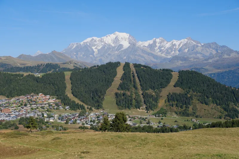
Last fall, I went on a hike to Mont Bisanne, in the Beaufortain mountains. I went there by car with my father, but in summer, it is also possible to get there with the Navettes natures Beaufortain.
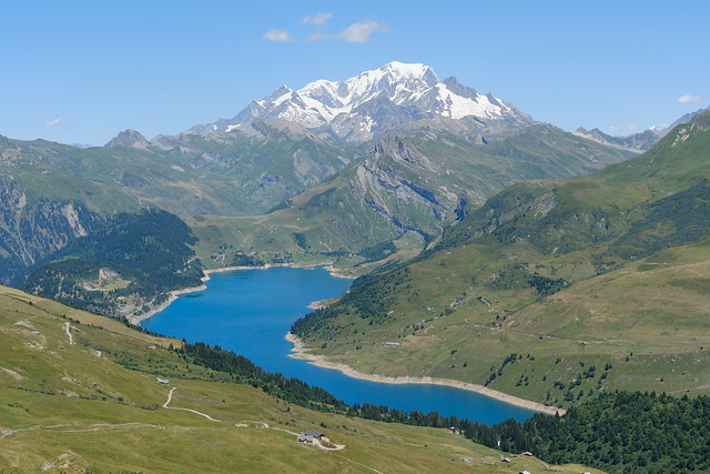
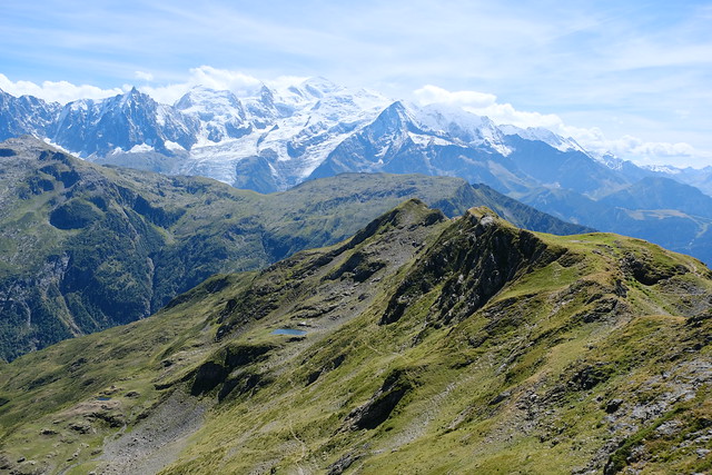
Lac de Roselend and Mont Blanc seen from near Roche Parstire.
I submitted that photo as my shot for this year’s “Your Best Shot 2025” on Flickr. It is nothing special technically but it was one of the best views I had this year. Here are more photos of the hike to Roche Parstire (starting from Lac de Saint-Guérin). That hike was quite easy and offered great views.
Last summer, I went on a hike to Chalet d’Aigue Faru, walking a path from Serraval to Saint-Ferréol. The chalet is in Saint-Ferréol high in the forest below the cliff of Crêt des Mouches. It is marked on the IGN map and I saw a photo album on Flickr by Chalet de l’Arclosan, a local lodge. However, apart from those photos, I couldn’t find a report or hiking directions, including if the IGN map was accurate. Even refuges.info didn’t have any information (I later asked about it and a marker was added but with no further info yet). So I went to have a look.
In the spring of 2024, I went on a hike to Pointe de Puvat, above Plateau des Glières. I started in Les Villards-sur-Thônes and ended up in Morette (Thônes).
In the summer of 2023, I went on a hike to Pointe Noire de Pormenaz. I had tried a few times before to reach the summit, but the paths I chose were not quick enough so I gave up. That summer, there was an early bus from Saint-Gervais so I made another attempt. On the way up, I took an alternate trail that I had scoped out during a previous attempt. On the way down, I walked to the Servoz train station.
Last year, I went on a hike to Pointe des Aravis and Aiguille de Borderan, on the north side of Col des Aravis. I had already been to Pointe des Aravis, starting from the village of La Clusaz. This time, I continued to Aiguille de Borderan.
Last winter, starting from Aillon-le-Jeune, I went on a hike to Mont Céty and Miradou, in the Bauges mountains. I used the winter shuttle serving the Aillons-Margériaz ski resort to get there, but, since there was no snow, it was ideal for hiking.
Last summer, I went on a hike to Porte des Aravis, a pass located between Les Parrossaz and Aiguille de Borderan in the Aravis above La Clusaz.
In autumn 2021, I went on a hike to Montagne d’Hirmentaz and Pointe de Miribel, in the Chablais mountains near Bellevaux.
A few weeks ago, I went on a hike to Roche Blanche above Thônes. There are a few mountains called Roche Blanche (or some variations like Rocher Blanc) in the area and I have been on a quest to climb them. I couldn’t find a guide online about this mountain but it was easy enough to get there (there were a few hand-made signs showing direction). On the way, I also visited Crêt Couturier.