Hike to Lacs Noirs (Chamonix)
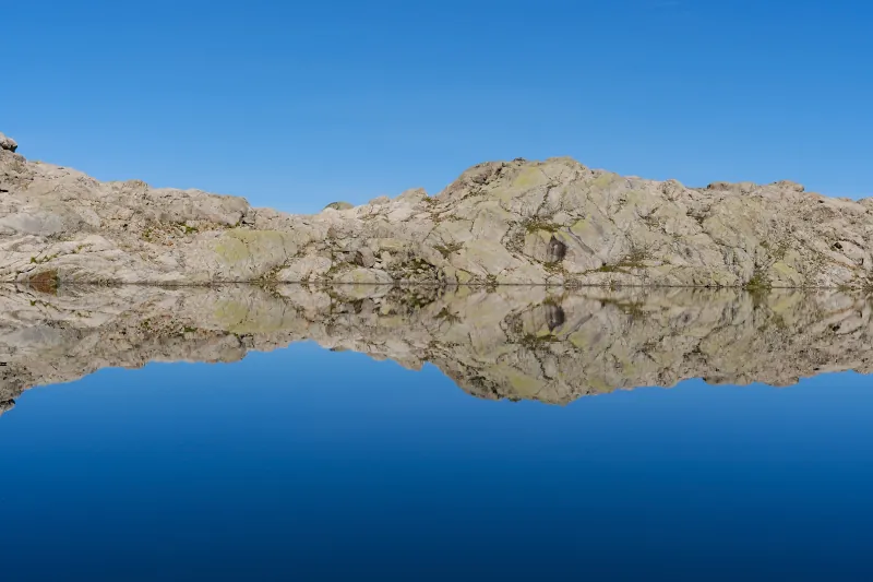
In late summer, I went on a hike to Lacs Noirs in Chamonix. I had already been there many times but that day, I wanted to go up to the ridge north of the lakes, walk around the hill next to it, then reach Col des Lacs Noirs and finally go back to the lakes. I couldn’t find much info about that area: Only that hike report which describes a climb to Aiguilles de la Glière passing that way. In the end, I accomplished my goal and walked a loop around both lakes.
Here is a map of the path I walked:
- Download path KML
- Download large map
- More photos on Flickr
- Day of the hike: September 4, 2026
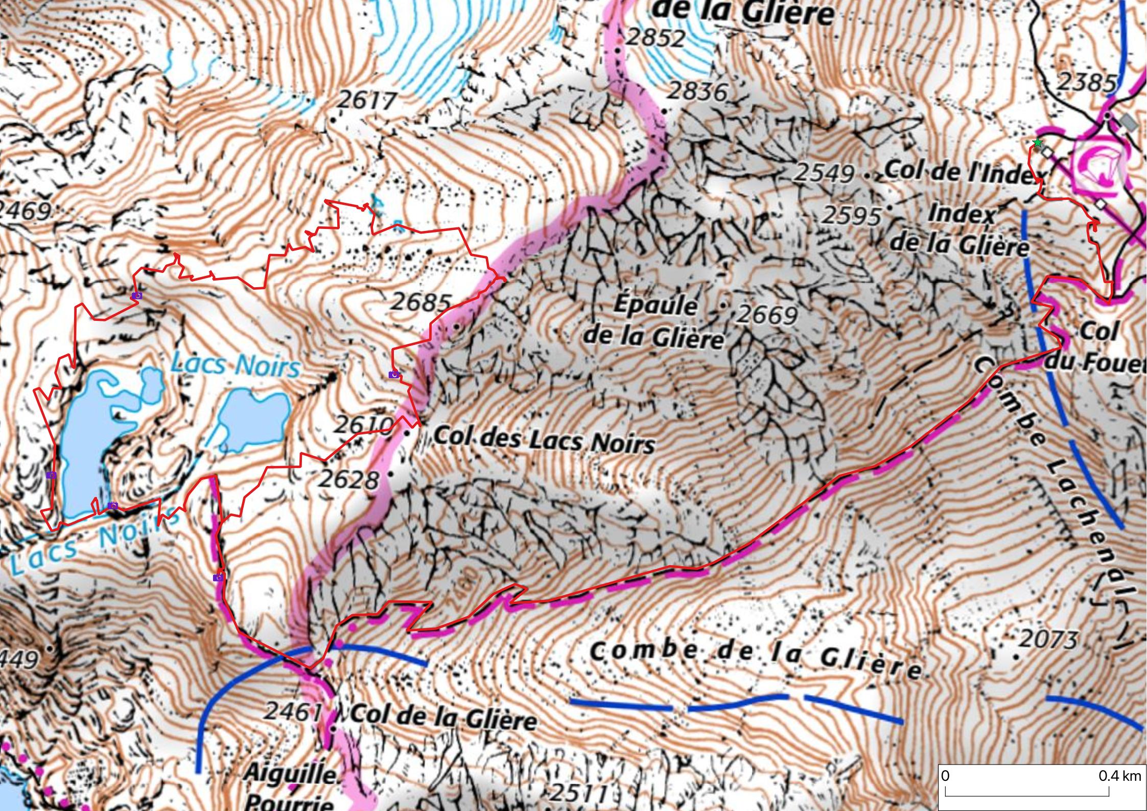
In the morning, I went by train to Chamonix, then boarded a local bus to Les Praz, where the lower station of Télécabine de la Flégère is located. I had arrived early enough that I had to wait for it to open. Once in La Flégère, I boarded Télésiège de l’Index which got me to L’Index. I first walked down in order to reach Combe de la Glière, then climbed up again to Col de la Glière. I kept going up in order to reach Lacs Noirs.
When the upper lake (Lac Noir d’en Haut) was in view, I took a path down towards the lower lake (Lac Noir d’en Bas). I walked past the lake outlet: After that, there was no longer any trail and I had to continue by feel through the rocks. I went up to the ridge that I had as a goal for the day. There was a good view on the 2 lakes from up there. I kept going: The ridge was blocked by steep rocks. An alpine ibex was lazing around. I left the lakes behind and passed in the valley north-east of the ridge below Aiguille de la Glière. The area had glacier-polished rocks and was covered with smaller stones. There were a few small lakes as well, still with water despite the drought of the summer. I walked up towards the cliff above Combe de la Glière. There was a view of Mont Blanc and the aiguilles and glaciers of Chamonix.
Finally, I walked back in view of the lakes and went down to Col des Lacs Noirs. There was a brand new weather station. I then went down to Lac Noir d’en Haut and closed the loop. I left the Lacs Noirs area and walked the same path as on the way up in order to get back to the upper station of Télésiège de l’Index to go down to the valley.
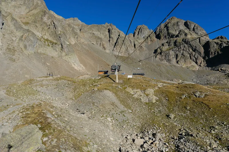
▲ Reaching L’Index on the chairlift (Télésiège de l’Index).
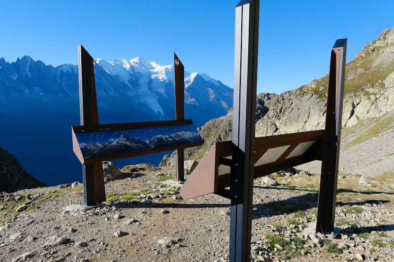
▲ New orientation table below the station.
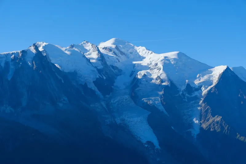
▲ Mont Blanc.
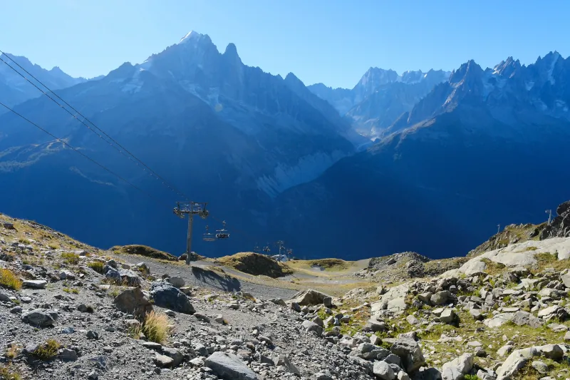
▲ The chairlift, with Mer de Glace in the background.
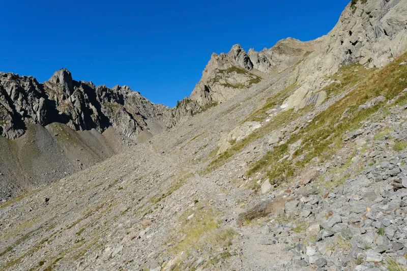
▲ Going up Combe de la Glière.
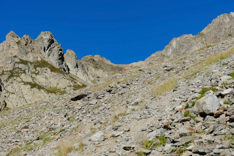
▲ Col des Lacs Noirs above.
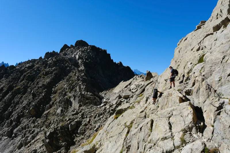
▲ Just before Col de la Glière below Aiguille Pourrie (on the left), with some metal handrails for help.
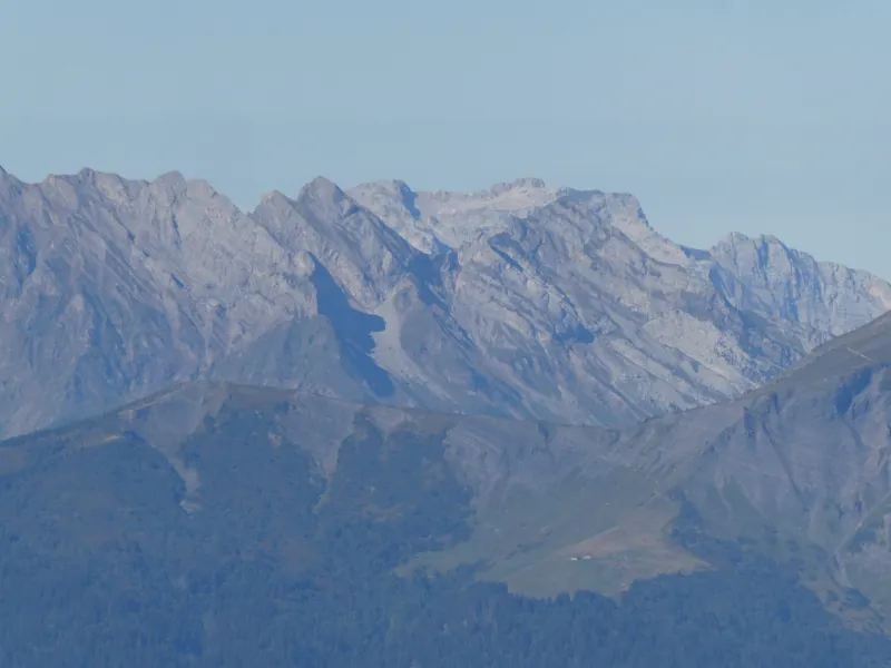
▲ La Tournette in the distance.
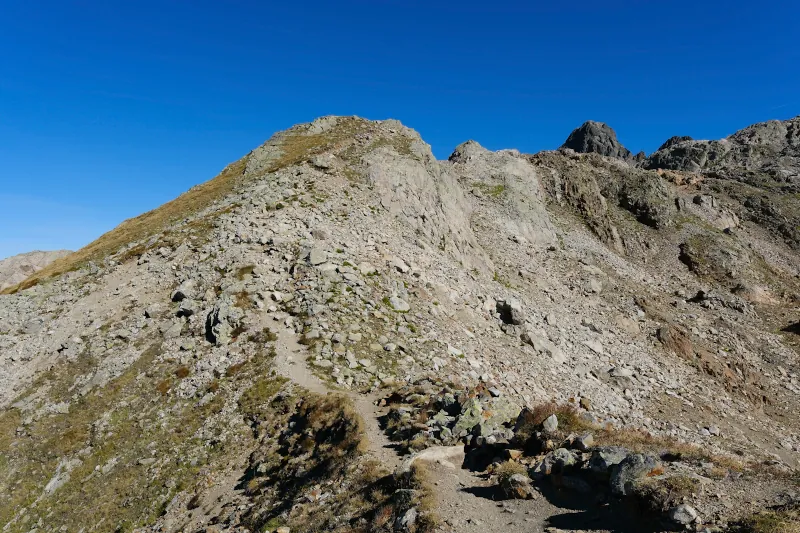
▲ On the way up to Lacs Noirs.
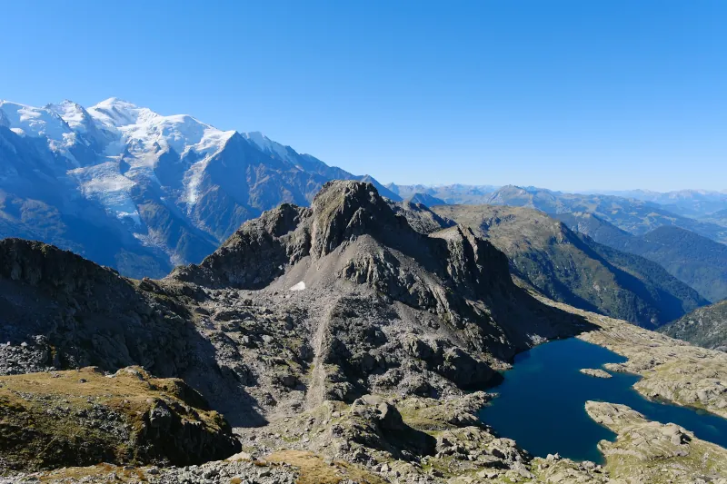
▲ Mont Blanc, Aiguille de Charlanon and Lac Cornu.
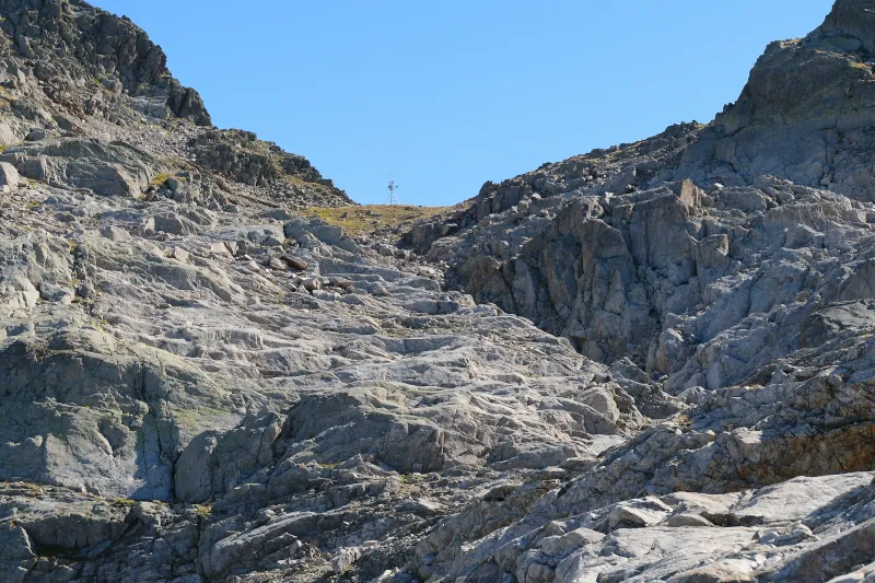
▲ Weather station on Col des Lacs Noirs.
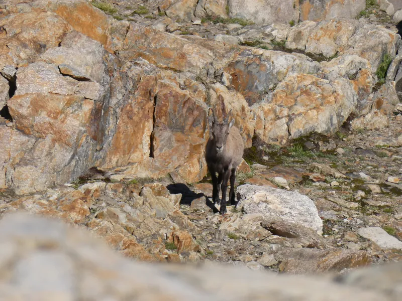
▲ Alpine ibex.
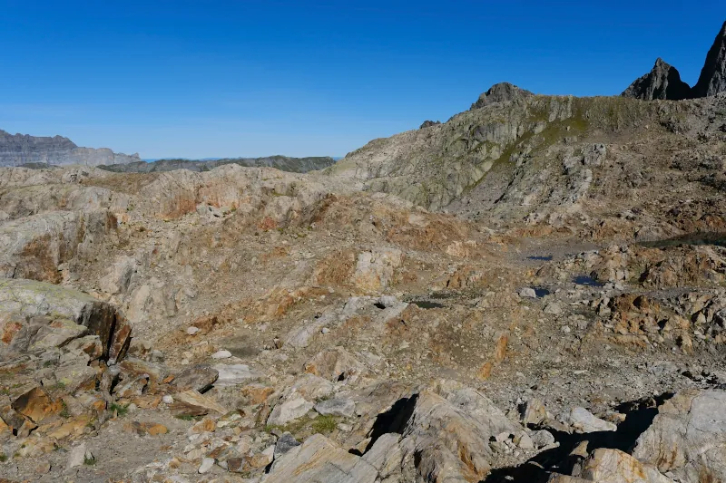
▲ The area between the 2 lakes.
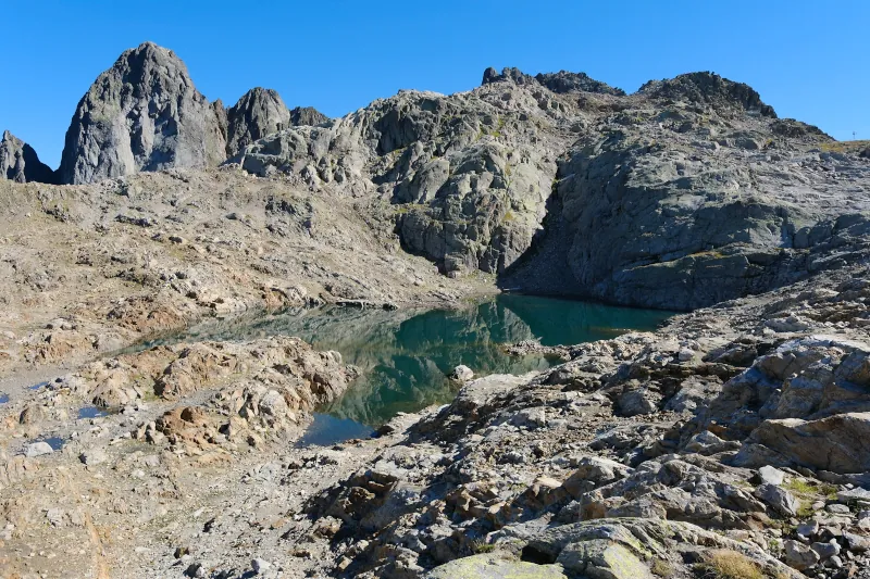
▲ Lac Noir d’en Haut.
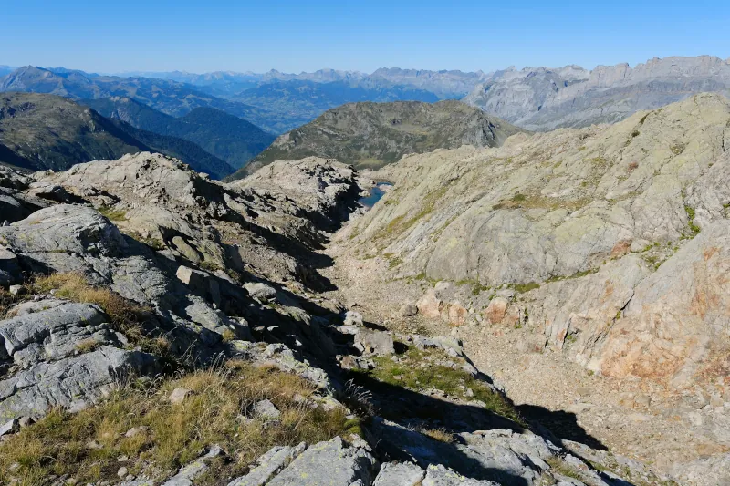
▲ On the way to Lac Noir d’en Bas. At first, I walked on the rocks above the trench but it was not very easy-going so I went down later.
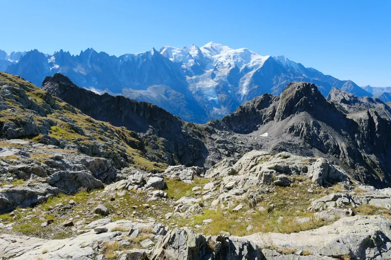
▲ Mont Blanc.
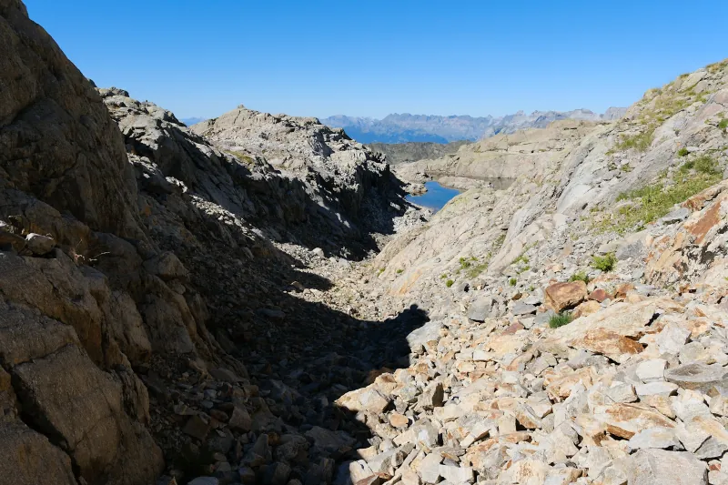
▲ Lac Noir d’en Bas.
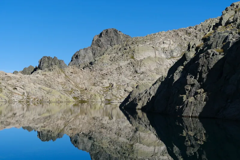
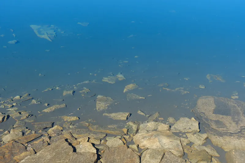
▲ Clear water.
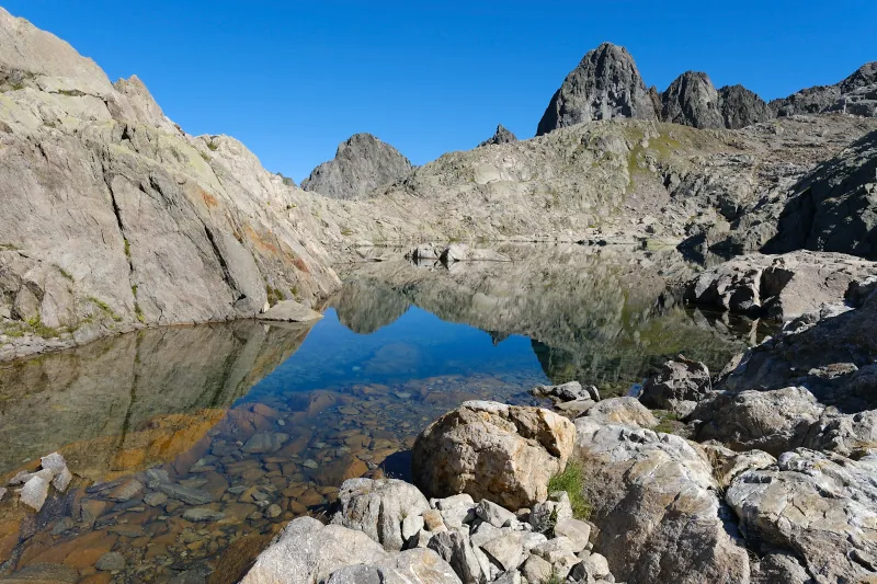
▲ Passing the outlet.
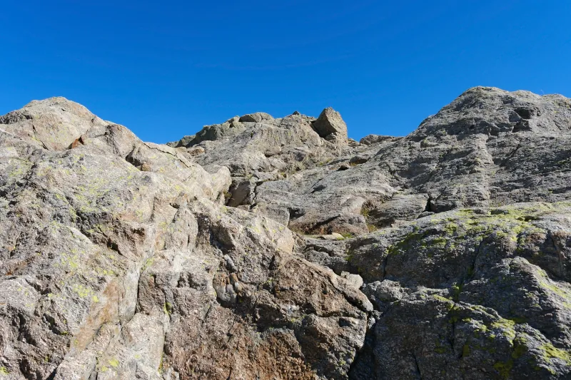
▲ Walking through the rocks west of the lake.
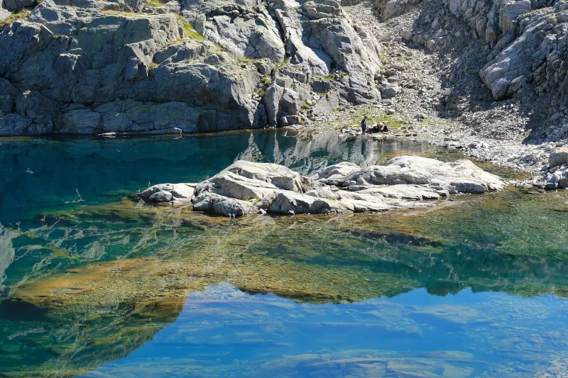
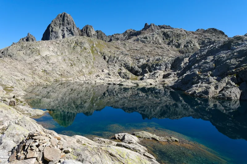
▲ I am going to the ridge ahead.
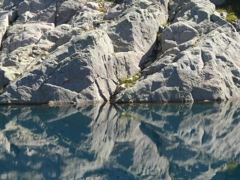
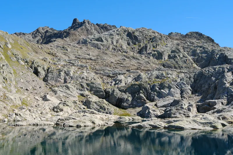
▲ Towards the upper lake (not visible).
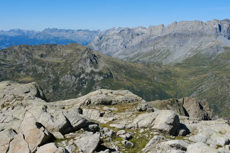
▲ Pointe Noire de Pormenaz. The Aravis and Bauges are in the background.
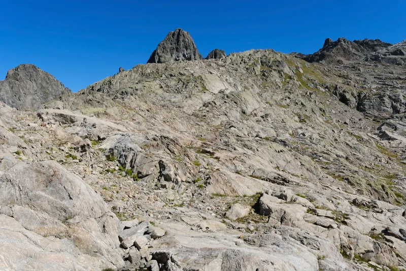
▲ Starting on the way up. Aiguille du Pouce is peaking through in the background.
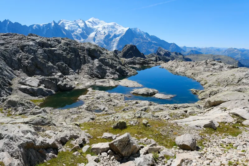
▲ Lac Noir d’en Bas.
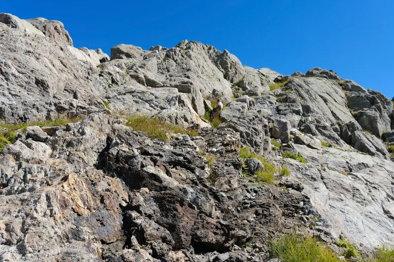
▲ No trail.
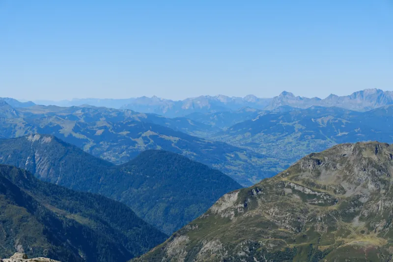
▲ Tête Noire below. I went there last year: No post but here are some photos.
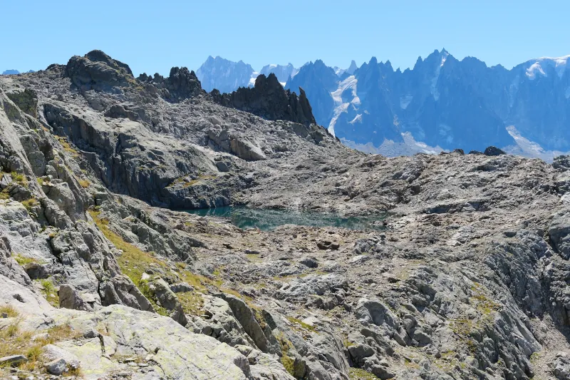
▲ Lac Noir d’en Haut.
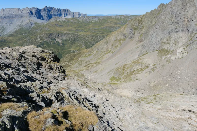
▲ Torrent de la Floria below.
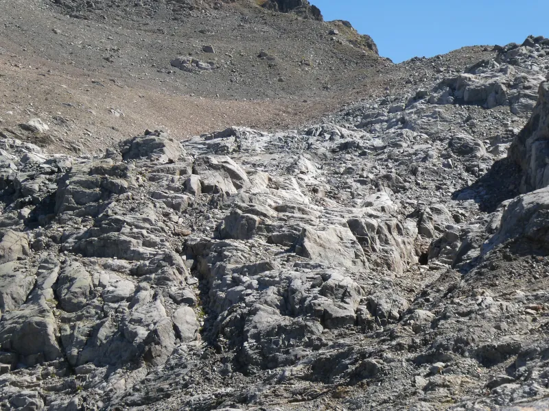
▲ Polished rocks. I am going there afterwards.
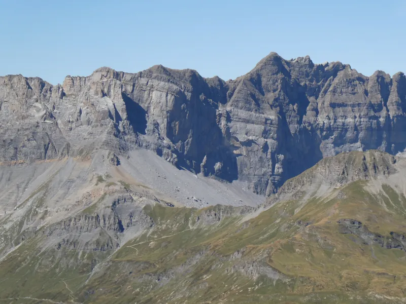
▲ Fiz and Col d’Anterne.
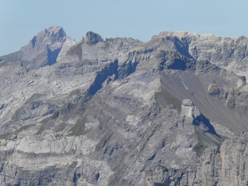
▲ Pointe Percée (in the background), Aiguille de Varan and Pointe de Platé.
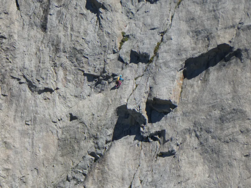
▲ Climber on Aiguille du Pouce.
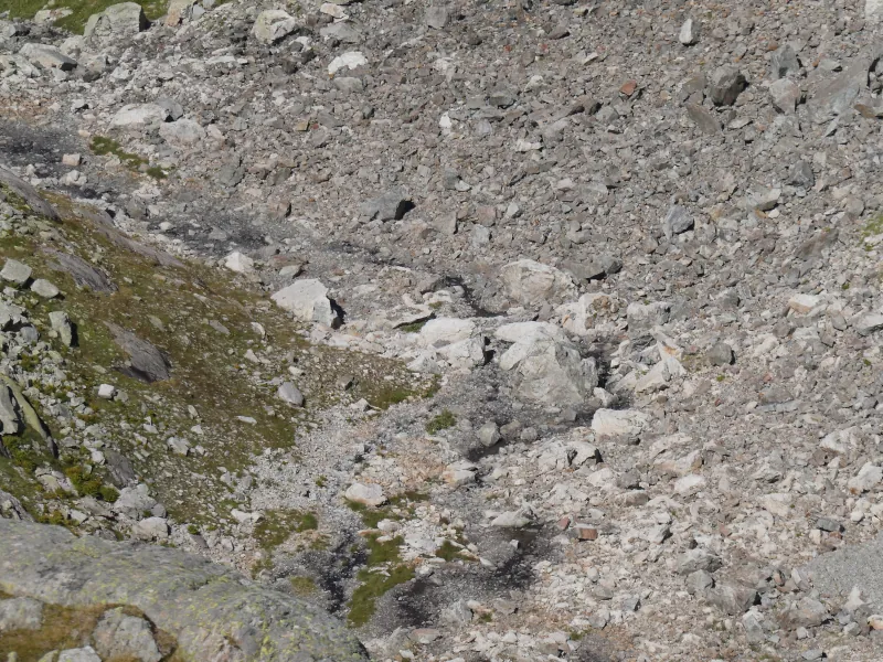
▲ Torrent de la Floria.
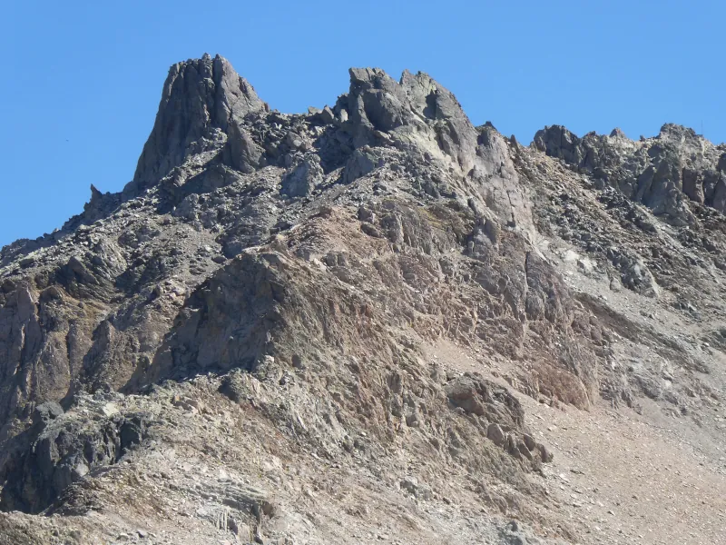
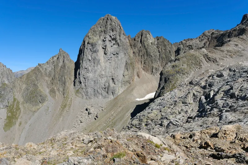
▲ Aiguille de la Glière.
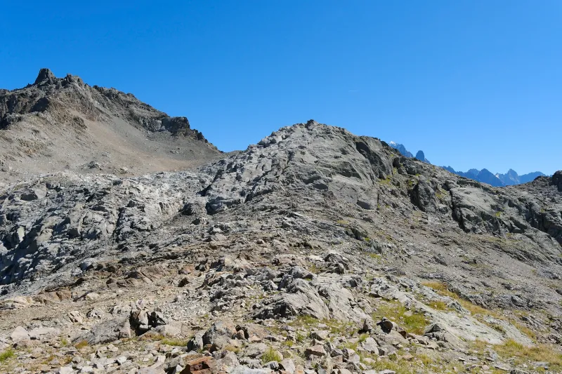
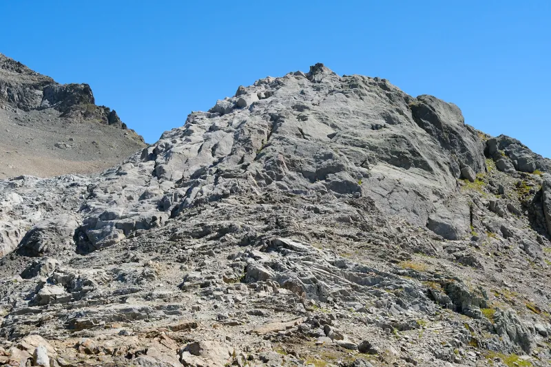
▲ The ridge I wanted to visit. The rocks ahead are too steep to pass directly. I instead went around them by passing on the left, below Aiguille de la Glière.
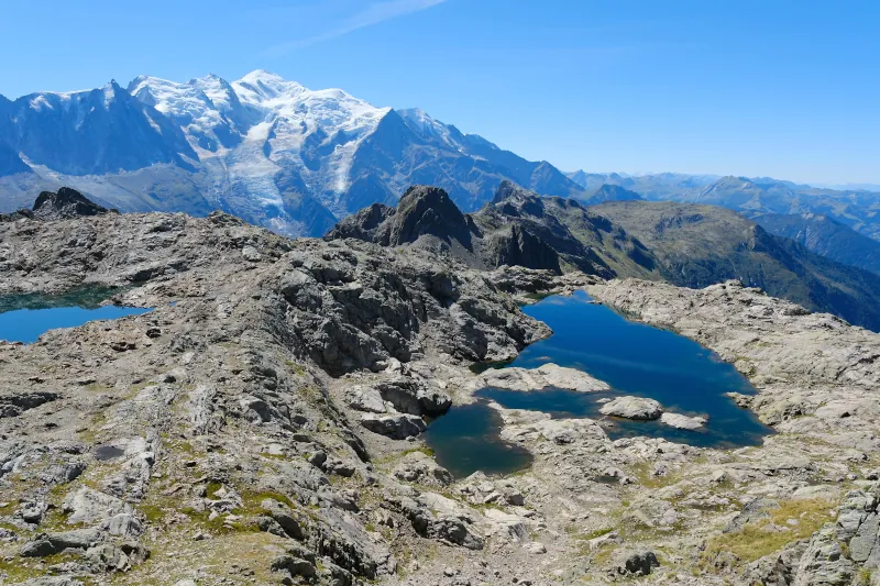
▲ The 2 lakes and Mont Blanc.
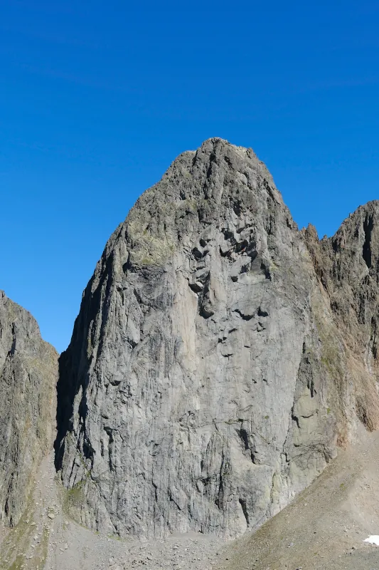
▲ Aiguille du Pouce.
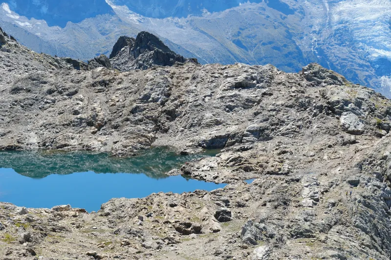
▲ Lac Noir d’en Haut.
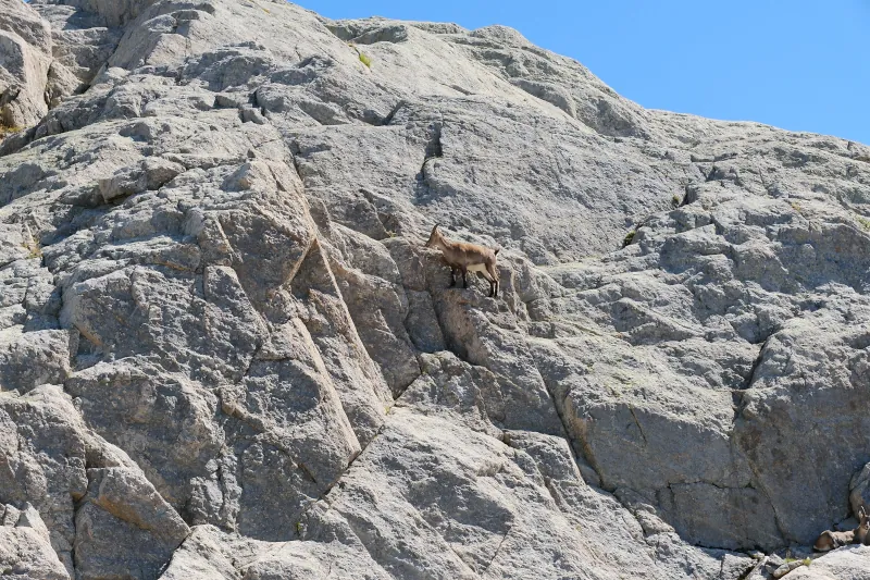
▲ Alpine ibex.
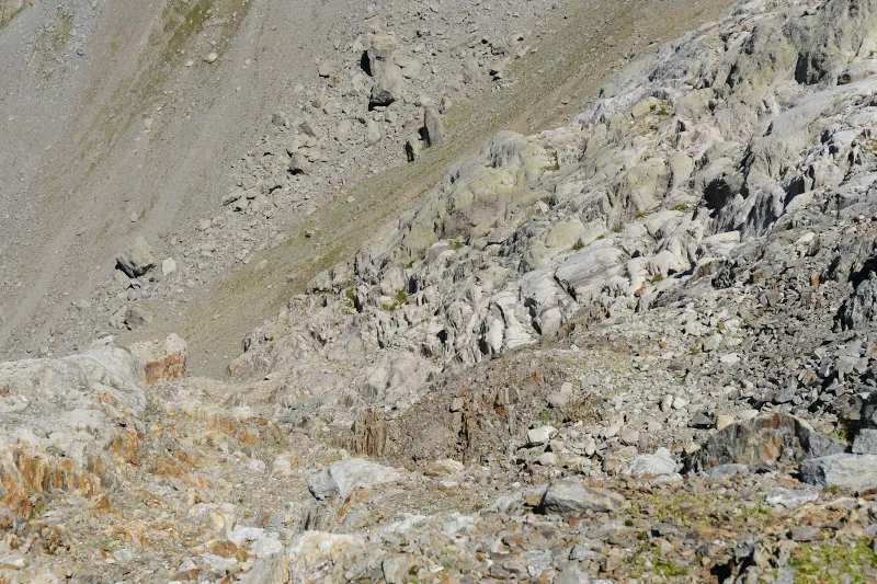
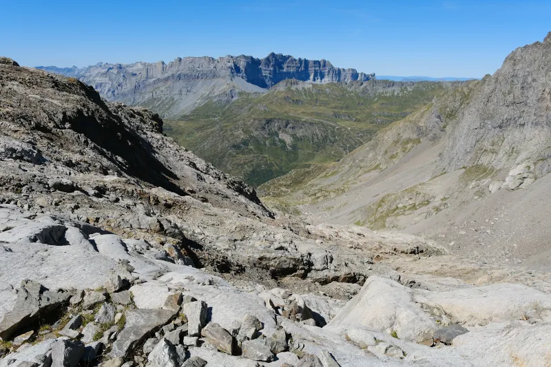
▲ Bed of Torrent de la Floria below.
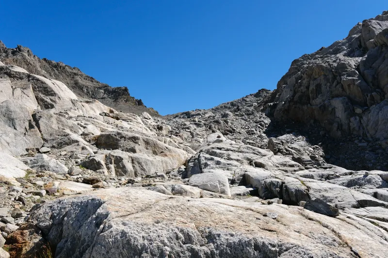
▲ Glacier-polished rocks.
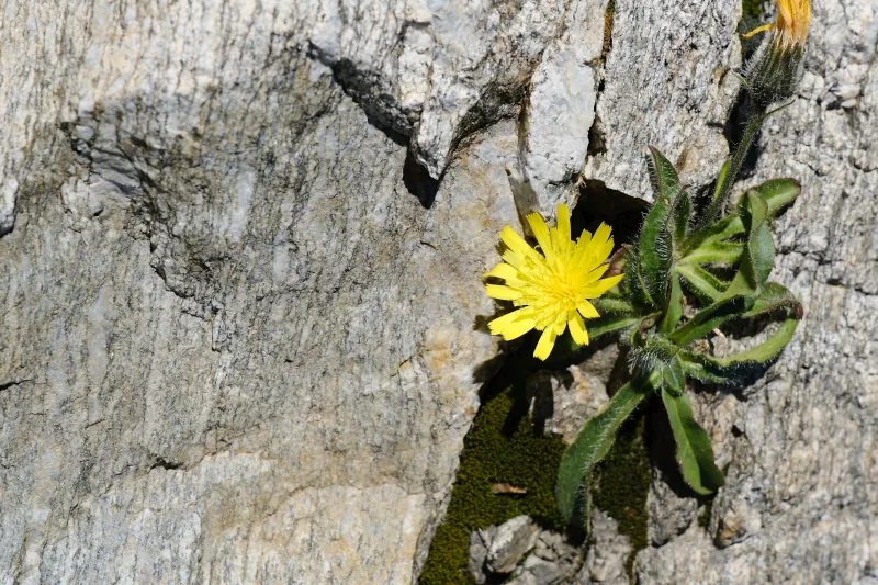
▲ A touch of color.
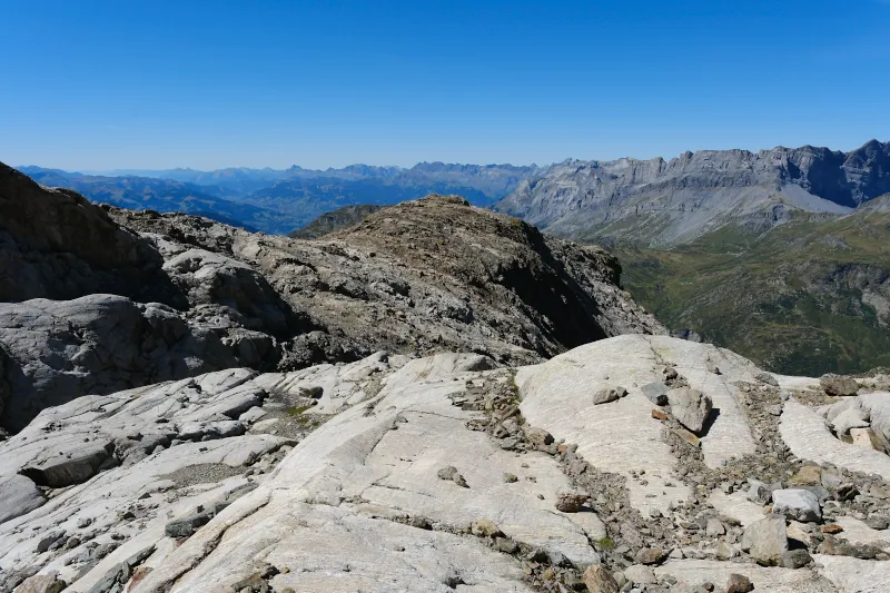
▲ Looking back at the ridge.
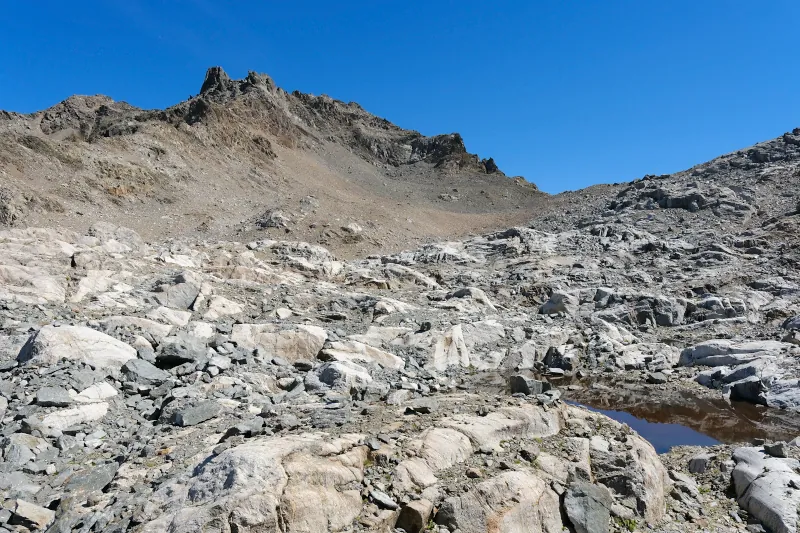
▲ Below Aiguille de la Glière.
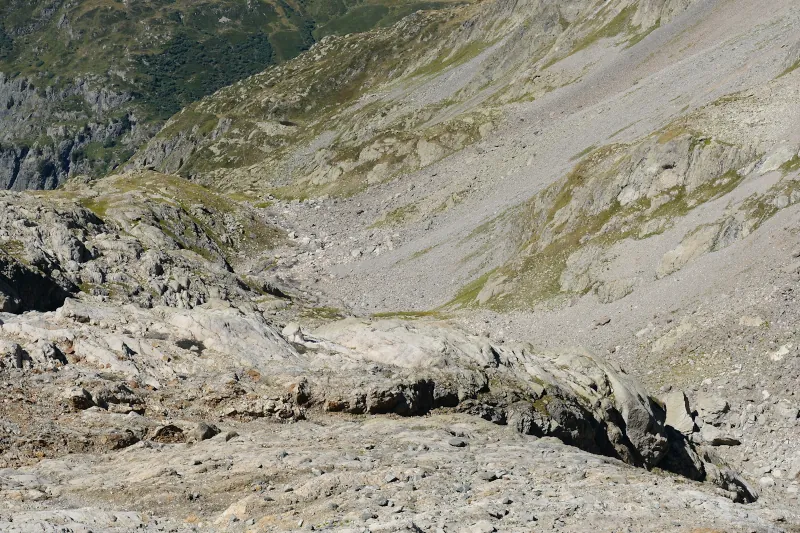
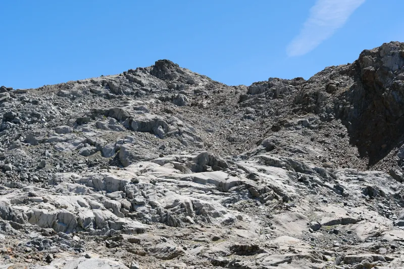
▲ I will walk up to the cliff next to that peak. I will then walk past it: Col des Lacs Noirs is below it on the right side.
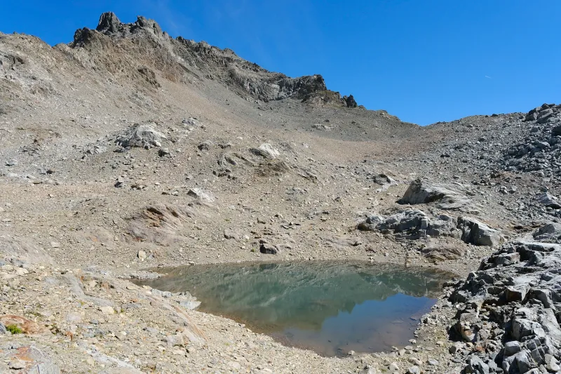
▲ Small lake.
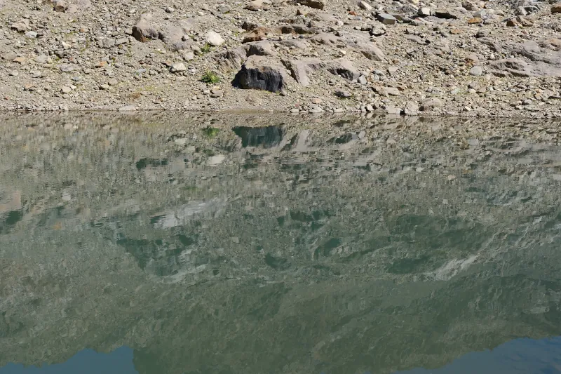
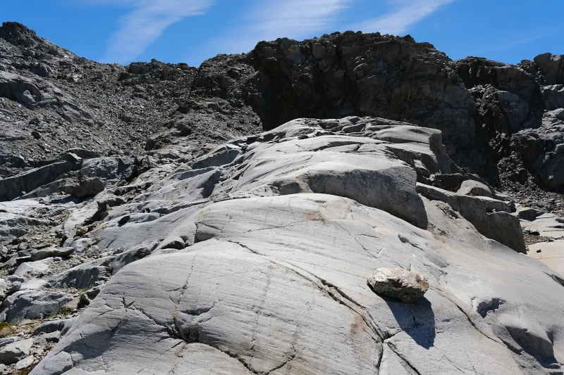
▲ Smooth.
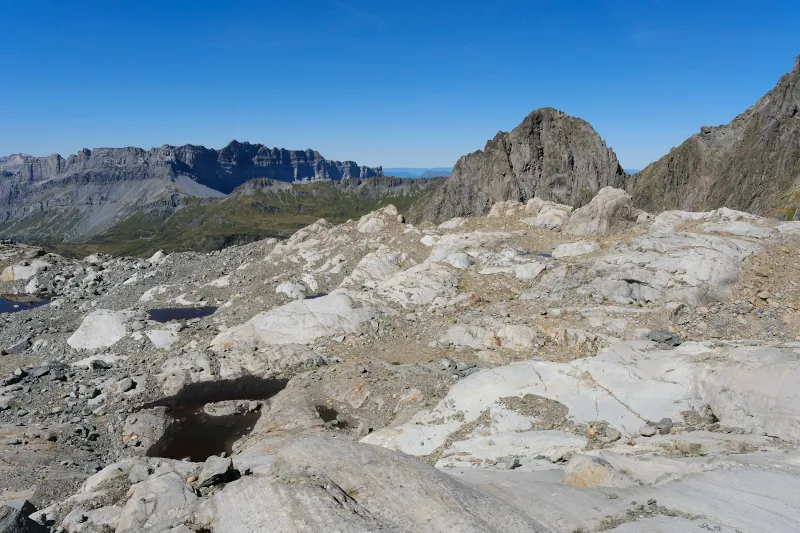
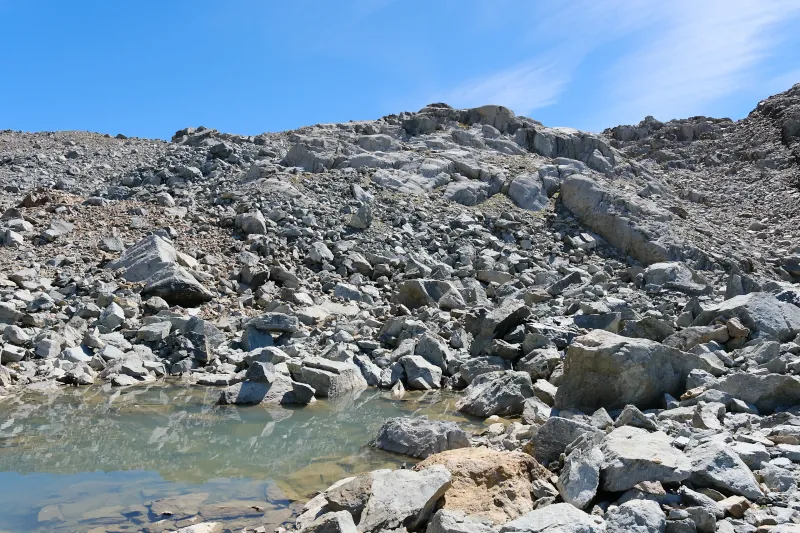
▲ Another lake.
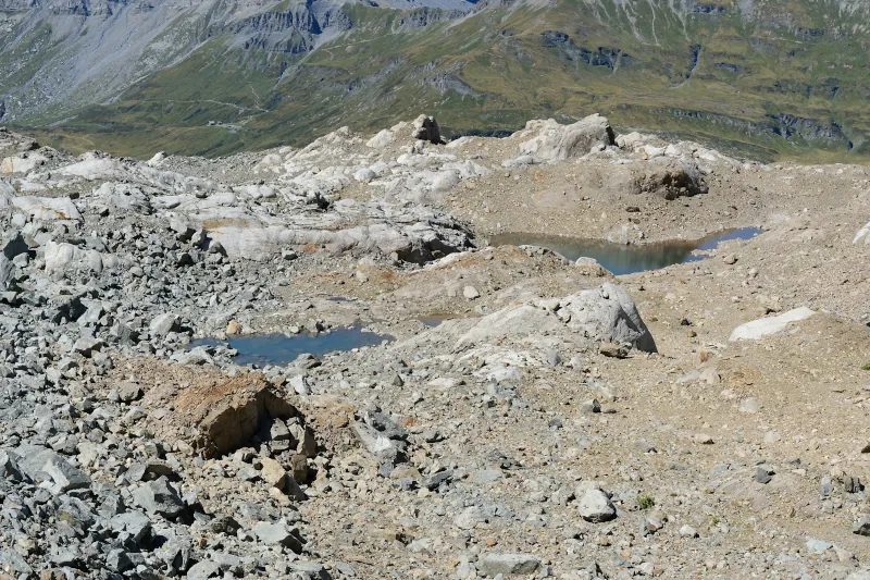
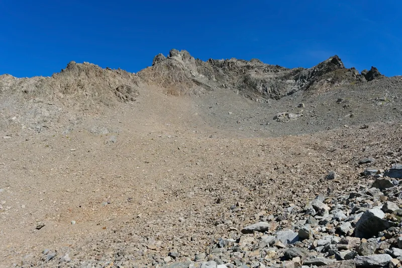
▲ Below Aiguille de la Glière.
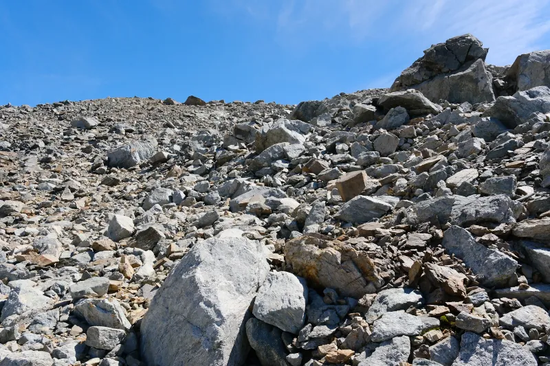
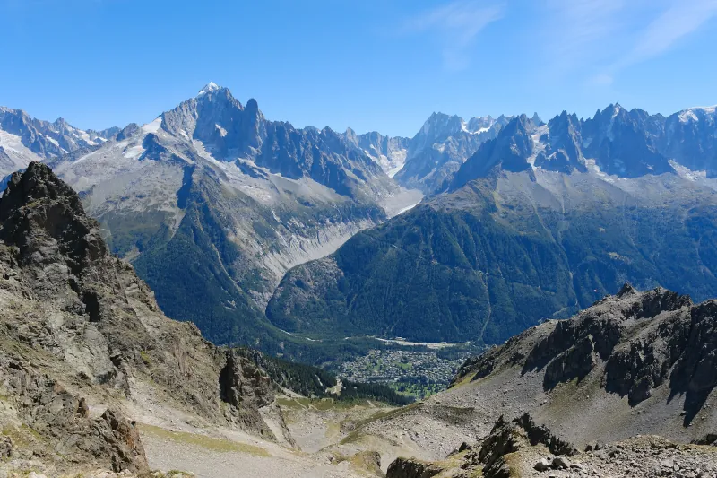
▲ Above Combe de la Glière, looking at Aiguille Verte and Mer de Glace.
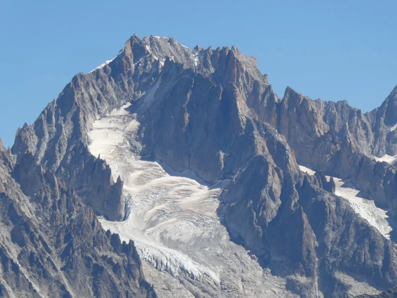
▲ Aiguille d’Argentière.
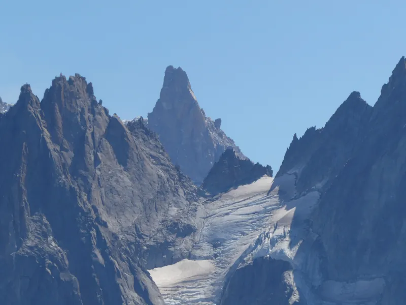
▲ Dent du Géant.
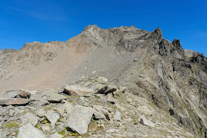
▲ Towards Aiguille de la Glière.
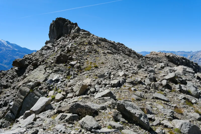
▲ Col des Lacs Noirs is on the other side of that peak. I will walk around it on the right side.
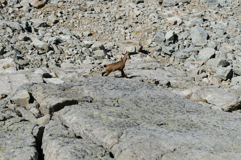
▲ Young alpine ibex.
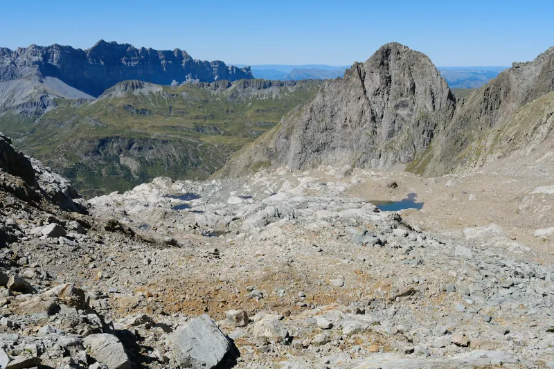
▲ Last view at the small lakes.
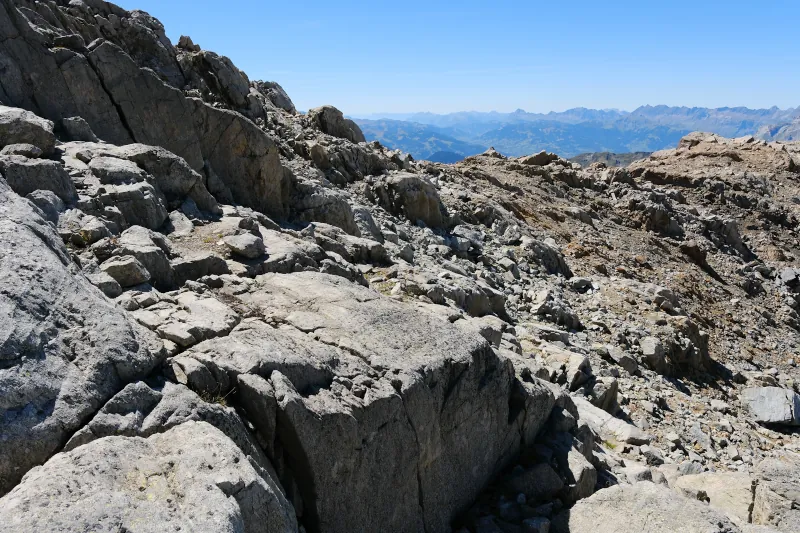
▲ Small pass. There may be a good view of Lacs Noirs from the platform on the right but I didn’t visit it since I felt I had to move on in order to reach the chairlift in time (in the end, I would have been fine).
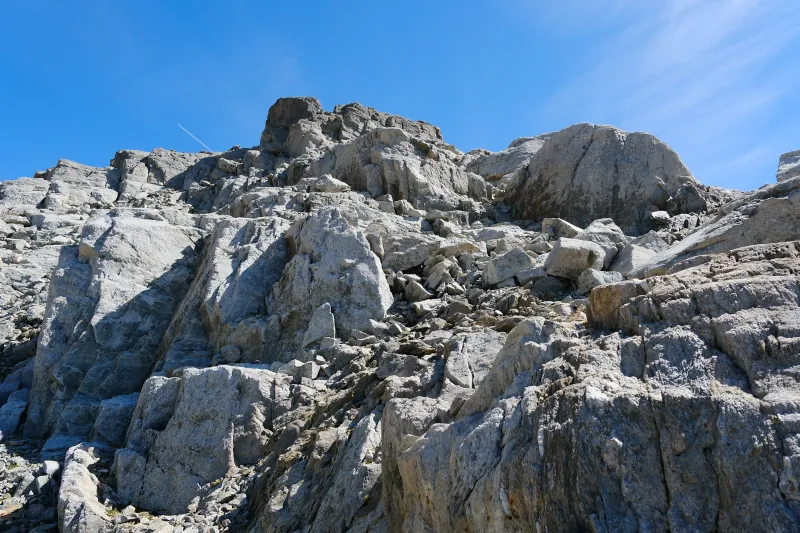
▲ The peak on my left.
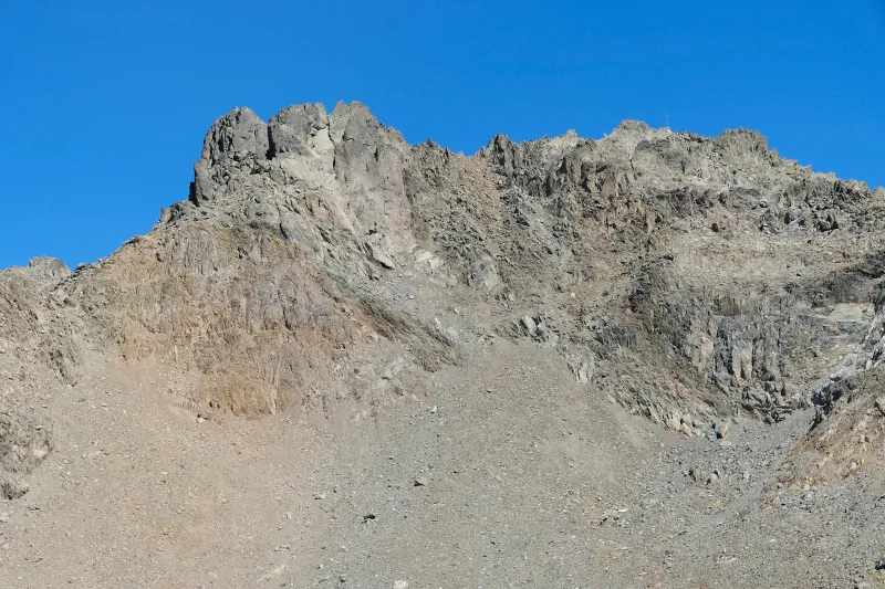
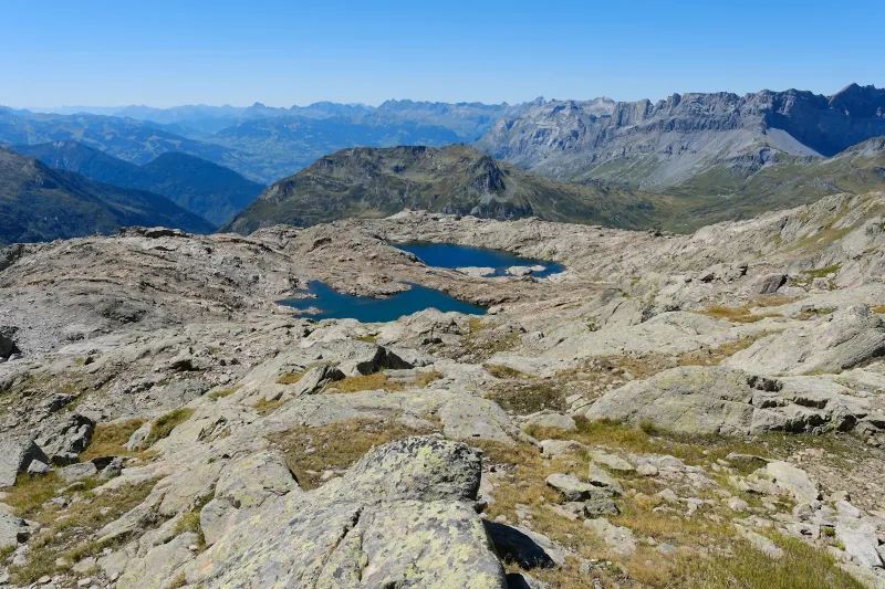
▲ Lacs Noirs back in view.
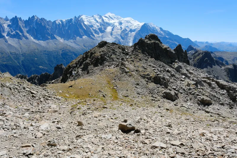
▲ Col des Lacs Noirs.
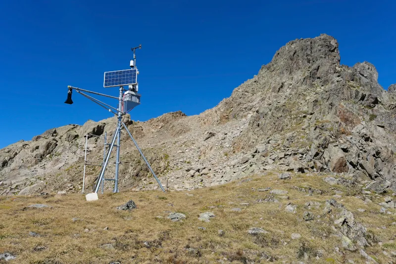
▲ Weather station at Col des Lacs Noirs. It was built by a French company (Apical Technologies) and seems operated by Météo France. The path I used to get down is behind it.
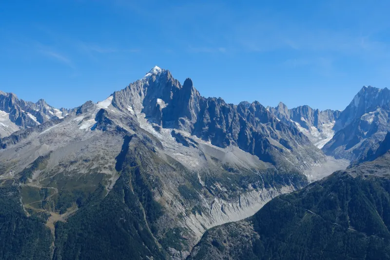
▲ Aiguille Verte.
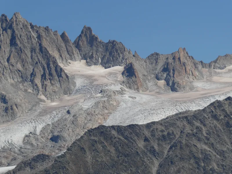
▲ Glacier du Tour.
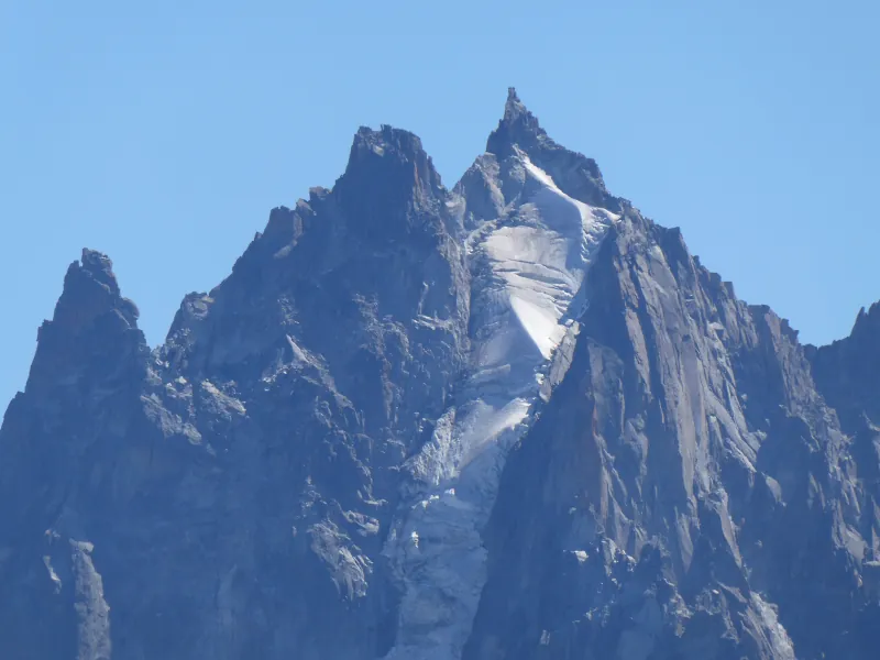
▲ Aiguille du Plan.
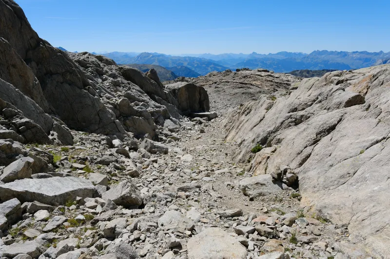
▲ On the way down to Lacs Noirs.
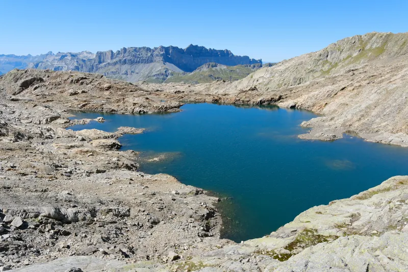
▲ Lac Noir d’en Haut.
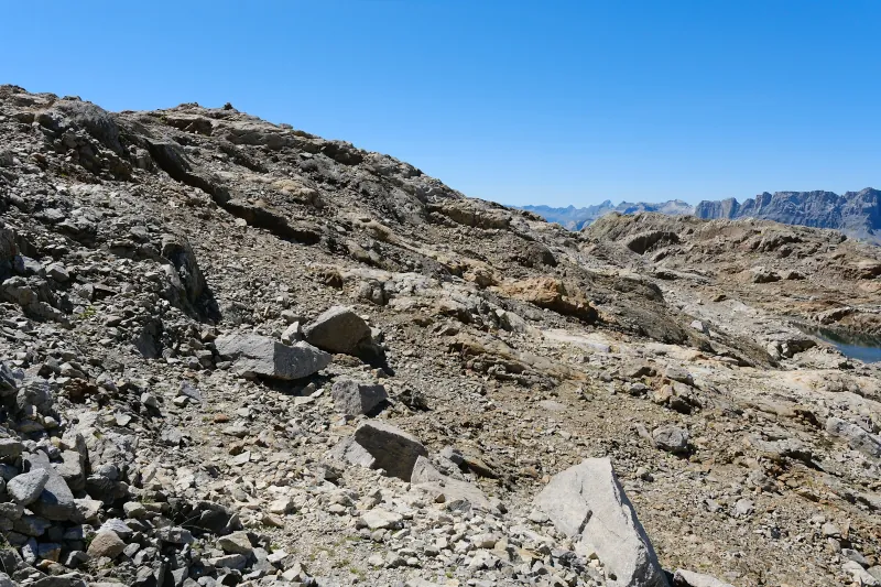
▲ Closing the loop around Lacs Noirs.
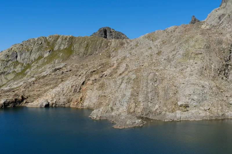
▲ The ridge I was on earlier.
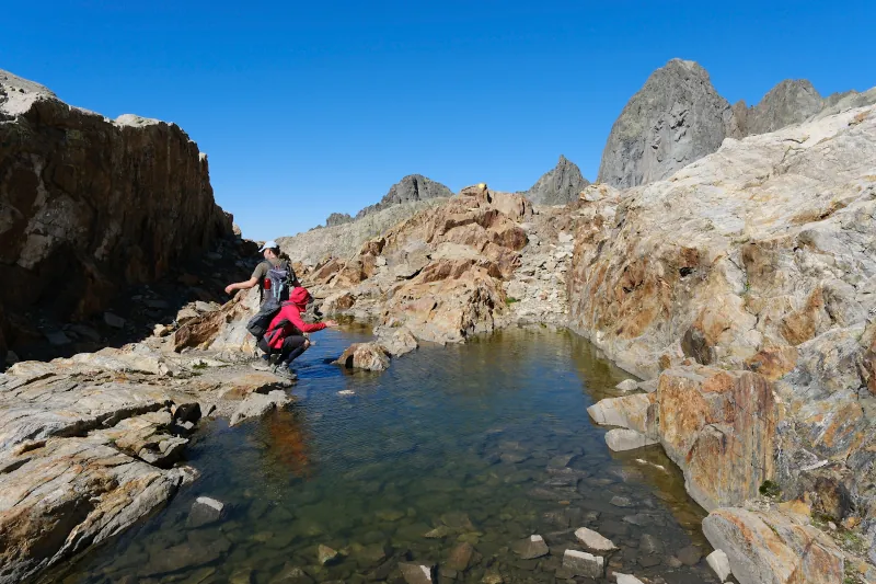
▲ Hikers, on the way back to Col de la Glière.
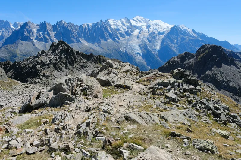
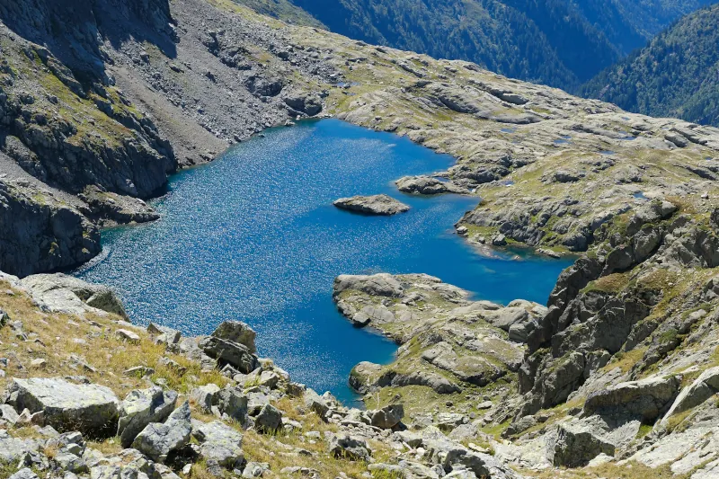
▲ Lac Cornu.
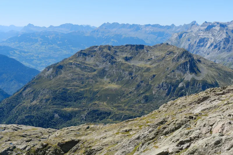
▲ Pointe Noire de Pormenaz.
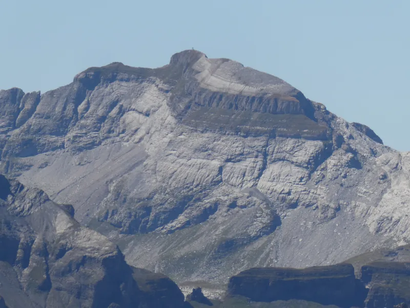
▲ Tête du Colonney.
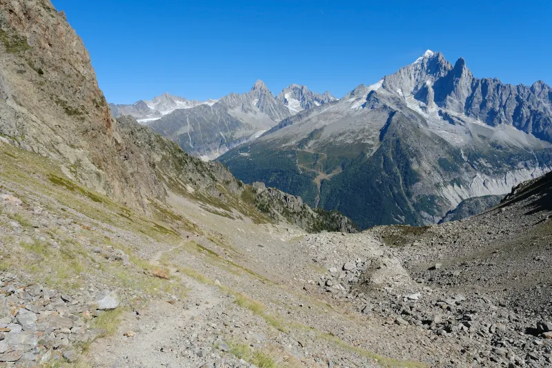
▲ Trail in Combe de la Glière.
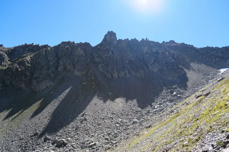
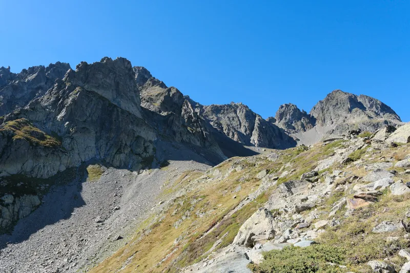
▲ Almost back at the upper station of Télésiège de l’Index.
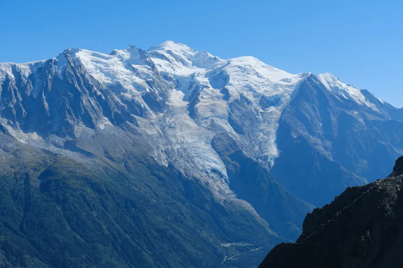
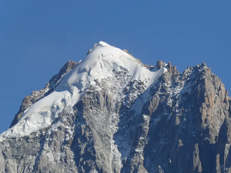
▲ Aiguille Verte.
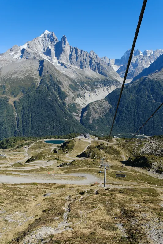
▲ On the chairlift, on the way down to La Flégère.