Hike to Mont des Dunes (Aravis)
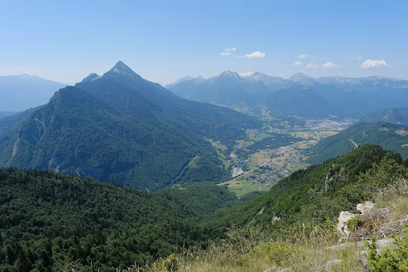
At the beginning of summer, I went to Le Bouchet-Mont-Charvin, on a hike to Mont des Dunes: On an old map (Carte d’État-major 1820-1866), it is the name given to the small range between Col de l’Épine and Col du Fer, above Marlens. I had already been there in winter, but looking at the aerial photos, I saw what looked like a grass patch above the cliff that maybe had a good view on the valley, so I came back to check it out. I was right!
Here is a map of the path I walked:
- Download path KML
- Download large map
- More photos on Flickr
- Day of the hike: June 26, 2026
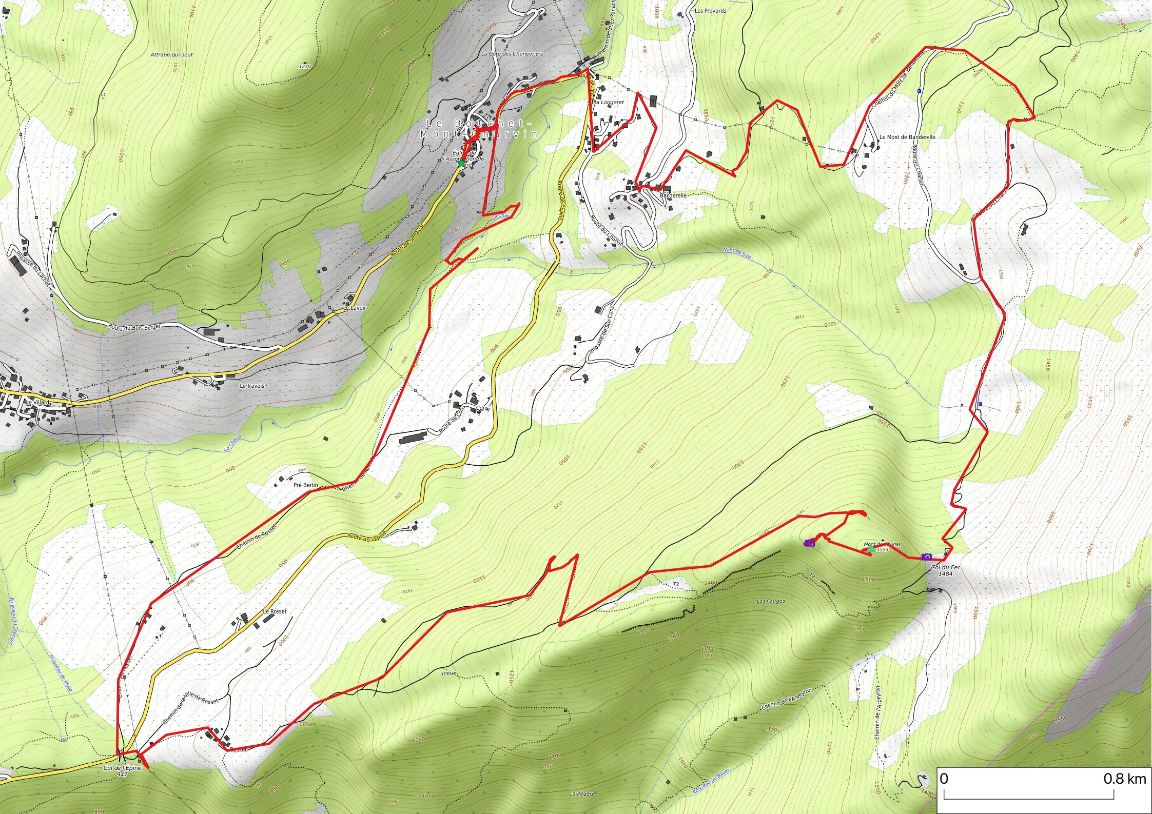
In the morning, I took the bus from Annecy-le-Vieux to Thônes, then boarded a summer shuttle (Aravis Bus line V) to Le Bouchet-Mont-Charvin. I started walking from there: First, I went down to La Chaise (a river), then walked up to Col de l’Épine. I kept going up towards Mont des Dunes, made a detour to the viewpoint, then went to the summit (no view). After that, I went down to Col du Fer. Finally, I closed the loop and walked down to Le Bouchet-Mont-Charvin to take the bus back to Thônes.
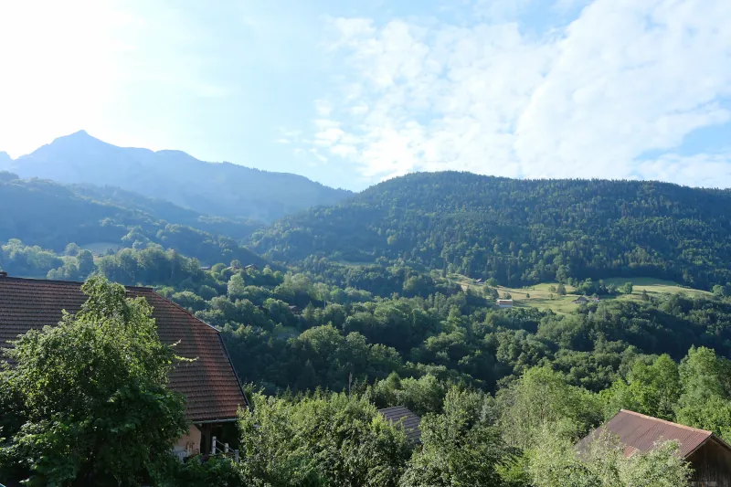
▲ Looking towards Mont des Dunes from Le Bouchet-Mont-Charvin.
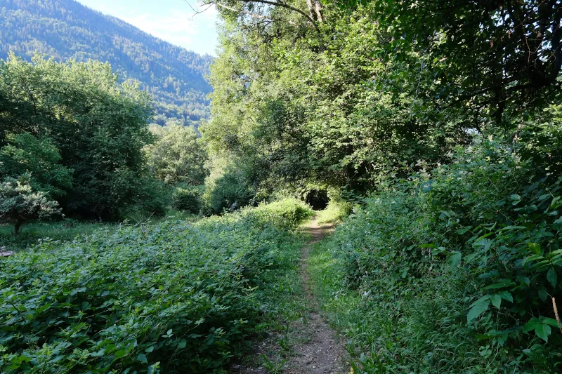
▲ Towards La Chaise.
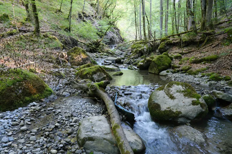
▲ La Chaise.
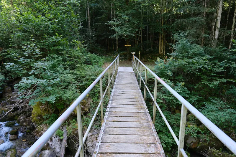
▲ Passerelle du Vieux Moulin.
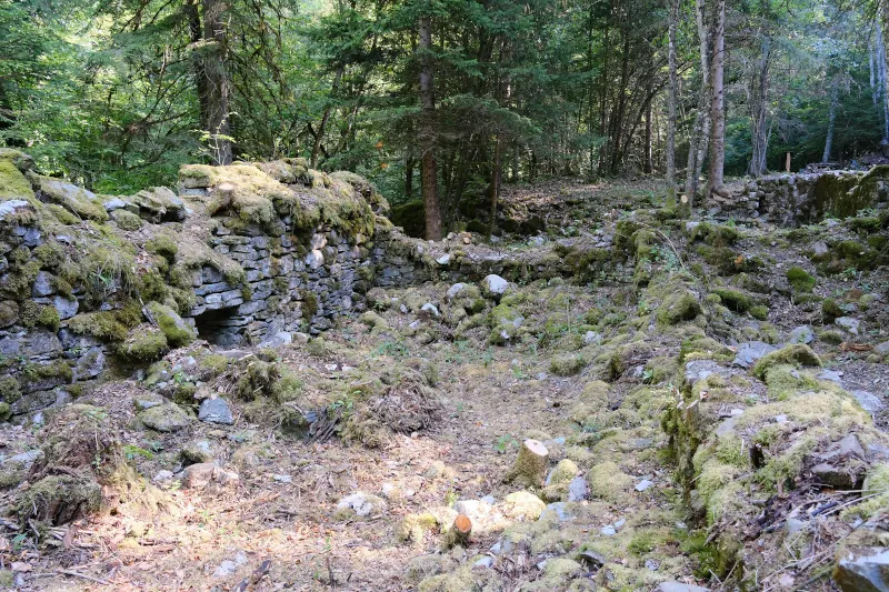
▲ The Vieux Moulin (Old Watermill). The ruins were recently cleared as part of the creation of the hiking trail Boucle Culturelle du Bouchet (Le Bouchet Cultural Loop).
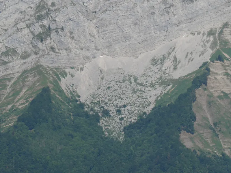
▲ Towards Chalet d’Aigue Faru (behind the the small hole on the bottom left).
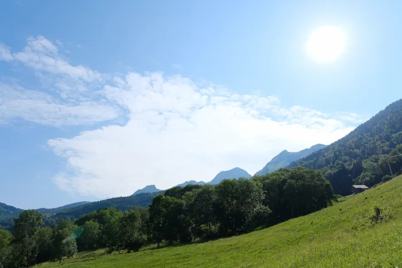
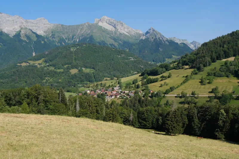
▲ Towards La Tournette.
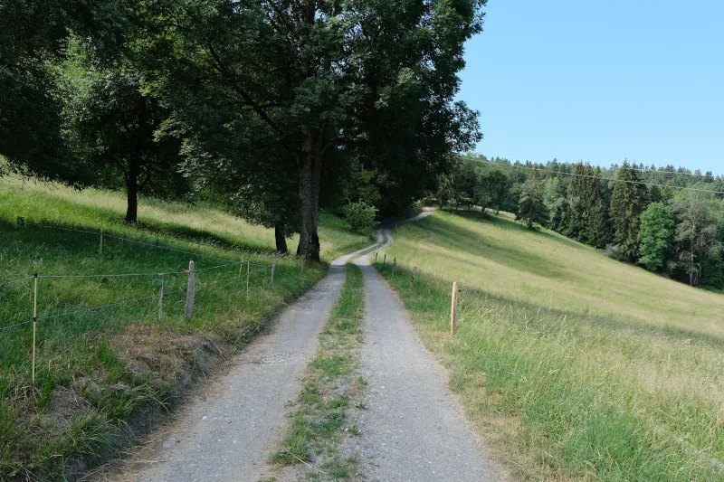
▲ On the way to Col de l’Épine.
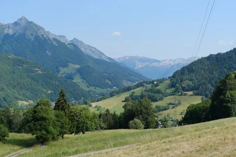
▲ View from Col de l’Épine.
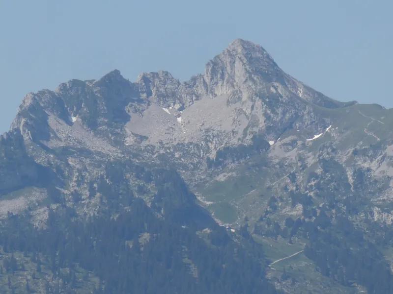
▲ Pointe de la Sambuy.
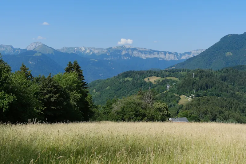
▲ Above Ville de Rosset.
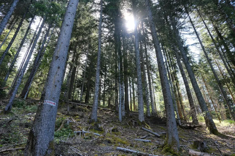
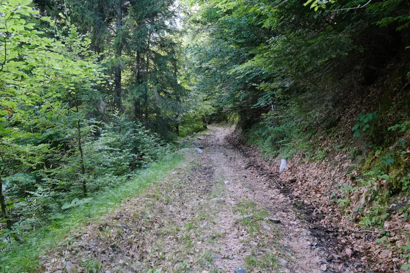
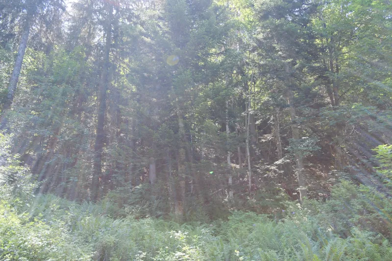
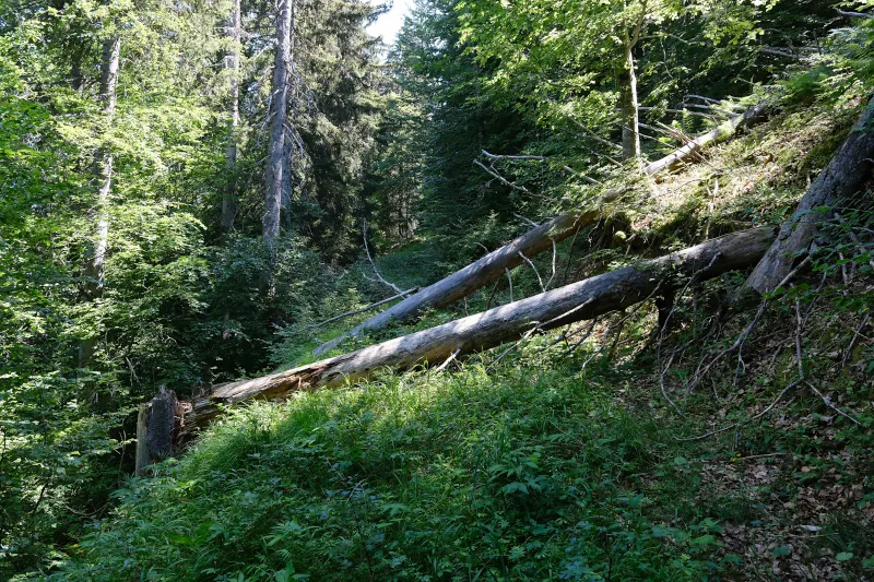
▲ Unmaintained forestry track towards Mont des Dunes.
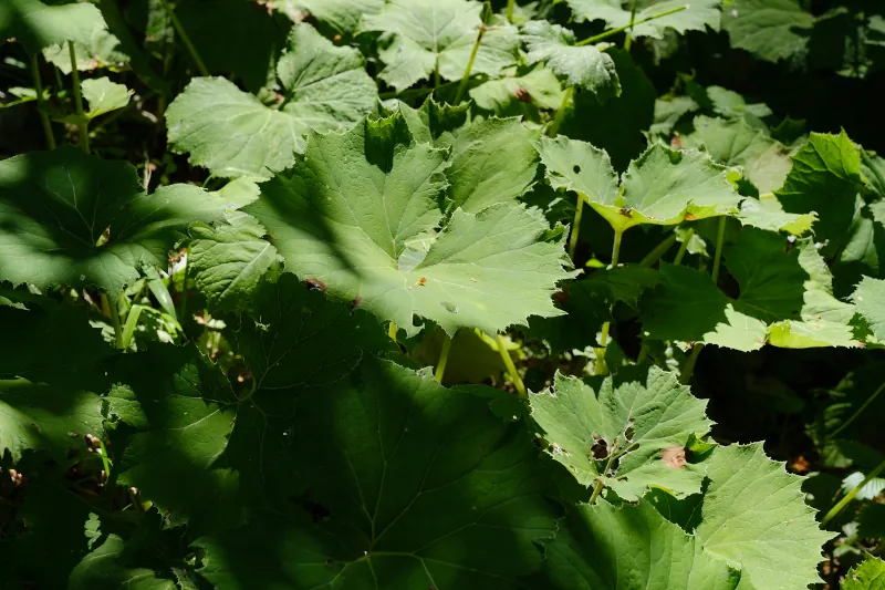
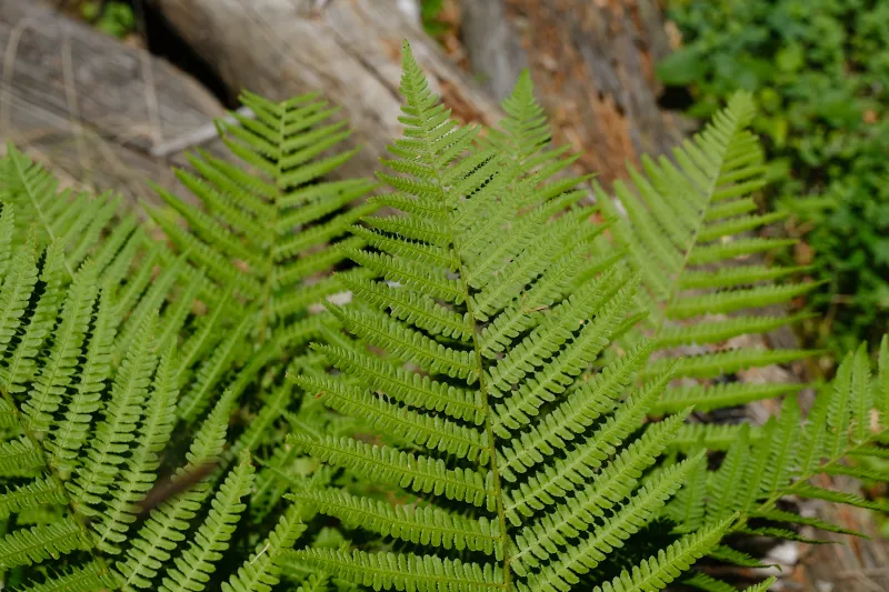
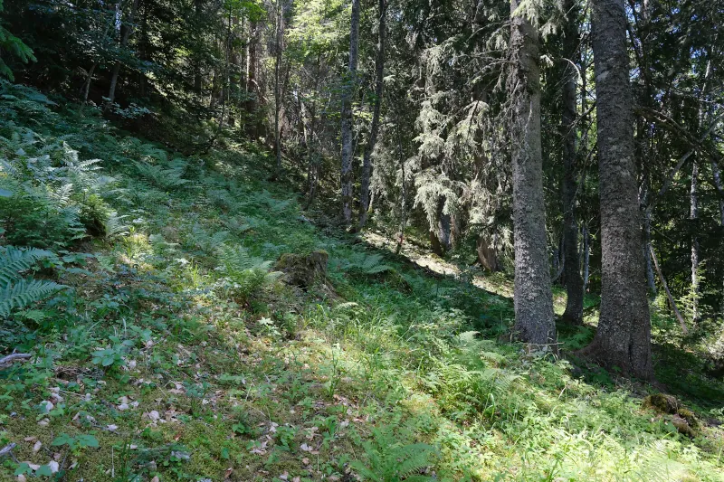
▲ At the end of the road (it doesn’t go to the summit), I walked in the forest towards the cliff.
▲ View from above the cliff : Dent de Cons, Bauges, Faverges.
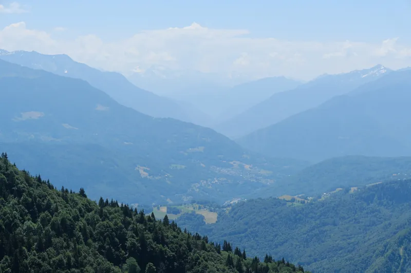
▲ Tarentaise.
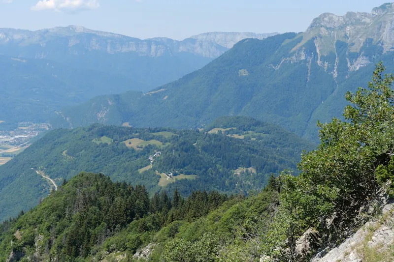
▲ Roc de Nantbellet.
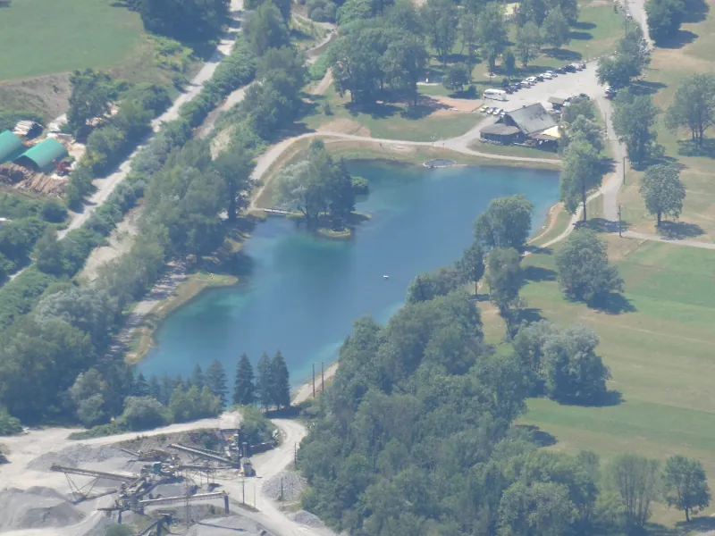
▲ Lac de Marlens.
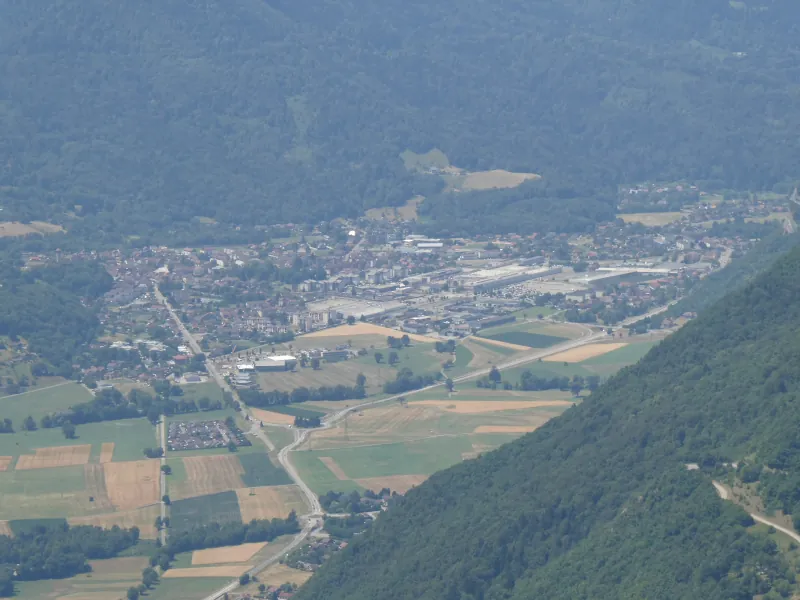
▲ Faverges.
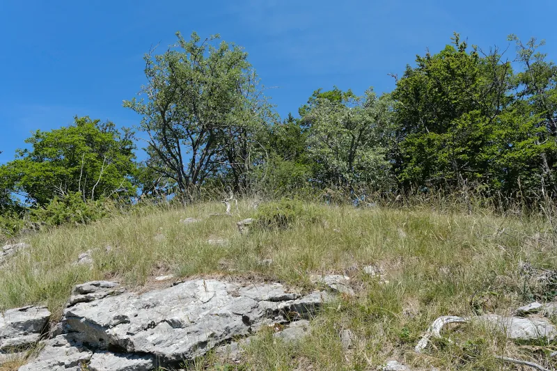
▲ The grass patch with a view.
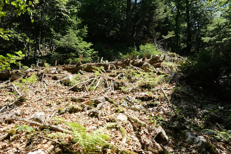
▲ Back in the forest following the ridge to the summit.
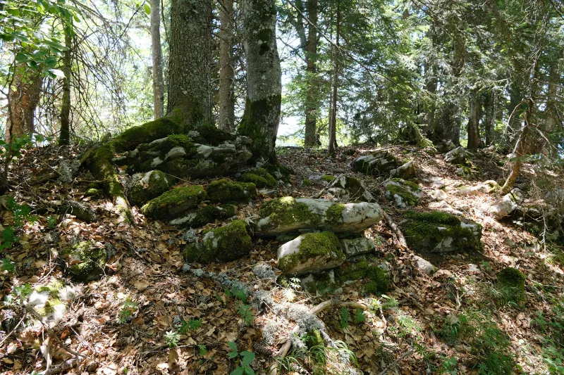
▲ Summit of Mont des Dunes (unmarked).
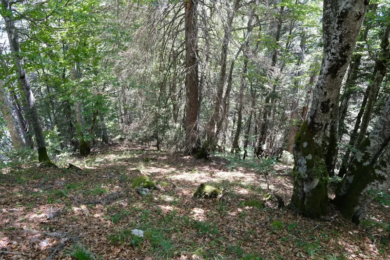
▲ On the way down to Col du Fer.
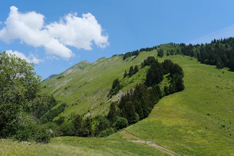
▲ Above Col du Fer.
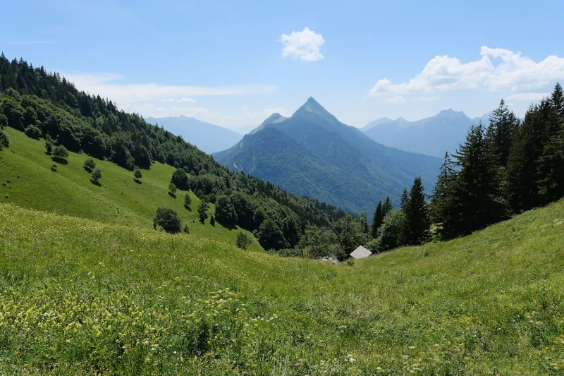
▲ At Col du Fer, looking towards Dent de Cons.
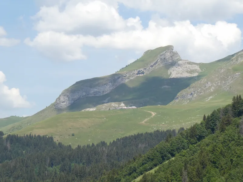
▲ La Tulle.
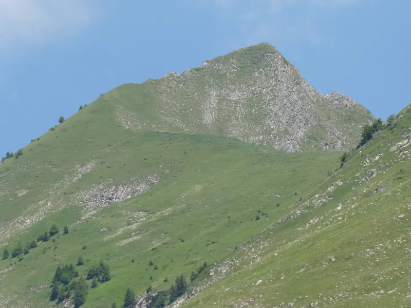
▲ Aiguille du Bouchet. I heard (from a fellow hiker) there was a trail to get there but I haven’t seen any direction or report online.
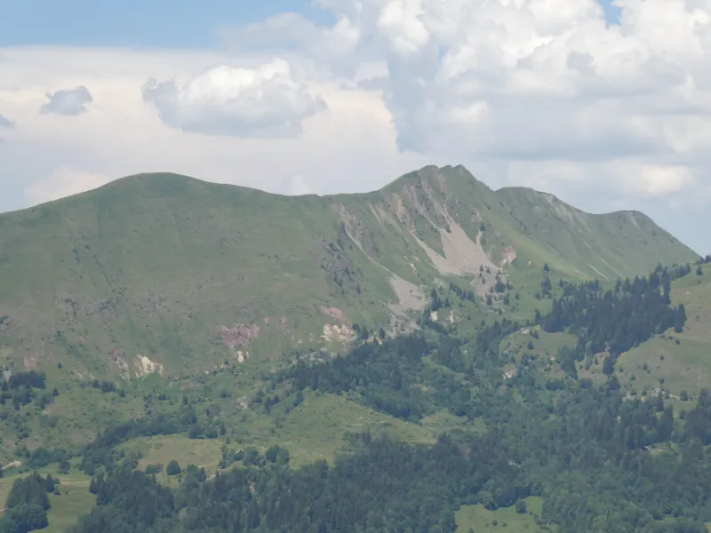
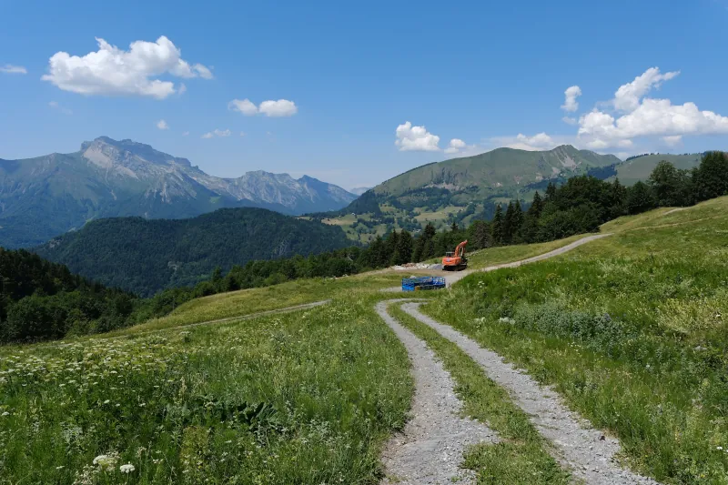
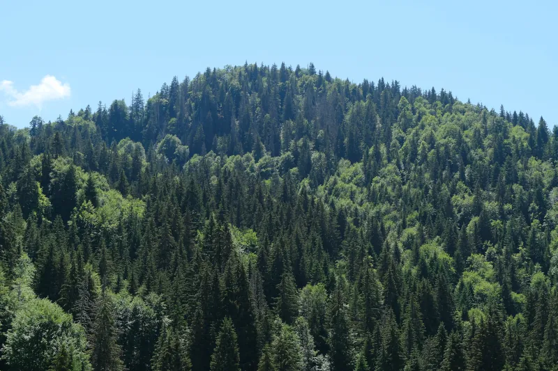
▲ Looking back at Mont des Dunes.
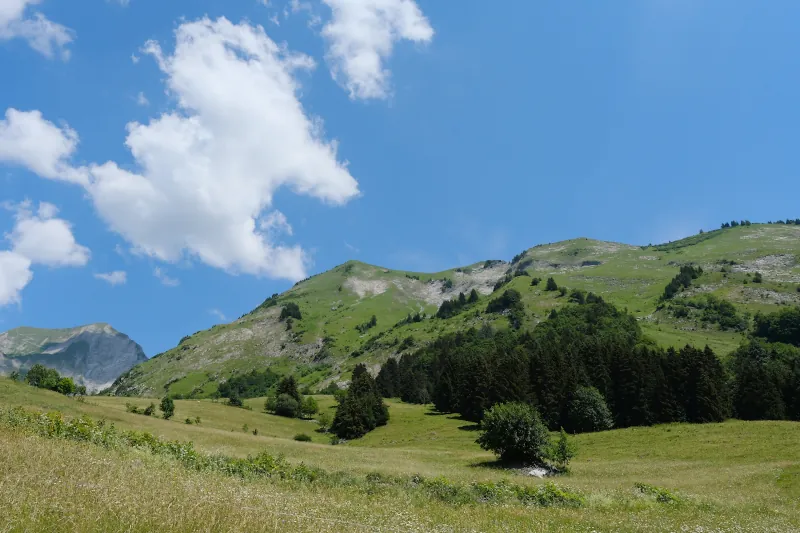
▲ Aiguille du Bouchet.
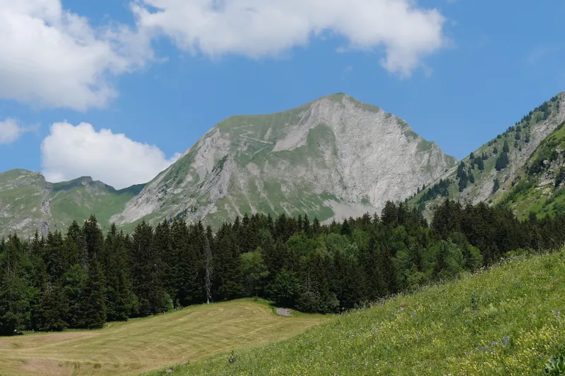
▲ Mont Charvin.
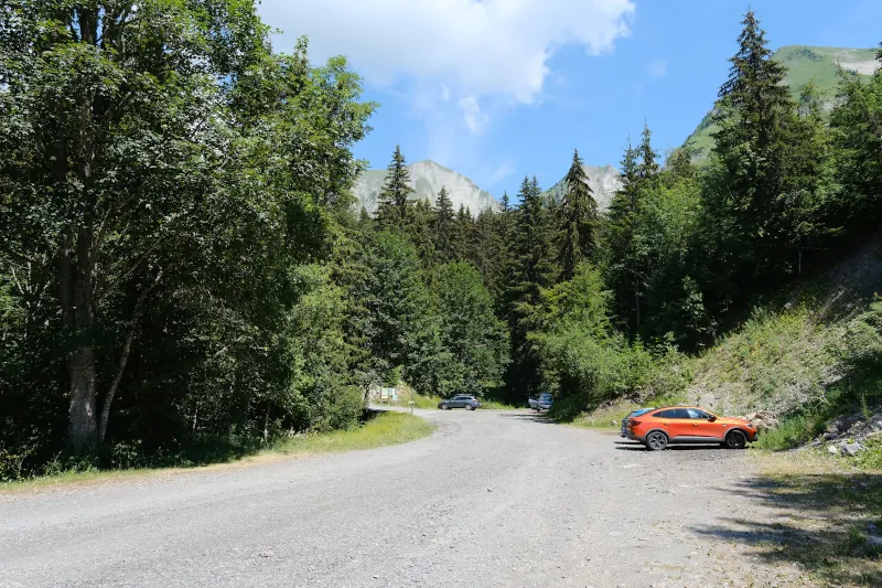
▲ Parking des Chandoches.
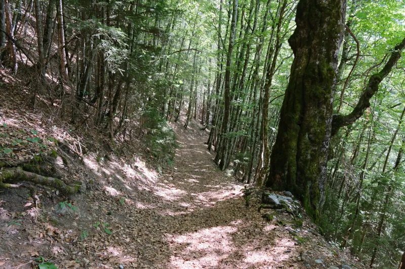
▲ On the way down to Banderelle.
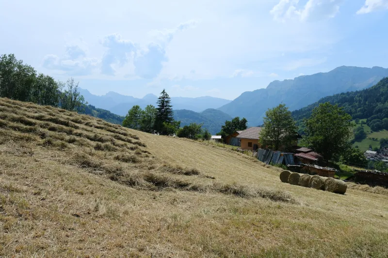
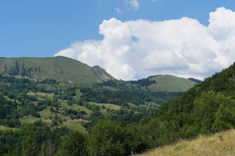
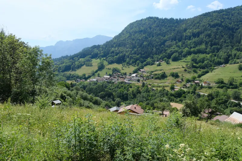
▲ Village of Le Bouchet-Mont-Charvin.
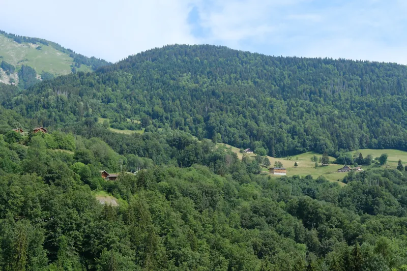
▲ Mont des Dunes.
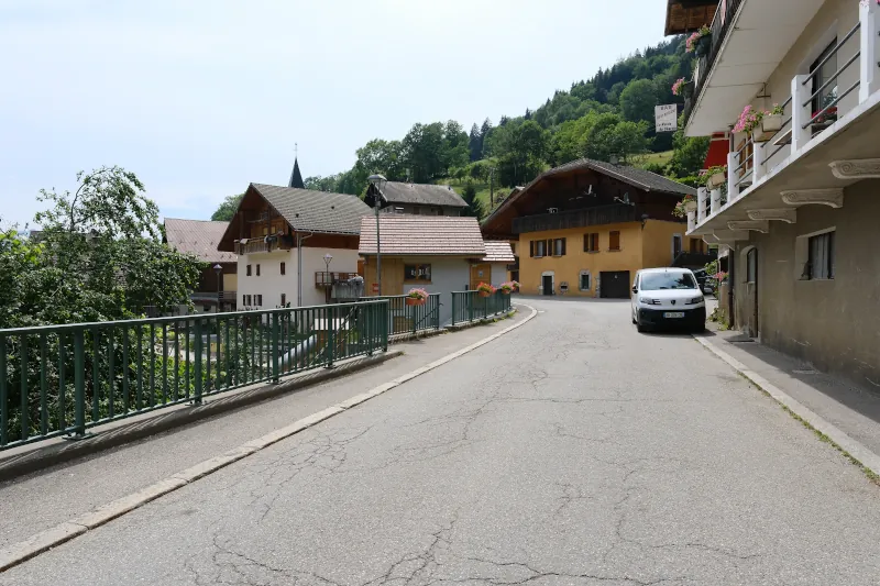
▲ Le Bouchet-Mont-Charvin.
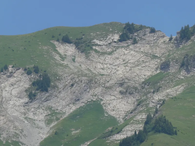
▲ Some rocky area on Aiguille du Bouchet (the trail to the summit may pass through there).
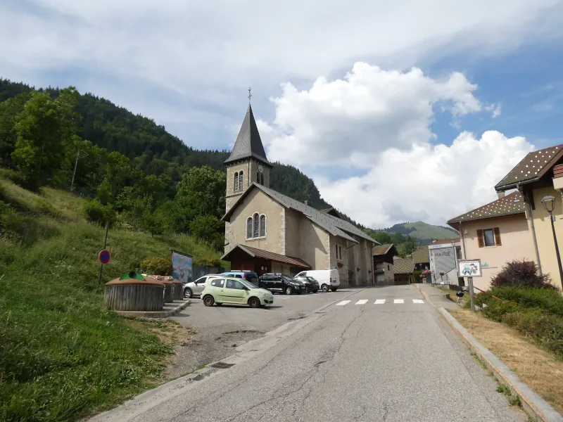
▲ Waiting for the bus to Thônes.