Rainbow circle
Rainbow in the fog at Station du Semnoz.
Rainbow in the fog at Station du Semnoz.
Lac de Roselend and Mont Blanc seen from near Roche Parstire.
I submitted that photo as my shot for this year’s “Your Best Shot 2025” on Flickr. It is nothing special technically but it was one of the best views I had this year. Here are more photos of the hike to Roche Parstire (starting from Lac de Saint-Guérin). That hike was quite easy and offered great views.
Last summer, I went on a hike to Chalet d’Aigue Faru, walking a path from Serraval to Saint-Ferréol. The chalet is in Saint-Ferréol high in the forest below the cliff of Crêt des Mouches. It is marked on the IGN map and I saw a photo album on Flickr by Chalet de l’Arclosan, a local lodge. However, apart from those photos, I couldn’t find a report or hiking directions, including if the IGN map was accurate. Even refuges.info didn’t have any information (I later asked about it and a marker was added but with no further info yet). So I went to have a look.
In the spring of 2024, I went on a hike to Pointe de Puvat, above Plateau des Glières. I started in Les Villards-sur-Thônes and ended up in Morette (Thônes).
In the summer of 2023, I went on a hike to Pointe Noire de Pormenaz. I had tried a few times before to reach the summit, but the paths I chose were not quick enough so I gave up. That summer, there was an early bus from Saint-Gervais so I made another attempt. On the way up, I took an alternate trail that I had scoped out during a previous attempt. On the way down, I walked to the Servoz train station.
Last year, I went on a hike to Pointe des Aravis and Aiguille de Borderan, on the north side of Col des Aravis. I had already been to Pointe des Aravis, starting from the village of La Clusaz. This time, I continued to Aiguille de Borderan.
Some stray cats playing in Montmélian.
I submitted that photo as my shot for “Your Best Shot 2024” on Flickr. It became my most popular photo of 2024!
Last winter, starting from Aillon-le-Jeune, I went on a hike to Mont Céty and Miradou, in the Bauges mountains. I used the winter shuttle serving the Aillons-Margériaz ski resort to get there, but, since there was no snow, it was ideal for hiking.

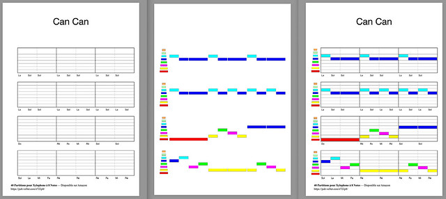
Recently, I had a need to overlay 2 PDFs in Go.
Some background: I had a semi-complex PDF generated off-line with a Python program and I needed to overlay some simple drawing on top, on-demand using some parameters sent from a website. Since I wanted to deploy on Cloud Run (free for my low-traffic app), in order to avoid issues with cold start, I decided to develop the server in Go. The drawing part was simple: I used fpdf, which worked well.
However, I had a bit of trouble to find a way to overlay the generated PDF on top of the complex pre-generated PDF. Also, when I asked Github Copilot, it kept referring me to the Unidoc library, which is not free. At some point, I realized I could simply use pdfcpu and its watermark feature: It supports both images and PDF so it worked for me.
Last summer, I went on a hike to Porte des Aravis, a pass located between Les Parrossaz and Aiguille de Borderan in the Aravis above La Clusaz.