Hike along the Rhône between Pont de Grésin & Pont Carnot

In the spring of 2020, I went on a hike along the Rhône near Fort l’Écluse: I walked between Pont de Grésin and Pont Carnot on both sides of the river in Ain and Haute-Savoie.
In the spring of 2020, I went on a hike along the Rhône near Fort l’Écluse: I walked between Pont de Grésin and Pont Carnot on both sides of the river in Ain and Haute-Savoie.
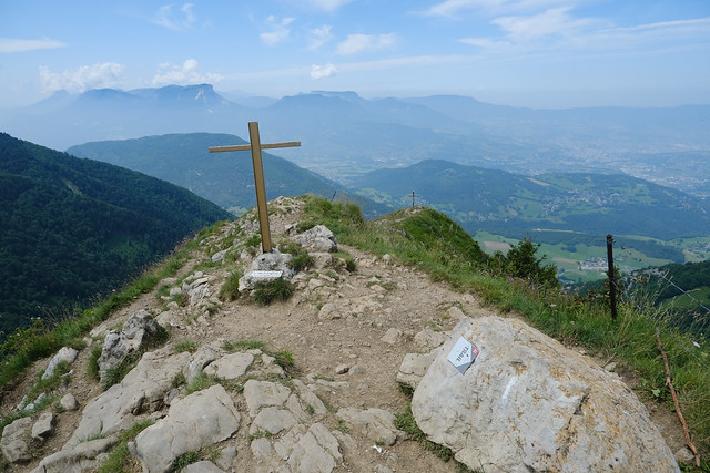
Last summer, I went on a hike to Pointe de la Galoppaz and Pic de la Sauge, in the Bauges mountains not far from Chambéry.
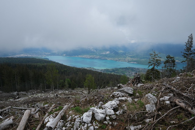
At the end of the spring of 2021, I went on a hike on Semnoz. I walked through 4 bumps at the top of the mountain: Crêt de l’Aigle, Crêt de la Grande Danne, Crêt de Tertère & Crêt de Châtillon.

Last summer, I went on a hike to Grand Mont, above the village of Arêches in the Beaufortain mountains. I had already been in the area, when I walked to Lacs de la Tempête which are located right below Grand Mont.

During winter 2021, I walked from Thônes to Annecy, passing trough Plaine du Fier (on the left bank) and Col des Contrebandiers.
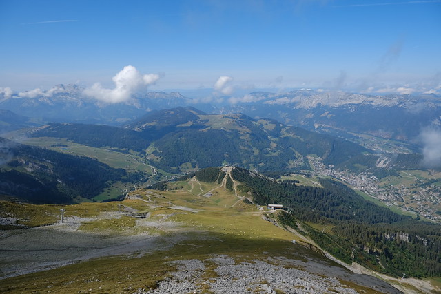
At the end of the summer of 2021, I went on a hike to Aiguille des Calvaires and Combe de Borderan, in the Aravis mountains above La Clusaz.

Last summer, I went on a hike in Le Bouchet-Mont-Charvin near Thônes, walking through 3 passes there: Col de la Botte, Col du Fer and Col de l’Épine.

Last summer, starting from La Clusaz, I went on a hike to Belvédère de Merdassier and Pointe de Merdassier, above Col des Aravis.
Here is a map of all the hike reports around Annecy featured on this blog:
There are also some simple city walks and a few bike routes. It is possible to click on the marker and a link to the corresponding blog page will be shown on the left. In the future, I will try to add hikes to it whenever I make a new post. I have also added a link on the right side of the blog.
