Walk in Chambéry

Chambéry is a city in Savoie, France, located 10km south of Lac du Bourget. It is the former capital of the duchy of Savoy.
Chambéry is a city in Savoie, France, located 10km south of Lac du Bourget. It is the former capital of the duchy of Savoy.

After getting back to Aix-les-Bains from Mont Revard, I took my bike on the Voie Verte du Lac du Bourget, a bike lane (actually shared with roller skaters and pedestrians) next to the lake. Lac du Bourget is the biggest lake in France and the bike lane only goes along a small part of its shore. When I arrived at Bourget-du-Lac at the southern shore of the lake, I took the Avenue Verte Nord de Chambéry, which is another separate bike lane that goes all the way to Chambéry.

After the hike to Croix du Nivolet, I made a stop at the nearby Belvédère du Mont Revard. It is a viewpoint that provides a great view on the Lac du Bourget below and the surrounding mountains. I then took my bike down the mountain back to Aix-les-Bains.

The Croix du Nivolet is a giant christian cross (22 meters high) at the summit of the Dent du Nivolet, in the Bauges Massif. Its size and location make it highly visible from Chambéry and the surrounding towns. It offers a great view on the valley below, as well as the Lac du Bourget. The path to get there is pretty easy (although sometimes muddy) and is therefore very popular. This itinerary was the inspiration for the path I followed.

A few weeks after my hike to Pointe de Tardevant, I came back to La Clusaz to walk another 2 of the 5 Combes des Aravis: Combe de Bella Cha and Combe du Grand Crêt. On the way, I also reached the summit of Tête Pelouse, between the two combes, as well as the Trou de la Mouche (Flyhole), an arch formed by rocks, located between the Combe du Grand Crêt and Combe de Paccaly. Unfortunately, there was a lot of fog at the higher altitudes so there was not much of a view… Here is a description of an itinerary similar to the one I followed.
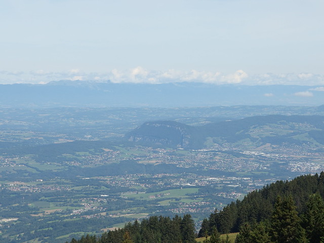
The Mandallaz is a small mountain located at the north-west of Lac d’Annecy, between Annecy and Geneva. This page has an itinerary (although not the one that I followed) that starts in the village of Balme de Sillingy. It gives a good view of the fault mirror at the base of the mountain.

After looking at the Lac d’Annecy from all angles from the surrounding mountains or the shore, I decided to go on a cruise. I went for the 2 hour cruise, which goes to all the way to Doussard, at the south of the lake, and back. It makes a few stops on the way so it is possible to hop off and on later, but I just stayed on board for the whole loop.

The Chalets de l’Eau Froide are huts in the Bauges mountains. They are rumoured to have one of the best views on the Lac d’Annecy from the southern direction. However, there was a thick fog when I arrived there so I could not verify it… I basically followed these directions, with the map here (except at the end, where I continued a bit further).

The Dent du Chat (Cat’s Tooth) is a peak on the south-west side of Lac du Bourget, near Chambéry (Savoie). It has a great view on the lake. I mostly followed those instructions but, after the Dent, I continued to Molard Noir and the Relais TV du Mont du Chat before looping back to Bourdeau.

During the summer, I went to Paris for 1 day. I just walked around, starting at Gare de Lyon. The city was as grimy as ever, although the sun showed up in the afternoon.