Hike to Taillefer & Montagne d'Entrevernes

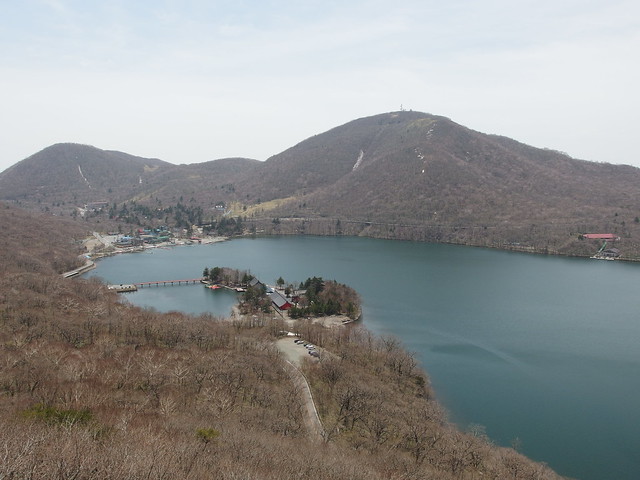
The Taillefer (in the foreground on the photo above, taken from the Ermitage de Saint-Germain) and the Montagne d’Entrevernes (background) are mountains in the Bauges Massif, on the western shore of Lac d’Annecy. This page details an itinerary similar to the one that I followed (except that, at Col de la Cochette, I stayed on the ridge instead of going down on the other side).