Hike to Col de Tamié: From Faverges to Albertville

In the fall of last year, I went on a hike from Faverges to Albertville through Col de Tamié.
In the fall of last year, I went on a hike from Faverges to Albertville through Col de Tamié.

In the fall of last year, I went on a hike along the Fier river in Thônes: I walked upstream from Pont de Morette to Pont Romain des Clefs.

The railway line from Annecy to Albertville started operating in 1901 and closed to passenger traffic in 1938. Freight traffic kept running until 1964 when it shut down for good. In 1975, parts of the line on the west side of Lake Annecy were converted into a bike path: The Voie Verte du Lac d’Annecy. More of the line (until Ugine, near Albertville) was converted later in 2005. However, some of the rails in Annecy, west of the train station until a bit before Tunnel de la Puya (under the Semnoz), still remain. There is also a section of abandoned tracks in the Zone Industrielle de Vovray that used to be connected to the old Annecy-Albertville line.
I walked alongside those train tracks last fall: First, I walked from the train station to the ends of the train tracks in Vovray. Some parts were fenced off so I had to walk around. Some other time, I went back to the place where the line branched off towards Albertville and followed its course until Tunnel de la Puya, which was walled off. I walked on the Semnoz to get to the other side, in Sevrier. The exit of the tunnel was still open. I walked a little in the tunnel from there, but it was pretty dark so I didn’t go very far.
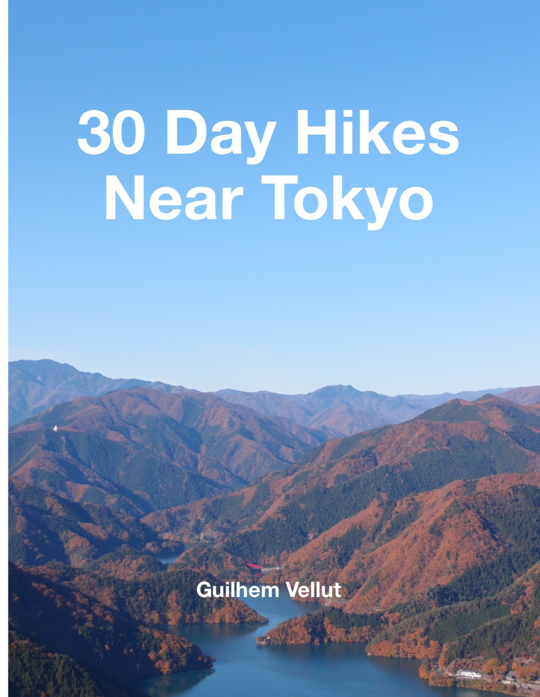
I published a new book last month. It is available on Amazon as a paperback and is called: 30 Day Hikes Near Tokyo.
Here is a sample PDF with a few hikes: Sample PDF. You can also go to the companion web page for the book, where you will find GPS tracks for the hikes, as well as links to additional photos and public transport directions.

Last fall, I walked from Poisy to Cran-Gevrier near Annecy, passing through Gorges du Fier, Parc Altaïs, Parcours Nature Fier et Erbe and Cercle de l’Eau.

Last fall, I went on a hike to Crêt de la Dame, a small mountain near Pont de la Caille.

My new book is out and is available on Amazon! It was self-published through Amazon KDP and is called: 25 randonnées autour du Lac d’Annecy - Accessibles en transport en commun (25 hikes around Lake Annecy - Accessible with public transport). I finally received a proof copy yesterday (it took a while…) and I am pretty satisfied with how it came out.
Here is a sample PDF with a few hikes: Sample PDF. Also check out the companion web page for the book, with GPS tracks for download, as well as links to additional photos and alternate routes for the hikes.

Last fall, I went on a walk around Tête de la Cicle, in the Beaufortain mountains near Mont Blanc: I started at Col du Joly and walked through Col de la Cicle and Col de la Fenêtre, two passes on opposite sides of Tête de la Cicle.

Last fall, I went on a walk along the Arve river, from Annemasse (Haute-Savoie) to La Jonction in Geneva.
