Hike to Chalet d'Aigue Faru
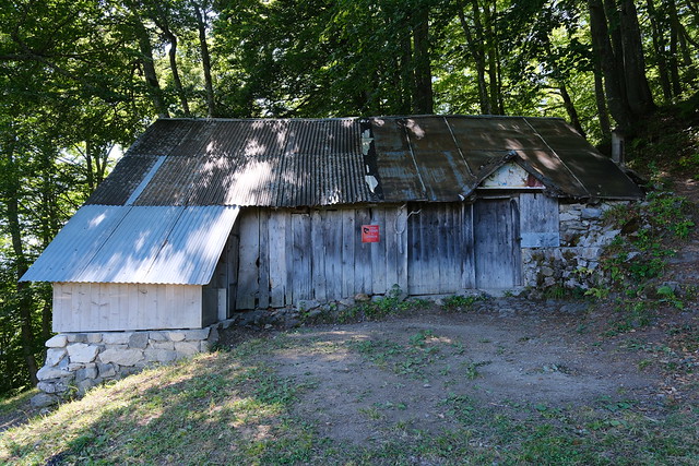
Last summer, I went on a hike to Chalet d’Aigue Faru, walking a path from Serraval to Saint-Ferréol. The chalet is in Saint-Ferréol high in the forest below the cliff of Crêt des Mouches. It is marked on the IGN map and I saw a photo album on Flickr by Chalet de l’Arclosan, a local lodge. However, apart from those photos, I couldn’t find a report or hiking directions, including if the IGN map was accurate. Even refuges.info didn’t have any information (I later asked about it and a marker was added but with no further info yet). So I went to have a look.
Here is a map of the path I walked:
- Download path KML
- Download large map
- More photos on Flickr
- Day of the hike: August 20, 2025
What about the name? It is the name of the area around the chalet (according to the cadastral map), as well as a stream that flows into Ruisseau du Lachat. Not sure about Faru, but Aigue may be related to water (like in Aiguebelle). It would make sense since there are 2 water sources near the chalet.
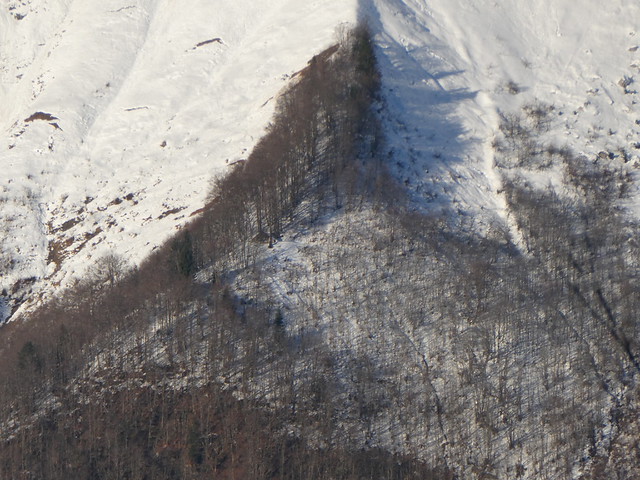
I had also seen the chalet while doing other trails in the area. For example, from Le Bouchet-Mont-Charvin in winter:
In the morning, I went to Thônes by Car Région bus (line Y62). I then boarded an Aravis Bus summer shuttle (line V) and got off at Serraval. There, I visited the local church (Église Saint-Maurice) while waiting for sunrise. I then headed towards the hamlet of La Sauffaz, passed through Mont Déson and Leschaux, then crossed Ruisseau du Lachat and Ruisseau de la Grande Sennaz. I had already walked that path in the reverse direction when I had been to Cascade de Fontany and Le Sapey a few years ago (no post but here are some photos). Finally, I arrived at the start of the trail to Chalet d’Aigue Faru as marked on the IGN map.
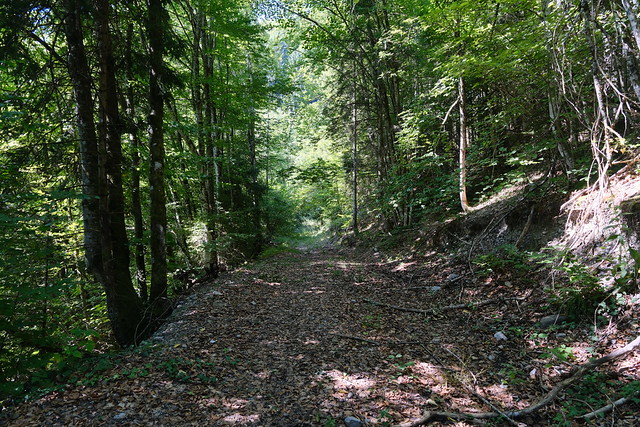
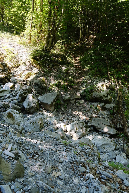
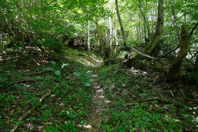
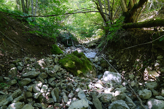
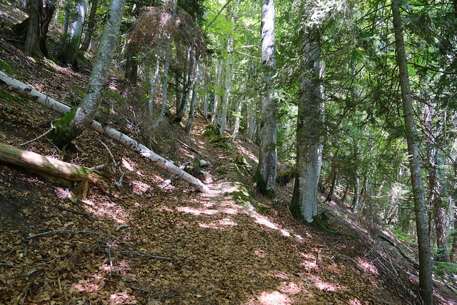
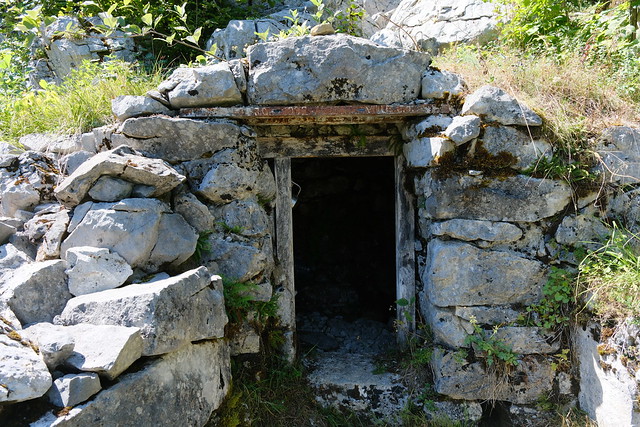
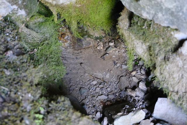
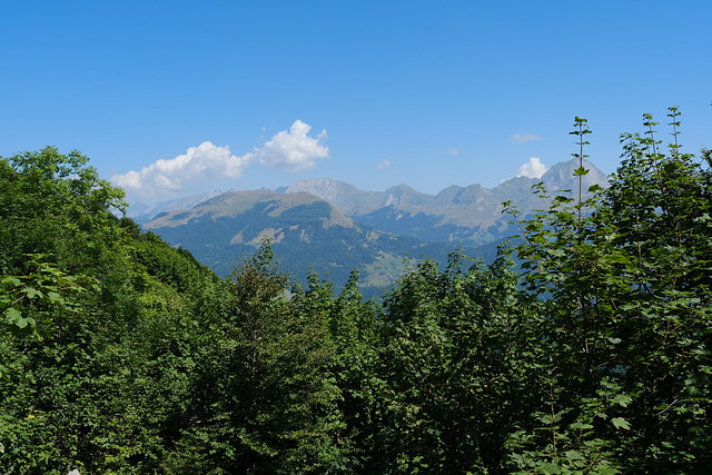
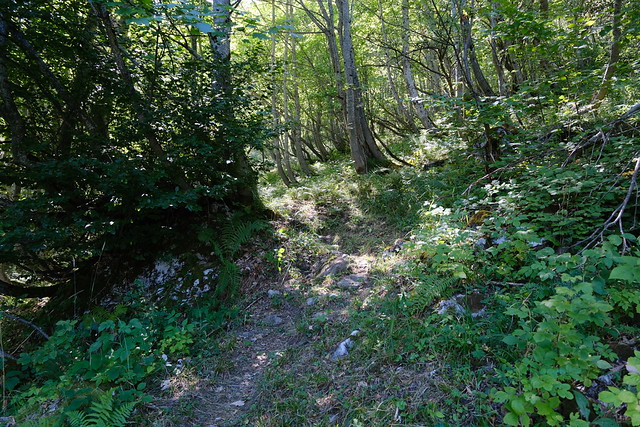
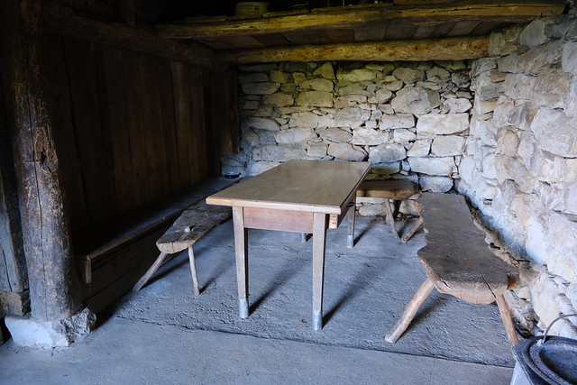
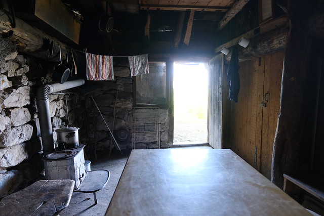
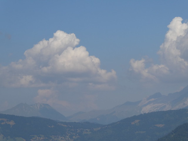
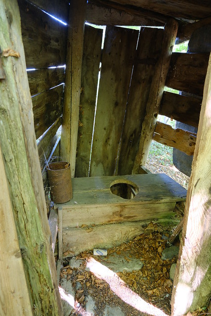
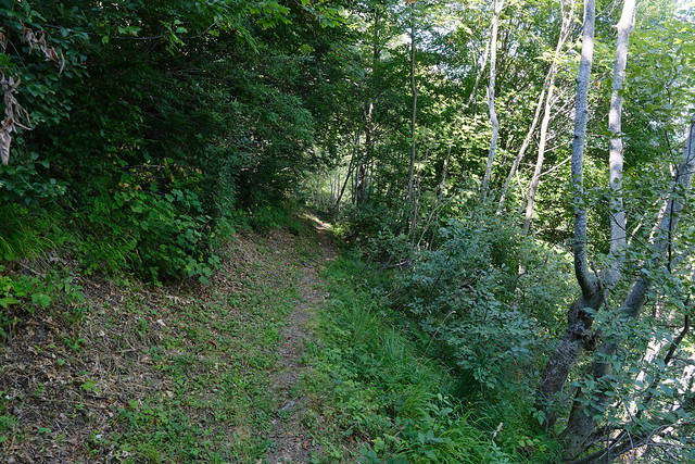
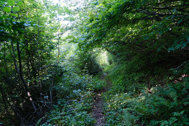
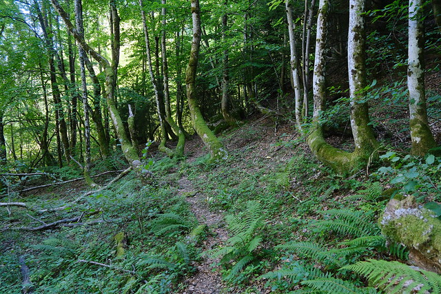
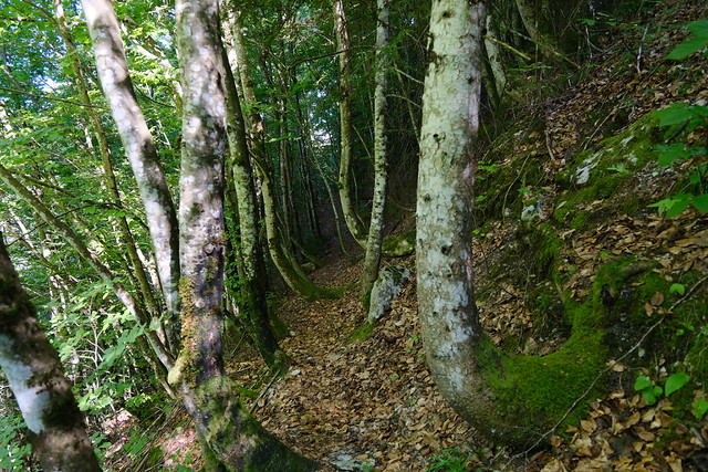
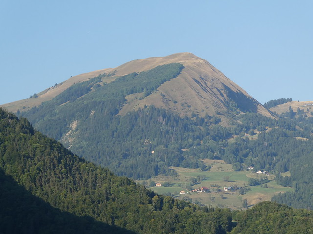
I started on the way up. The trail in the forest was not the most traveled but was still fairly visible. I had to cross a couple of torrents but they were completely dry (it had not rained for a while). At some point, it became steeper and passed trough slightly overgrown grass. At the end of this section, I arrived at a first water source inside a shelter. Despite the drought, it was still flowing (a little). I walked the last part and arrived at the chalet. There was a great view from there on Montagne de Sulens, Mont Charvin and the rest of the Aravis mountains. The chalet was closed with a simple latch so I went inside. However, I don’t know if it is actually made available to everyone for sleeping. There was a table and a wood-fired stove. I walked around: There was an open-pit toilet inside a small building, as well as a small trail to a view on the mountains above.
I ate lunch then started on the way down taking the same trail. Not far from the chalet, I saw another source (not flowing though) and a small trail that went to a rockfall area below Crêt des Mouches. I still had a long way to go to the bus in Saint-Ferréol so I didn’t explore further. Way down, I took a fork (it differed from what was on the IGN map) and had to cross Ruisseau de la Grande Sennaz again to arrive at a dirt road. It led to the hamlet of Les Combes. I walked the paved and dirt roads to get to Saint-Ferréol. On the way, the sun passed behind Rocher d’Arclosan. I also made a quick stop at Cascade de Fontany, which was still flowing impressively. At Saint-Ferréol, I waited of the Y51 Car Région bus to Annecy.
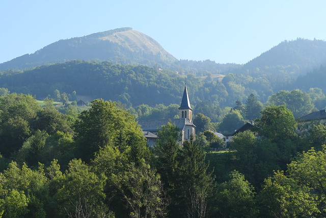
▲ Église Saint-Maurice in Serraval.
▲ Inside the church. It was closed but the owner of the village grocery store was passing by and told me she had the key.
▲ Towards la Tournette. Aiguille de Serraval is on the right: I climbed it last year (photos).
▲ Sunrise.
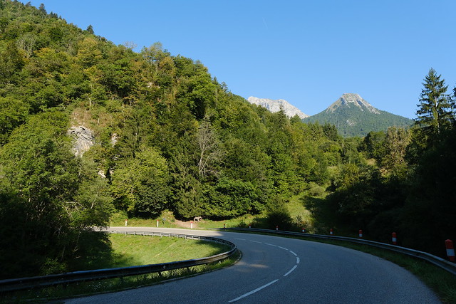
▲ Small trail to bypass part of the twisting road towards la Sauffaz.
▲ Waking on the side of the road for a few minutes.
▲ A couple of donkeys.
▲ Église Saint-Maurice.
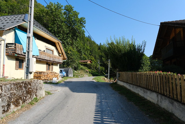
▲ At La Sauffaz, a hamlet of Serraval.
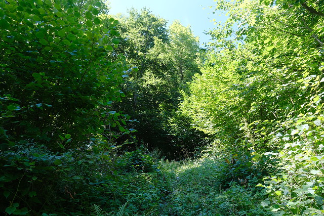
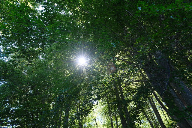
▲ The forest of Attrape-qui-Peut.
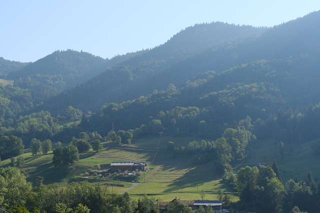
▲ Les Estérons below Crêt des Mouches.
▲ Lodge at Mont Dézon.
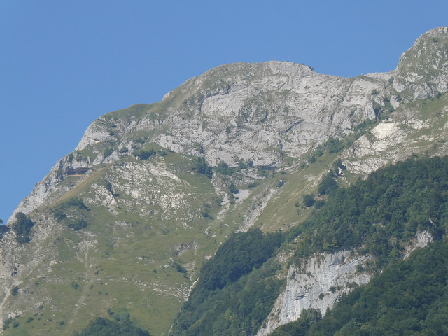
▲ Pointe de Chauriande. The trail to Crêt des Mouches passes below.
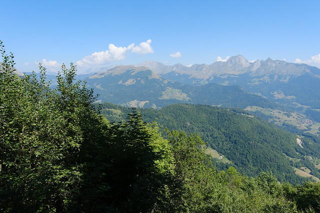
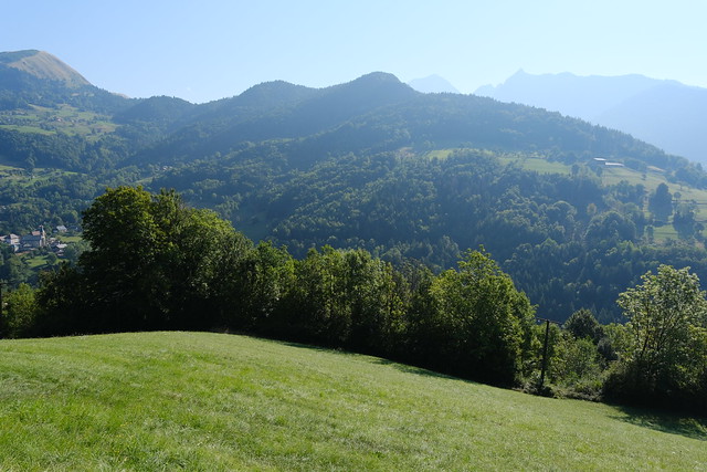
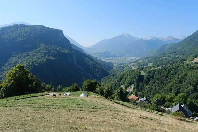
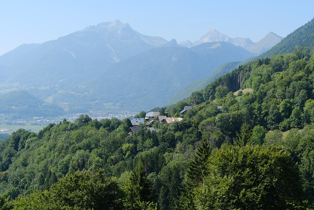
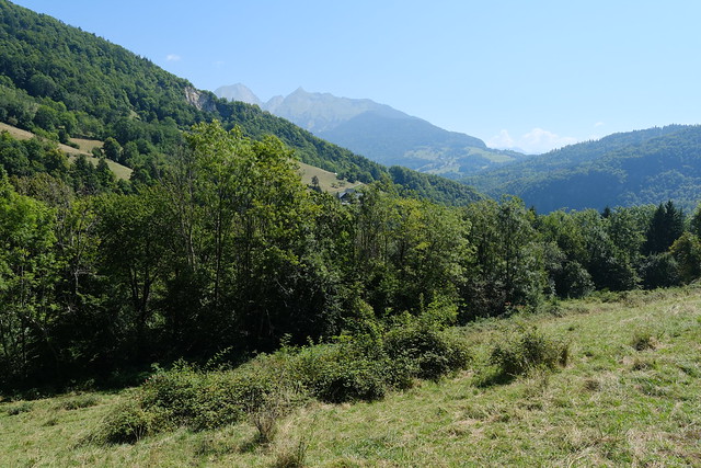
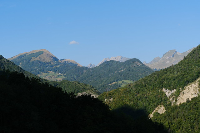
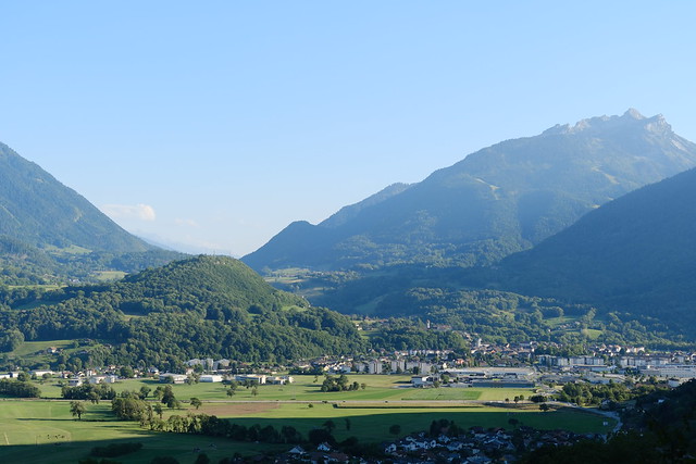
▲ View towards Faverges and the Bauges mountains.
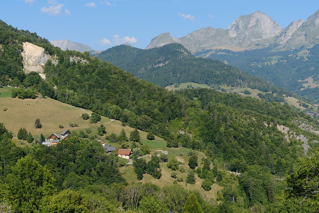
▲ The visible hole in the forest is where Chalet d’Aigue Faru is located.
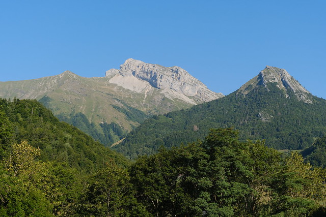
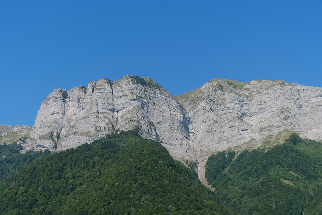
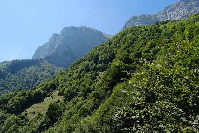
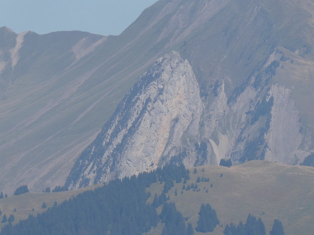
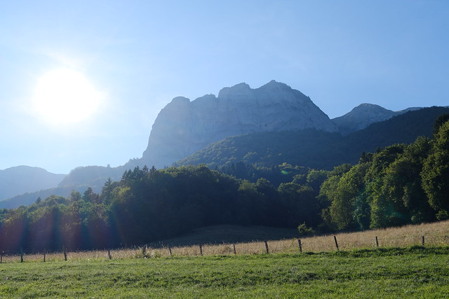
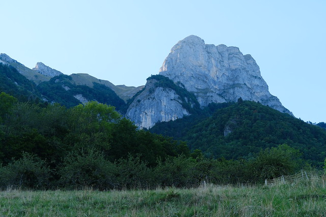
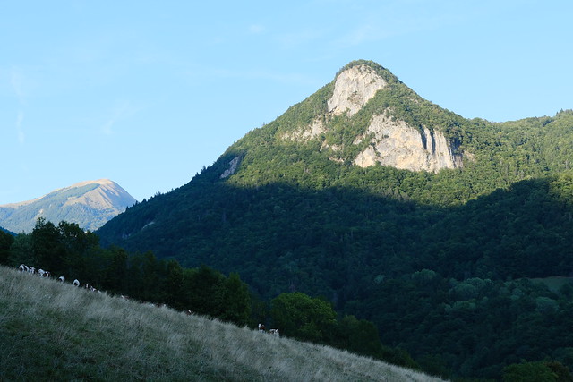
▲ Rochers d’Arclosan and Crêt des Mouches. Chalet d’Aigue Faru is on the right of the rocky torrent bed and above the visible clearings.
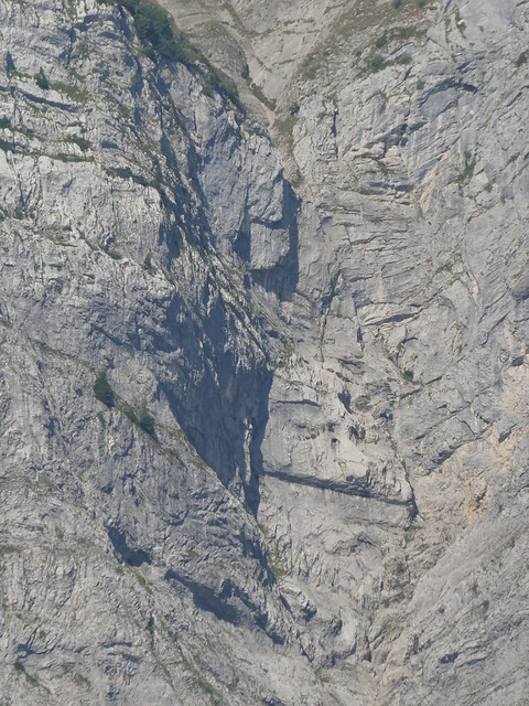
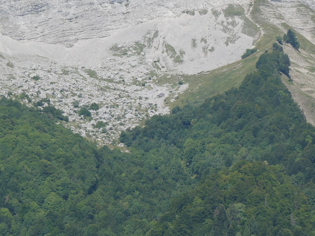
▲ That rock fall area is next to Chalet d’Aigue Faru. I just went to have a look at it but didn’t have time to explore.
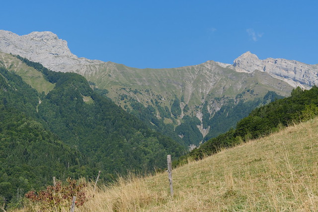
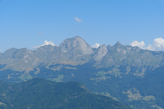
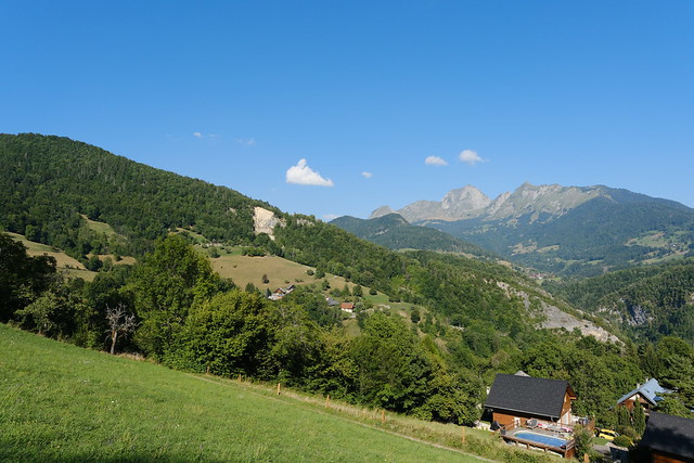
▲ Pointe de la Beccaz, Pointe des Frêtes du Lars and Rocher de Charvin. La Tournette is behind.
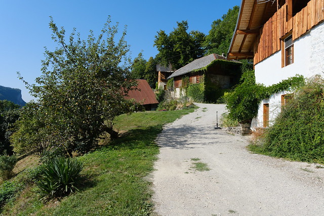
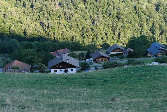
▲ Hamlet of Les Combes in Saint-Ferréol.
▲ Passage from the hamlet of Leschaux to the river. After this, it had a barely passable section across a scree so it may be better to take the dirt road instead.
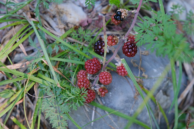
▲ Blackberries, back on the dirt road. Around here, I tried to explore some trails that were on OSM but I am not sure they had been traveled (possibly just traced from the cadastre): The vegetation was really overgrown and I gave up quickly. However, I saw afterwards a dirt road going in the same direction so it would be worth exploring further.
▲ Crossing Ruisseau du Lachat. There is a handmade bridge (a tree trunk) to get across but there was not much water when I was there.
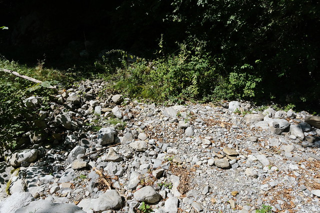
▲ Dry Ruisseau de la Grande Sennaz. It is an affluent of Ruisseau du Lachat.
▲ Pasture next to the beginning of the trail to Chalet d’Aigue Faru (a slight detour).
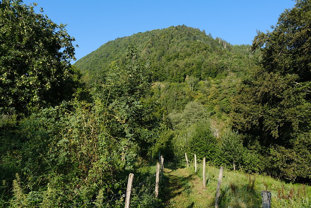
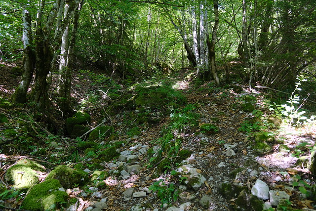
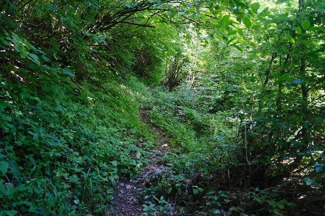
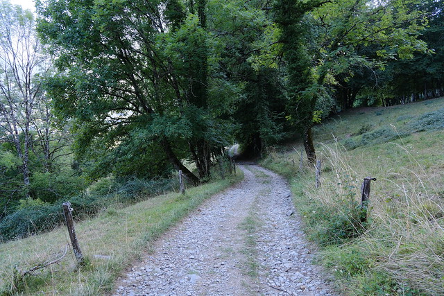
▲ Small trail towards Chalet d’Aigue Faru.
▲ Fording the dry Ruisseau de la Grande Sennaz again.
▲ Another dry torrent (Ruisseau du Dardet).
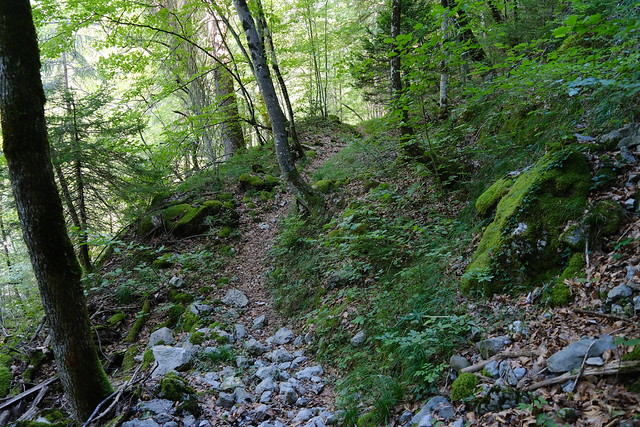
▲ The trail was more visible.
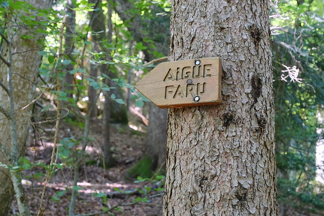
▲ A guidepost. There is another path branching from there.
▲ View towards Rocher d’Arclosan.
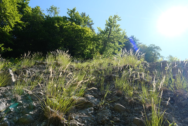
▲ The trail became steeper and was slightly covered with overgrown grass at times.
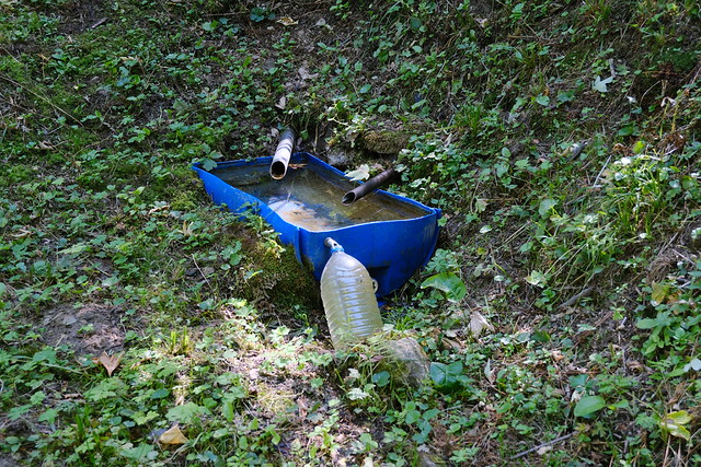
▲ Arriving at a source protected inside a shelter.
▲ It had not rained in a long time but the source was still running (slightly).
▲ View from the source on the mountains above.
▲ Aravis.
▲ Last part.
▲ Chalet d’Aigue Faru.
▲ Inside.
▲ There is another room behind that door on the right. It has wood, dry straw and additional toilet paper.
▲ View from the chalet.
▲ Across Col de la Croix Fry.
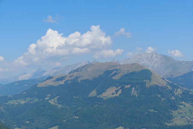
▲ Mont Charvin.
▲ Aravis.
▲ Aiguille du Bouchet, the southernmost summit of the Aravis mountains.
▲ I walked around the chalet. Above, the separate toilet building.
▲ There is a small trail behind the chalet to get a view of the mountain above.
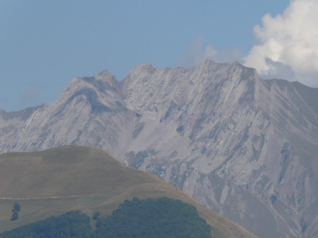
▲ Mont Charvin.
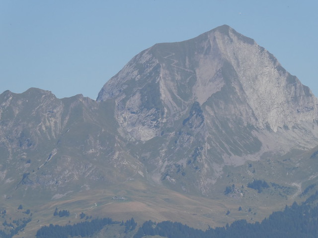
▲ Montagne de Sulens.
▲ Aiguille de Manigod.
▲ L’Étale.
▲ Aiguilles du Mont.
▲ On the way down.
▲ I saw this other source on the side of the path. With the dry weather at the time, it was not running though. There was a small trail leading up from there and I followed it.
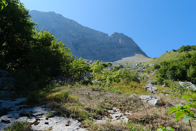
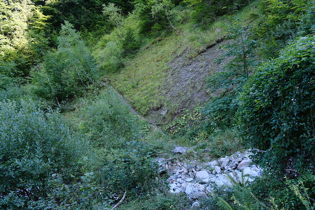
▲ Rockfall area. I didn’t have time to explore it but on the cadastral map, there is a small trail that goes through there, passes below Pointe de la Beccaz to Le Solerand and goes down towards Ruisseau du Lachat. Not sure it is very safe though (I haven’t seen a report about it anywhere).
▲ Same path on the way down.
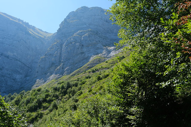
▲ Crêt des Mouches above.
▲ I took a fork after fording Ruisseau du Dardet.
▲ It led to another ford across Ruisseau de la Grande Sennaz.
▲ Narrow.
▲ On a dirt road towards Les Combes.
▲ Attrape-qui-Peut.
▲ Rocher d’Arclosan.
▲ Chapelle des Combes.
▲ Sunset at La Combaz, on the way to Saint-Ferréol.
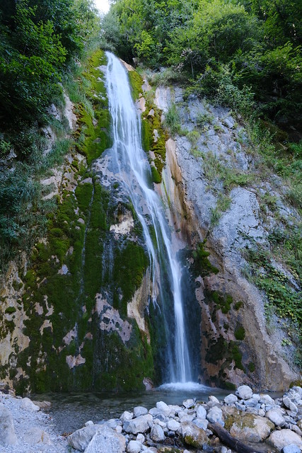
▲ Cascade de Fontany, still flowing fast.
▲ Rocher d’Arclosan.
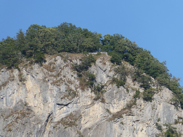
▲ Cross at the summit of Roc de Nantbellet.
▲ Montagne de Sulens.
▲ Faverges, Crêt Chambellon and Pointe de la Sambuy.
▲ Roc de Nanbellet.
▲ Église Saint-Ferréol in Saint-Ferréol.
▲ Bus stop in Saint-Ferréol.
▲ Dent de Cons.
