Hike to Col du Brévent, Pont d'Arlevé & Refuge de Moëde Anterne: From Chamonix to Passy
At the end of summer 2020, I went on a hike near Chamonix: Starting from the upper station of the Planpraz cable car, I walked to Plaine Joux in Passy, passing by Col du Brévent, Pont d’Arlevé and Refuge de Moëde Anterne. I had already been in the area many years ago, when I went to Col d’Anterne.
Here is a map of the path I walked:
- Download path KML
- Download large map
- More photos on Flickr
- Day of the hike: September 18, 2020
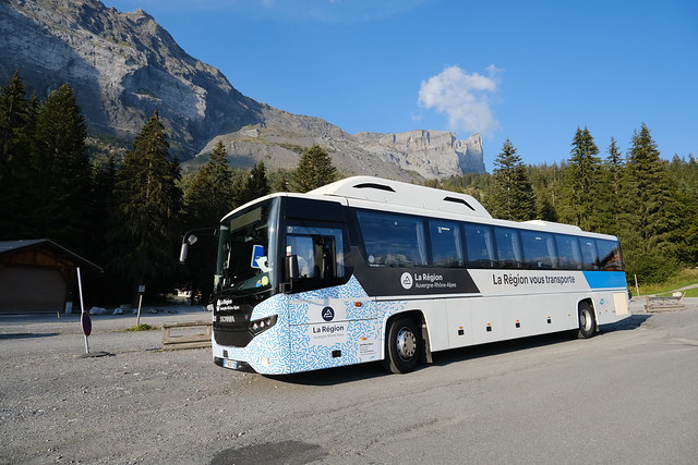
In the morning, I took the train to Chamonix then walked to the lower station of Télécabine de Planpraz. At Planpraz, I started walking up to Col du Brévent. Then, using the GR5 trail, I walked down through Combe d’Arlevé on the way to Pont d’Arlevé. I crossed the Diosaz river using the bridge and went up towards Refuge de Moëde Anterne. Slightly before reaching it, I took a fork and walked up on the beginning of a possible path to Pointe Noire de Pormenaz. However, there was not time to get to the summit so I didn’t go far. Instead, I went down towards Plaine-Joux: I crossed the Souay torrent (which had a very low water level) then walked mostly on the dirt road. At Plaine-Joux, I waited for the bus (Car Région Y85) to the train station of Saint-Gervais-les-Bains-le-Fayet.
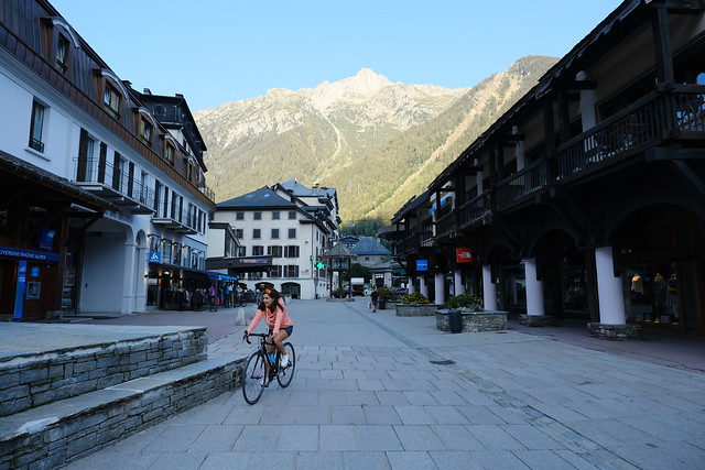
▲ In Chamonix
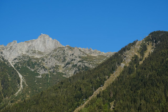
▲ Le Brévent. Télécabine de Planpraz is on the right.
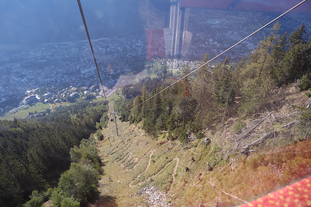
▲ On the gondola.
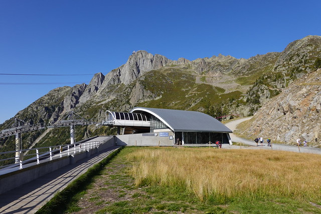
▲ Upper station of Télécabine de Planpraz.
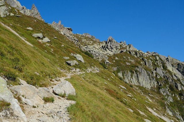
▲ On the way to Col du Brévent.
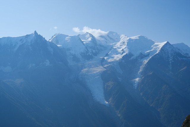
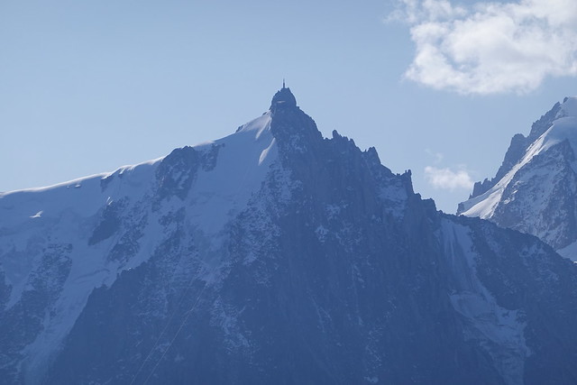
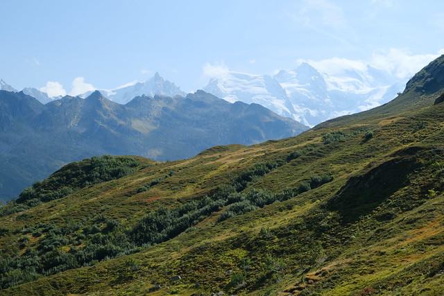
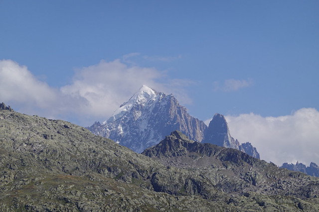
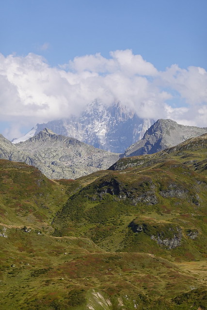
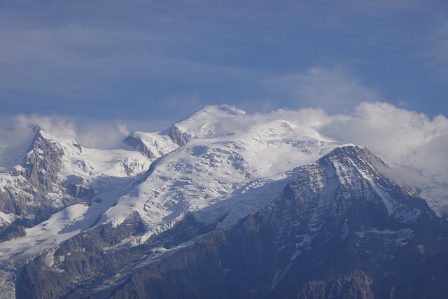
▲ Mont Blanc.
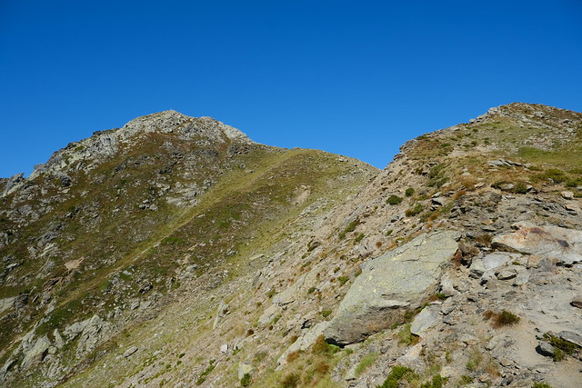
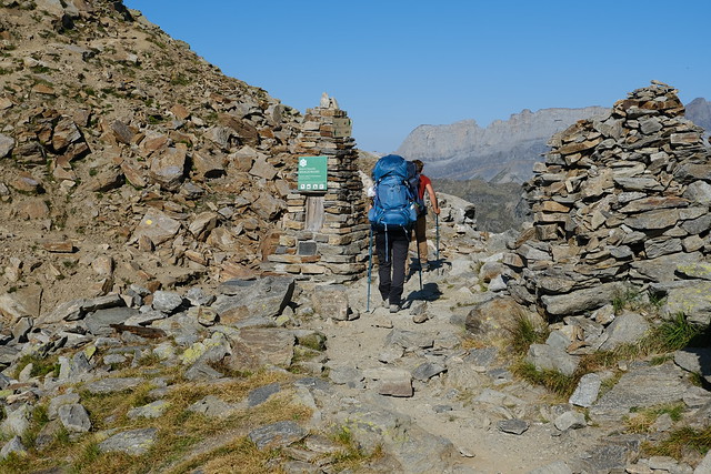
▲ Col du Brévent.
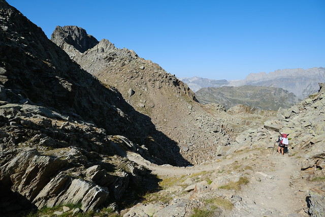
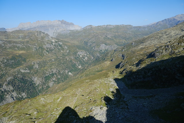
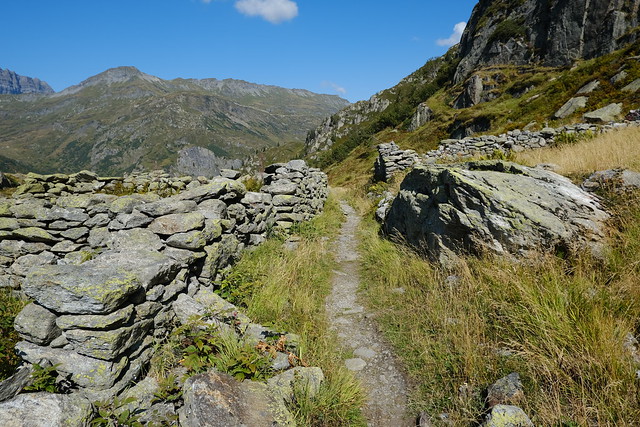
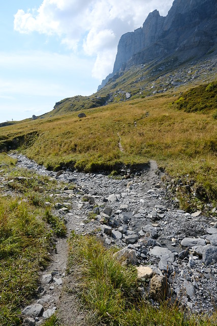
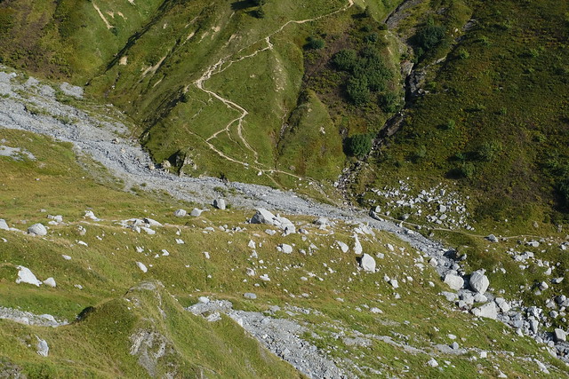
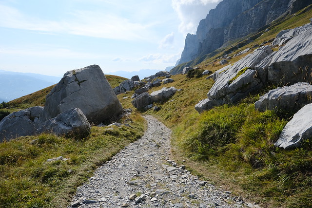
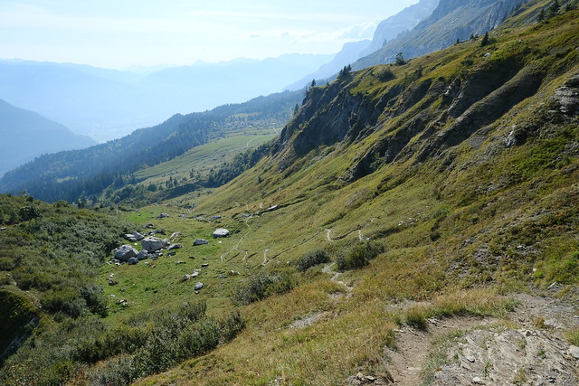
▲ On the GR5 trail to Pont d’Arlevé.
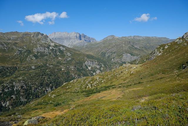
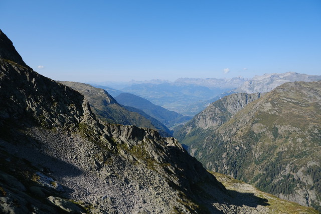
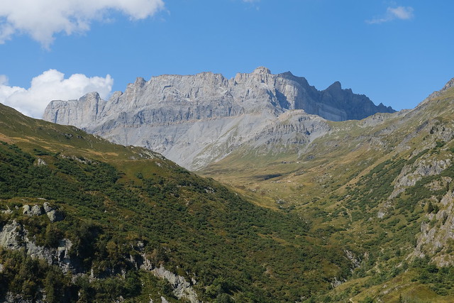
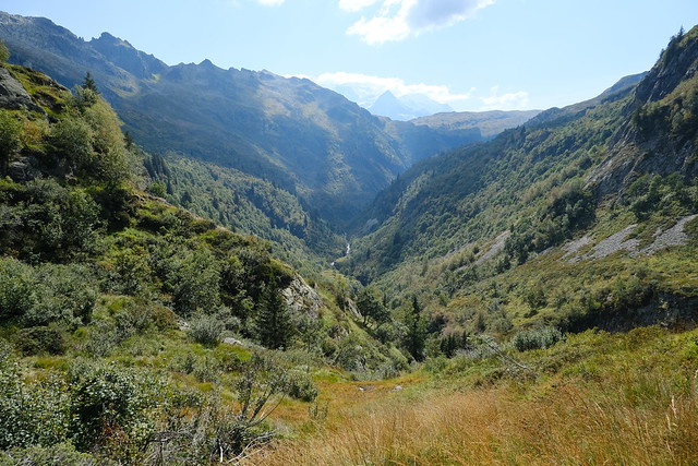
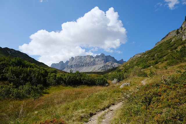
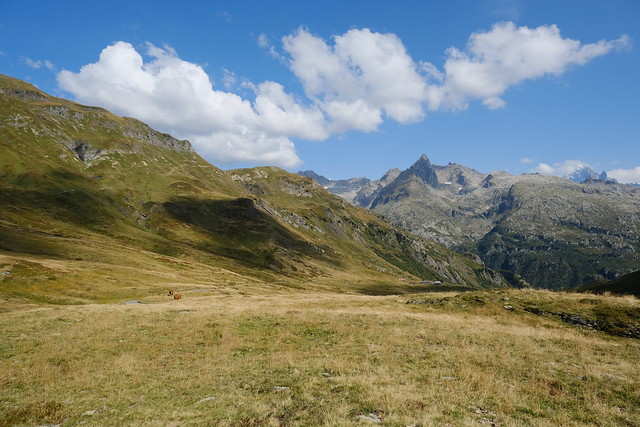
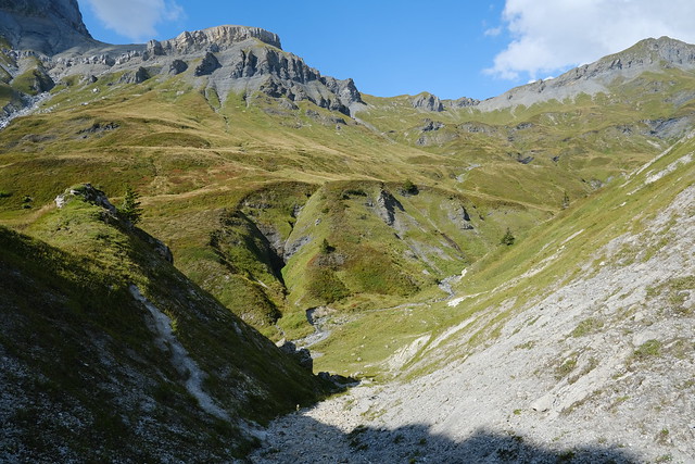
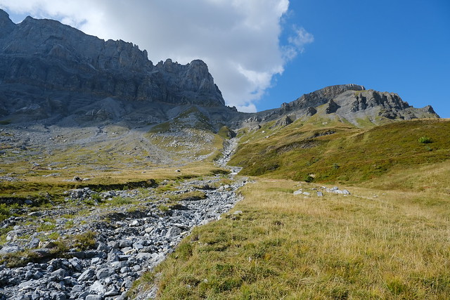
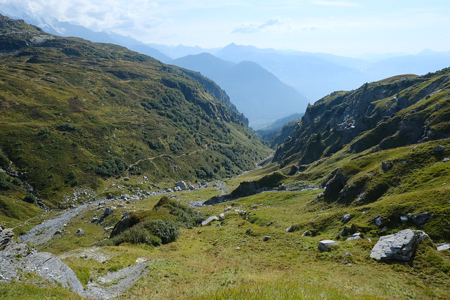
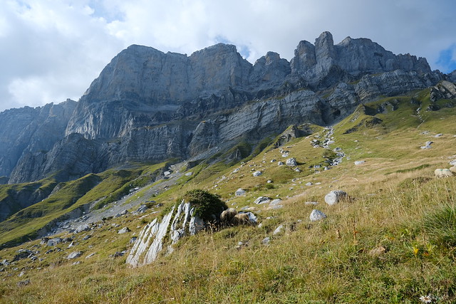
▲ Combe d’Arlevé, with Rochers des Fiz in the background.
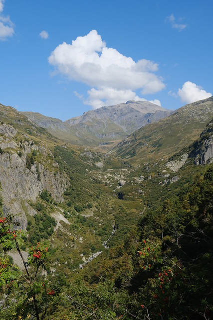
▲ Towards the confluence of Torrent de Moëde and the Diosaz river.
▲ Pointe Percée.
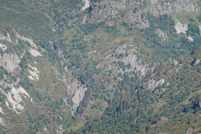
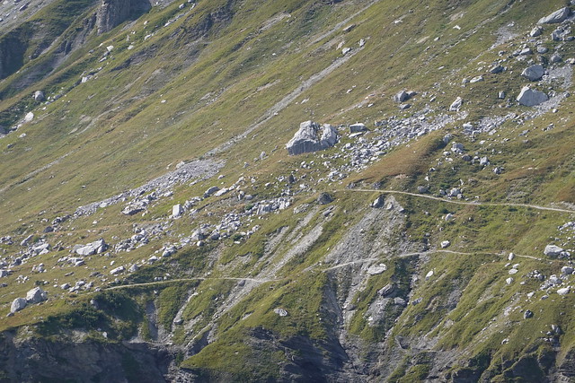
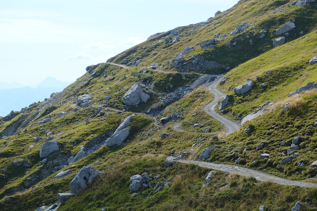
▲ The complex path to Pont d’Arlevé.
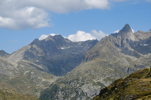
▲ Pointe d’Anterne and Tête à l’Âne.
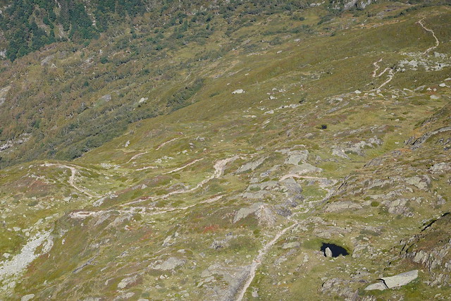
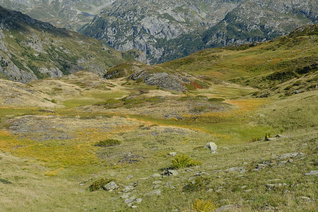
▲ Désert d’Arlevé. There is a path through there to Lac Cornu (off-trail but with cairns): I walked it recently.
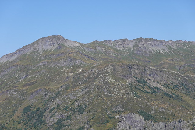
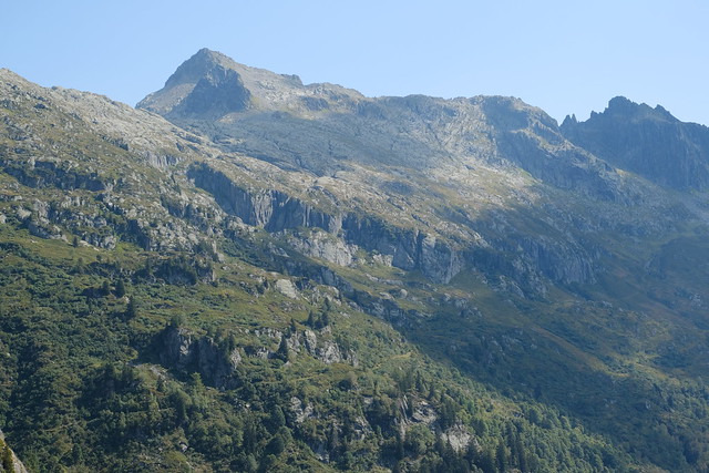
▲ Tête de Moëde.
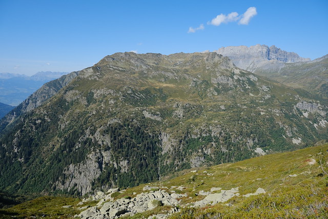
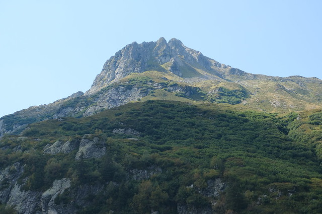
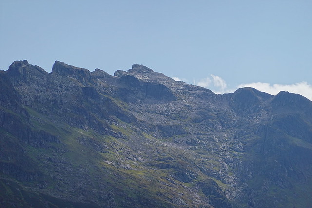
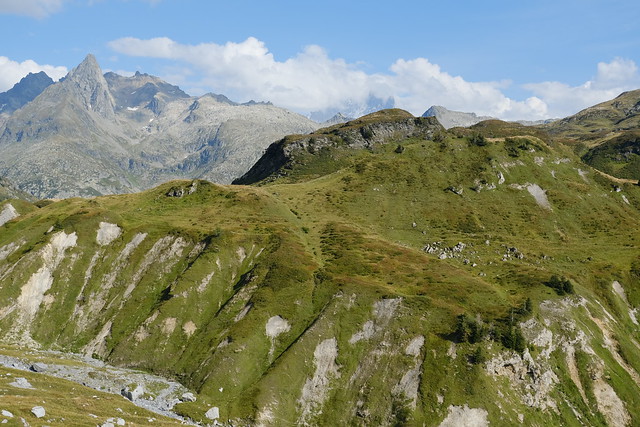
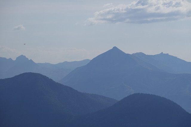
▲ Pointe Noire de Pormenaz on the other side of the Diosaz river.
▲ Réserve naturelle de Carlaveyron.
▲ Ruins of Chalets d’Arlevé.
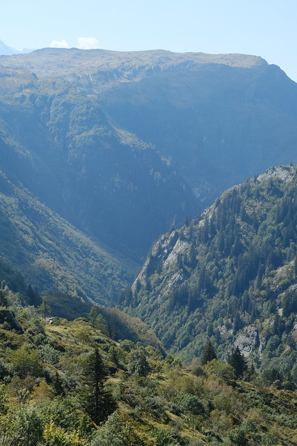
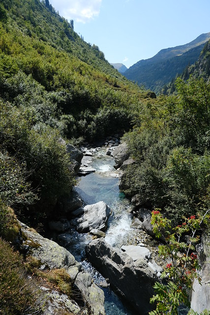
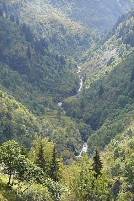
▲ Diosaz canyon.
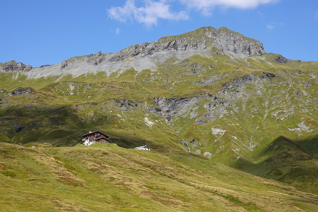
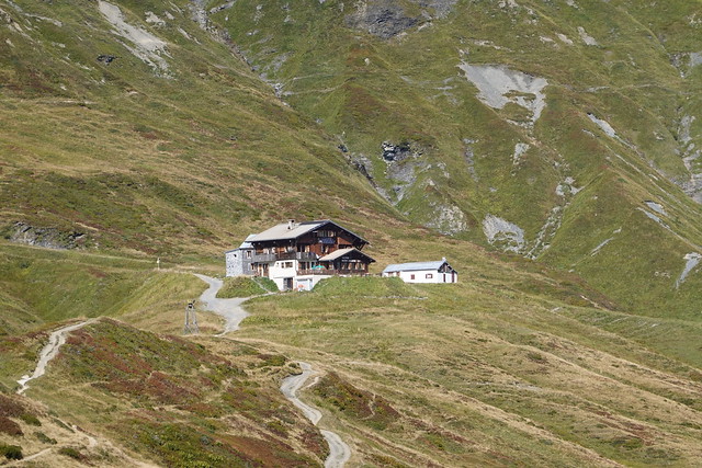
▲ Rochers des Fiz and Refuge de Moëde Anterne.
▲ Diosaz river and Mont Buet in the background.
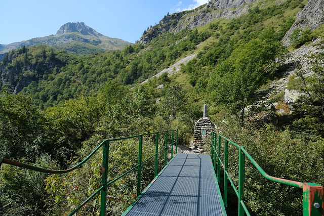
▲ Pont d’Arlevé.
▲ Diosaz river.
▲ Towards Pointe Noire de Pormenaz.
▲ Diosaz canyon.
▲ Le Brévent.
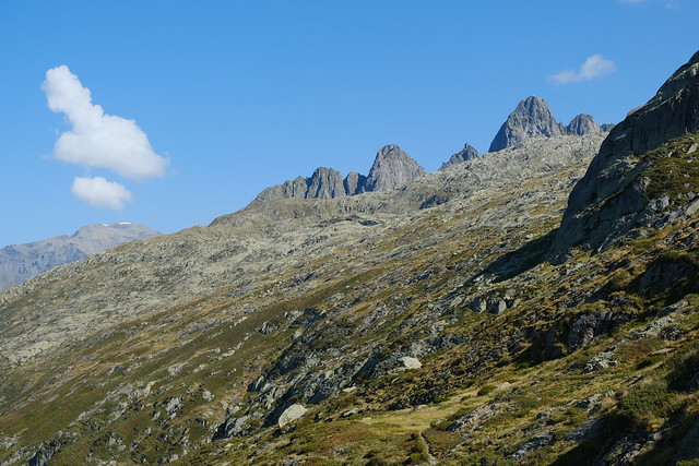
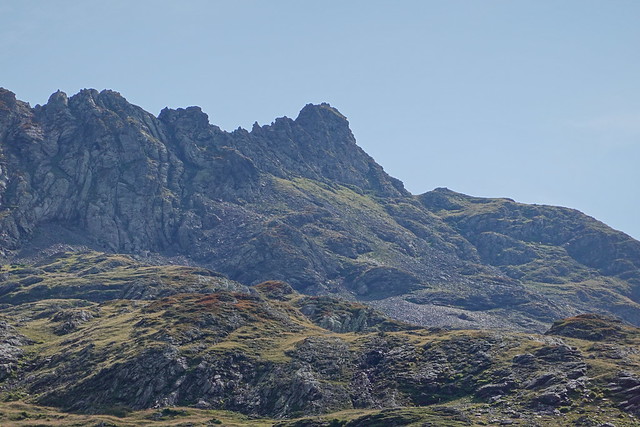
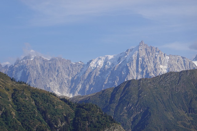
▲ Aiguille de Charlanon.
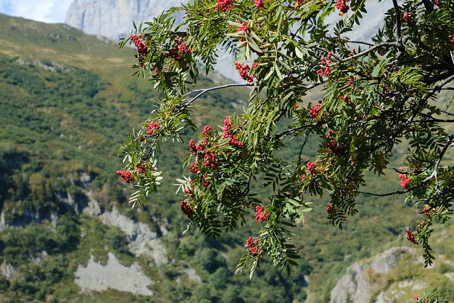
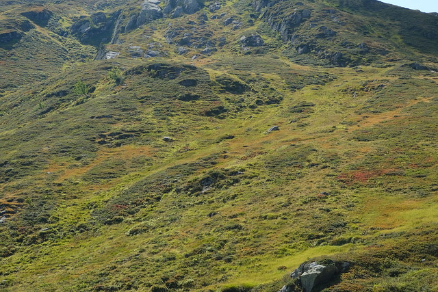
▲ Autumn colors.
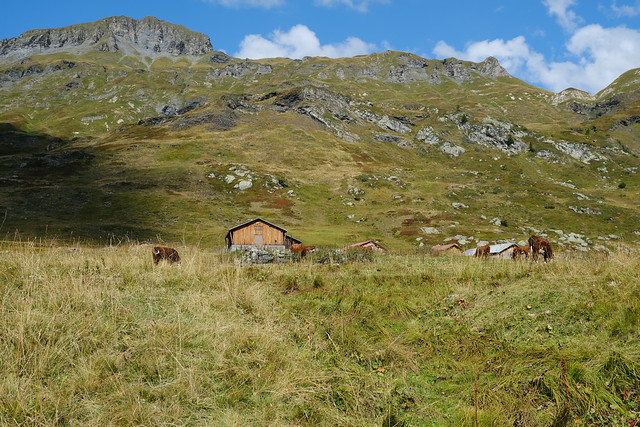
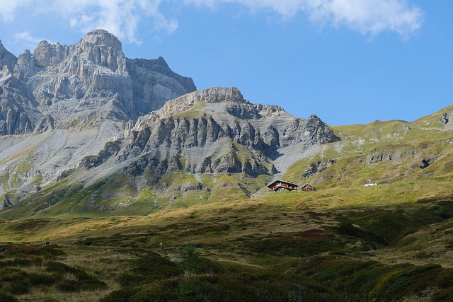
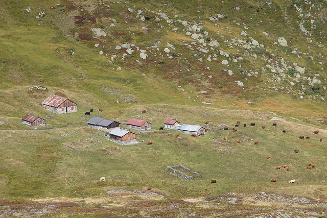
▲ Chalets de Moëde.
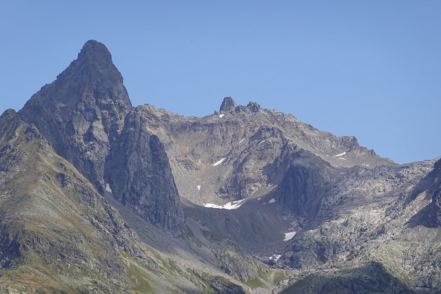
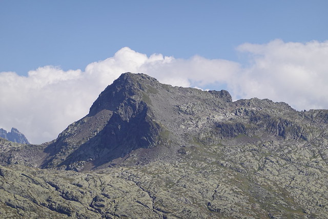
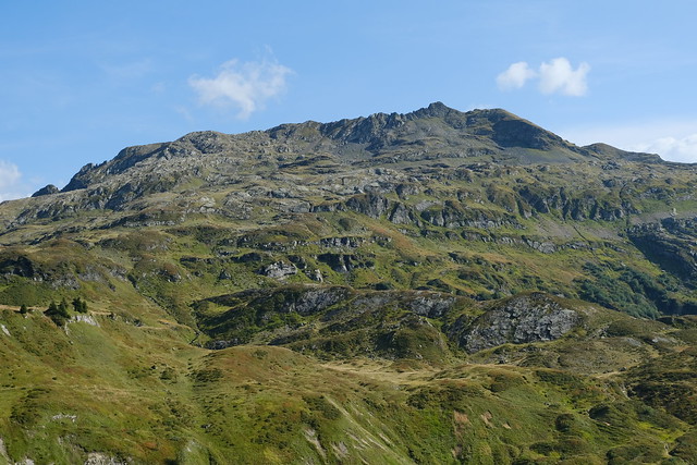
▲ Pointe Noire de Pormenaz.
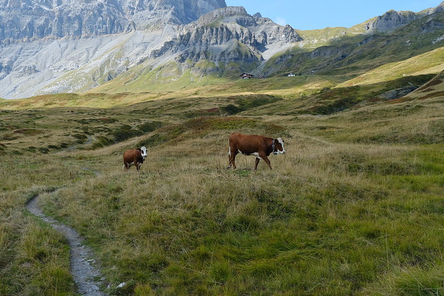
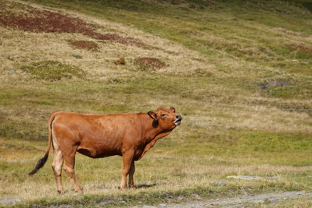
▲ Cows roaming in the pasture.
▲ Below Refuge de Moëde Anterne.
▲ Aiguille du Pouce.
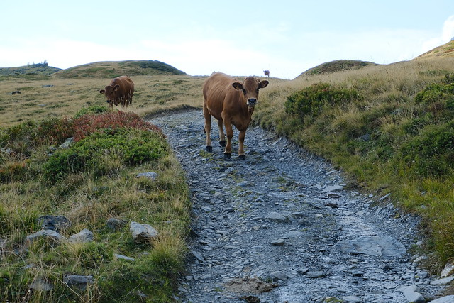
▲ More cows on the trail. I almost got mugged by one so beware! After all, cows kill more people every year than sharks.
▲ Aiguille Verte above Chamonix.
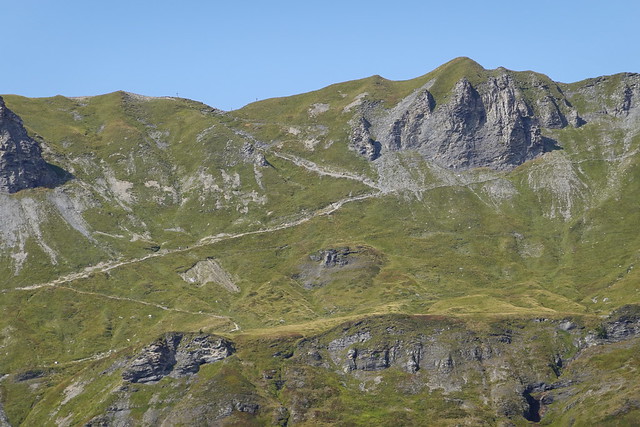
▲ Aiguille de Charlanon. Lac Cornu is in the bowl on the lower left of the picture.
▲ Tête de Moëde.
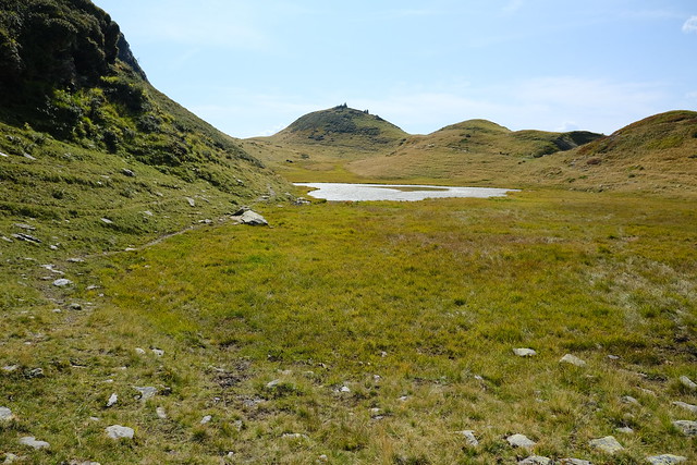
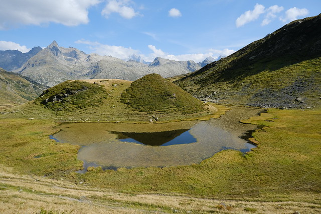
▲ Le Laouchet, a small lake.
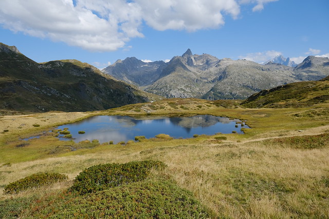
▲ Small pond.
▲ Summit of Pointe Noire de Pormenaz.
▲ Chalets de Moëde.
▲ Col d’Anterne.
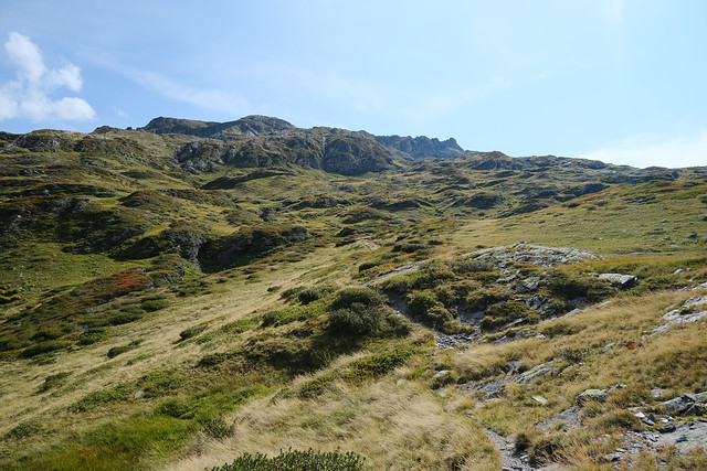
▲ There is an off-trail path to the summit of Pointe Noire that way. Here is a post that goes through there on the way down. I got a bit closer but soon went down towards the main path to start on the way to Plaine Joux.
▲ Combe de la Balme in Massif des Aiguilles Rouges.
▲ Pointe de Platé.
▲ Lac de Pormenaz.
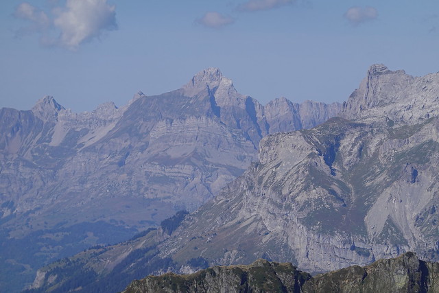
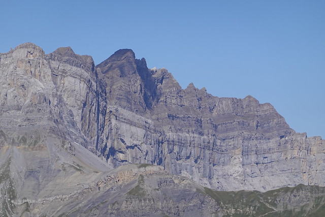
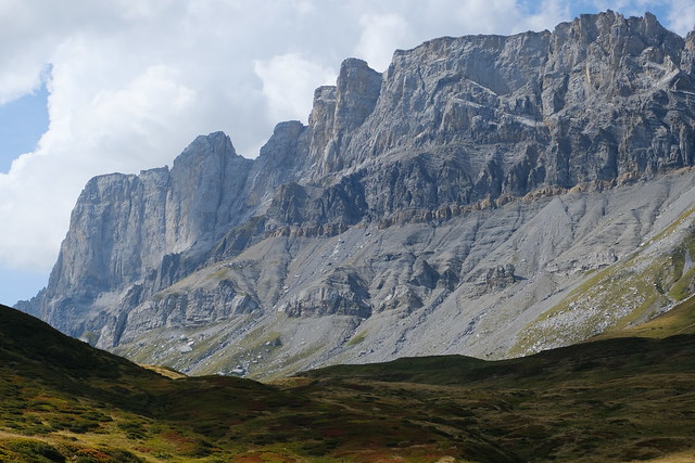
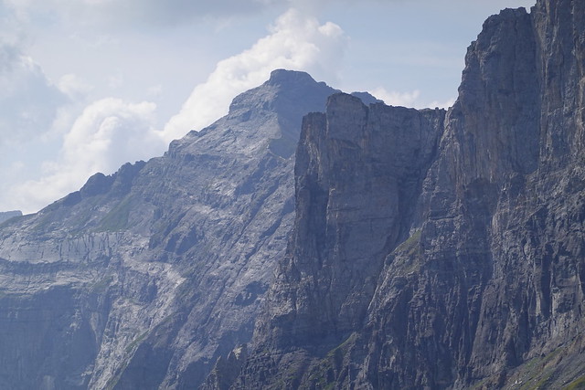
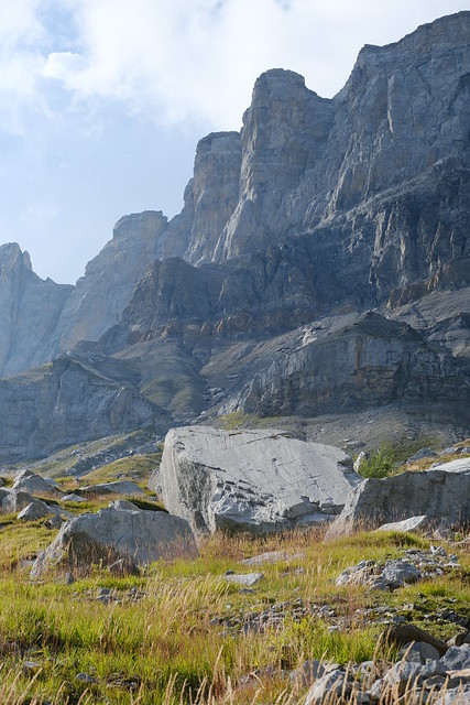
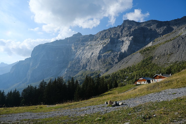
▲ Rochers des Fiz.
▲ Refuge de Moëde Anterne.
▲ Le Laouchet.
▲ On the way down to Torrent du Souay.
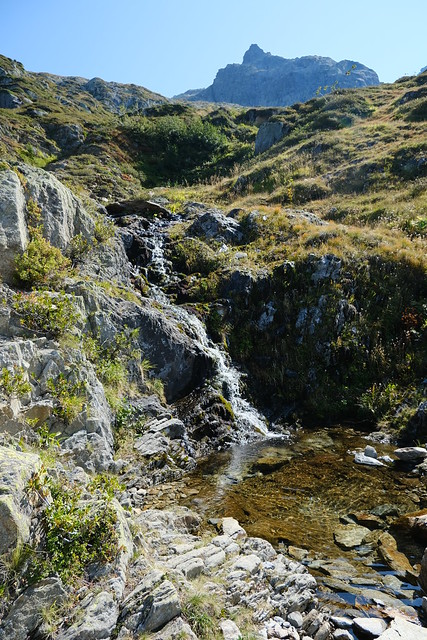
▲ Almost dry.
▲ Pointe Noire de Pormenaz.
▲ On the dirt road to Plaine Joux.
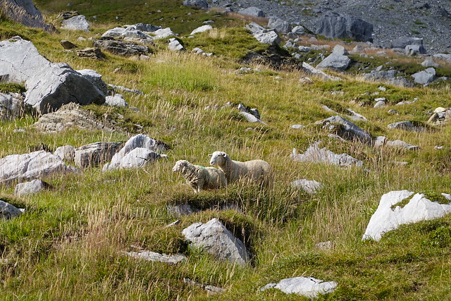
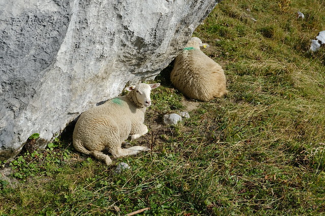
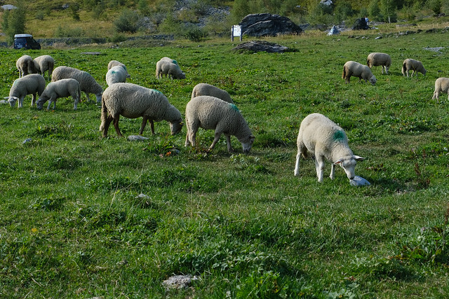
▲ Sheep.
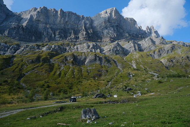
▲ The path known as Les Argentières on the other side of Torrent du Souay.
▲ I took a detour on a smaller trail.
▲ Sheep at Ayères des Pierrières.
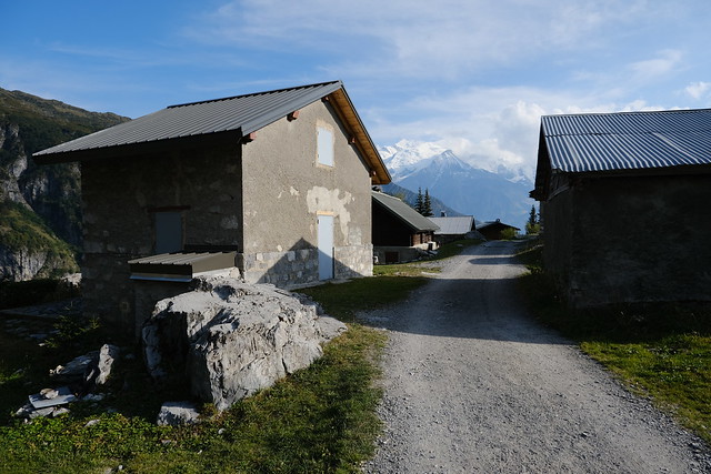
▲ Hamlet of Ayères des Pierrières.
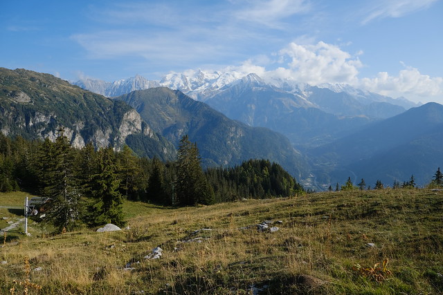
▲ Mont Blanc.
▲ Pointe de Platé and Pointe du Dérochoir.
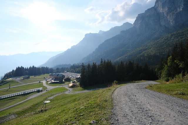
▲ Plaine Joux in view.
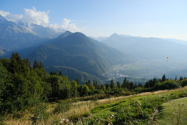
▲ Arve valley from the runway for paragliders.
▲ Bus to Saint-Gervais.
