Hike to Mount Shiro & Mount Maku in Yugawara

Earlier this week, I went back to Yugawara. The goal was to get to to Makuyama Park and its 4000 plum trees, now in full bloom.
Earlier this week, I went back to Yugawara. The goal was to get to to Makuyama Park and its 4000 plum trees, now in full bloom.
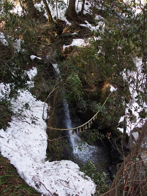
Mount Takao has many trails to and from the summit. This time, starting from the Takaosanguchi Keio station (高尾山口駅) at the foot of the mountain, I took trail #6 to get to the summit. There was still a lot of snow left. On the way down, I started on trail #3 then followed the paved road (trail #1) until Konpiradai, where I took a trail through the forest. I then walked to the Takao JR station, in town.

The Tenen Hiking Trail connects Kenchoji Temple in Kita-Kamakura with Zuisenji Temple in the east of the city, leading mostly along the ridge of the hills. I had come back to Kamakura intending to do the 3 hiking trails listed on that page but it was not great because of the melting snow that made the trail very muddy. I ended the day in Enoshima instead.
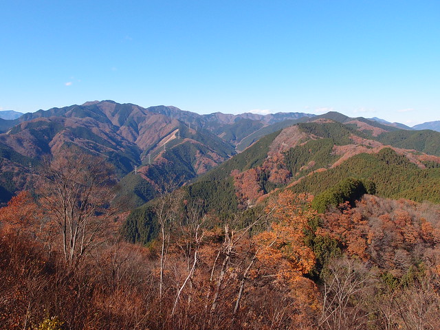
A few weeks ago, I went back to Mitake to continue the trail to Mount Bounoore (aka Mount Bounomine) I had planned to do then but abandoned due to the fog.
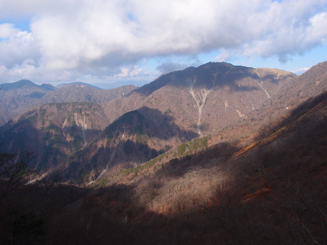
Last week, I went back to the Tanzawa mountains in Kanagawa Prefecture. This time, I hiked up Mount To (塔ノ岳; 1491m ; aka Tonodake), Mount Tanzawa (丹沢山; 1567m) and Mount Sannoto (三ノ塔; 1205m). Those mountains are quite popular: They are easily accessible with public transportation and the trail is very well-developed (stairs and huts at every summit). When the weather is good, it can offer great views on Mount Fuji. I was unlucky though: The forecast was “Sunny” but there was a lot of fog instead.

At 2,017m, Mount Kumotori (雲取山) is the highest mountain in Tokyo. The peak actually stands at the boundaries of Tokyo, Yamanashi Prefecture and Saitama Prefecture. I went there on a day-hike a few weeks ago. I basically followed the plan outlined here (with map).
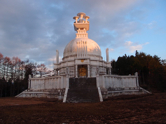
A Peace Pagoda is a Buddhist stupa. It is designed to inspire peace and to help unite people of all races and creeds in their search for world peace. Most peace pagodas built since World War II have been built under the guidance of Nichidatsu Fujii, a Buddhist monk from Japan and founder of the Nipponzan-Myohoji Buddhist Order. Fujii was greatly inspired by his meeting with Mahatma Gandhi in 1931 and decided to devote his life to promoting non-violence. In 1947, he began constructing Peace Pagodas as shrines to World peace.
The Tokyo Peace Pagoda was inaugurated in August 1974 at the summit of Mount Odera (大寺山; 960m) near Lake Okutama. Not sure why or when it was abandoned. I had a first glimpse of the pagoda when I went to Mount Gozen a few weeks ago and I had no idea what it was: It seemed like a large structure (actually 45m in height and 55m of diameter) but there was no mention of it on maps or tourism pamphlets. So I went to see for myself after I got down from Mount Mito. The trail starts between Mito Bridge and Miyama Bridge on Lake Okutama. It takes about 50min to the summit. After getting back to Lake Okutama, I crossed the Miyama Bridge and waited for the bus back to Okutama JR station.
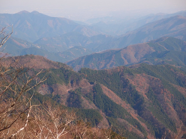
A couple of weeks ago, I hiked Mount Mito (三頭山; 1531m). It was my last of the “Three Mountains of Okutama”.

A couple of weeks ago, I went hiking in the sea-side town of Yugawara, in Kanagawa Prefecture, going up, in order, Mount Shiro (城山; 563m), Mount Maku (幕山; 626m) and Mount Nango (南郷山; 610m). They are not very high mountains but since the route starts at sea level, it still made for good exercise. The view on the Pacific Ocean during the hike was also great.

After getting down from Mount Tsukiyomi, I walked the Ikoi trail (奥多摩湖いこいの路). It is a mostly flat path that follows the south bank of Lake Okutama from the Ogouchi Dam to the Yama-no-Furusato Village. The autumn colors were quite nice in the sunset. Very relaxing after the mountains! Although I only did a short section, the whole trail takes about 4 hours.
After the Village, the Ikoi trail gives way to the Lakeside Path (湖畔の小道), which ends at the floating Mugiyama-no-Ukihashi (麦山の浮橋) bridge (aka Drum Bridge). The bridge takes walkers across the lake, next to the Ogouchi Shrine on the north bank. However, it is sometimes removed in case of drought (this blog should have some up-to-date info on closures).