Hike to Pointe de Puvat
In the spring of 2024, I went on a hike to Pointe de Puvat, above Plateau des Glières. I started in Les Villards-sur-Thônes and ended up in Morette (Thônes).
Here is a map of the path I walked:
- Download path KML
- Download large map
- More photos on Flickr
- Day of the hike: May 9, 2024
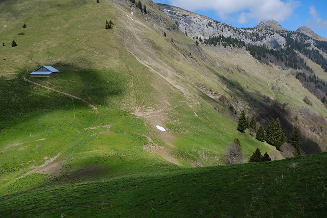
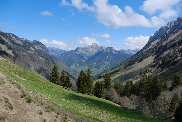
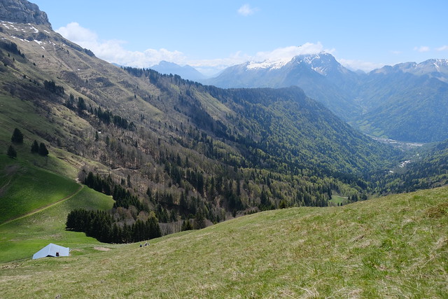
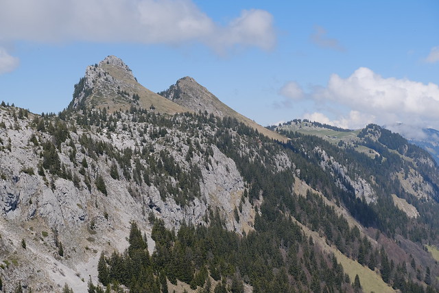
In the morning, I arrived by bus at les Villards-sur-Thônes (La Villaz bus stop). I started walking towards the pasture of Le Mont then walked across it to reach Les Fours. From there, I went up to Belvédère du Mont Lachat, where I had already been a few times. There was a great view from there. Then I took an unmarked trail to Col de la Buffaz. Thankfully, the snow on the torrent beds had mostly melted. At Col de la Buffaz, I went up again to reach Chalet de l’Ovine and walked towards the start of the ascent proper to Pointe de Puvat. There was still a bit of snow in that area but it was mostly flat so no difficulty. To reach the summit of Pointe de Puvat, I had to do a little bit of simple climbing. There was a great view at the top. On the way down, I first walked to Plan du Loup and Plaine de Dran on Plateau des Glières. Then I took the path towards Morette through La Rosière. I waited for the bus in Morette.
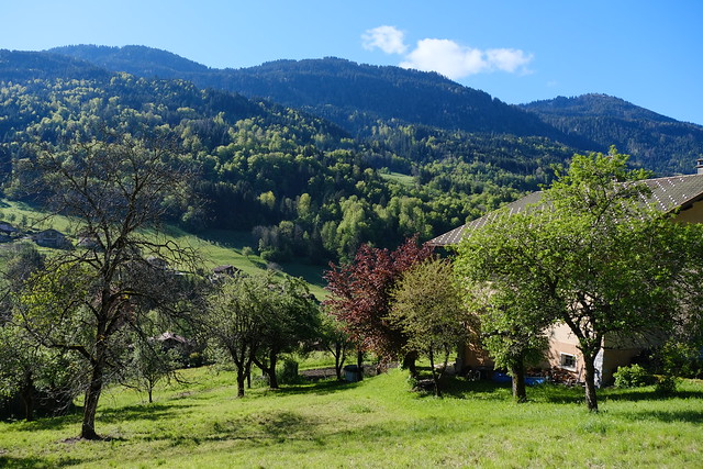
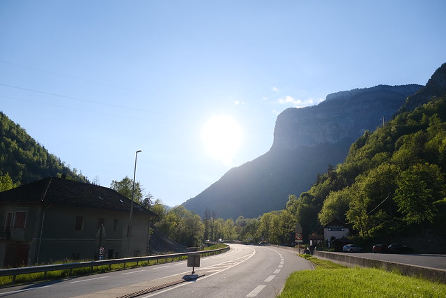
▲ In Villards-sur-Thônes.
▲ In the pasture above les Villards-sur-Thônes.
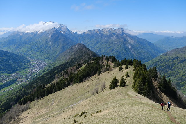
▲ The ridge of Mont Lachat.
▲ Towards Col de Tamié.
▲ Arriving at Belvédère du Mont Lachat.
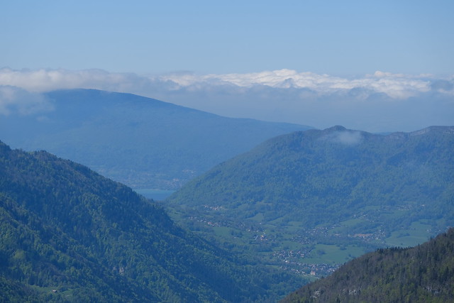
▲ View from the belvédère towards Thônes.
▲ Lake Annecy.
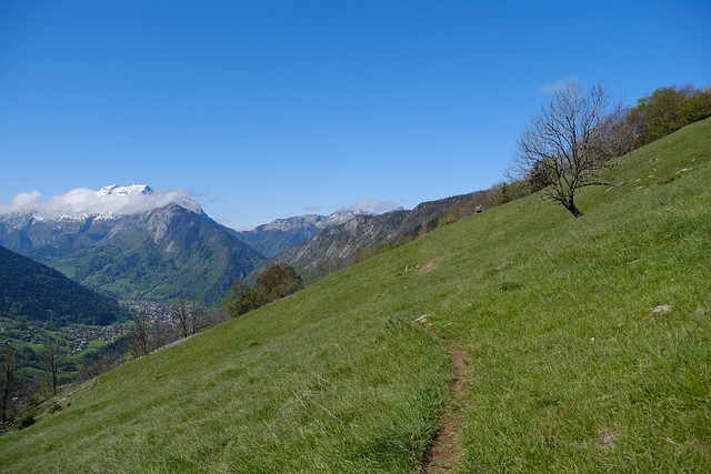
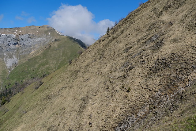
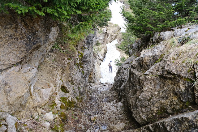
▲ Trail to Col de la Buffaz. It was faint at times.
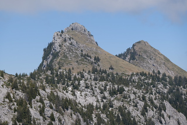
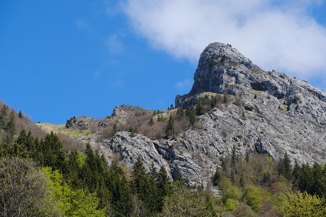
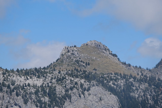
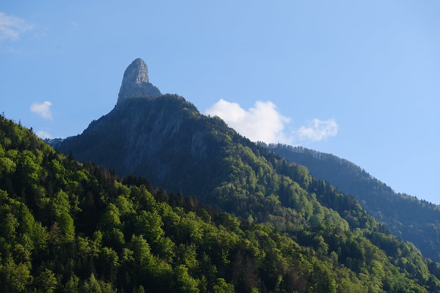
▲ Pointe de Puvat.
▲ Col de la Buffaz and Chalet de la Buffaz.
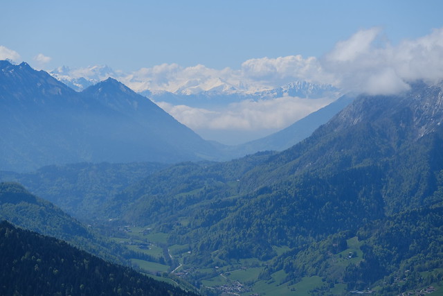
▲ View towards Pic de Jallouvre from the Col.
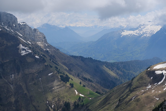
▲ View towards Thônes and La Tournette from above the Col.
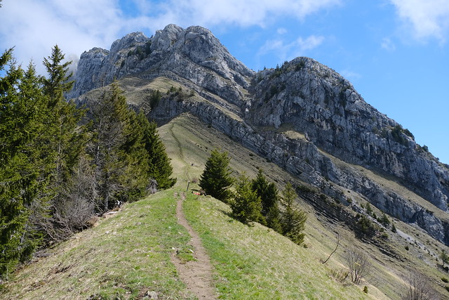
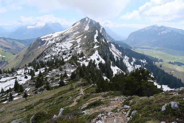
▲ Pointe de Puvat getting closer.
▲ Pointe de Dran.
▲ Pointe de Puvat.
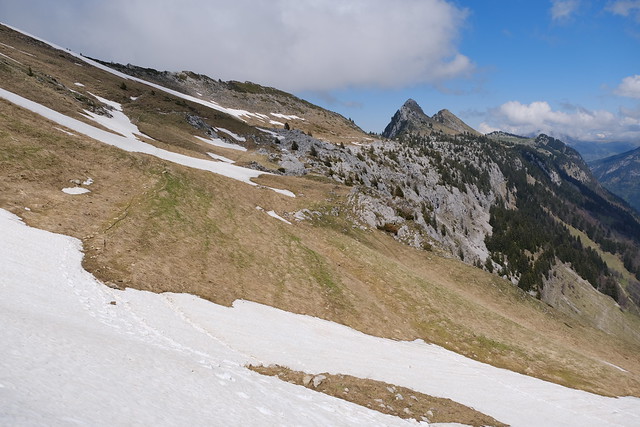
▲ Snow on the way to Pointe de Puvat.
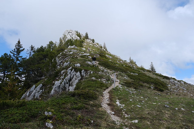
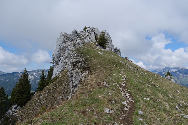
▲ Ascent to Pointe de Puvat. The rock ahead is not the summit.
▲ Towards the summit.
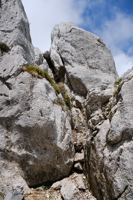
▲ I went up the summit using this easy climb.
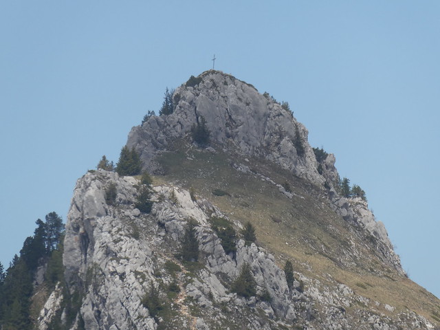
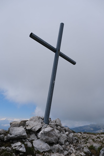
▲ Cross at the summit of Pointe de Puvat.
▲ Pointe des Ovenettes.
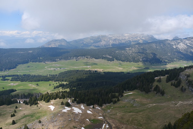
▲ Plateau des Glières.
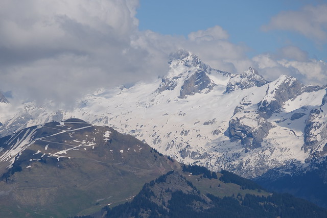
▲ Pointe Percée.
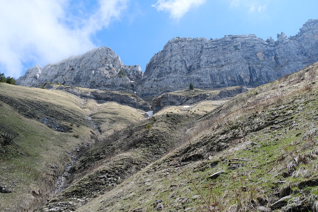
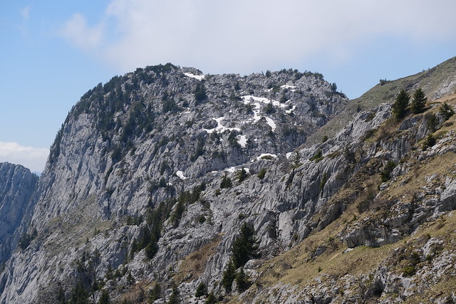
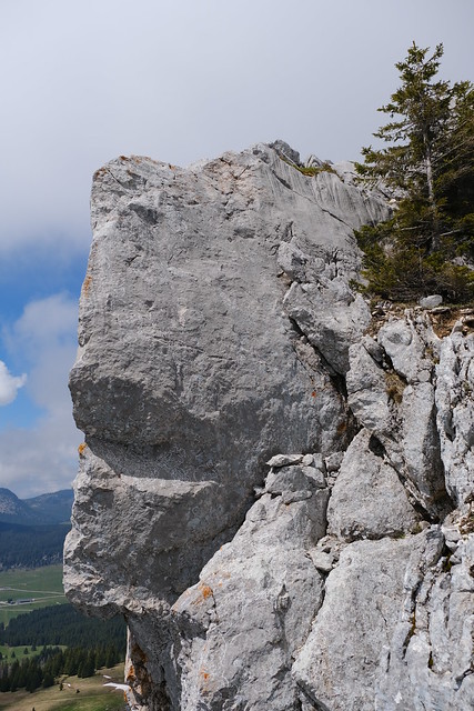
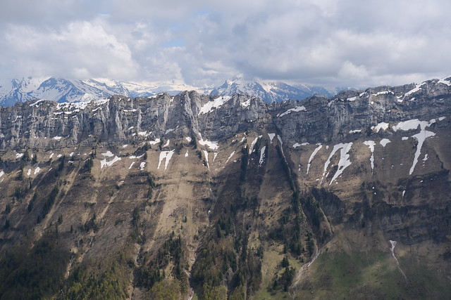
▲ Cliff of Mont Lachat on the south-east side.
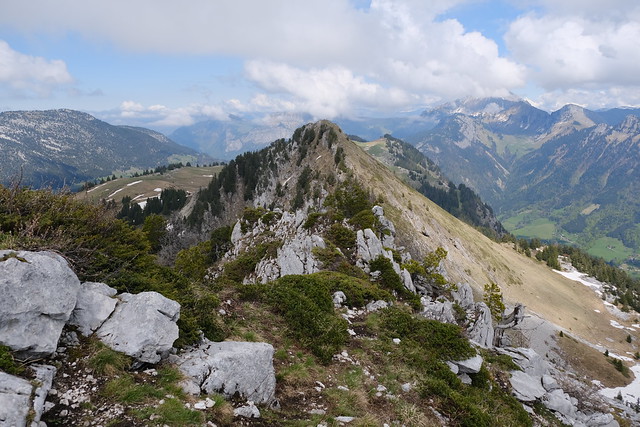
▲ Col de la Buffaz and Belvédère du Mont Lachat.
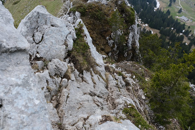
▲ I went down using another path. There was no climbing but I still had to take care.
▲ Pointe de la Québlette on the way down to Col de l’Ovine.
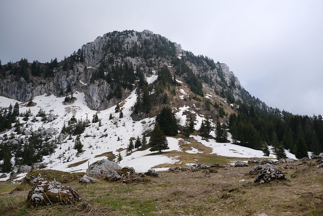
▲ At Plan du Loup, looking up at Pointe de Puvat.
▲ Plaine de Dran.
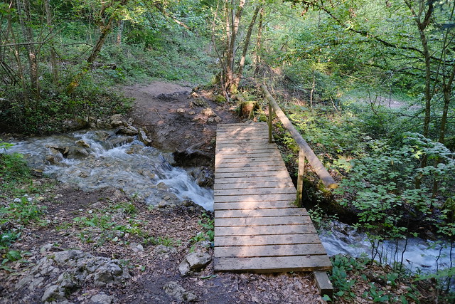
▲ Path down towards the valley.
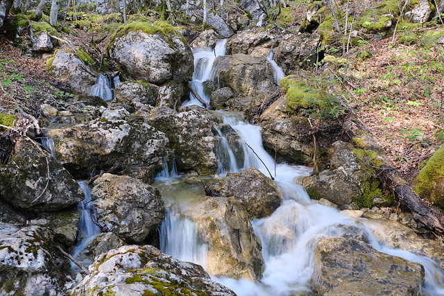
▲ Nant Debout.
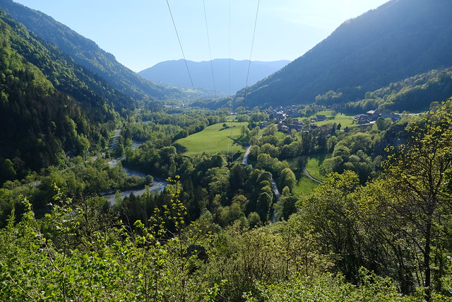
▲ Plaine du Fier.
▲ Waiting for the bus in Morette (Thônes).
