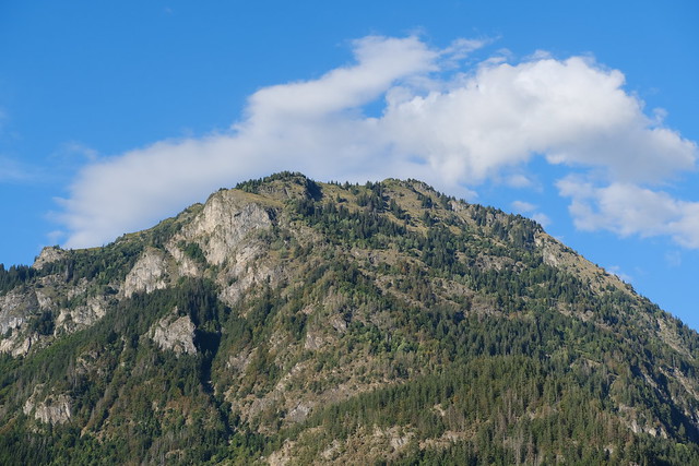
Hike to Pointe Noire de Pormenaz
In the summer of 2023, I went on a hike to Pointe Noire de Pormenaz. I had tried a few times before to reach the summit, but the paths I chose were not quick enough so I gave up. That summer, there was an early bus from Saint-Gervais so I made another attempt. On the way up, I took an alternate trail that I had scoped out during a previous attempt. On the way down, I walked to the Servoz train station.
Here is a map of the path I walked:
- Download path KML
- Download large map
- More photos on Flickr
- Day of the hike: September 1st, 2023
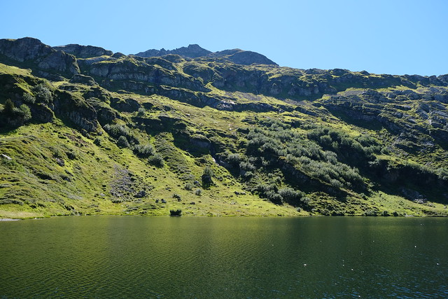
In the morning, I took an early train from Annecy to Saint-Gervais-les-Bains then boarded a Car Région bus (line Y85) to Plaine-Joux. I started walking from there towards Refuge de Moëde-Anterne. Before I reached it, I went down towards the Souay torrent, crossed it, then headed to Lac de Pormenaz.
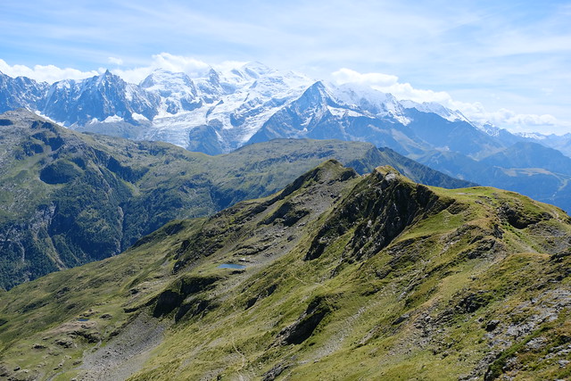
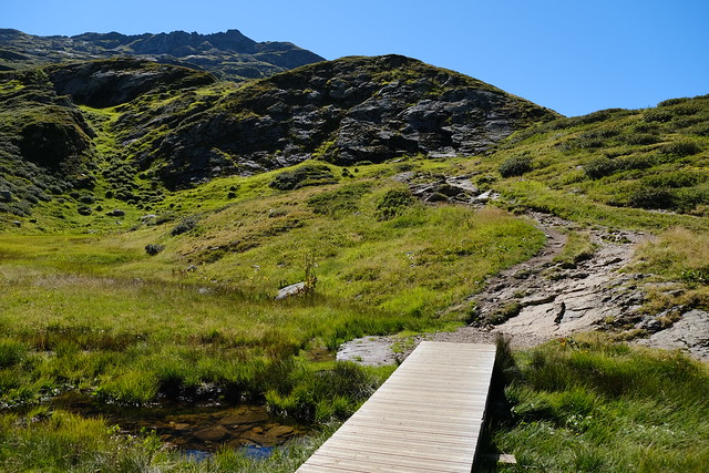
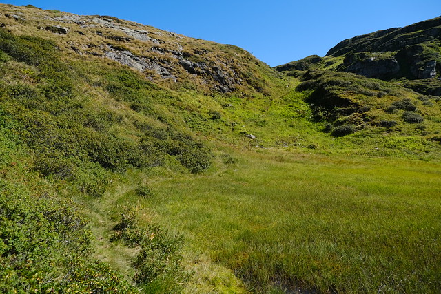
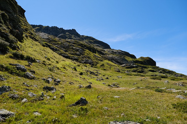
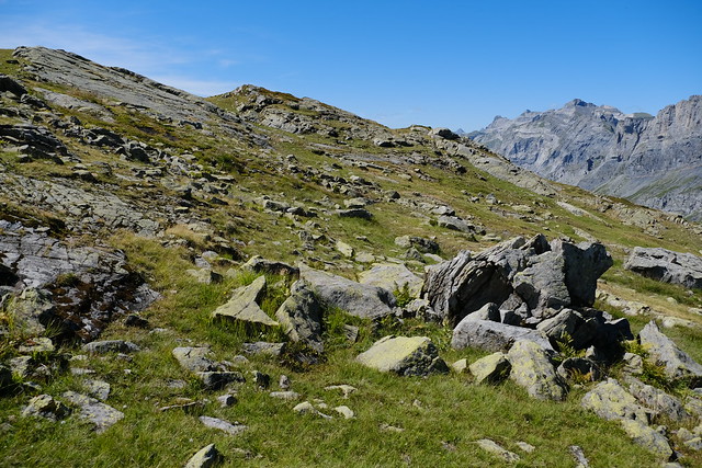
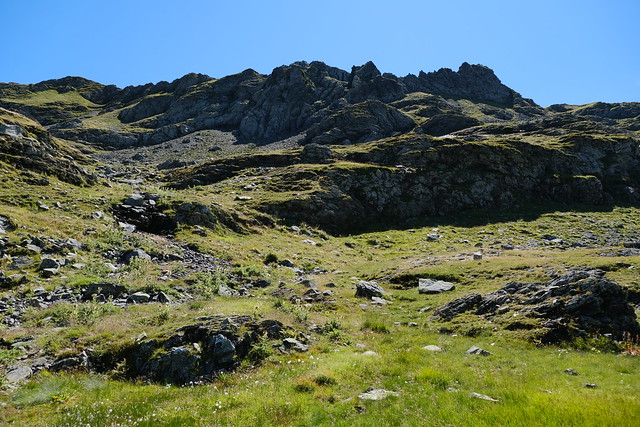
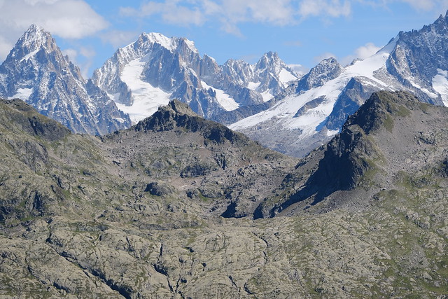
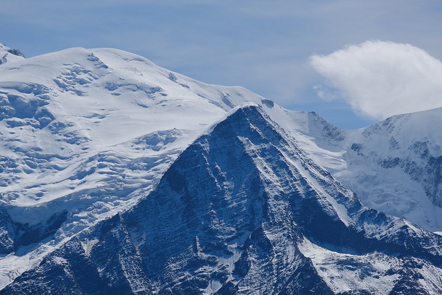
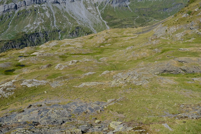
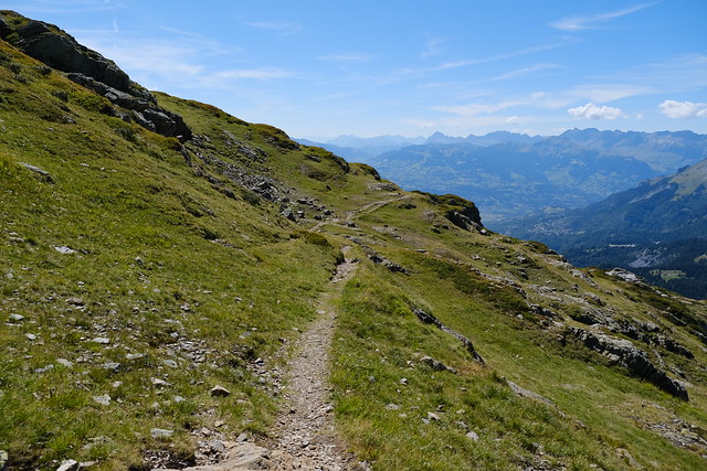
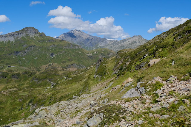
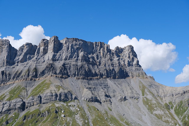
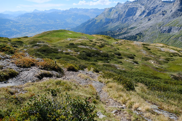
From there, I found a tiny trail that went above. It soon disappeared but I continued through the grassland below Pointe Noire de Pormenaz. There was no trail but the progression was straightforward. I joined back with the standard trail a bit before the summit. At the top, there was a great view on Mont Blanc and the surrounding mountains, like the Aiguille Rouges and Rochers des Fiz.
On the way down, I wanted to head to Chalets de Pormenaz by following the Arête de Pormenaz. However, I wasn’t sure if there would be sheep (and the dreaded sheepdogs), so I chickened out, and instead followed the standard trail. After the Chalets, I continued all the way down to Servoz and arrived at the train station.
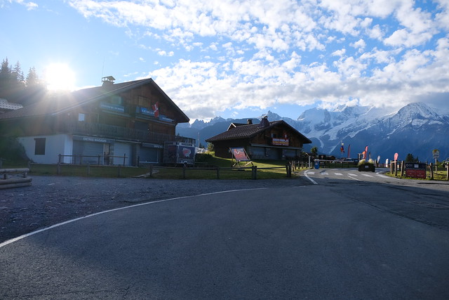
▲ At the ski resort of Passy-Plaine-Joux.
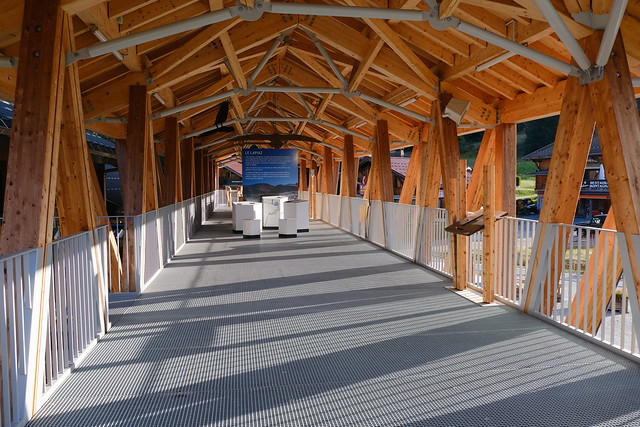
▲ New structure (at the time) next to Maison de la Réserve Naturelle de Passy.
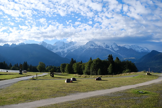
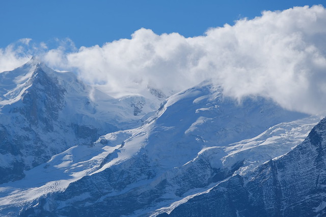
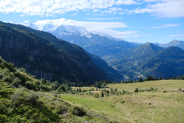
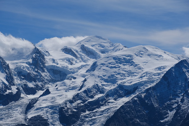
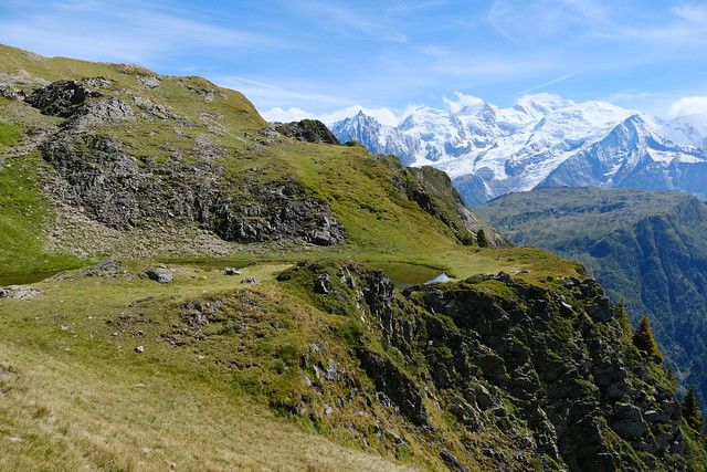
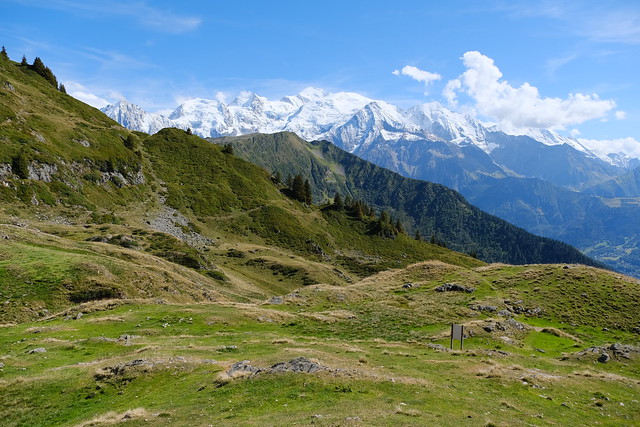
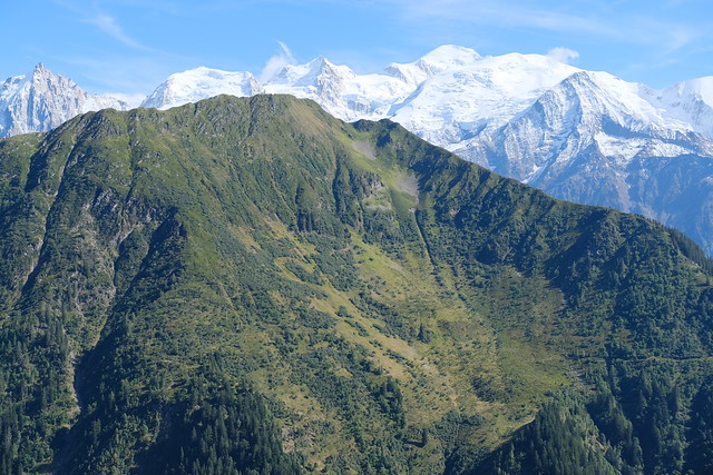
▲ Mont Blanc.
▲ On the way to Ayères-des-Pierrières.
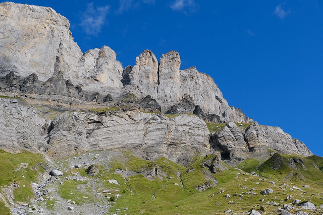
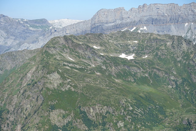
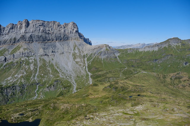
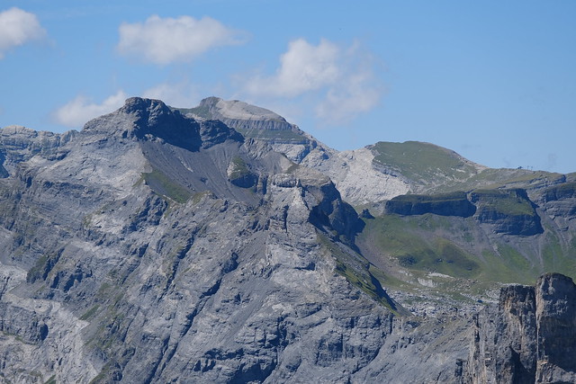
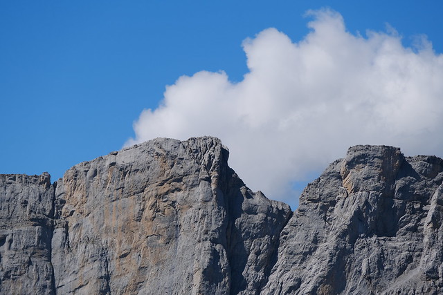
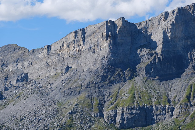
▲ Rochers des Fiz.
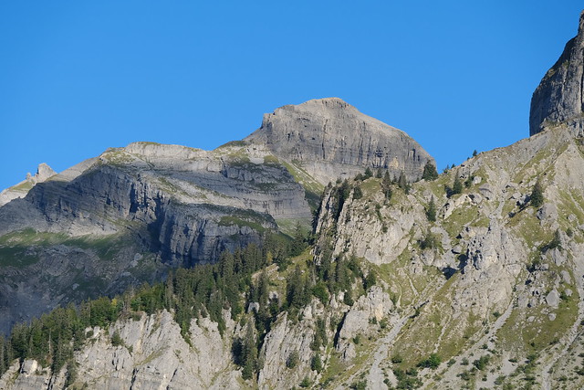
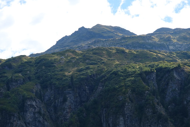
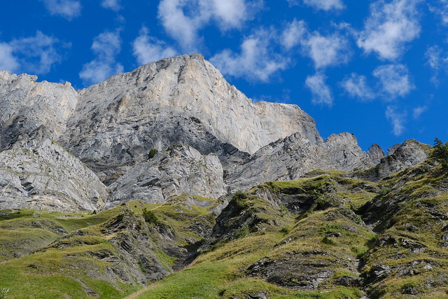
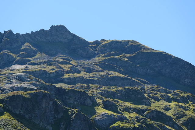
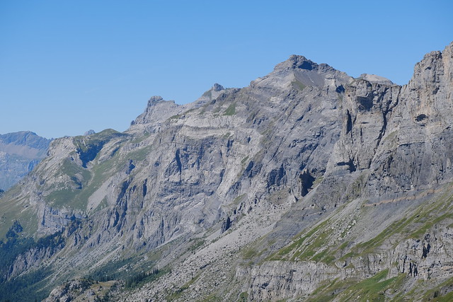
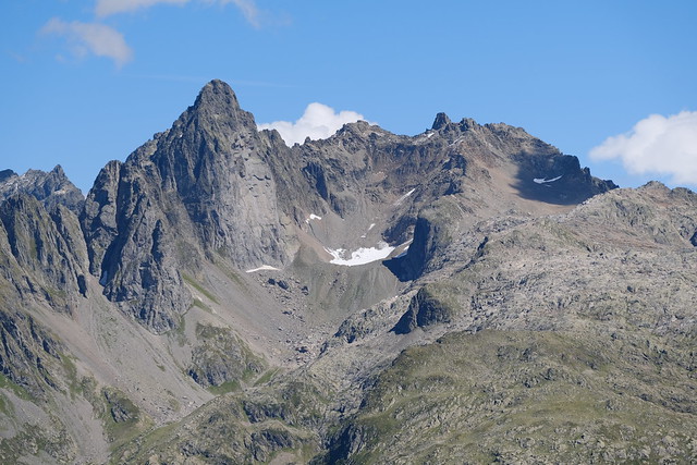
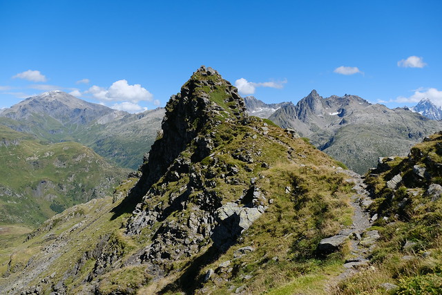
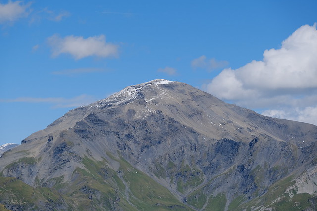
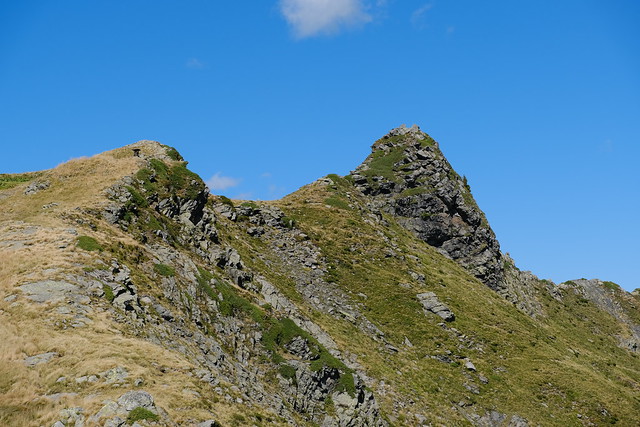
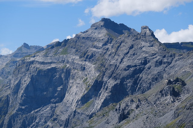
▲ Pointe Noire de Pormenaz.
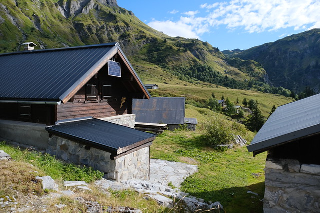
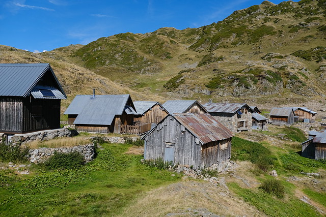
▲ Chalets at Ayères-des-Pierrières.
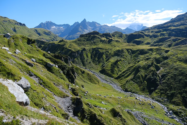
▲ Looking back at Ayères-des-Pierrières.
▲ Le Souay below.
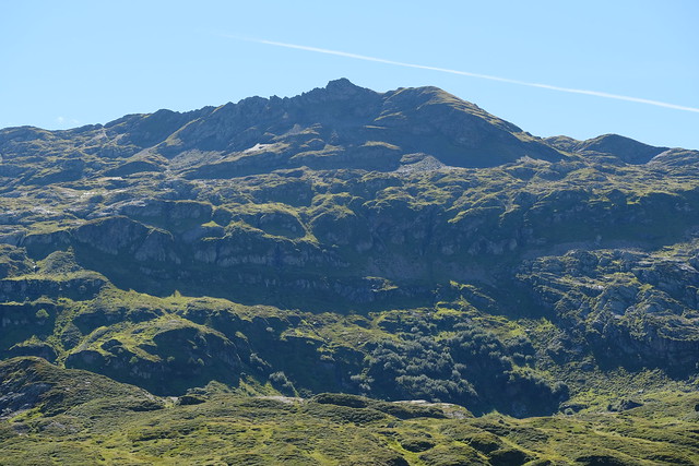
▲ Pointe Noire de Pormenaz on the other side of the torrent,
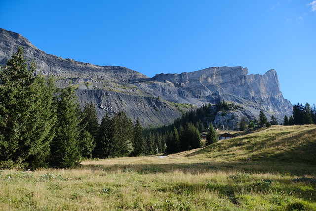
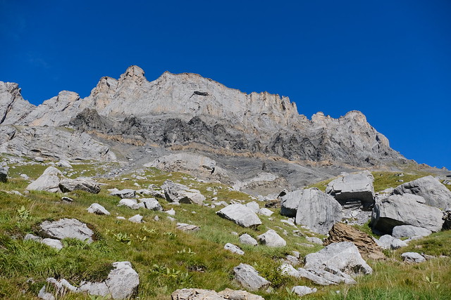
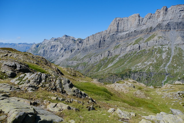
▲ Rochers des Fiz.
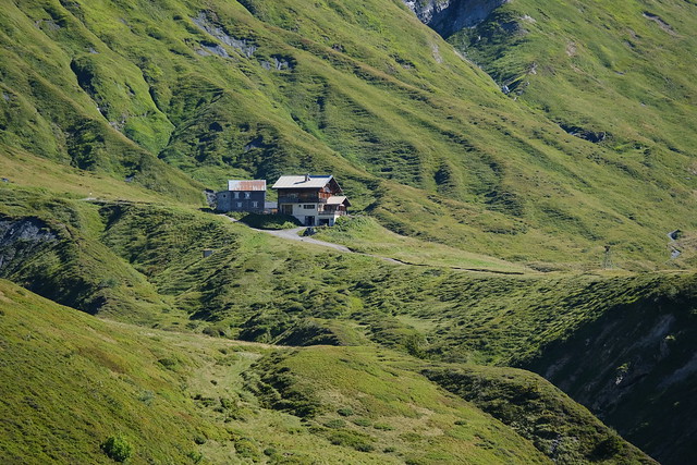
▲ Refuge de Moëde-Anterne.
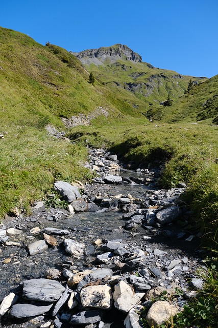
▲ Crossing the Souay torrent.
▲ Le Laouchet.
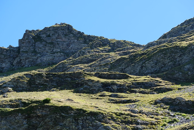
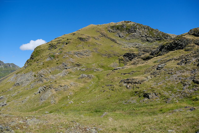
▲ Pointe Noire de Pormenaz.
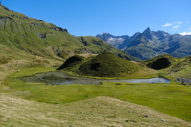
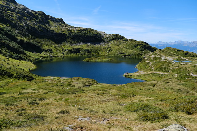
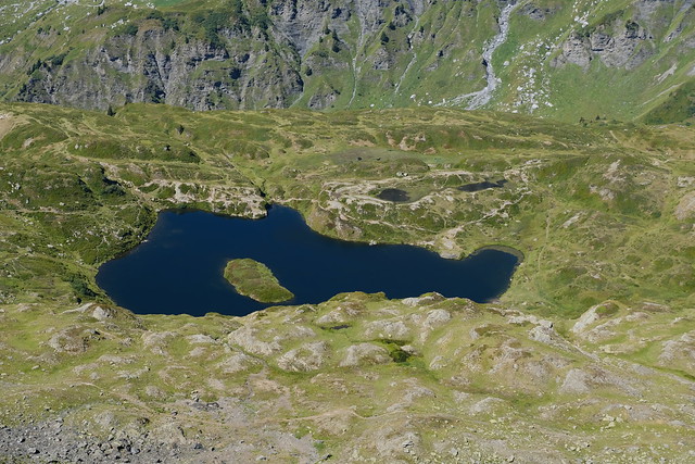
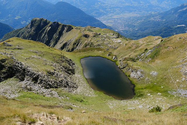
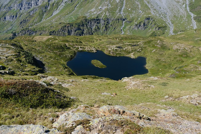
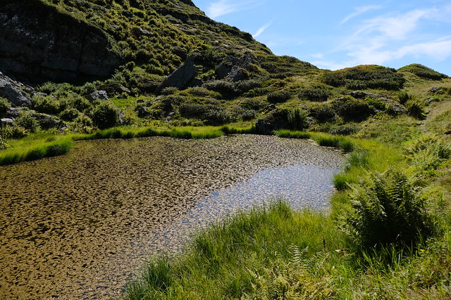
▲ Lac de Pormenaz.
▲ Very clear.
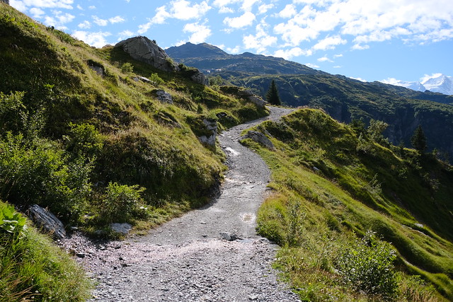
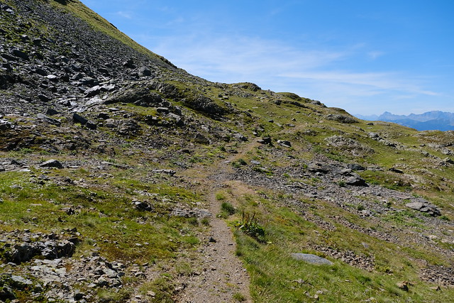
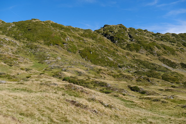
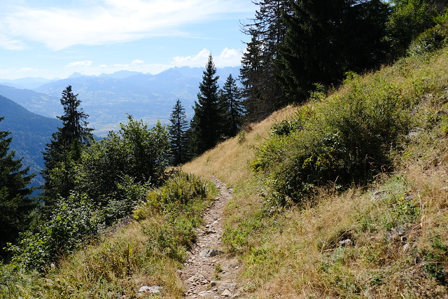
▲ Unmarked trail.
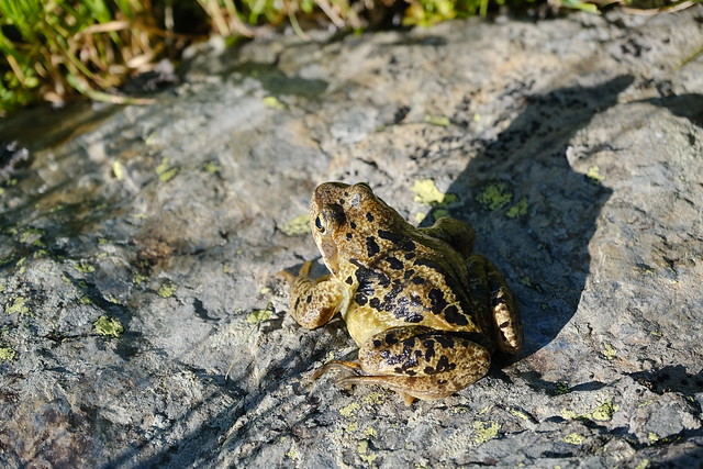
▲ Frog.
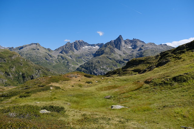
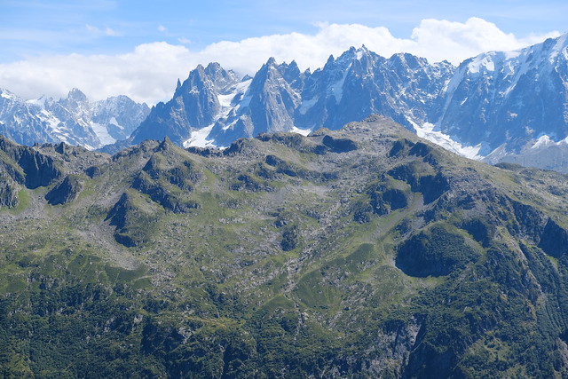
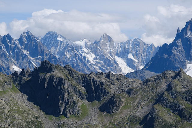
▲ Aiguilles Rouges.
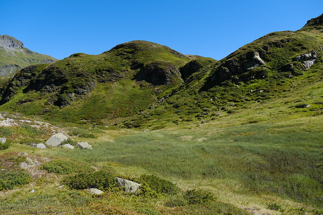
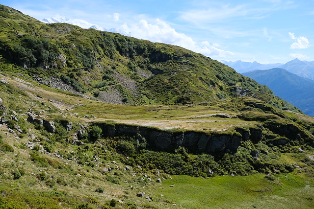
▲ Walking across the grassland below Pointe Noire de Pormenaz.
▲ Pointe de Platé.
▲ Joining with a more visible trail.
▲ Pointe Noire de Pormenaz.
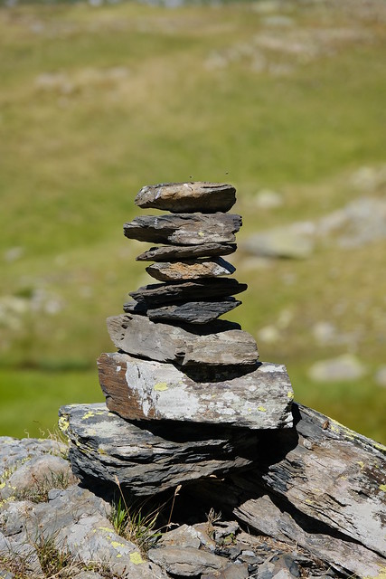
▲ Cairn when joining with the marked trail.
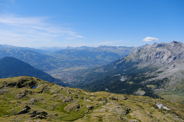
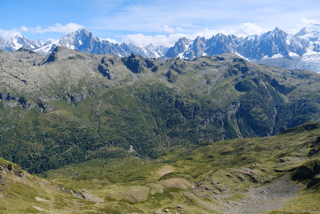
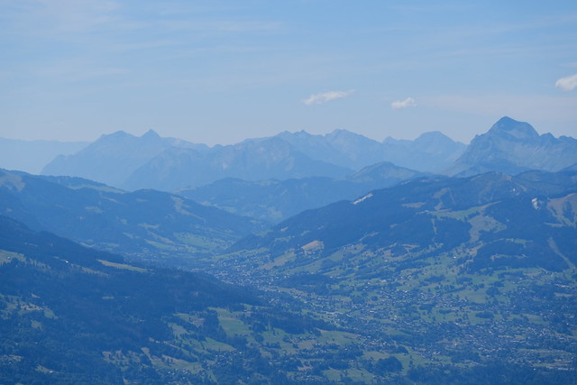
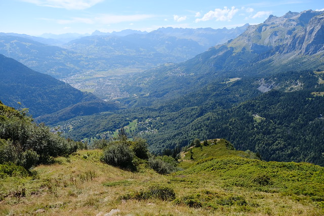
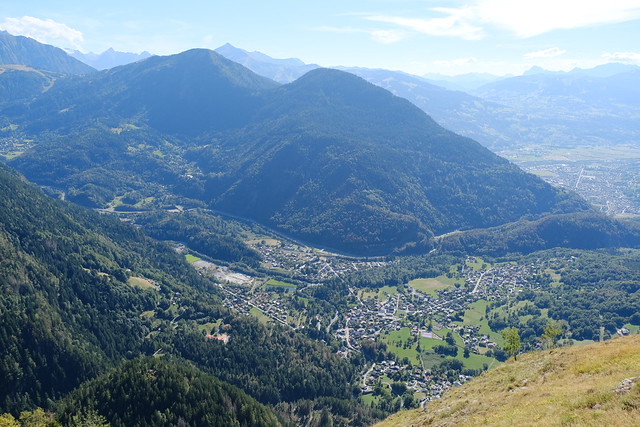
▲ Vallée de l’Arve.
▲ Summit in view.
▲ Mont Blanc.
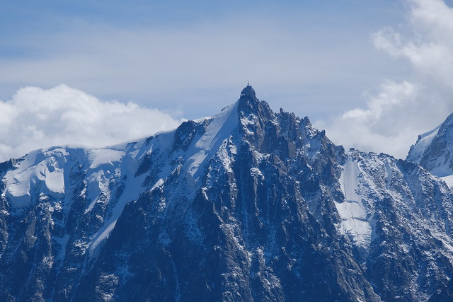
▲ Aiguille du Pouce and Aiguilles de la Glière.
▲ Le Brévent and the place known as Montagne de la Coquille.
▲ View of Pointe Noire de Pormenaz from Le Brévent.
▲ Summit of Pointe Noire de Pormenaz.
▲ Lac de Pormenaz.
▲ Mont Blanc and Arête de Rochy.
▲ Mont Buet.
▲ Aiguille Pourrie and Aiguille de Charlanon on the right. Lac Cornu is in the bowl ahead.
▲ Aiguille du Goûter.
▲ Towards Megève.
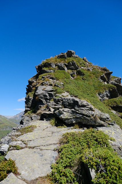
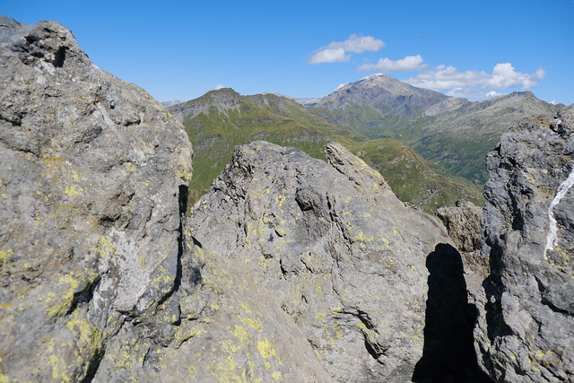
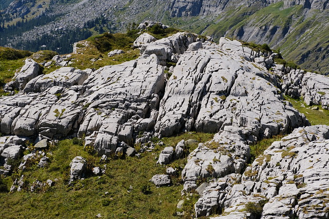
▲ Rocks at the summit.
▲ On the way down.
▲ Col du Brévent.
▲ Looking back at the summit.
▲ Gouille de La Cha.
▲ Réserve naturelle de Carlaveyron.
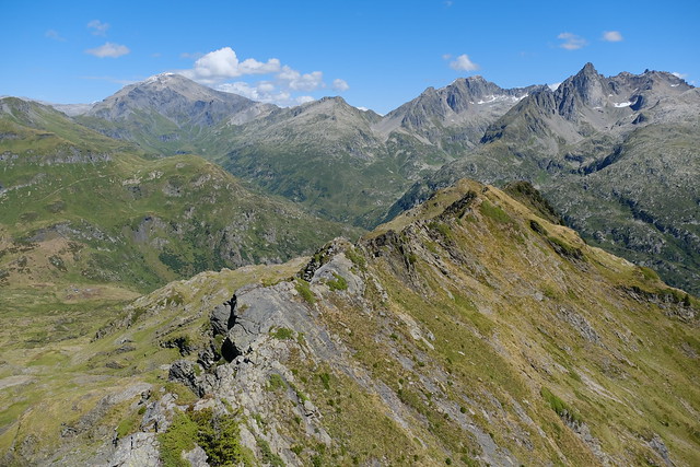
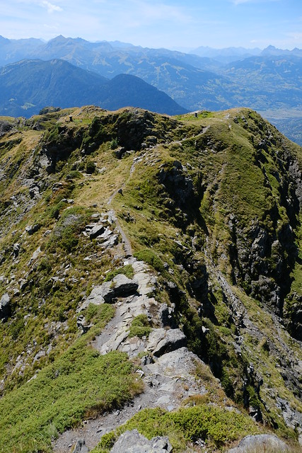
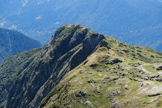
▲ Arête de Pormenaz.
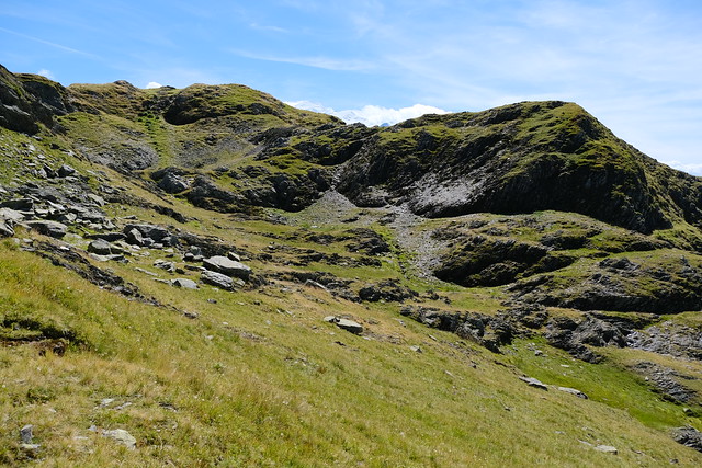
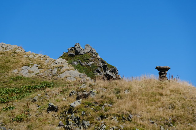
▲ The summit of Pointe Noire de Pormenaz is behind that bump.
▲ Lac de Pormenaz.
▲ Pointe de Platé.
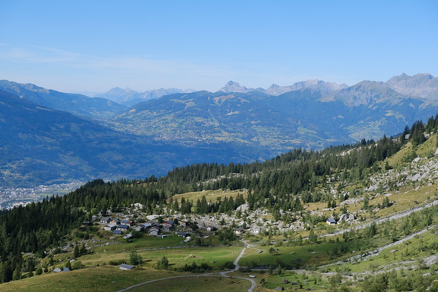
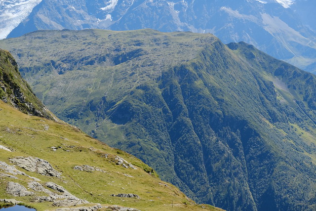
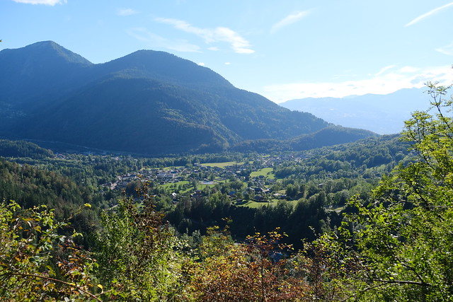
▲ Vallée de l’Arve.
▲ Arête de Pormenaz. It seems there wasn’t sheep on that side. There is now a website informing on the presence of sheepdogs in Auvergne-Rhône-Alpes: MapPatou.
▲ Chalets de Pormenaz.
▲ La Vogealle.
▲ Servoz below. Le Prarion and Tête Noire are on the other side of the Arve.
▲ Tête à Châtelet.
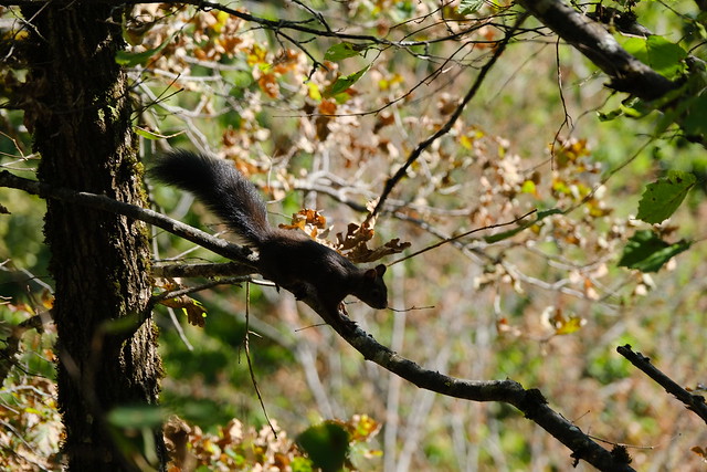
▲ Squirrel.
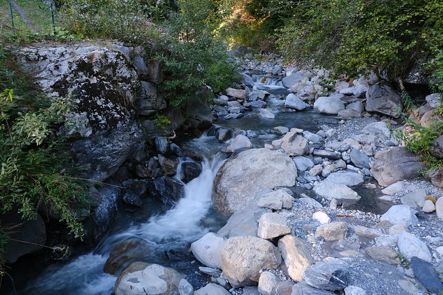
▲ Le Souay.
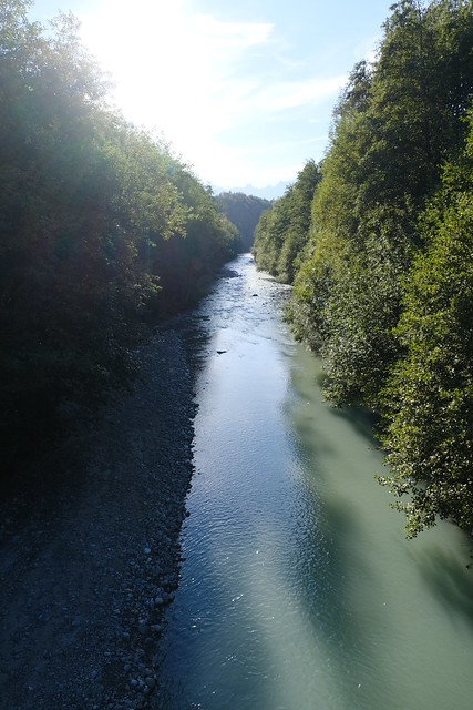
▲ Arve.
▲ I walked down through there on the way down.
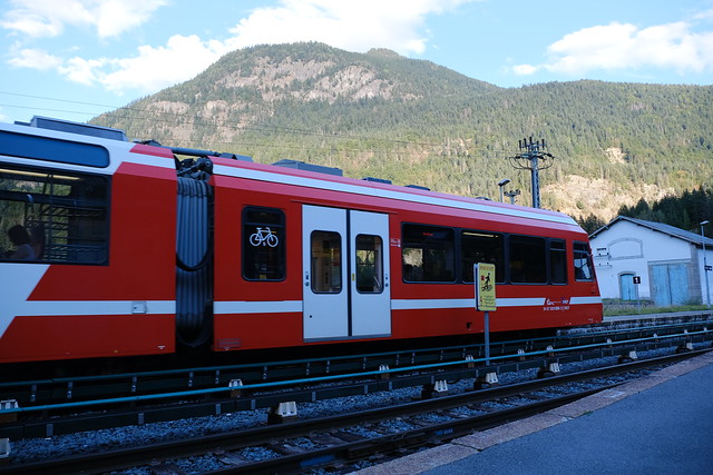
▲ Mont Blanc Express at the Servoz train station.
