Hike to Pointe des Aravis & Aiguille de Borderan
Last year, I went on a hike to Pointe des Aravis and Aiguille de Borderan, on the north side of Col des Aravis. I had already been to Pointe des Aravis, starting from the village of La Clusaz. This time, I continued to Aiguille de Borderan.
Here is a map of the path I walked:
- Download path KML
- Download large map
- More photos on Flickr
- Day of the hike: July 14, 2024
In the morning, I took the bus to La Clusaz then boarded a summer shuttle towards Col des Aravis and got off at the Via Ferrata bus stop. I started walking up to Combe de Borderan then, after I arrived there, took the fork to the exit of the Via Ferrata and the start of the path to Pointe des Aravis. On the way to the summit, there were some paint marks but it was pretty faint. However, since I had walked it already, it was quite easy-going.
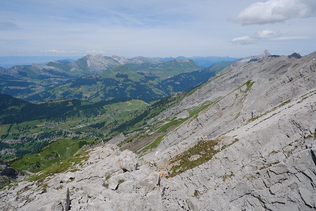
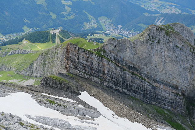
After Pointe des Aravis, I walked down, crossed a ridge then started walking next to the cliff to reach the western summit of Aiguille de Borderan. I had seen no one during the ascent but there was already someone there (an American living in Albertville!).There was a great view from there. I then hesitated to make the ascent to the eastern summit and highest point of Aiguille de Borderan, since the path looked quite precarious. It is not for the faint of hearts but it was fine in the end. The view was not very different from the other summit (just an additional view on Porte des Aravis) so maybe it would have been fine to skip it.
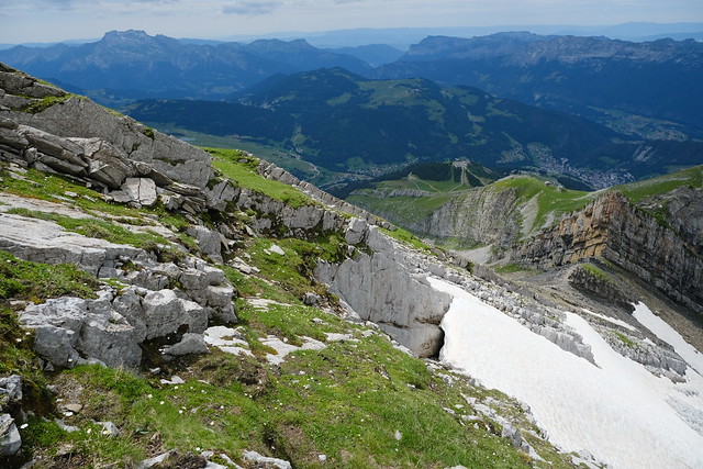
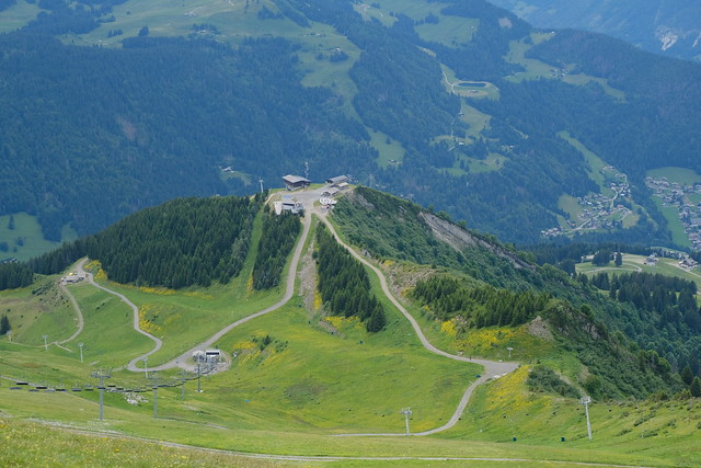
On the way down, I went directly through the grass towards the top of Combe de Borderan, below Aiguille des Calvaires. It was fine since the grass was dry but that part was very steep. I had read there was a trail marked with some paint but I couldn’t find it. Finally, I went down to the upper station of Télésiège du Crêt du Loup.
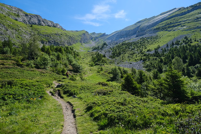
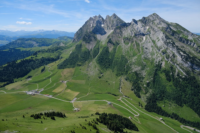
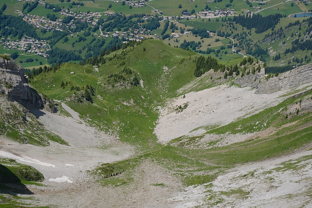
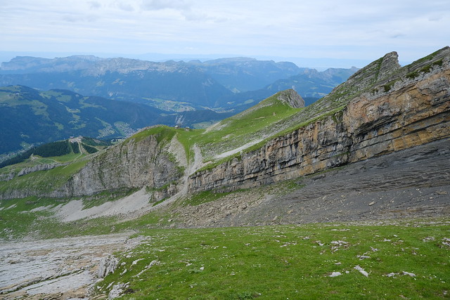
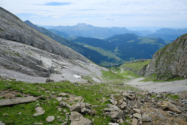
▲ At the bottom of Combe de Borderan. The summit of Aiguille de Borderan is barely visible at the back on the right side.
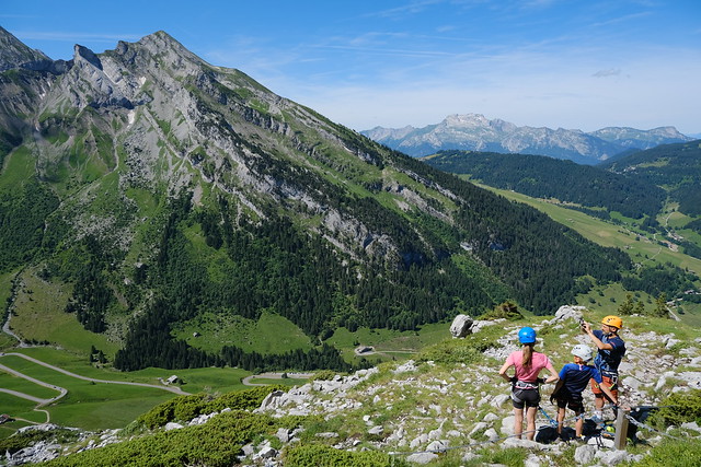
▲ Exit of the Via Ferrata.
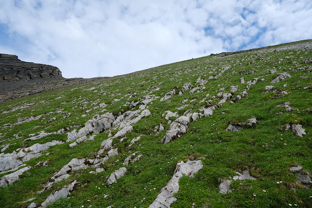
▲ Path through the grass to reach the edge of the cliff.
▲ Col des Aravis.
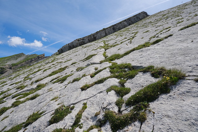
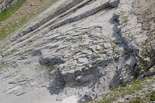
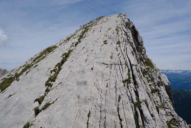
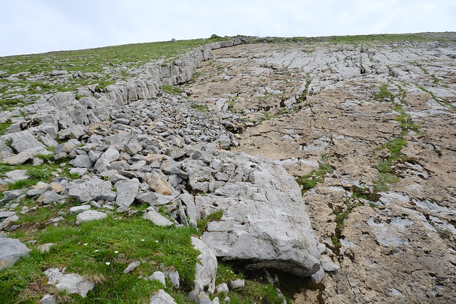
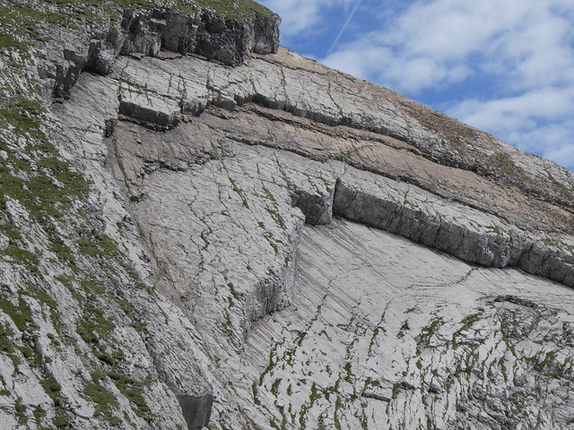
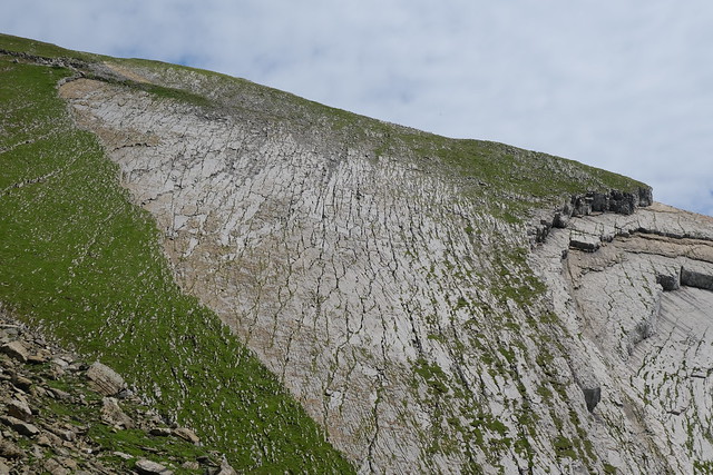
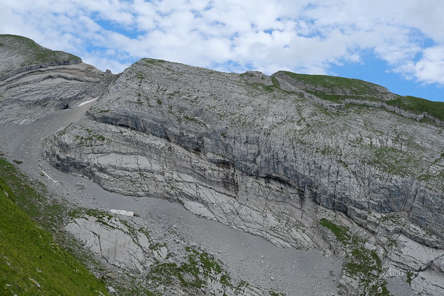
▲ Limestone slab to cross. There was a crack with grass to follow to reach the rock in the background (then need to go around).
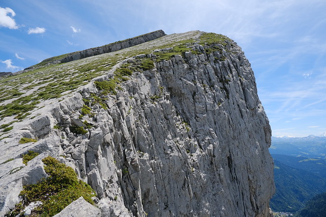
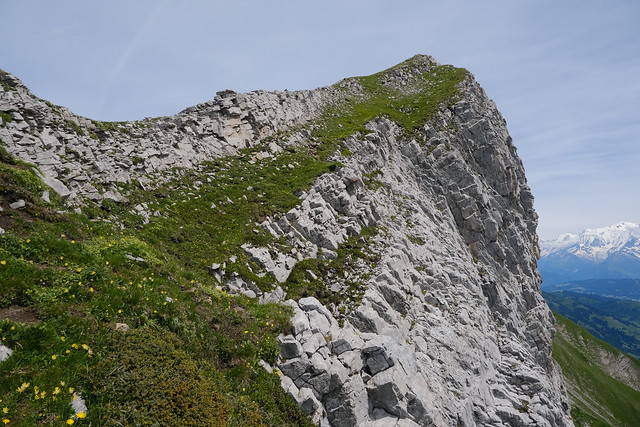
▲ Following the edge of the cliff towards the summit of Pointe des Aravis.
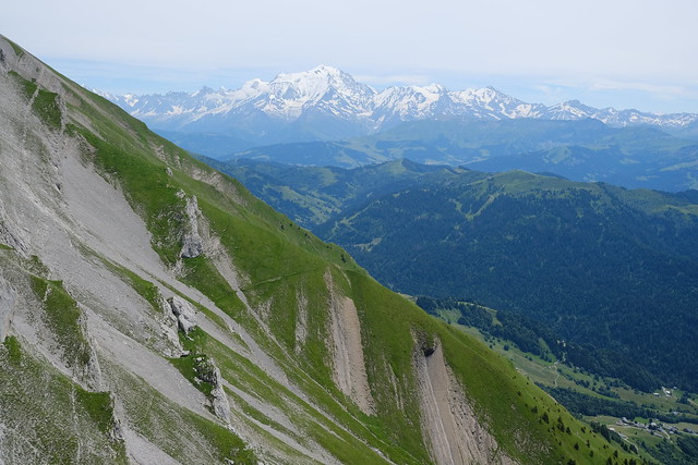
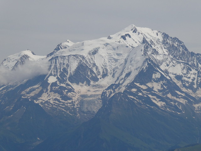
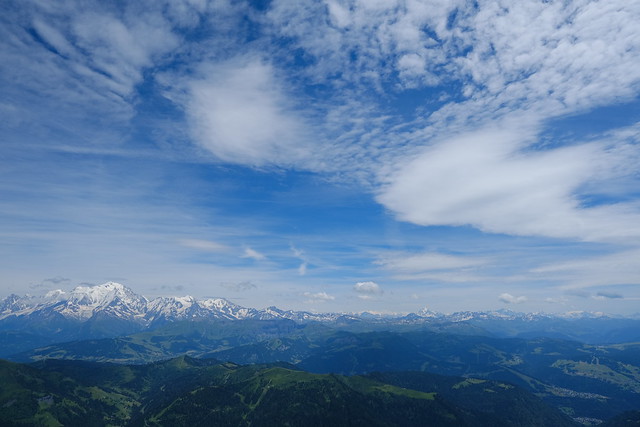
▲ Mont Blanc.
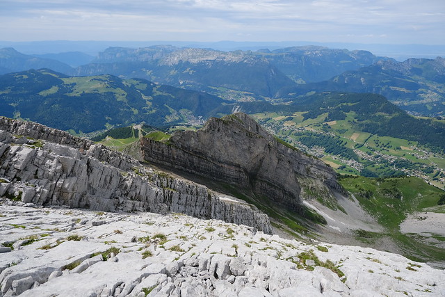
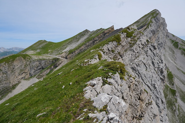
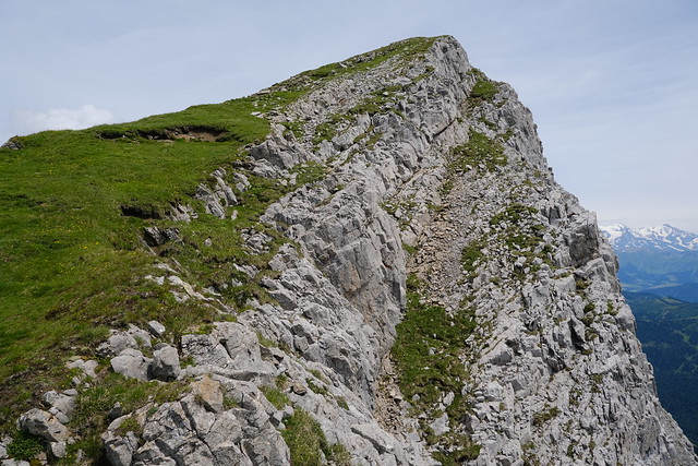
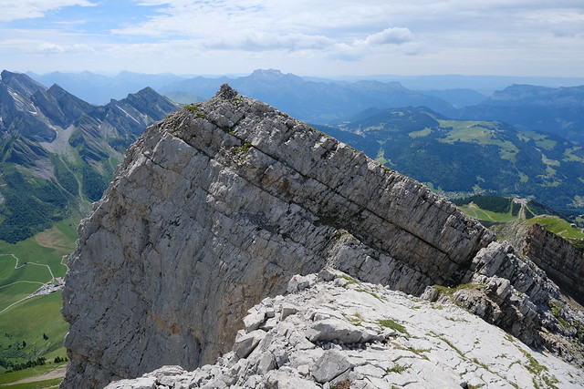
▲ At the summit of Pointe des Aravis, looking towards Aiguille de Borderan. The path goes through the grassy edge ahead.
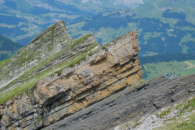
▲ The stone structure known as Église des Fées.
▲ Route de la Soif, below the south side of the Aravis.
▲ Aiguille des Calvaires on the other side of Combe de Borderan.
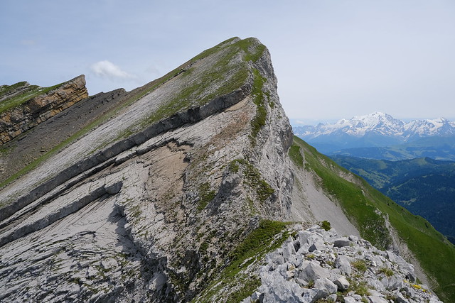
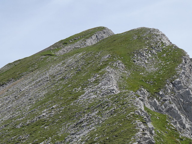
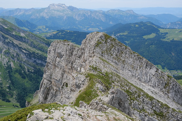
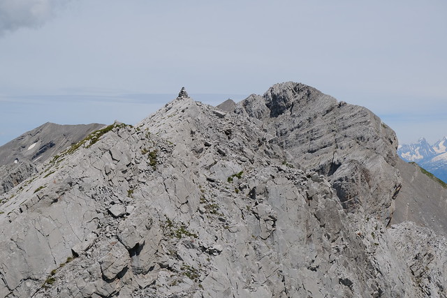
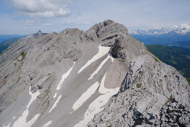
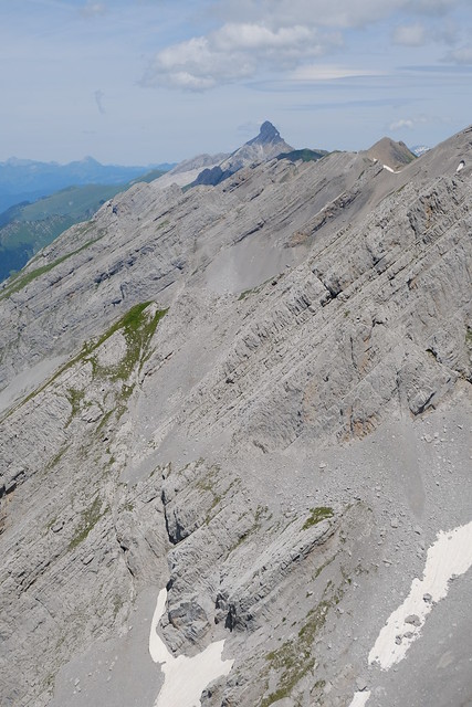
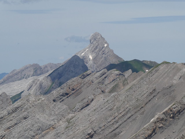
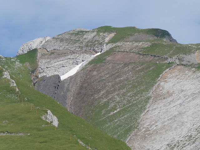
▲ Zoom towards the summit of Aiguille de Borderan.
▲ Mont Blanc.
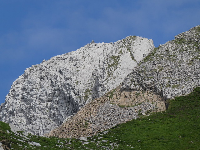
▲ The path passes on the right of that bump.
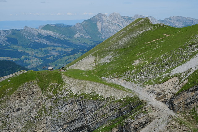
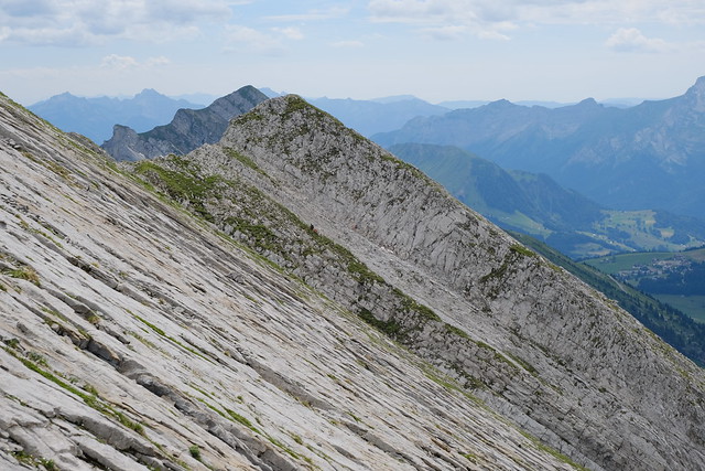
▲ Looking back at Pointe des Aravis.
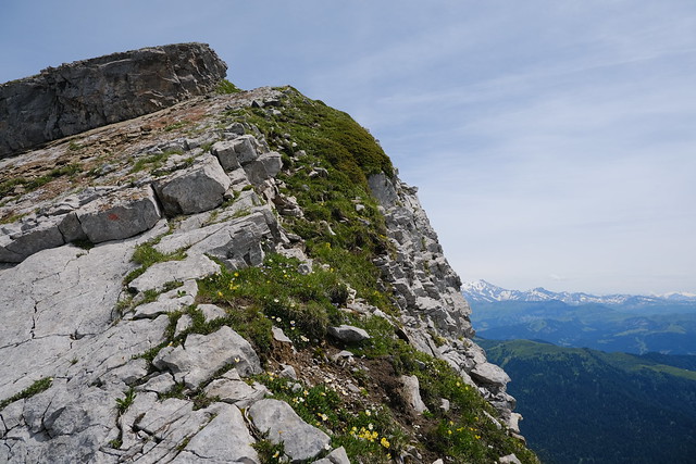
▲ Grass near the summit of Aiguille de Borderan.
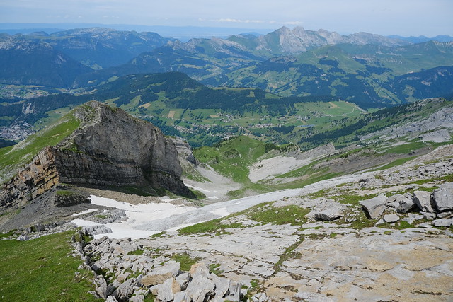
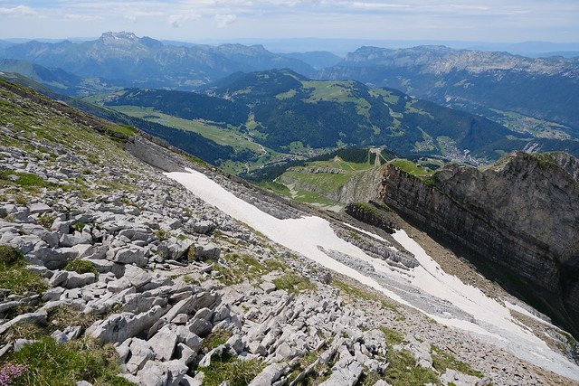
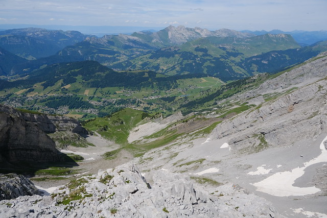
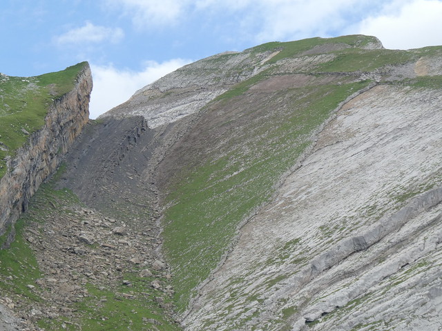
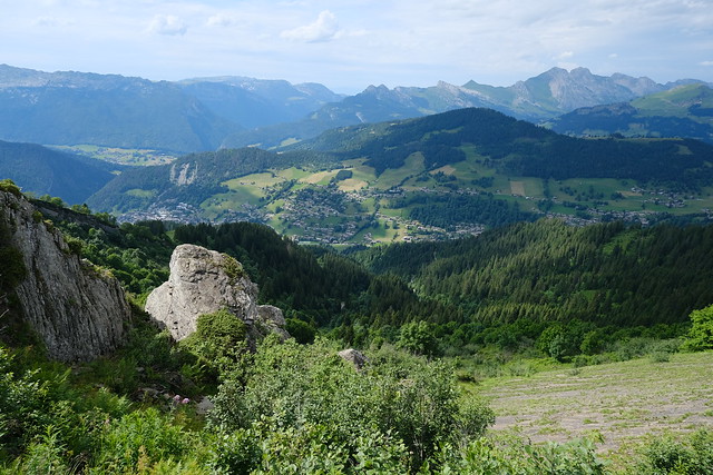
▲ Combe de Borderan.
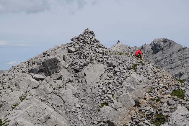
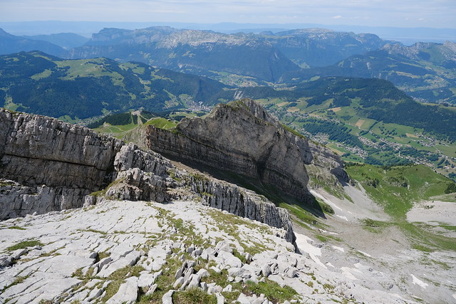
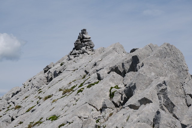
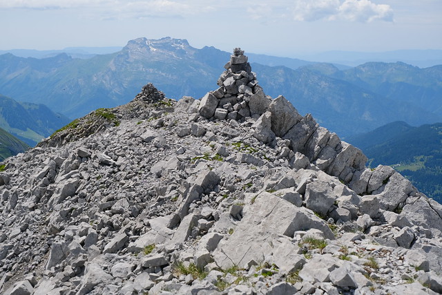
▲ Cairn at the western summit of Aiguille de Borderan. The cairn of the eastern summit is in the background.
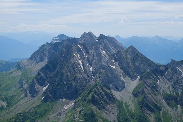
▲ Chaîne du Bargy.
▲ Eastern summit.
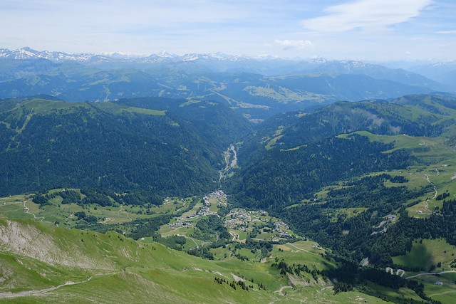
▲ La Giettaz below.
▲ L’Étale.
▲ Combe de la Creuse.
▲ Walking down to reach the start of the ascent to the eastern summit.
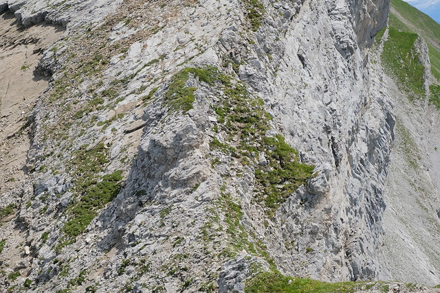
▲ Path to the eastern summit. The crack with grass needs to be followed.
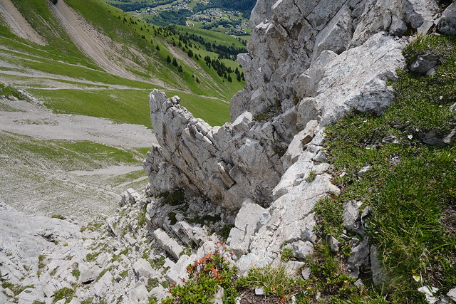
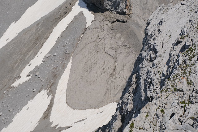
▲ Looking down after that passage.
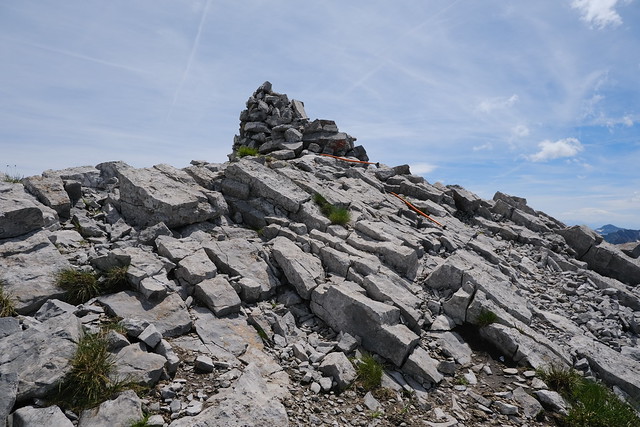
▲ Cairn of the eastern summit.
▲ Les Parrossaz and Porte des Aravis.
▲ Porte des Aravis.
▲ The cairns of the 2 summits, with La Tournette in the background.
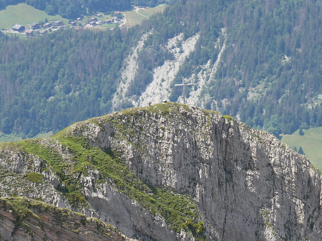
▲ Large cross of Aiguille des Calvaires.
▲ Pointe Percée.
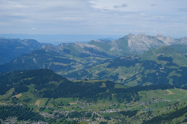
▲ Lake Geneva.
▲ On the way back.
▲ On the way to the steep grass slope.
▲ Going down to Combe de Borderan.
▲ The stone next to the grass.
▲ Pointe des Aravis.
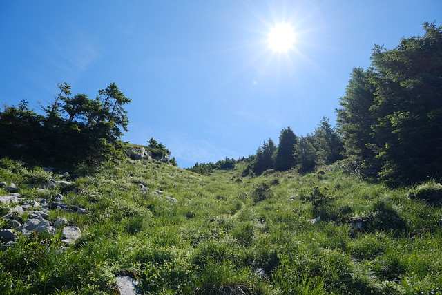
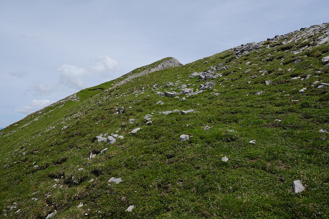
▲ Looking up.
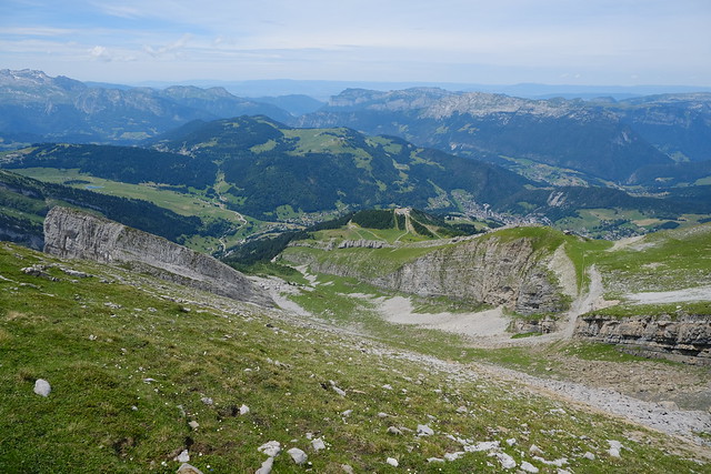
▲ Looking down Combe de Borderan.
▲ Église des Fées.
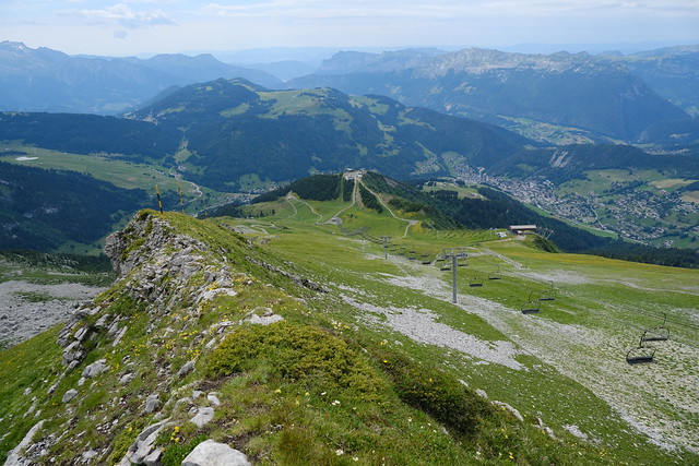
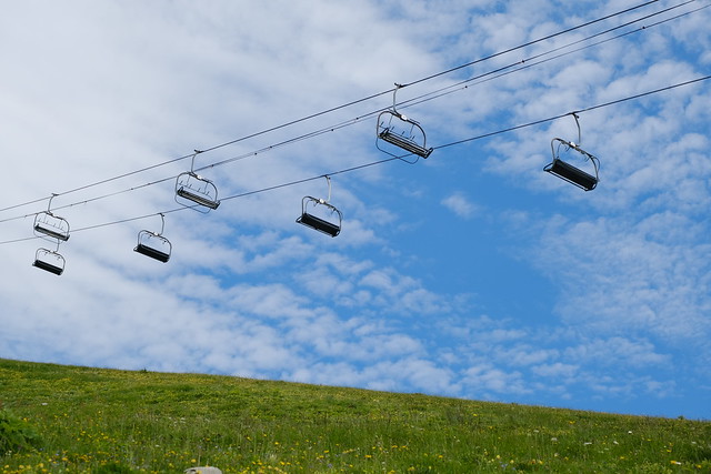
▲ I made a detour next to the chairlift hut.
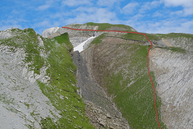
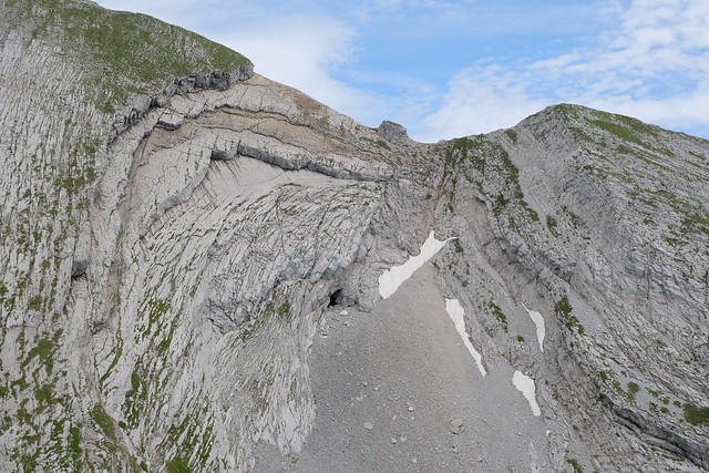
▲ Aiguille de Borderan. I highlighted the path I took, coming from the eastern summit, but there may be a marked path that is better.
▲ Eastern summit.
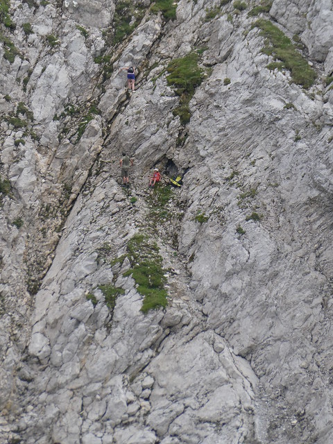
▲ I saw this family getting down from Église des Fées using an extremely precarious path (and no belaying). They had climbed through the rocks next to this to arrive just below Pointe des Aravis. Hopefully, they managed to get to Combe de Borderan safely.
▲ Église des Fées.
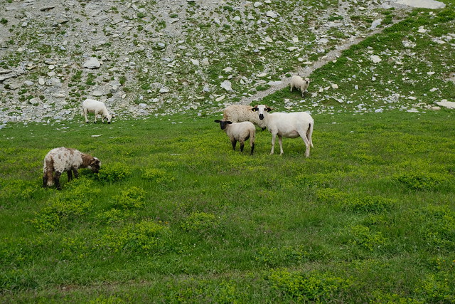
▲ Thônes-et-Marthod sheep.
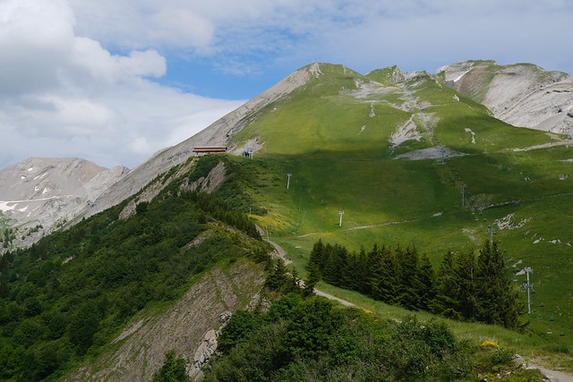
▲ Crêt du Loup.
▲ Pointe des Aravis.
▲ Aiguille de Borderan.
▲ Aiguille de Borderan.
▲ Aiguille des Calvaires and the path I had just taken.
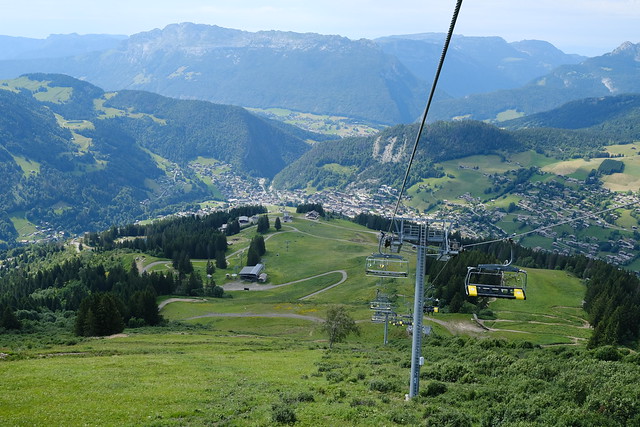
▲ On the way down to La Clusaz.
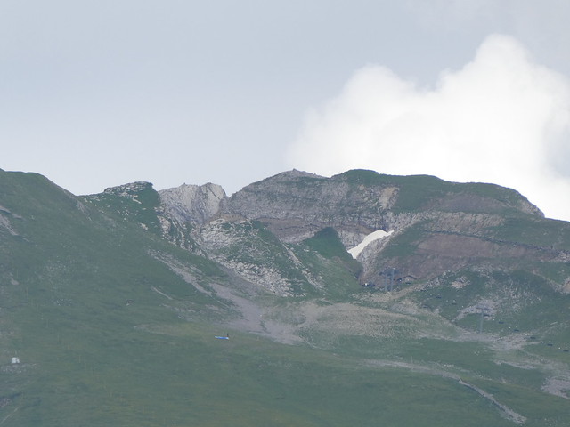
▲ View of the 2 summits of Aiguille de Borderan from La Clusaz.
