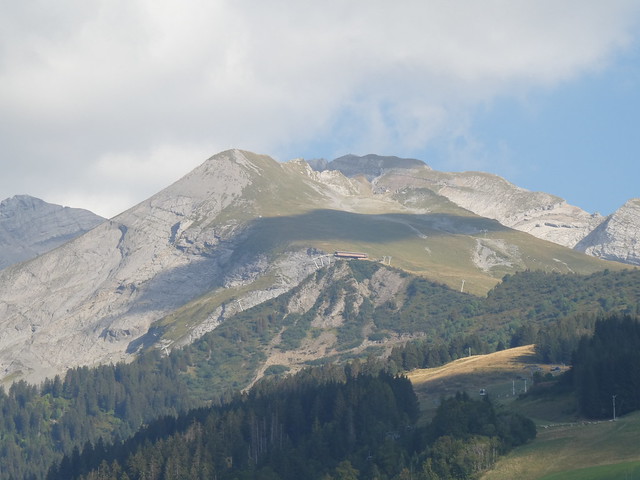
Hike to Porte des Aravis
Last summer, I went on a hike to Porte des Aravis, a pass located between Les Parrossaz and Aiguille de Borderan in the Aravis above La Clusaz.
Here is a map of the path I walked:
- Download path KML
- Download large map
- More photos on Flickr
- Day of the hike: September 9, 2023
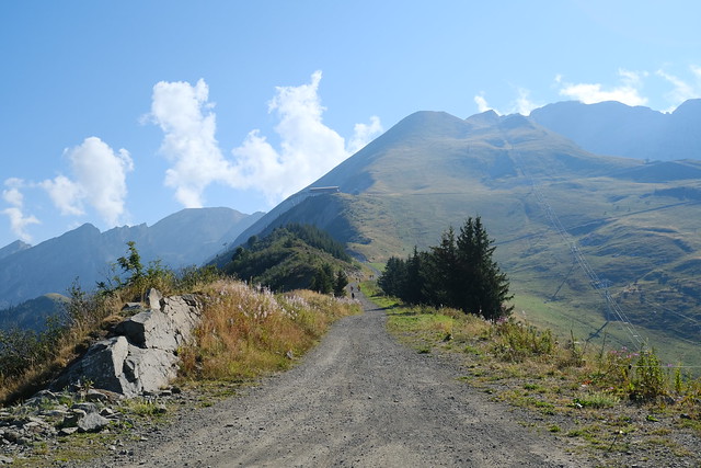
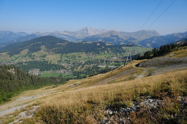
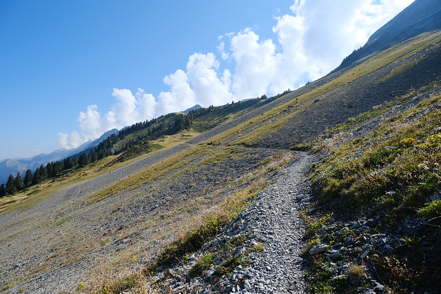
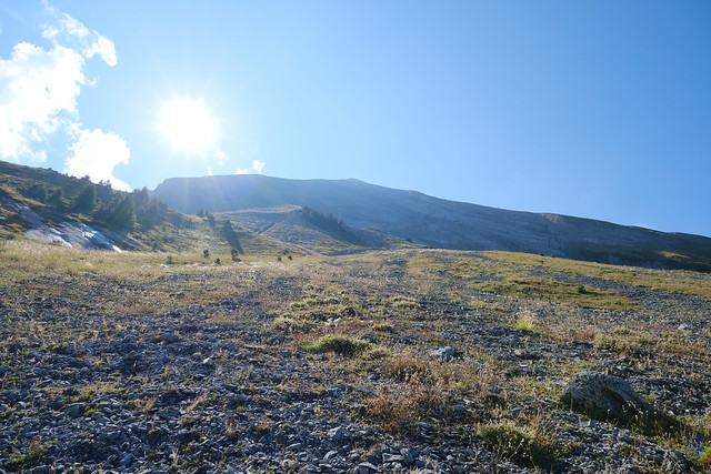
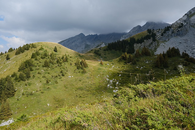
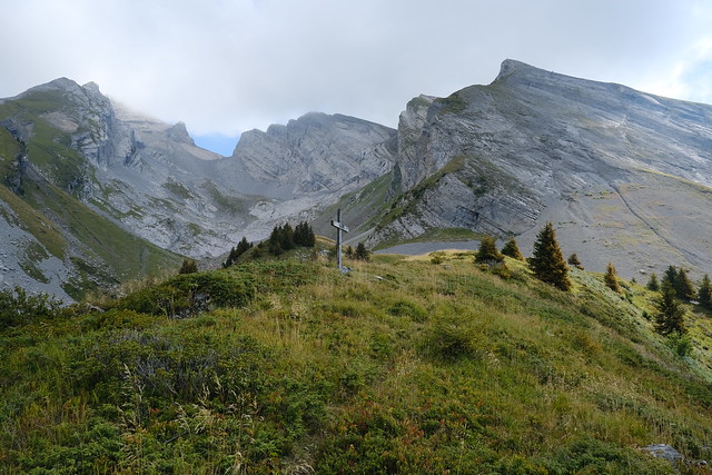
In the morning, I took a bus to La Clusaz. I then rode Télésiège du Crêt du Merle and Télésiège du Crêt du Loup to get to the start of the path. At first, I walked the easy trail to Combe de la Creuse, where I had already been before (photos). From the Combe, I followed the steep but straightforward trail to Porte des Aravis. There was a great view from the Porte. I then went down using the same path. At the bottom of Combe de la Creuse, I made a detour to Croix de la Creuse then walked back to the upper station of Télésiège du Crêt du Loup.
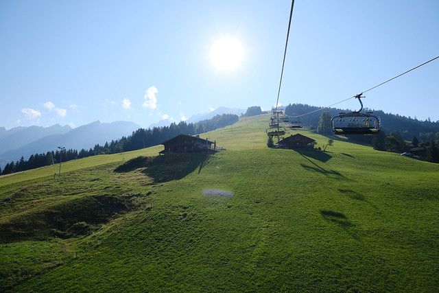
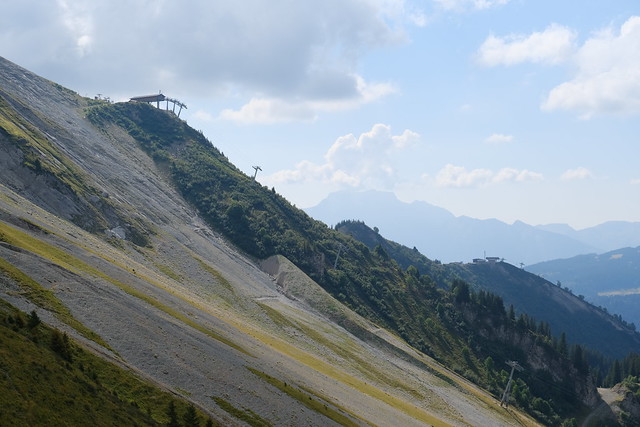
▲ Télésiège du Crêt du Merle.
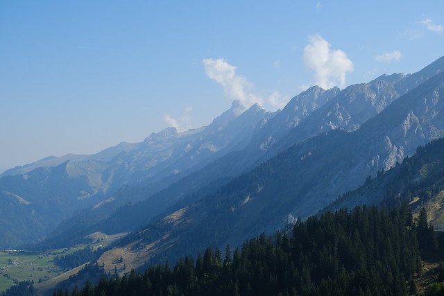
▲ Aravis.
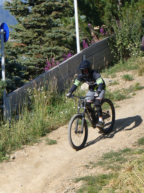
▲ Downhill mountain bike.
▲ Towards Combe de la Creuse, with Aiguille des Calvaires in the background.
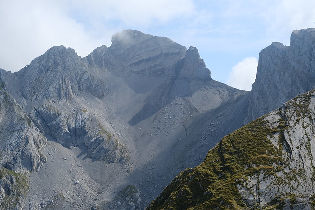
▲ Aiguille des Calvaires above.
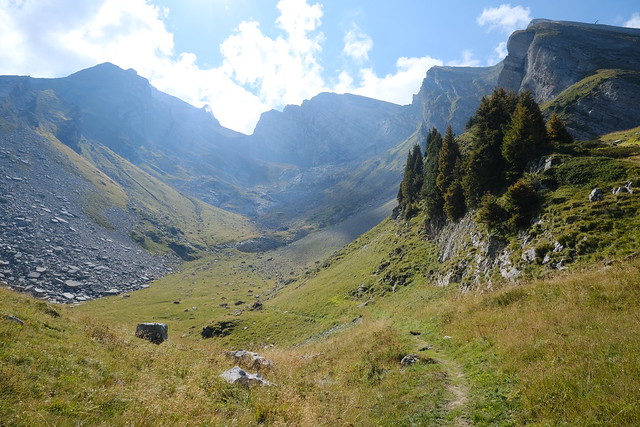
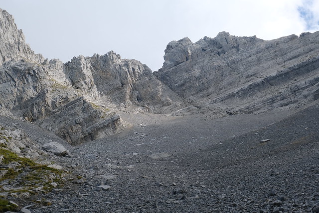
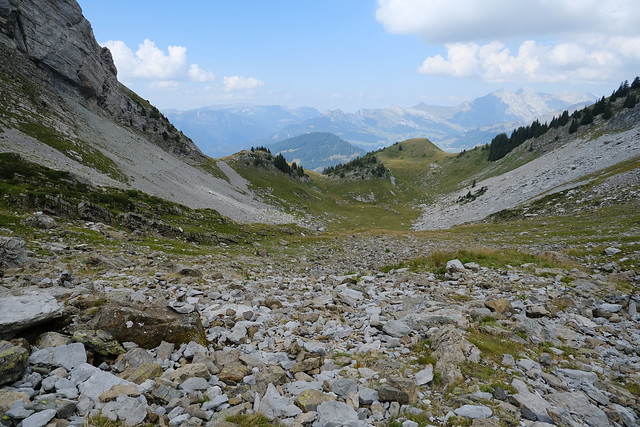
▲ Combe de la Creuse. Porte des Aravis is ahead.
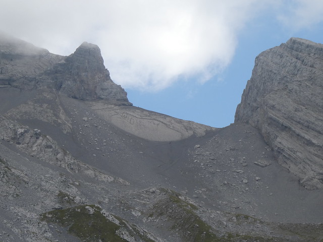
▲ Porte des Aravis.
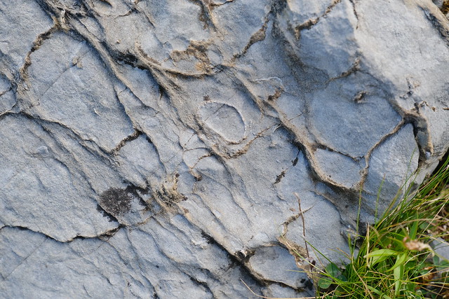
▲ Shellfish fossile.
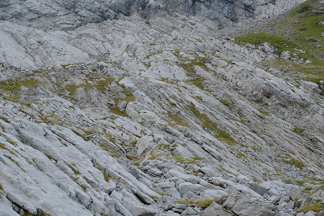
▲ Limestone.
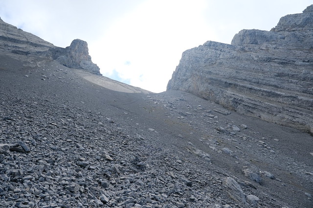
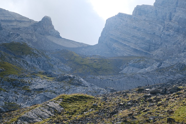
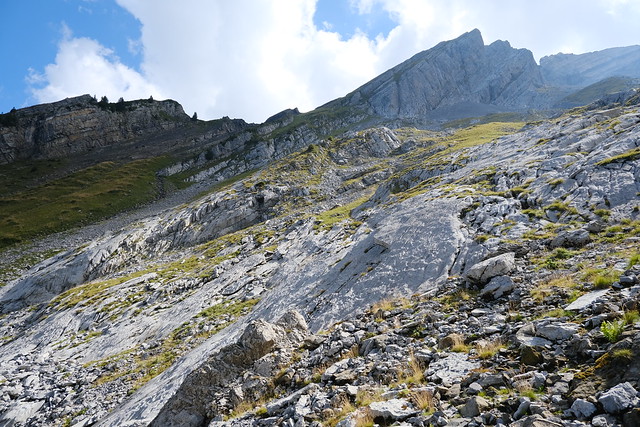
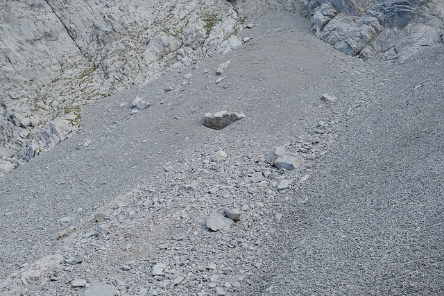
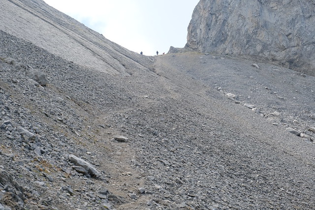
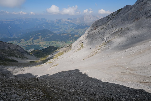
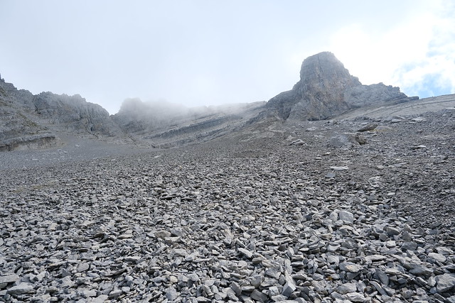
▲ Below Porte des Aravis.
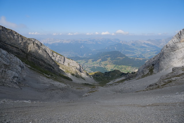
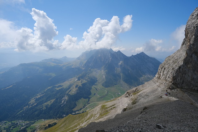
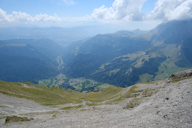
▲ At Porte des Aravis, looking down on Combe de la Creuse.
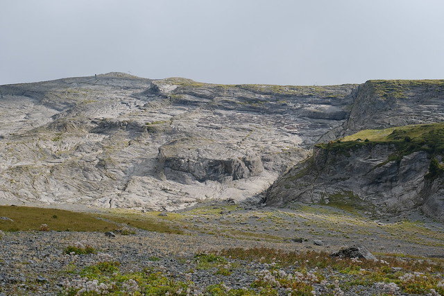
▲ Massive lens.
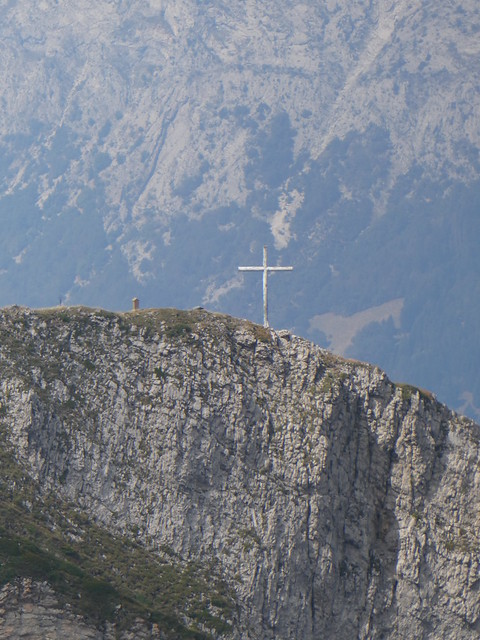
▲ Cross on Aiguille des Calvaires.
▲ Les Parrossaz and Porte des Aravis seen from Aiguille des Calvaires.
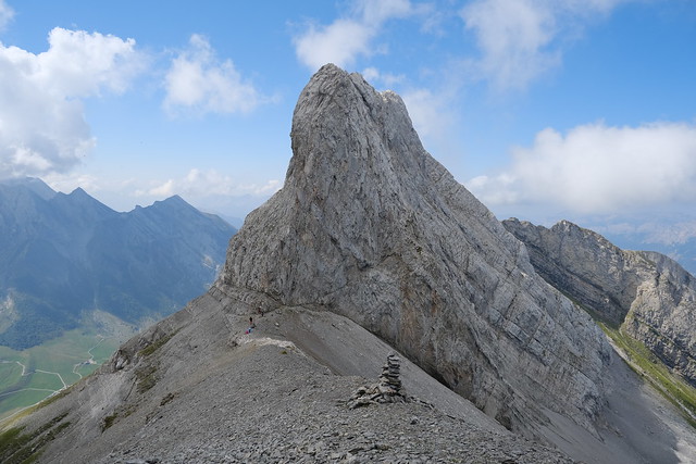
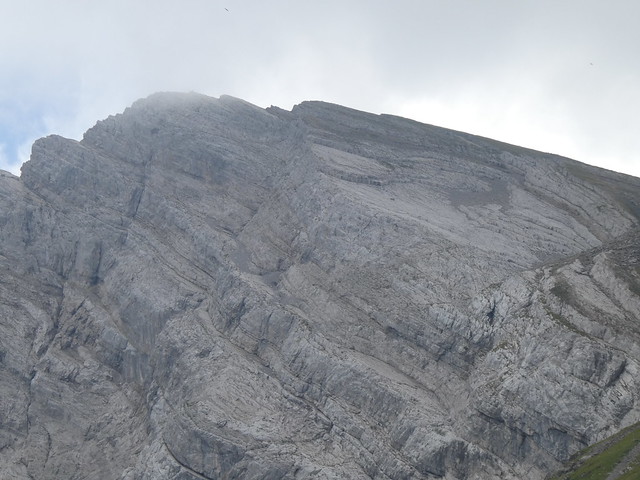
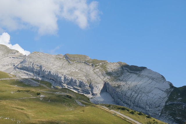
▲ Aiguille de Borderan.
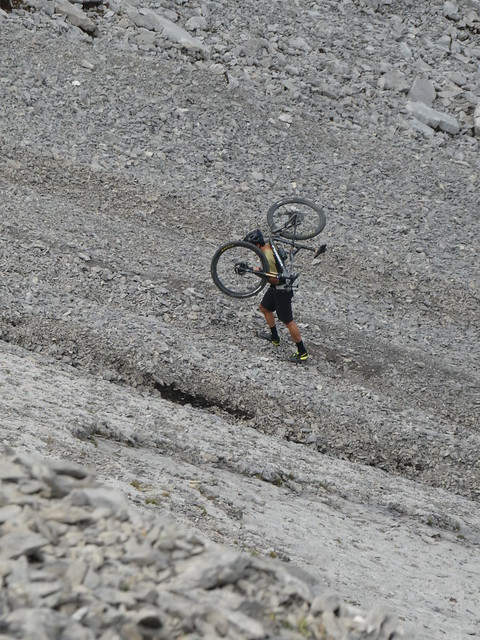
▲ Carrying his bike. Not sure it was wise, since the path was not smooth at all and probably not much fun even on the way down.
▲ L’Étale.
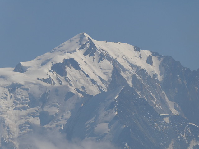
▲ Mont Blanc.
▲ Towards La Giettaz. There is an unofficial path to Porte des Aravis through the grass below, starting from Vierge du Châtelard.
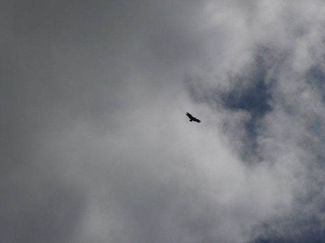
▲ Vulture.
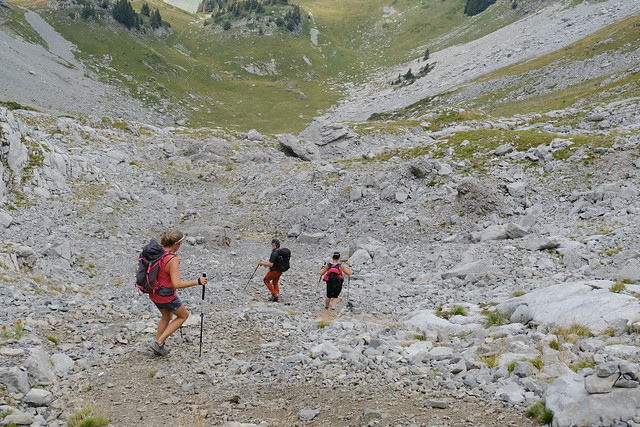
▲ On the way down.
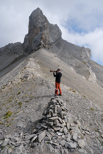
▲ The ridge towards Les Parrossaz.
▲ Porte des Aravis.
▲ Aiguille de Borderan.
▲ I made a detour to Croix de la Creuse.
▲ On the way back to Télésiège du Crêt du Loup, passing below Aiguille des Calvaires again.
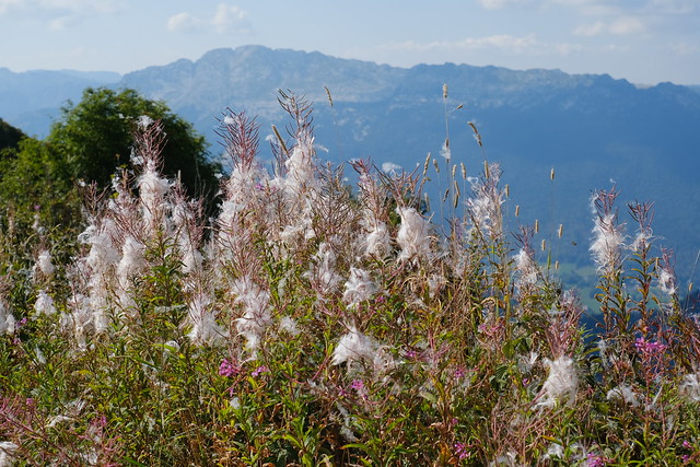
▲ Fireweed.
▲ Aiguille des Calvaires and Aiguille de Borderan.
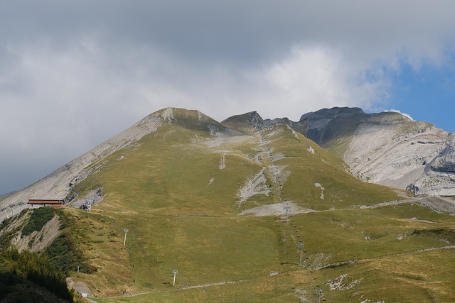
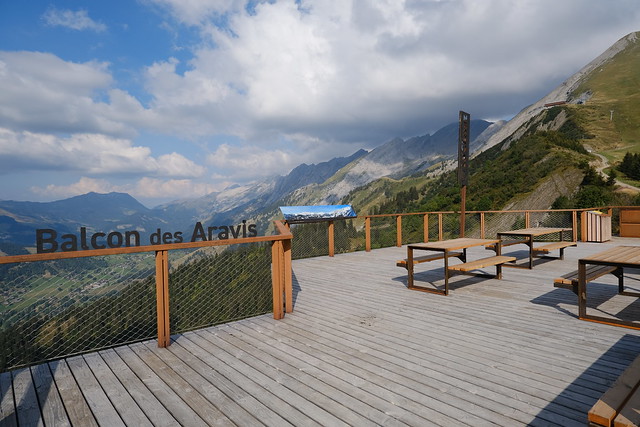
▲ “Balcon des Aravis” near the upper station of the chairlift.
▲ Pointe de la Blonnière and Dent du Chatelet.
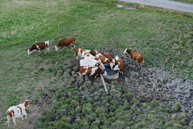
▲ Cows on the way down to La Clusaz.
▲ Aiguille de Borderan seen from the bus station of La Clusaz.
