Hike to Pierre Taillée & L'Enclave
In the spring of 2023, I went on a hike to L’Enclave, a mountain above Thorens.
Here is a map of the path I walked:
- Download path KML
- Download large map
- More photos on Flickr
- Day of the hike: May 27, 2023
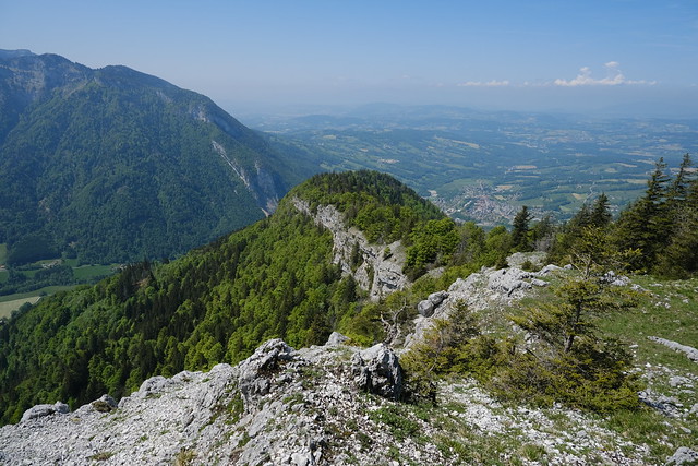
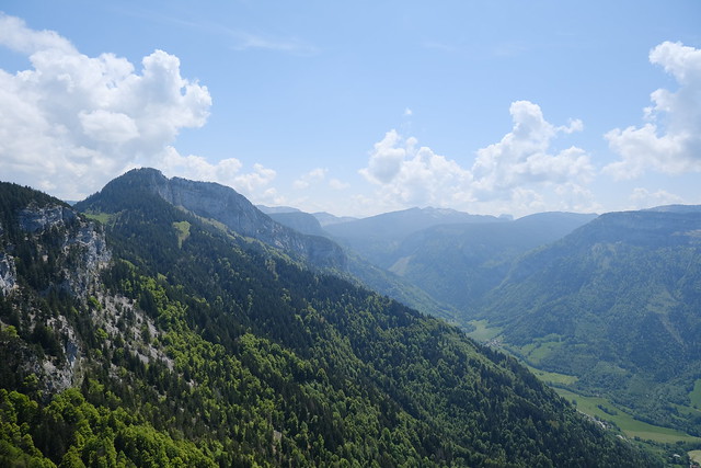
In the morning, I took a Sibra bus to Thorens. I then started walking to the hamlet of Usillon, towards Plateau des Glières. I then followed a dirt road to get below the cliff of Pierre Taillée and arrived at a smaller trail that led to Belvédère de Pierre Taillée. I then continued, off-trail at first, in the forest along the cliff. On the way, I found a small trail but it disappeared after a while. I then continued to the summit through the forest and along the cliff. There was a great view from the summit. On the way down, I walked along the cliff then found the small trail I had taken on the way up and followed it to La Vuettaz, where I found an official trail. I then walked towards the road to Thorens.
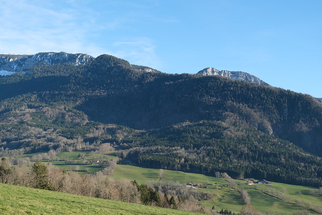
▲ On the way to Usillon.
▲ Fillière river.
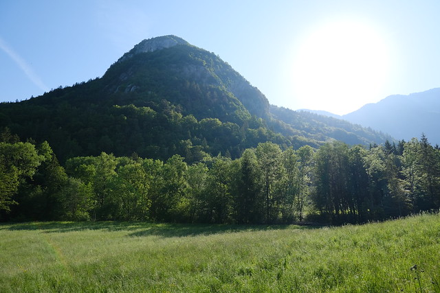
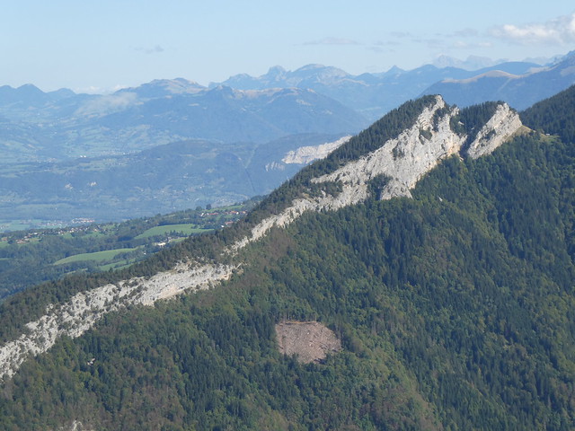
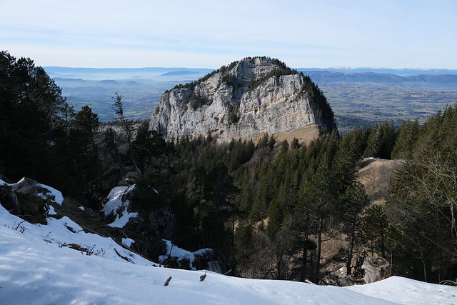
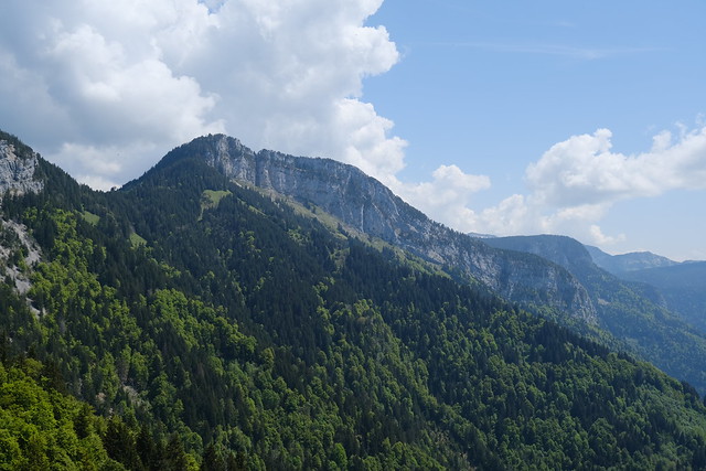
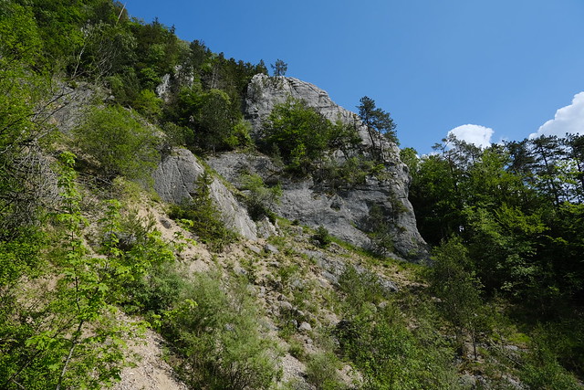
▲ Pierre Taillée.
▲ Pierre Taillée from the side.
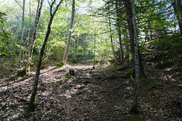
▲ Muddy dirt road in the forest on the way up from Usillon.
▲ I found the trail past the cliff.
▲ Belvédère de Pierre Taillée, looking towards Tête de Bunant (I went there later in 2023).
▲ View of Belvédère de Pierre Taillée and L’Enclave from Tête de Bunant.
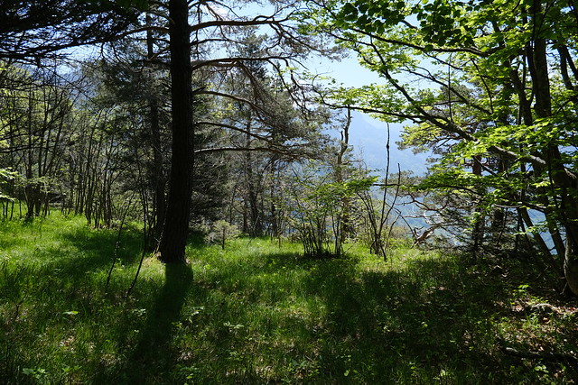
▲ As I was walking, I saw a cairn and a small trail that passed on top of the cliff in the forest. I followed it: It soon disappeared, but I kept going since the forest was not very dense.
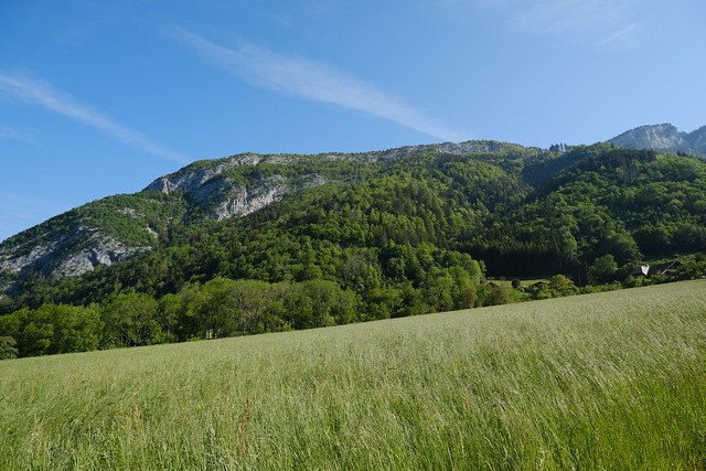
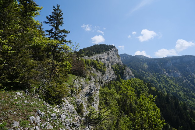
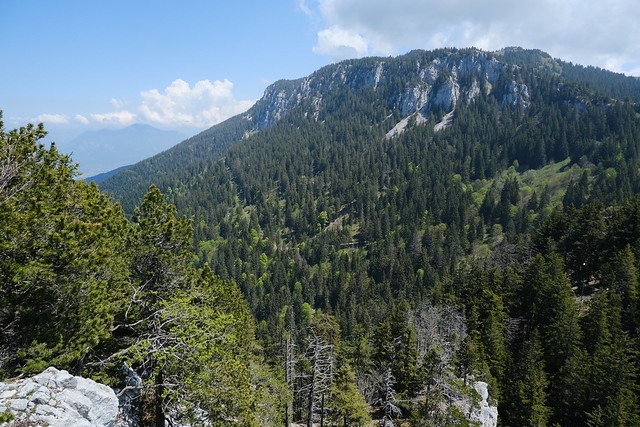
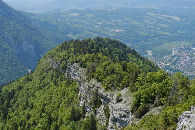
▲ Cliff of L’Enclave.
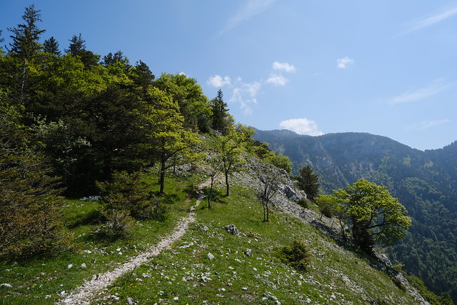
▲ At some point, I found a trail. I followed it up.
▲ Looking back towards Pierre Taillée.
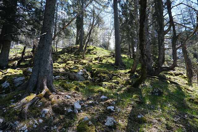
▲ The trail disappeared. Instead of continuing to walk along the cliff, I passed through the forest.
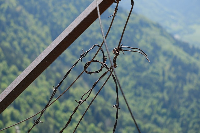
▲ Some old barbed wire. Maybe, the area used to be pasture.
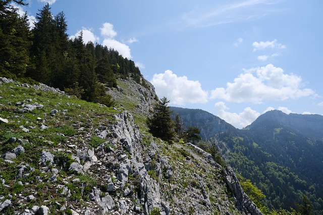
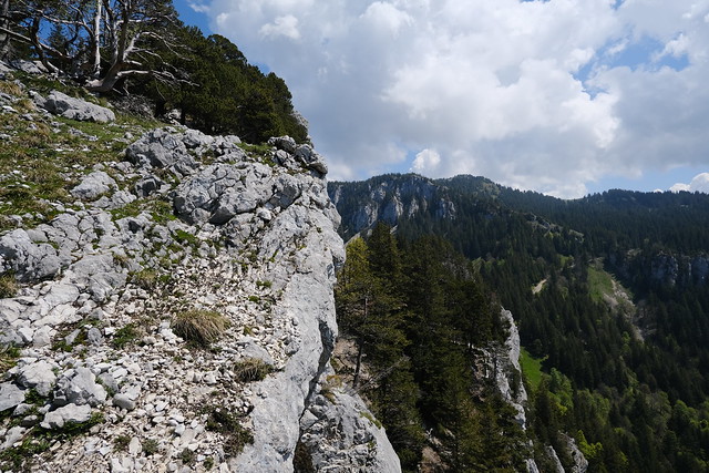
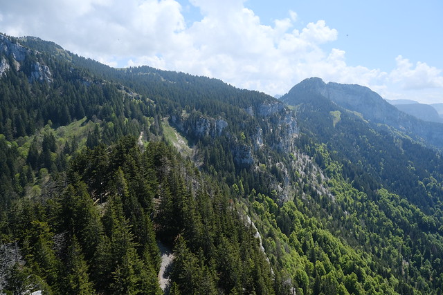
▲ I continued along the cliff.
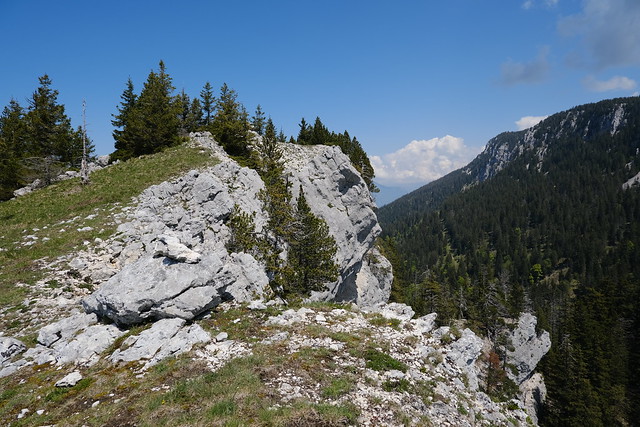
▲ Below the summit.
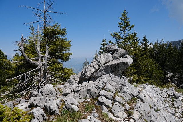
▲ Cairn at the summit.
▲ Combe d’Usillon.
▲ The summit of L’Enclave seen from Sentier du Bois Brûlé in Aviernoz.
▲ View towards Belvédère du Trou de la Pierre.
▲ View of L’Enclave from Belvédère du Trou de la Pierre.
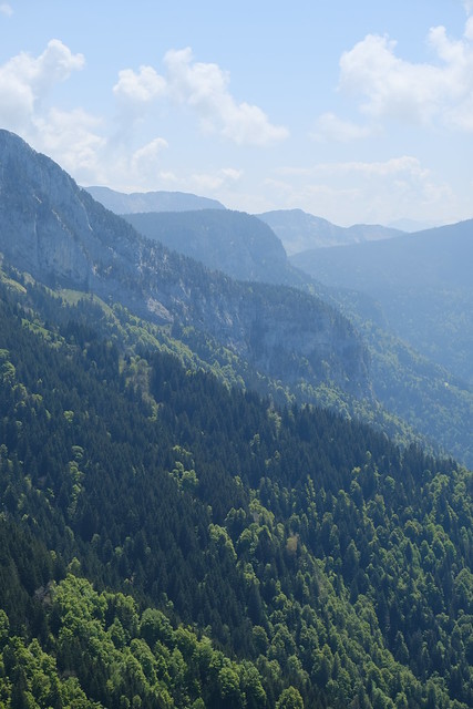
▲ Towards Montagne de Sous-Dîne.
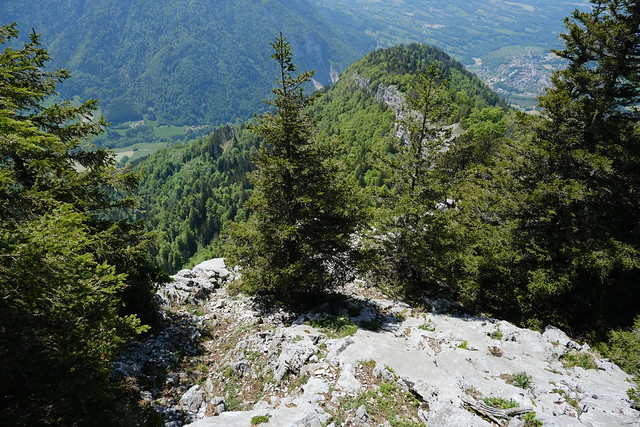
▲ Looking down in the direction of Col de l’Enclave (not visible).
▲ Chalet de l’Enclave at Col de l’Enclave, looking up.
▲ Shellfish fossile.
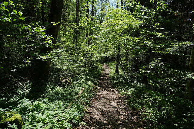
▲ On the way down, I followed the cliff. It turns out there was a small path.
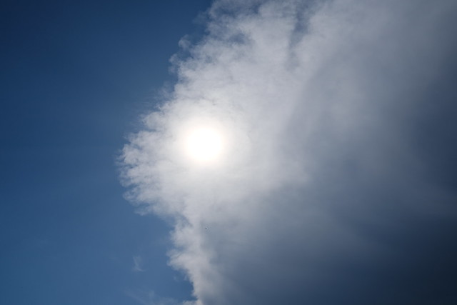
▲ Clouds.
▲ Pierre Taillée.
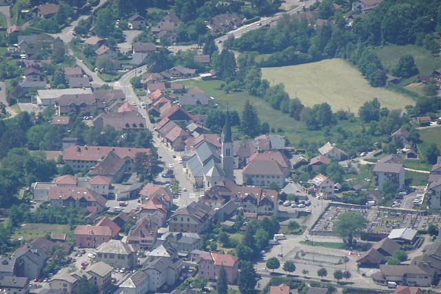
▲ Église Saint-Maurice-et-Saint-François-de-Sales in Thorens.
▲ View of L’Enclave from above Thorens.
▲ At some point, I found the trail I took on the way up and I followed it down to La Vuettaz.
▲ La Vuettaz.
▲ Wild garlic.
▲ Below the climbing site of Pierre Taillée.
▲ Pierre Taillée from the road to Thorens.
