Hike to Crêt Couturier & Roche Blanche
A few weeks ago, I went on a hike to Roche Blanche above Thônes. There are a few mountains called Roche Blanche (or some variations like Rocher Blanc) in the area and I have been on a quest to climb them. I couldn’t find a guide online about this mountain but it was easy enough to get there (there were a few hand-made signs showing direction). On the way, I also visited Crêt Couturier.
Here is a map of the path I walked:
- Download path KML
- Download large map
- More photos on Flickr
- Day of the hike: April 14, 2024
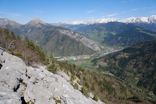
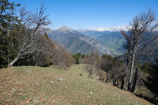
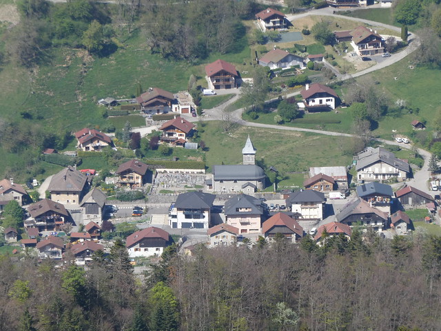
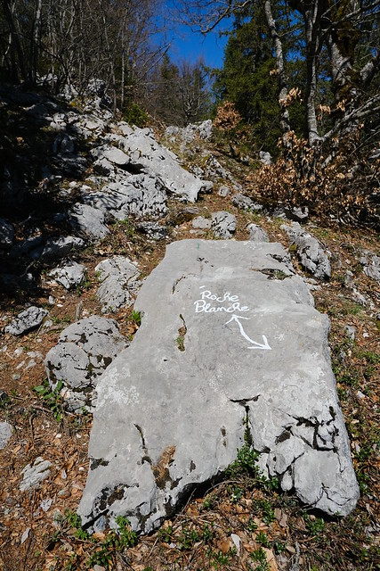
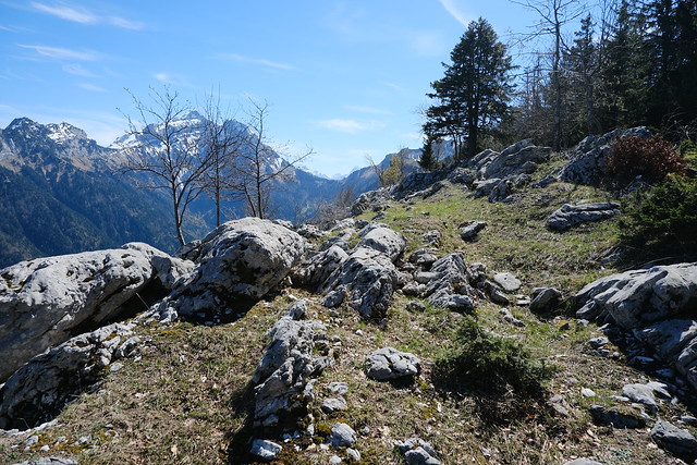
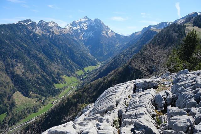
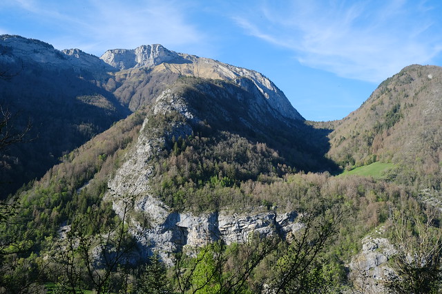
In the morning, I took the bus (Car Région Y62) to Morette in Thônes. I first crossed the Fier then walked on a path alongside it until Bellossier. I then went up the road of Valley the Montremont. At some point, I found the steep trail that goes to the pasture of Larrieux. From there, I walked to the summit of Crêt Couturier and made a detour on the ridge (Arête Couturier) towards Crêt de Pézollet, until it was blocked by a rocky section. I then went down towards Chalet de la Fontanette where the trail to Roche Blanche starts. There were some signs and painted marks showing direction. At La Roche Blanche, there was a great view on Thônes and Vallée de Montremont. Mont Blanc could also be seen. After that, I walked down Vallon du Cruet back to Morette.
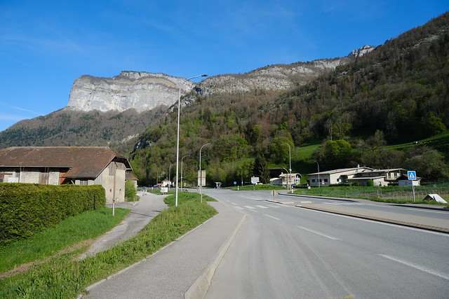
▲ At the Thônes - Morette bus stop, looking towards Tête à Turpin.
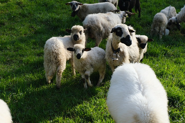
▲ Thônes-et-Marthod sheep.
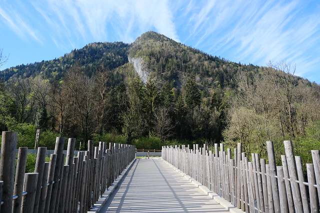
▲ Crossing the Fier on Passerelle de Morette.
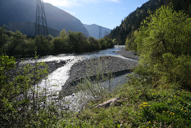
▲ Fier river. I walked alongside it to reach Vallée de Montremont.
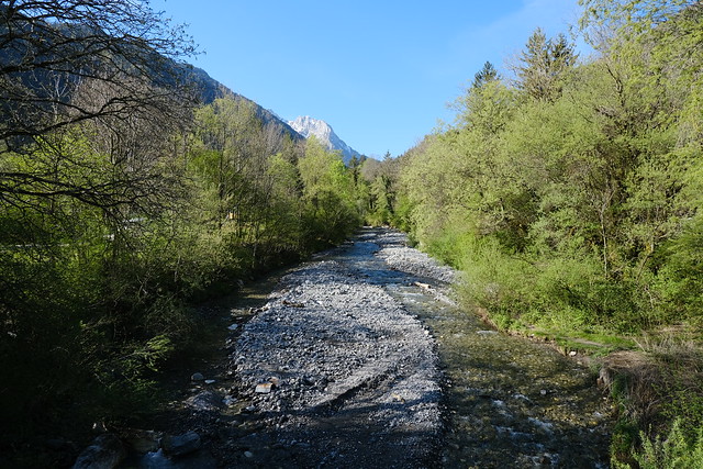
▲ Malnant river, which flows into the Fier.
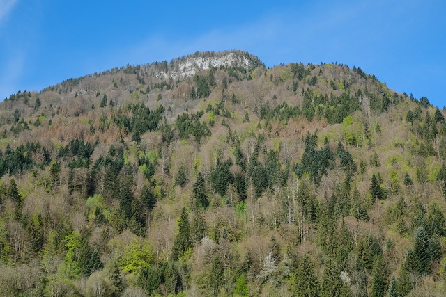
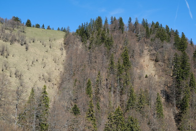
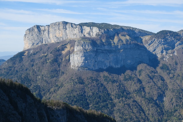
▲ Roche Blanche above.
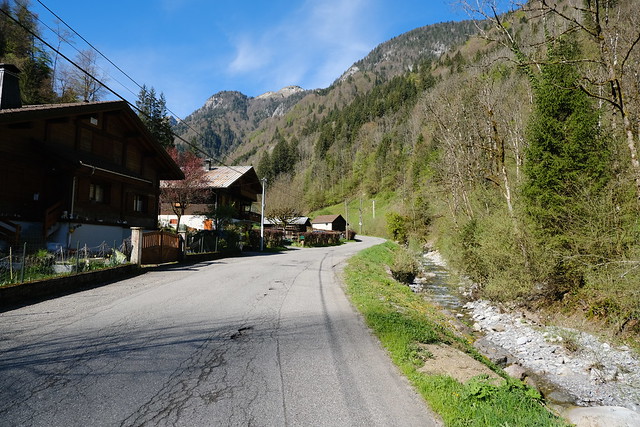
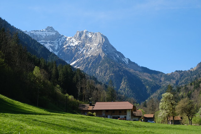
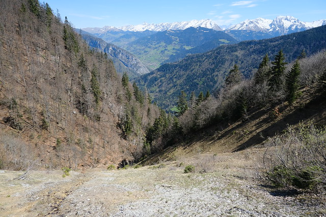
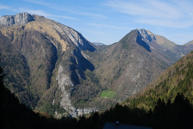
▲ Vallée de Montremont.
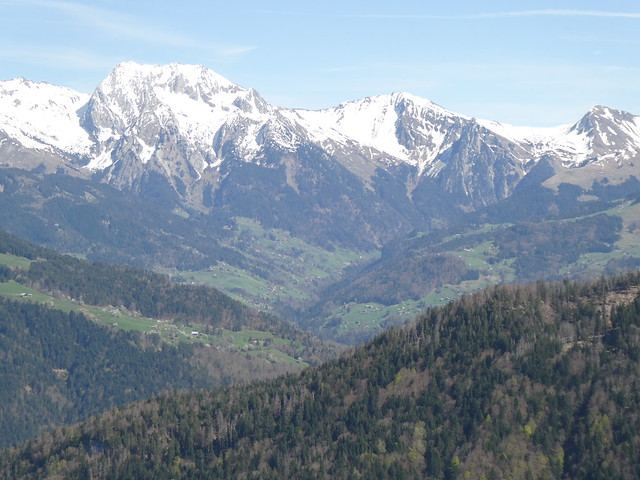
▲ Rochers du Varo and Col des Nantets.
▲ Malnant.
▲ On the steep trail to Larrieux.
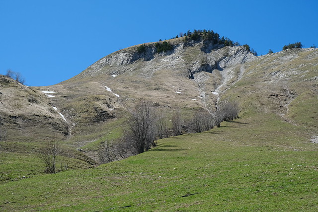
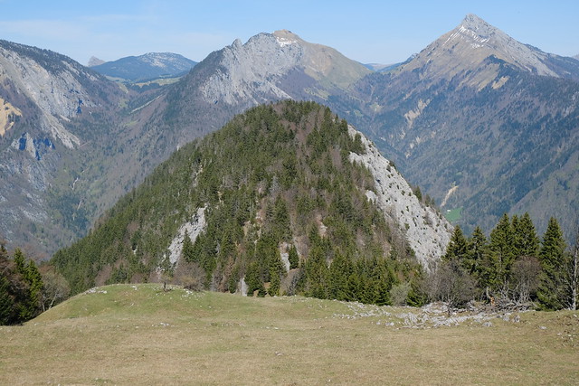
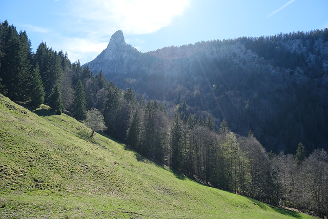
▲ At the pasture of Larrieux, looking up to Crêt de Pézollet. I went to its summit last year (photos).
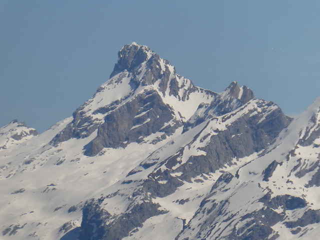
▲ Pointe Percée.
▲ Crêt Couturier.
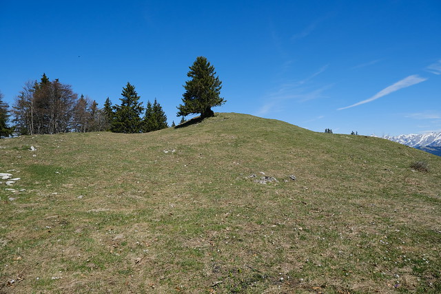
▲ Summit of Crêt Couturier.
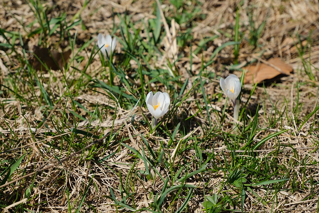
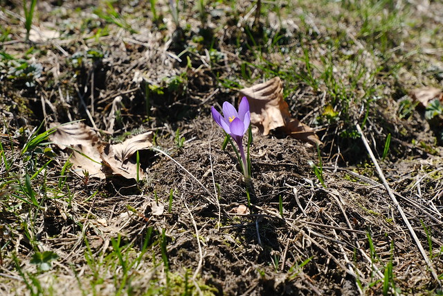
▲ Crocus.
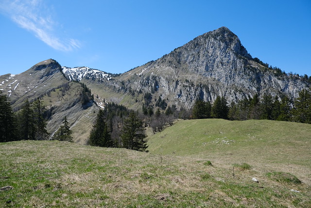
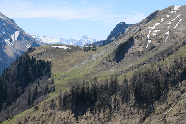
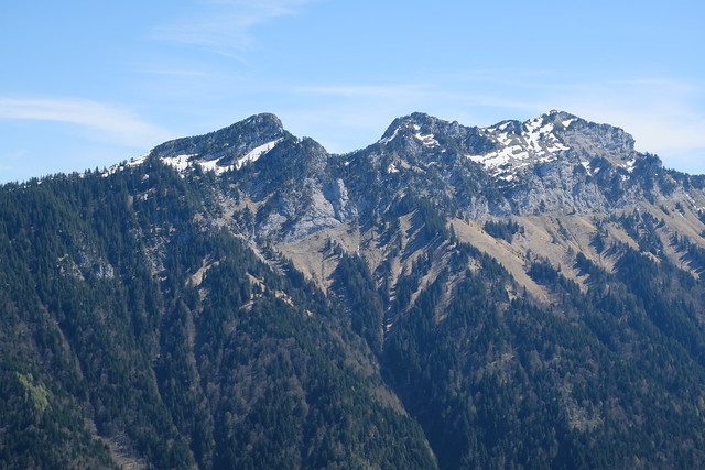
▲ Crêt de Pézollet and Dent du Cruet.
▲ Refuge de Larrieux.
▲ Col des Frêtes de Rosairy, Rochers des Tours and Rochers du Varo.
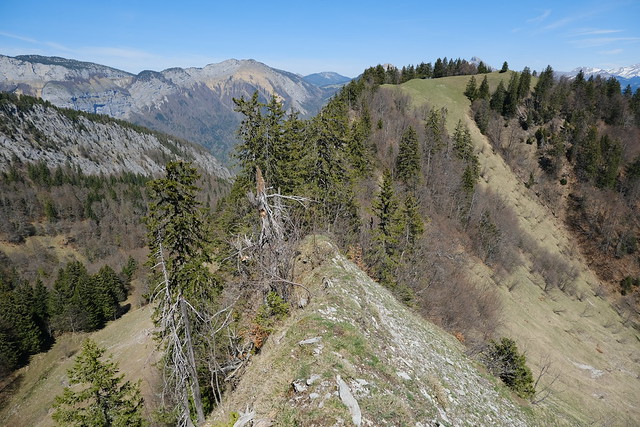
▲ I walked on the ridge towards Crêt de Pézollet (Arête Couturier).
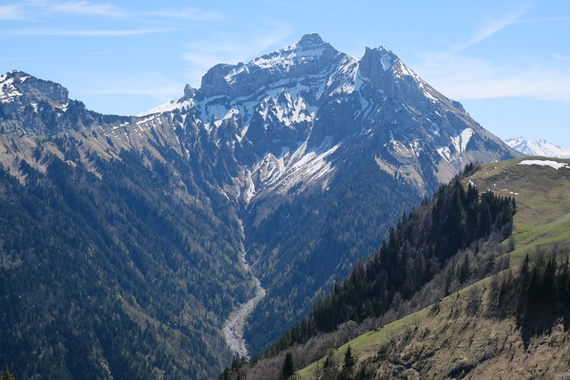
▲ Dent du Cruet.
▲ I stopped there. It doesn’t seem possible to go further.
▲ Walking back to Crêt Couturier.
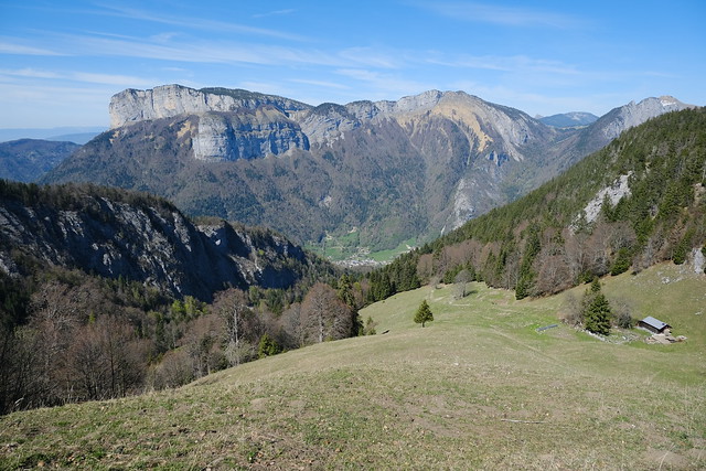
▲ Rocher de Belchamp and Montagne de Cotagne.
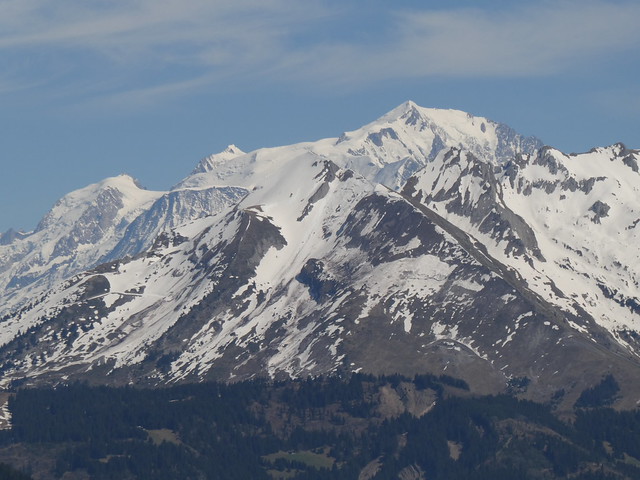
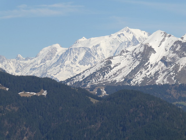
▲ Pointe de Merdassier and Mont Blanc.
▲ I walked down through the pasture.
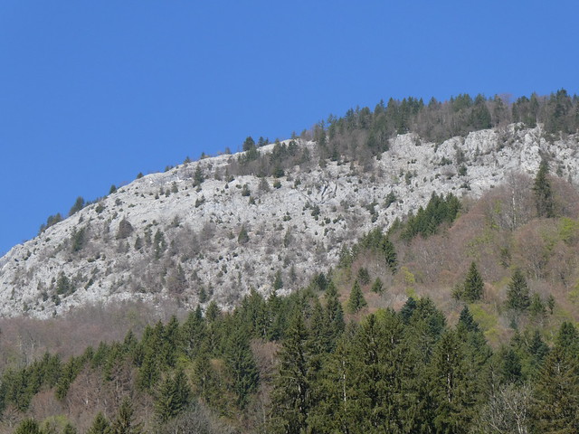
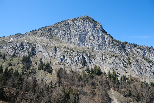
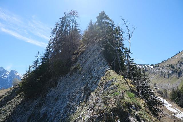
▲ Roche Blanche.
▲ Above Chalet de la Fontanette, looking towards Mont Téret and Tête de l’Arpettaz.
▲ La Balme de Thuy below.
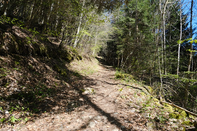
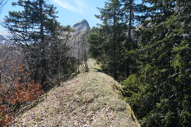
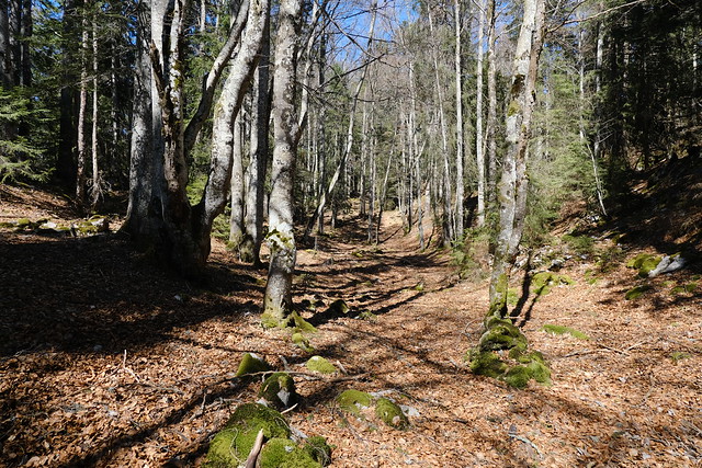
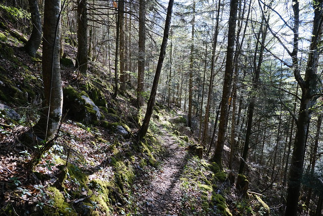
▲ On the trail to Roche Blanche. There were a few signs and cairns. In any case, the ridge is pretty narrow so it is not hard to follow. According to the signs, there is also a path this way to Bellossier in the valley (although it is not marked on the maps and I haven’t seen it mentioned anywhere).
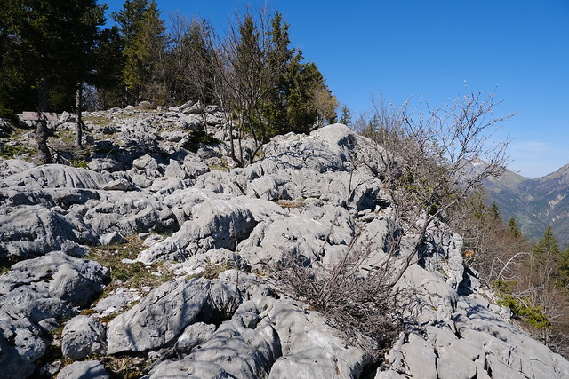
▲ At the summit of Roche Blanche. I walked down the limestone until the sign marked “Belvédère de la Roche Blanche” (there is also a direct path but I misunderstood the guidepost).
▲ Thônes.
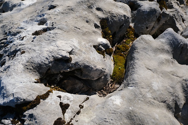
▲ Limestone at Belvédère de la Roche Blanche.
▲ Vallée de Montremont and Col des Nantets.
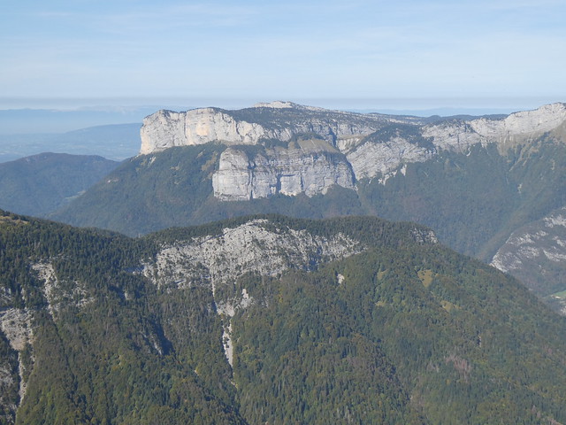
▲ Roche Blanche seen from the summit of Rocher de Belchamp.
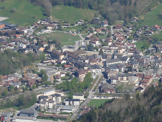
▲ The center of Thônes.
▲ Aravis.
▲ Mont Blanc.
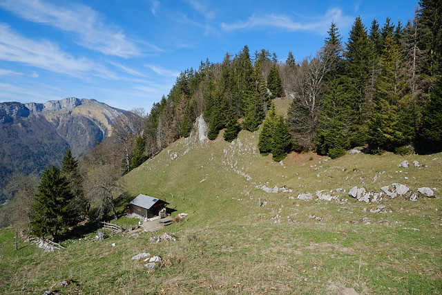
▲ Back at Chalet de la Fontanette.
▲ Tête à Turpin.
▲ Dent du Cruet.
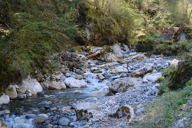
▲ Nant du Cruet.
▲ View towards Plateau des Glières from Chalet Le Lindion.
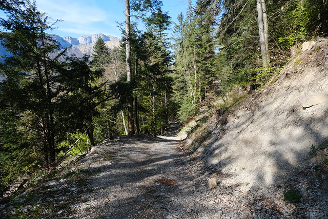
▲ Dirt road.
▲ I took a detour on a trail at some point (Sentier du Collioud).
▲ Arpettaz de Thuy on the other side of the Fier.
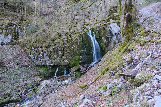
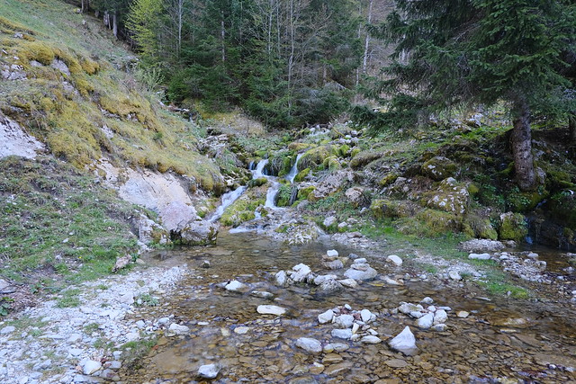
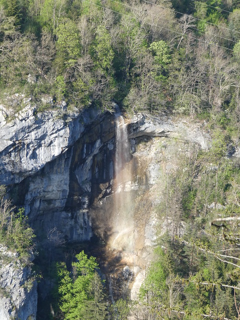
▲ One of the Cascades de Morette.
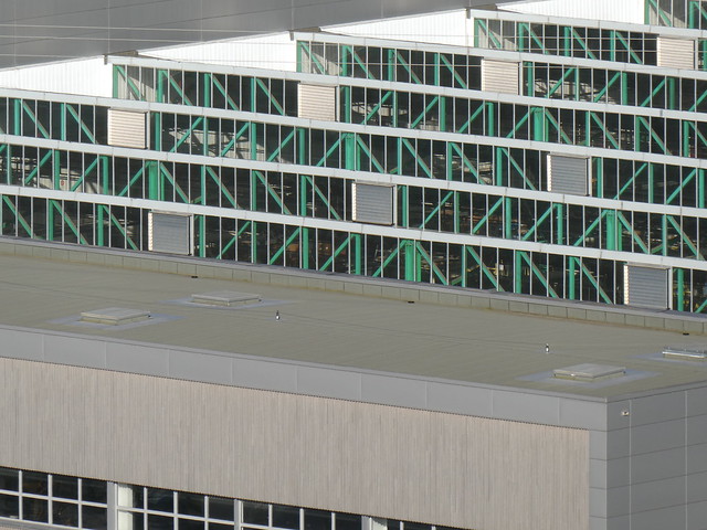
▲ Mobalpa factory.
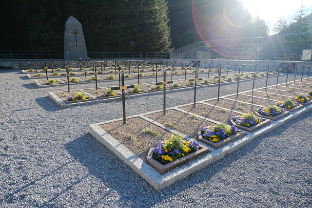
▲ Since there was some time before the bus, I made a detour to Cimetière de Morette. There were fresh flowers on the tombs since there had been a ceremony recently.
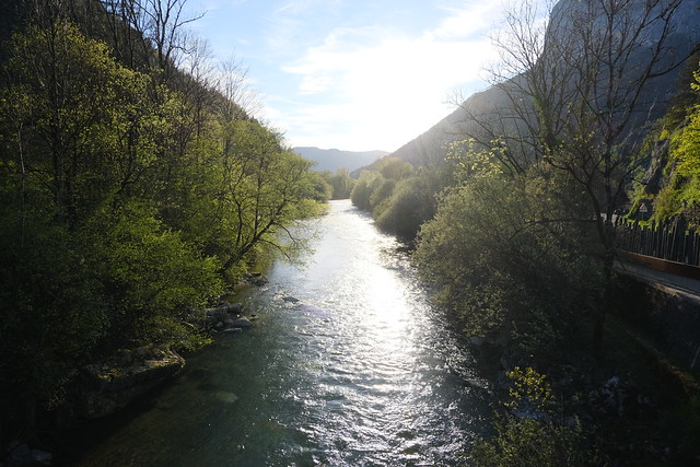
▲ Crossing the Fier towards the bus stop.
