Hike to Le Brévent through Montagne de la Coquille
Last summer, I walked a loop in Chamonix: Starting from Le Brévent, I went down to Lac du Brévent then crossed Ravin du Brévent in order to reach Montagne de la Coquille. From there, I walked back up again to Le Brévent.
Here is a map of the path I walked:
- Download path KML
- Download large map
- More photos on Flickr
- Day of the hike: September 6, 2023
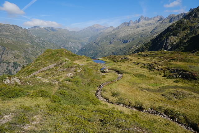
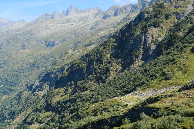
In the morning, I took a train to Chamonix, then boarded Télécabine de Planpraz and Téléphérique du Brévent in order to reach Le Brévent. When I arrived, I didn’t make a detour to the summit platform but went down directly towards Lac du Brévent. From the lake, I walked to Col de Bellachat, like when I had been to Aiguillette des Houches. This time, instead, I walked a small trail towards one of the dams in Réserve Naturelle de Carlaveyron. At the dam, I found a small trail to cross Ravin du Brévent. Then I had to pass through a dense forest. When I emerged, I walked a narrow path below a cliff in order to finally reach Montagne de la Coquille.
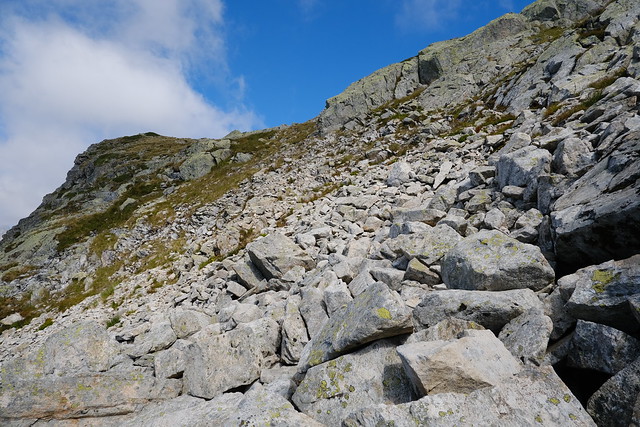
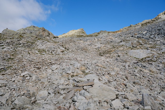
From there, I followed a small trail for a little bit then started on the way up off-trail in the direction of Le Brévent. It was steep but not very difficult. After a while, I reached the dirt road that passes below Le Brévent and walked to the summit. After I rested, I went down to Chamonix using the cable car.
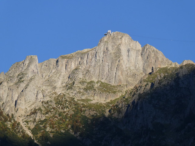
▲ Le Brévent seen from Chamonix.
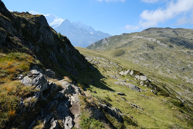
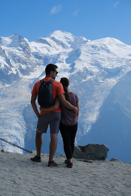
▲ Mont Blanc seen from Le Brévent.
▲ Réserve Naturelle de Carlaveyron.
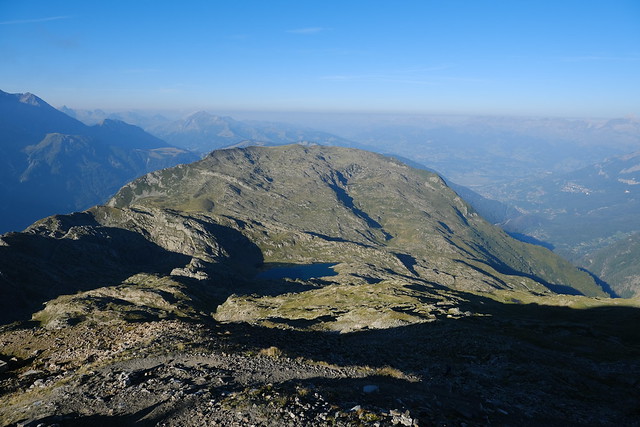
▲ On the way down to Lac du Brévent.
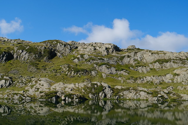
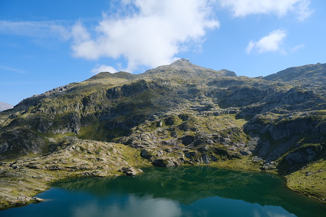
▲ At Lac du Brévent.
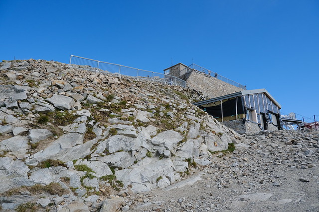
▲ Le Brévent.
▲ On the way to Col de Bellachat.
▲ Ruins of Chalets de Carlaveyron.
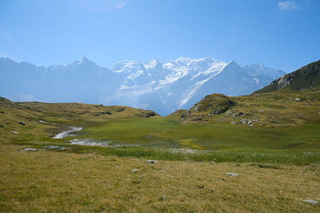
▲ Mont Blanc and marsh seen from Col de Bellachat.
▲ On the way to the dams of Carlaveyron. There was a faint trail, but I lost it at some point so I continued off-trail for a few minutes. After that, I found the trail I had already taken the last time I was in the area.
▲ Blueberry.
▲ Small stream.
▲ The stream that comes from Lac de l’Aiguillette.
▲ Le Brévent.
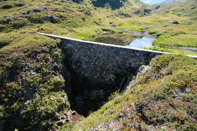
▲ Small dam. There are few in the area linked with canals. Apparently, they were used for small scale hydro-electricity generation.
▲ I looked around for a path but I was not looking at the right place at first.
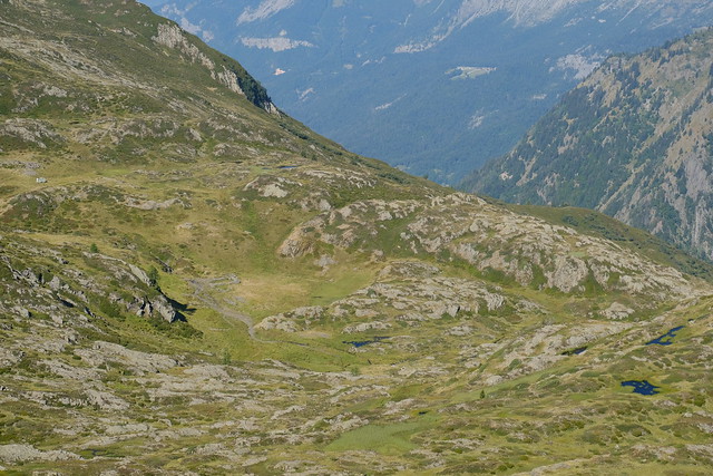
▲ In the center of the photo, the path that emerges from the dense forest I will go through after this.
▲ I found a small trail and went down.
▲ Pointe Noire de Pormenaz.
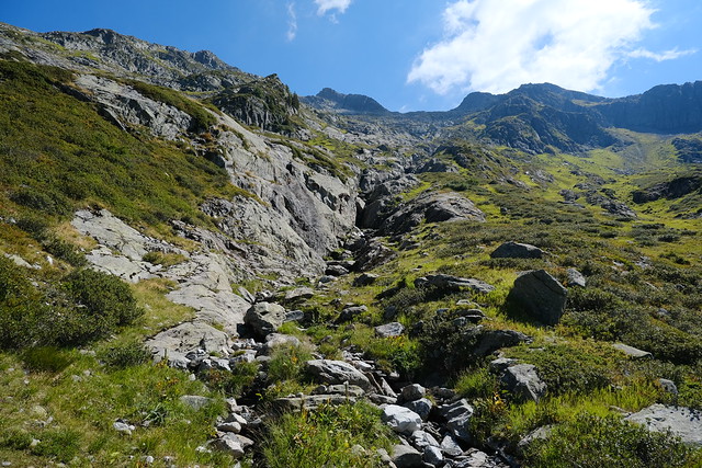
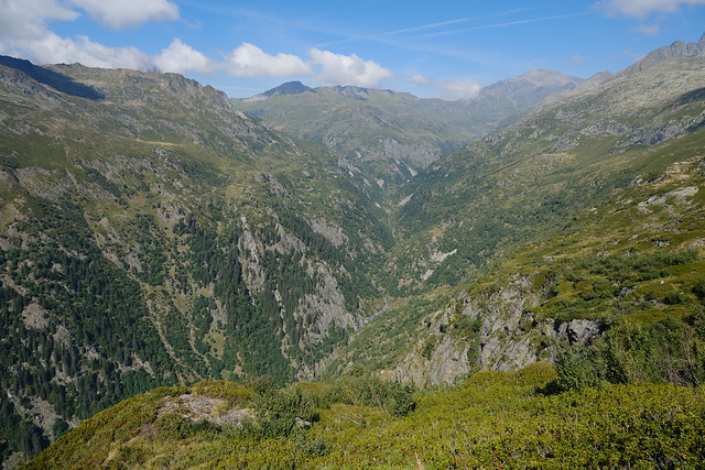
▲ Ravin du Brévent, which is just the outflow of Lac du Brévent.
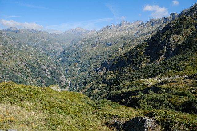
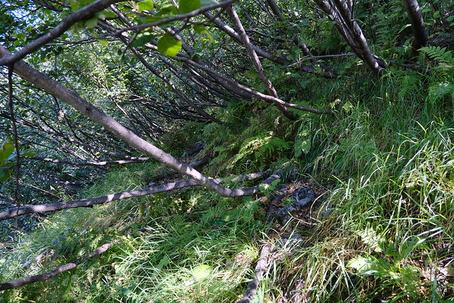
▲ Entering a dense forest of green alders. There was a visible path but the low-lying trees made it sometimes hard to pass. I almost gave up there…
▲ Out of the forest.
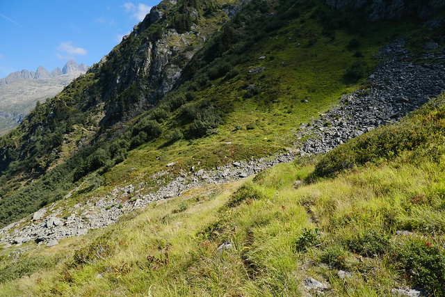
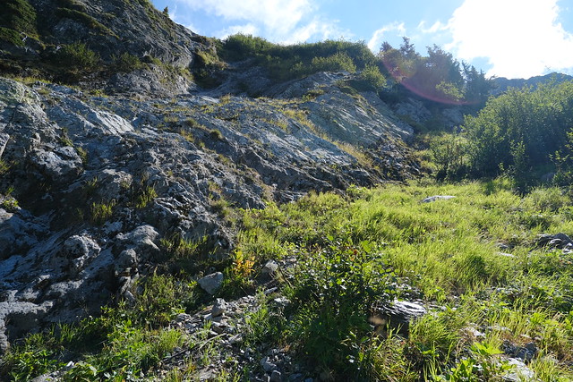
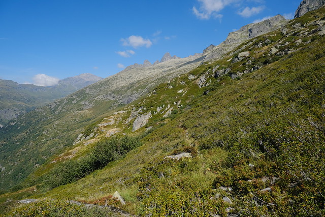
▲ On the way up to Montagne de la Coquille.
▲ Looking back at the path.
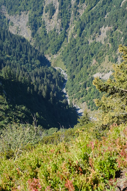
▲ Diosaz river below.
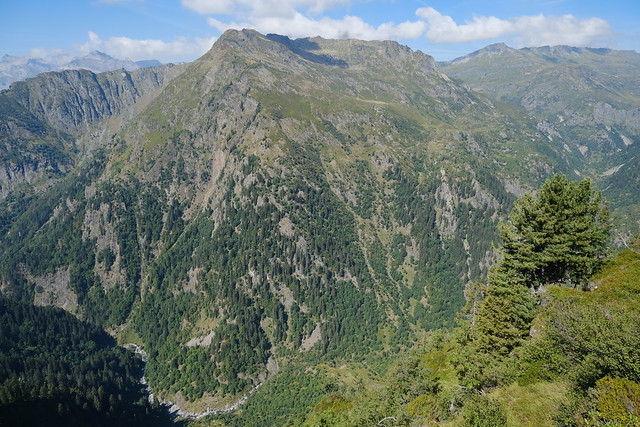
▲ Pointe Noire de Pormenaz.
▲ Diosaz river towards Pont d’Arlevé.
▲ From there, I took a wrong fork and walked through wet grass and stones for a while.
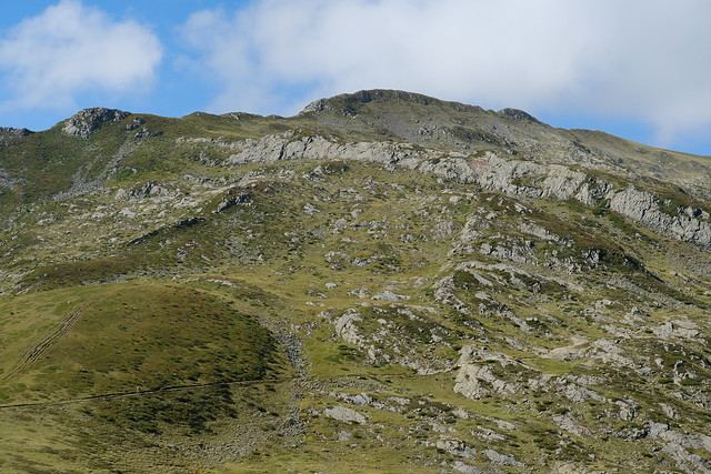
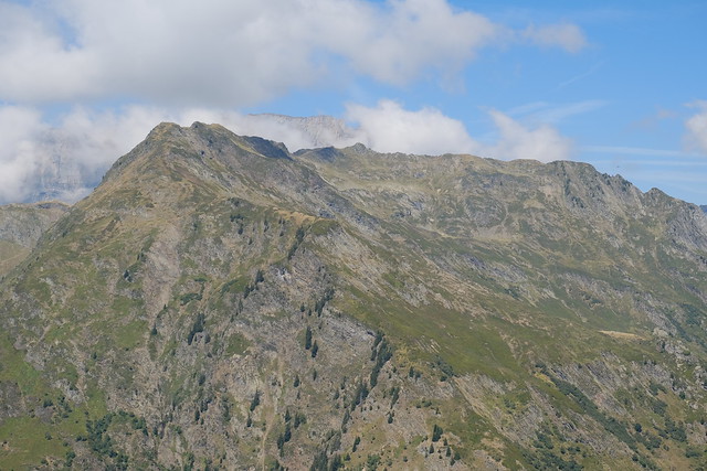
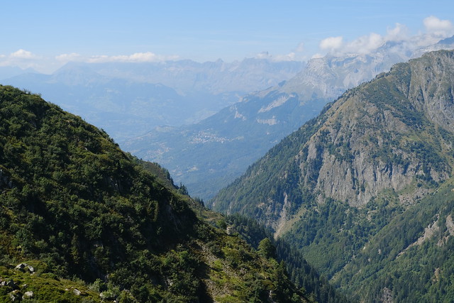
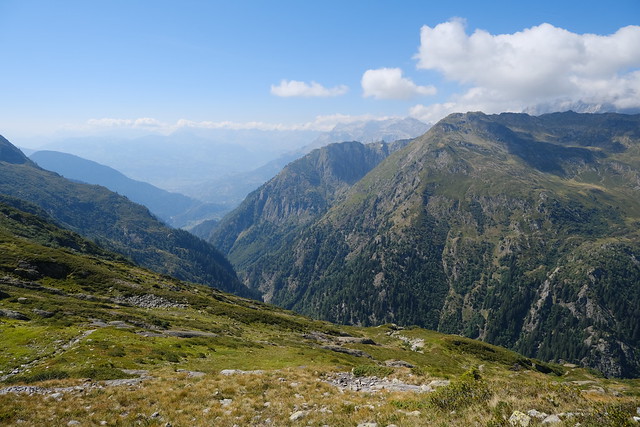
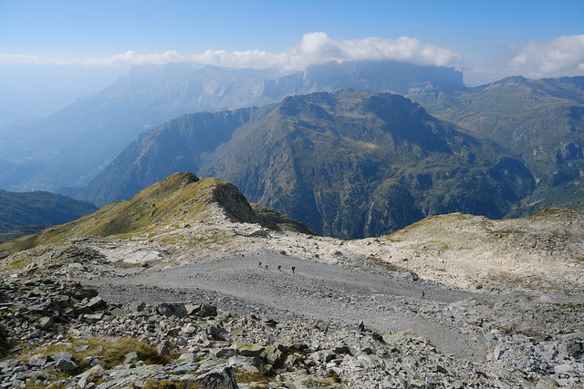
▲ Montagne de la Coquille (not really a mountain, more of a slope) towards Le Brévent (not visible).
▲ I walked a small trail I had scoped out earlier in the summer when I had tried to do this path in the other direction (but could not find the path down to Ravin du Brévent and ran out of time).
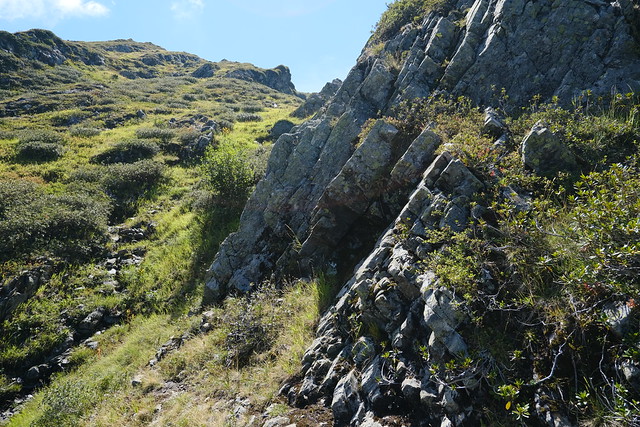
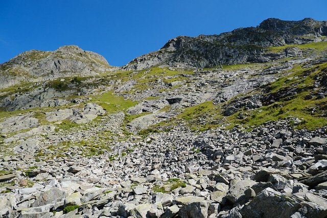
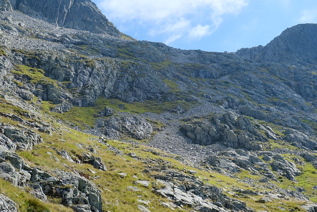
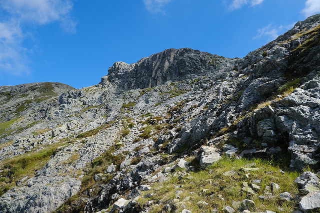
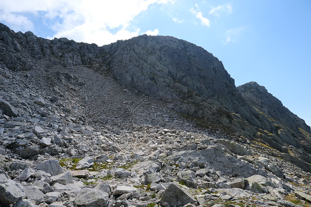
▲ Walking up off-trail. It was actually not very difficult.
▲ Looking back at my path.
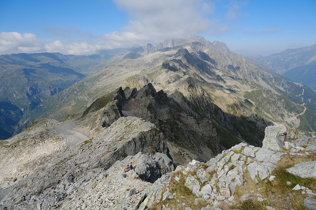
▲ Col d’Anterne and Tête de Moëde.
▲ Dirt road to Le Brévent.
▲ Summit of Le Brévent.
▲ Aiguilles Rouges.
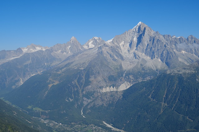
▲ Aiguille Verte.
▲ Mont Blanc.
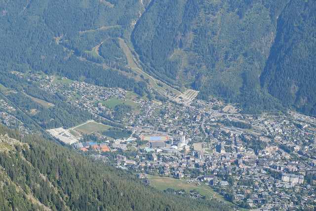
▲ Chamonix.
▲ Pointe Noire de Pormenaz.
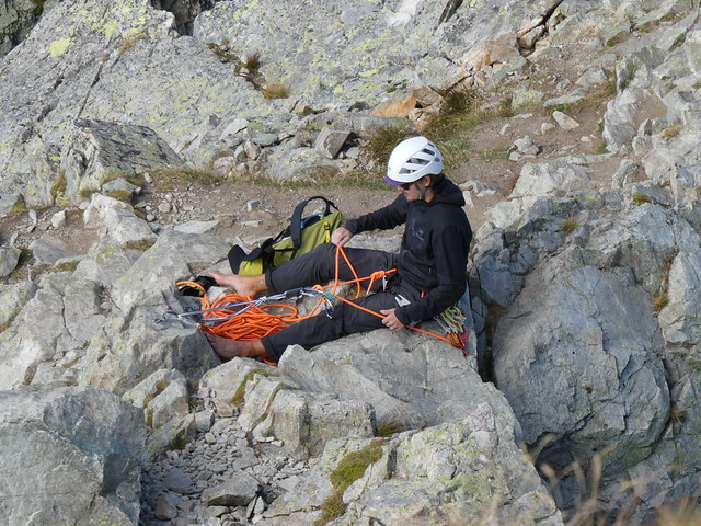
▲ Climber.
▲ Lac du Brévent.
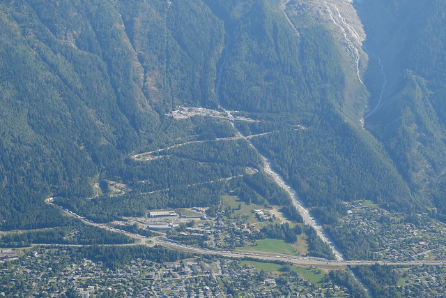
▲ Tunnel du Mont Blanc. There was a huge truck traffic jam, since the other main path to Italy was blocked by a landslide at the time.
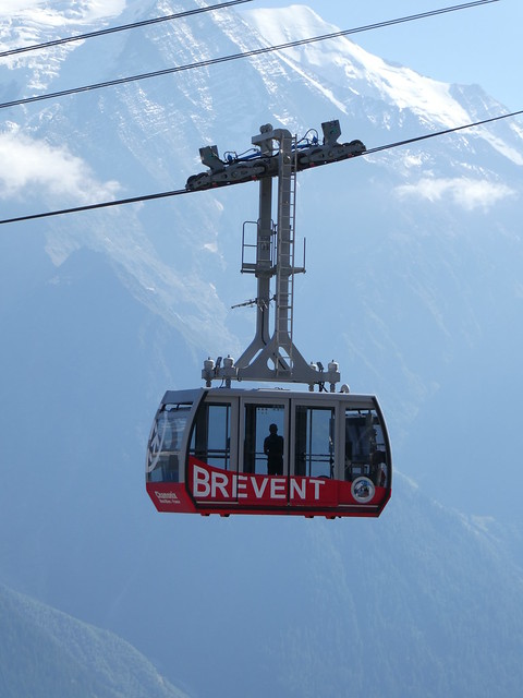
▲ Aboard the Téléphérique du Brévent.
