Hike to cliff of Parmelan
In spring 2022, I went on a hike below Tête du Parmelan: I walked a small trail until a cave in the cliff.
Here is a map of the path I walked:
- Download path KML
- Download large map
- More photos on Flickr
- Day of the hike: May 21, 2022
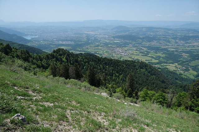
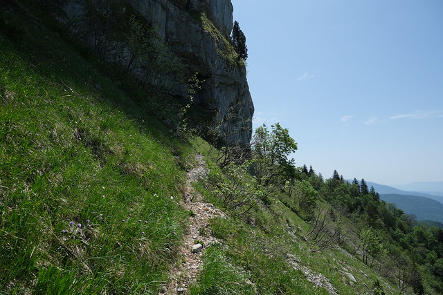
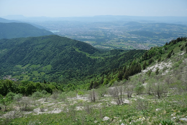
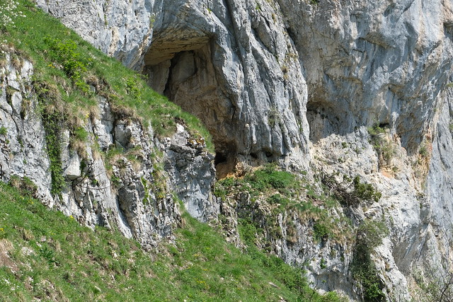
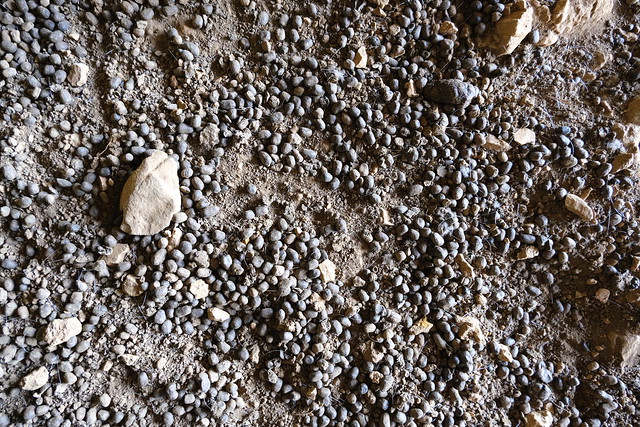
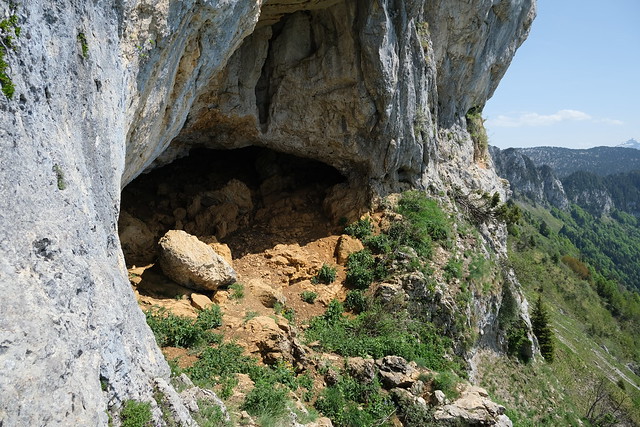
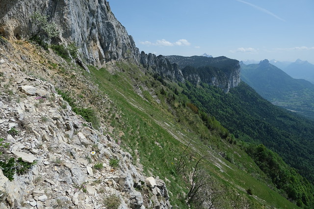
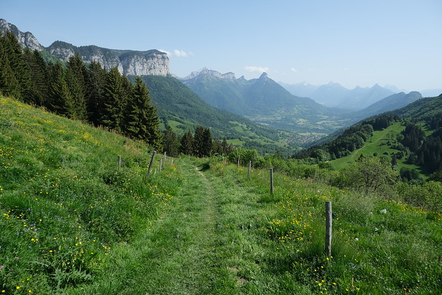
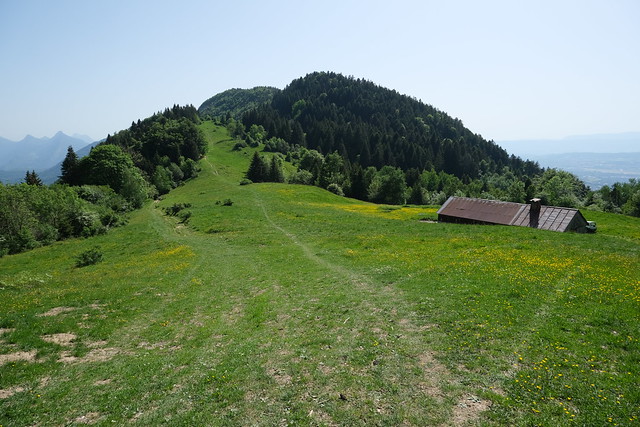
In the morning, I went by Car Région (line Y63) to Dingy-Saint-Clair. From there, I started walking to the hamlet of La Blonnière below Parmelan. I then took a trail towards Grand Montoir, one of the main paths to Tête du Parmelan. Juste before I reached it, I found a fork that led to Pilier d’Angle, the corner cliff just below Tête du Parmelan. There was a great view from there. I then started walking on a faint trail that passed right below the cliff of Parmelan. I followed it until I arrived at a small cave. Its ground was covered with chamois droppings, but I didn’t see any (just saw a tiny rodent). It didn’t seem the trail went on further than that, so I went back to Pilier d’Angle using the same path. I then went down using a steep trail in order to get back to the main trail and followed it towards Chalet Chappuis and Col de Barman. Finally, I went down to Nâves-Parmelan, where I boarded the Sibra bus (line 82) to Annecy.
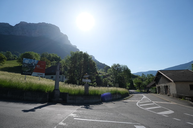
▲ In Dingy-Saint-Clair.
▲ Mont Baret.
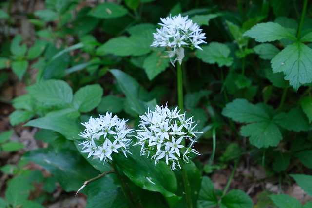
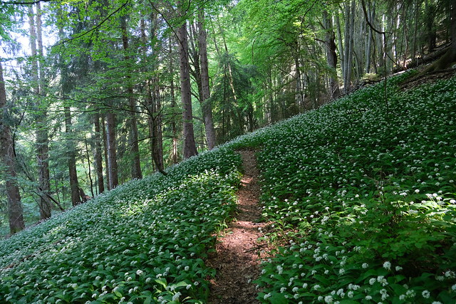
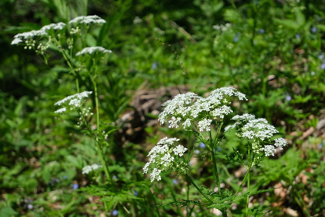
▲ Wild garlic flowers (Ail des ours in French).
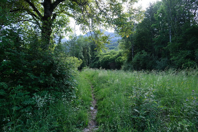
▲ Path in the middle of a patch of wild garlic flowers.
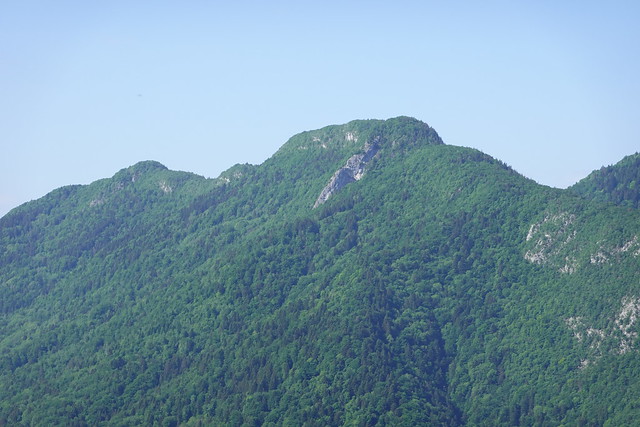
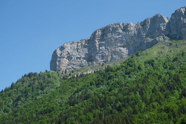
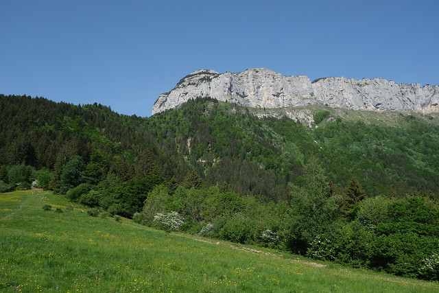
▲ Tête du Parmelan.
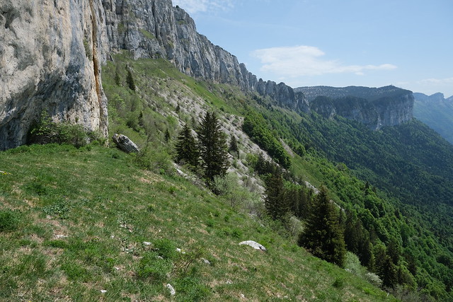
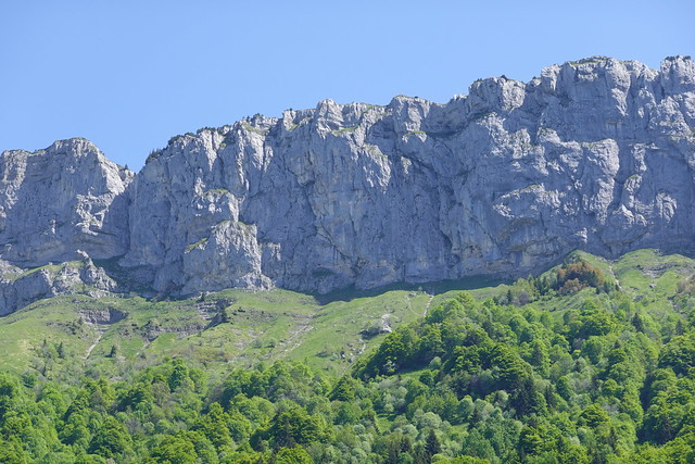
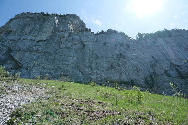
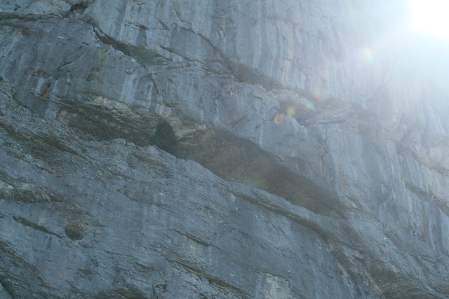
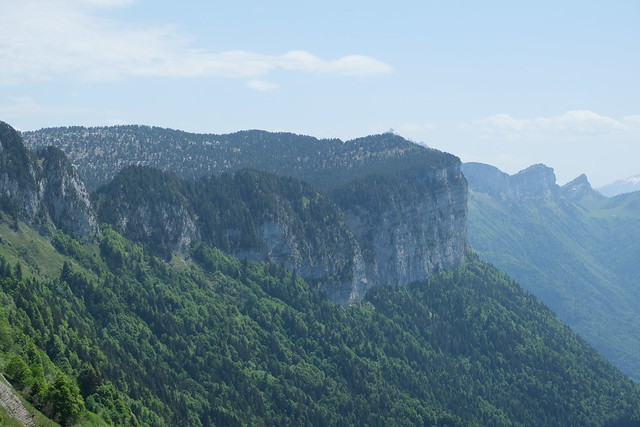
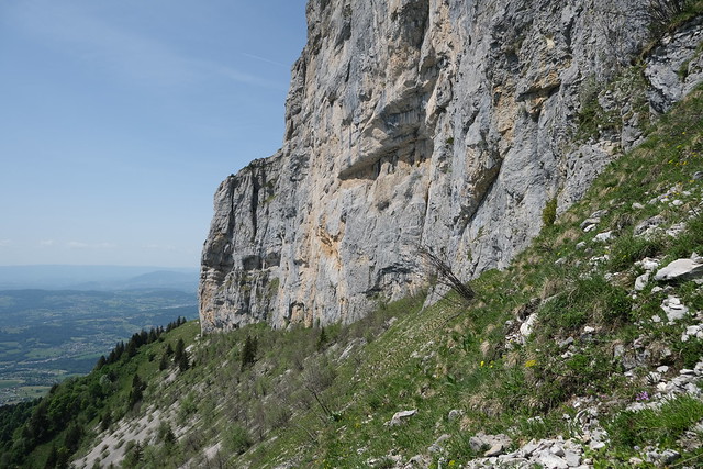
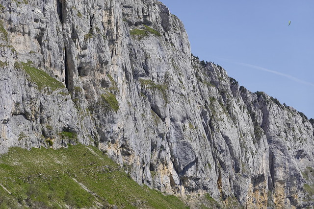
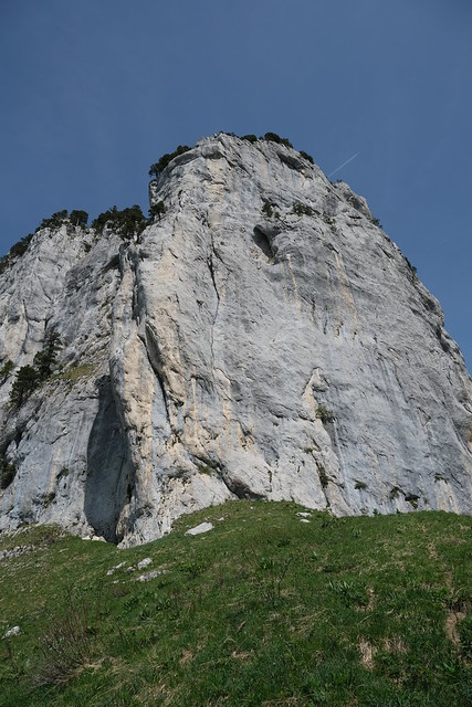
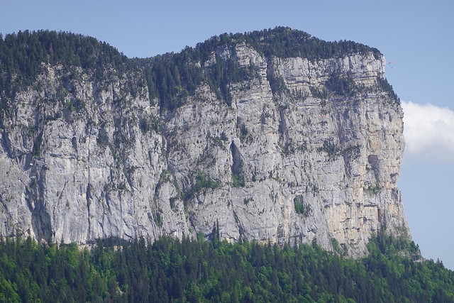
▲ Cliff of Parmelan. The cave I visited can be seen on the left (but is not very noticeable from this angle).
▲ Col de Barman.
▲ Raptor.
▲ Montagne de Lachat.
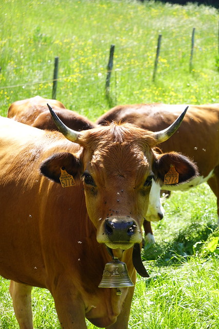
▲ Tarentaise cow in a field above La Blonnière.
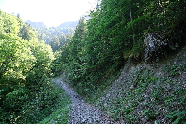
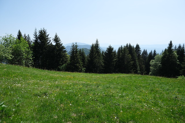
▲ On the trail towards Tête du Parmelan.
▲ Marsh-marigold.
▲ On the main trail to Tête du Parmelan.
▲ On the path to Grand Montoir.
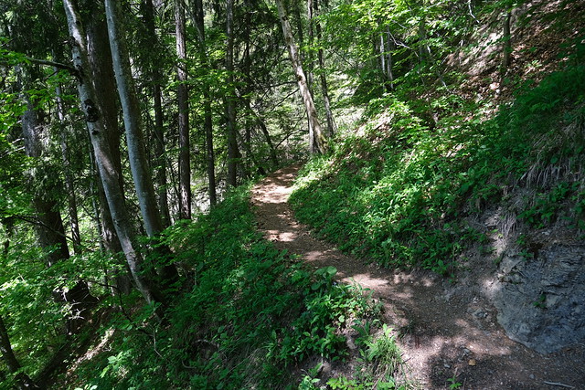
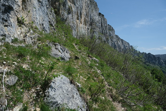
▲ I took a fork and walked on a trail below the cliff.
▲ Crêt de la Dame.
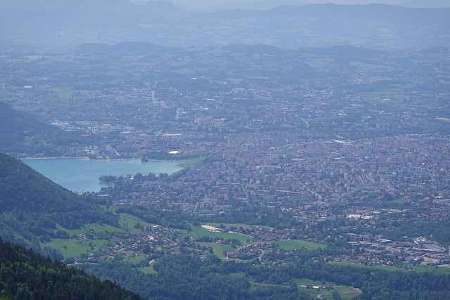
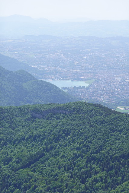
▲ Annecy.
▲ Lake Annecy.
▲ Salève.
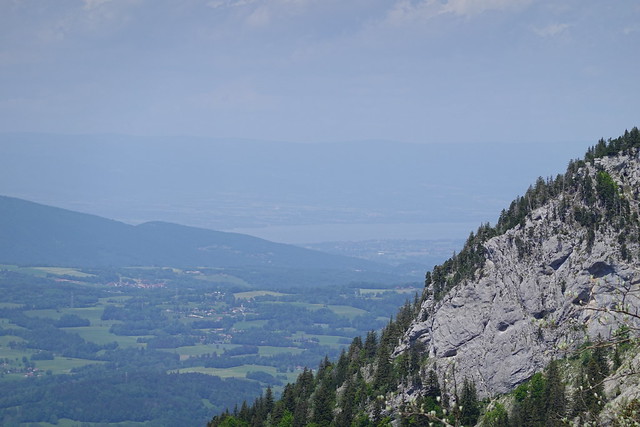
▲ Lake Geneva.
▲ Montagne de la Mandallaz.
▲ Pilier d’Angle below Tête du Parmelan.
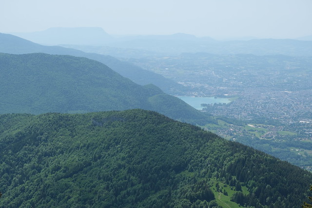
▲ Col de Bluffy and Lake Annecy.
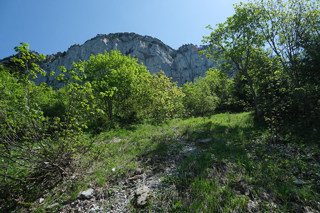
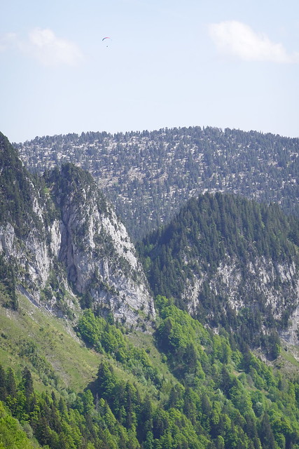
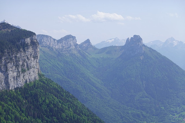
▲ Cliff of Parmelan and Mont Téret.
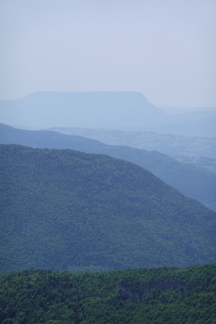
▲ Mont Téret.
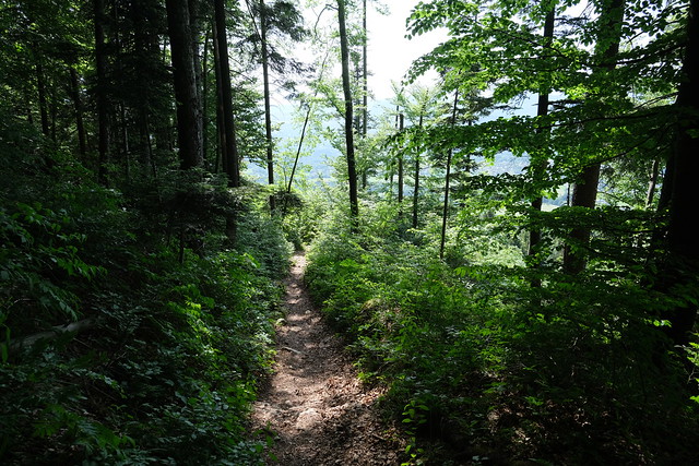
▲ Small trail.
▲ Montagne de Lachat and Lake Annecy.
▲ Passing below a fallen rock.
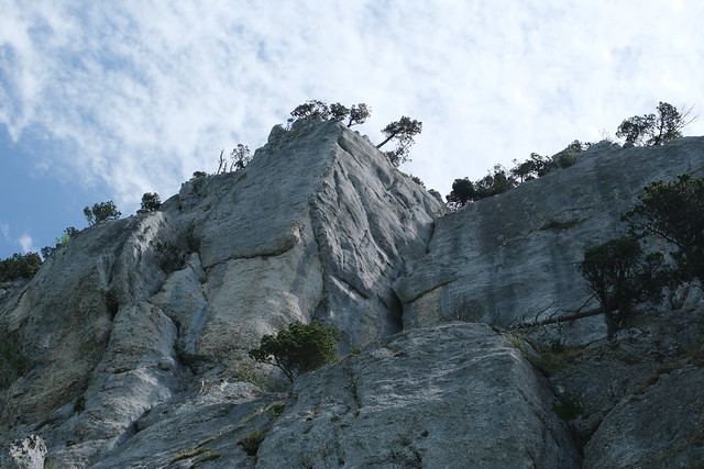
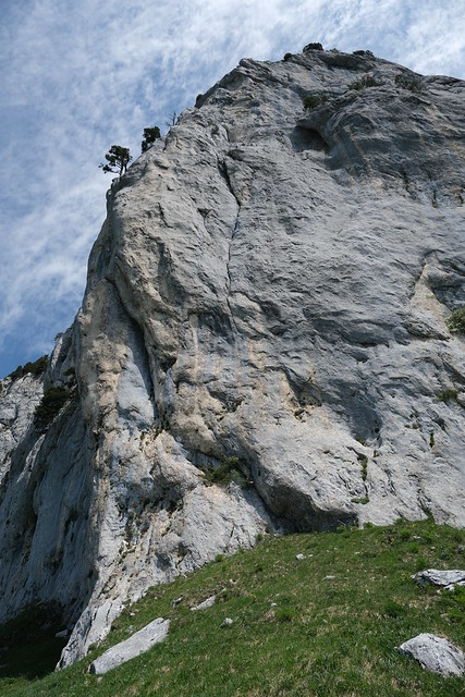
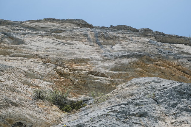
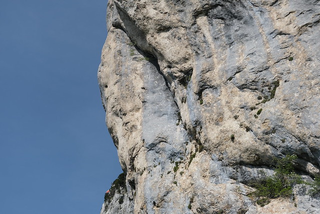
▲ The cliff is equipped for climbing, although I saw no-one that that day.
▲ Col de Barman.
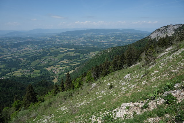
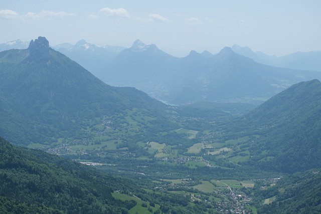
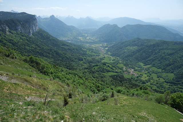
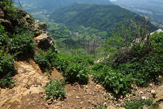
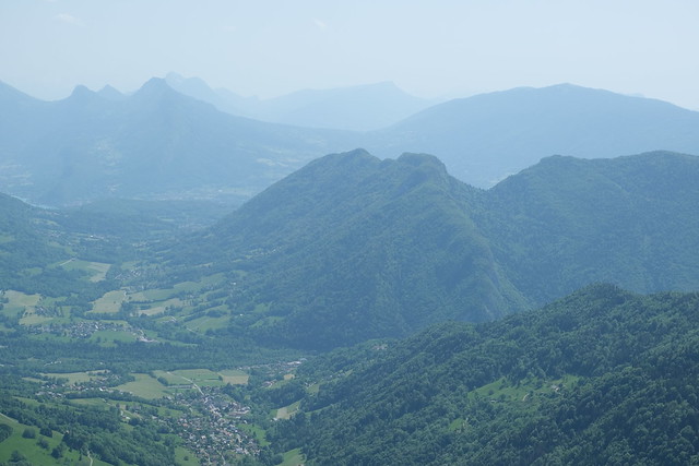
▲ Dingy-Saint-Clair valley.
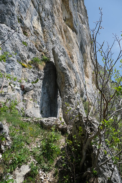
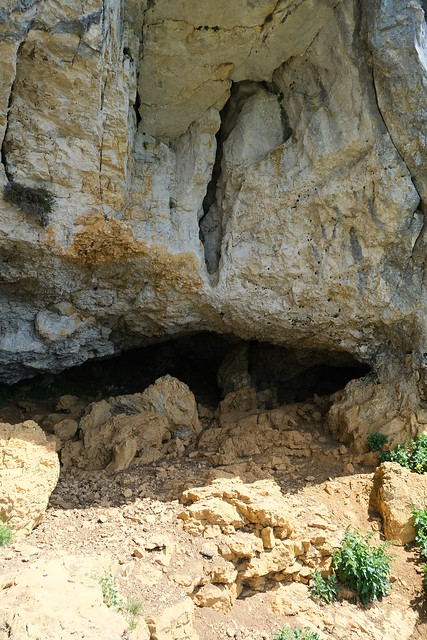
▲ Arriving below the cave.
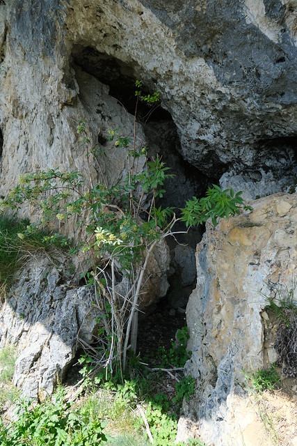
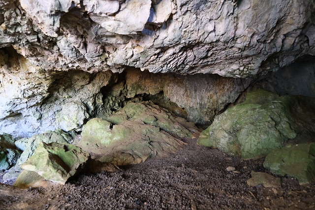
▲ Inside the cave. It is not very deep.
▲ Chamois droppings.
▲ Lake Annecy.
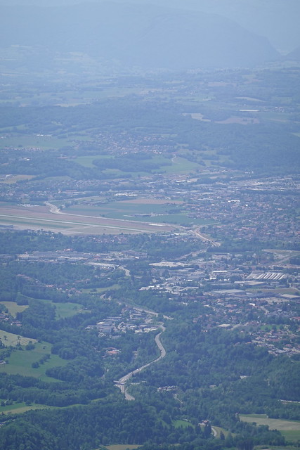
▲ Annecy airport.
▲ On the way back.
▲ Looking towards Col du Pertuis. There seems to be an even fainter track that way so I wonder how far you can actually go.
▲ Mont Téret.
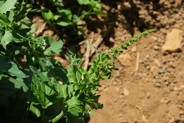
▲ Crossing a patch of stinging nettles.
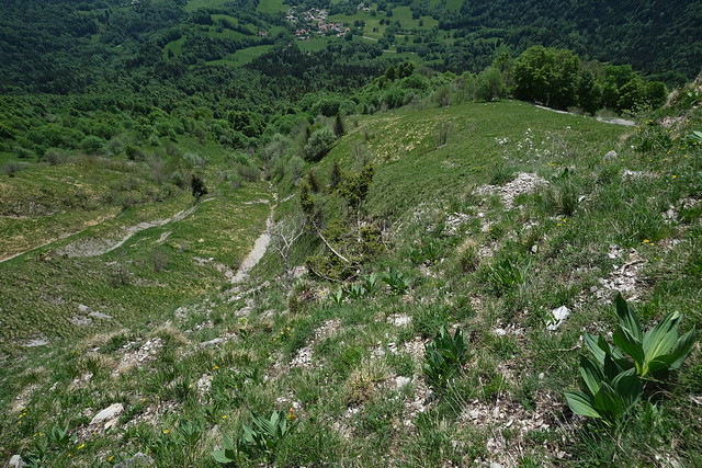
▲ Looking down.
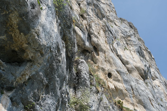
▲ Looking up.
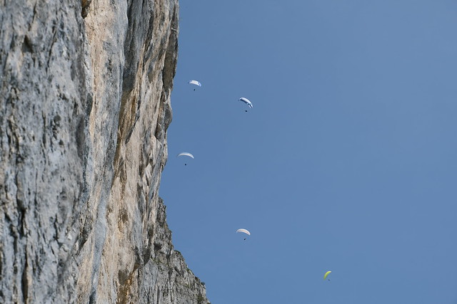
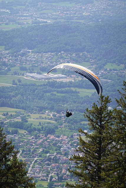
▲ Paragliders.
▲ Mont Baret.
▲ Col du Pertuis.
▲ Back below Pilier d’Angle.
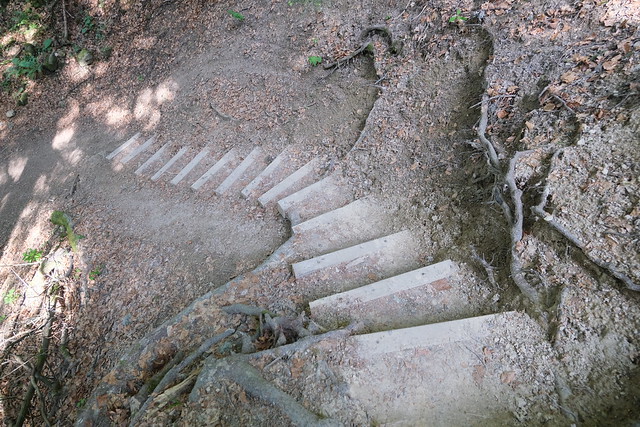
▲ Small trail down.
▲ Looking back at Pilier d’Angle.
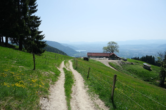
▲ Chalet Chappuis.
▲ Col de Barman.
▲ Falaise de la Tassonnière below Mont Téret.
▲ Tête du Parmelan.
▲ The cave I visited.
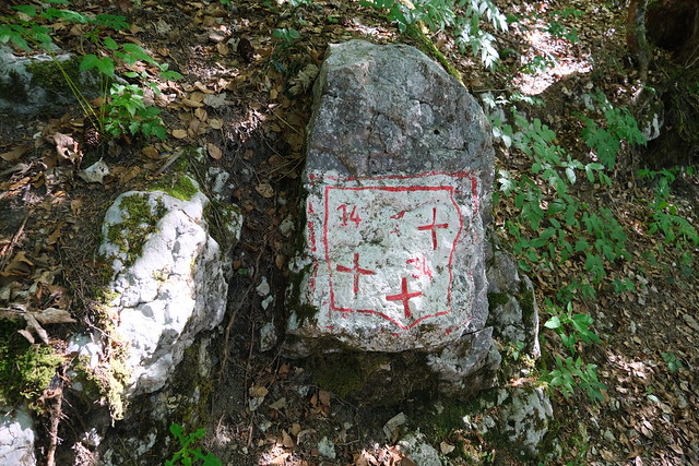
▲ Pierre des Trois Croix (Stone of the 3 crosses), where the borders of three towns meet.
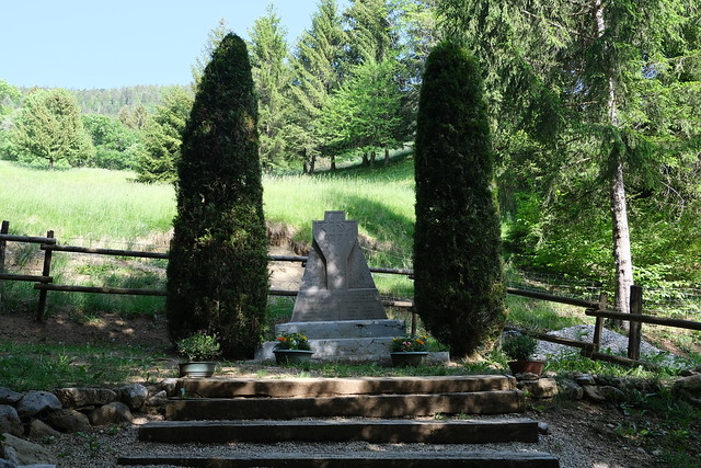
▲ Mémorial du Capitaine Anjot.
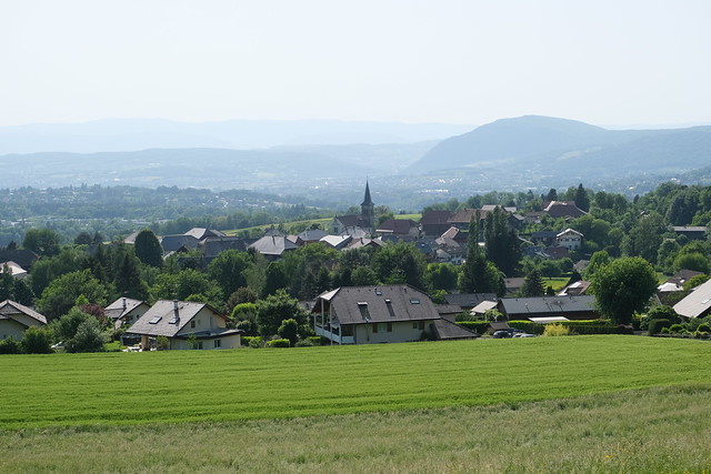
▲ Nâves-Parmelan.
▲ Wheat field.
