Hike from Col des Aravis to Col de Merdassier through Col de la Blonnière
Last summer, I walked from Col des Aravis to Col de Merdassier, passing through Col de la Blonnière.
Here is a map of the path I walked:
- Download path KML
- Download large map
- More photos on Flickr
- Day of the hike: August 25, 2023
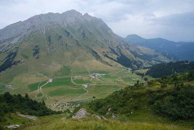
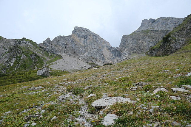
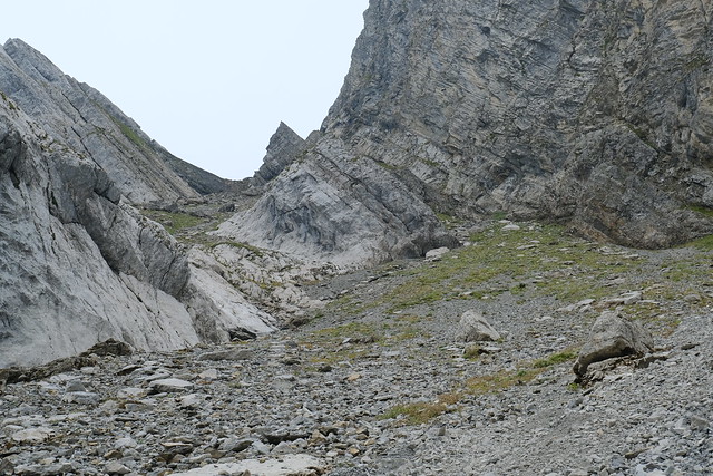
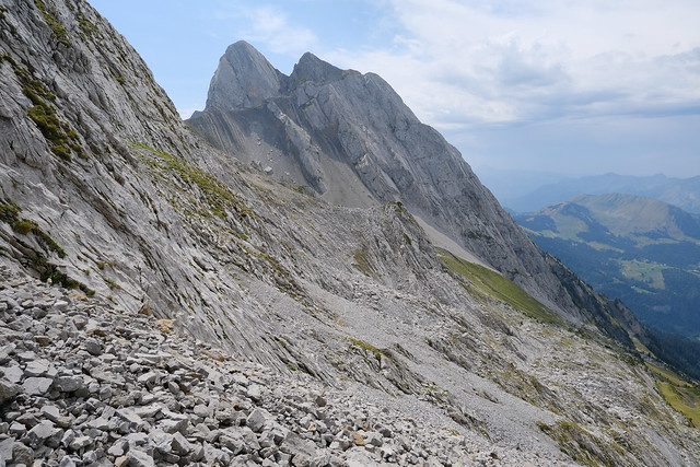
In the morning, I took a Car Région bus to La Clusaz then boarded a summer shuttle to Col des Aravis. I started walking up towards Col de la Blonnière through Combe à Marion. When I was already quite high, it rained for a few minutes but it soon stopped and I forged on. On the way, I crossed path with climbers getting down from Arête à Marion, a well-known climbing route in the area. The last part before the pass was pretty steep. I reached Col de la Blonnière after a while. There was a good view on the other side towards La Tournette.
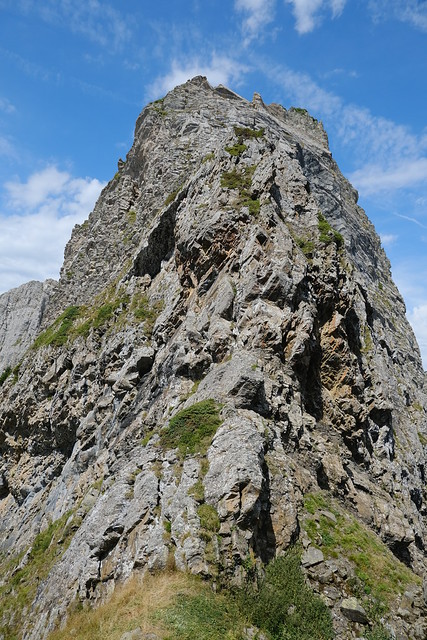
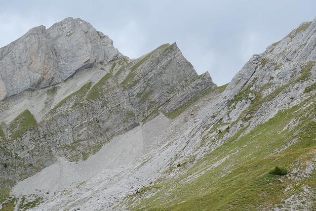
I ate lunch, then started on the way down Combe de la Blonnière. I didn’t take the most direct path: I first made a detour off-trail below Pointes de la Blonnière. The path to their summits seemed workable: However there was not enough time for me. I passed below L’Étale then finally went down towards Chalet de la Blonnière. There were enclosures for the sheep on the path, but with no sheep inside, so they were not electrified. I arrived at a dirt road and followed it down to Comburce. For the final part, I walked up Côte Rouge to Col de Merdassier. I waited for the summer shuttle to Thônes there.
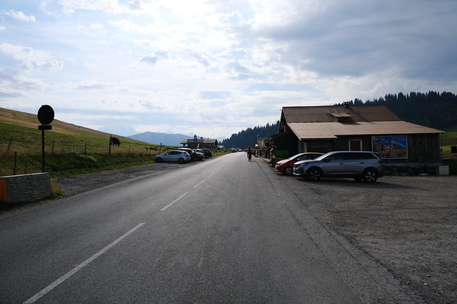
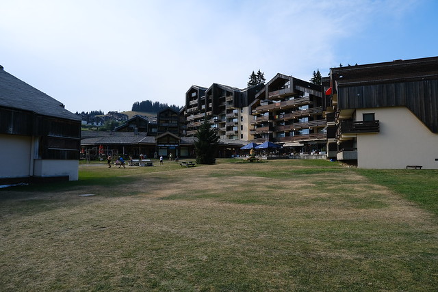
▲ At Col des Aravis.
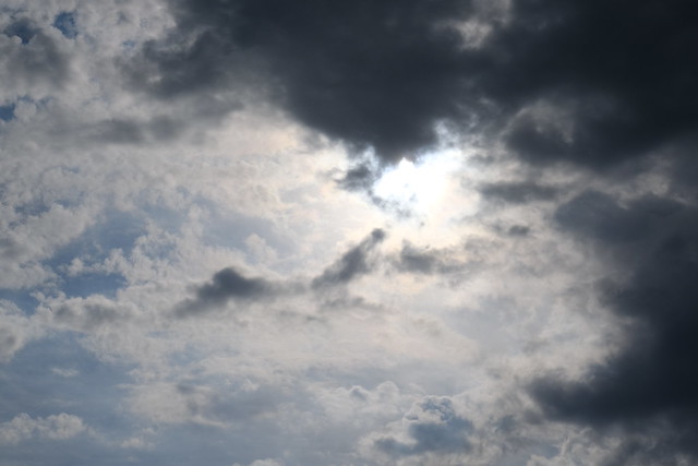
▲ Cloudy.
▲ Towards Combe à Marion, on the south side of the Col.
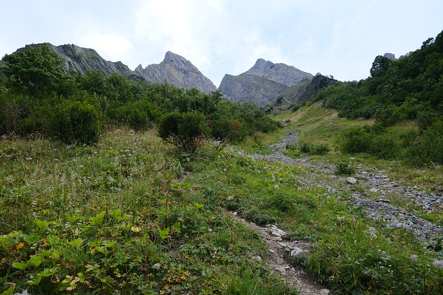
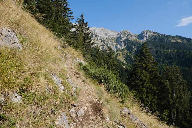
▲ There is a well-visible trail for most of the path.
▲ North side of Col des Aravis.
▲ Col des Aravis.
▲ Dent du Chatelet.
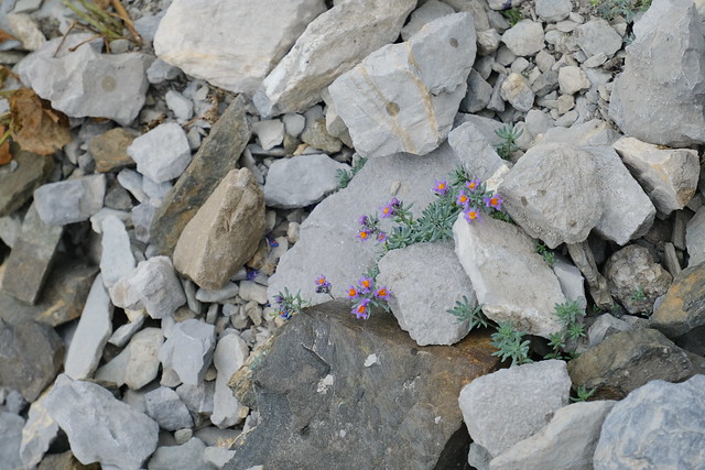
▲ Flowers and raindrops.
▲ This is the start of the climbing route called Arête à Marion.
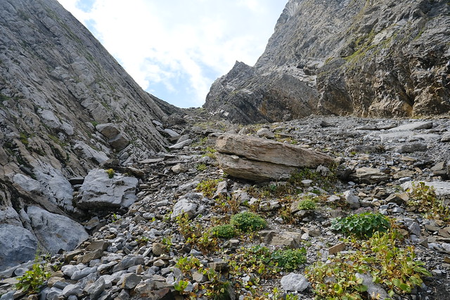
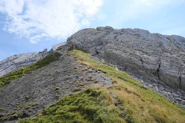
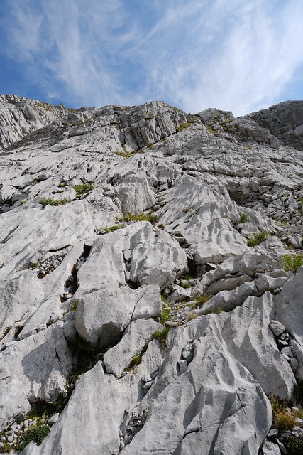
▲ That last part before reaching Col de la Blonnière was quite steep.
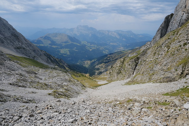
▲ At Col de la Blonnière, looking towards La Tournette.
▲ Aiguille de Borderan on the north side of Col des Aravis.
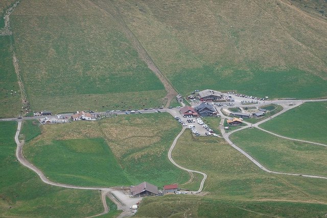
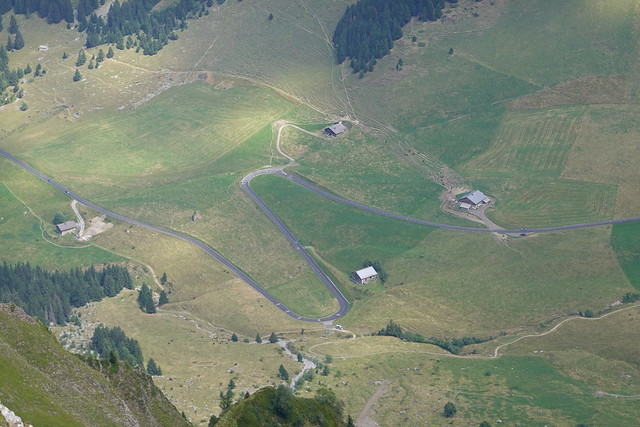
▲ Winding road to Col des Aravis.
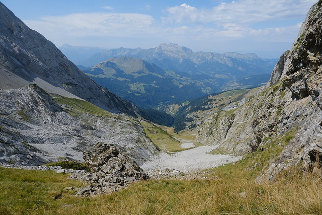
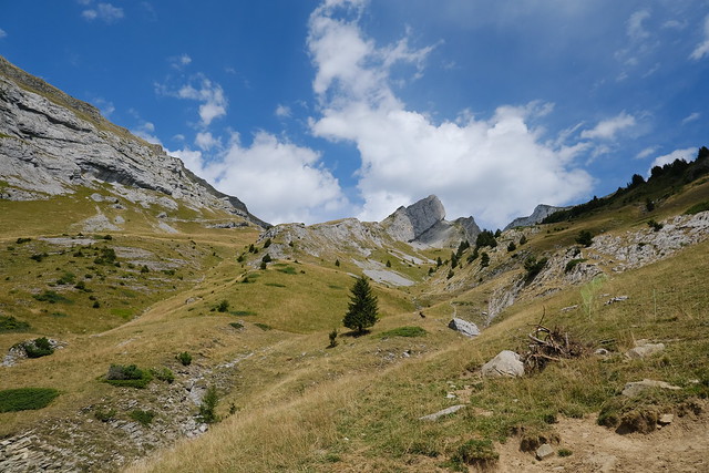
▲ Looking back at the path up.
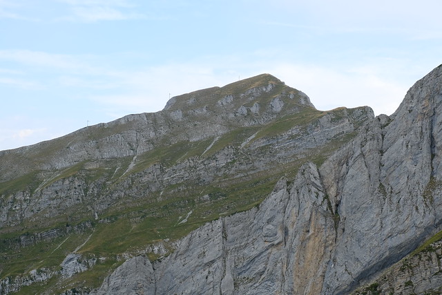
▲ L’Étale.
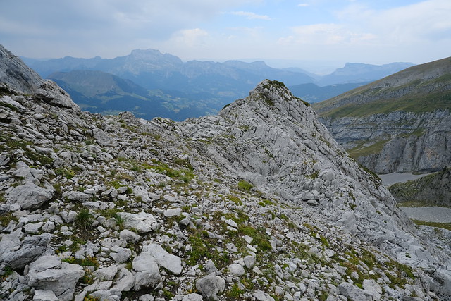
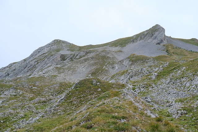
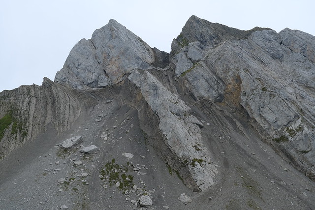
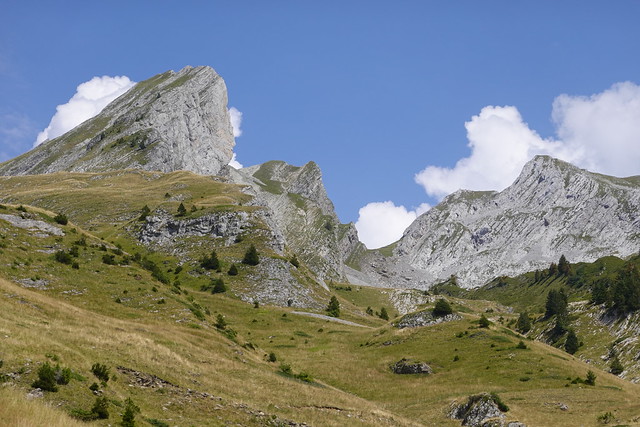
▲ One side of Col de la Blonnière, towards Pointes de la Blonnière.
▲ The other side, towards Dent du Chatelet.
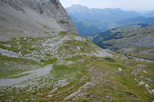
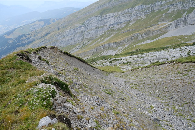
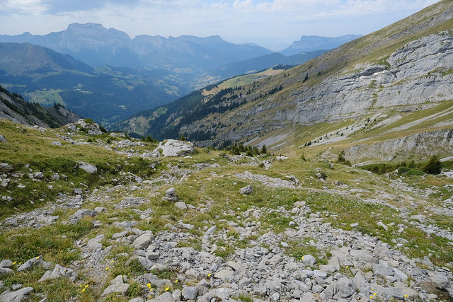
▲ On the way down Combe de la Blonnière across some scree.
▲ Around here, it rained really hard for just a minute. I was a bit worried since there was still a long way down but it didn’t last long.
▲ Pointe de Merdassier. There is a path to the summit through Combe de la Blonnière.
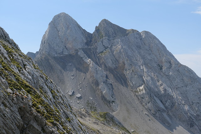
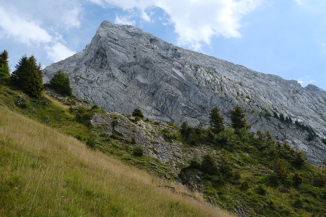
▲ Pointes de la Blonnière.
▲ L’Étale.
▲ I walked off-trail through the grass.
▲ Below L’Étale.
▲ Dry torrent bed.
▲ Looking back at Col de la Blonnière and Dent du Chatelet.
▲ I found a small trail at some point.
▲ Pointe de Merdassier.
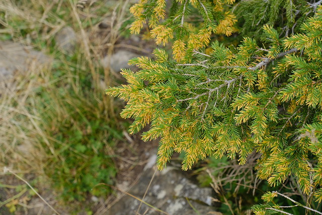
▲ Tree turning yellow because of the drought.
▲ L’Étale.
▲ At the dirt road near Chalet de la Blonnière, looking up Combe de la Blonnière.
▲ Col de la Blonnière.
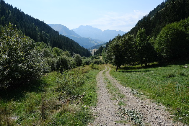
▲ Dirt road to Comburce.
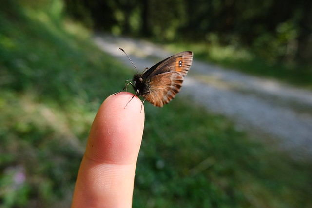
▲ Tiny butterfly trying to feed on my finger.
▲ Côte Rouge path on the way up to Col de Merdassier.
▲ Mont Charvin.
▲ L’Étale.
▲ Small waterfall on Nant Gothier.
▲ Mont Charvin and Aulp de Fier.
▲ Station de l’Étale.
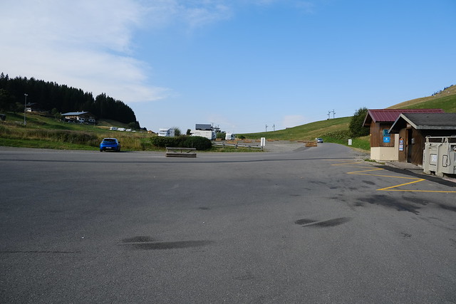
▲ Towards Col de Merdassier. I waited for the bus here.
▲ Pointe de Merdassier.
