Hike to Montagne des Frêtes & Champ Laitier
On New Year’s Day 2023, I went on a hike to Montagne des Frêtes and Champ Laitier, near Plateau des Glières. I took a Sibra winter shuttle to get there: Although they are in place to serve the nordic skiing resort (until the end of March), there was no snow at all but it was still convenient for hiking.
Here is a map of the path I walked:
- Download path KML
- Download large map
- More photos on Flickr
- Day of the hike: January 1st, 2023
In the morning, I took a Sibra winter shuttle to Plateau des Glières. I started walking towards Champ Laitier, passing across Montagne des Frêtes. The trail down to Champ Laitier was quite steep. There, I crossed Nant des Brassets and arrived at the pasture. I made a detour to Chalet du Plan then headed to Belvédère du Pas du Roc, above Cascade du Pas du Roc. On the way back, I took an alternate trail to Montagne des Frêtes that went along Réserve Biologique de la Montagne des Frêtes. I arrived at Col des Glières after a while then walked along the road to the bus stop.
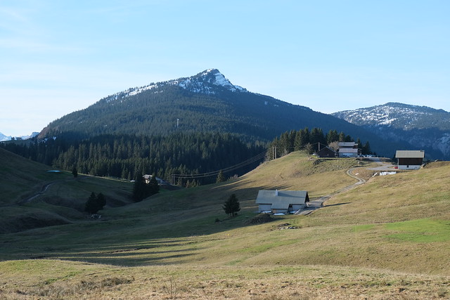
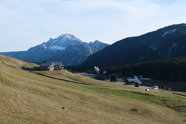
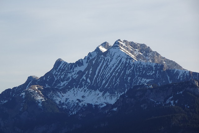
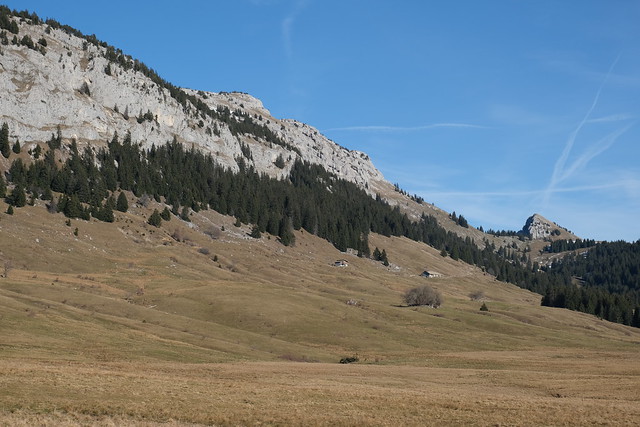
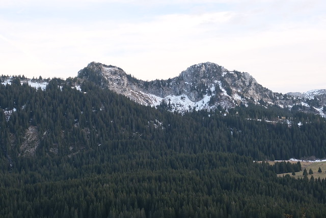
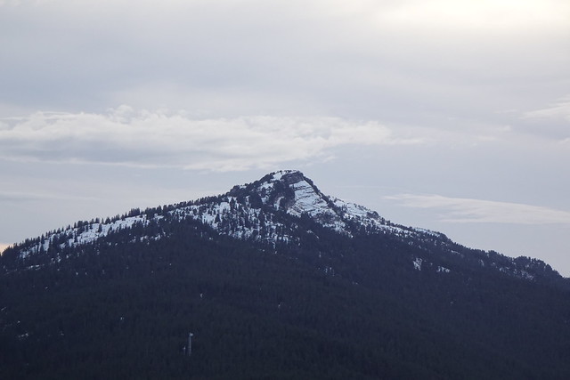
▲ Tête Noire.
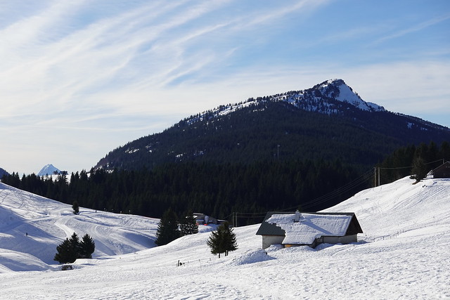
▲ Tête Noire at the beginning of January in 2020, with more snow.
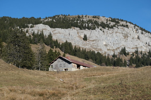
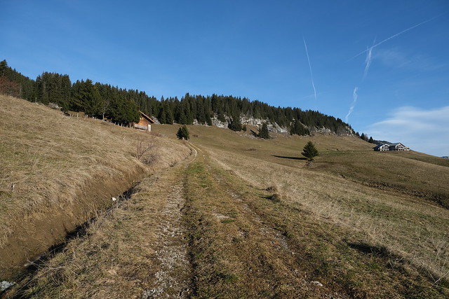
▲ On the path to Montagne des Frêtes through Chalet de Glière.
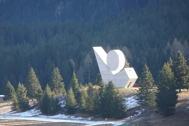
▲ Monument National à la Résistance.
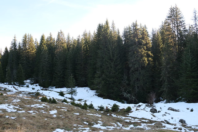
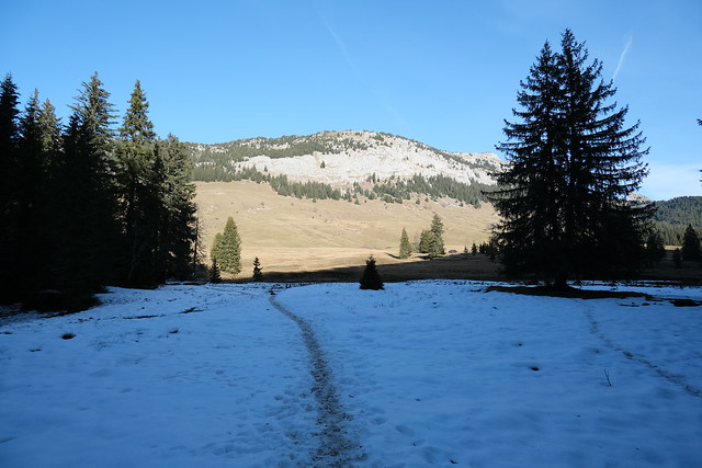
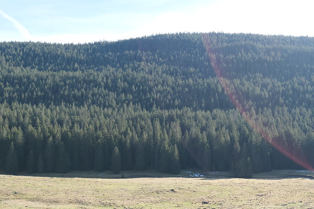
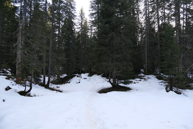
▲ There was some snow on Montagne des Frêtes.
▲ Passage de Roncevaux.
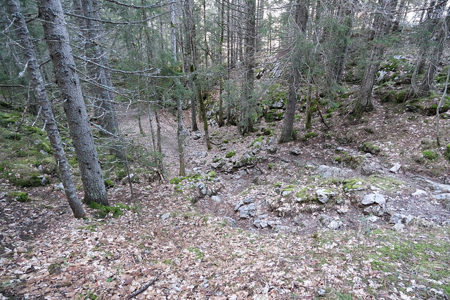
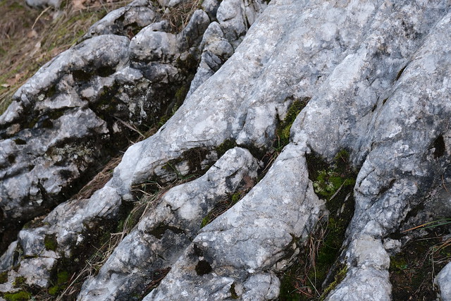
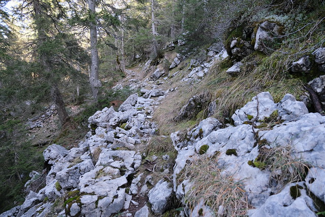
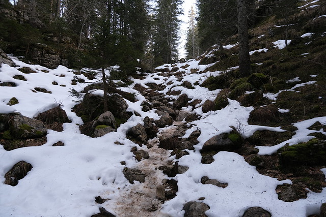
▲ On the way down to Champ Laitier, the trail was quite steep and rocky.
▲ At Champ Laitier.
▲ Roche Parnal.
▲ Passerelle des Brassets, across Nant des Brassets.
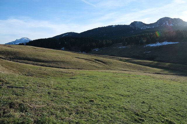
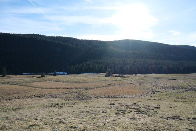
▲ Pasture.
▲ Tête d’Usillon.
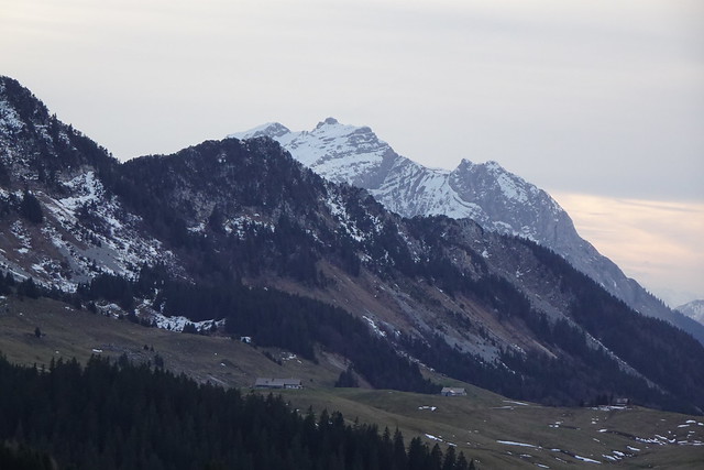
▲ Towards Parmelan.
▲ Crépon de Montoulivert, the highest point of Montagne des Frêtes.
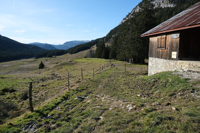
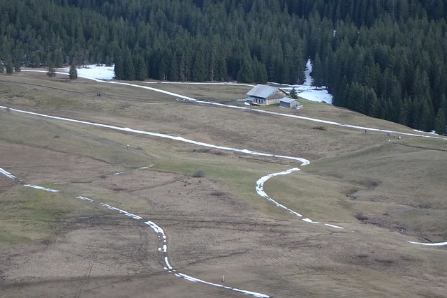
▲ Chalet du Plan, with Montagne de Sous-Dine in the background.
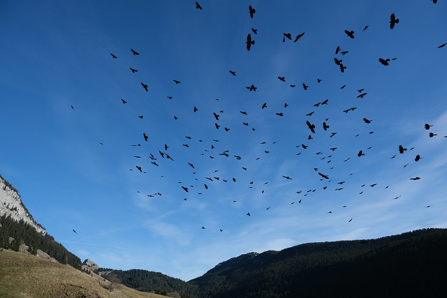
▲ Alpine choughs. There were a few that landed next to me and I gave them a few crumbs from my sandwich. The whole flock soon arrived above me.
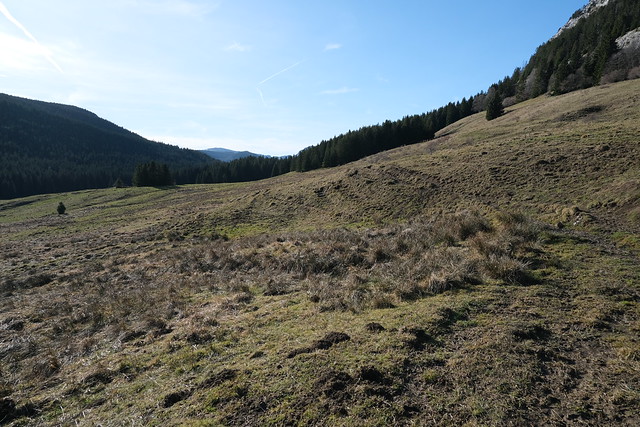
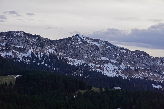
▲ Montagne des Frêtes.
▲ On the way to Belvédère du Pas du Roc.
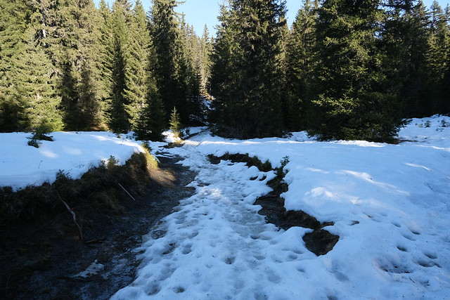
▲ That part was quite muddy.
▲ Bridge across Nant des Brassets.
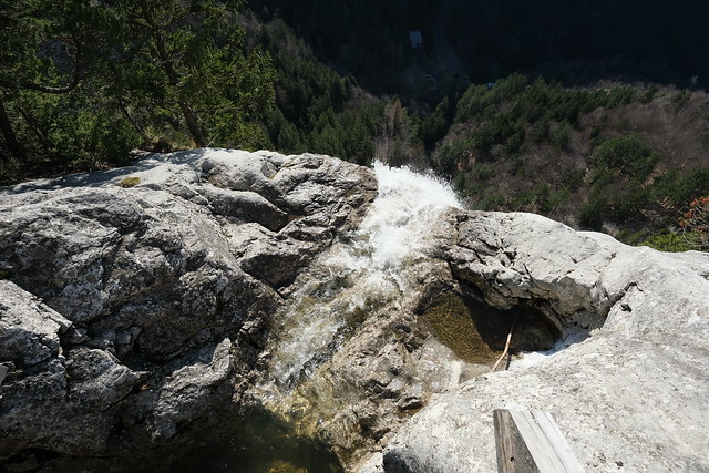
▲ Belvédère du Pas du Roc.
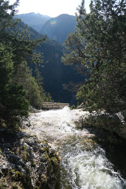
▲ Crossing the bridge. There is another bridge below.
▲ The second bridge.
▲ Looking up.
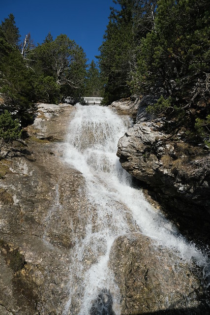
▲ Cascade du Pas du Roc is below.
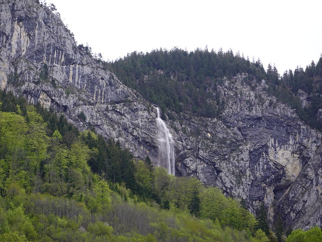
▲ View of the waterfall in spring, from Combe d’Usillon. It was also visible from the bus on the way to Plateau des Glières: There was a lot of water.
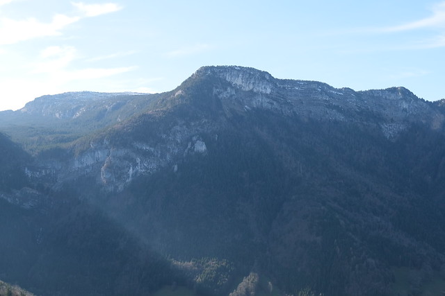
▲ Parmelan.
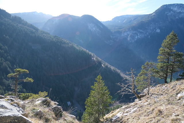
▲ Combe d’Usillon.
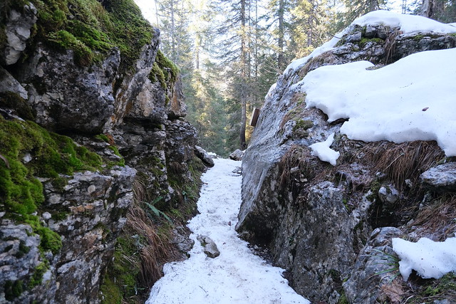
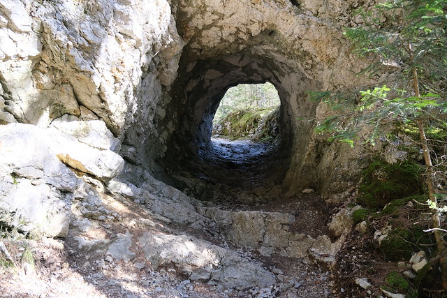
▲ I went back up, instead of going down through Pas du Roc. I passed a tunnel dug into the rock.
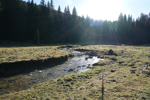
▲ Nant des Brassets.
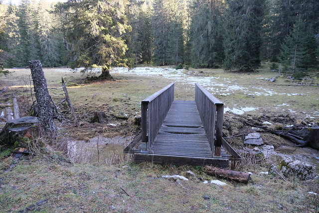
▲ Another bridge across the river.
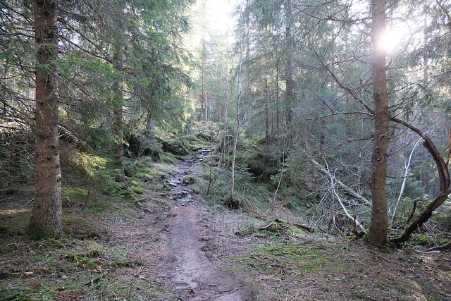
▲ On the way up to Montagne des Frêtes. That path was easier than the one I took on the way down.
▲ Towards Col de Landron.
▲ Tête d’Usillon.
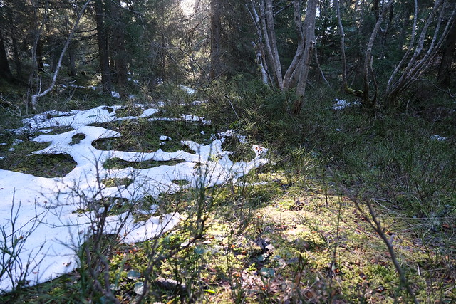
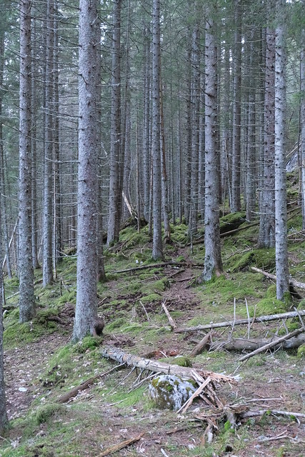
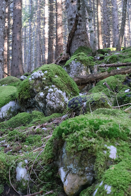
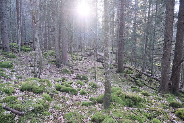
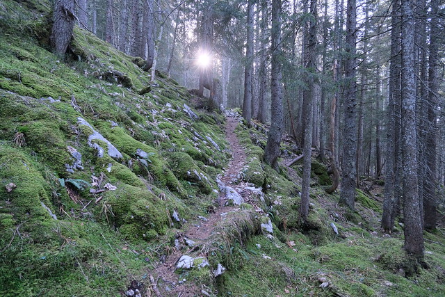
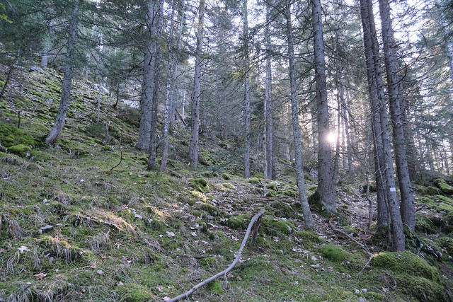
▲ The trail was along the limit of the Réserve Biologique de la Montagne des Frêtes, a nature reserve.
▲ Back on the path I was on earlier in the day, in the reverse direction.
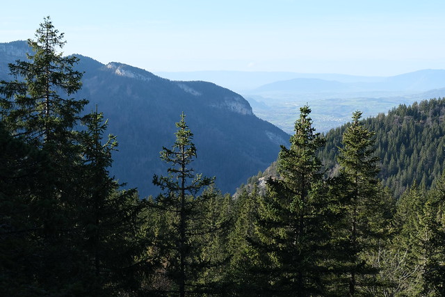
▲ Pointe de Puvat.
▲ Sad state of the ski tracks.
▲ Mont Trélod.
▲ La Tournette.
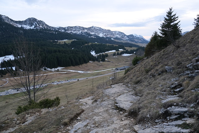
▲ On the way down to Col des Glières.
▲ Tête Noire.
▲ Plateau des Glières.
