Hike from Les Contamines-Montjoie to Beaufort-sur-Doron through Combe Durand & Col du Sallestet
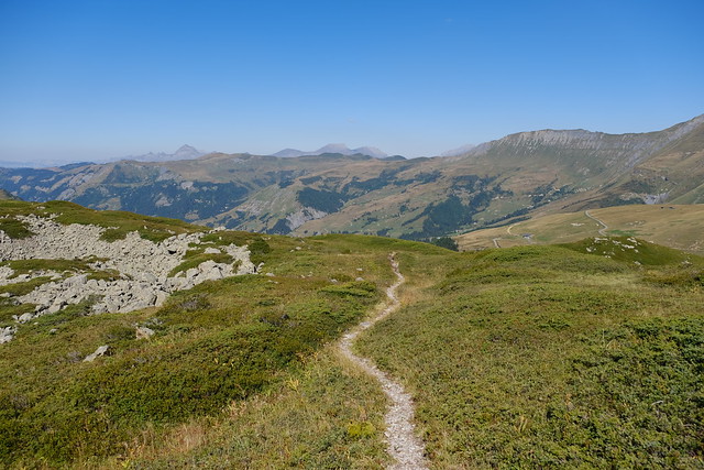
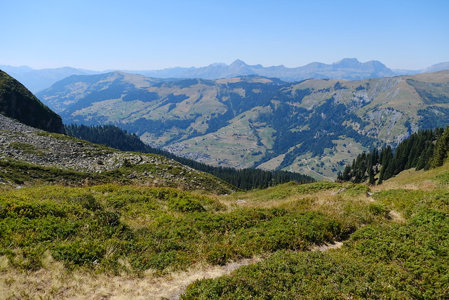
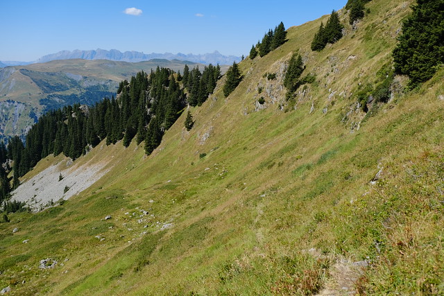
Last summer, I went on hike in the Beaufortain mountains: I walked from Les Contamines-Montjoie to Beaufort-sur-Doron, passing above Lac de la Girotte.
Here is a map of the path I walked:
- Download path KML
- Download large map
- More photos on Flickr
- Day of the hike: August 13, 2022
In the morning, I first took the train to Saint-Gervais-les-Bains-le-Fayet. I then boarded a Car Région bus (line 84) to Les Contamines-Montjoie. From the terminus, I started walking to the back of Val Montjoie along the Bon Nant river. I boarded a series of cables cars (Télécabine de la Gorge and Télécabine du Signal) in order to get to the start of the trail proper at Le Signal. From there, I passed by Lac de Roselette and reached an area below Aiguille de Roselette.
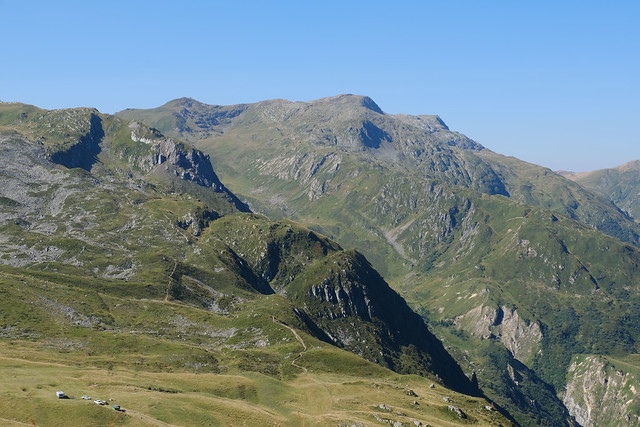
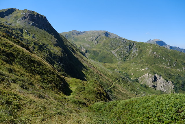
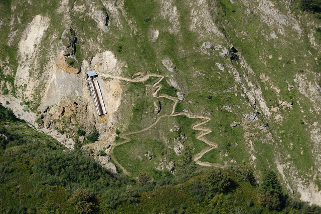
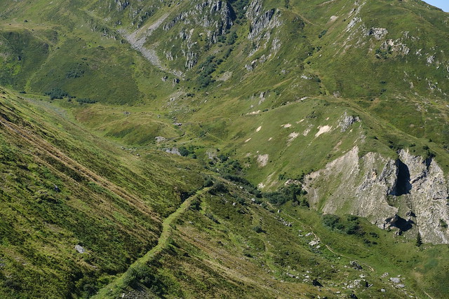
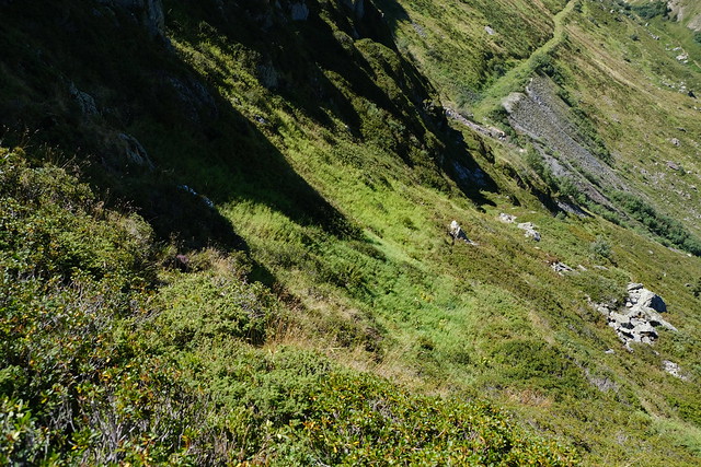
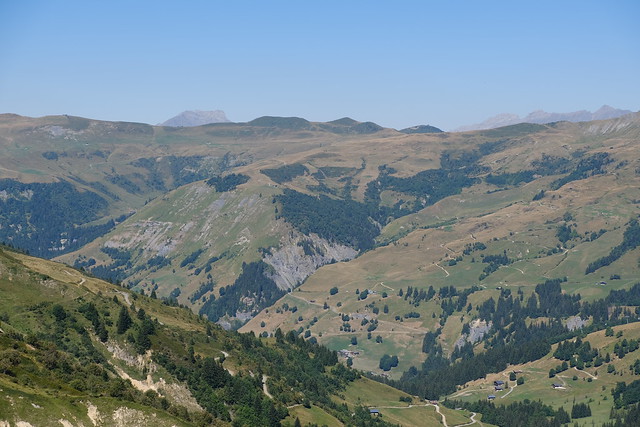
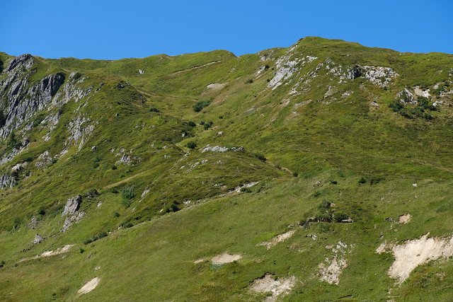
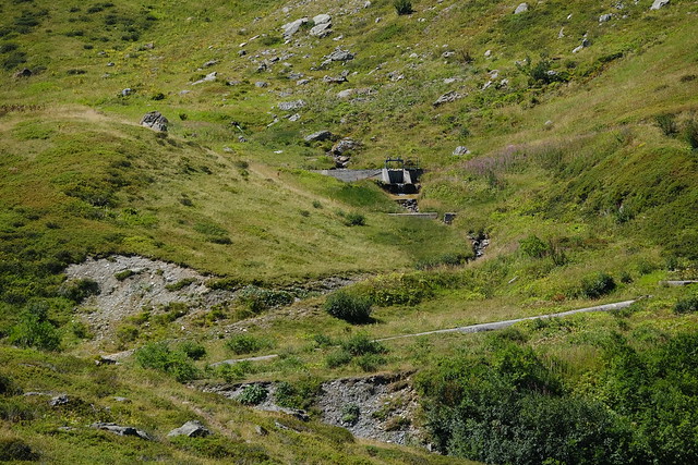
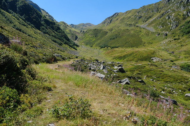
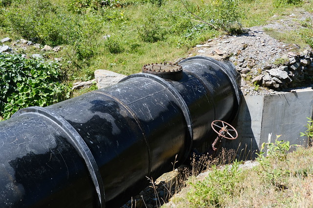
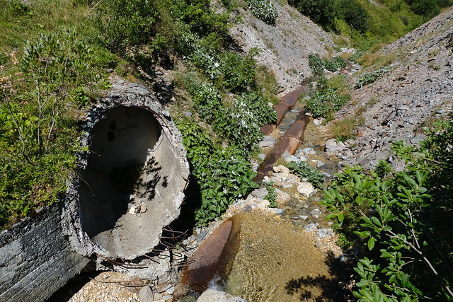
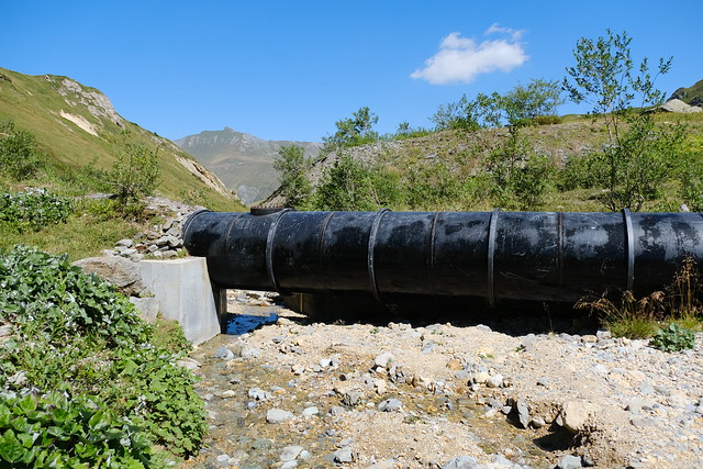
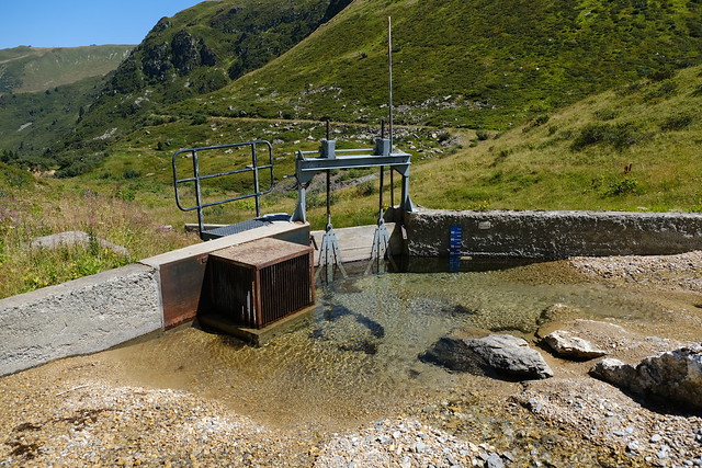
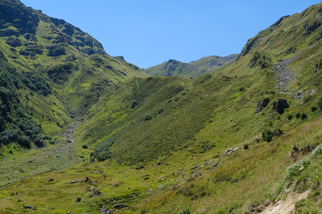
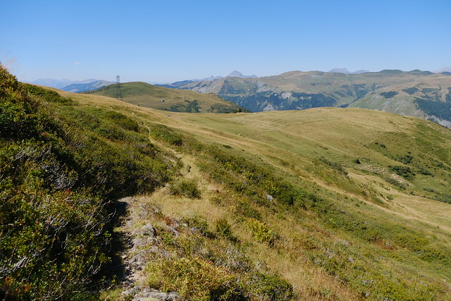
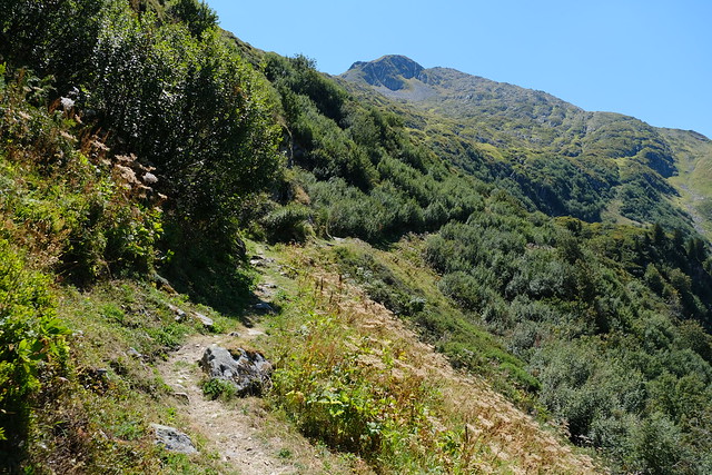
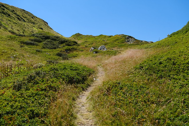
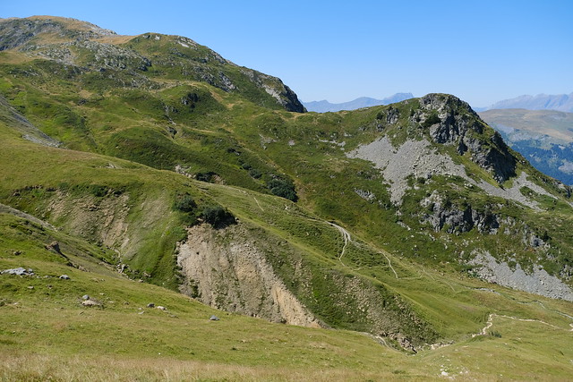
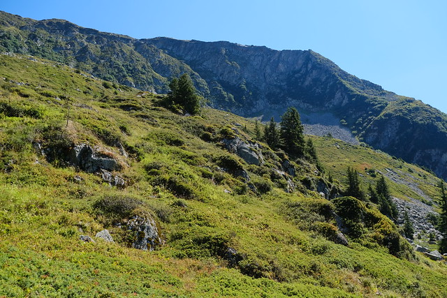
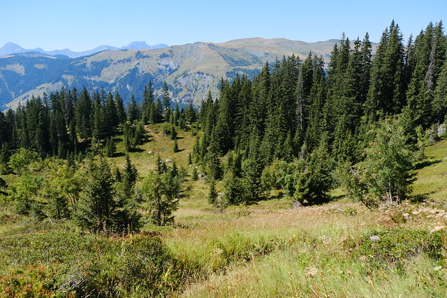
I then walked down towards La Grande Pierrière, like when I walked around Tête de la Cicle a few years ago. This time, I left it quickly and walked a path to Combe Durand: It was a trail marked on the IGN map but which was not very visible on the ground (actually, not at all at the beginning). To reach the Combe, there was steep passage down. At some point, I arrived at Combe Durand and followed a track road that led to pipes transporting water from Glacier de Tré la Tête to Lac de la Girotte. I forded the river there (Ruisseau d’Entre-Roches) and walked a small trail towards Lac de la Girotte.
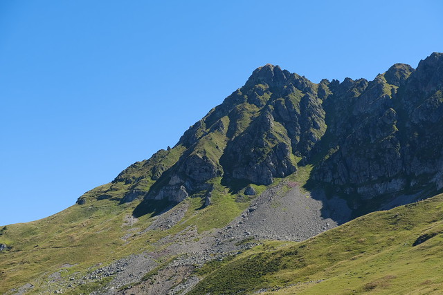
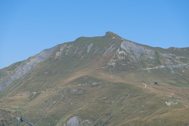
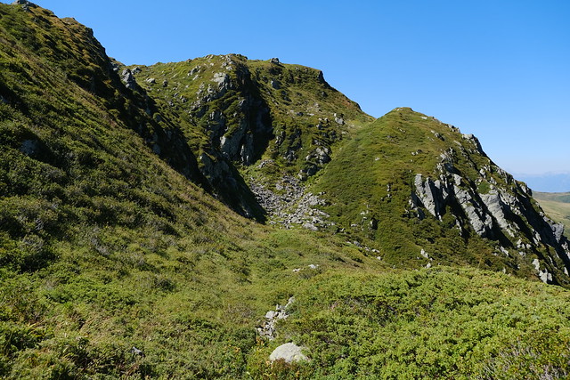
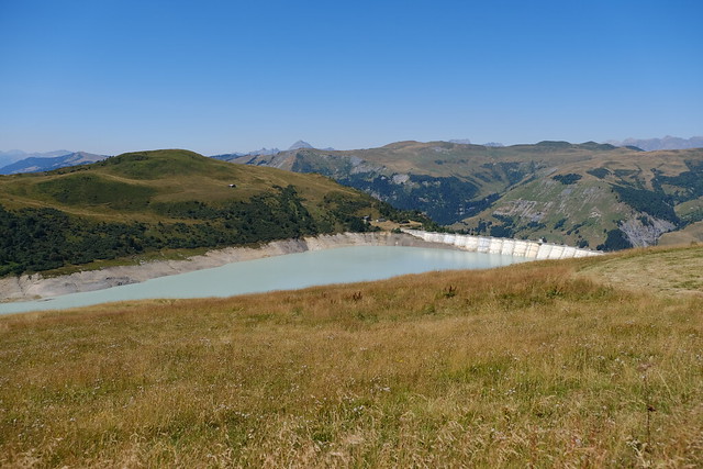
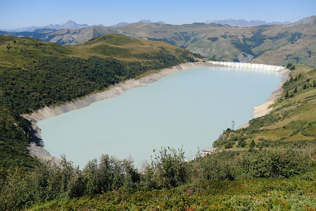
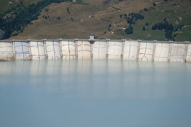
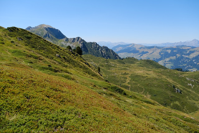
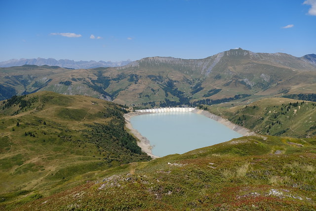
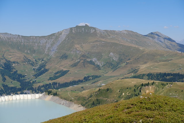
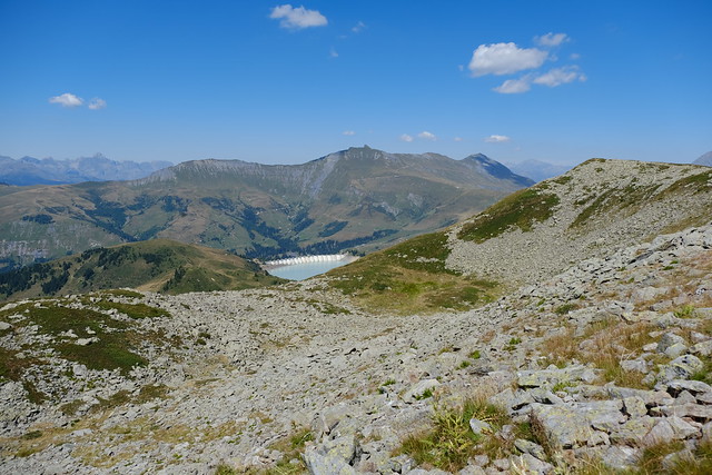
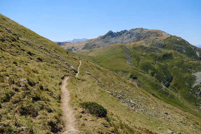
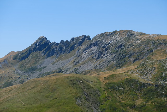
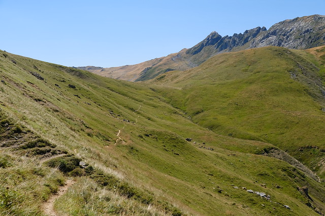
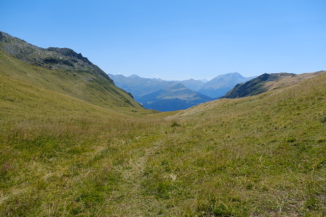
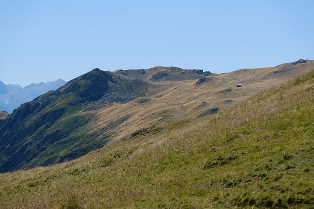
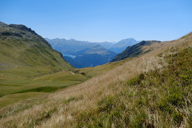
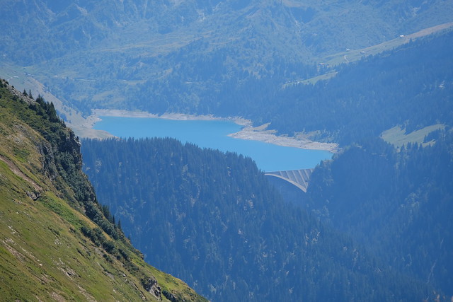
I then walked up towards Lac Noir, below Rochers des Enclaves. There was a good view of Lac de la Girotte and the dam on the way. I arrived at Col du Sallestet after a while. In the morning, from the Col, I had planned to pass through Pas d’Outray on the way to Beaufort, but I figured there was not enough time, so I took instead a small trail marked on OpenStreetMap that passed on the other side of Montagne d’Outray (however, when I looked at it later at home, it was actually not much shorter). At some point, there was a steep path to reach a dirt road. I followed it for while, until a smaller trail that went down towards Beaufort. Then, there was a series of trails and passages on paved and dirt roads in order to reach the village in the valley. To get back home, I boarded a summer shuttle (Navette Nature) to Albertville then took a train to Annecy, passing through Chambéry.
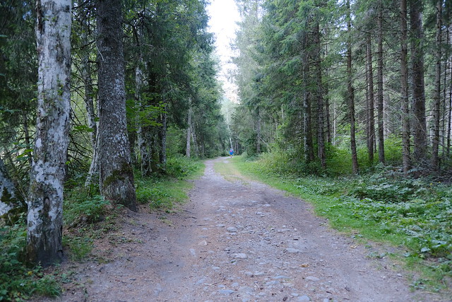
▲ Path along the Bon Nant river.
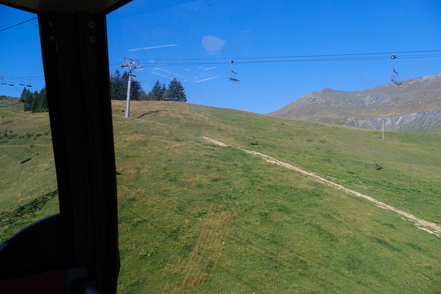
▲ On Télécabine du Signal.
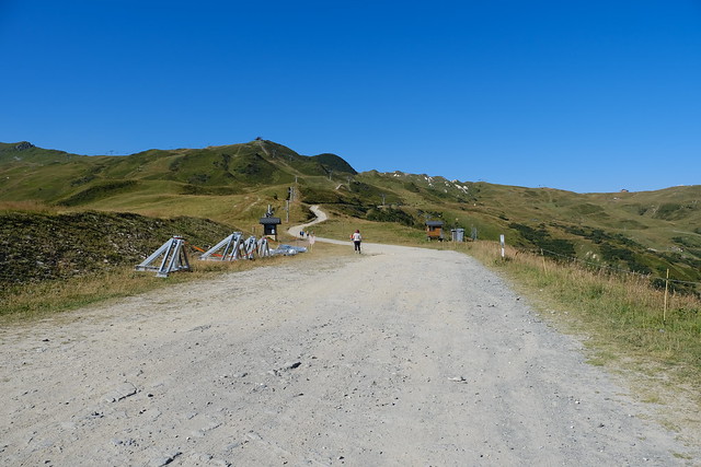
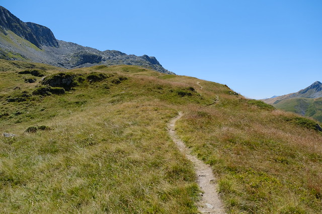
▲ Path towards Col du Joly at Le Signal.
▲ Mont Joly.
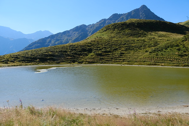
▲ Lac de Roselette.
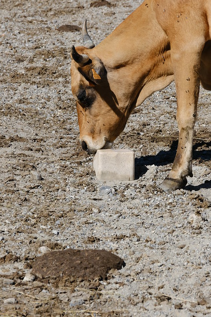
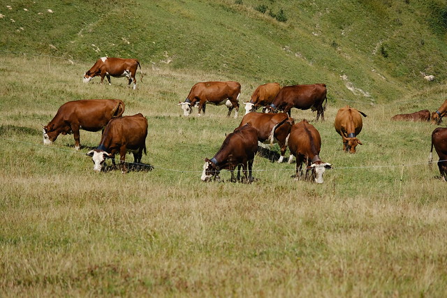
▲ Cow licking a block of salt.
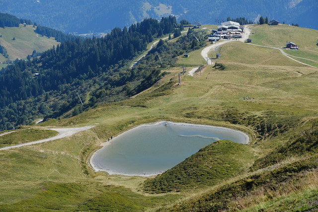
▲ Lac de Roselette and upper station of Télécabine du Signal.
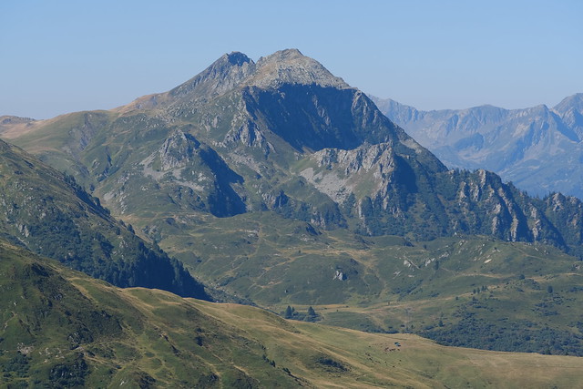
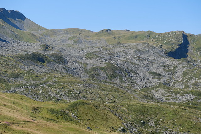
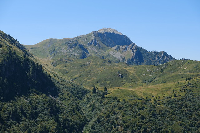
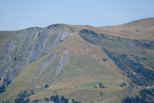
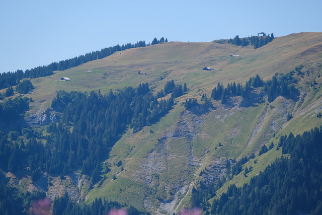
▲ Montagne d’Outray.
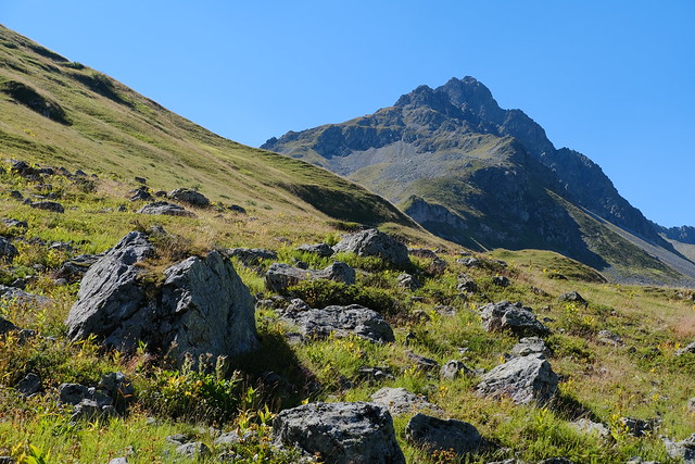
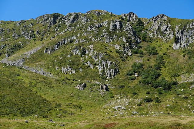
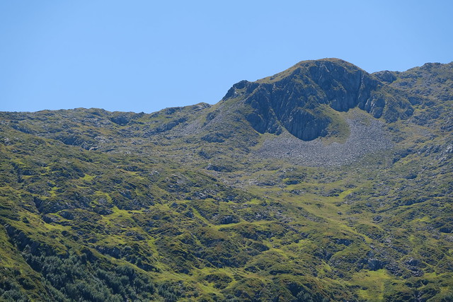
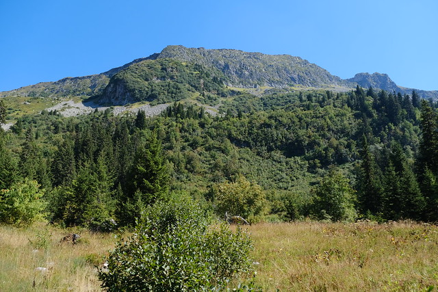
▲ Rochers des Enclaves.
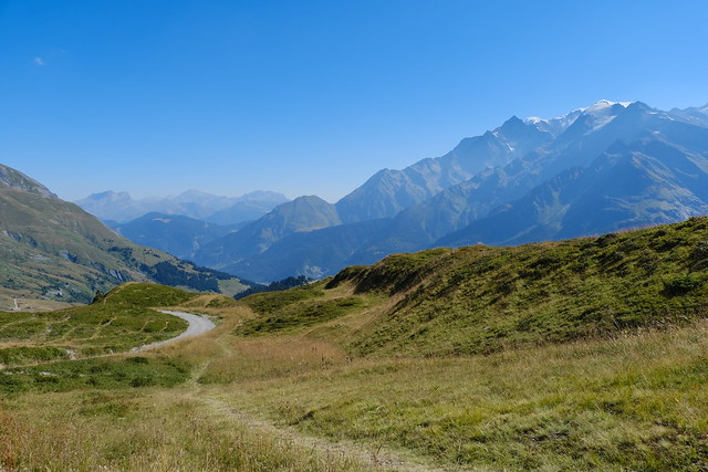
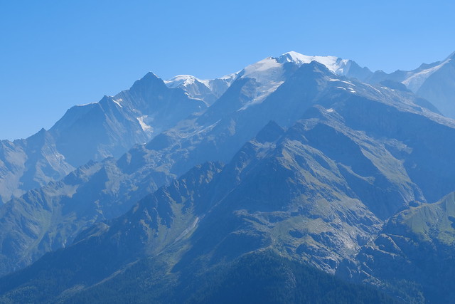
▲ Mont Blanc
▲ La Grande Pierrière.
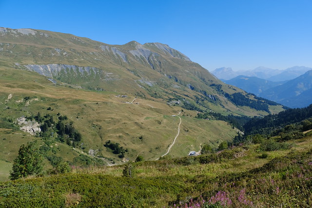
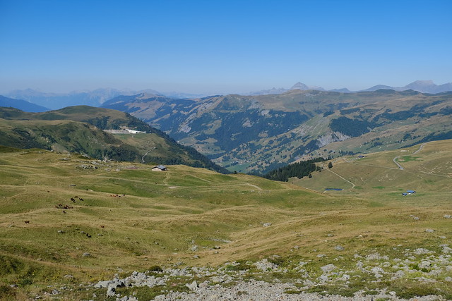
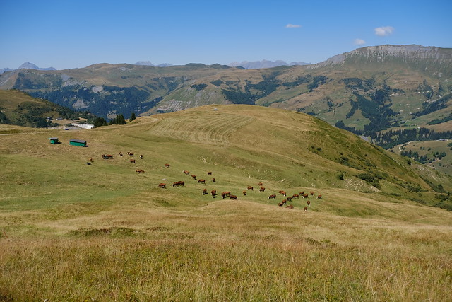
▲ Pasture. Lac de la Girotte is visible.
▲ Tête de la Cicle.
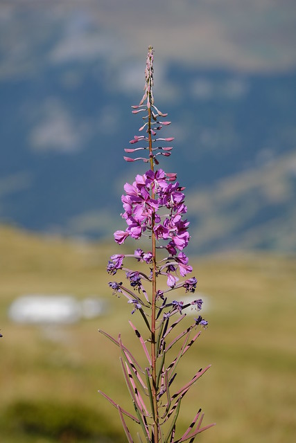
▲ Fireweed.
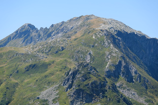
▲ Aiguille de Roselette.
▲ Aiguille Croche.
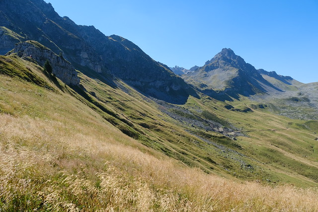
▲ Path to Combe Durand. At first, the path was not much visible. It went up a little.
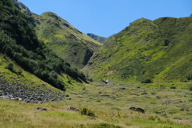
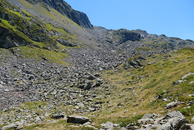
▲ Combe Durand.
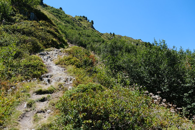
▲ Steep path to Combe Durand.
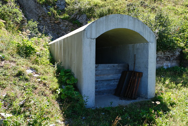
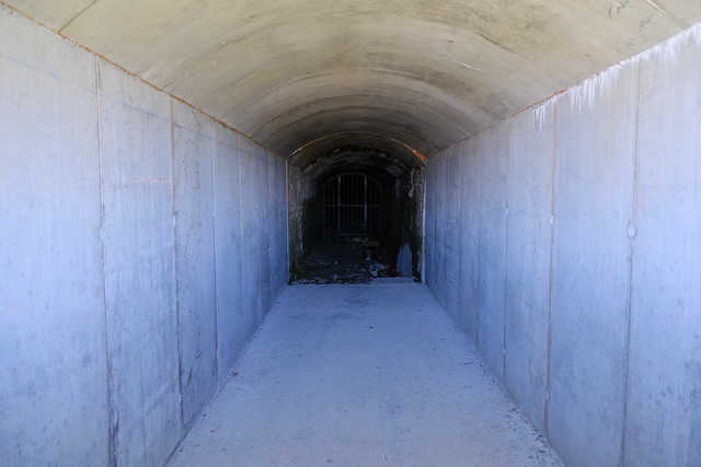
▲ Structure to observe the water pipeline from Glacier de Tré-la-Tête to Lac de la Girotte.
▲ In Combe Durand.
▲ Pipe.
▲ Broken pipe.
▲ I forded the river here.
▲ Lock.
▲ The path I took on the way down.
▲ Col du Joly.
▲ Lac de la Girotte, back on a marked path.
▲ Montagne d’Outray. Col du Sallestet is on the left.
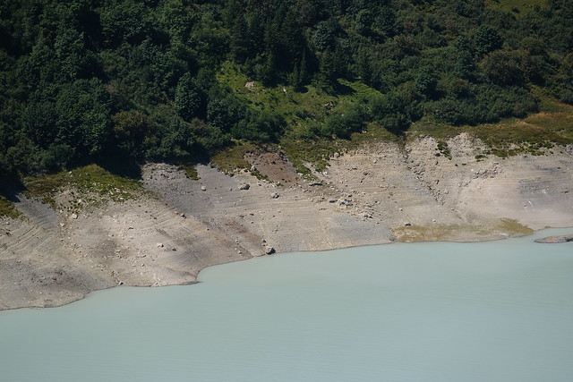
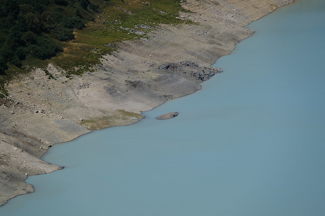
▲ Low water at Lac de la Girotte.
▲ Dam.
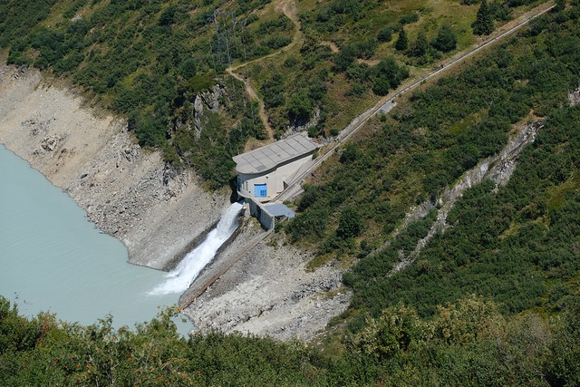
▲ Exit of the water pipe.
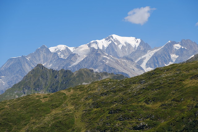
▲ Mont Blanc.
▲ Lac de la Girotte seen from a viewpoint.
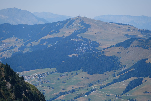
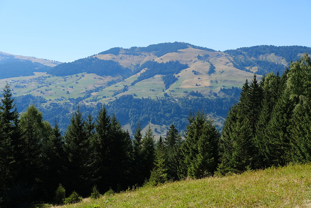
▲ Mont Bisanne.
▲ Montagne d’Outray.
▲ I will pass through that saddle on the way down to Beaufort.
▲ Lac Noir, with Rochers des Enclaves above.
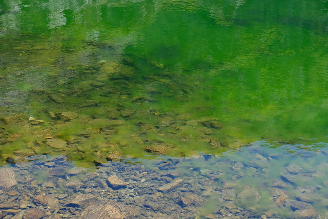
▲ Green water.
▲ Col du Sallestet.
▲ At Col du Sallestet.
▲ Towards Pas d’Outray.
▲ On the way to Lac du Bout du Crêt.
▲ Lac de Roselend.
▲ Pointe Percée.
▲ Aiguille Croche.
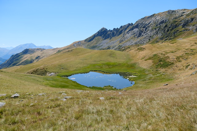
▲ Lac du Bout du Crêt.
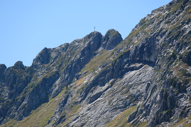
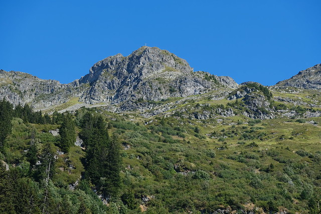
▲ Cross of Montagne d’Outray.
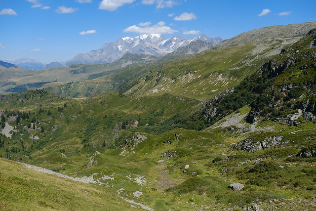
▲ Mont Blanc.
▲ Steep path down.
▲ Montagne d’Outray.
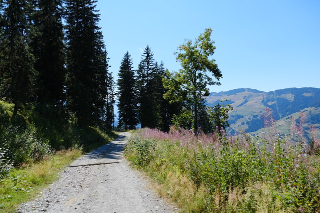
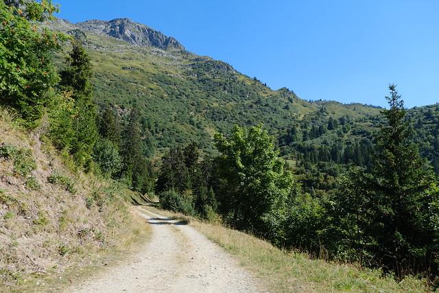
▲ Dirt road.
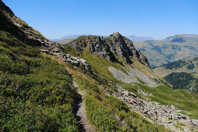
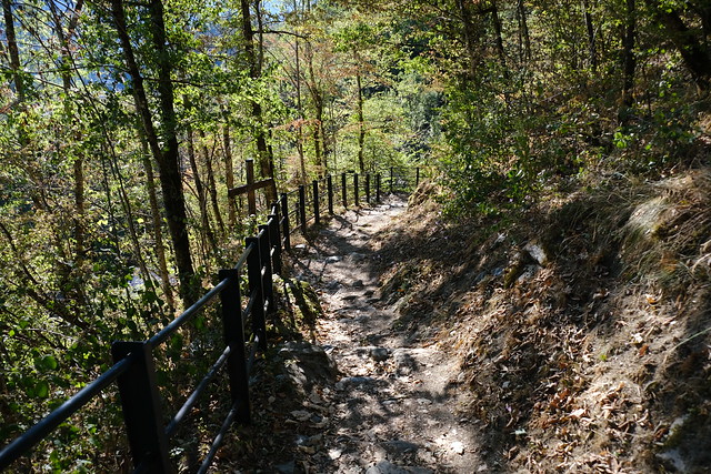
▲ Path towards Beaufort.
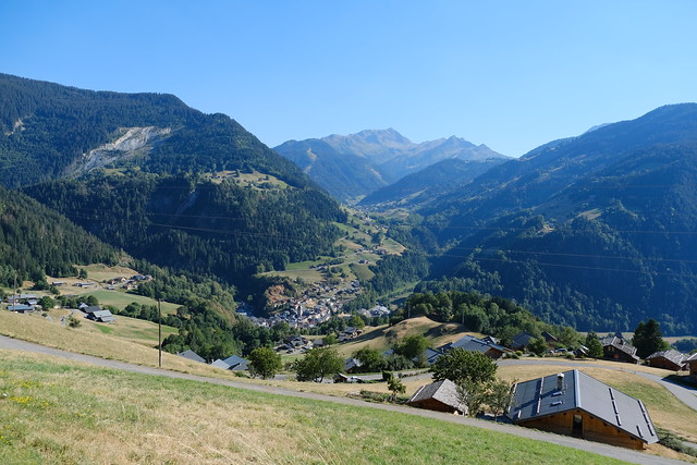
▲ Valley towards Albertville.
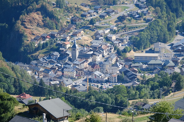
▲ Village of Beaufort.
▲ Valley towards Arêches with Grand Mont d’Arêches in the background.
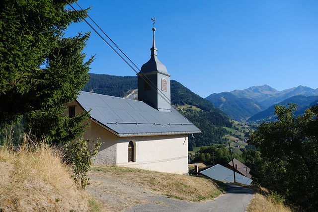
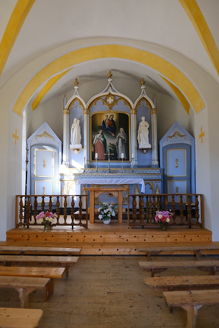
▲ Chapelle des Curtillets.
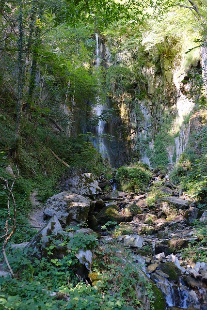
▲ Cascade de la Rochette.
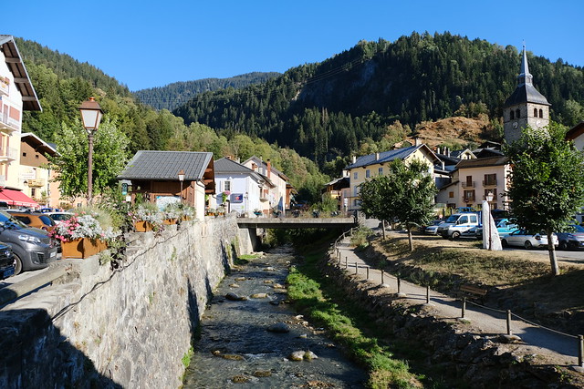
▲ Doron river in the village of Beaufort-sur-Doron.

