Hike to Signal de Bernex & Nant d'Avril
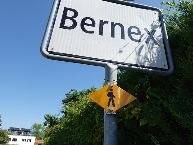
At the beginning of summer 2020, I went on a hike to Signal de Bernex: At 510 m, it is the higest “peak” inside the canton of Geneva (but not its highest point: At 517 m, Les Arales in the east of Geneva is higher but the area looks mostly flat). I then crossed the Rhône and walked a trail along Nant d’Avril on the way to the CERN in Meyrin.
Here is a map of the path I walked:
- Download path KML
- Download large map
- More photos on Flickr
- Day of the hike: June 23rd, 2020
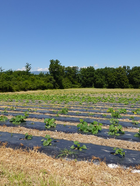
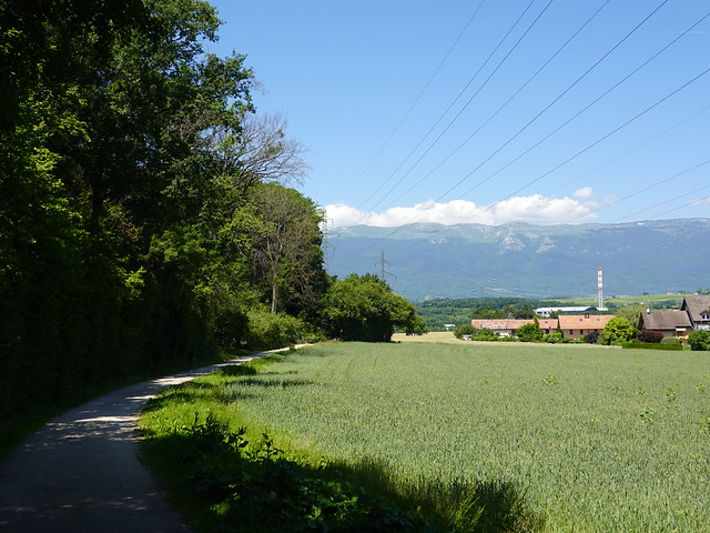
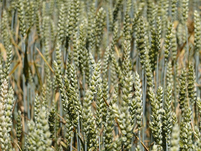
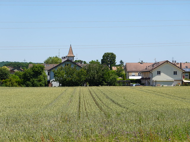
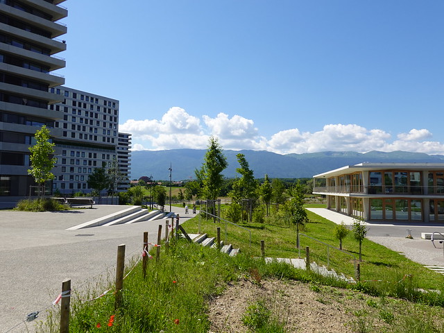
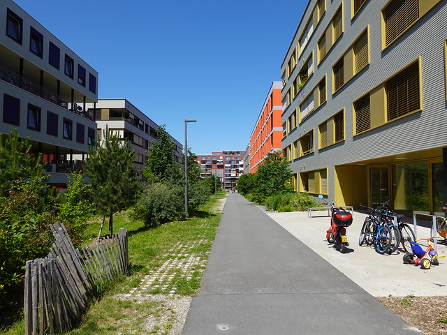
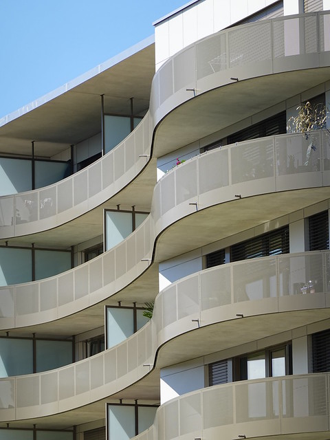
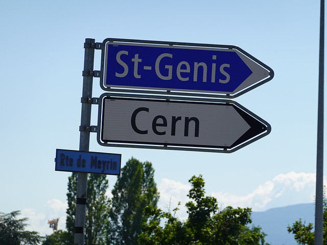
In the morning, I took a TPG 272 bus and got off at Saint-Julien-en-Genevois, still in France. I headed to the Aire river, crossed into Geneva and walked the path along the river for a while. At Pont de Lully, I started on the short ascent to Signal de Bernex. There was a good view from up there. I went down to the village of Bernex then walked through wheat fields and forests in order to reach Aire-la-Ville. I crossed the Rhône river on Pont de Peney on the way to the hamlet of Peney in Satigny. The trail along Nant d’Avril started there. I followed it upstream until Zone industrielle de Meyrin-Satigny (Zimeysa). I made a detour to the new Écoquartier Les Vergers to have a look at the buildings. Finally, I walked past the CERN and crossed into France (town of Saint-Genis-Pouilly). I then got back to Meyrin and boarded a tramway to the Geneva - Cornavin train station.
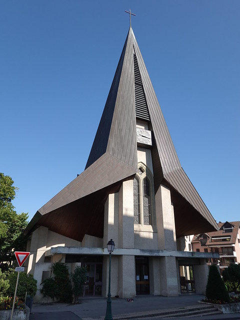
▲ Église Saint-Julien-de-Brioude in Saint-Julien-en-Genevois.
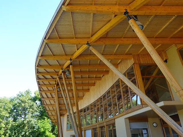
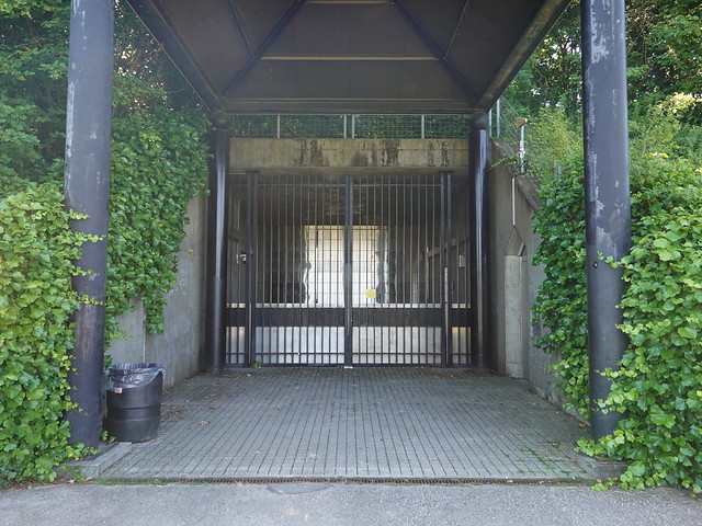
▲ Gymnase de la Paguette.
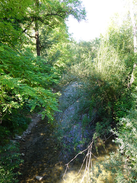
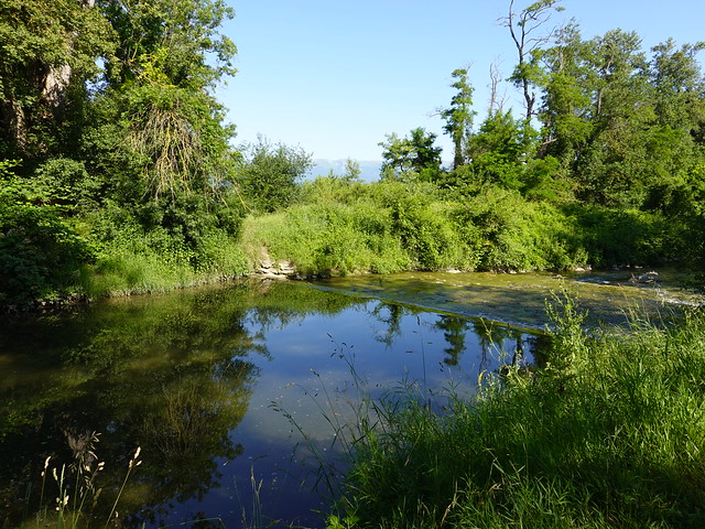
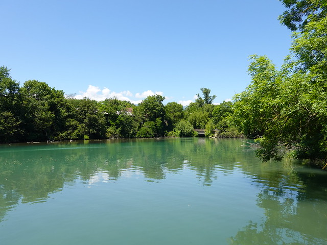
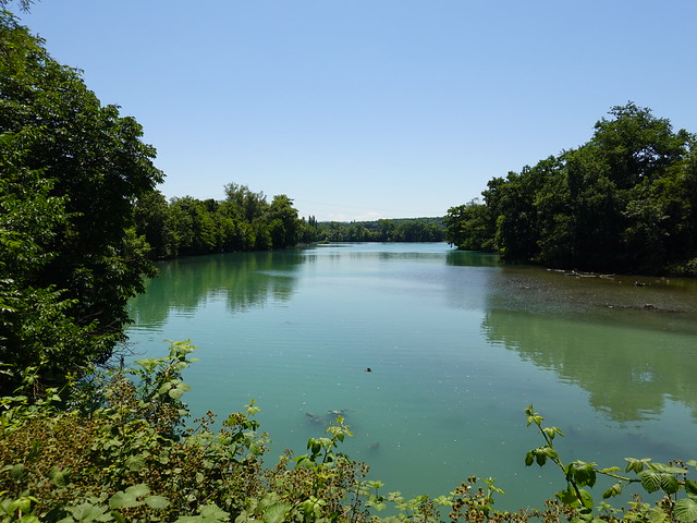
▲ Aire river at the border with Geneva.
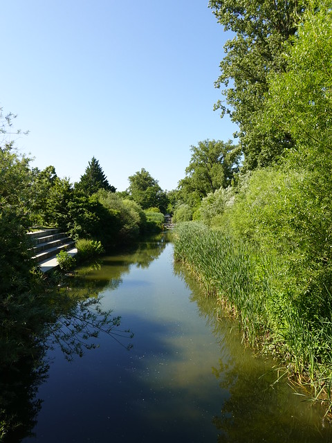
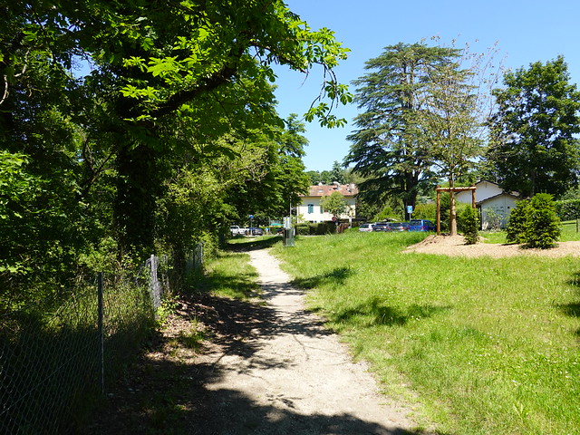
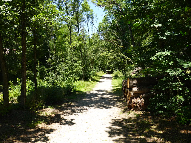
▲ Promenade de l’Aire.
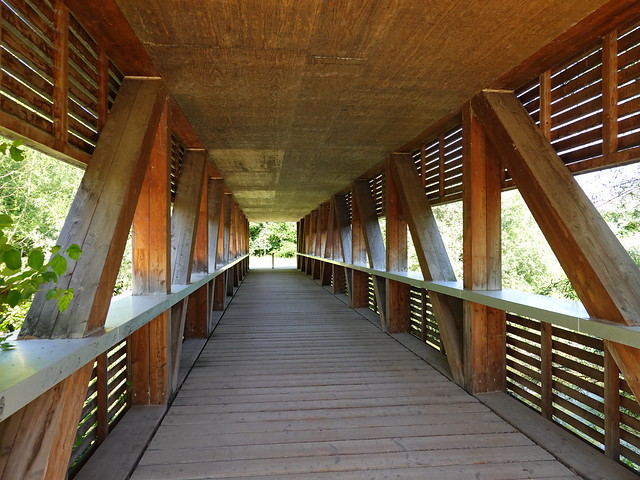
▲ Passerelle des Bis.
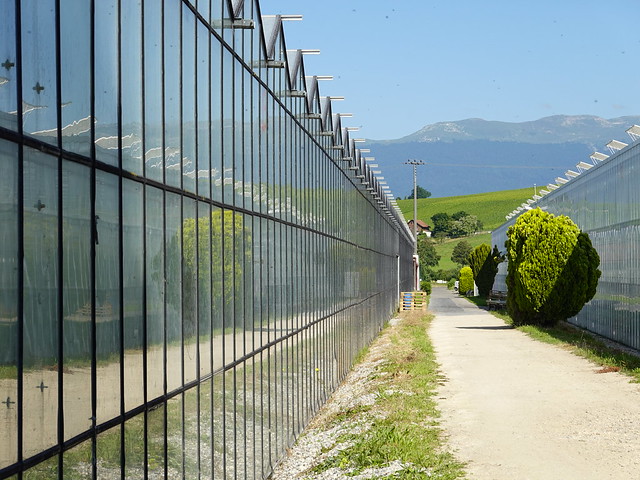
▲ Greenhouse.
▲ Signal de Bernex.
▲ Pont de Lully.
▲ I left the bank of the Aire river. The river path actually goes all the way to Lancy - Pont Rouge.
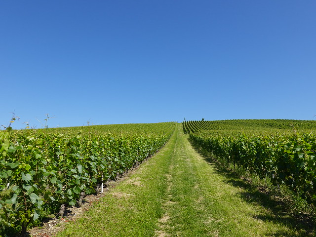
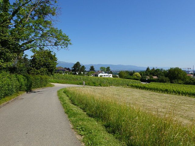
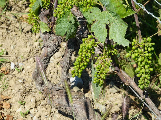
▲ Path through a vineyard in Lully.
▲ Greenhouse.
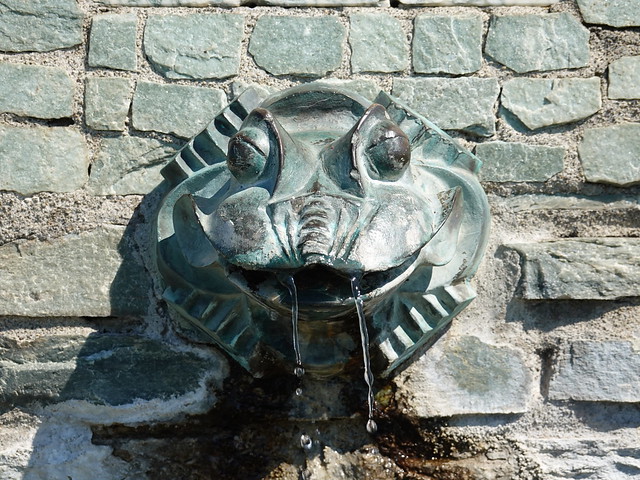
▲ Frog fountain on the way to Signal de Bernex.
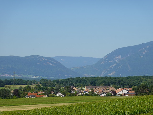
▲ Towards Défilé de l’Écluse.
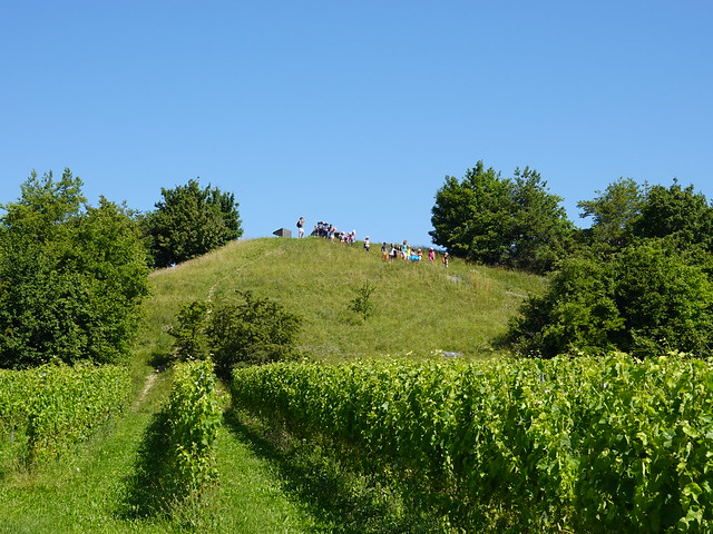
▲ Children walking down Signal de Bernex.
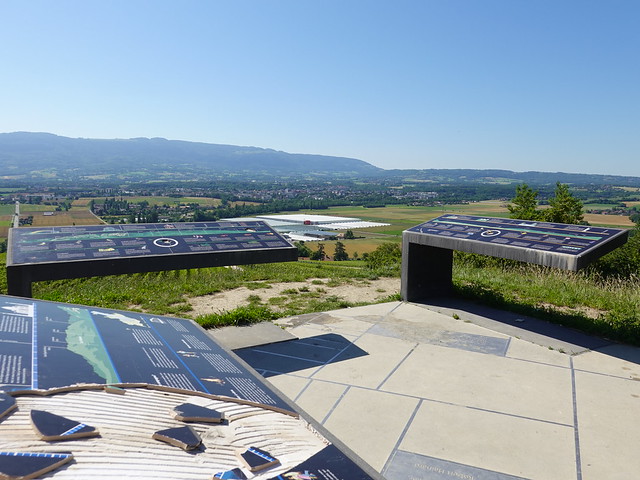
▲ Information tables at the top of Signal de Bernex.
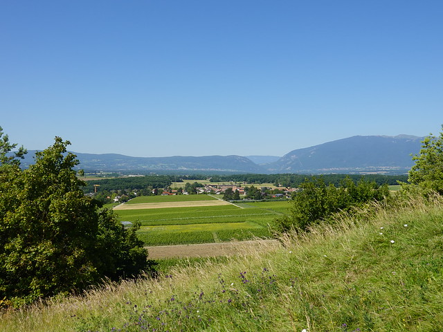
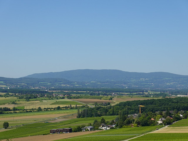
▲ Le Vuache.
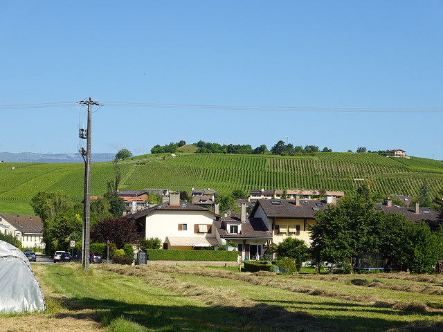
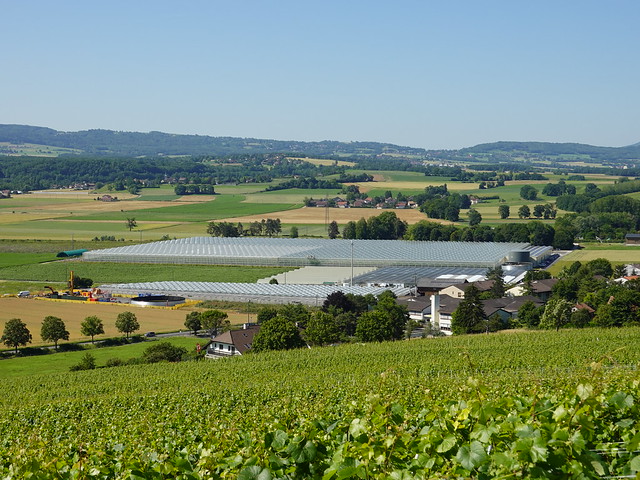
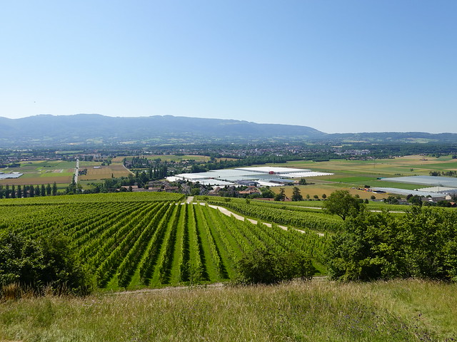
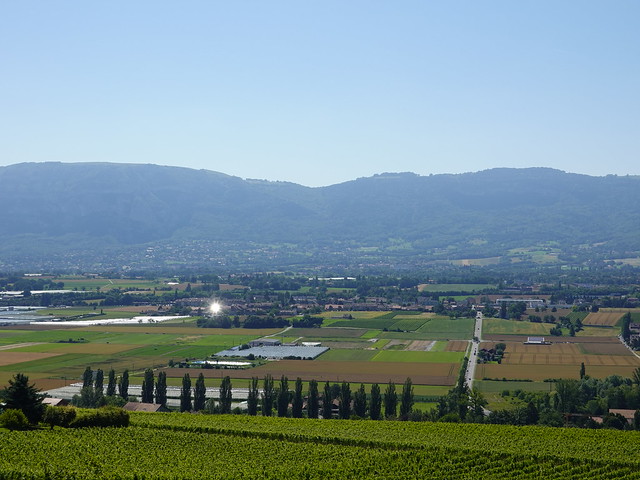
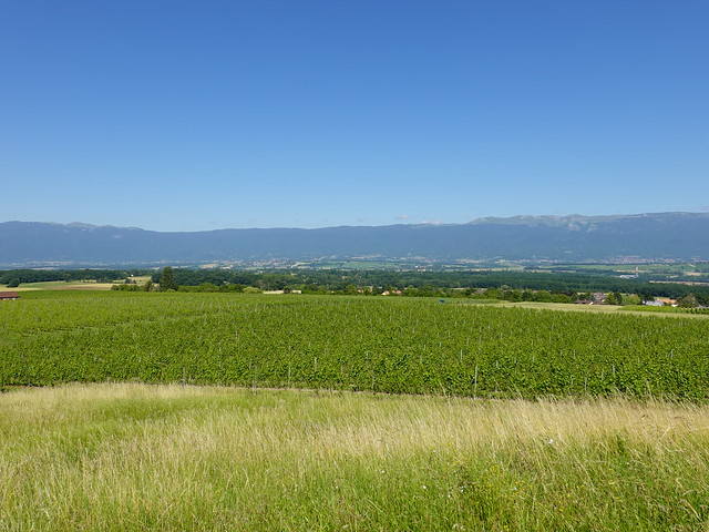
▲ Vineyard and greenhouse.
▲ Grand Crêt d’Eau.
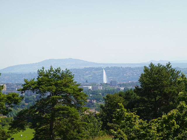
▲ Jet d’Eau.
▲ Salève.
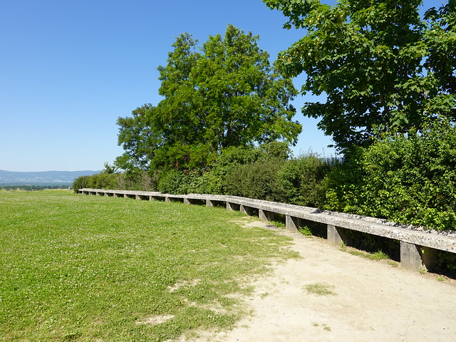
▲ Large bench below Signal de Bernex.
▲ Water reservoir.
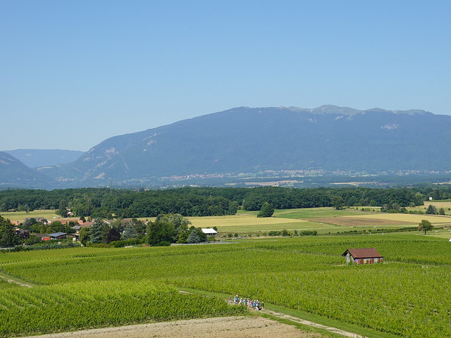
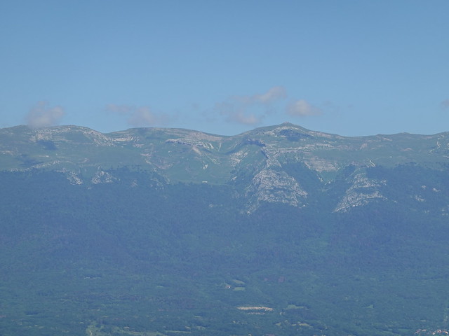
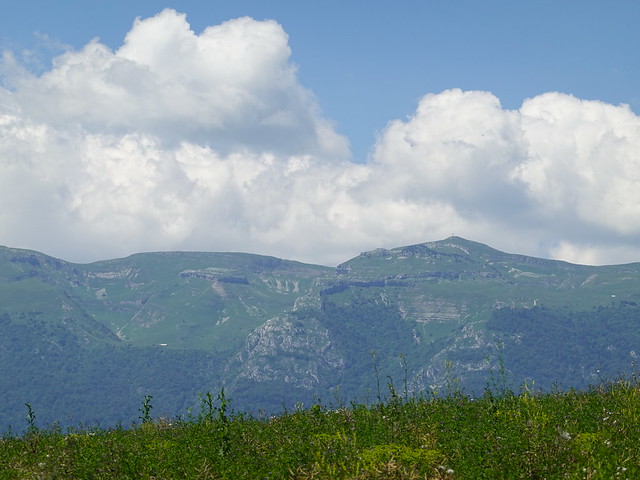
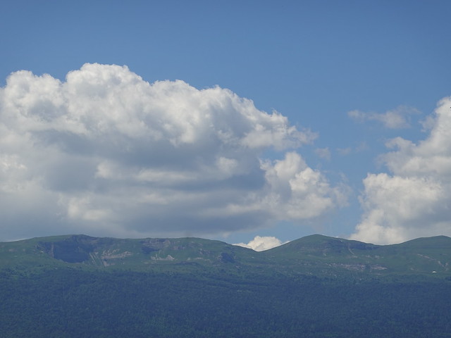
▲ Le Reculet.
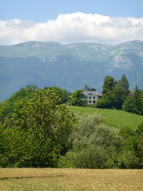
▲ More vineyard.
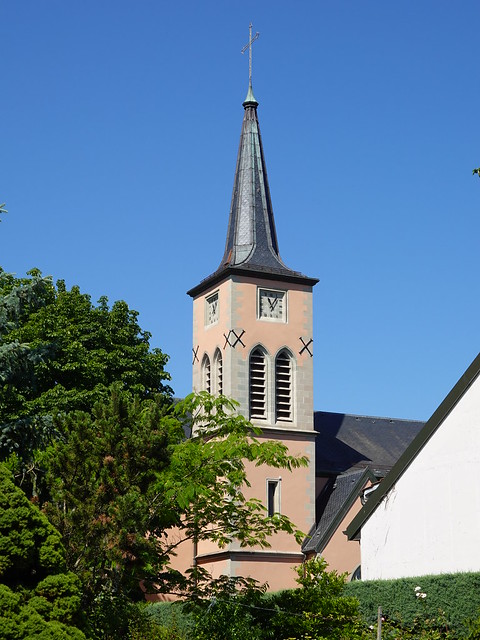
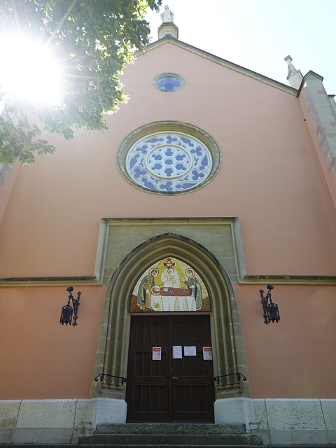
▲ Église Saint-Maurice in Bernex.
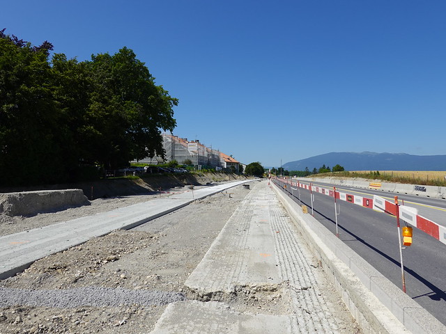
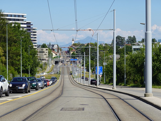
▲ Tramway construction (Line 14 extension) in 2020. The path I wanted to take was blocked and I had to make a small detour to cross the road.
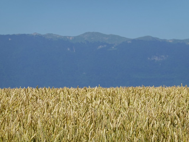
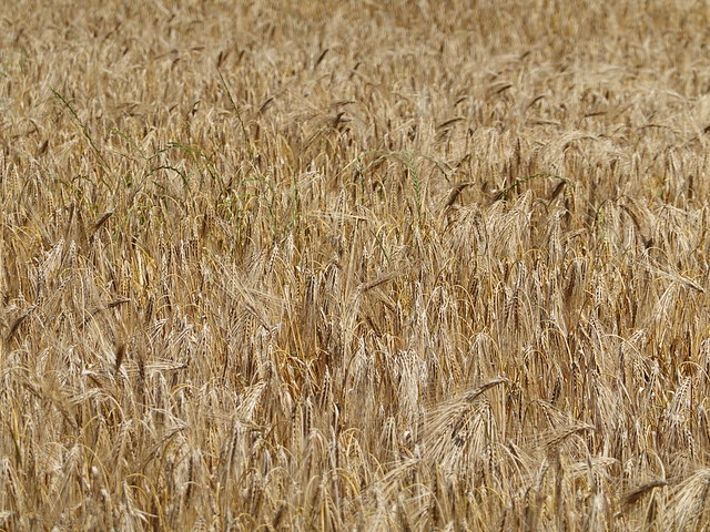
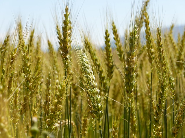
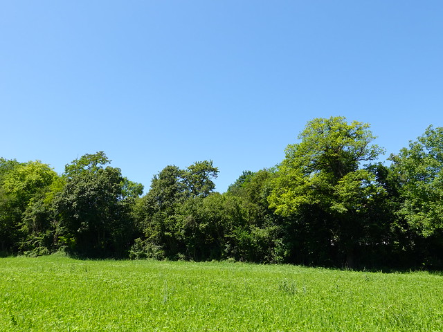
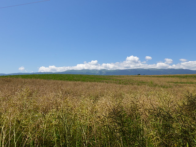
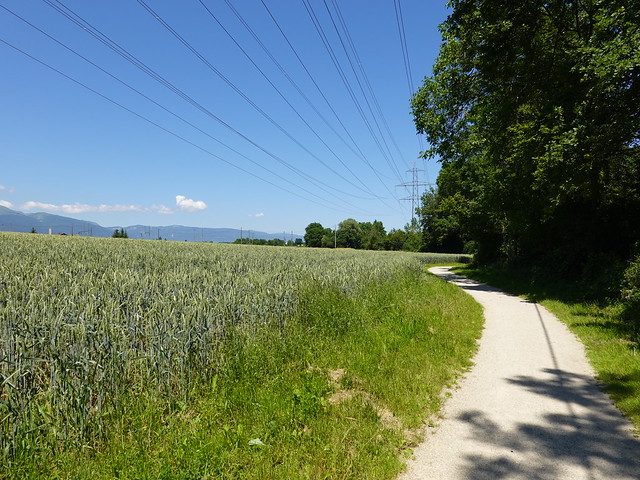
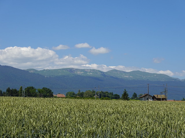
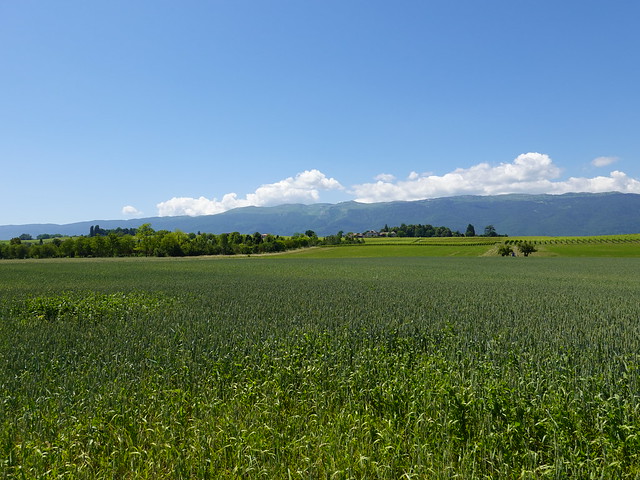
▲ Wheat field.
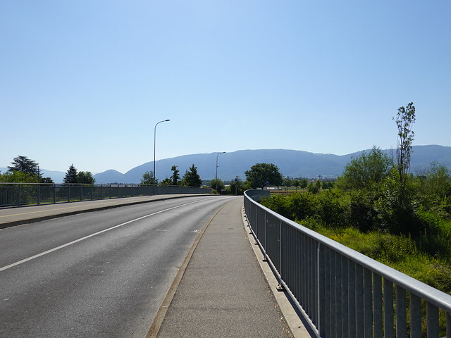
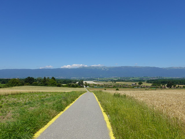
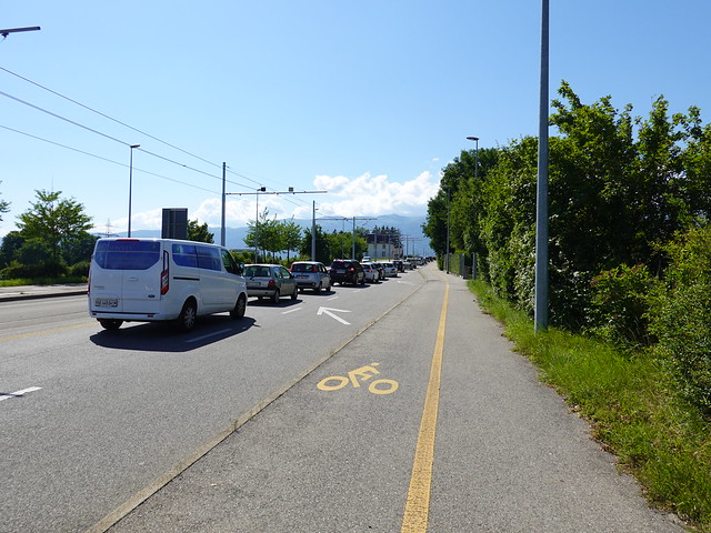
▲ Bike road.
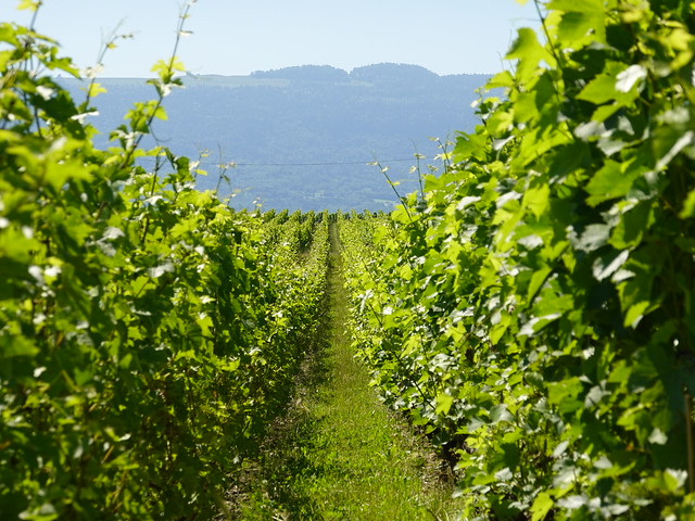
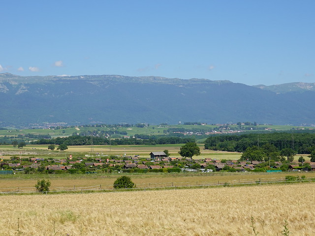
▲ More vineyards in the distance.
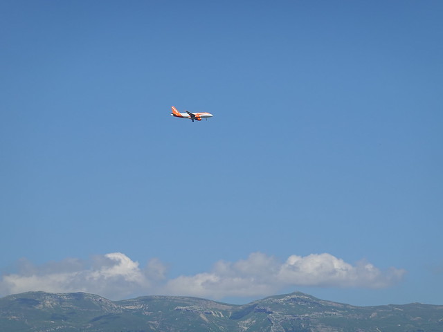
▲ EasyJet plane.
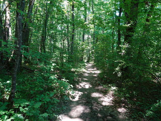
▲ In Bois de Saint-Victor.
▲ Merley river.
▲ Nant de Goy.
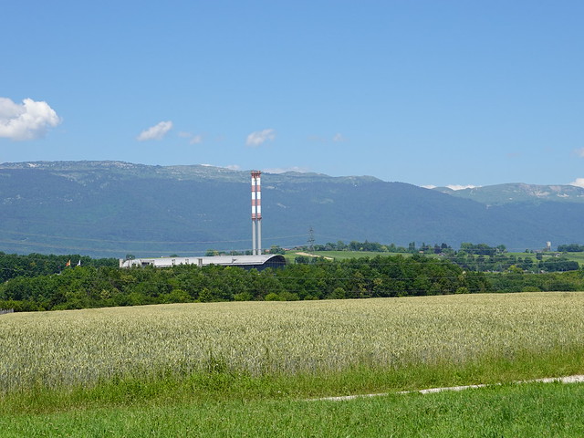
▲ Waste burning plant (Usine d’Incinération des Ordures Ménagères des Cheneviers).
▲ In the village of Aire-la-Ville.
▲ Église Saint-Louis.
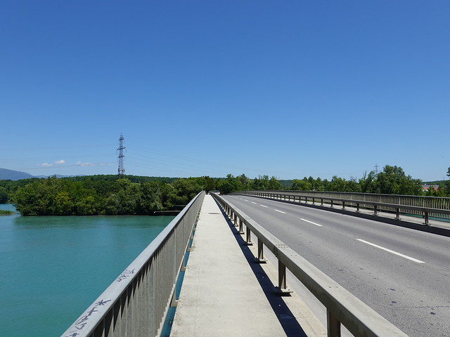
▲ Crossing the Rhône on Pont de Peney towards Satigny.
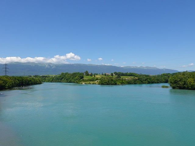
▲ The Verbois dam is downstream that way.
▲ The reservoir of the Verbois Dam has flooded this area.
▲ At the confluence of Nant d’Avril and Rhône.
▲ Start of the path along Nant d’Avril.
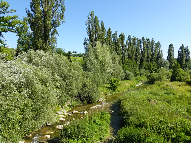
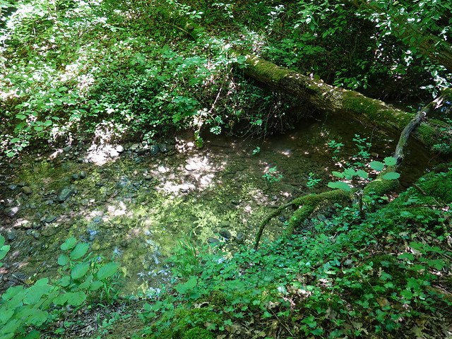
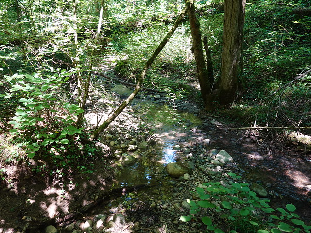
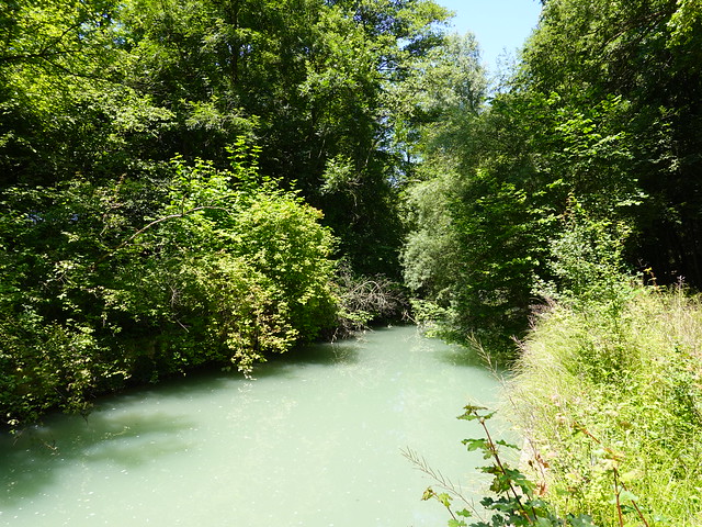
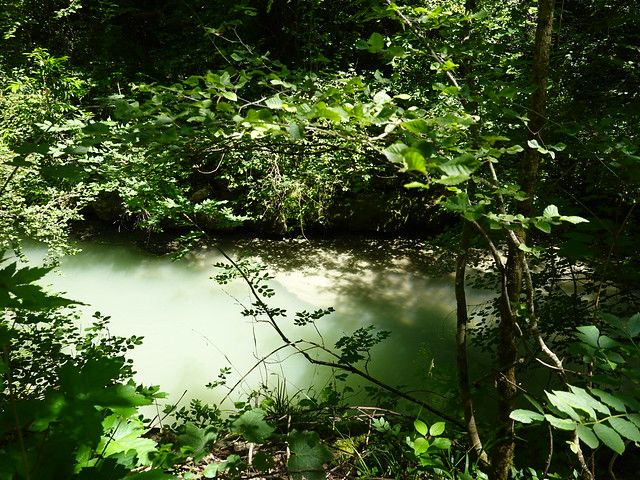
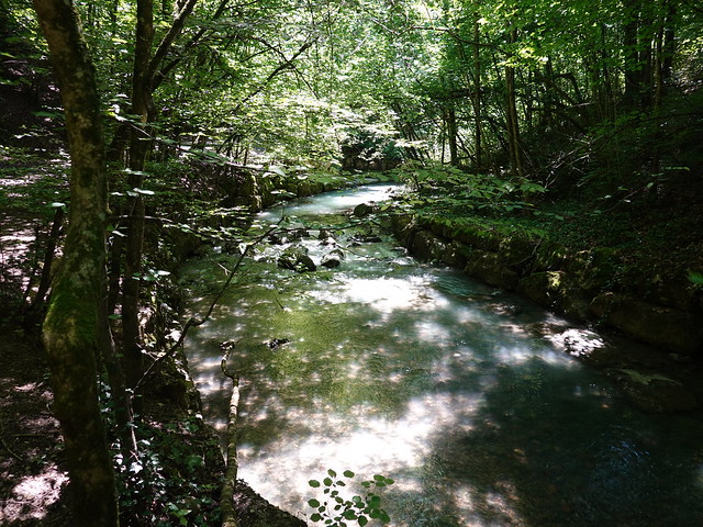
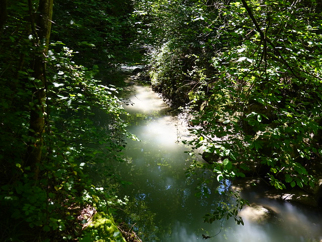
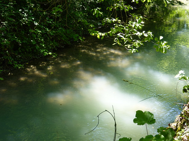
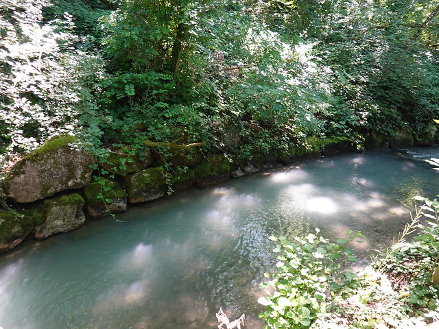
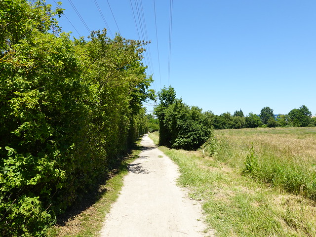
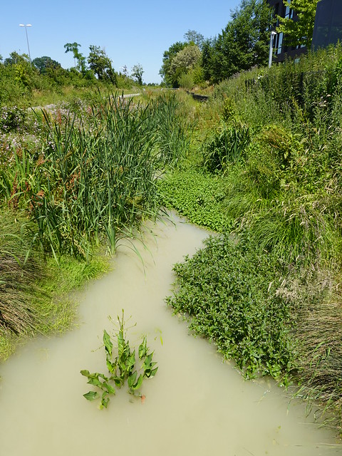
▲ Nant d’Avril.
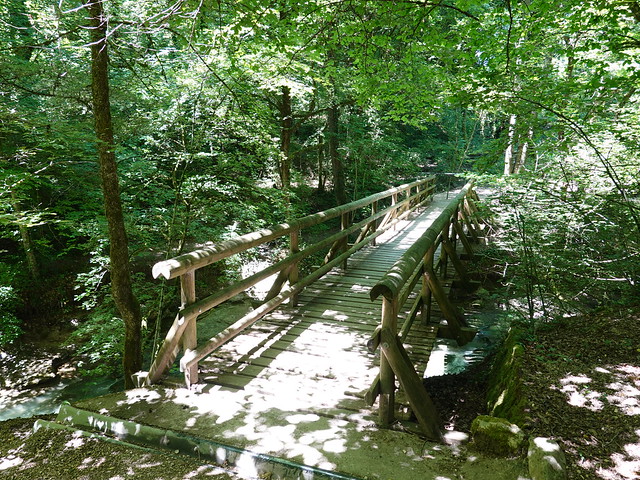
▲ There are a few bridges on the path.
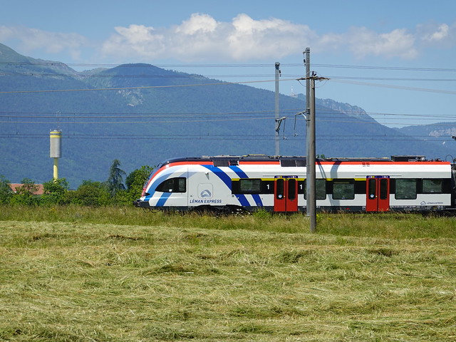
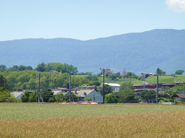
▲ Léman Express train.
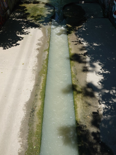
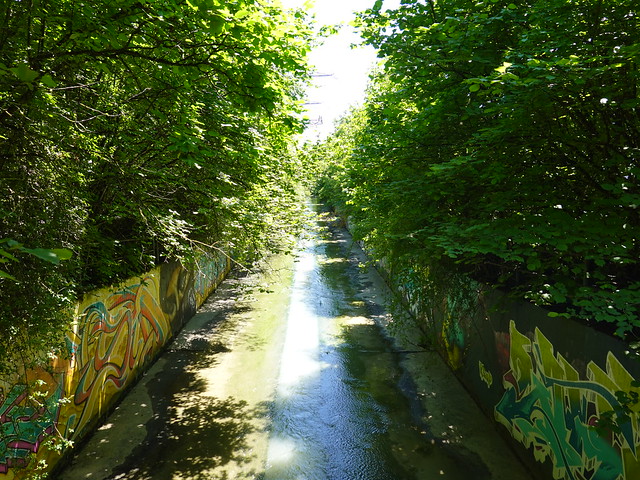
▲ From that point, the Nant d’Avril is canalized.
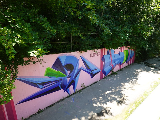
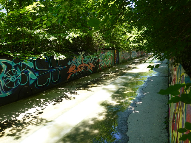
▲ The canal is lined with walls covered with many graffiti.
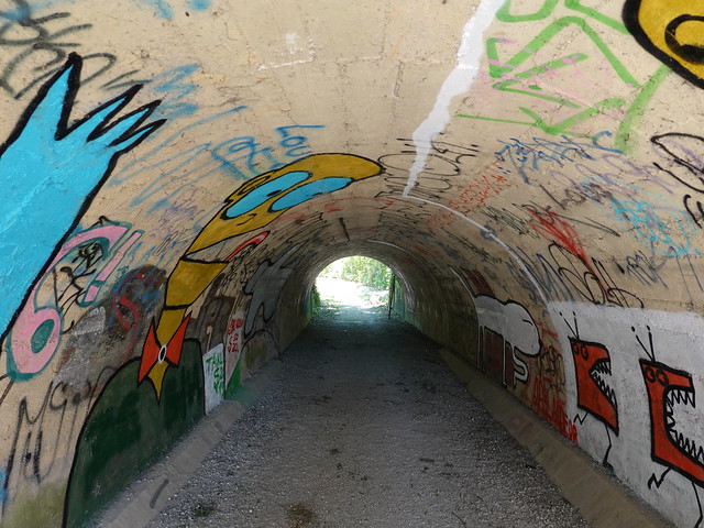
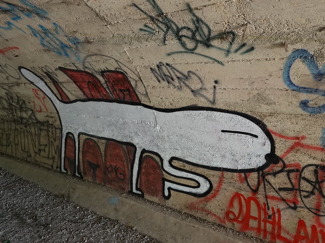
▲ That tunnel under the road had many weird graffiti.
▲ Ulysses 31 graffiti.
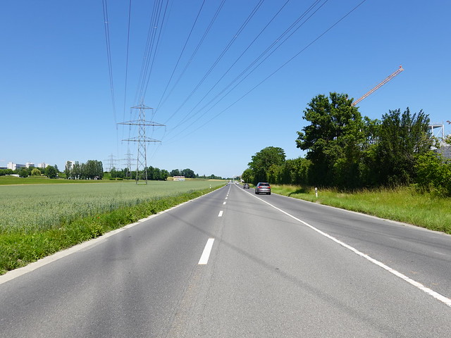
▲ In Zone industrielle de Meyrin-Satigny (Zimeysa). At that point, the Nant d’Avril goes underground until France. I continued walking towards the CERN.
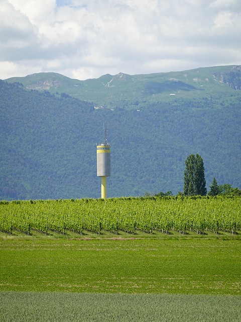
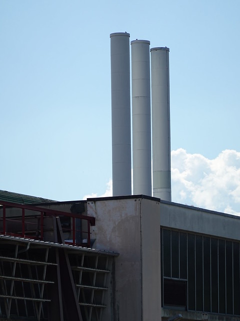
▲ Water tower of CERN.
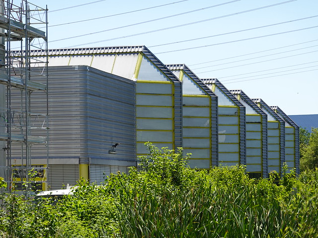
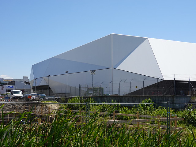
▲ Logistics center of the Red Cross (CICR).
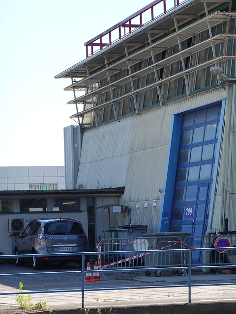
▲ CERN.
▲ An affluent of Nant d’Avril.
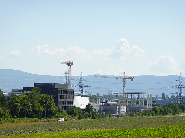
▲ Hewlett-Packard Enterprise.
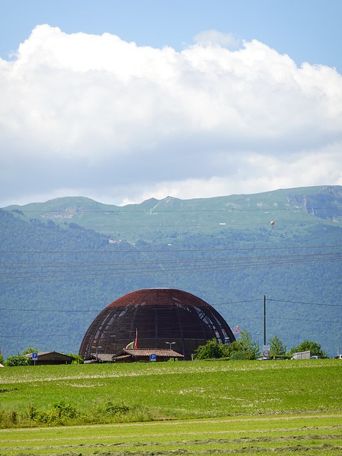
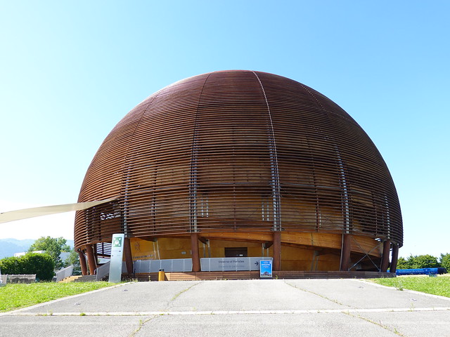
▲ Globe de la Science et de l’Innovation at the CERN.
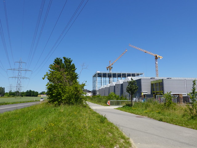
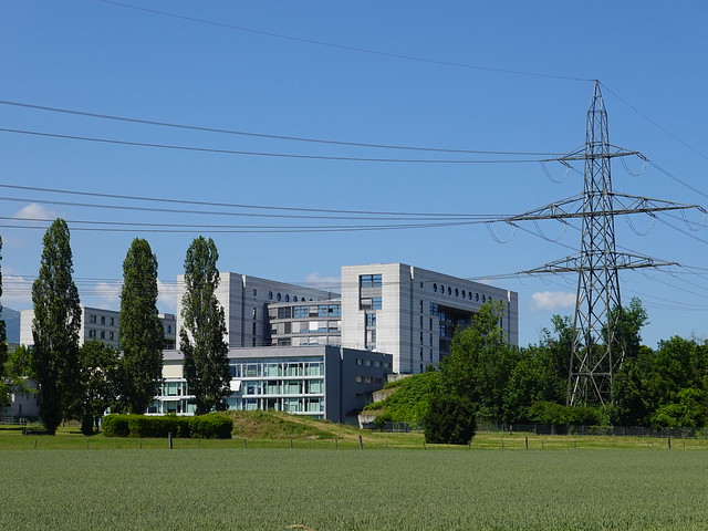
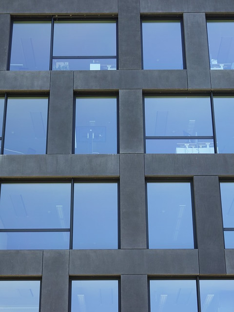
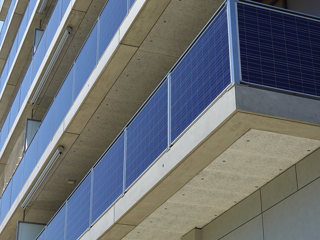
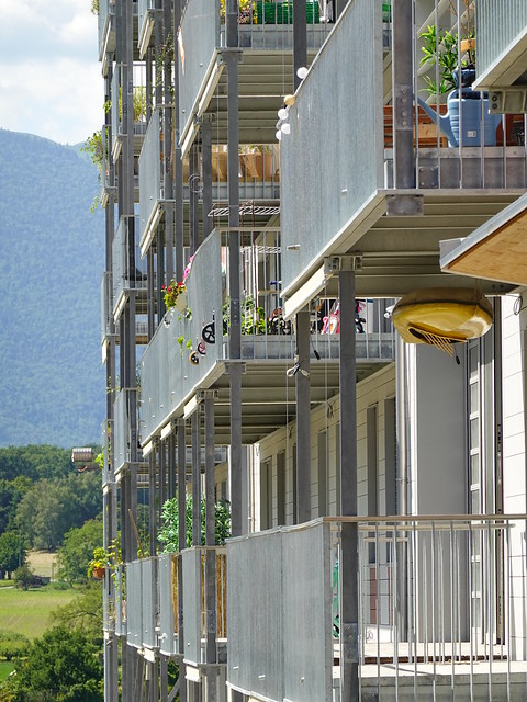
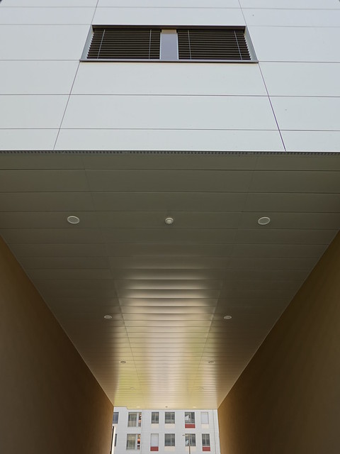
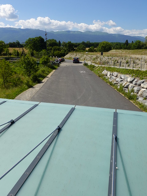
▲ Building covered with solar panels at Écoquartier Meyrin - Les Vergers.
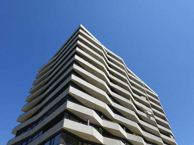
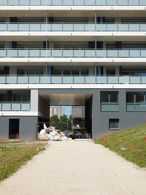
▲ There were still some buildings under construction.
▲ Towards the border with France.
▲ Entrance of CERN.
▲ Globe de la Science et de l’Innovation from up close. Unfortunately, it was closed when I was there.
▲ CERN.
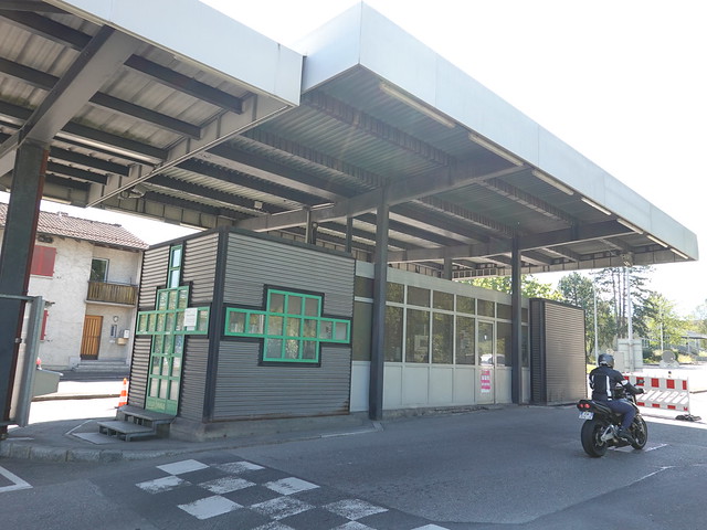
▲ Swiss customs office.
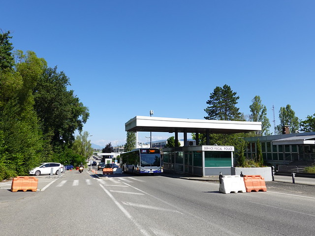
▲ French customs office seen from Saint-Genis-Pouilly (France).
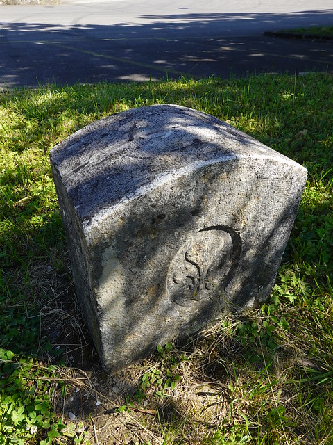
▲ Border stone.
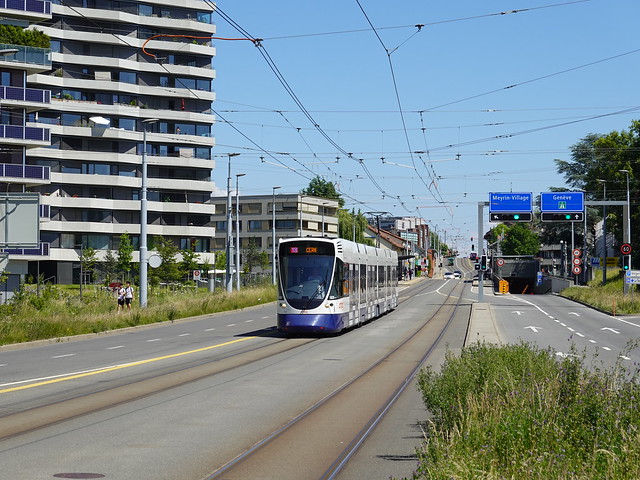
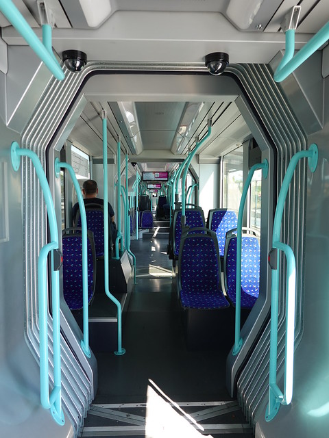
▲ Aboard the tramway to Geneva.
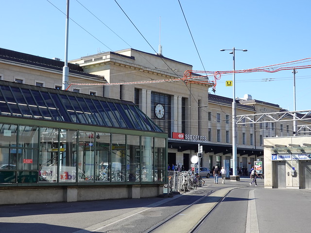
▲ Gare de Genève - Cornavin.
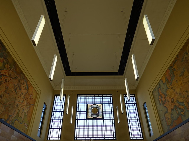
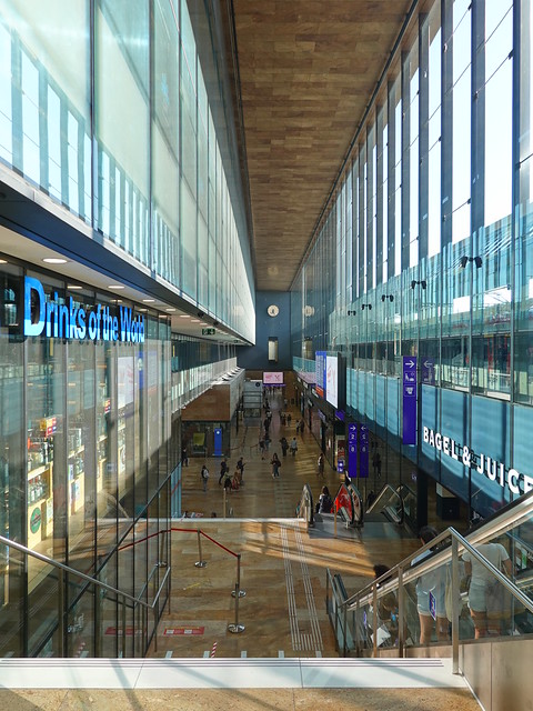
▲ Hall of the train station.
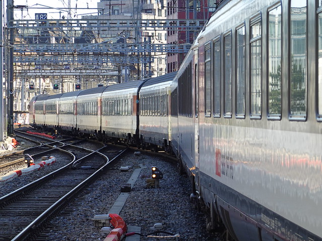
▲ CFF train.
