Hike to Lac Bénit
A few weeks ago, I went on a hike to Lac Bénit, a small lake located below Petit Bargy.
Here is a map of the path I walked:
- Download path KML
- Download large map
- More photos on Flickr
- Day of the hike: June 10th, 2022
In the morning, I took the train to Cluses then boarded a local Arv’i Mobilité bus (line 5) to Marnaz. I started walking from there on the way up to Mont-Saxonnex. At Mont-Saxonnex, I made a detour to Église Notre-Dame-de-l’Assomption, which can be seen from the valley, and Belvédère du Faucigny. There was a good view on Vallée de l’Arve from there. I then walked to Parking du Bété and started on the trail proper to Lac Bénit. After a while, I arrived at l’Anténiou above the lake and walked down from there. I walked around Lac Bénit and ate lunch. I then started on the way down towards the valley: I first passed through Les Bottes then walked in the forest on the way to Neyrolles. I kept walking down in the forest in order to reach Scionzier in the valley, where I waited for the bus to the Cluses train station.
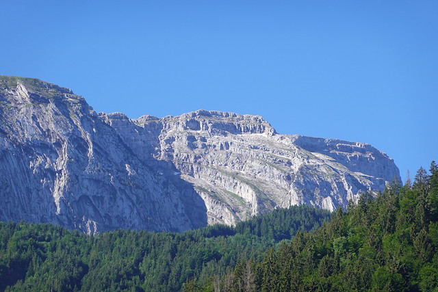
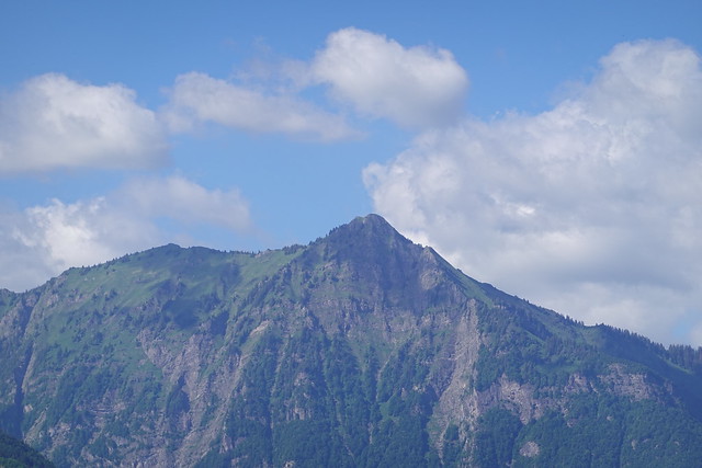
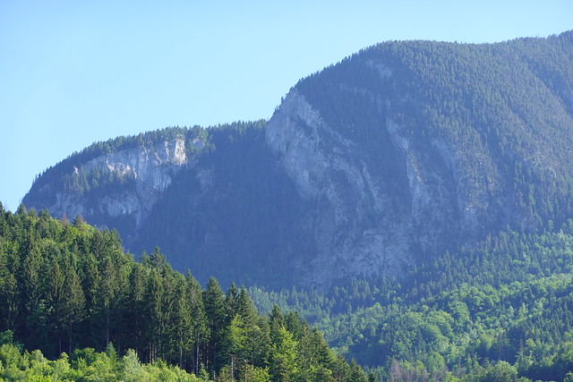
▲ Grand Bargy seen from Marnaz.
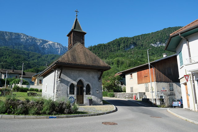
▲ Chapelle de Marnaz.
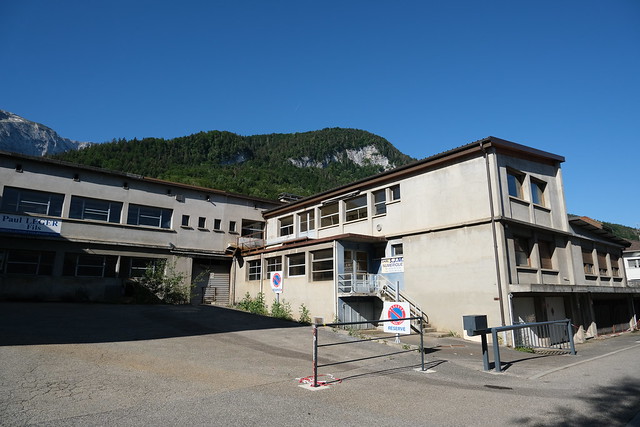
▲ Factory in Marnaz.
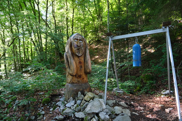
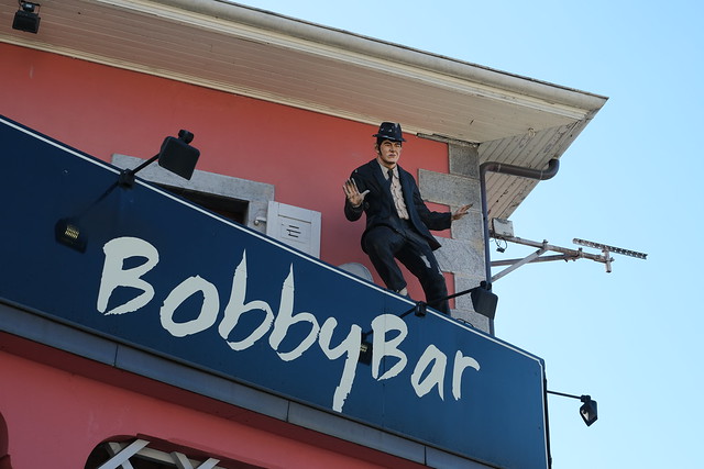
▲ Wood sculpture and bell.
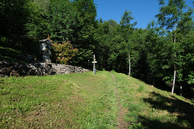
▲ Oratoire de La Biolle.
▲ Ruisseau du Chêne.
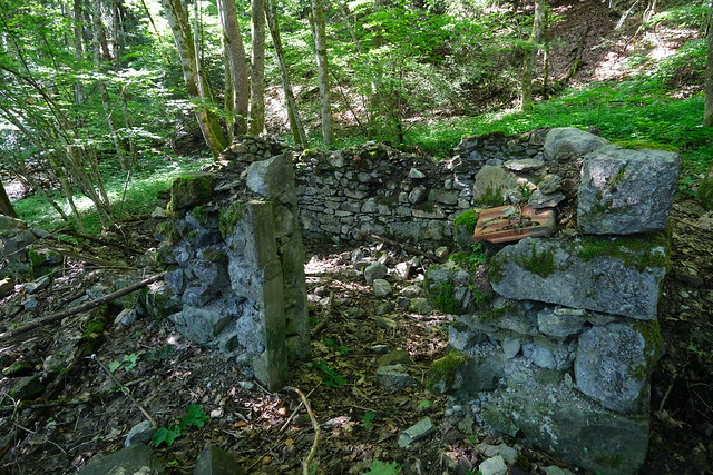
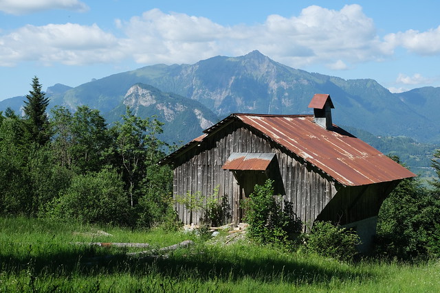
▲ Ruins of a chalet.
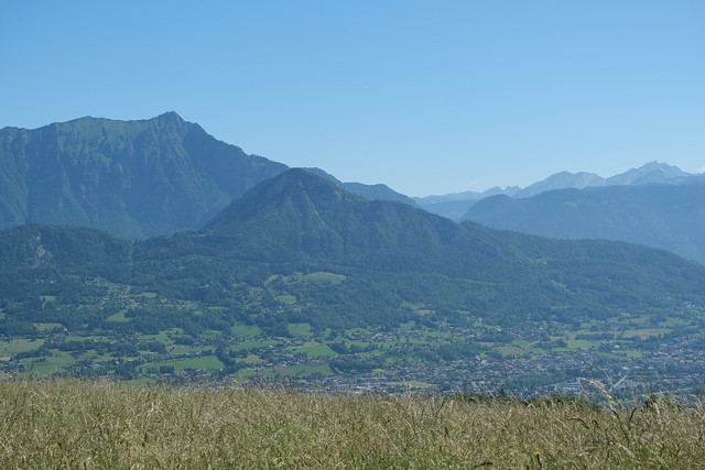
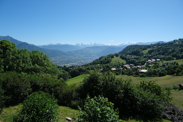
▲ Arve valley.
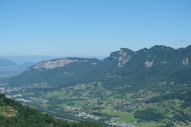
▲ Pointe d’Andey.
▲ Shrine in Mont-Saxonnex.
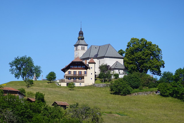
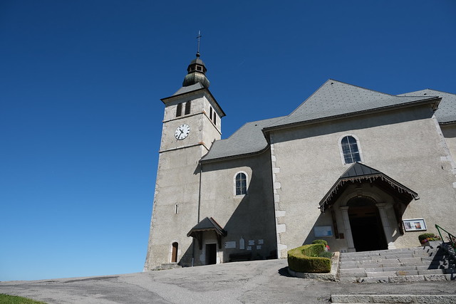
▲ Église Note-Dame-de-l’Assomption.
▲ Le Môle.
▲ Pointe de Marcelly and Mont Orchez.
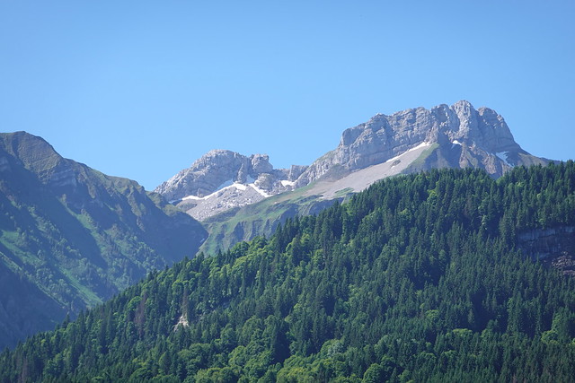
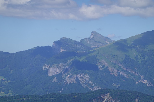
▲ Pointe du Midi and Pointe Dzérat.
▲ Église Notre-Dame-de-l’Assomption.
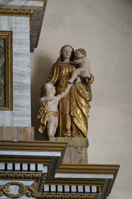
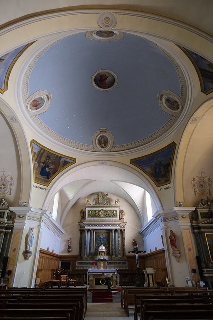
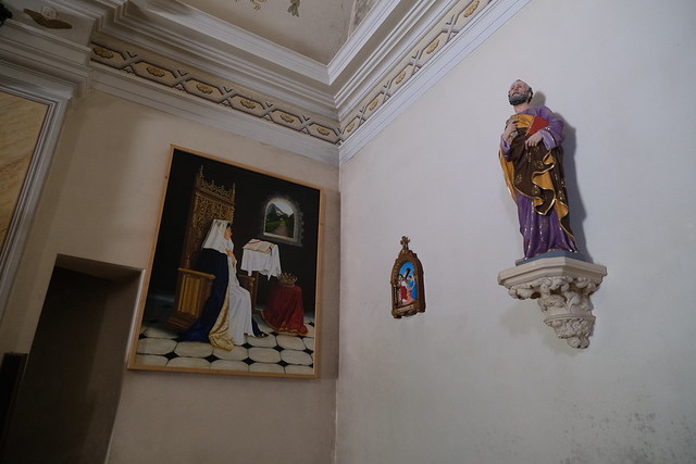
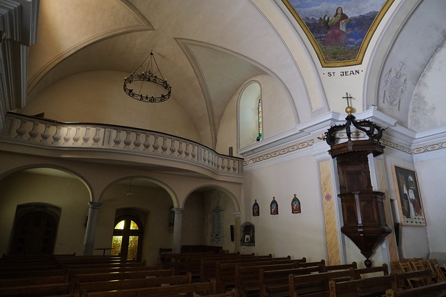
▲ Inside the church.
▲ Pénouclet. I went on a hike there a few months ago.
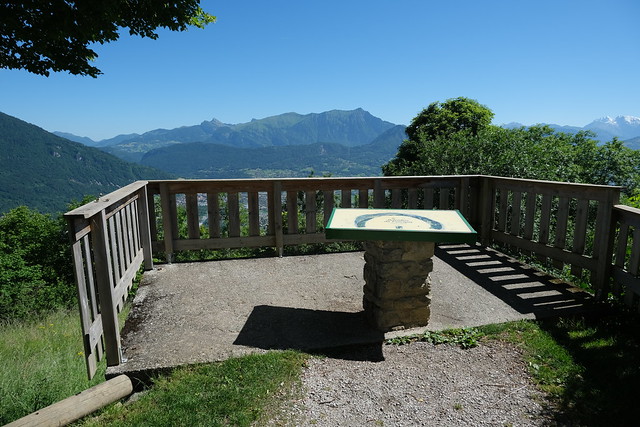
▲ Belvédère du Faucigny.
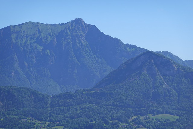
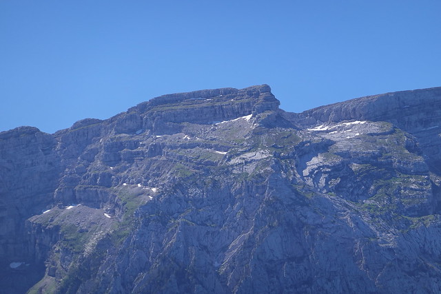
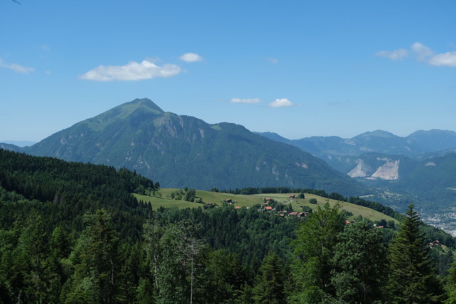
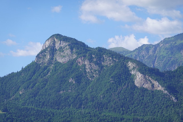
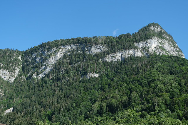
▲ Grand Bargy.
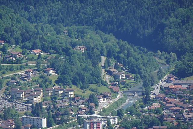
▲ Towards Cluses.
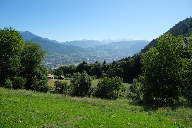
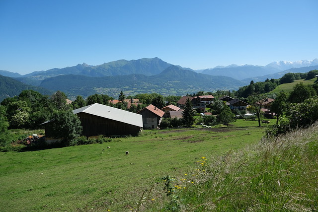
▲ Vallée de l’Arve.
▲ Pointe Rousse des Chambres.
▲ Giffre in Marignier.
▲ Pic de Tenneverge.
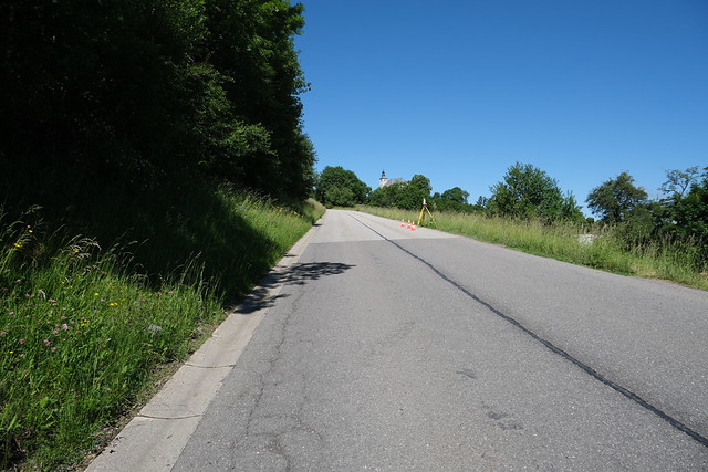
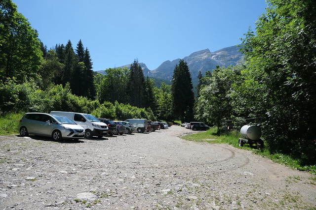
▲ Parking du Bété.
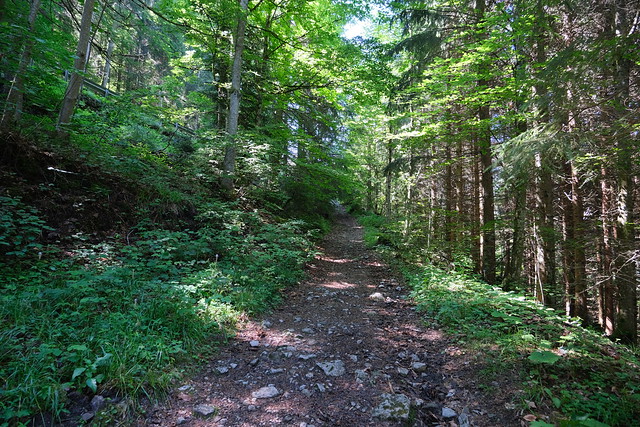
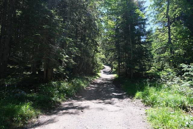
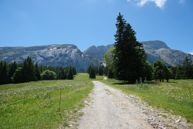
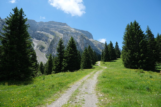
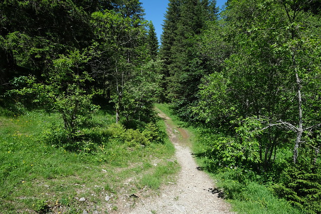
▲ On the path to Lac Bénit. It first follows a dirt road then ski slopes.
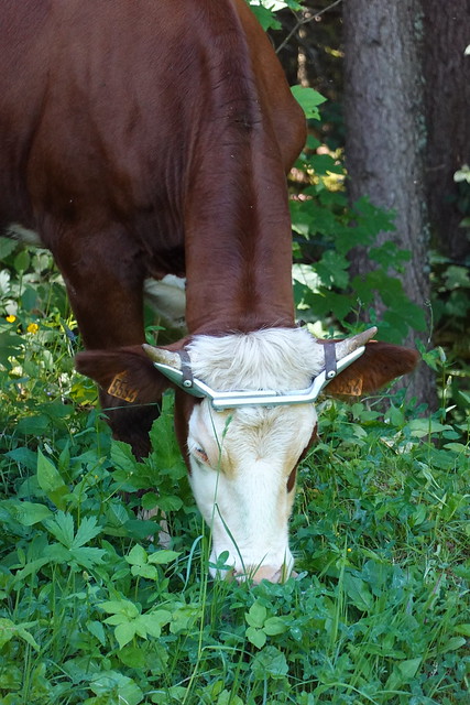
▲ Metal structure around the horns of a cow. Not sure what it is for.
▲ Le Môle.
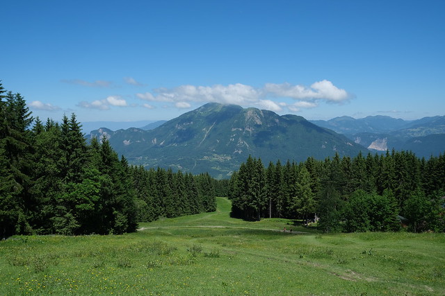
▲ On a ski slope.
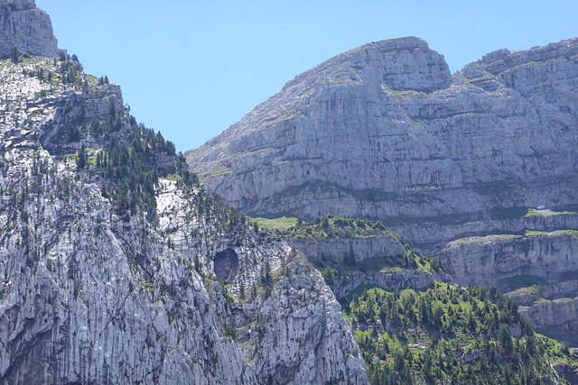
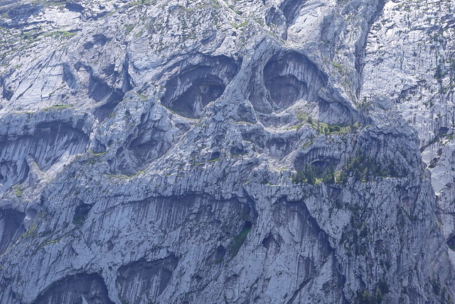
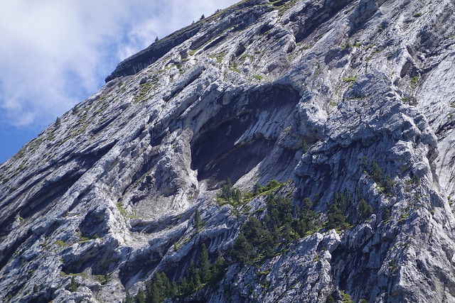
▲ The Eyes of Bargy.
▲ Towards l’Anténiou.
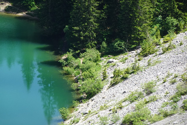
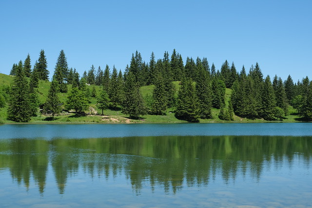
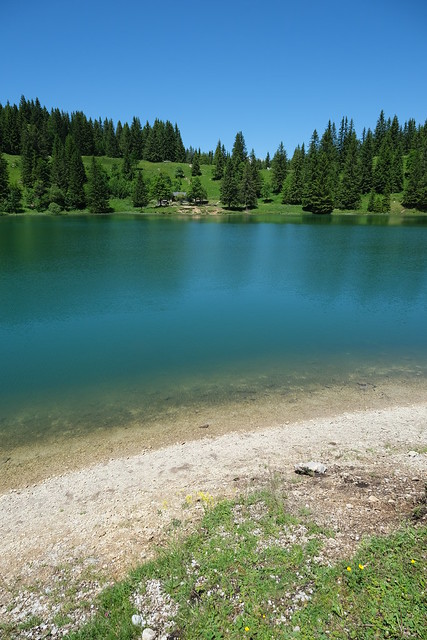
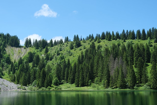
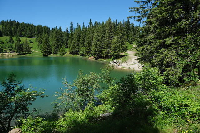
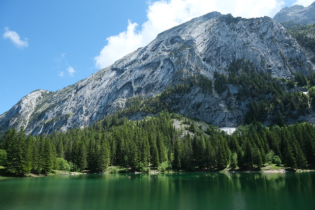
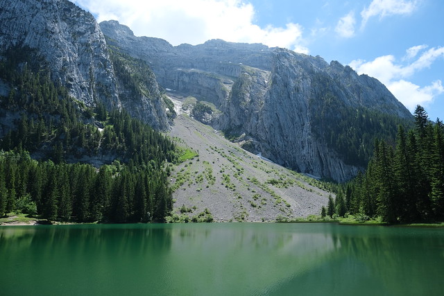
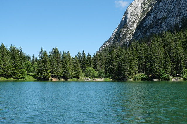
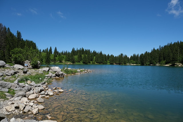
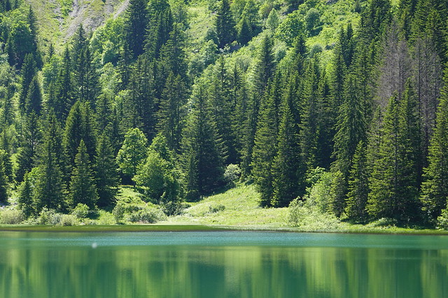
▲ Lac Bénit.
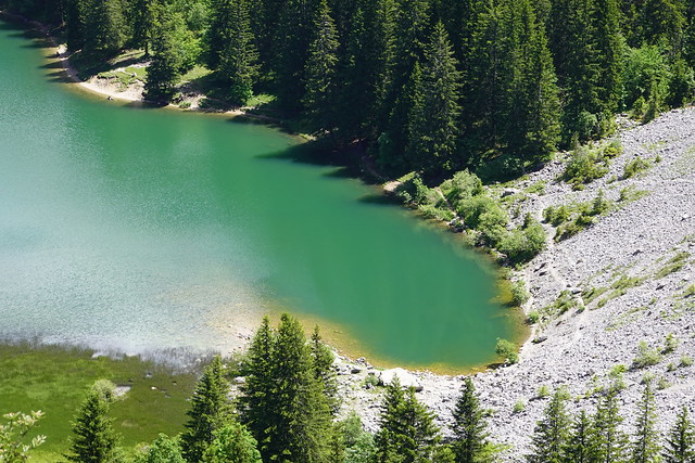
▲ View of Lac Bénit from l’Anténiou.
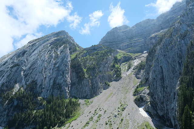
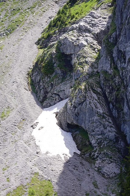
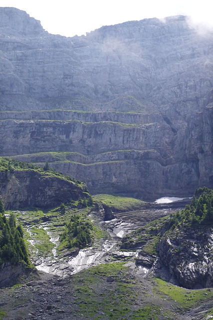
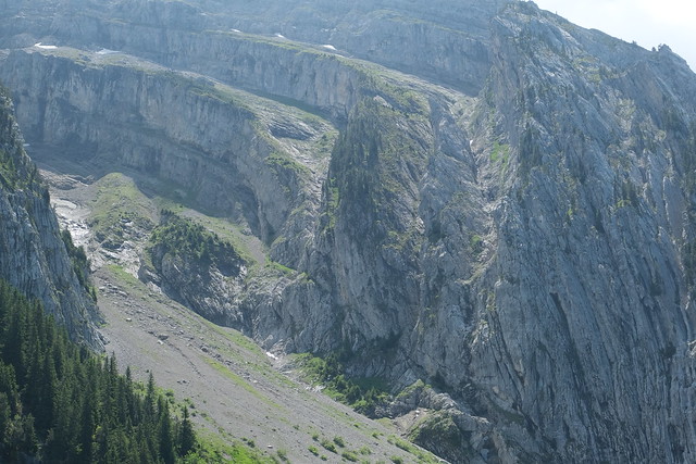
▲ View of Combe du Bronze. Rochers de Leschaux are visible in the background.
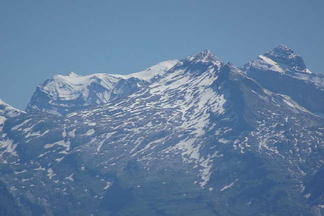
▲ Towards Dents du Midi (in the background).
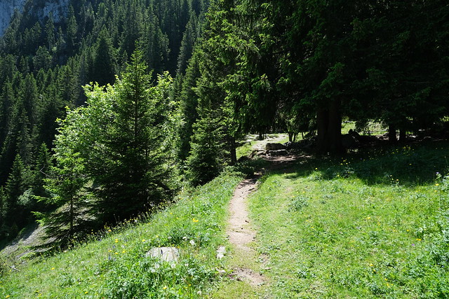
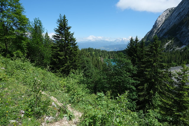
▲ On the way down to Lac Bénit.
▲ View towards Col de l’Encrenaz.
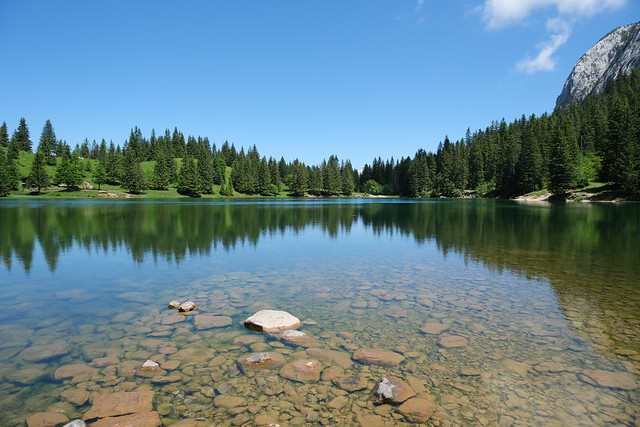
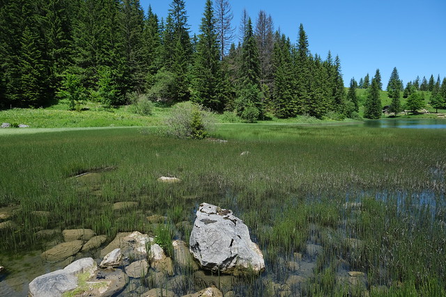
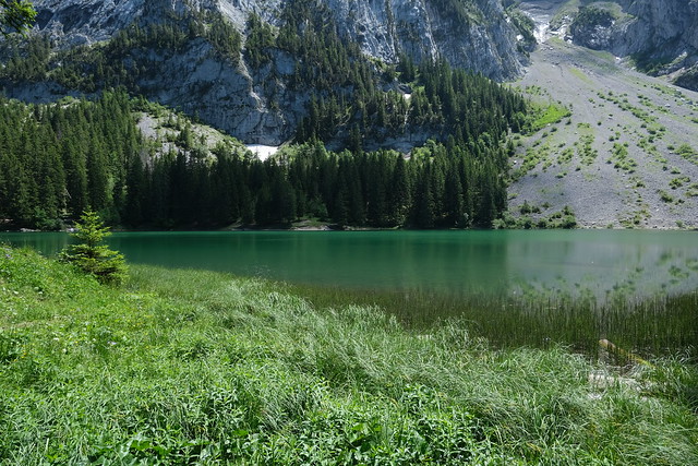
▲ Lac Bénit.
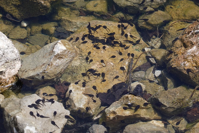
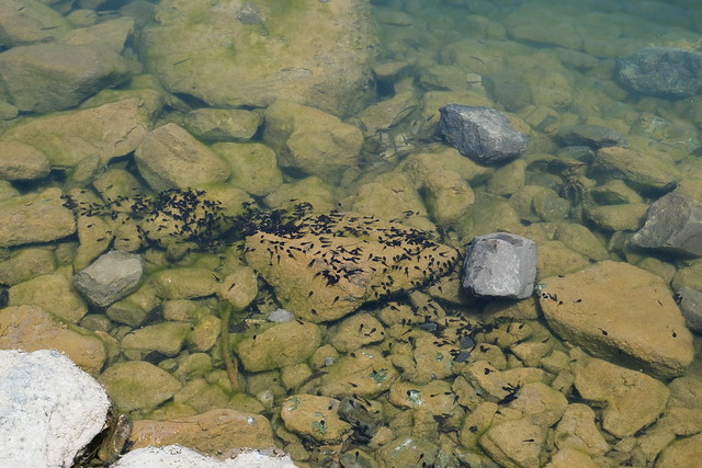
▲ Tadpoles. According to a sign, there are frogs and newts in the lake.
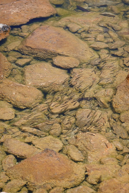
▲ Small fish. I also saw a couple of large fish.
▲ Reed.
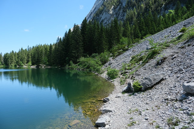
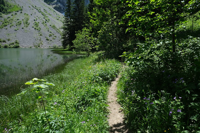
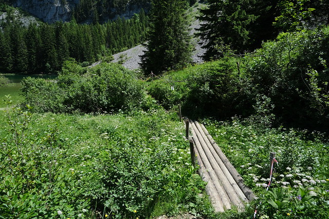
▲ Waking on a path next to the lake.
▲ One of the Eyes of Bargy.
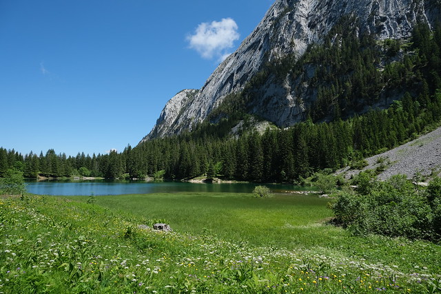
▲ I went around the lake and came back to the place I had arrived from L’Anténiou. However, the path I had to take for the way down was on the other side of the lake so I had to walk the same part again.
▲ On the way down.
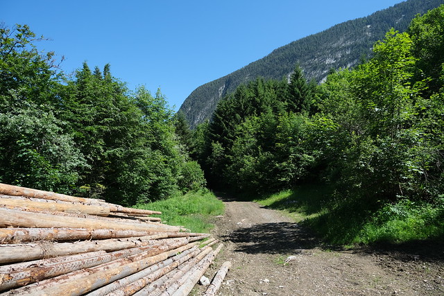
▲ I walked on a dirt road at first.
▲ Then, I walked on a smaller path.
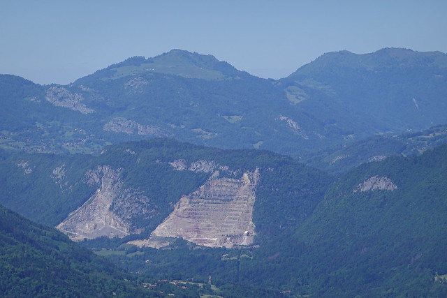
▲ Quarry in Saint-Jeoire.
▲ Le Môle.
▲ In Les Bottes.
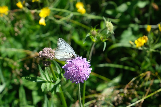
▲ Butterfly.
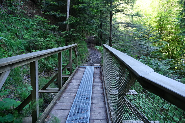
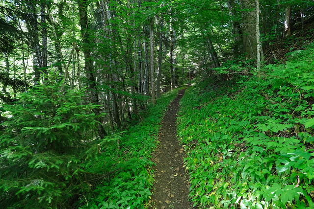
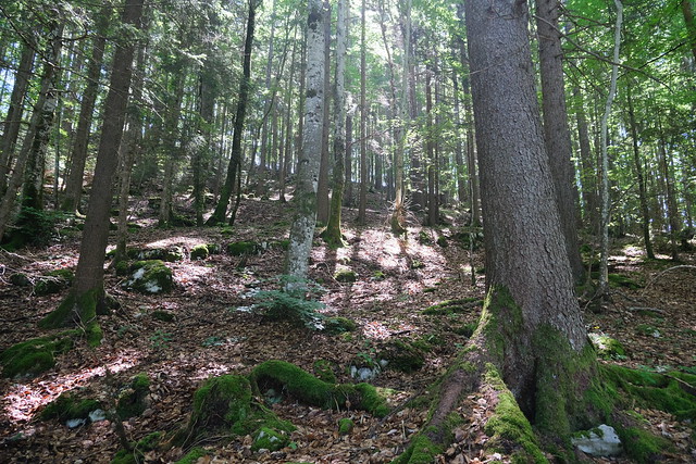
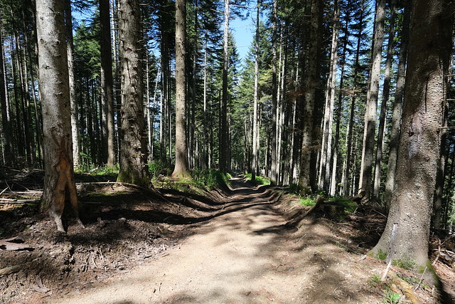
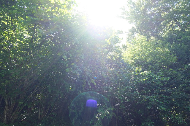
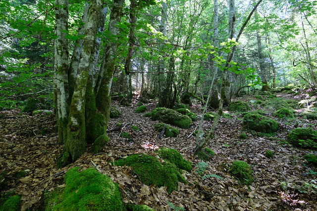
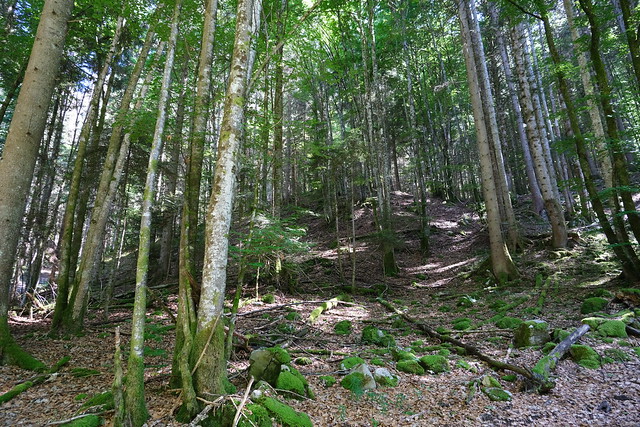
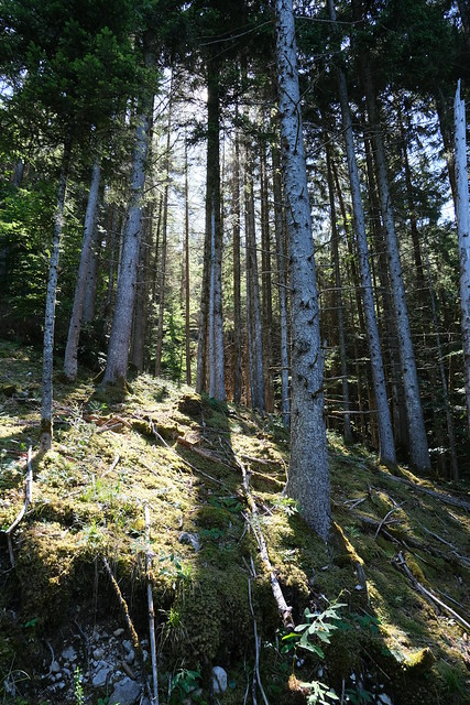
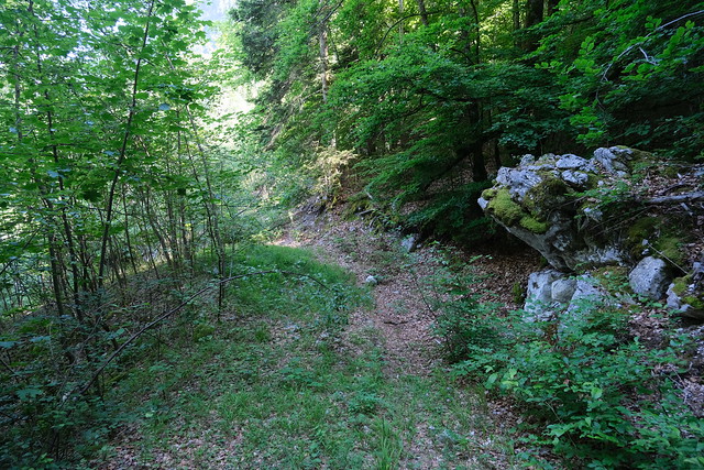
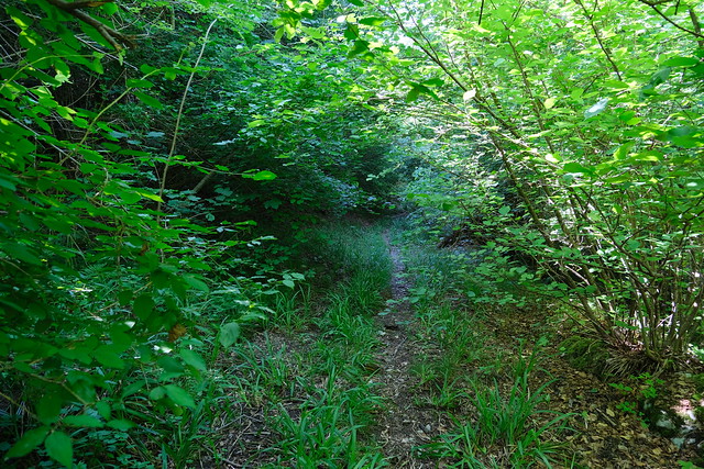
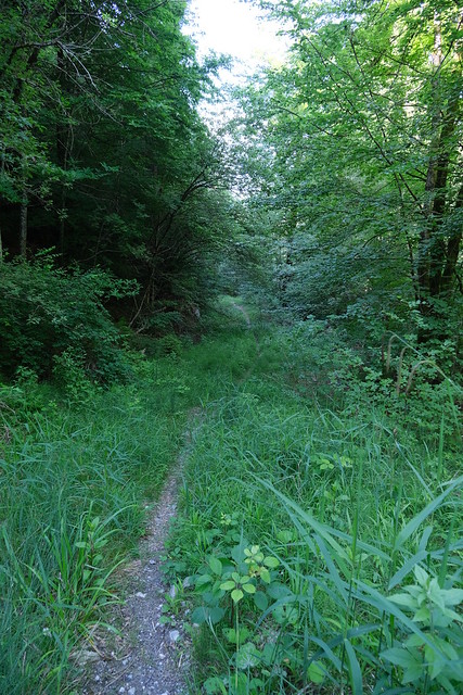
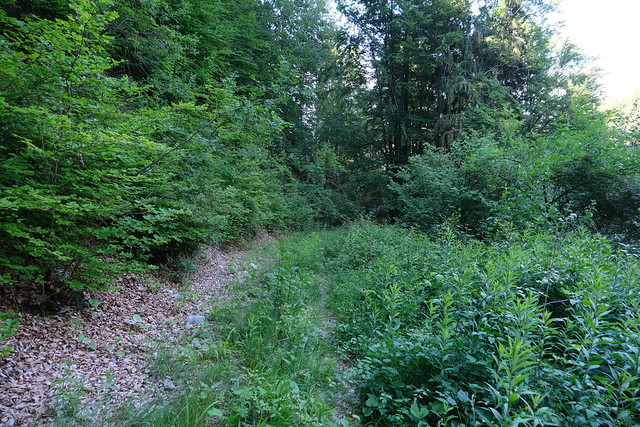
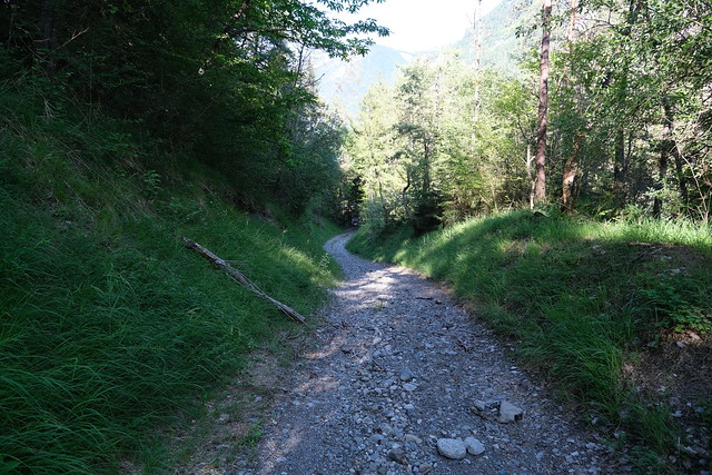
▲ Forest road. I wanted to follow a path I found on the IGN map. It was generally accurate, although I couldn’t find the path marked on the map at some point, but I found it again a bit lower.
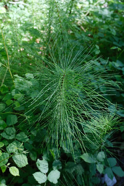
▲ Overgrown grass on the path.
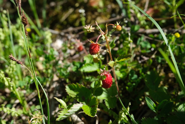
▲ Wild strawberries.
▲ Pointe de Nancy and Tête de Romme.
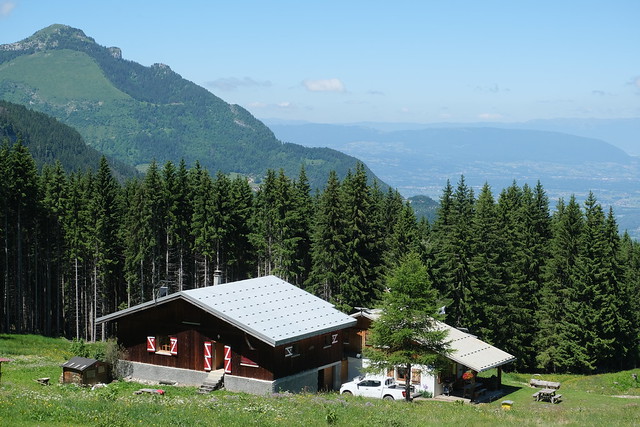
▲ Chalet de Gouvernant.
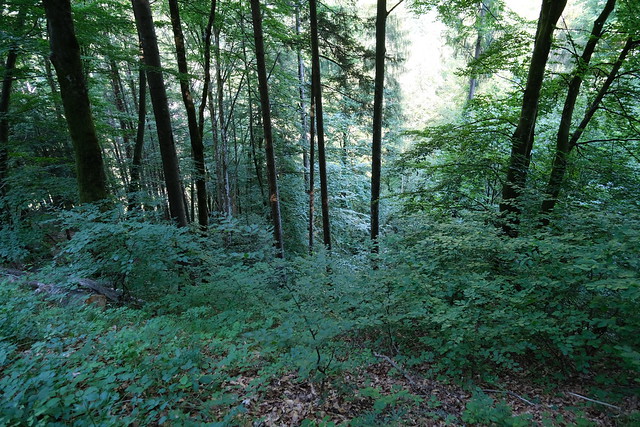
▲ After that, the path became quite steep.
▲ Overgrown vegetation.
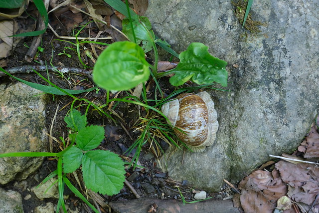
▲ Large snail.
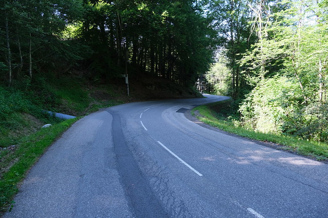
▲ I walked on the side of the road for a few minutes towards Neyrolles.
▲ Pointe de Marcelly.
▲ Pointe de Nancy.
▲ Tête de la Sallaz.
▲ Steep path towards Le Foron (river). The road ultimately goes towards Notre-Dame-des-Grâces.
▲ Small path towards Scionzier.
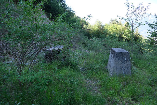
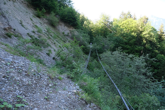
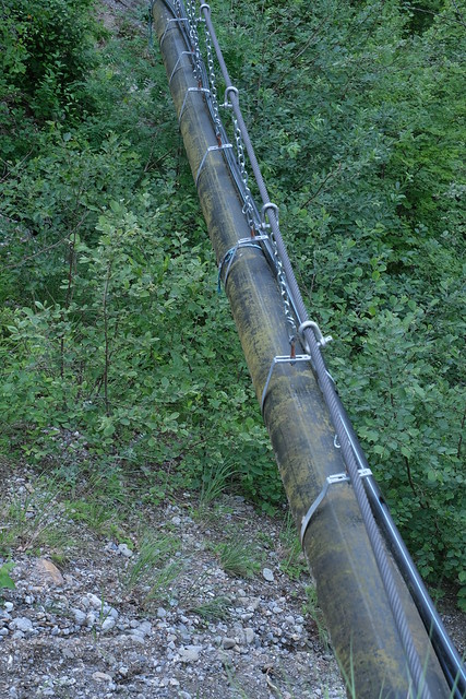
▲ What are those ?
▲ They are support pillars for the suspended pipes. To cross that part, there is a narrow path on the left, but it could be unsafe in wet weather.
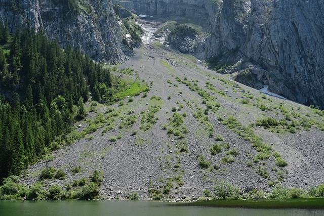
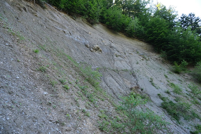
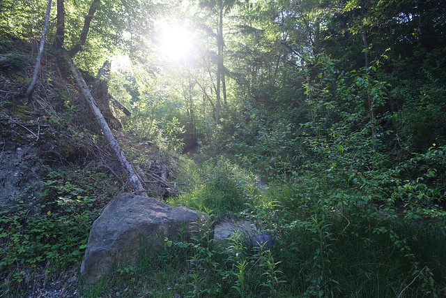
▲ Landslide.
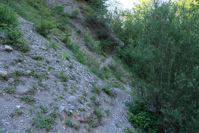
▲ Overgrown grass on the other side.
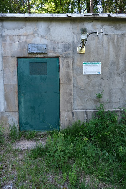
▲ Bonne Eau water reservoir.
▲ Mont Orchez.
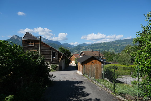
▲ In Scionzier.
▲ Le Foron, back in the valley.
▲ Pointe de Nancy.
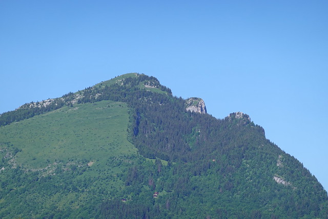
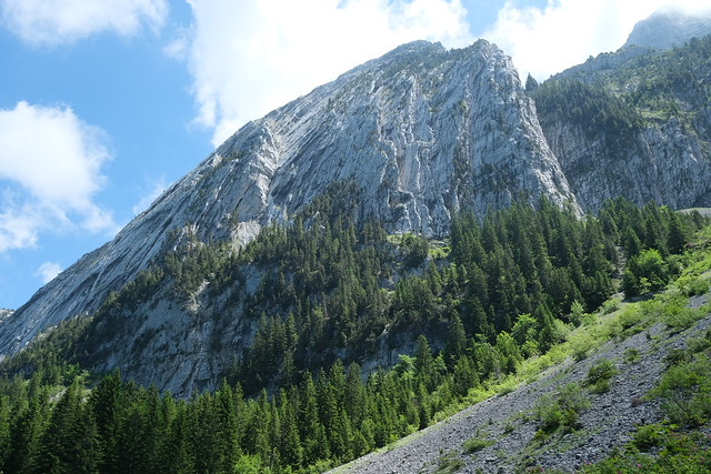
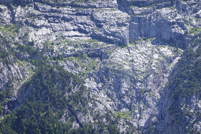
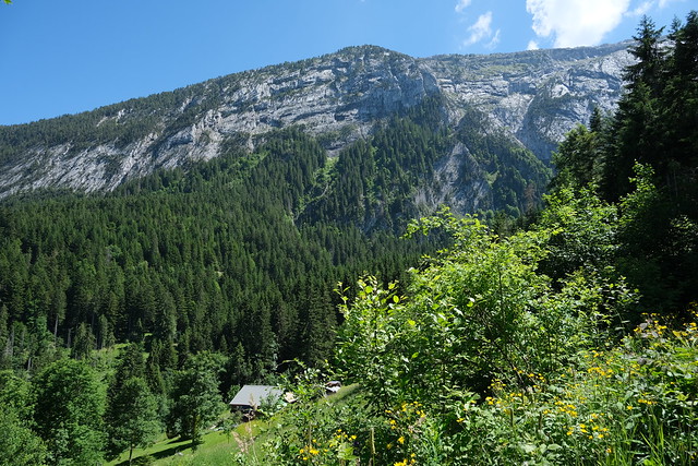
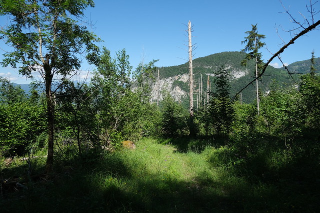
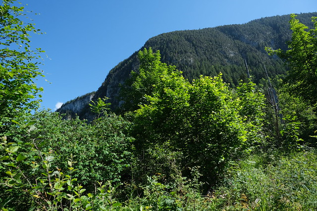
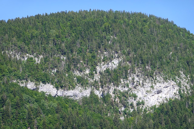
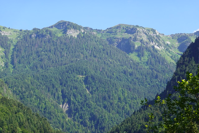
▲ Petit Bargy. The forest I crossed is underneath it.
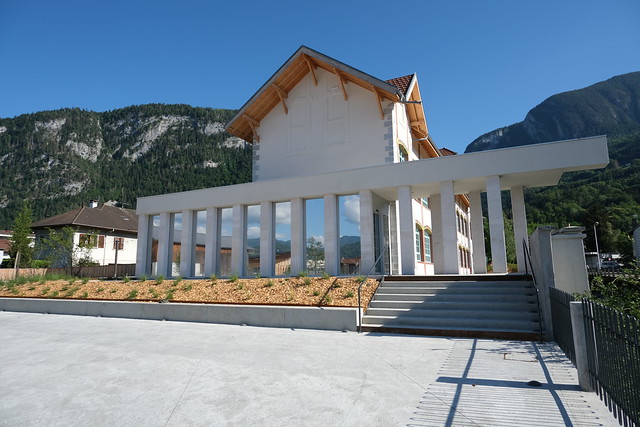
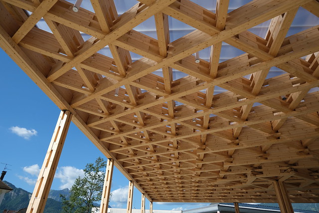
▲ New public library.
▲ Les Halles de Scionzier.
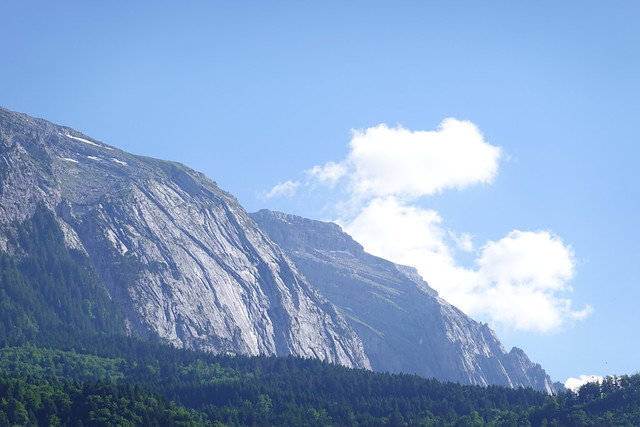
▲ Grand Bargy.
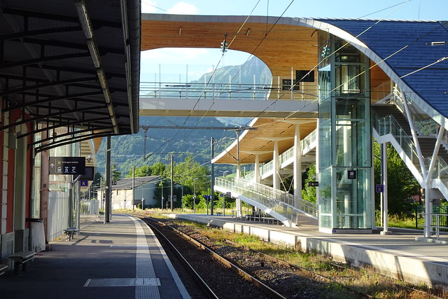
▲ Cluses train station.

