Hike to Glacier de Tré la Tête & Lac d'Armancette
Last fall, I went on a hike in Les Contamines-Montjoie: I walked up to Glacier de Tré la Tête then went down passing by Lac d’Armancette.
Here is a map of the path I walked:
- Download path KML
- Download large map
- More photos on Flickr
- Day of the hike: September 22nd, 2021
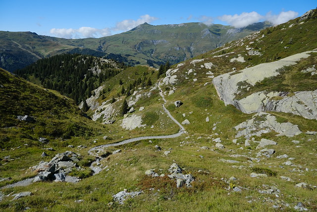
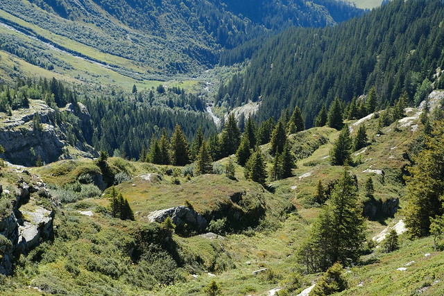
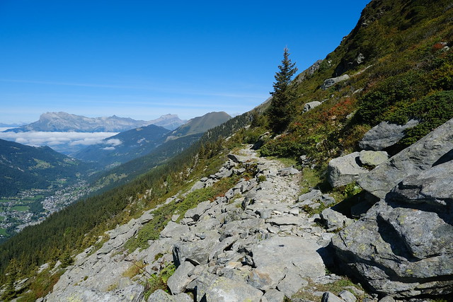
In the morning, I took a train to Saint-Gervais-les-Bains. I then rode in a Car Région bus (line Y84) until its terminus at Le Lay, in Les Contamines-Montjoie. At first, I walked towards the back of Val Montjoie, following a path along the Bon Nant river. At Notre-Dame-de-la-Gorge, I started on the way up, following for a while the Tour du Mont Blanc trail. At Pont Romain, I took a fork that went to Refuge de Tré la Tête. There was a great view from there on the mountains surrounding Val Montjoie. I kept walking up in order to have a view of Glacier de Tré la Tête. There is a trail down to get even closer to it, but I was a little short on time so I watched the glacier from above. I ate lunch then went on my way to Combe d’Armancette. At the Combe, I had to cross a fast-flowing torrent. I then arrived at Lac d’Armancette, a small lake. Finally, I walked down to the valley and waited for the bus.
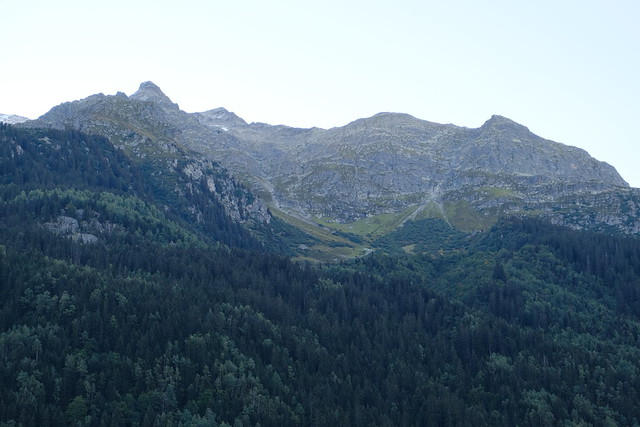
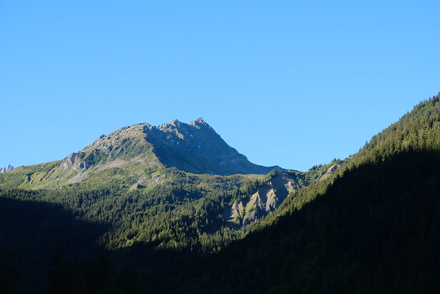
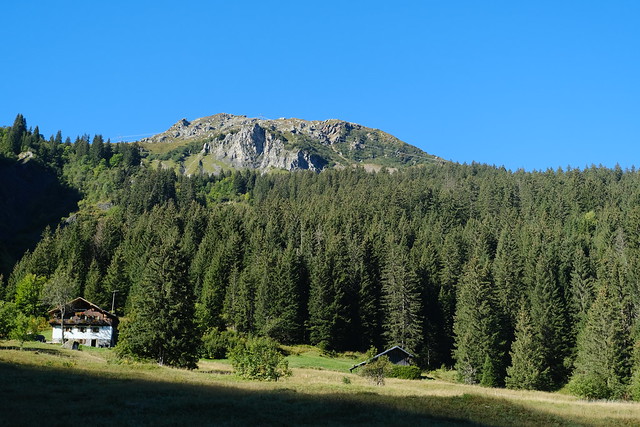
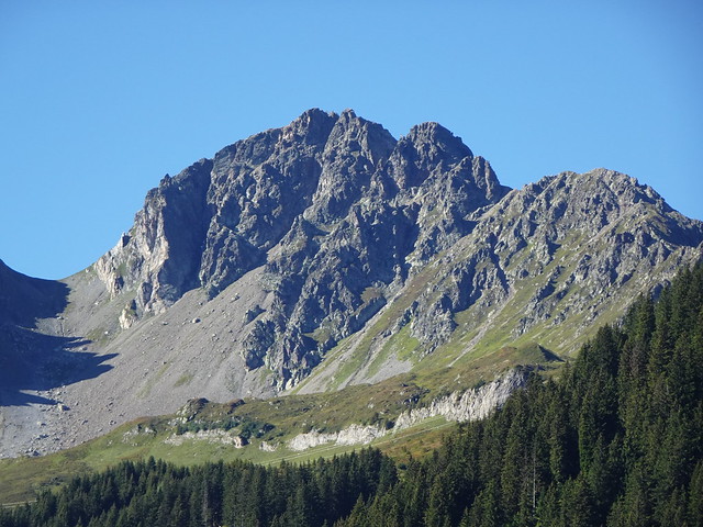
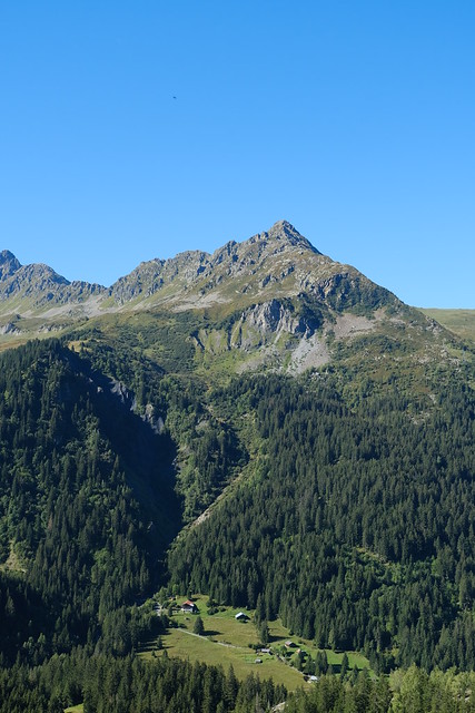
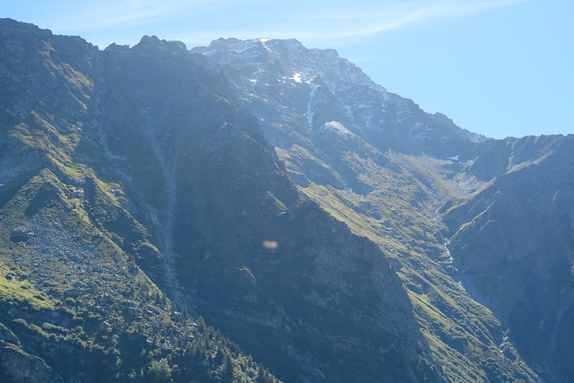
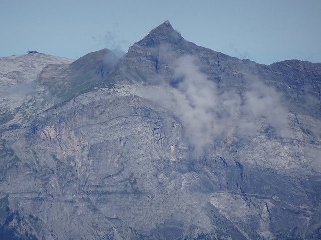
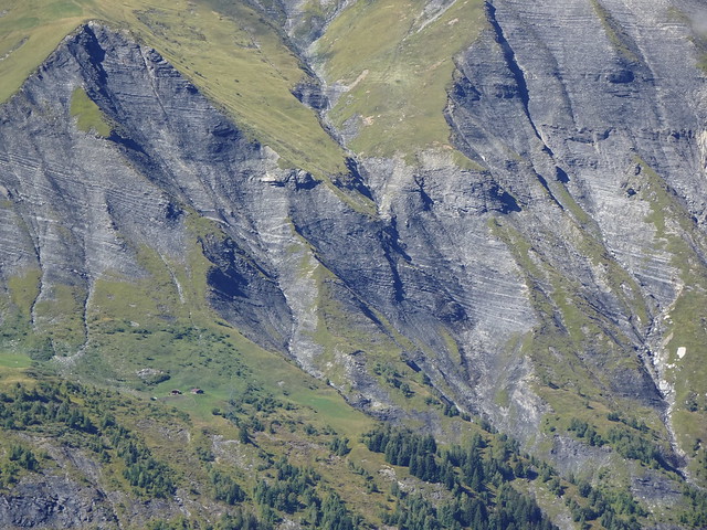
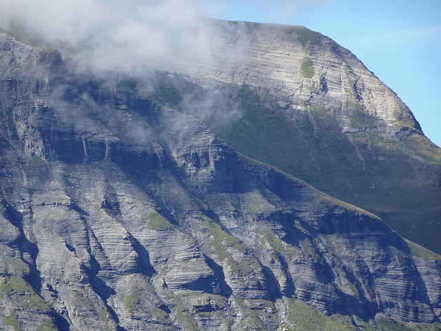
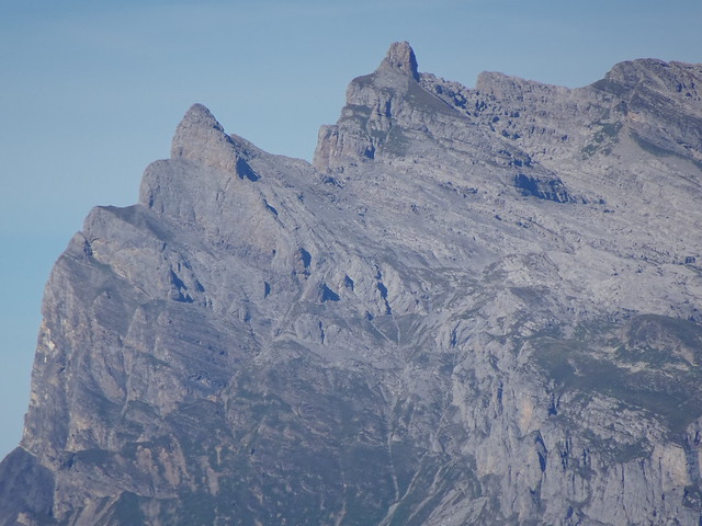
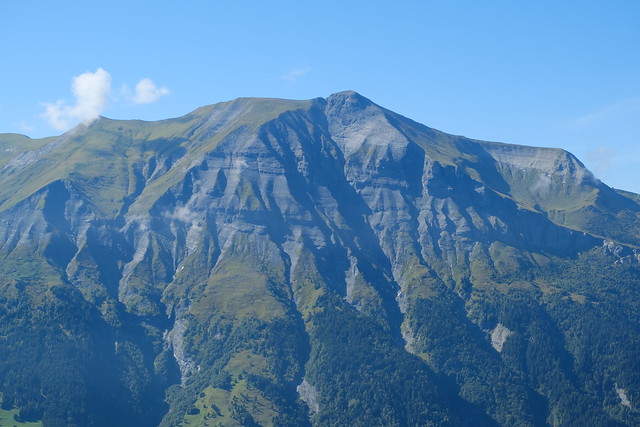
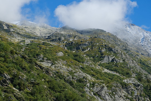
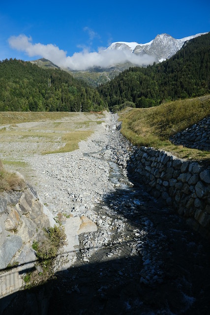
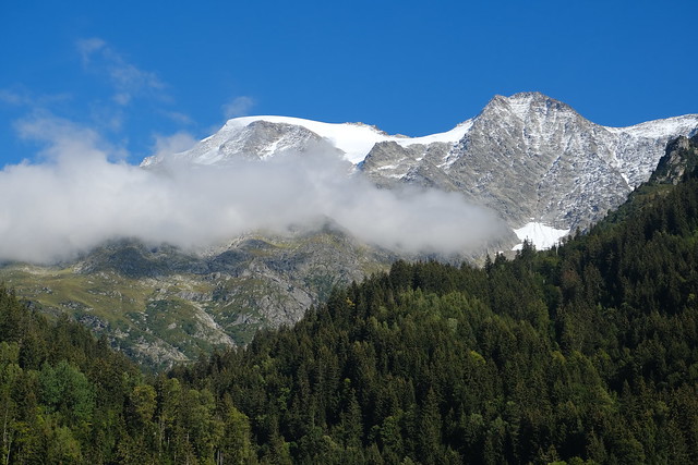
▲ View from Le Lay. I will pass below those mountains later.
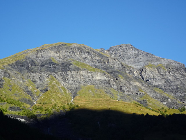
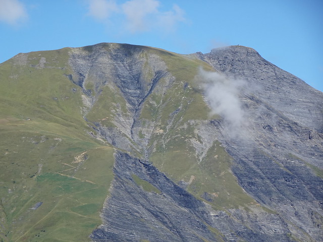
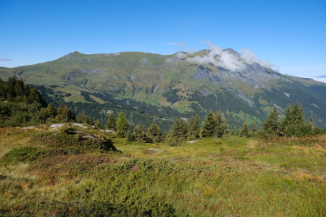
▲ Mont Joly on the other side of Val Montjoie.
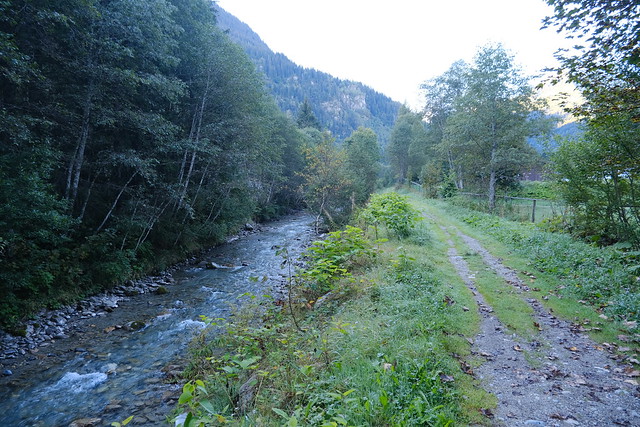
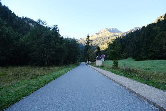
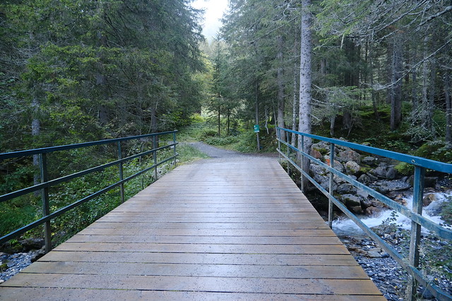
▲ Path along the Bon Nant river.
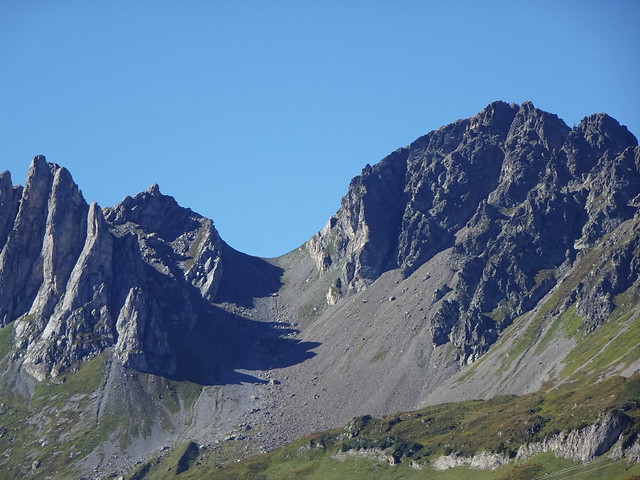
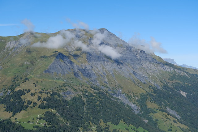
▲ Aiguille de Roselette.
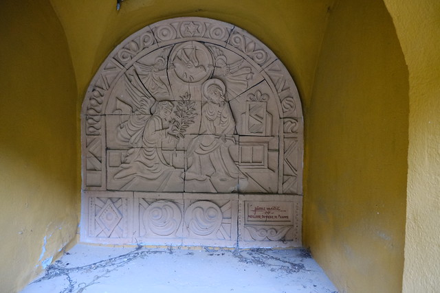
▲ One of the oratories leading to Notre-Dame-de-la-Gorge.
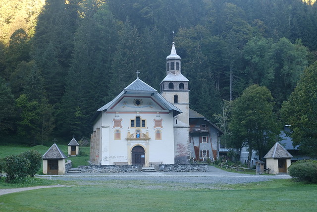
▲ Chapelle Notre-Dame-de-la-Gorge.
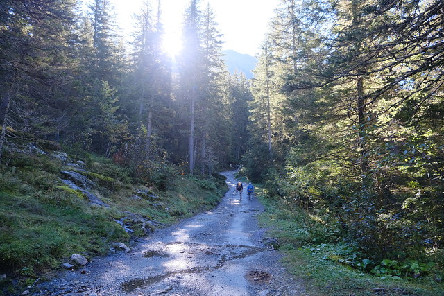
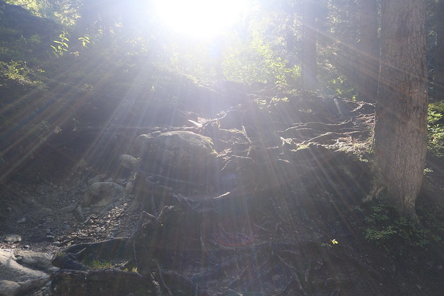
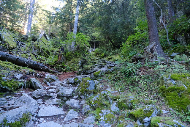
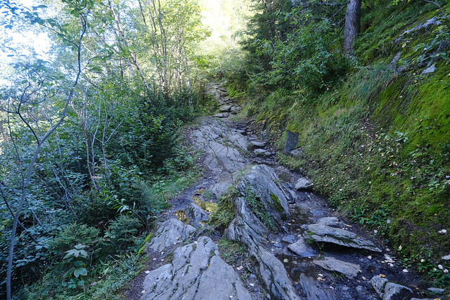
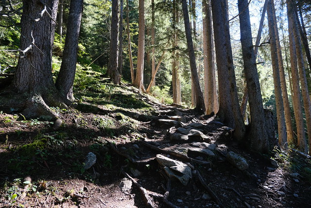
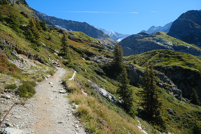
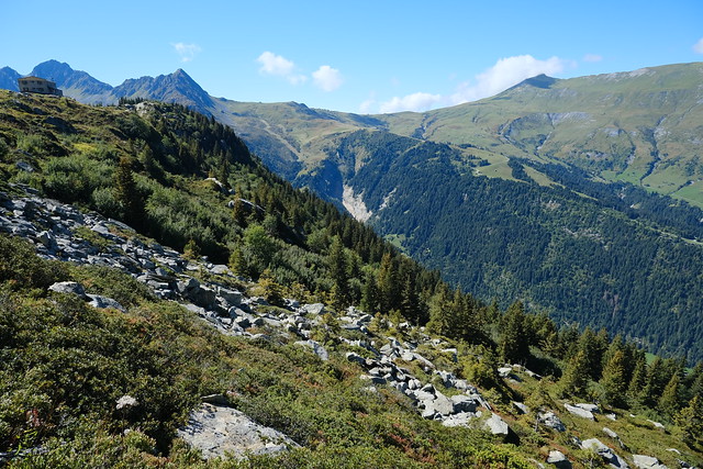
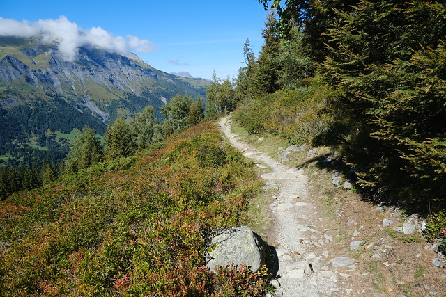
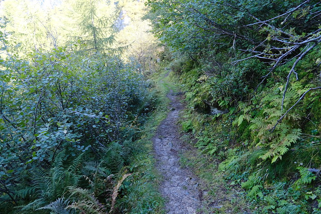
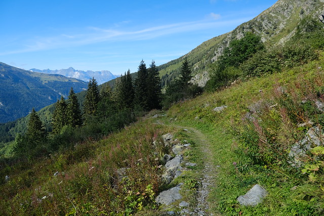
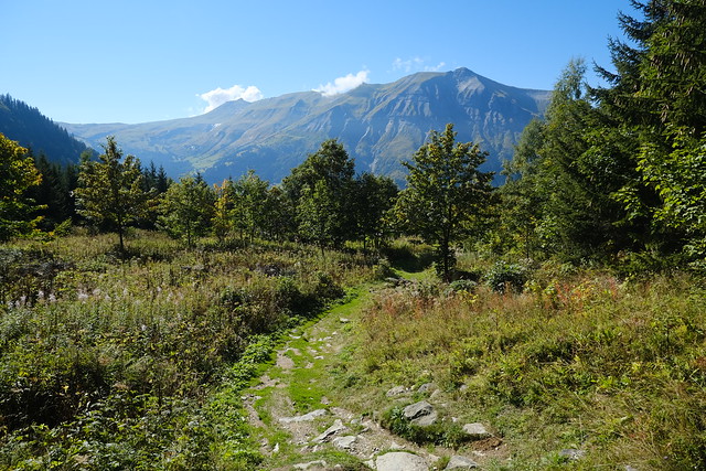
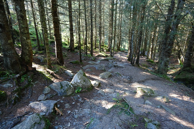
▲ On the way up. This path is part of the Tour du Mont Blanc hike.
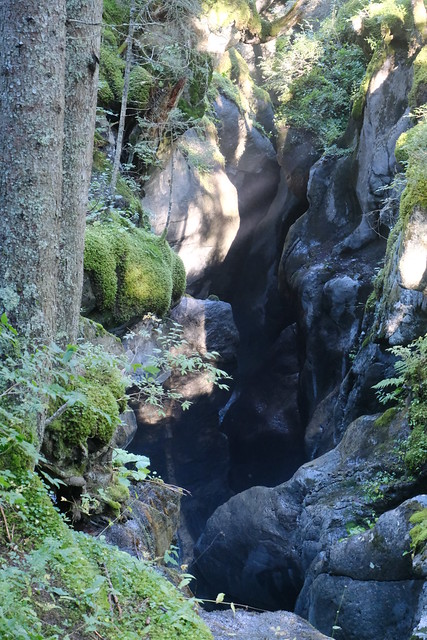
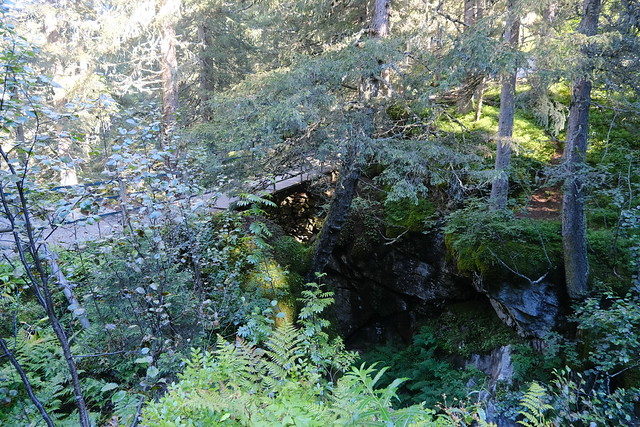
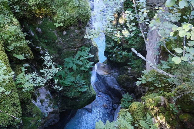
▲ Bon Nant canyon near Pont Romain. I left the TMB trail there.
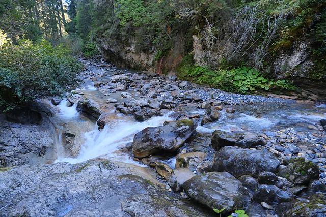
▲ Confluence of Bon Nant and Torrent de Tré la Tête.
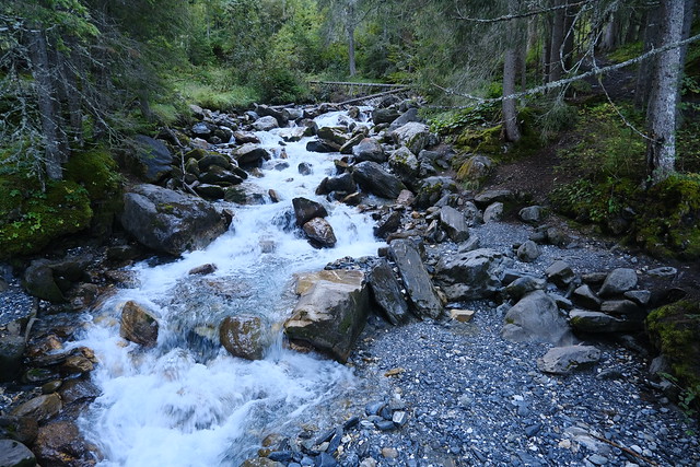
▲ Bon Nant.
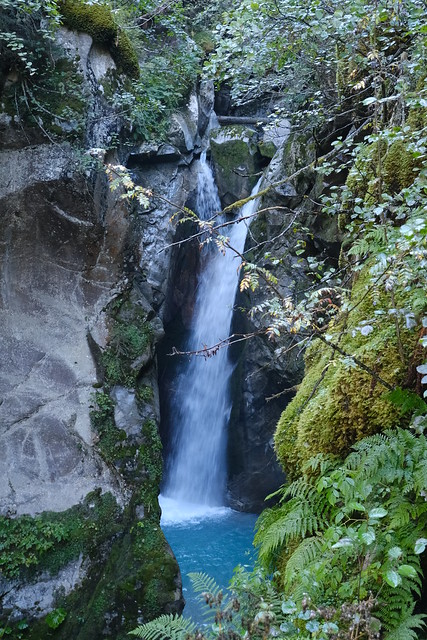
▲ Cascade de Combe Noire, visible from the trail.
▲ Torrent de Tré la Tête.
▲ Upper station of Télécabine du Signal, with Aiguille Croche in the background
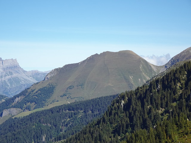
▲ Mont Joly.
▲ Col de la Cicle.
▲ Aiguille de Roselette.
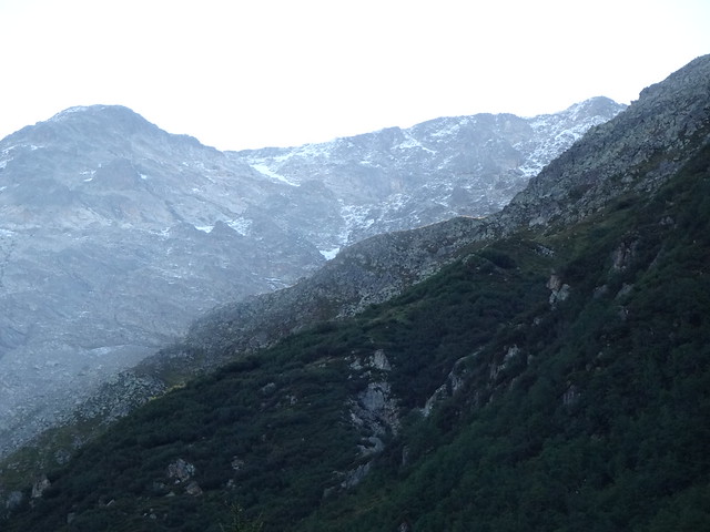
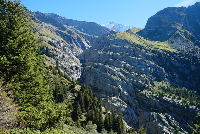
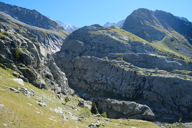
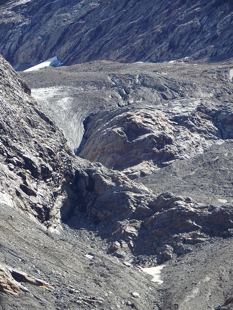
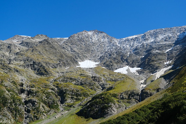
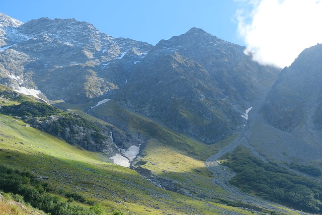
▲ Canyon below Glacier de Tré la Tête.
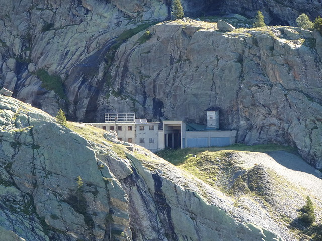
▲ EDF installation.
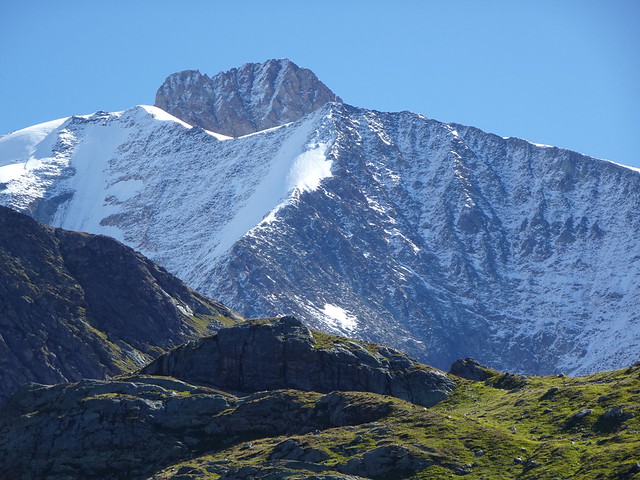
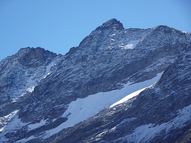
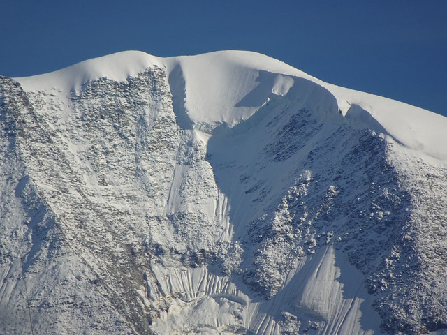
▲ Aiguille des Glaciers.
▲ Mont Tondu.
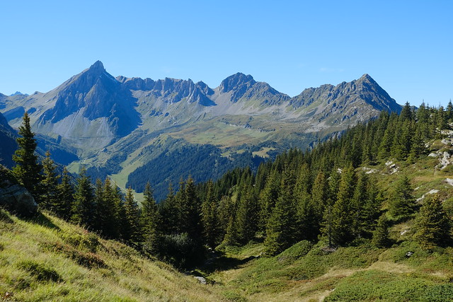
▲ Aiguille Croche and Mont Joly.
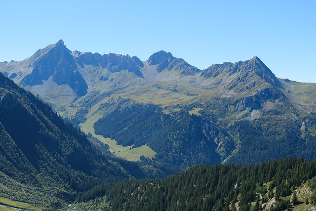
▲ Tête du Colonney and Aiguille de Varan.
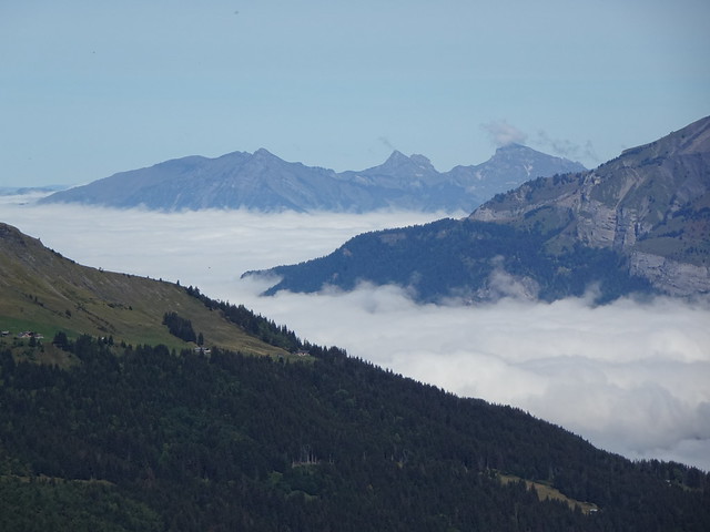
▲ Clouds over Vallée de l’Arve.
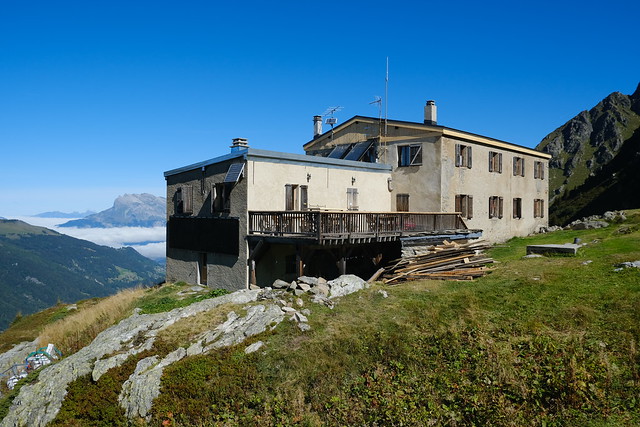
▲ Refuge de Tré la Tête.
▲ Mont Joly seen from the Refuge.
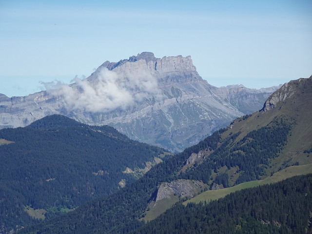
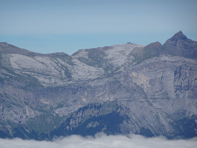
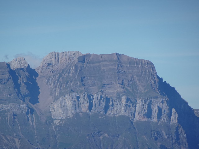
▲ Rochers des Fiz.
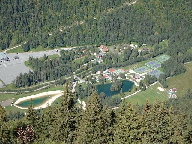
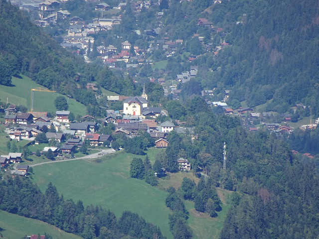
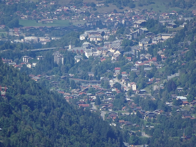
▲ Parc de Loisirs du Pontet in Les Contamines-Montjoie.
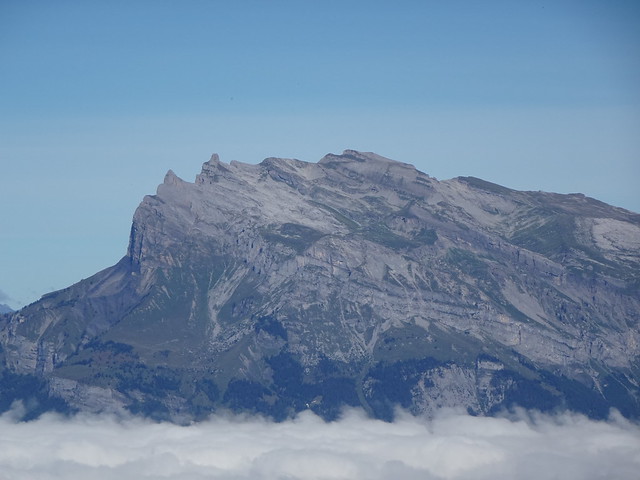
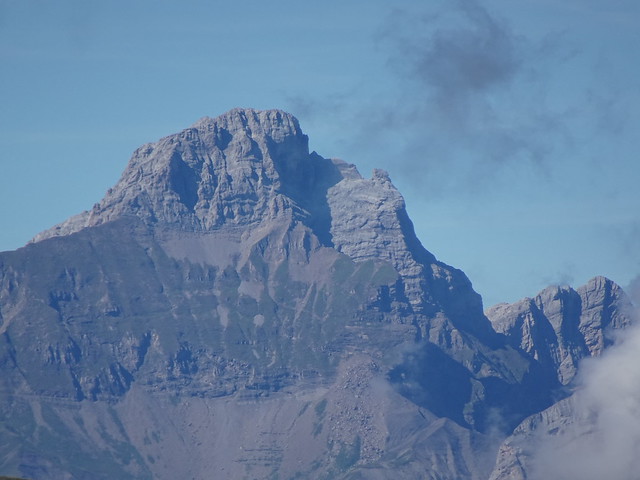
▲ Pointe de Platé.
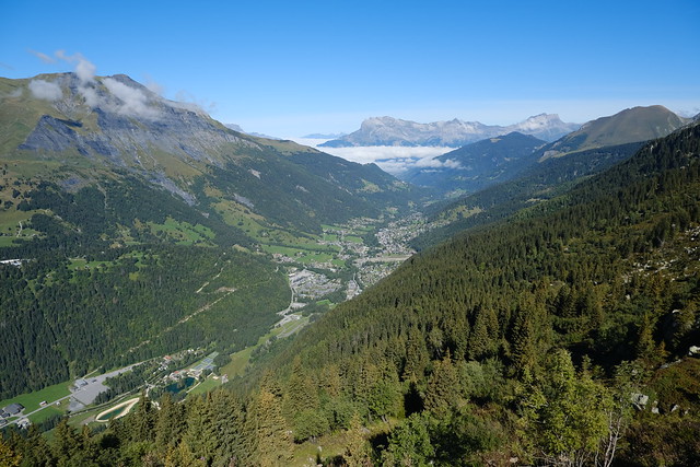
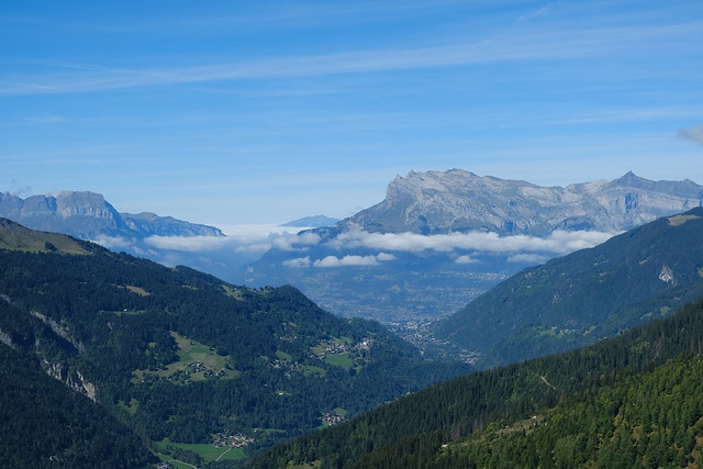
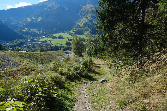
▲ Val Montjoie towards Saint-Gervais.
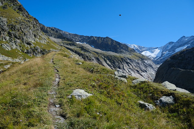
▲ On the way to the Glacier.
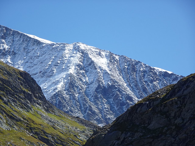
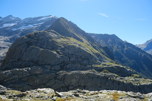
▲ Grande Roche de Tré la Tête.
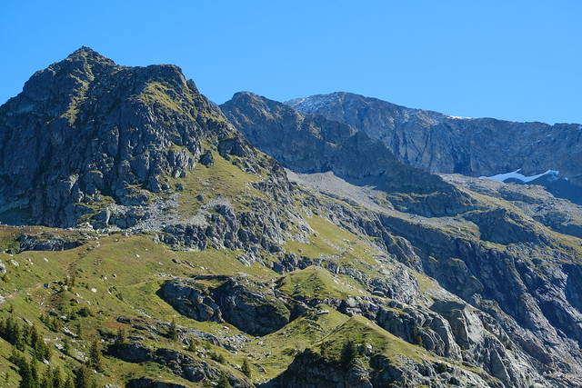
▲ Col de la Cicle, Tête de la Cicle and Col de la Fenêtre.
▲ Torrent de Tré la Tête.
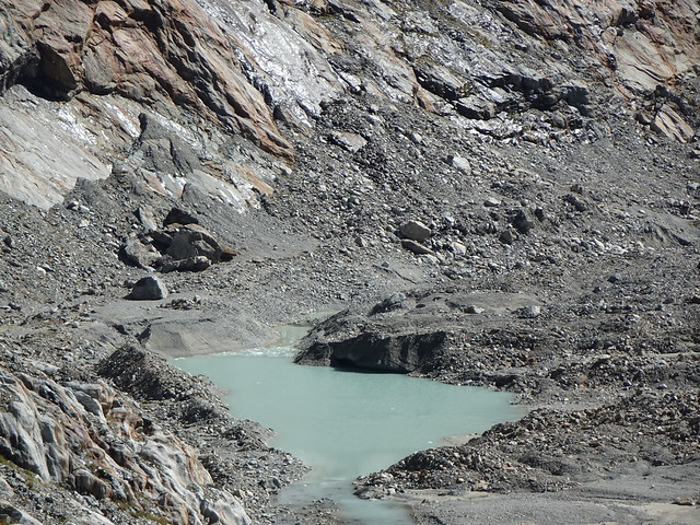
▲ Glacial lake below Glacier de Tré la Tête.
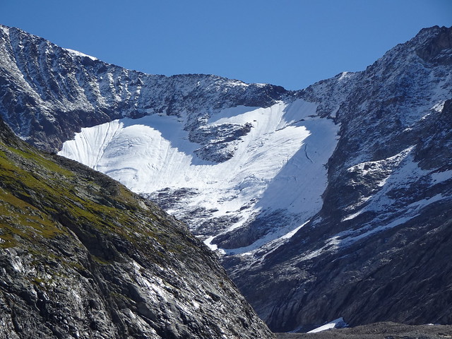
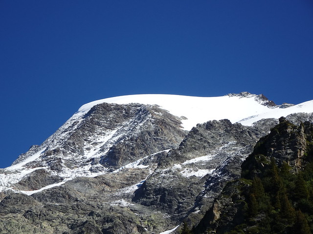
▲ Glacier de Tré la Tête. There is a path to get closer but I was a bit short on time so I didn’t go. It turns out there is actually a good viewpoint just a few minutes from where I stopped…
▲ Towards Plan de la Fenêtre.
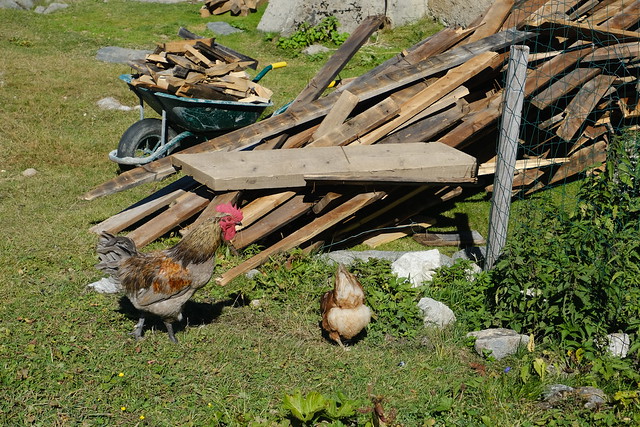
▲ Chickens, back at the Refuge.
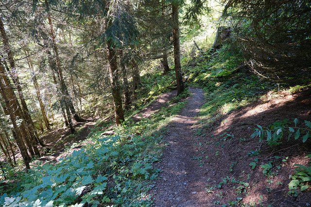
▲ On the way to Lac d’Armancette.
▲ Église Saint-Nicolas-de-Véroce. I haven’t posted about it yet but I visited it in 2020. It is very nice.
▲ Dômes de Miage.
▲ Pointe d’Areu in the Aravis.
▲ Pointe Percée.
▲ Saint-Gervais-les-Bains.
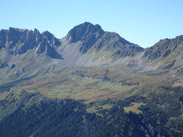
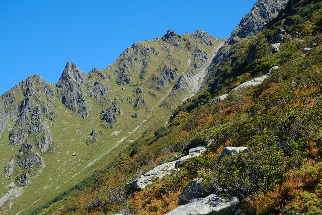
▲ Aiguille de Varan.
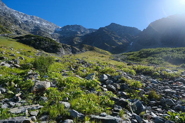
▲ Combe d’Armancette.
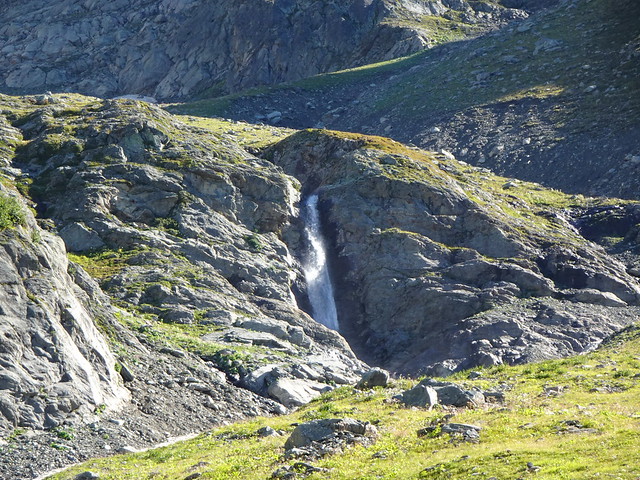
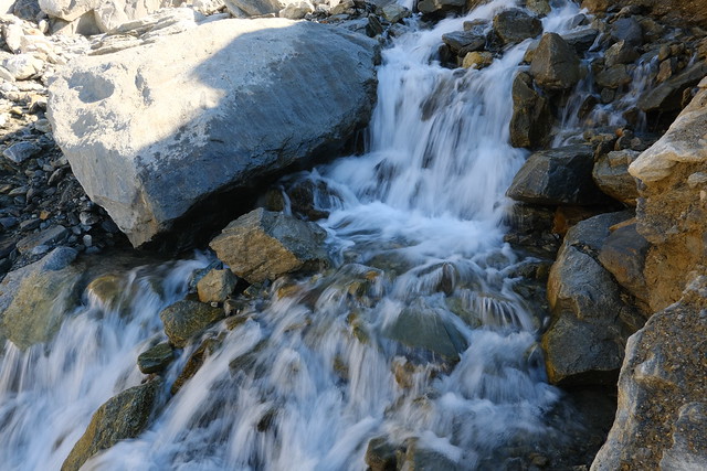
▲ Waterfall formed by Nant d’Armancette.
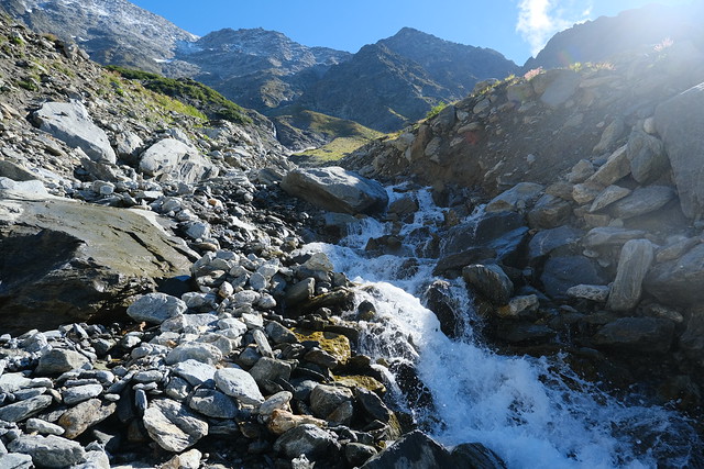
▲ Nant d’Armancette. This part was tricky to cross. After a bit of searching and a few tries, I managed to cross without getting my feet wet.
▲ On the other side.
▲ Aravis.
▲ Mont Joly.
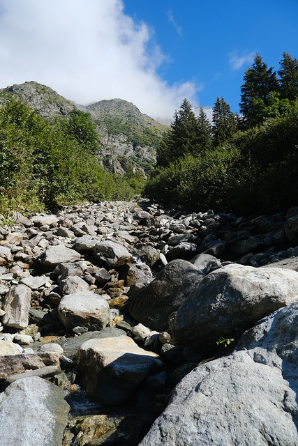
▲ Another torrent to cross. This one was easy.
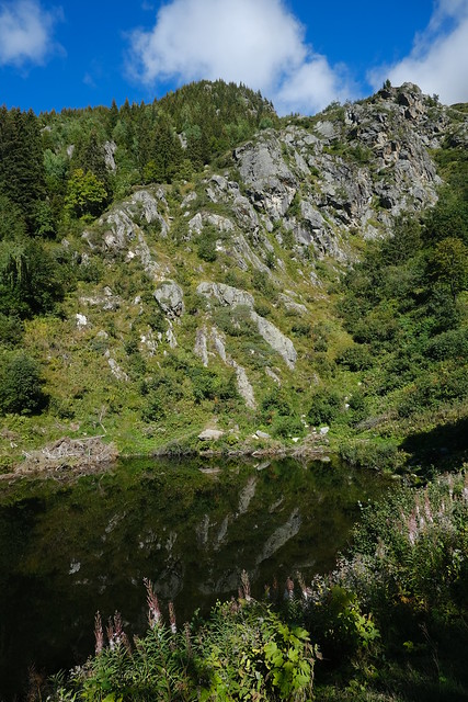
▲ Lac d’Armancette.
▲ Steep part.
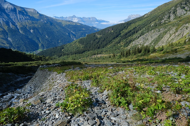
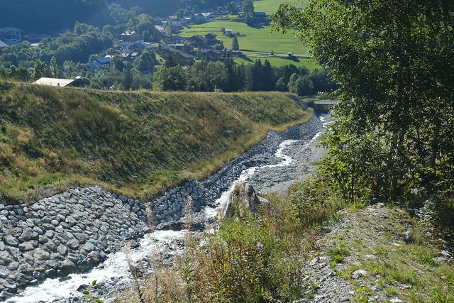
▲ This is a structure to protect from overflows of Nant d’Armancette.
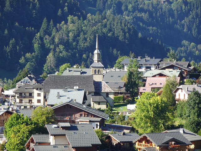
▲ Église de la Saint-Trinité in Les Contamines-Montjoie.
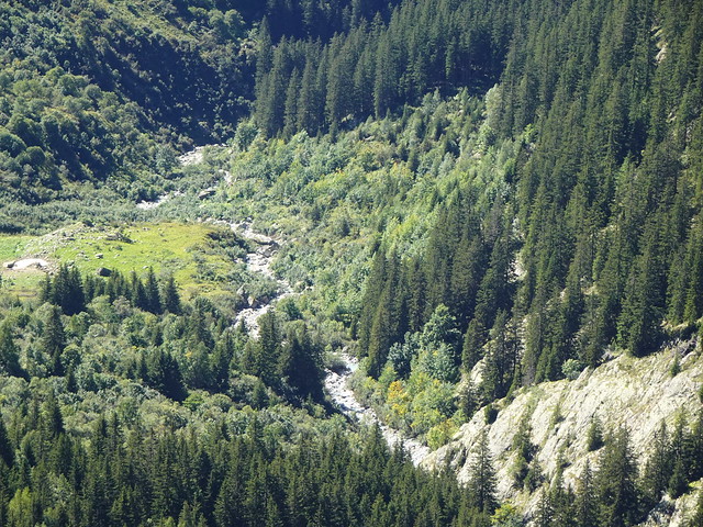
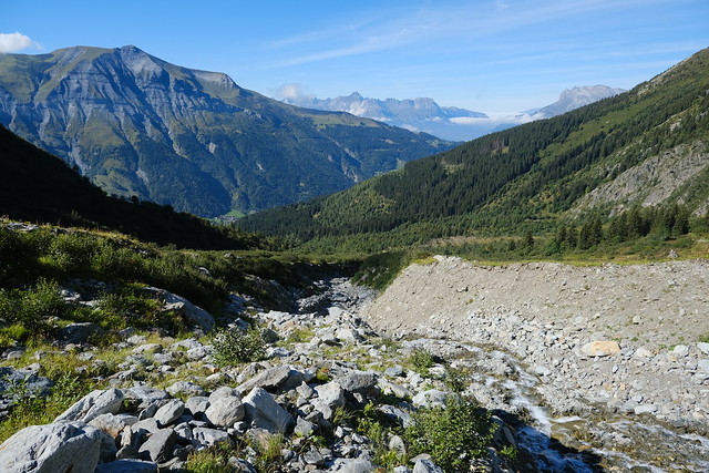
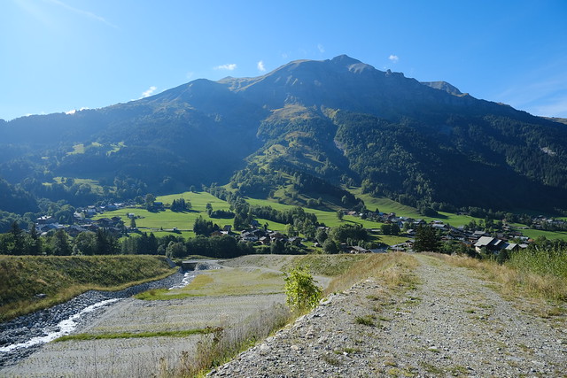
▲ Nant d’Armancette.
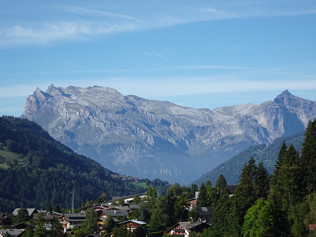
▲ Dômes de Miage.
▲ Dômes de Miage seen from the Saint-Gervais-les-Bains-Le-Fayet train station.

