Hike to Cascade de Montviard & Cascade du Nant d'Alex
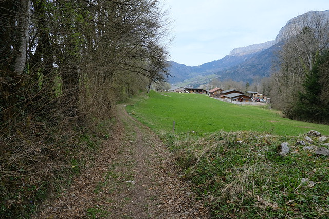
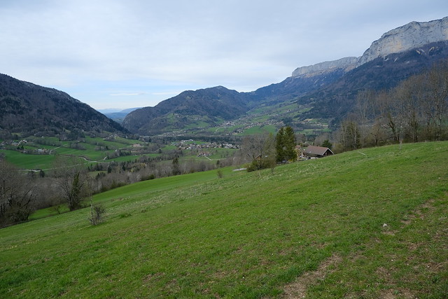
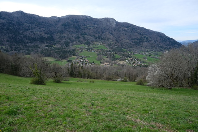
In early spring 2021, I went on a hike across Bluffy and Alex passing by the waterfalls in the area: Cascade de Montviard and Cascade du Nant d’Alex.
Here is a map of the path I walked:
- Download path KML
- Download large map
- More photos on Flickr
- Day of the hike: April 5th, 2021
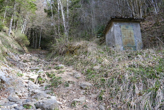
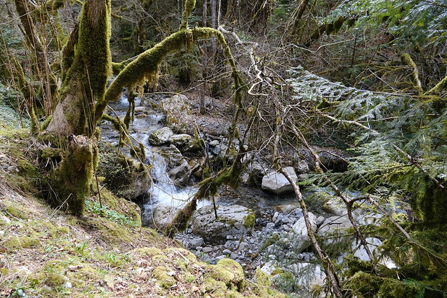
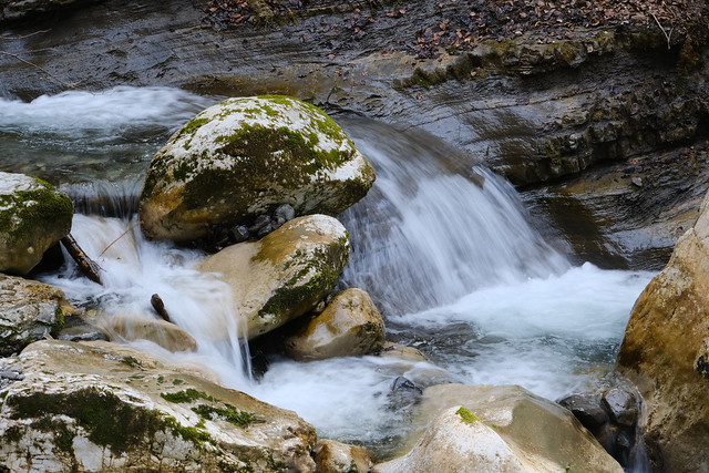
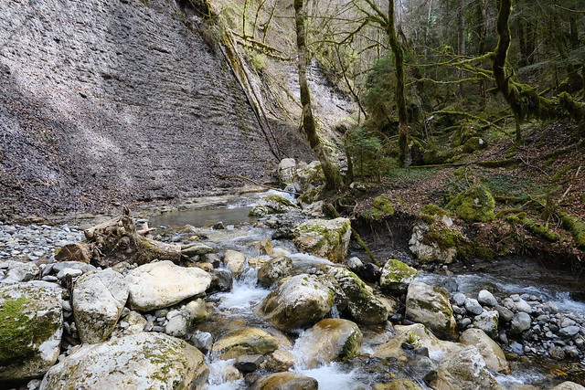
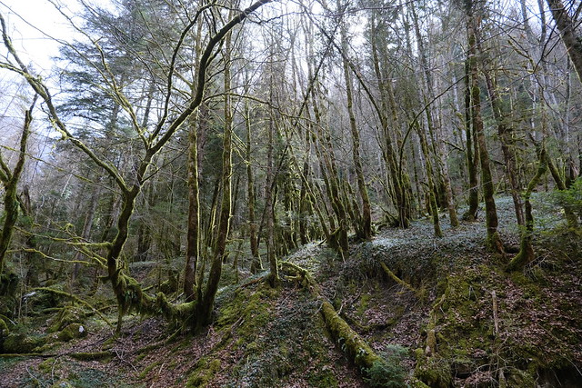
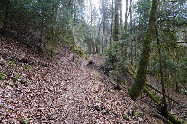
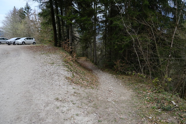
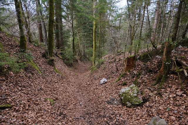
In the morning, I took a Car Région bus (line Y62) to Col de Bluffy. I walked through the village in order to fin the trailhead (same as for the hike to Rochers des Moillats). At some point, I took a fork to Balcon du Bosson and Cascade de Montviard. There was not much water at the waterfall. I walked up for a while then went down towards the dirt road that goes to Dents de Lanfon. Both OpenStreetMap and the IGN maps indicated a trail to Cascade du Nant d’Alex that didn’t exist (I since added the correct trail to OSM). I kept walking up on the dirt road to try to find it and took a fork that I though might lead to the waterfall, but it led nowhere. I walked a bit off-trail then went down to another dirt road along Nant d’Alex. I found a smaller trail and walked upstream until a ford. I crossed the stream and finally found the path to Cascade du Nant d’Alex. There was more water on that waterfall and it was quite nice. I then joined with the main dirt road then walked down towards the village of Alex. Finally, I took a series of trails in order to loop back to Bluffy.
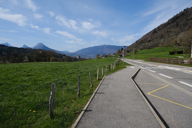
▲ At Col de Bluffy.
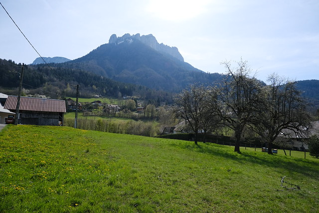
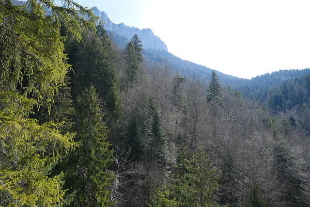
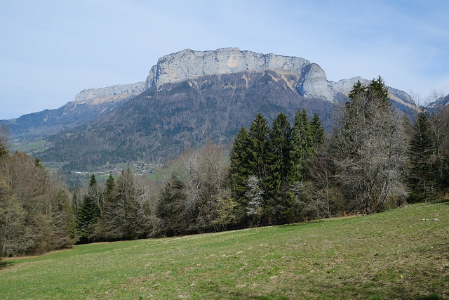
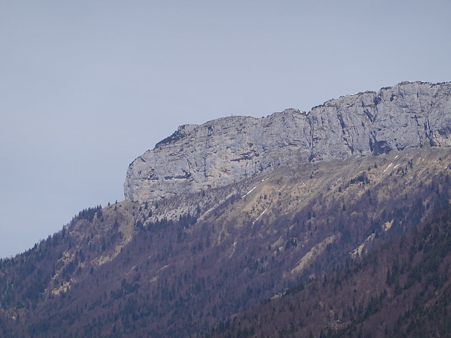
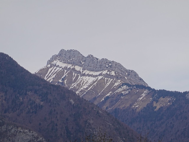
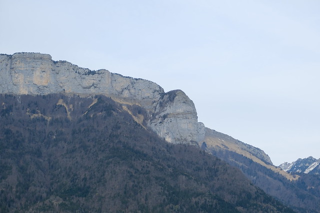
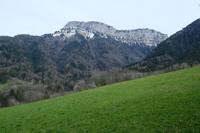
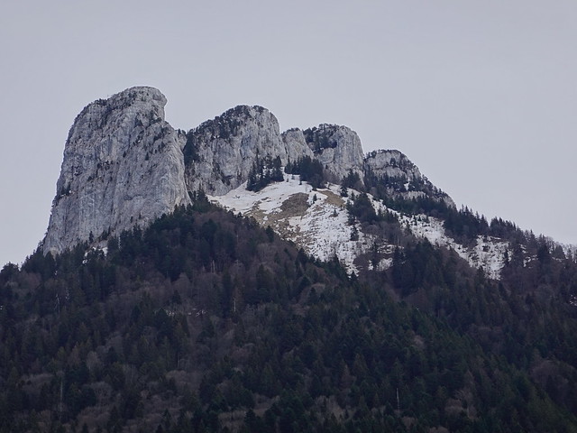
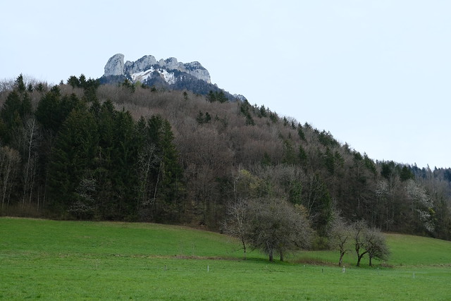
▲ Dents de Lanfon.
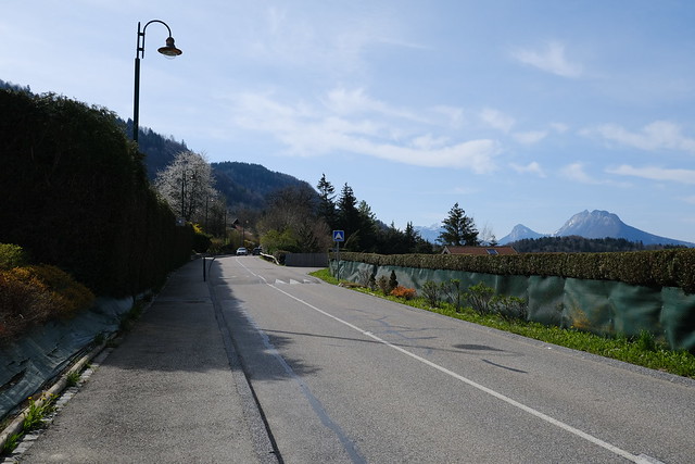
▲ I walked on the side of the road for a while.
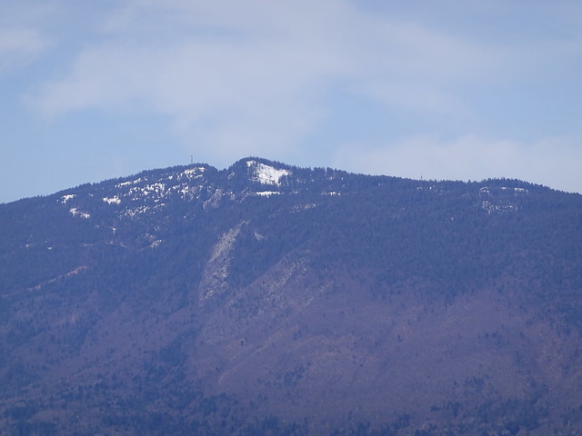
▲ Semnoz.
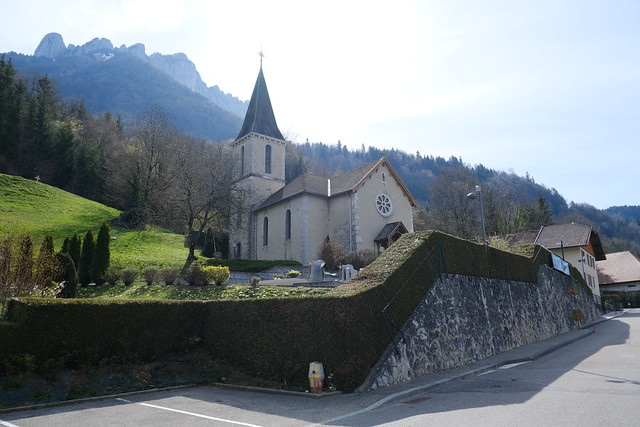
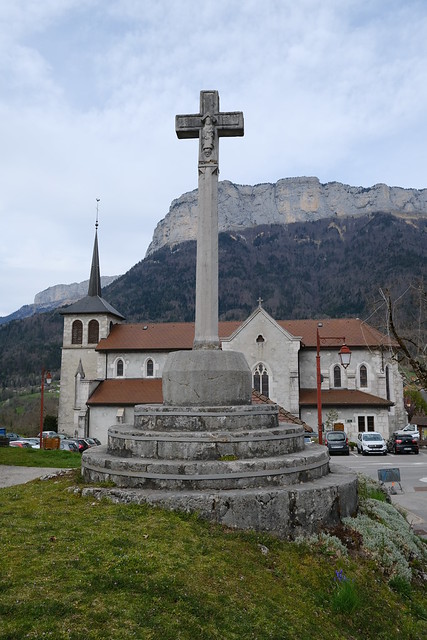
▲ Église Saint-Pierre-et-Saint-Paul in Bluffy.
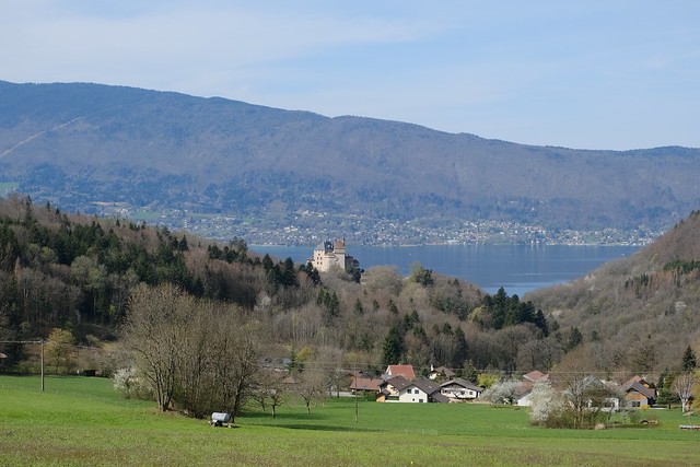
▲ Castle (Château de Menthon-Saint-Bernard).
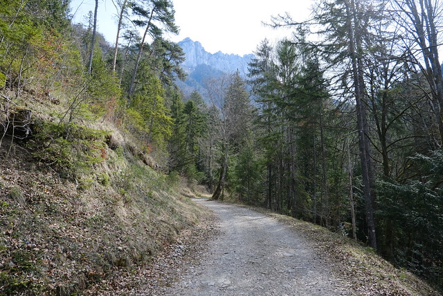
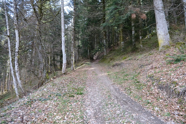
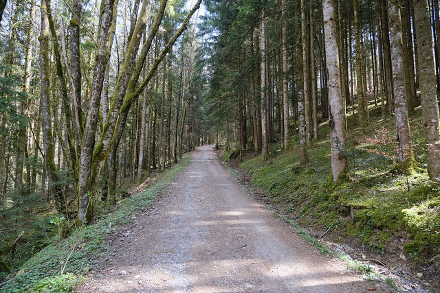
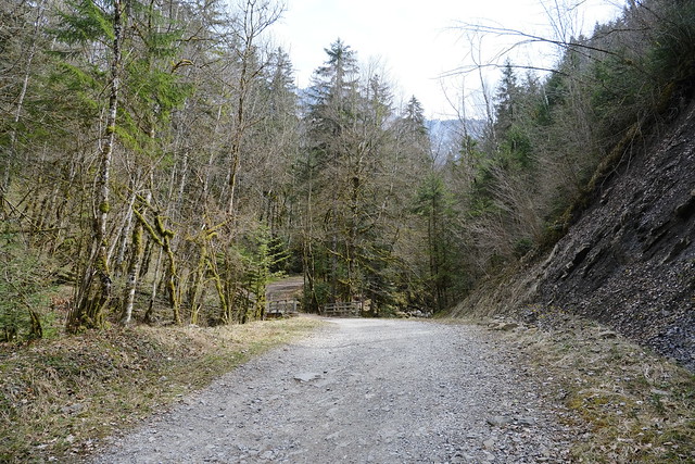
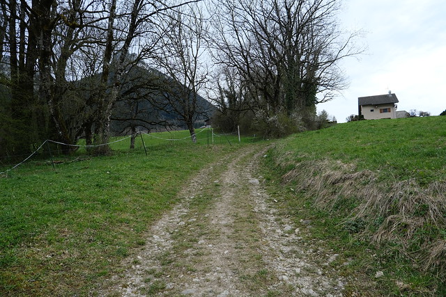
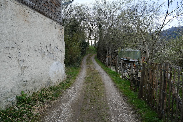
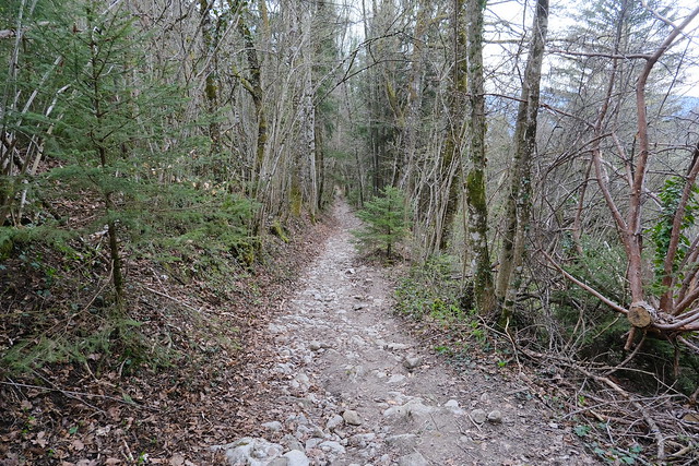
▲ Dirt road.
▲ I took a fork towards Cascade de Montviard.
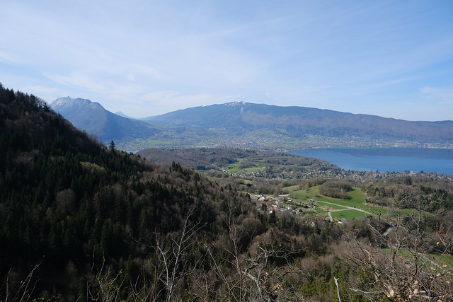
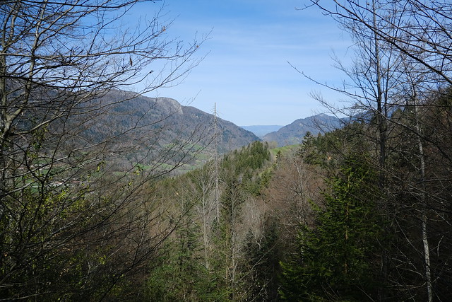
▲ View of Lake Annecy from Balcon du Bosson.
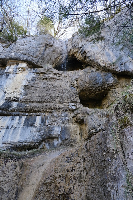
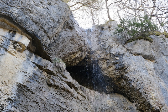
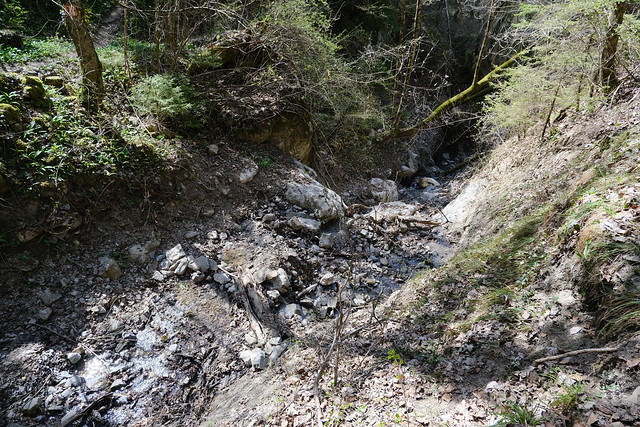
▲ The top of the first waterfall: Cascade de Montviard. It is possible to climb closer to the holes but it looked a bit precarious so I stayed here.
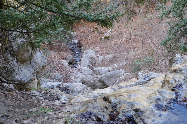
▲ Looking down at the rest of the waterfall.
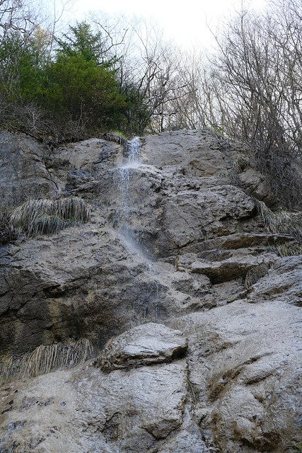
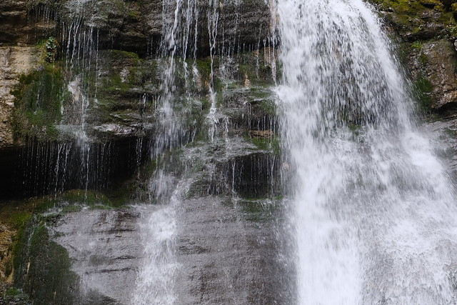
▲ More a leaking faucet than the Niagara Falls.
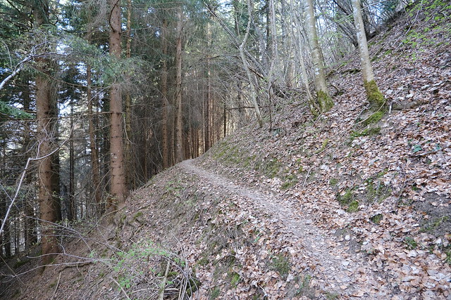
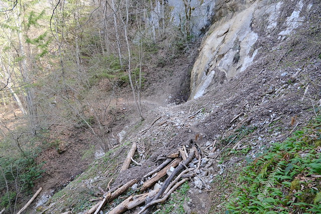
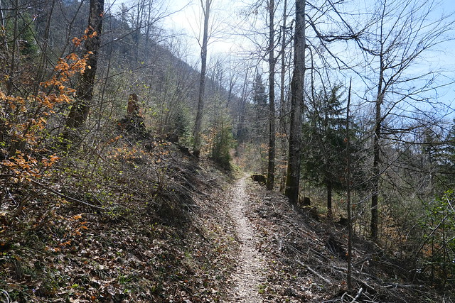
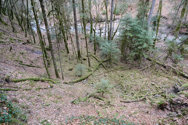
▲ There is a steep trail to get down.
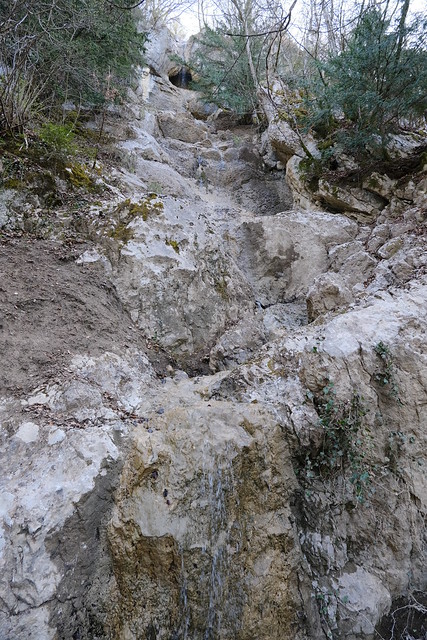
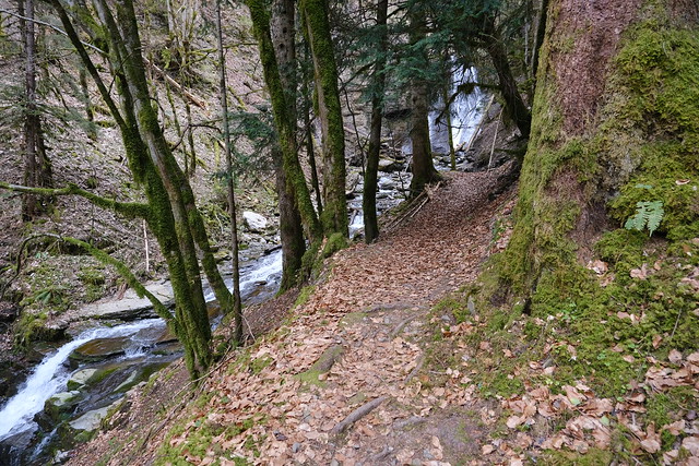
▲ Below the full waterfall.
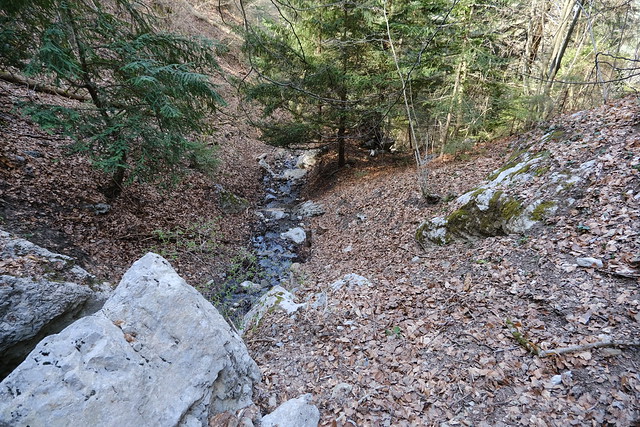
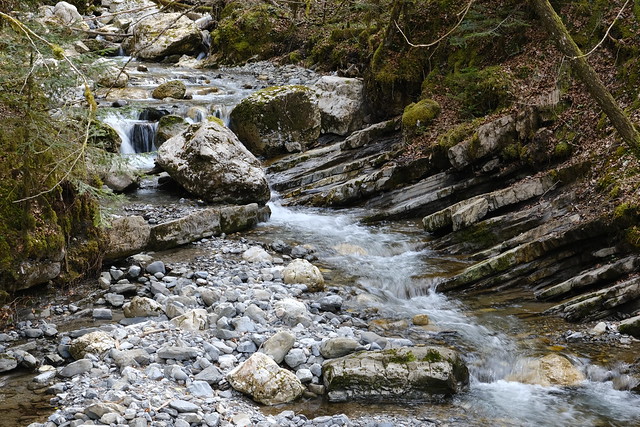
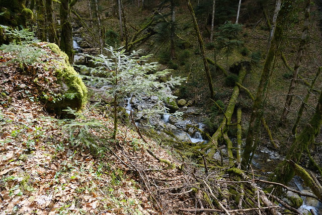
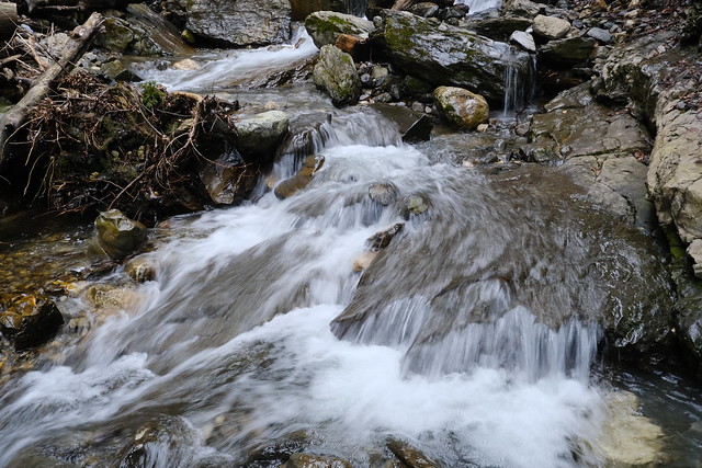
▲ Nant de Bluffy downstream.
▲ Another waterfall.
▲ Ruisseau de Cotonaz.
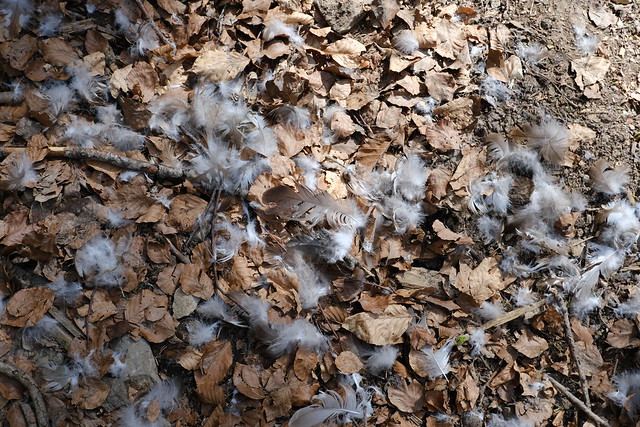
▲ Feathers.
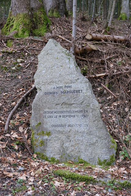
▲ Hunting accident memorial.
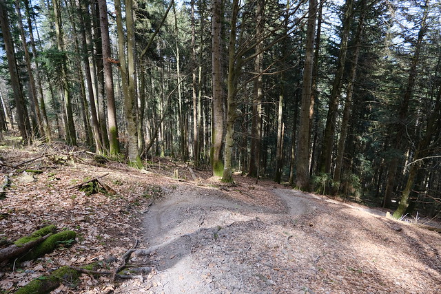
▲ I took a downhill mountain bike course to get down.
▲ I joined with the dirt road that goes to Dents de Lanfon.
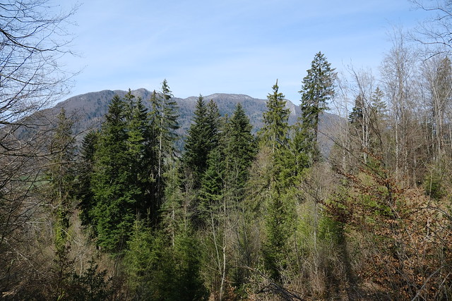
▲ Parmelan and Mont Téret.
▲ Tête du Parmelan.
▲ Nant de Chantapot. It flows into the Fier at Plaine du Fier.
▲ I couldn’t find the trail as indicated on the maps so I kept going up.
▲ I saw a fork on the left and followed it, but it led nowhere. I should have continued on the main road for a few minutes.
▲ Nant d’Alex.
▲ I walked off-trail for a bit, looking for the trail to the waterfall as shown on the map, but to no avail.
▲ I found a downhill mountain bike trail and followed it down.
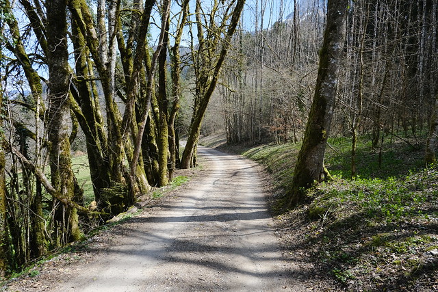
▲ Dirt road.
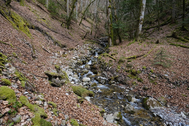
▲ Nant d’Alex.
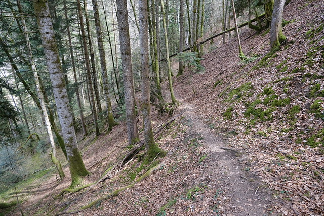
▲ I found a small trail and followed it.
▲ Ford.
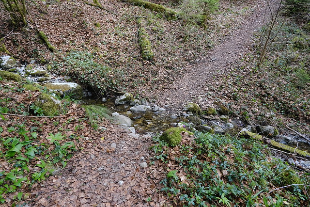
▲ Ford of Nant d’Alex. I managed to cross it without getting my feet wet.
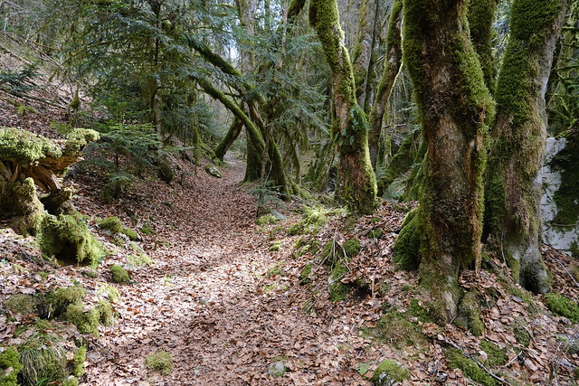
▲ This is the trail to Cascade du Nant d’Alex.
▲ The waterfall. There was quite a bit more water that on Cascade de Montviard.
▲ On the way to the main dirt road.
▲ Trail to Villards-dessous in Alex.
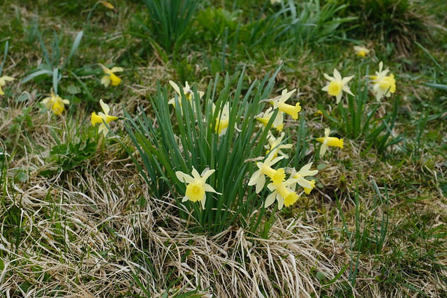
▲ Daffodils. There were a few people collecting them.
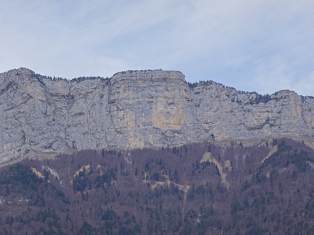
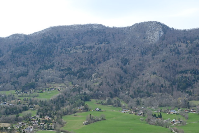
▲ Montagne de Lachat.
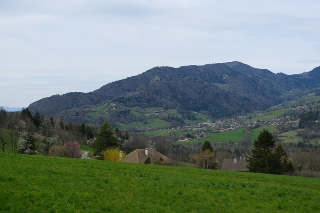
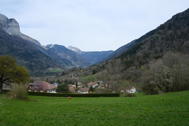
▲ The main village of Alex.
▲ Summit of Mont Téret.
▲ Croix d’Alex.
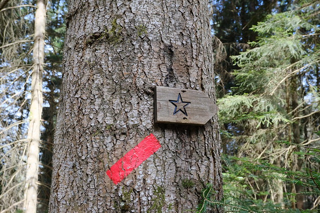
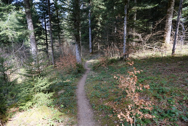
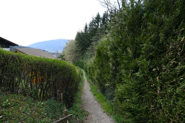
▲ I took a trail in order to loop back to Bluffy.
▲ Mont Baret.
▲ Tête à Turpin.
▲ Dent du Cruet.
▲ Towards Dingy-Saint-Clair.
▲ Dents de Lanfon.
▲ Back in Bluffy.
▲ Waiting for the bus back to Annecy at Col de Bluffy.

