Hike to Passage de la Grande Forclaz: From La Clusaz to Sallanches
In summer 2020, I went on a hike in the Aravis mountains: Starting from La Clusaz, I walked to Passage de la Grand Forclaz then went down to Sallanches, passing through Combe de la Grande Forclaz, Combe des Fours, Arête de la Besse and Tête du Greppon on the way.
Here is a map of the path I walked:
- Download path KML
- Download large map
- More photos on Flickr
- Day of the hike: August 27th, 2021
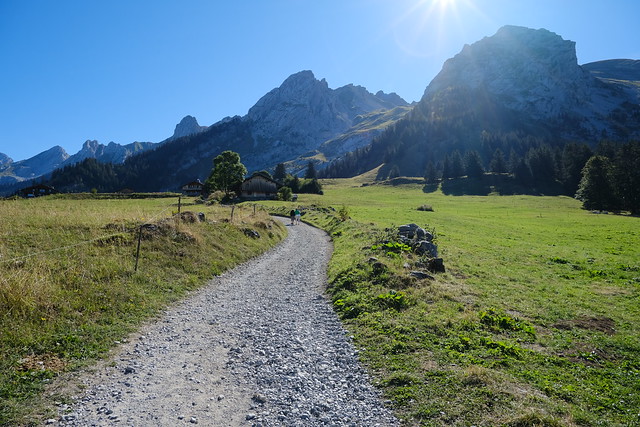
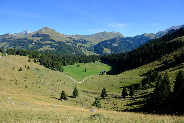
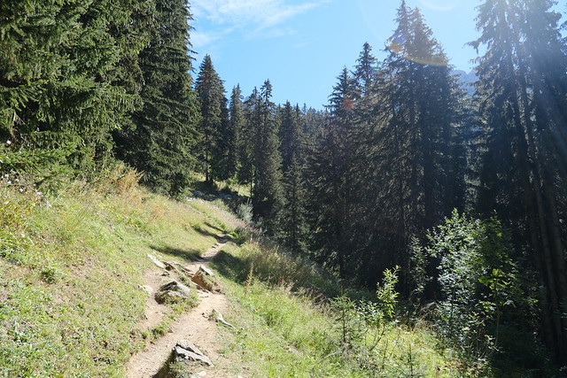
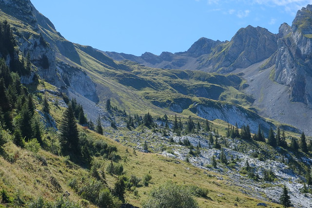
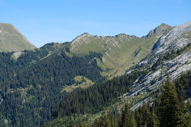
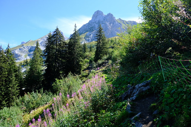
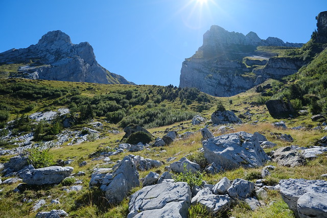
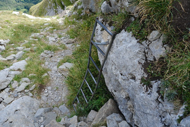
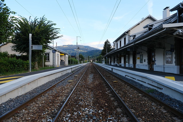
In the morning, I took a Car Région bus to La Clusaz (line Y62) then boarded a summer shuttle to Lac des Confins. I started walking on the trail to Refuge de la Bombardellaz below the Aravis. At the Refuge, I took the fork to Combe de la Grande Forclaz. I walked to the end of the Combe and Passage de la Grande Forclaz. There was a great view from there. I started on the way down towards Combe des Fours and Col de Portette. At the Col, I walked up off-trail to Arête de la Besse, walked on the ridge then went down to Tête du Greppon. I made a detour to Gouille des Fours then went on my way to Sallanches. The path was very steep at times with multiple ladders and steps. It is probably better on the way up. I then found a dirt road and walked the path down to Sallanches. There were some parts on the side of the paved road. Finally, I headed to the train station and waited for the train back to Annecy.
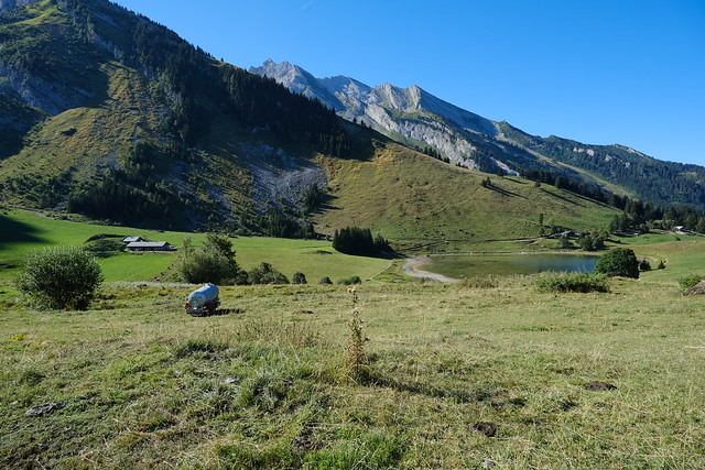
▲ Lac des Confins.
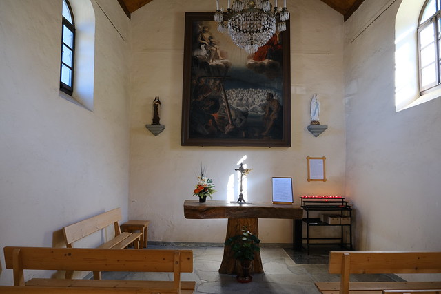
▲ Inside Chapelle des Confins.
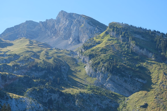
▲ Aravis.
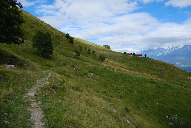
▲ On the way to Refuge de la Bombardellaz.
▲ Combe du Grand Crêt.
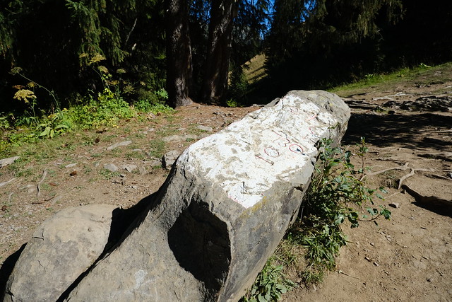
▲ Pierre Marquée (Marked Stone). It marks the border between La Clusaz and Le Grand-Bornand.
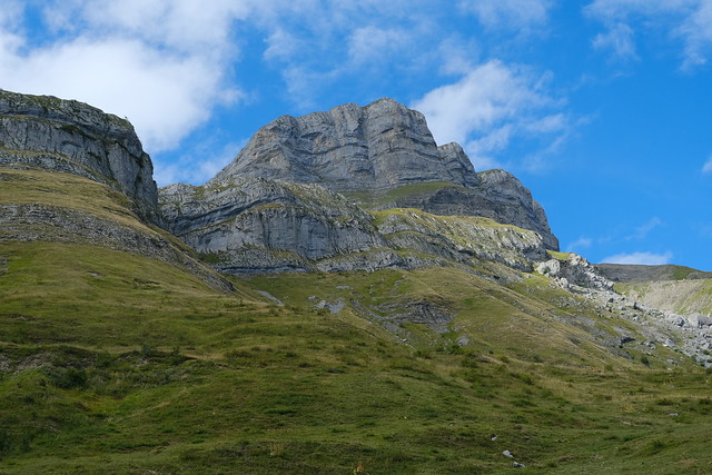
▲ Tête du Danay.
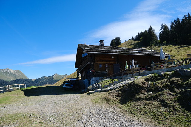
▲ Refuge de la Bombardellaz.
▲ Vallée du Bouchet and Mont Lachat de Châtillon.
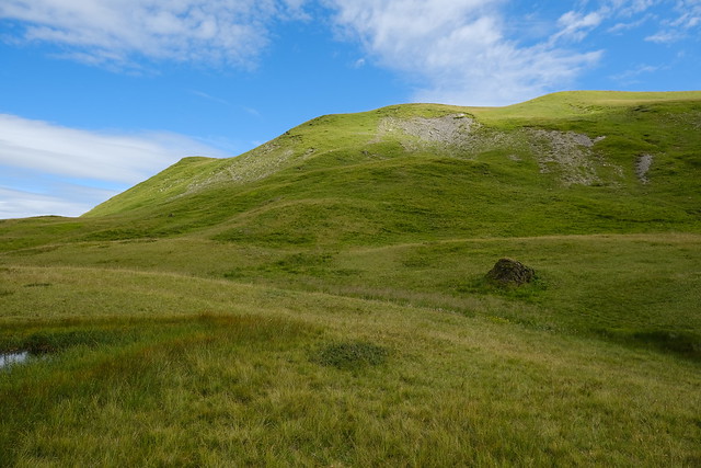
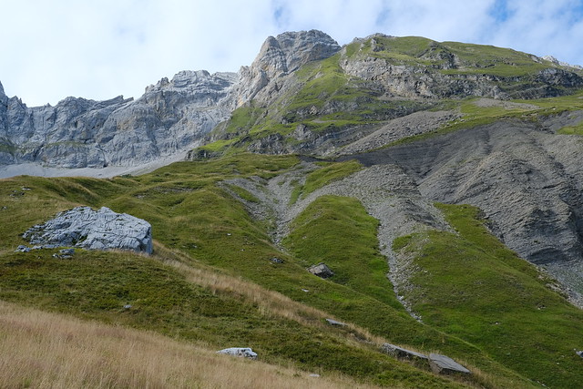
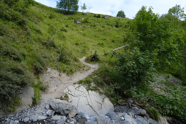
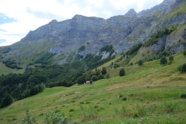
▲ On the way to Combe de la Grande Forclaz.
▲ Col de l’Oulettaz.
▲ Bargy mountains in the background.
▲ Tête du Danay and Mont Lachat de Thônes.
▲ La Mamule.
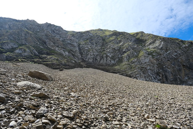
▲ Almost at Combe de la Grande Forclaz.
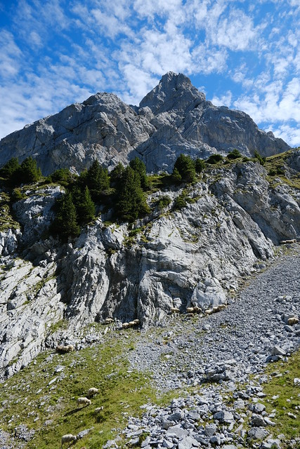
▲ Sheep.
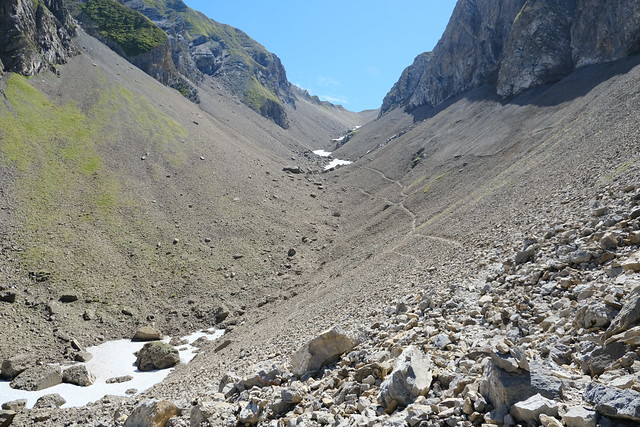
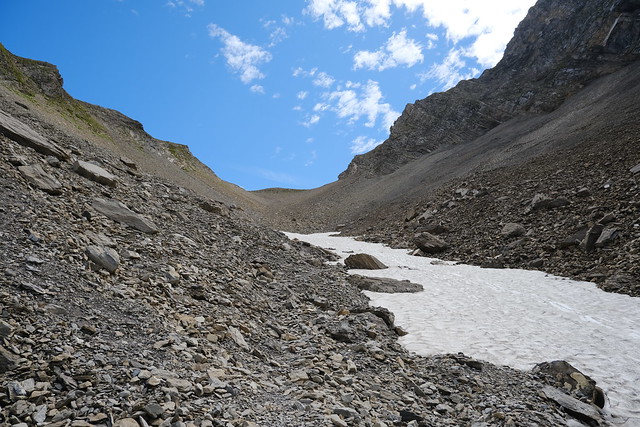
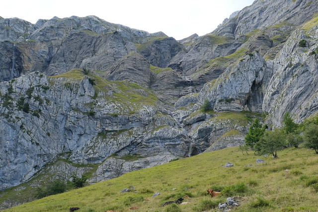
▲ In Combe de la Grande Forclaz, on the way to Passage de la Grande Forclaz.
▲ Some snow left at the end of August.
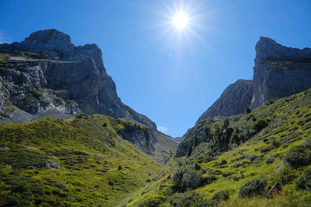
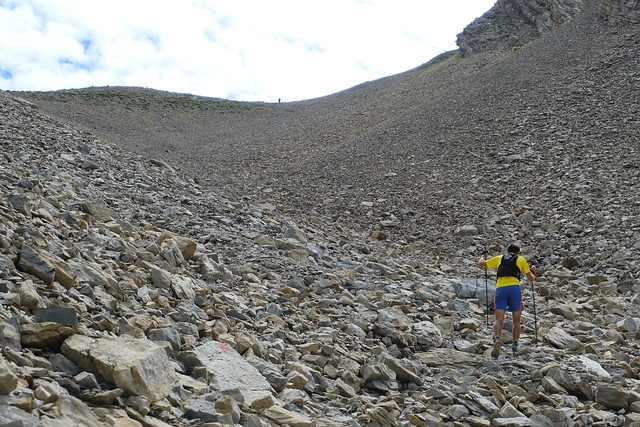
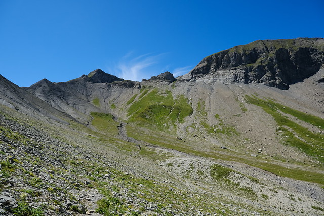
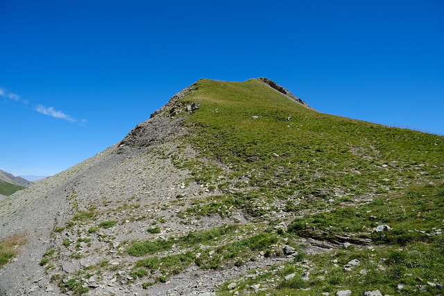
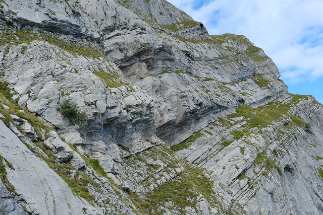
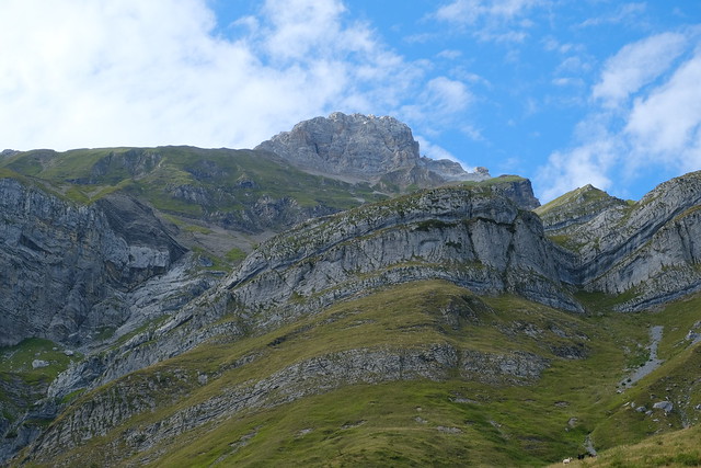
▲ Final part before Passage de la Grande Forclaz.
▲ Mont Fleuri.
▲ Ambrevetta and Pointe de Tardevant.
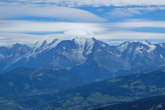
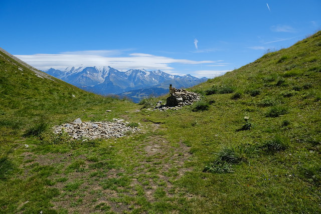
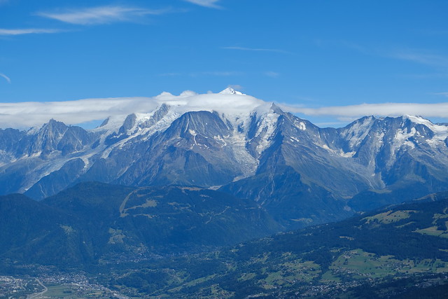
▲ Mont Blanc seen from Passage de la Grande Forclaz.
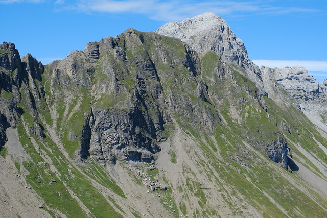
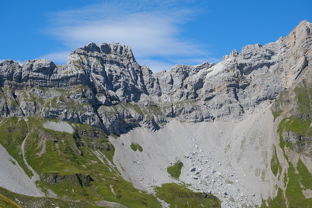
▲ Les Quatre Têtes.
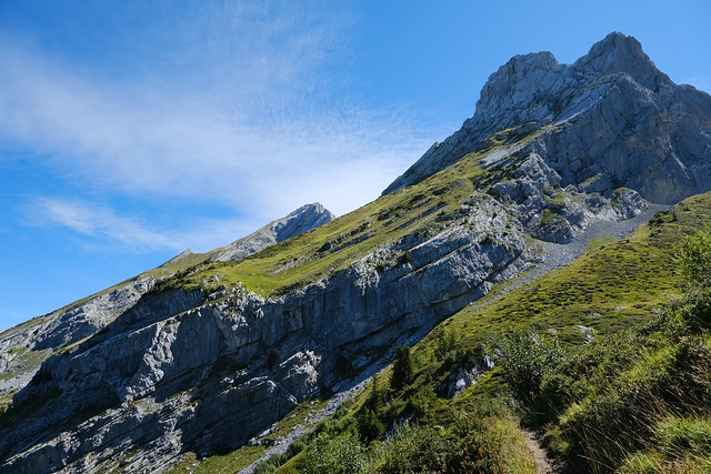
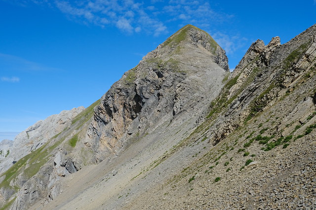
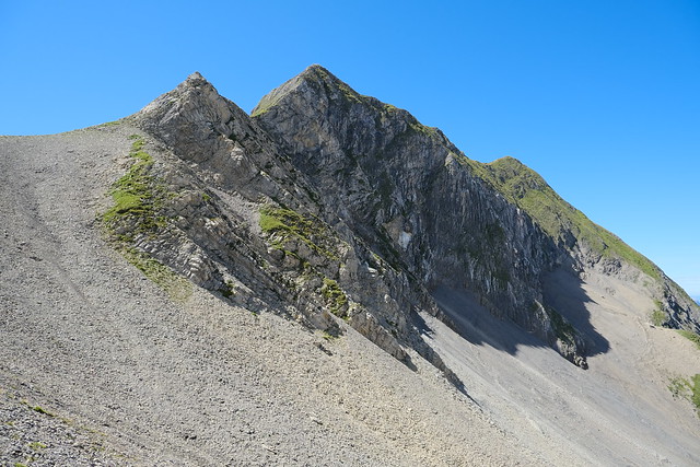
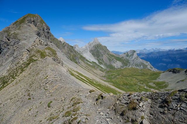
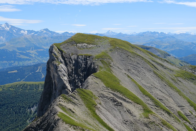
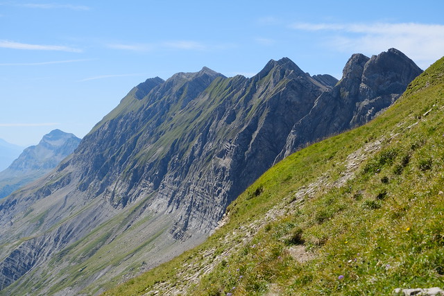
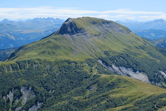
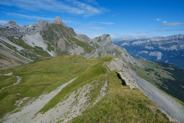
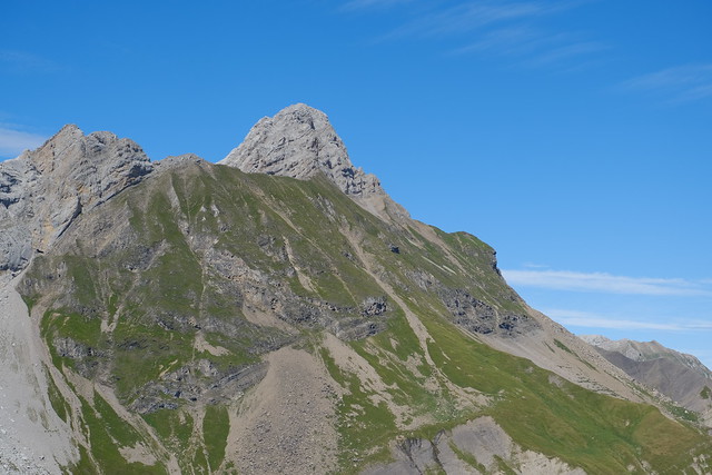
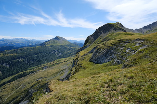
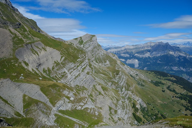
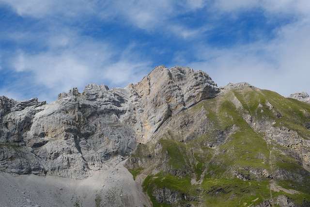
▲ Arête de la Besse.
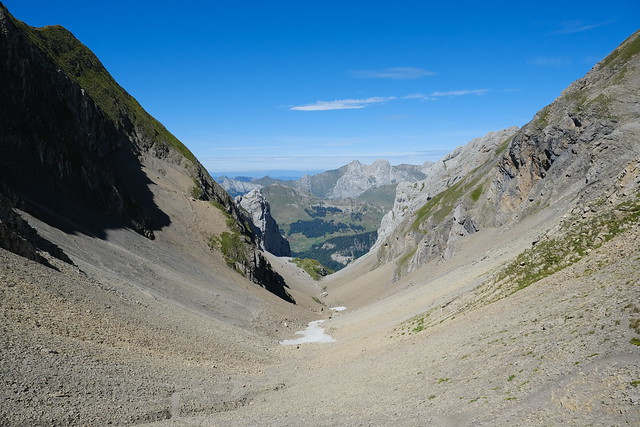
▲ Looking back at Combe de la Grande Forclaz.
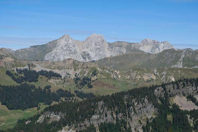
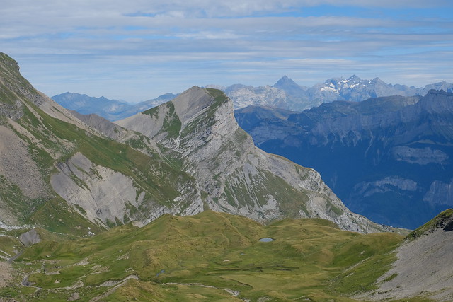
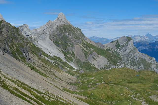
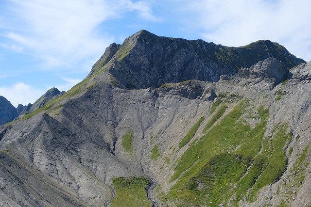
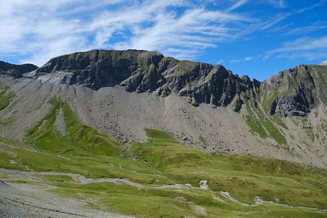
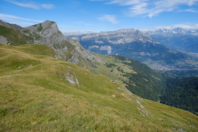
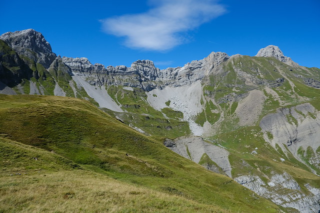
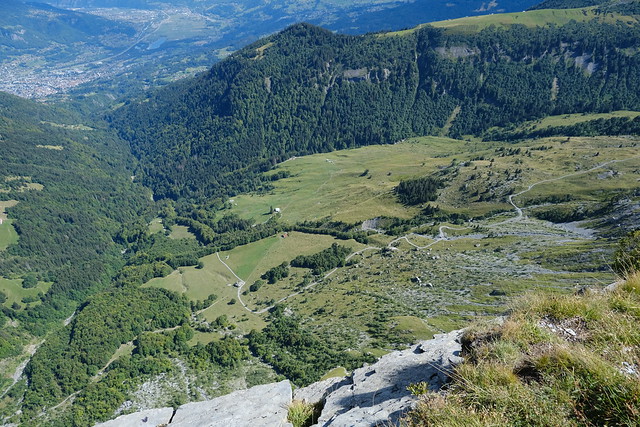
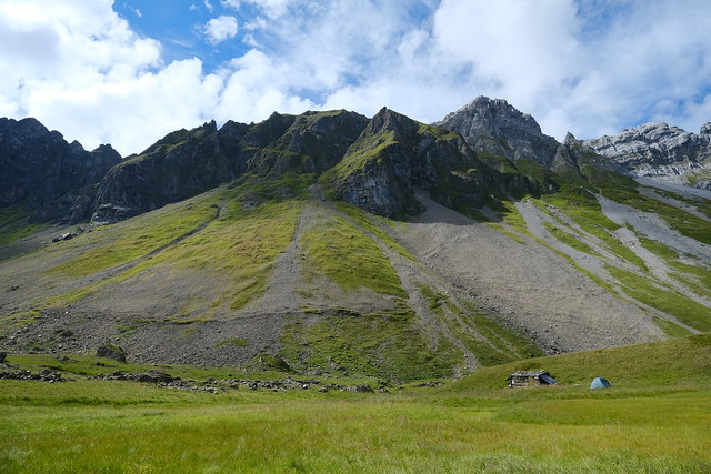
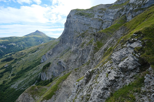
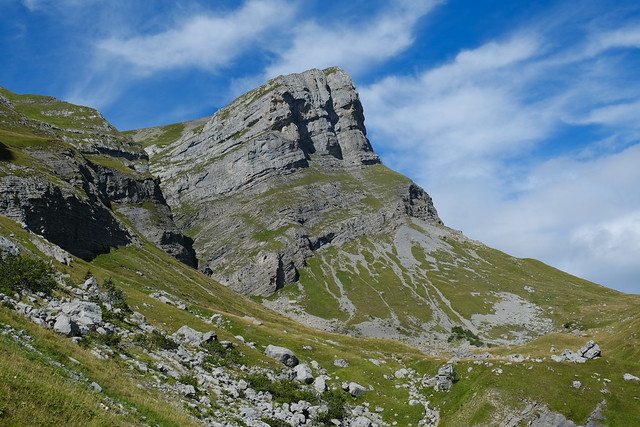
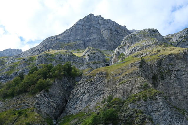
▲ The north part of the Aravis range. Combe des Fours is the green pasture below.
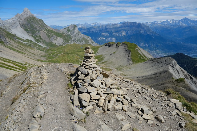
▲ Cairn at Passage de la Grande Forclaz.
▲ La Miaz.
▲ Aravis to the south.
▲ Pointe Percée and Les Quatre Têtes.
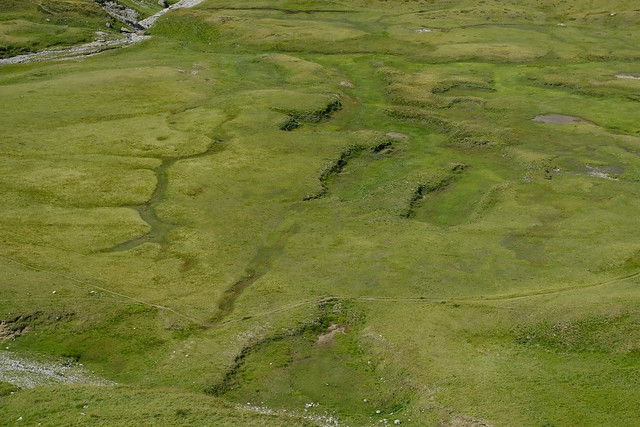
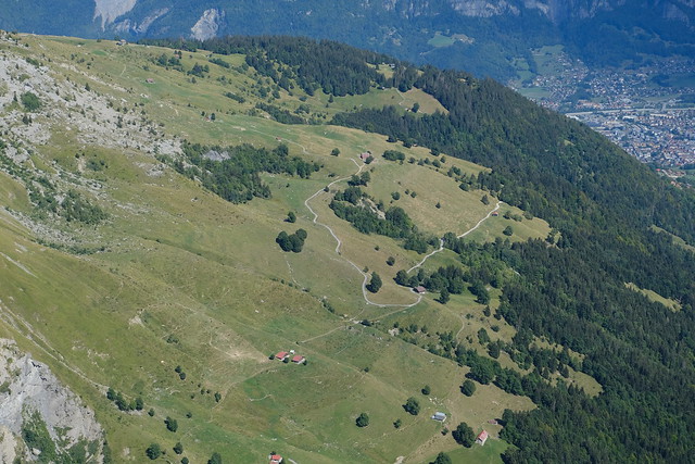
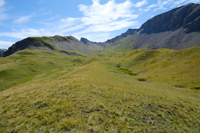
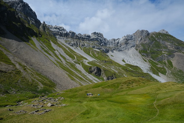
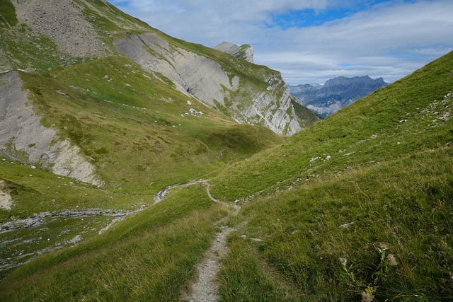
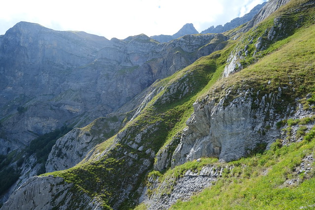
▲ Combe des Fours on the way down
▲ Looking back at Passage de la Grande Forclaz.
▲ Col de Portette.
▲ On the way to Arête de la Besse.
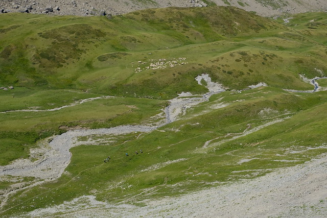
▲ Sheep in Combe des Fours.
▲ Passage de la Grande Forclaz and Ambrevetta.
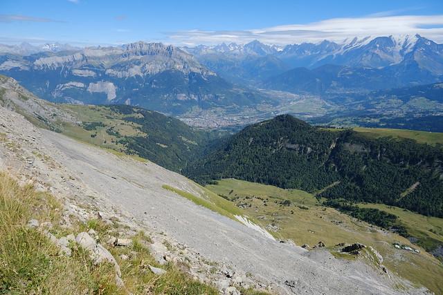
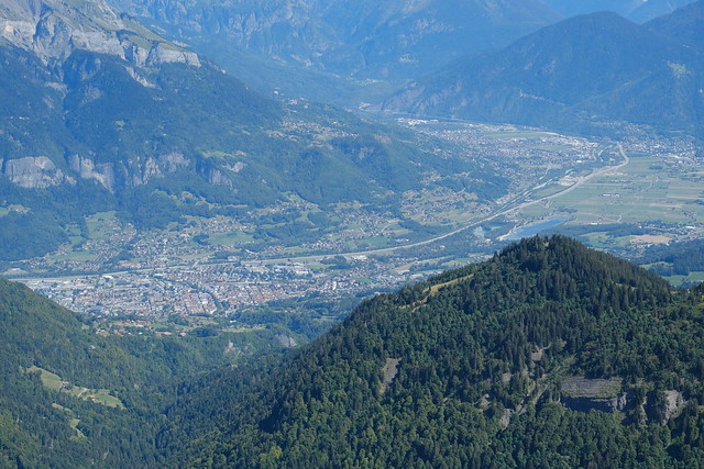
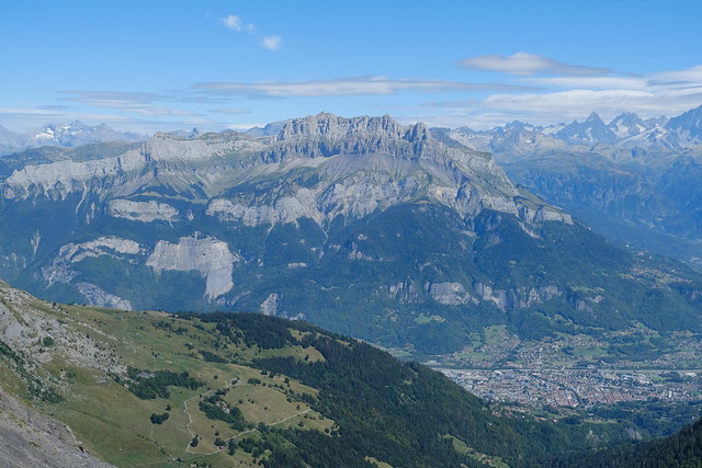
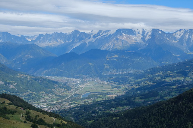
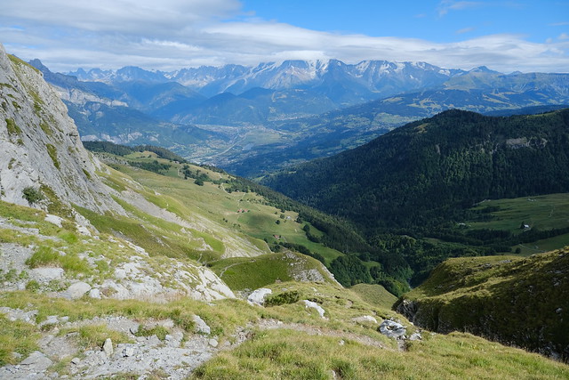
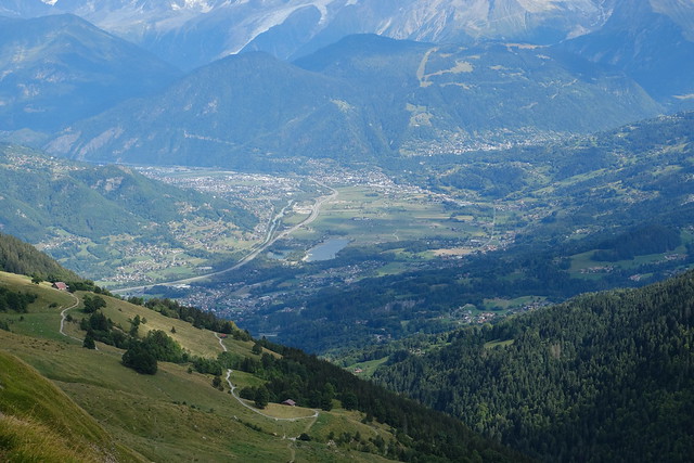
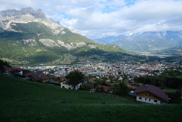
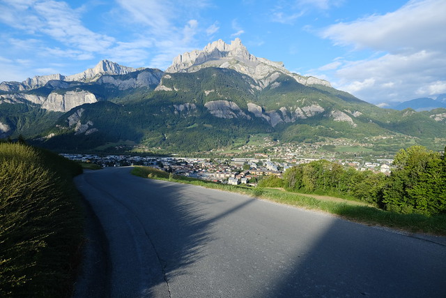
▲ Sallanches in the valley.
▲ Mont Charvet.
▲ Aiguille Rouge and Aiguille de Varan.
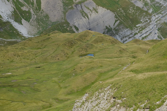
▲ Gouille des Fours.
▲ Pointe Percée.
▲ Down from Arête de la Besse.
▲ Mont Blanc
▲ View from Tête du Greppon.
▲ Grand Croisse Baulet and Arête de la Besse.
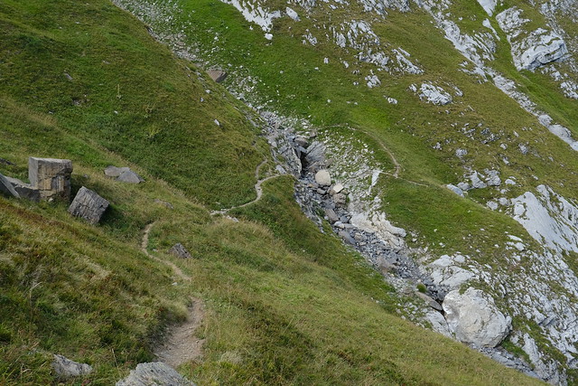
▲ Off-trail.
▲ Les Quatre Têtes.
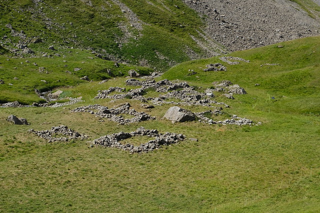
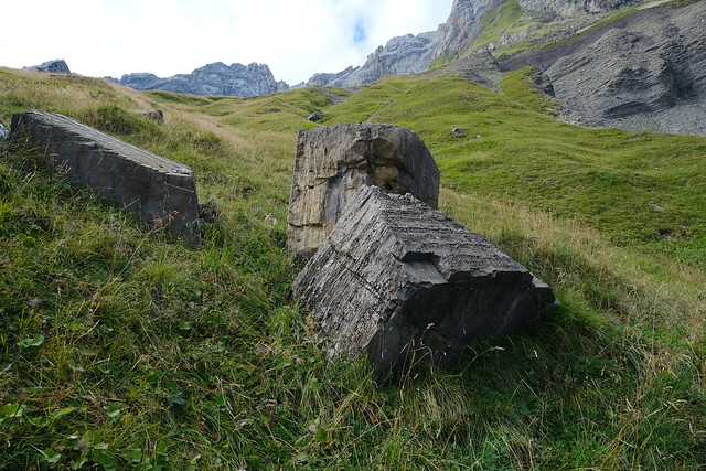
▲ Ruins of chalets.
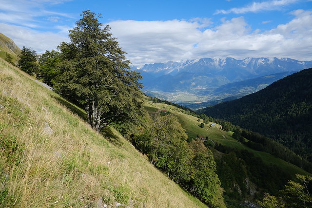
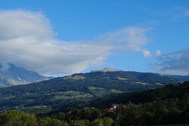
▲ Arve valley.
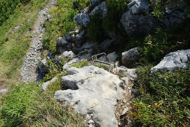
▲ Ladder.
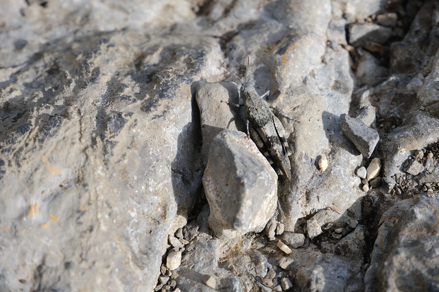
▲ Criquet.
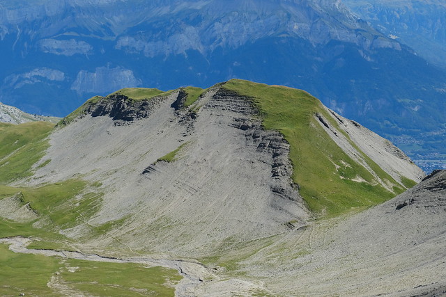
▲ Tête du Greppon.
▲ Cascade des Fours.
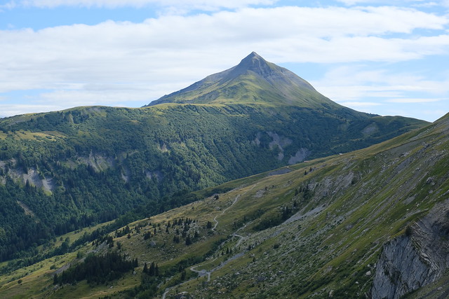
▲ Grand Croisse Baulet.
▲ Les Quatre Têtes.
▲ At the bottom of the trail.
▲ Les Quatre Têtes.
▲ Pointe Percée.
▲ Tête Noire.
▲ Sallanches.
▲ Aiguille de Varan.
▲ Mont Joly.
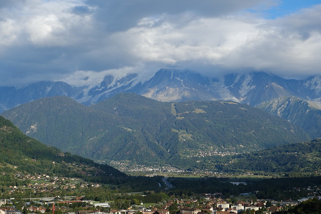
▲ Mont Blanc in the clouds.
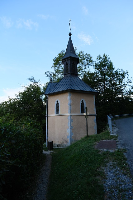
▲ Chapelle de l’Immaculée in Sallanches.
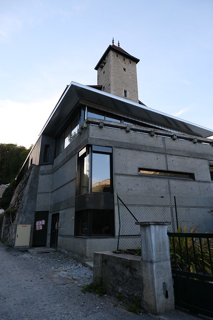
▲ Château des Rubins.
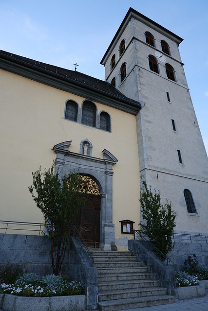
▲ Colllégiale Saint-Jacques-le-Majeur.
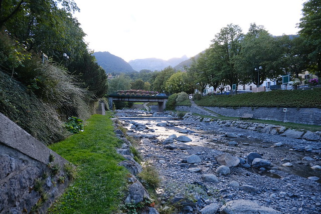
▲ Sallanches river.
▲ Sallanches SNCF station.

