Hike to Aiguille des Calvaires & Combe de Borderan
At the end of the summer of 2021, I went on a hike to Aiguille des Calvaires and Combe de Borderan, in the Aravis mountains above La Clusaz.
Here is a map of the path I walked:
- Download path KML
- Download photo KML
- Download large map
- More photos on Flickr
- Day of the hike: September 12th, 2021
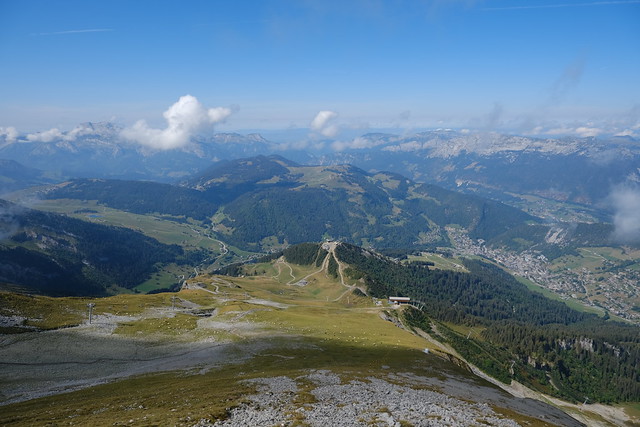
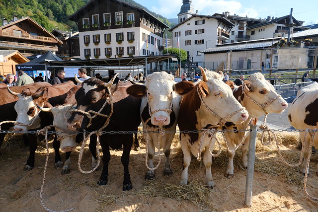
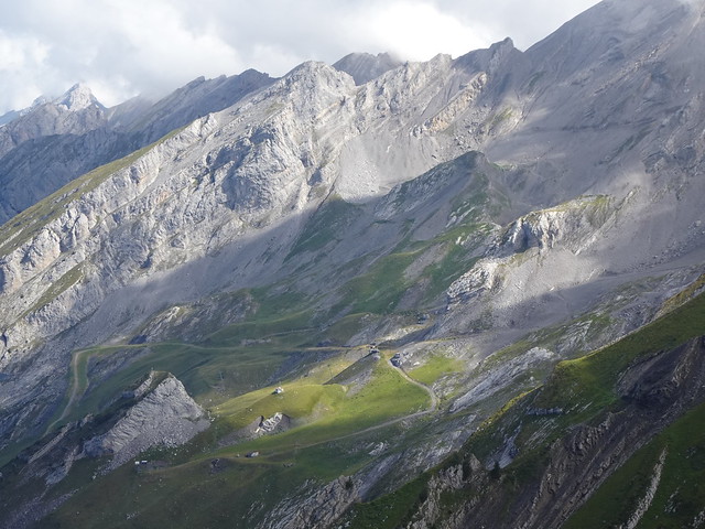
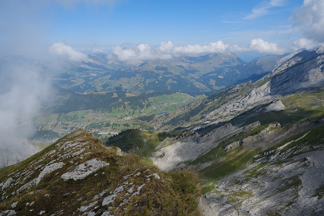
In the morning, I went to La Clusaz using a Car Région bus (line Y62). I walked to the lower station of Télésiège du Crêt du Merle, a chairlift that stayed open on the week-ends in September. On the way, I made a detour to Champ Giguet, where the Foire de la Croix (a faire for selling cattle) was taking place. At Crêt du Merle, I switched to Télésiège du Crêt du Loup. I started walking from there. The trail to Aiguille des Calvaires was straitghtforward. At the summit, there was a great view. I walked down a little and went slightly up again to reach an unnamed summit overlooking Combe de Borderan. I then started on the way down: Instead of taking the same path, I walked down Combe de Borderan. I saw a few groundhogs there. I then walked to the upper station of Télésiège du Crêt du Merle and I rode it back to the village.
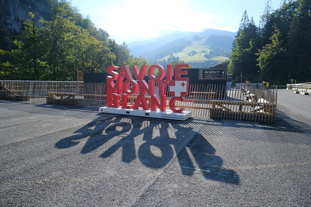
▲ Savoie Mont Blanc sign at the bus station (Gare Routière), in Salon des Dames.
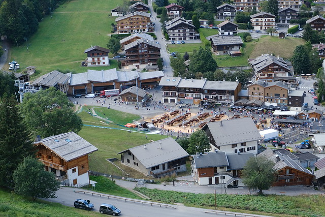
▲ Abondance cattle at Foire de la Croix.
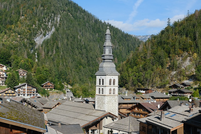
▲ Église Sainte-Foy.
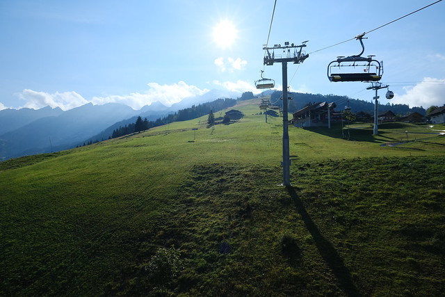
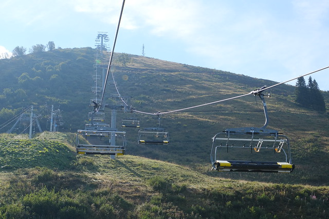
▲ On Télésiège du Crêt du Merle.
▲ Tête du Danay.
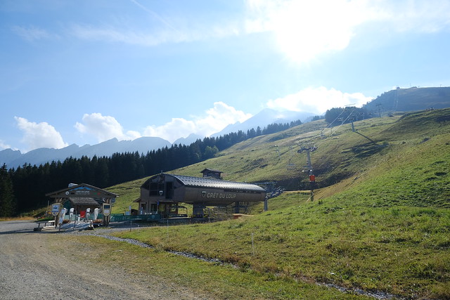
▲ Lower station of Télésiège du Crêt du Loup.
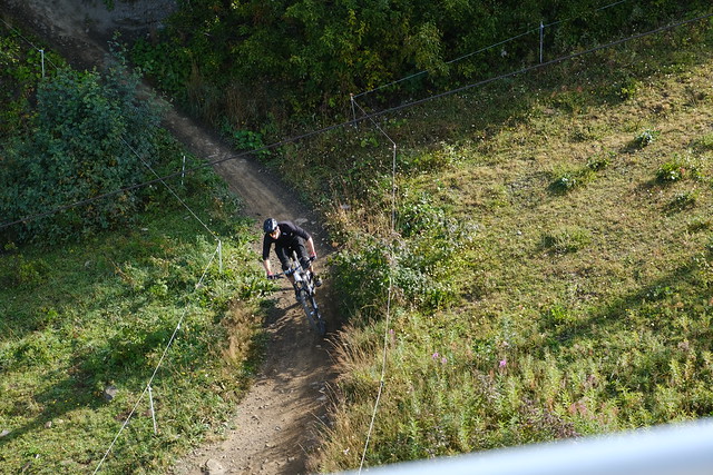
▲ Downhill biker below. The chairlifts can accommodate mountain bikes.
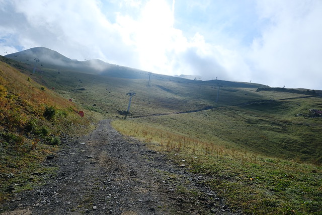
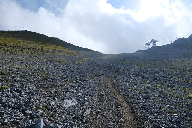
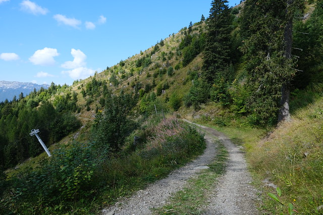
▲ Start of the path at Crêt du Loup.
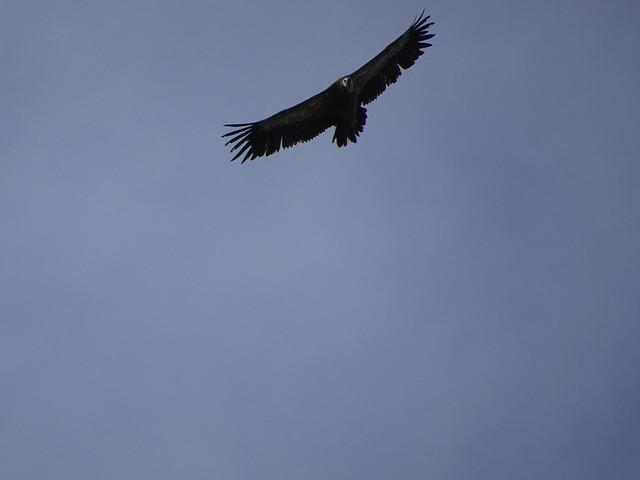
▲ Vulture in the sky.
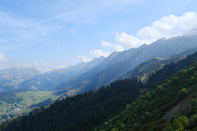
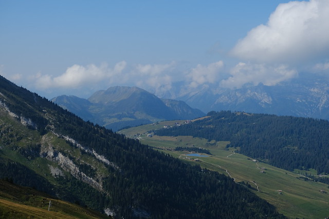
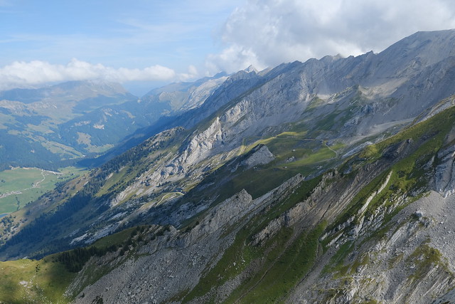
▲ Aravis.
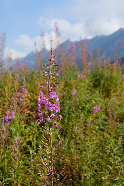
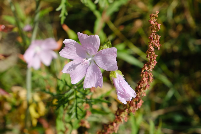
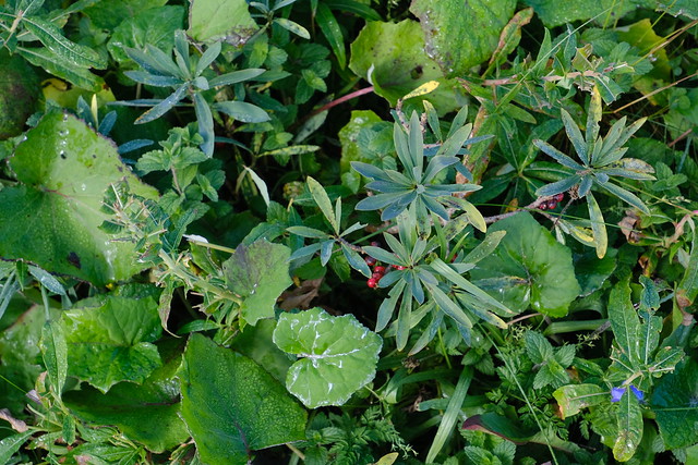
▲ Fireweed flower.
▲ Col de Merdassier.
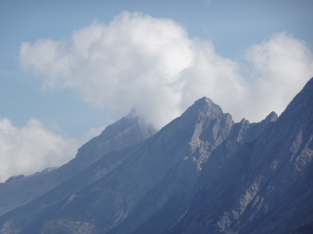
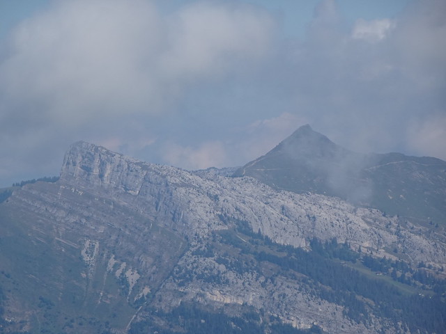
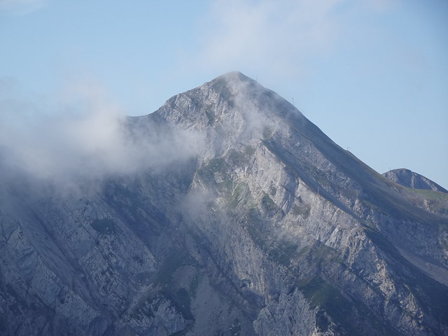
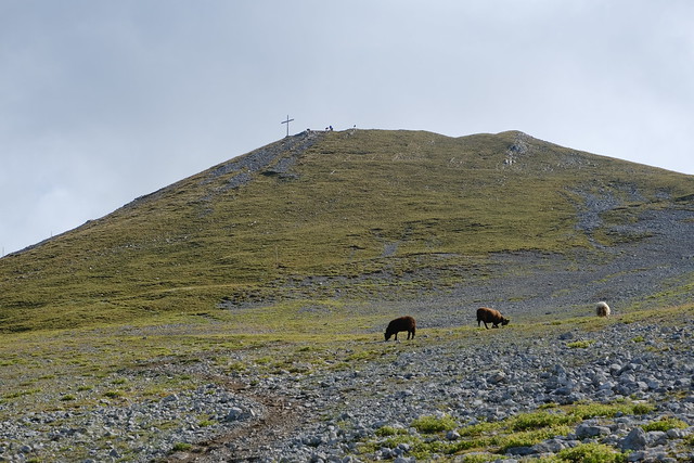
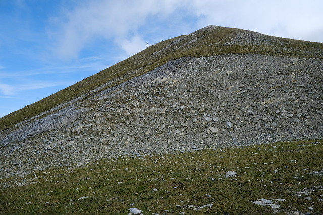
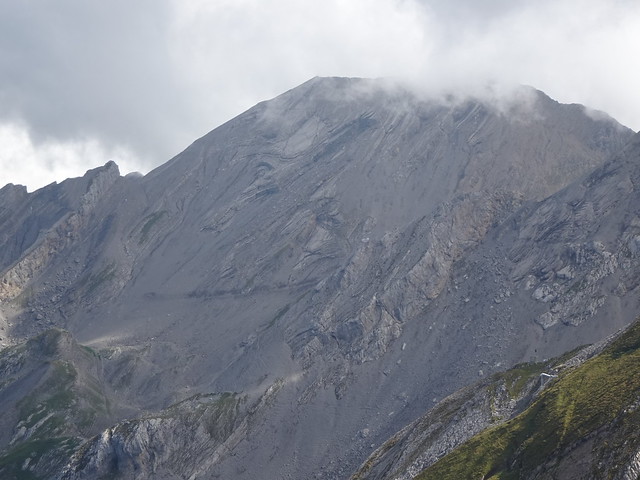
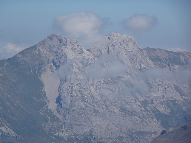
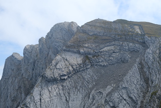
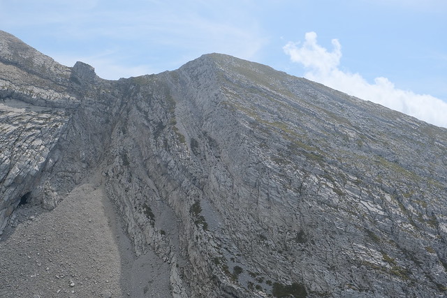
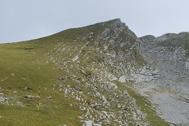
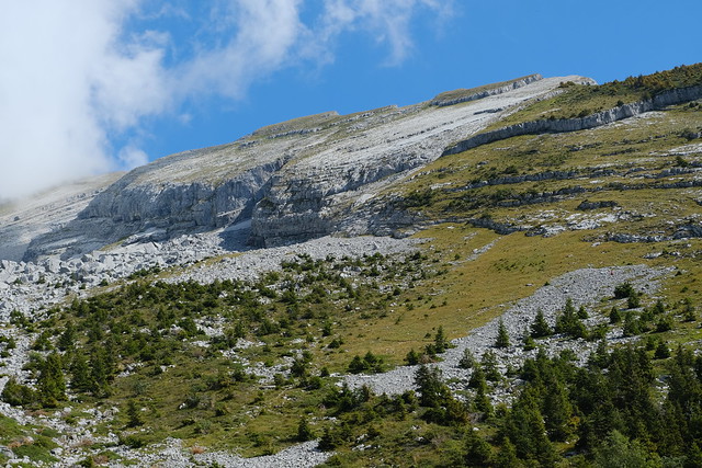
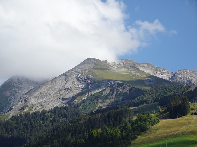
▲ Aiguille des Calvaires above.
▲ Roc des Tours and Aiguille Verte.
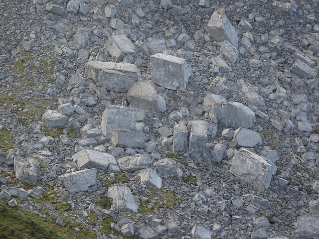
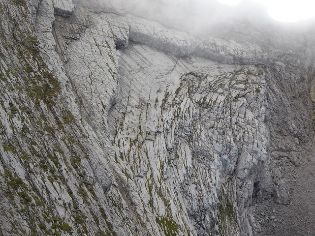
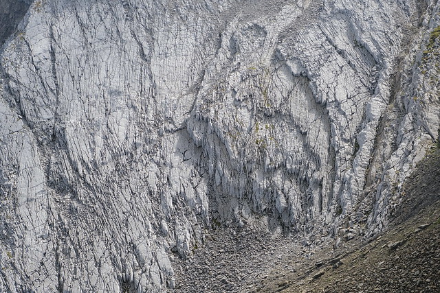
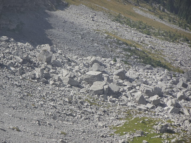
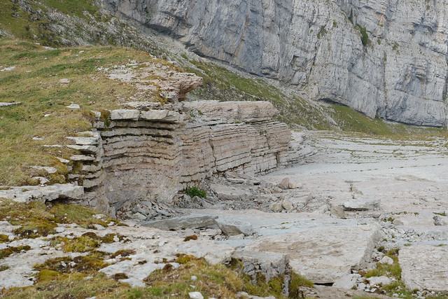
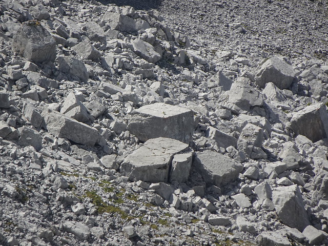
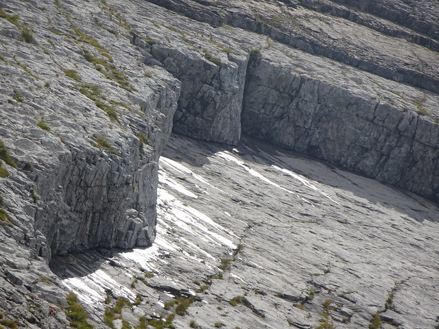
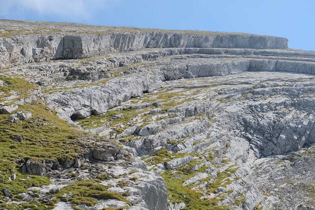
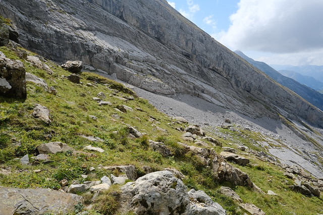
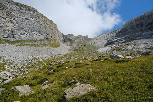
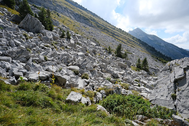
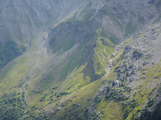
▲ Stones in Combe de Borderan.
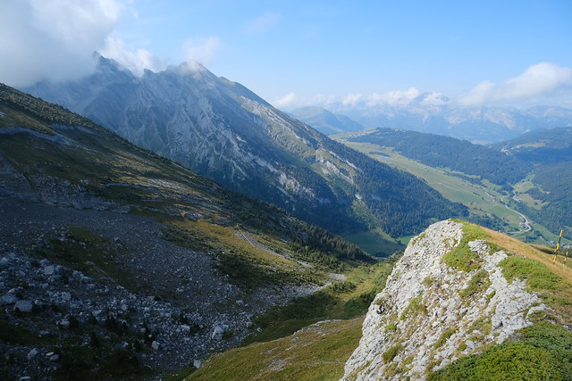
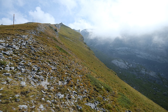
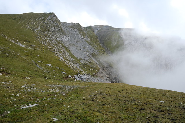
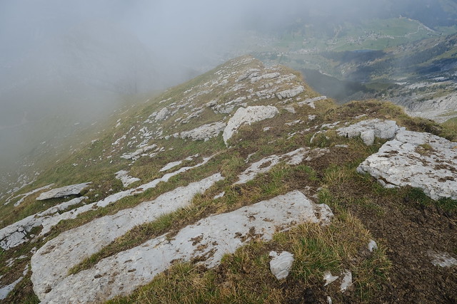
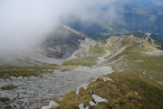
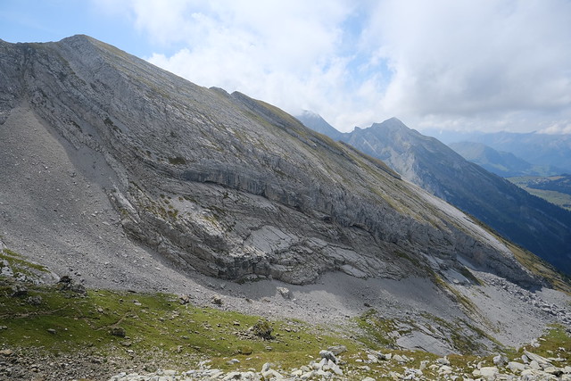
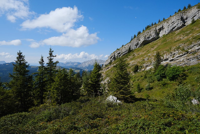
▲ Overlooking Combe de Borderan.
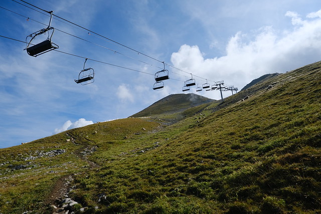
▲ Upper station of Télésiège du Crêt du Loup.
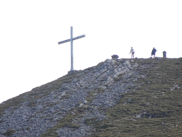
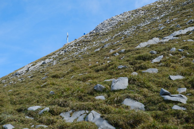
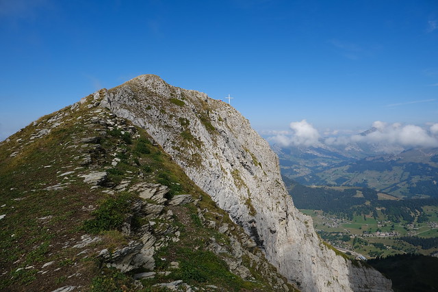
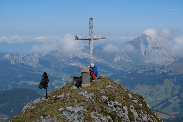
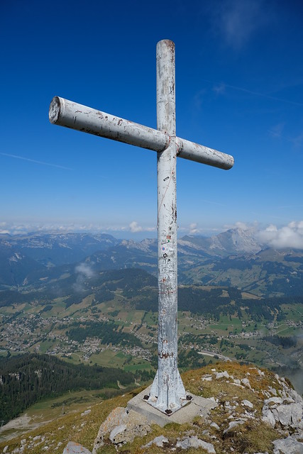
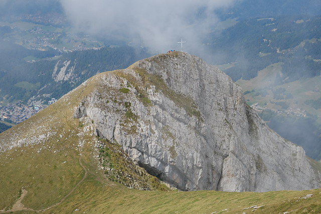
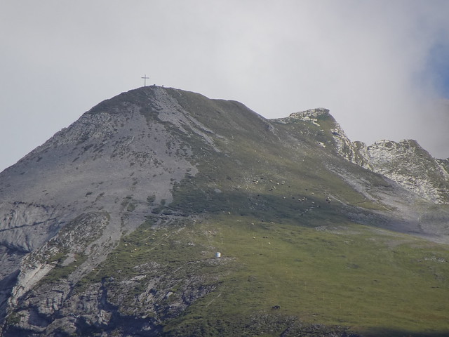
▲ Large cross at the summit of Aiguille des Calvaires.
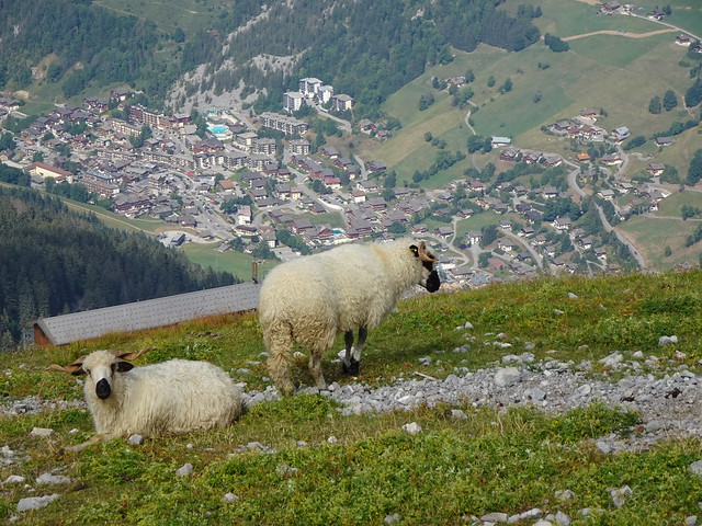
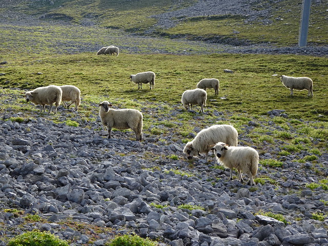
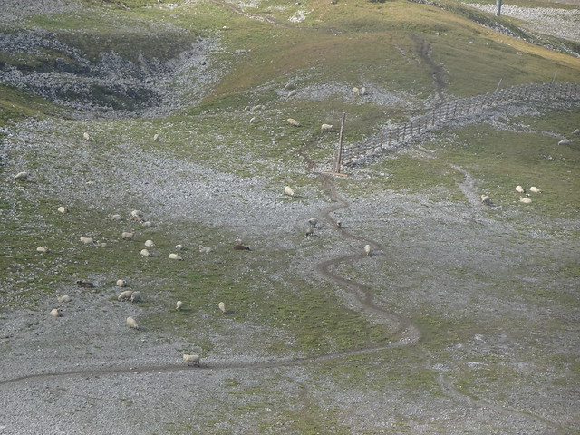
▲ Thônes-et-Marthod sheep.
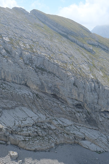
▲ Below the summit.
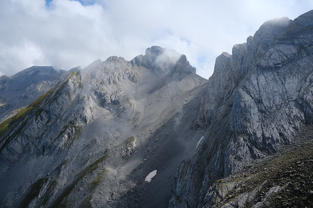
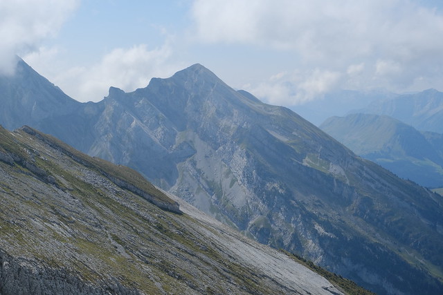
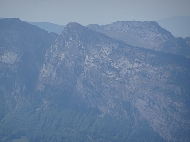
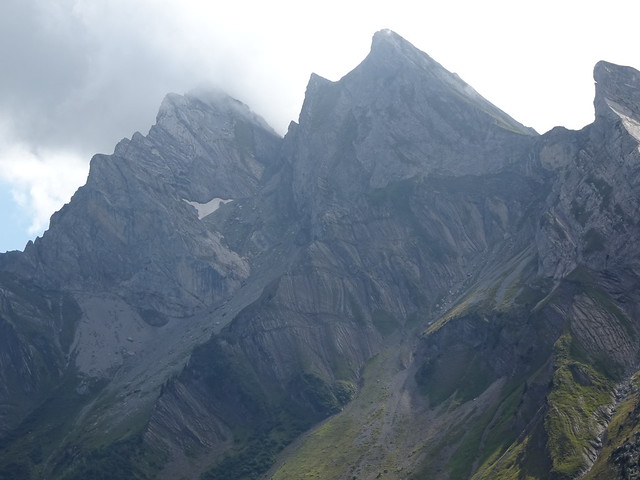
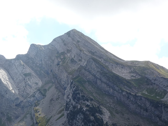
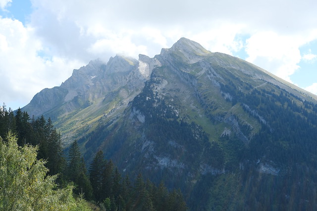
▲ Aiguille de Borderan.
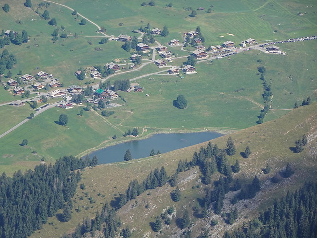
▲ Lac des Confins.
▲ La Roualle.
▲ Summit of Aiguille des Calvaires.
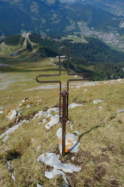
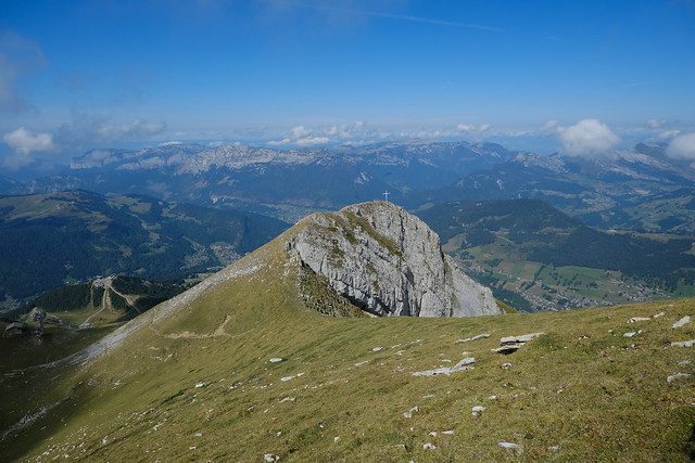
▲ Small cross.
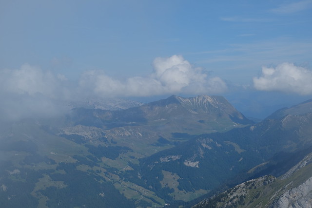
▲ Tête du Danay and Bornes mountains.
▲ Mont Lachat de Thônes.
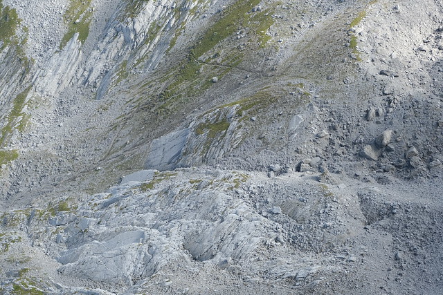
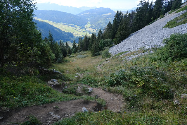
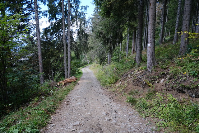
▲ The trail below.
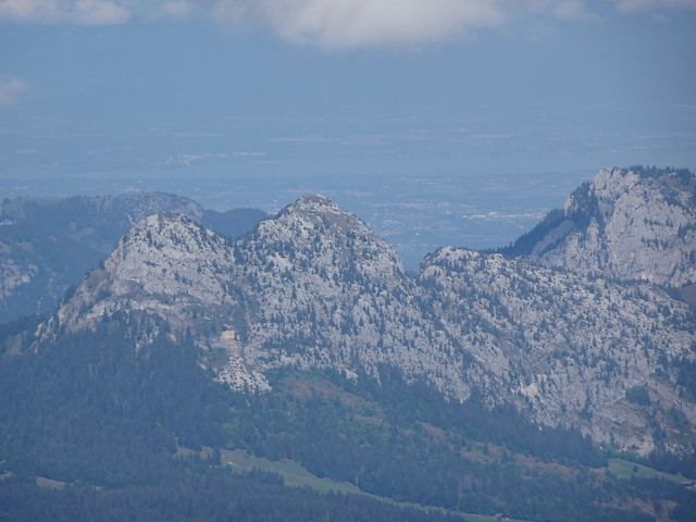
▲ Roc de Charmieux, with Lake Geneva (Lac Léman) in the background.
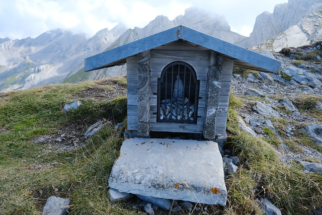
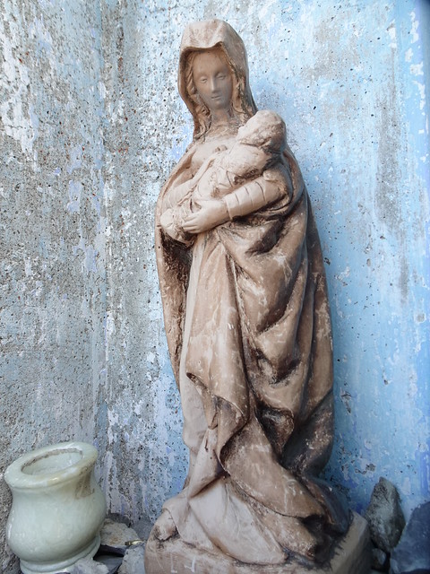
▲ Shrine.
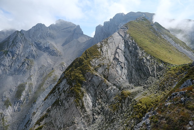
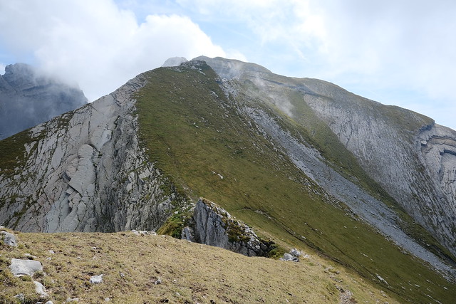
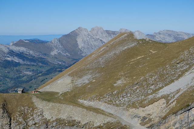
▲ Porte des Aravis and Aiguille de Borderan. The grassy peak in the foreground is accessible and this is where I went after this.
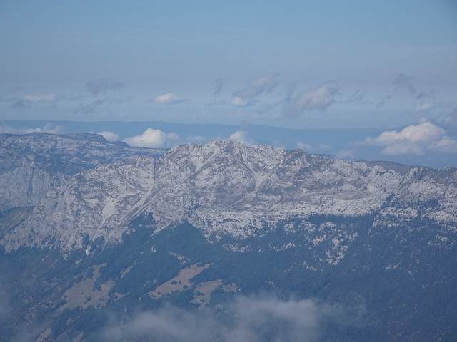
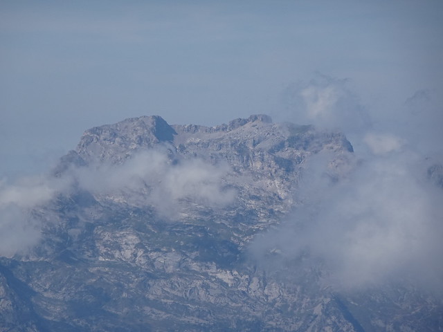
▲ La Tournette.
▲ La Tournette.
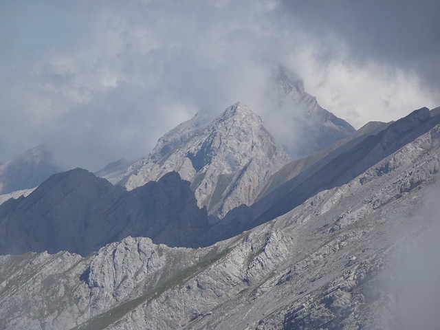
▲ Pic de Jallouvre and Pointe Blanche.
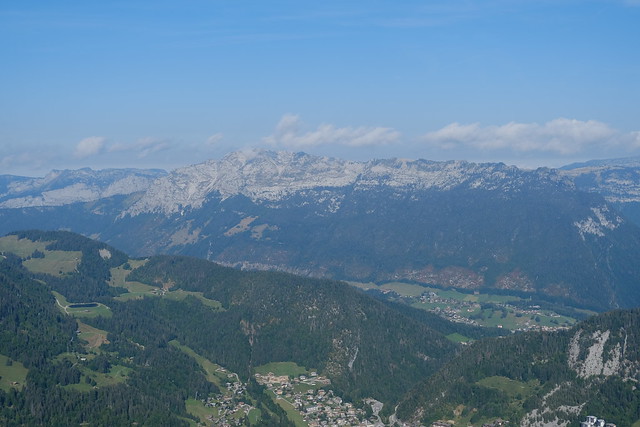
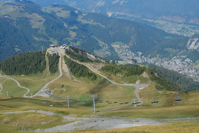
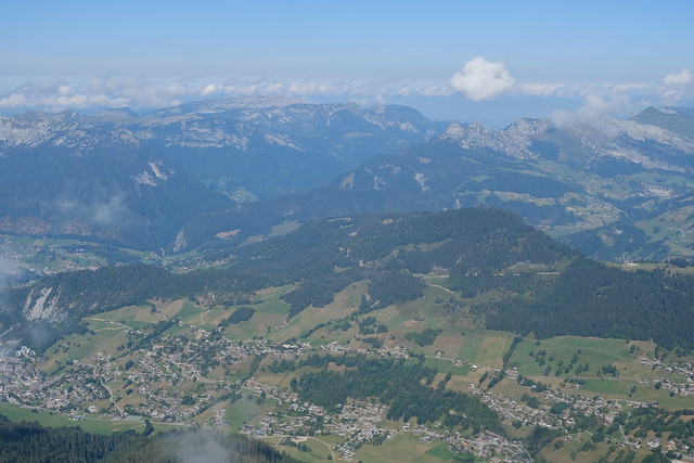
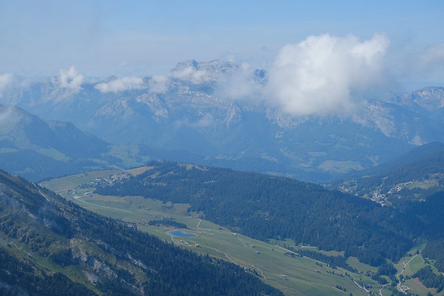
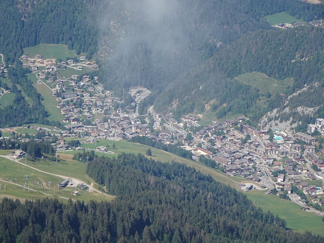
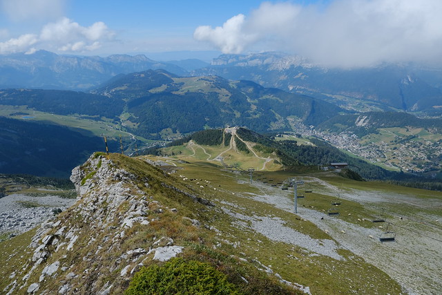
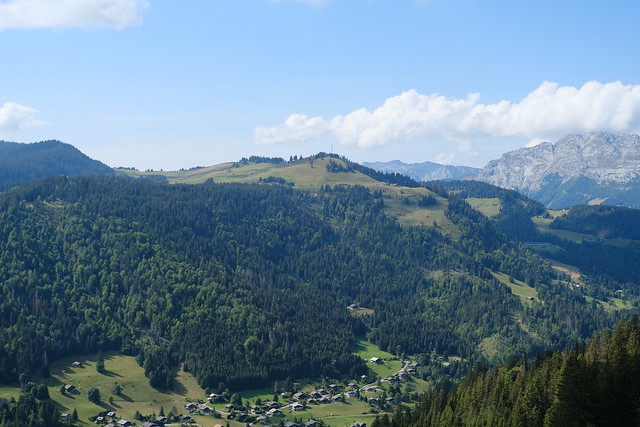
▲ La Clusaz below.
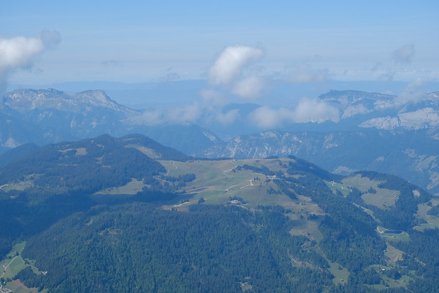
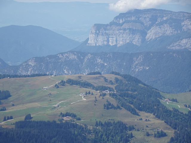
▲ Plateau de Beauregard.
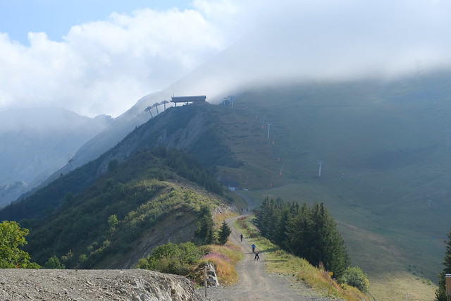
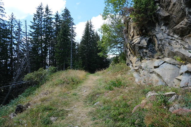
▲ The path from Crêt du Loup.
▲ The big cross.
▲ Porte des Aravis. There is a trail from this side and the other as well (coming from Col des Aravis).
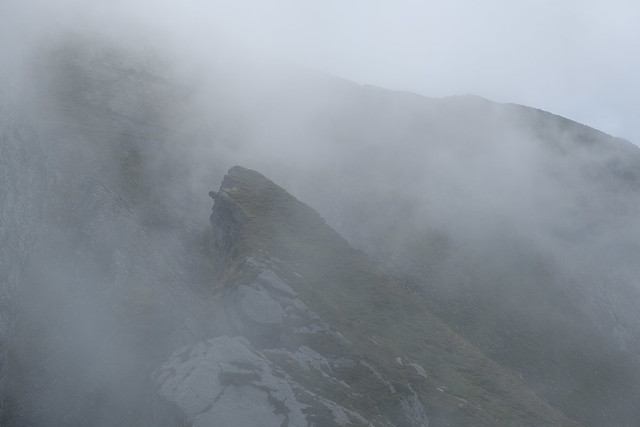
▲ On the way to the second (unnamed) summit.
▲ Looking back at Aiguille des Calvaires.
▲ Les Parossaz.
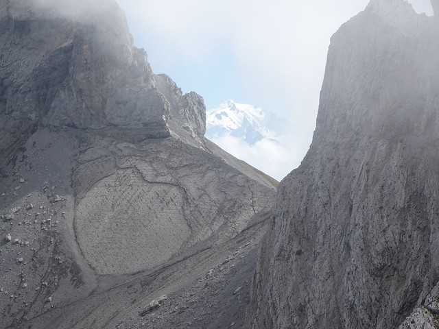
▲ Mont Blanc seen through Porte des Aravis.
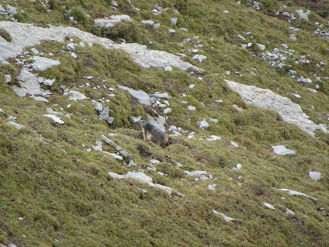
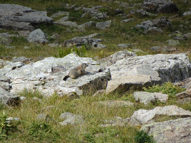
▲ Groundhog. I saw just a few but heard many.
▲ Aiguille de Borderan.
▲ Pointe de Grand Combe and Pointe d’Almet.
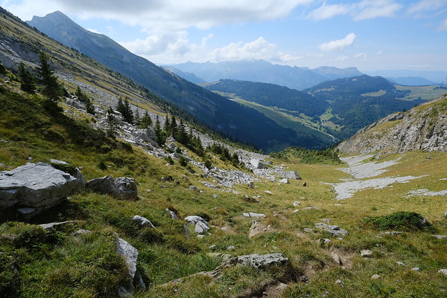
▲ On the way down,
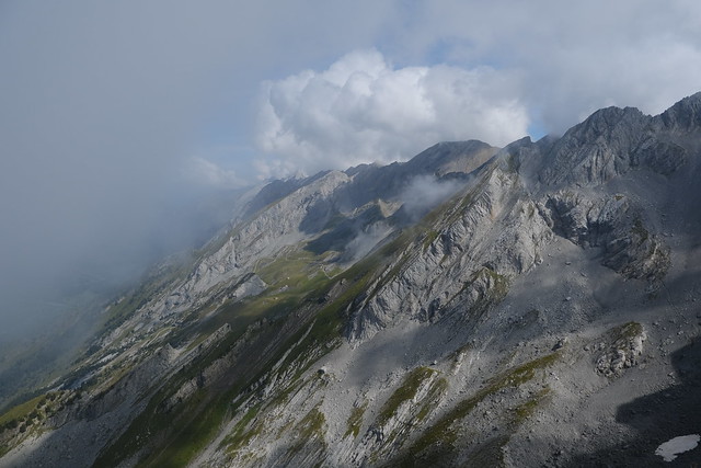
▲ Pointe Percée in the clouds.
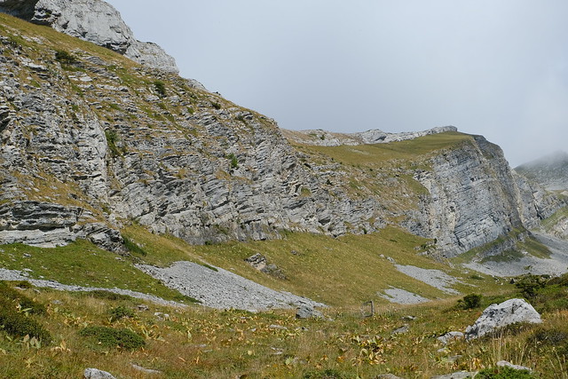
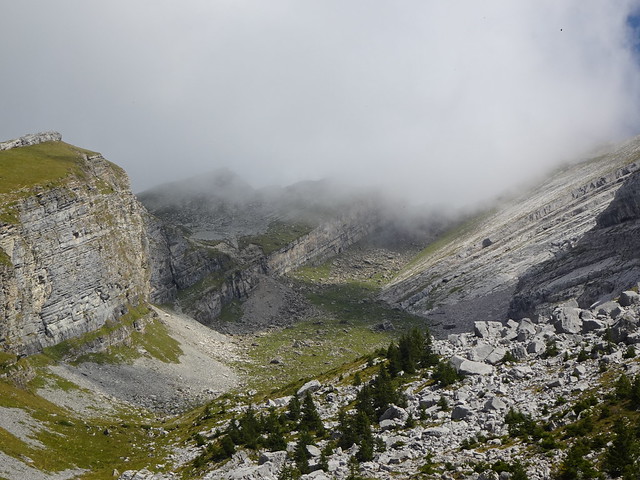
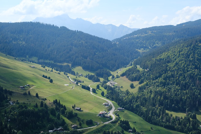
▲ Combe de Borderan.
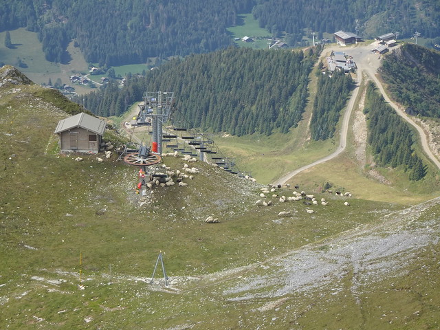
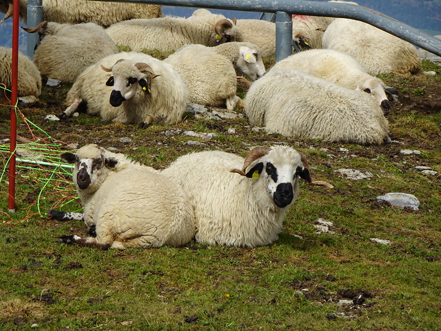
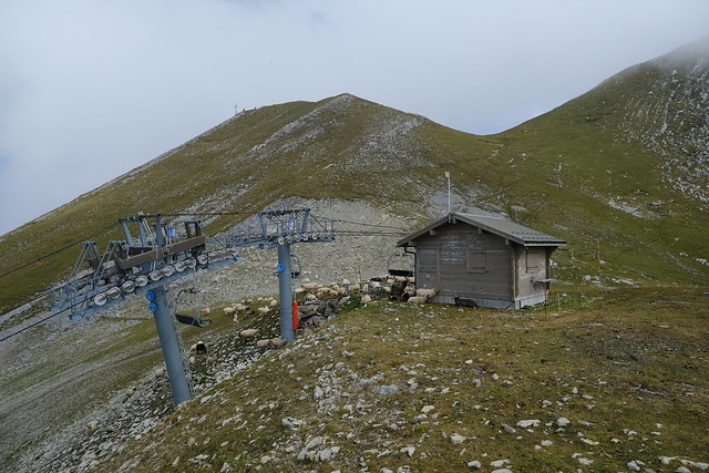
▲ Sheep clustering around the chairlift station.
▲ Pointe de Merdassier.
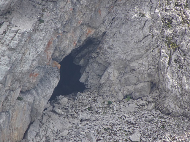
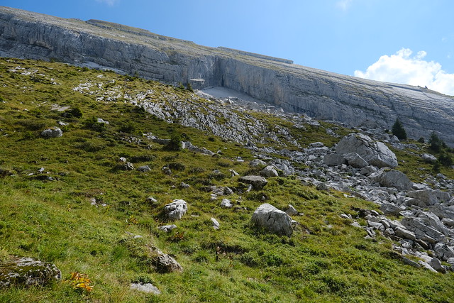
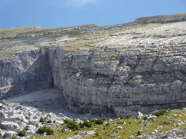
▲ Grotte de l’Église des Fées. I wanted to check it out while I was passing through Combe de Borderan, but the way there is very steep.
▲ Pointe des Aravis. I went there later that year: It was a very interesting path. Here are some photos.
▲ Aiguille des Calvaires seen from the summit of Pointe des Aravis.
▲ Pointe des Aravis and Combe de Borderan,
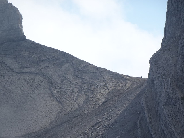
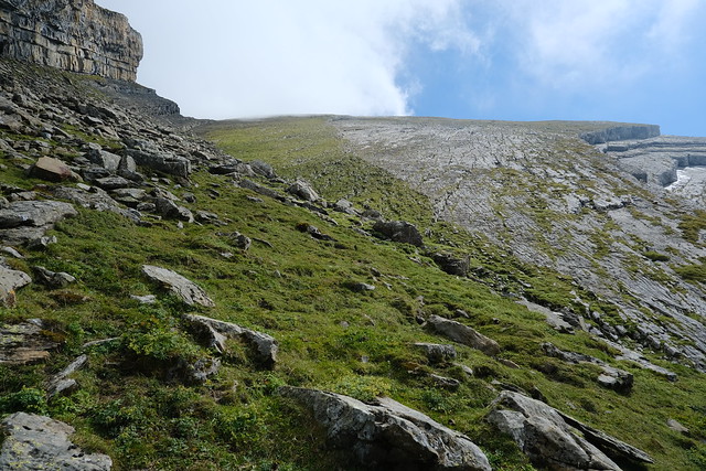
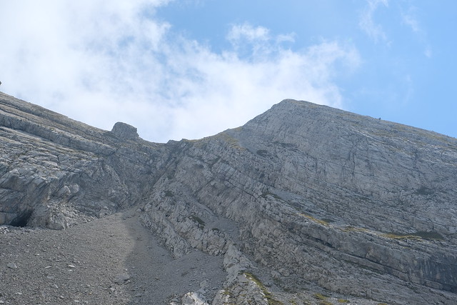
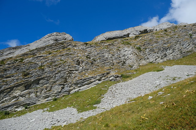
▲ Looking up to Aiguille des Calvaires. Apparently, there is a way to the summit through there (another way is to go through Pointe des Aravis).
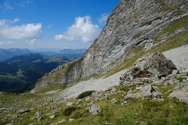
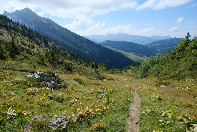
▲ In Combe de Borderan.
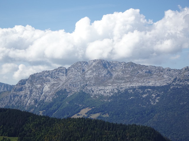
▲ Rocher de Belchamp.
▲ Another groundhog (marmotte).
▲ Pointe de Beauregard, with Mont Téret in the background.
▲ Grotte de l’Église des Fée and Pointe des Aravis.
▲ Nearby, there is a path to the exit of the Via Ferrata du Col des Aravis, which is also the start of the path to Pointe des Aravis.
▲ L’Étale.
▲ Pointe de Merdassier, on the other side of Col des Aravis.
▲ Pointe de Beauregard.
▲ Towards Col de la Croix Fry.
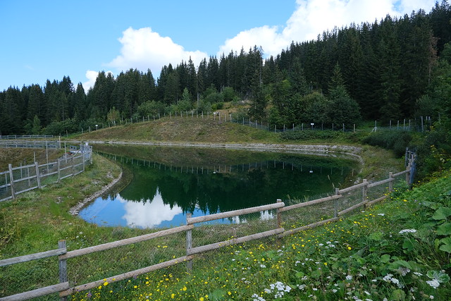
▲ Retenue du Merle.
▲ Mont Lachat de Thônes.
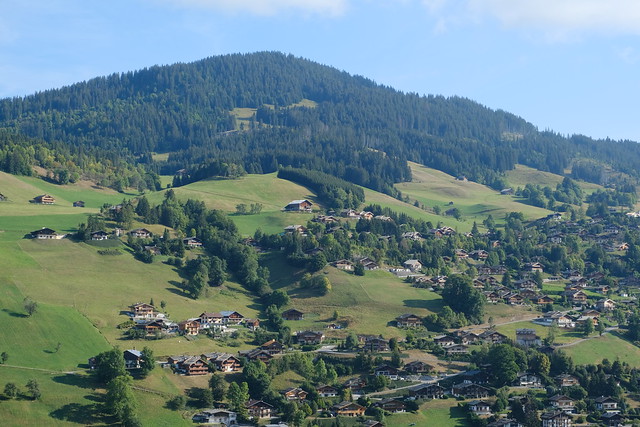
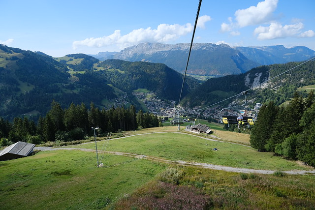
▲ On Télésiège du Crêt du Merle down to the village of La Clusaz.
▲ Cows on Champ Guiguet.
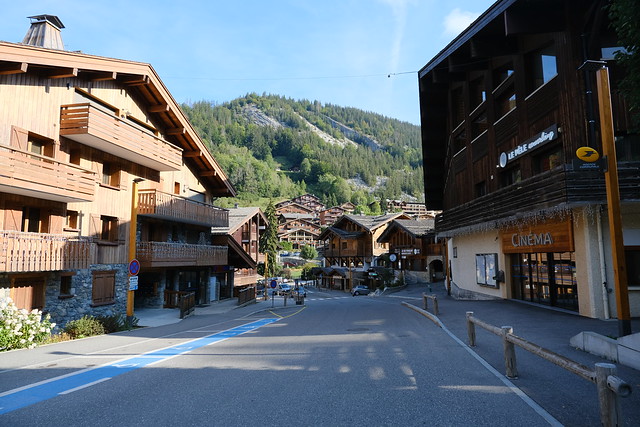
▲ In the village.
▲ Looking at Aiguille des Calvaires from the bus station.
