Hike along the Allondon river (Geneva)
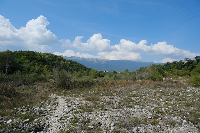
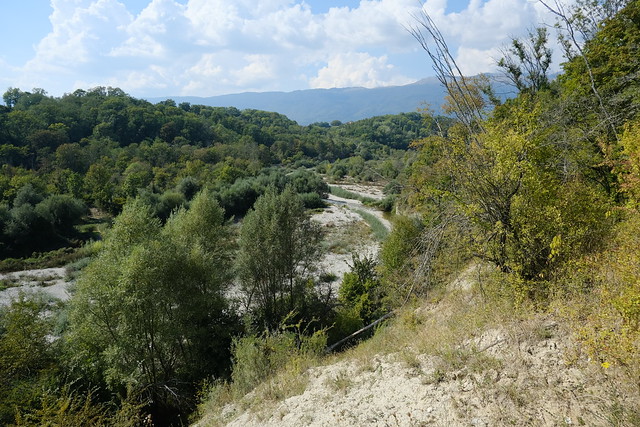
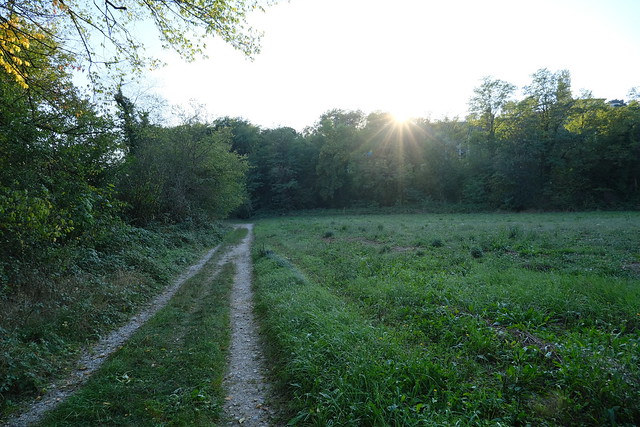
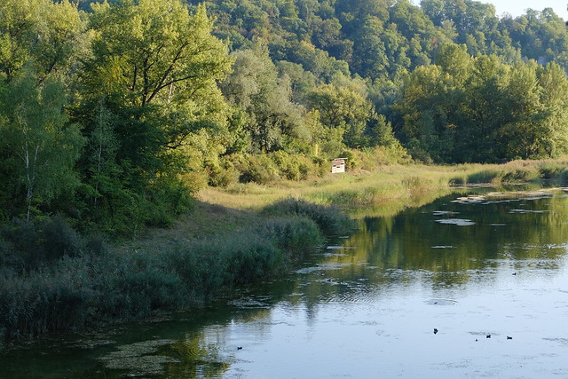
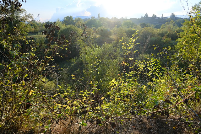
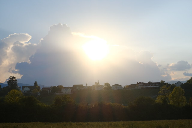
At the end of the summer of 2020, I went on a hike in Geneva, following the Swiss part of the Allondon river until its confluence with the Rhône. The river starts in Pays de Gex (France) below the Jura mountains. I visited its source many years ago.
Here is an official brochure (PDF) about the Allondon river.
Here is a map of the path I walked:
- Download path KML
- Download photo KML
- Download large map
- More photos on Flickr
- Day of the hike: September 15th, 2020
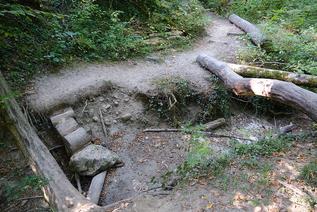
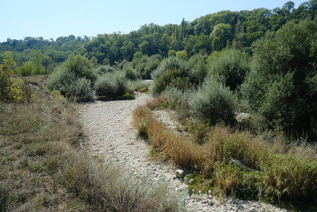
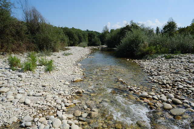
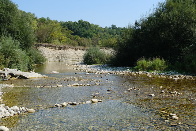
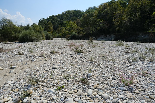
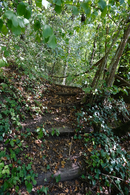
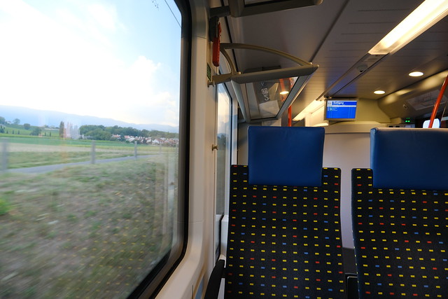
In the morning, I took a Léman Express train to Satigny, on the west side of Geneva. I starting walking towards Moulin Fabry and the border with France. A trail along the Allondon river on the Geneva side starts from there. However, that trail was officially closed since a few pedestrian bridges to cross small streams were missing (and “soon” to be rebuilt, since 2017…): I have just checked and it is still marked as closed on the official hiking map of Switzerland. However, I had read it was passable as long as there was little water: When I went on the hike, the water level of the Allondon was indeed very low and the small streams that needed to be crossed were all completely dry so, in the end, I could walk the trail without issue.
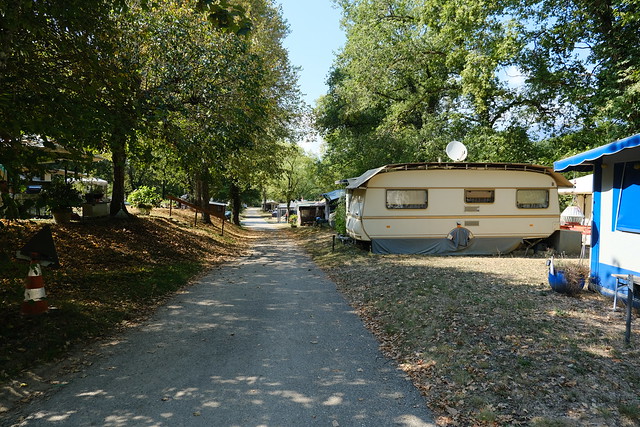
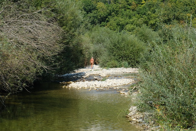
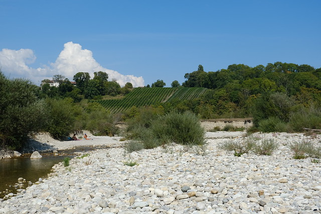
After a while, I arrived at Camping du Val de l’Allondon, a trailer park. At that point, both sides of the Allondon were in Geneva. There was a choice of trail: I walked on the left bank for a while and arrived in Russin. I kept walking on the left bank in a place called Vallon de l’Allondon. I saw many naked men there, a true sausage festival: Apparently, it is a popular place for naturists in Geneva. At some point, the trail was blocked: I should have forded the river and walk on the path on the right bank but I knew of an old trail that passed on the left bank but was destroyed by a landslide a few years ago. Because it was so dry, the trail was passable but barely. It was a bit dangerous actually and I don’t recommend passing through there.
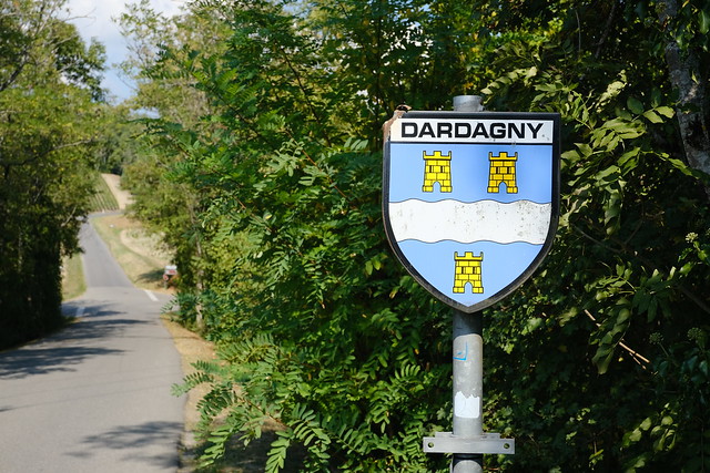
After that part, I went up to the village of Russin using the paved road, then went down again to the Allondon and crossed it on Viaduc de l’Allondon in order to reach La Plaine in Dardagny. I then walked on the right bank until the confluence of the Allondon with the Rhône. Finally, I crossed the river one last time and walked in Teppes de Verbois (a nature reserve) in order to reach the Russin train station, where I waited for the train back to the center of Geneva.
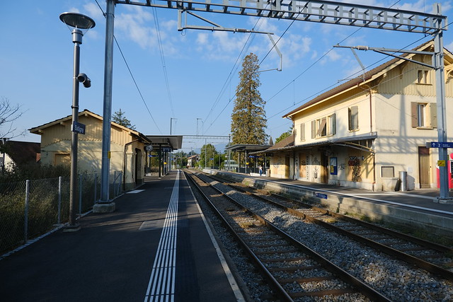
▲ Satigny train station.
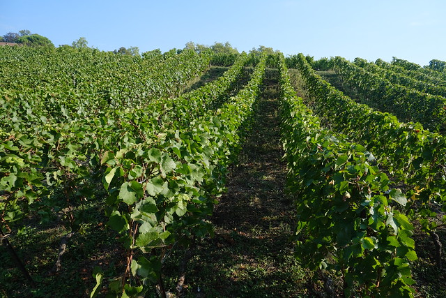
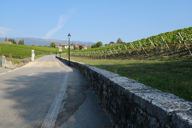
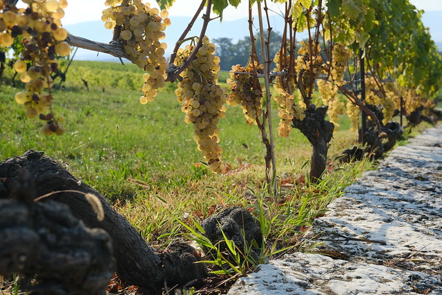
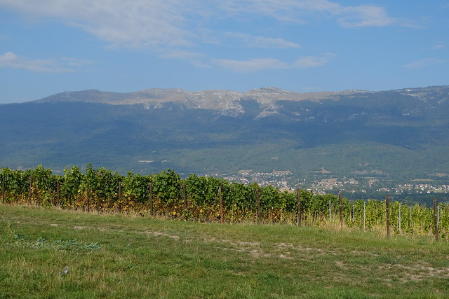
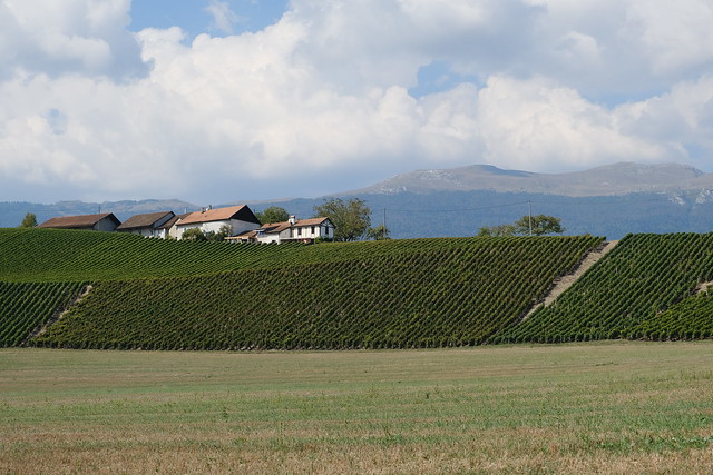
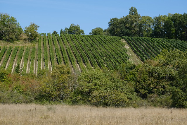
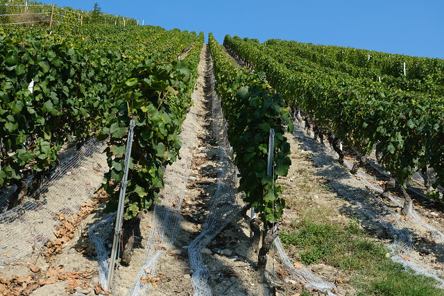
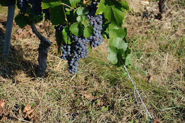
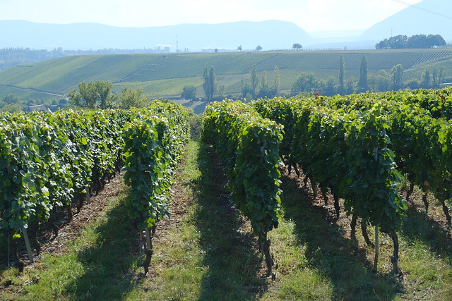
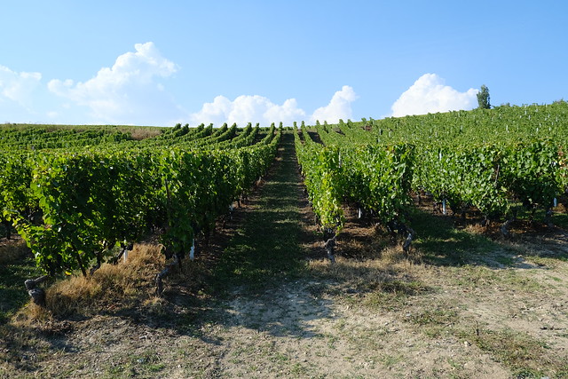
▲ Vineyard.
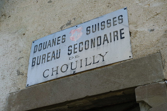
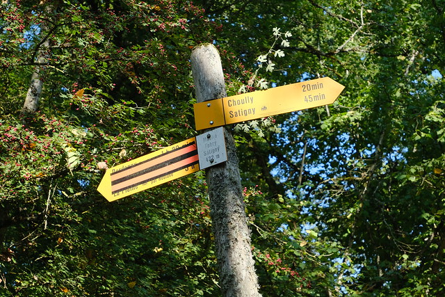
▲ Customs office in the hamlet of Chouilly (aka Choully).
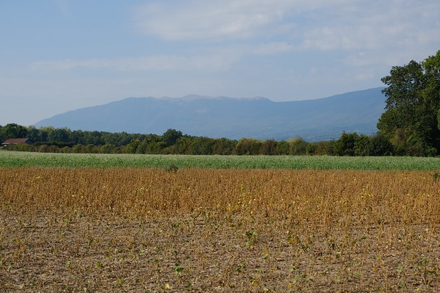
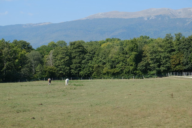
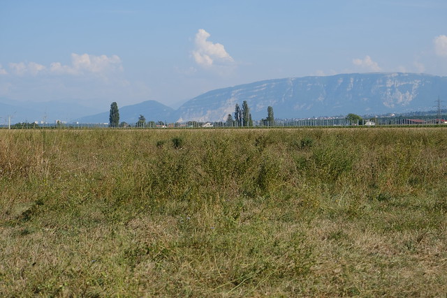
▲ Crêt de la Neige.
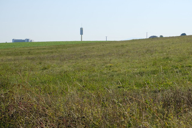
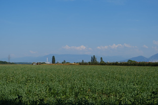
▲ Water tower of CERN.
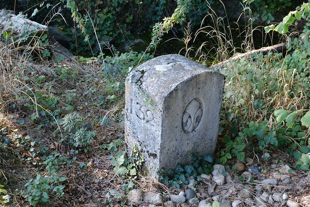
▲ Border stone. Form there, I walked along Nant de l’Ecra, which serves as the border with France until its confluence with the Allondon.
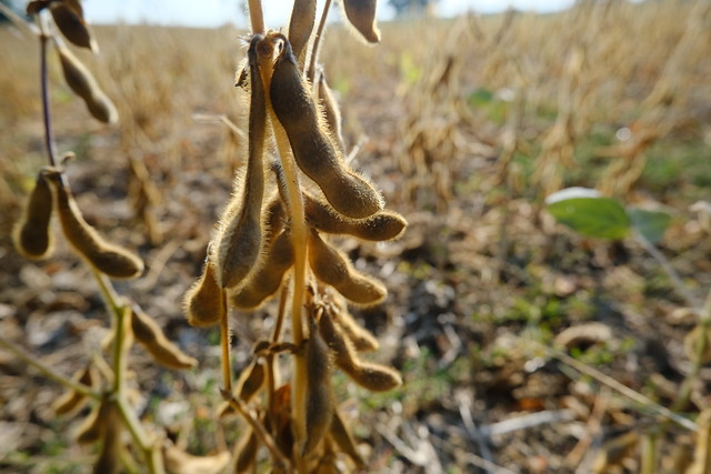
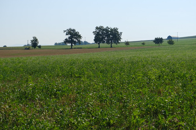
▲ Soy beans.
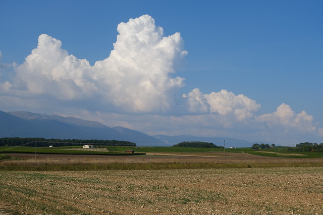
▲ Grand Crêt d’Eau in the distance.
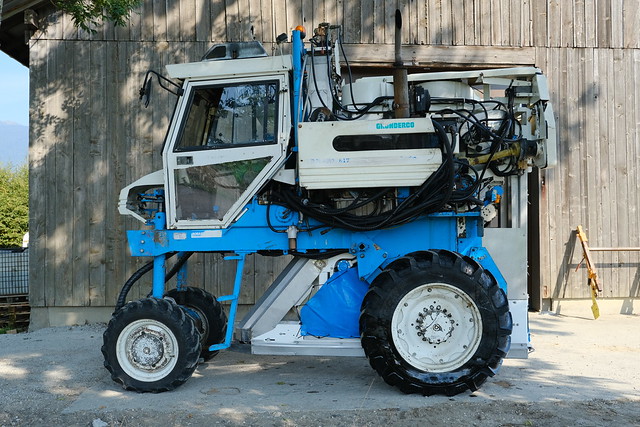
▲ Machine for vineyard management.
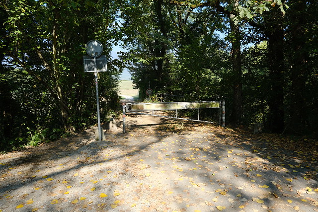
▲ Border gate at a bridge across the Allondon.
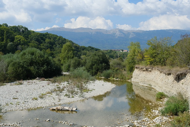
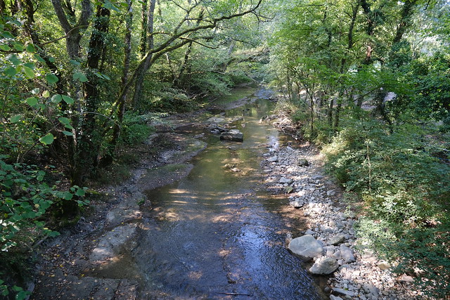
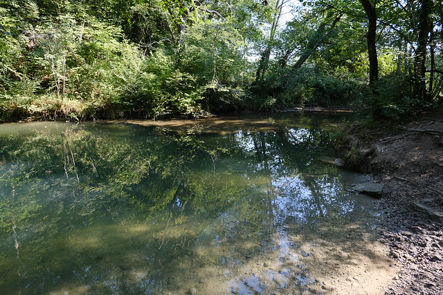
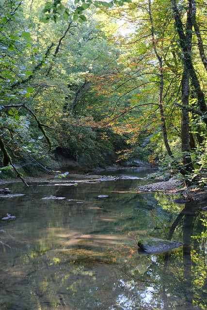
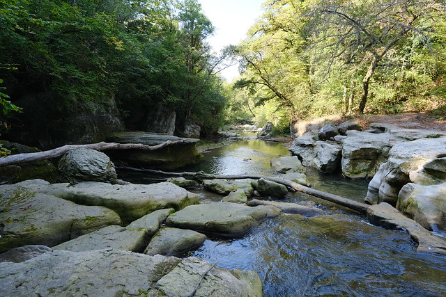
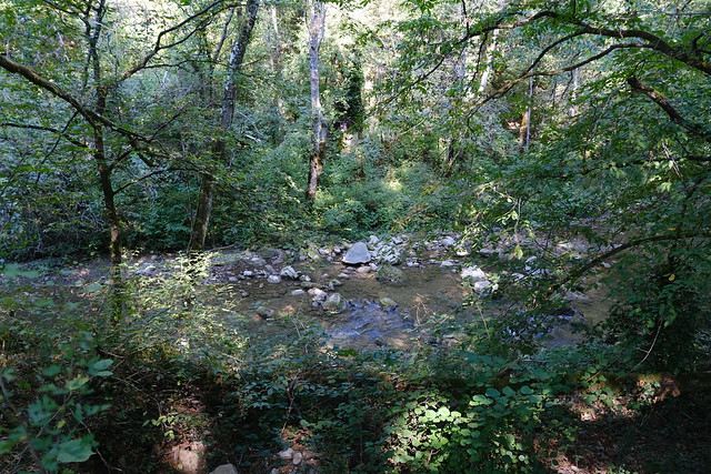
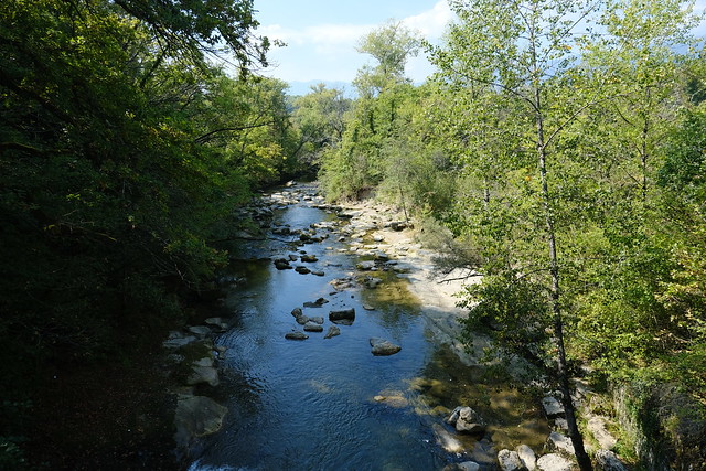
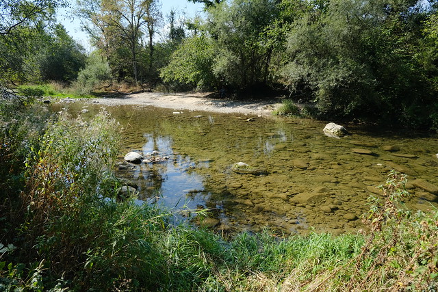
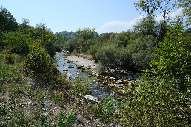
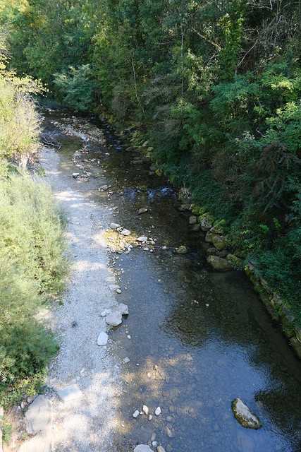
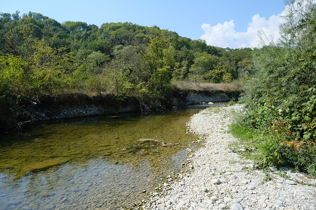
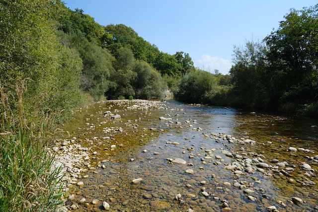
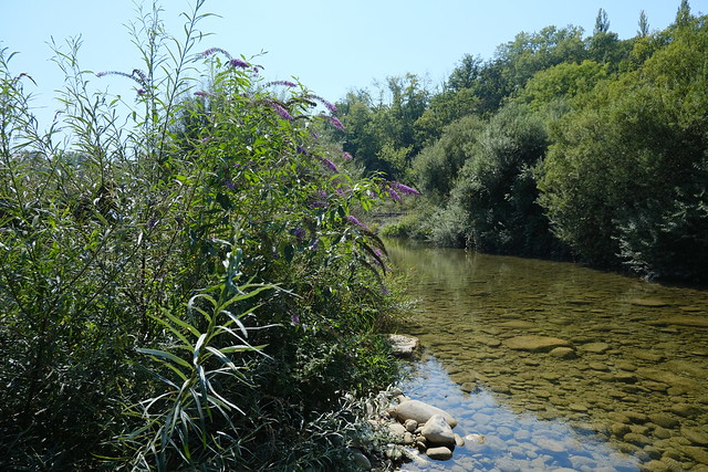
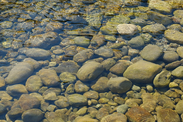
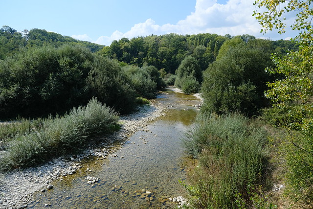
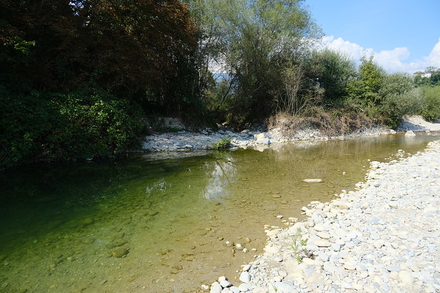
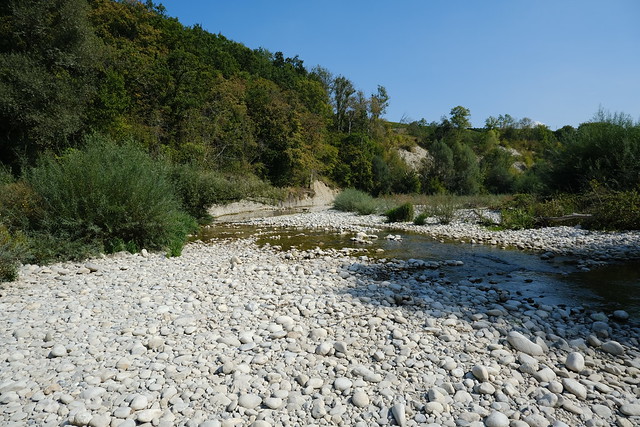
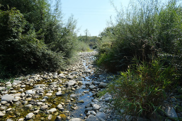
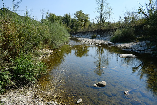
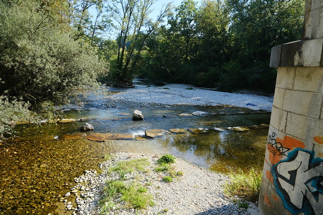
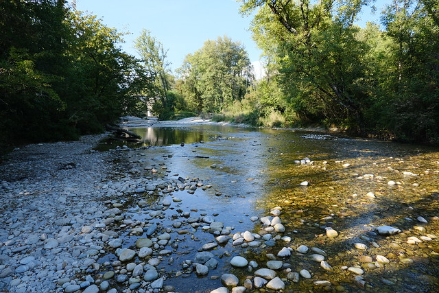
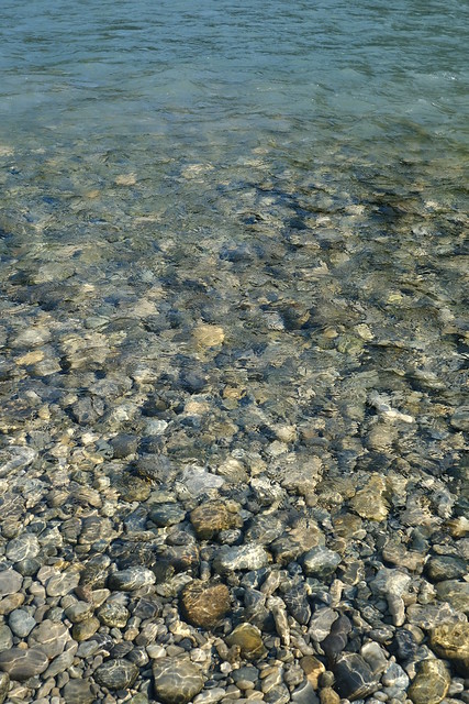
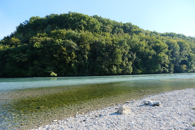
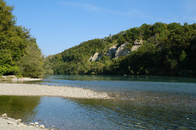
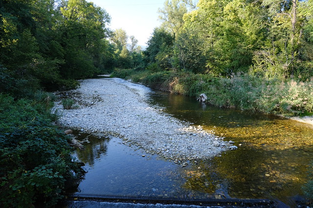
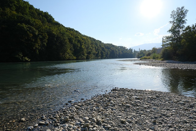
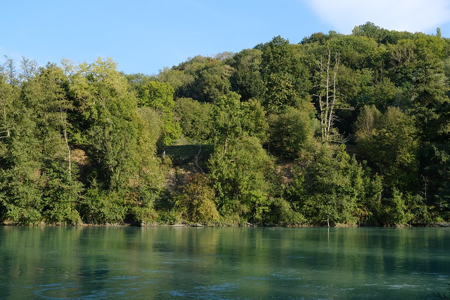
▲ Allondon. The water level was very low.
▲ On the French side.
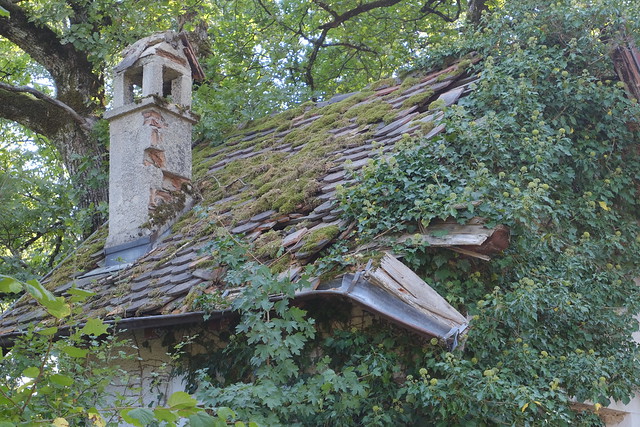
▲ Crumbling French customs office.
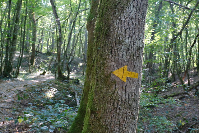
▲ The trail direction has been crossed.
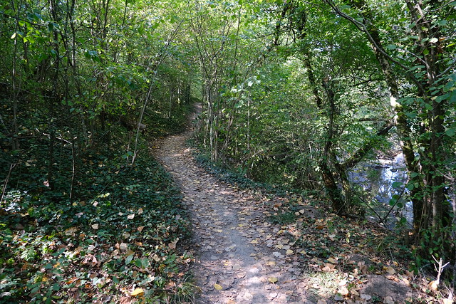
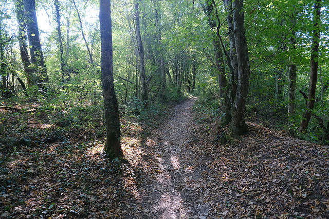
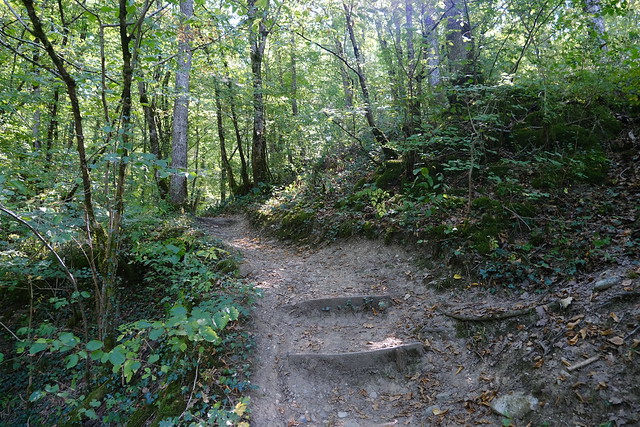
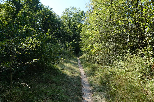
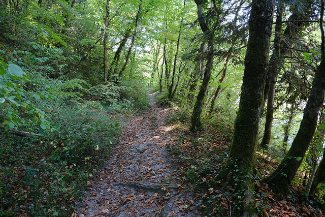
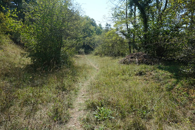
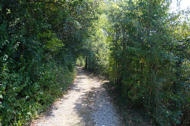
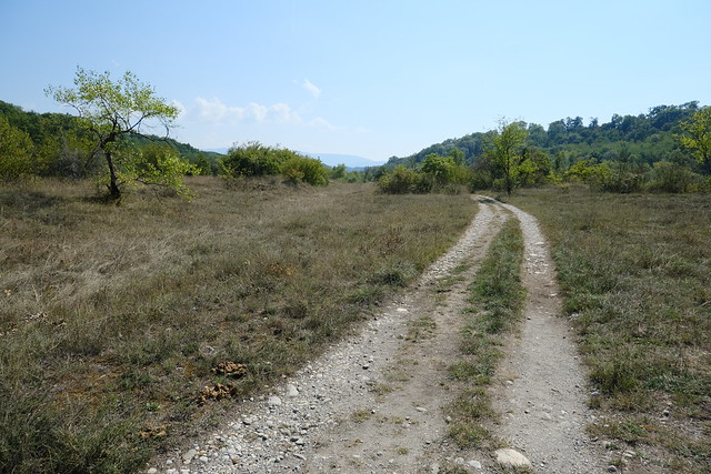
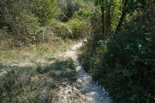
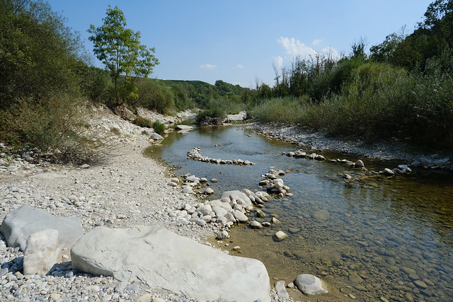
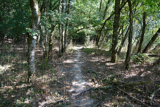
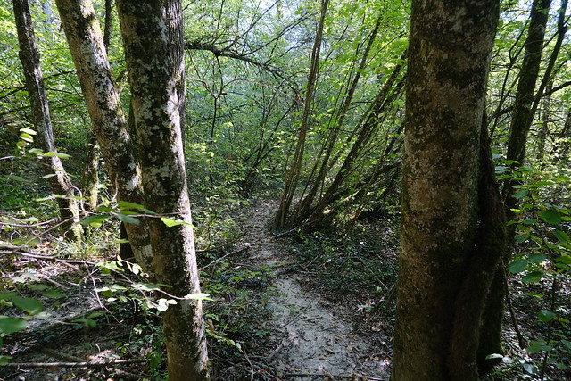
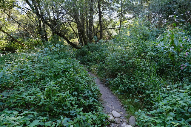
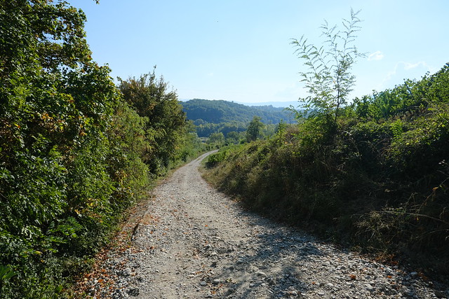
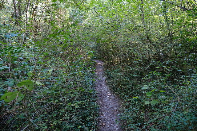
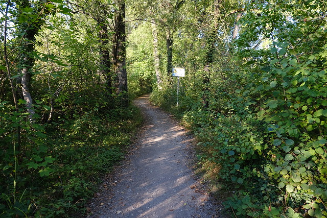
▲ Trail along the Allondon.
▲ One of the small streams with a missing bridge.
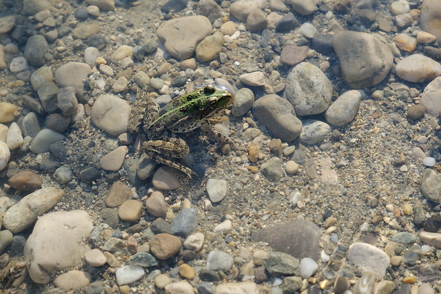
▲ Small frog.
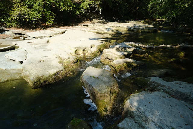
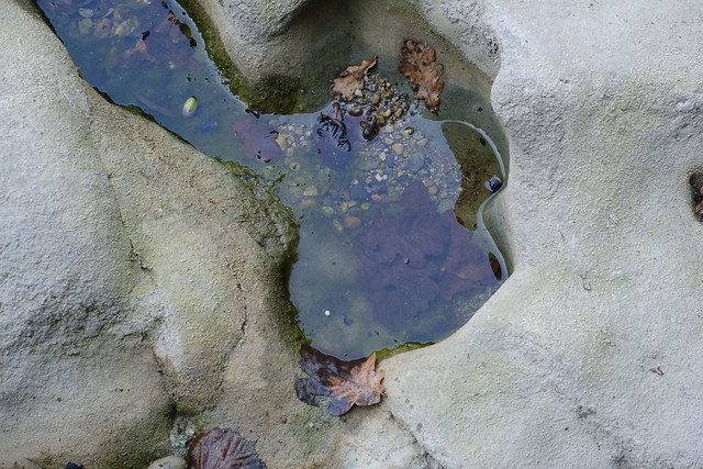
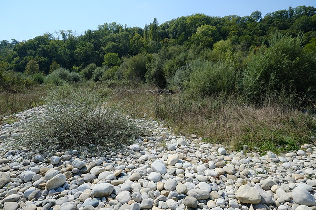
▲ Detour to have a look at the rocks. They are usually under water.
▲ Camping du Val de l’Allondon.
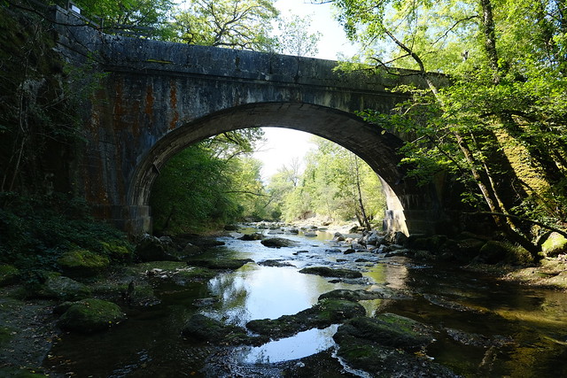
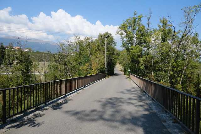
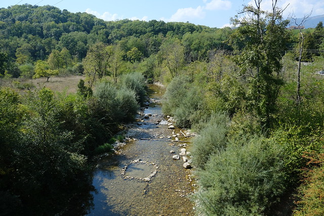
▲ Allondon from a bridge to Dardagny (Pont des Granges).
▲ Still on the left bank.
▲ Another bridge to Dardagny (Pont des Baillets).
▲ I crossed into Dardagny to have a look at Chapelle de Malval.
▲ Vineyard.
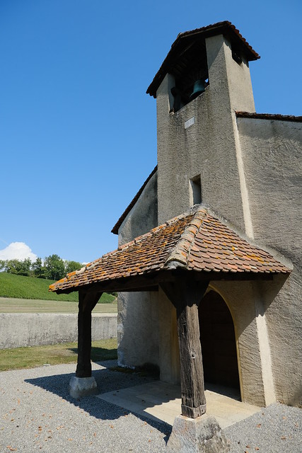
▲ Chapelle de Malval. It is one of the oldest religious buildings in Geneva.
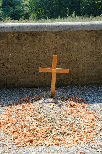
▲ Cemetery near the chapel.
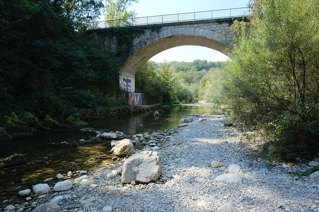
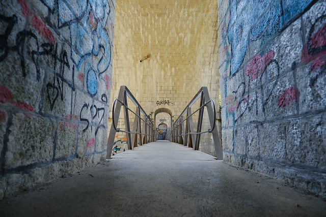
▲ I made a detour below the bridge.
▲ Crossing the bridge again, on the way to Vallon de l’Allondon. There is also a trail on the right bank (Dardagny side).
▲ Naturist.
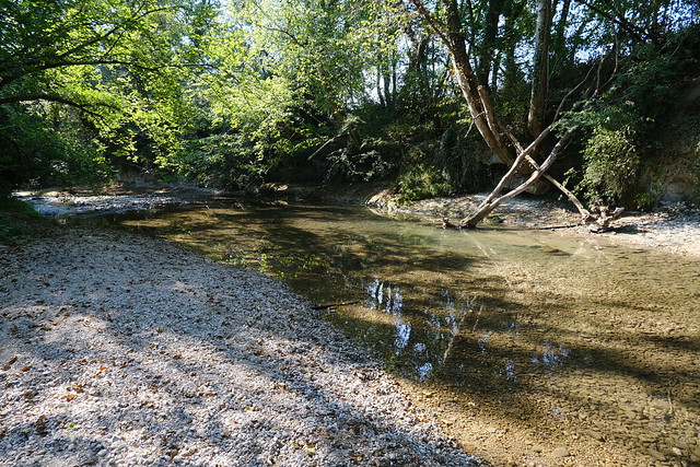
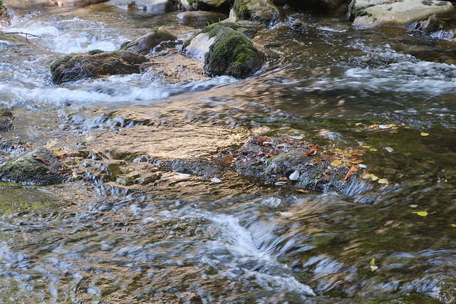
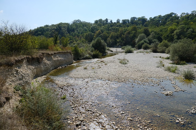
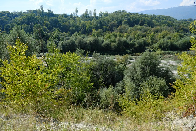
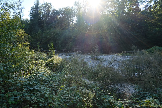
▲ Low water.
▲ Vineyard.
▲ Confluence of the Roulave stream and the Allondon.
▲ From there, it was no longer possible to keep walking on the bank of the river.
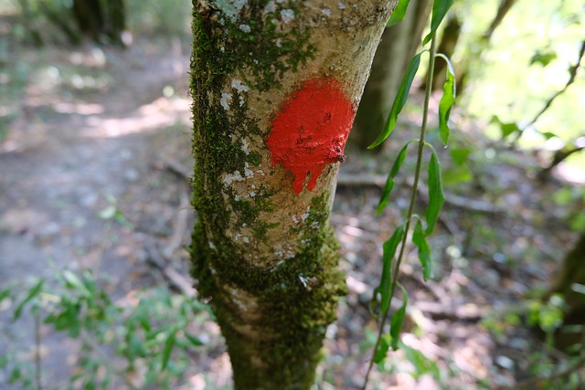
▲ Paint mark of the old trail.
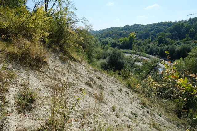
▲ Landslide. It was quite dangerous.
▲ Vallond de l’Allondon below.
▲ Trail on the other side.
▲ I tried to find another trail to continue on the left bank but it was not possible.
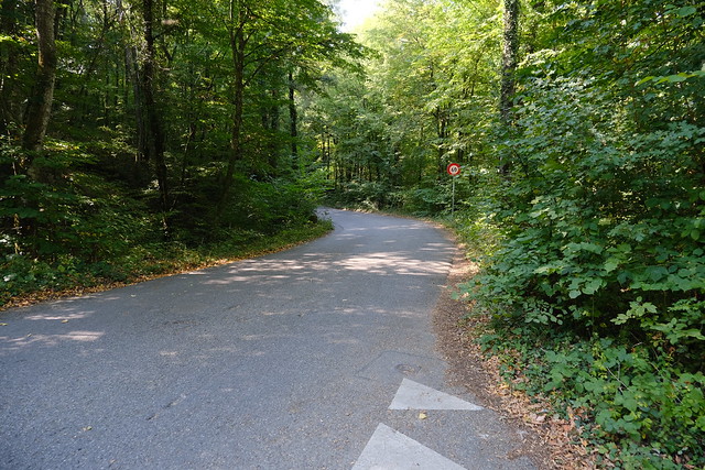
▲ I used the paved road to go up.
▲ Salève.
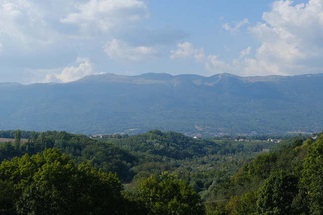
▲ Montagne des Voirons in the distance.
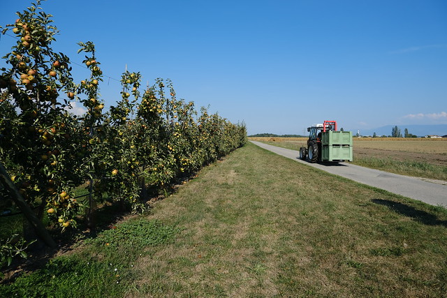
▲ Orchard.
▲ Vineyard.
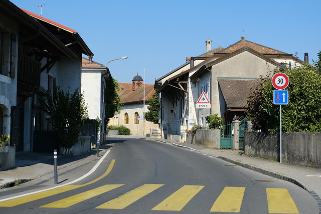
▲ In Russin.
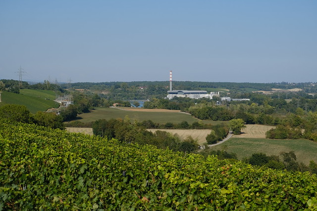
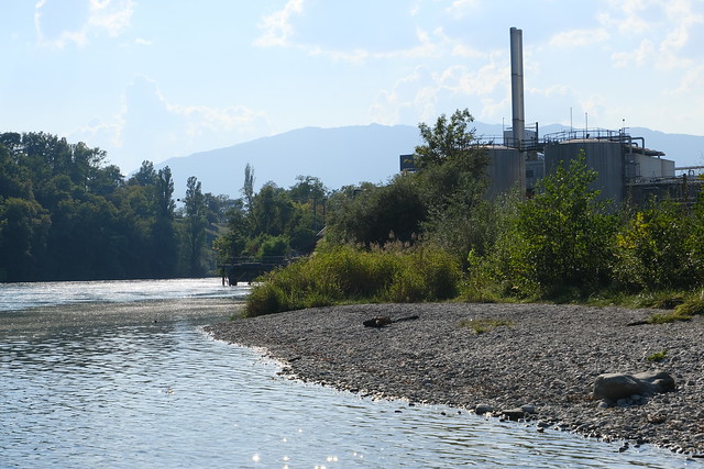
▲ Waste burning plant (UIOM des Cheneviers).
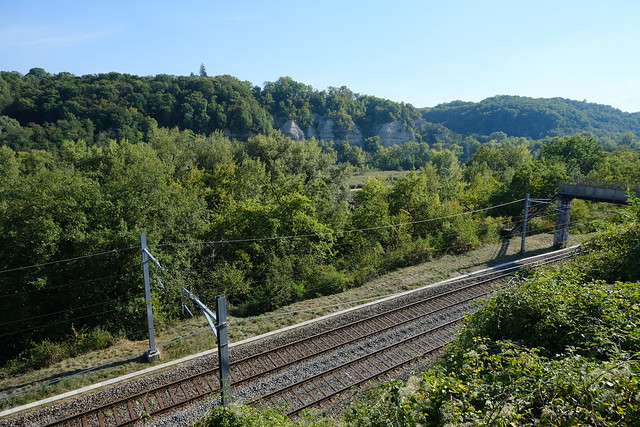
▲ Train tracks.
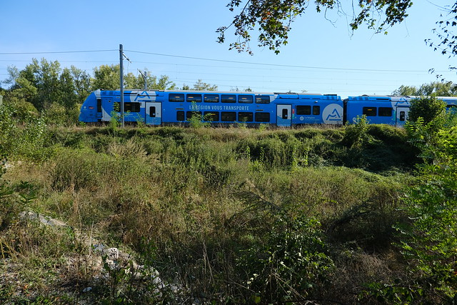
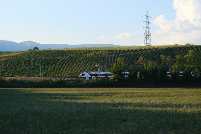
▲ French train to Geneva.
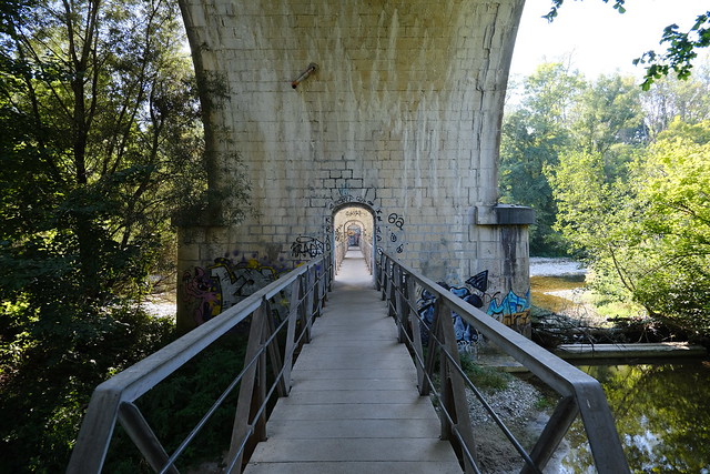
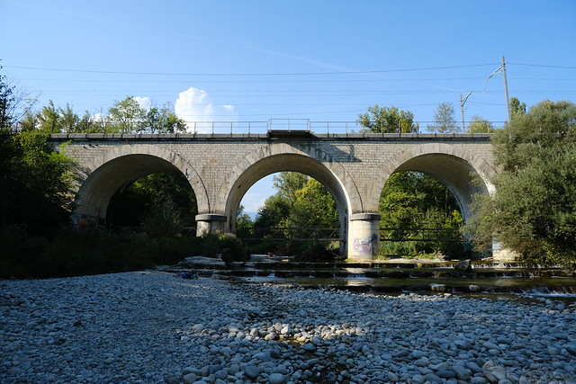
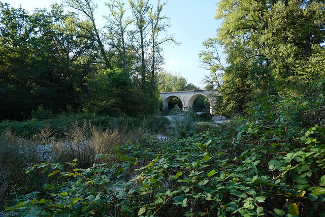
▲ Viaduc de l’Allondon.
▲ In the middle of the river.
▲ Path on the right bank in Dardagny.
▲ At the confluence with the Rhône.
▲ Firmenich factory.
▲ Small frog.
▲ Confluence.
▲ Crossing the Allondon for the final time.
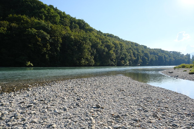
▲ Confluence with the Rhône seen from the left bank of the Allondon.
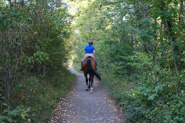
▲ Horse rider in Teppes de Verbois. In that direction lies the Barrage de Verbois (Verbois Dam).
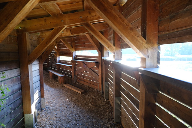
▲ Bird observation hut.
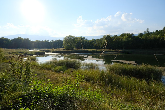
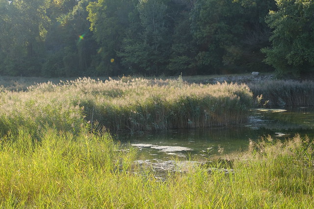
▲ Pond.
▲ Réserve Naturelle du Moulin de Vert on the other side of the Rhône.
▲ On the way to the Russin train station.
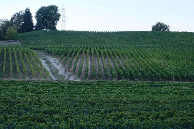
▲ Vineyard seen from the train station.
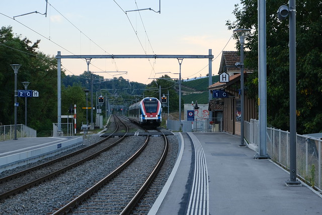
▲ Russin train station.
▲ On the Léman Express train.
