Hike to Mont Trélod & Dent des Portes
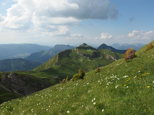
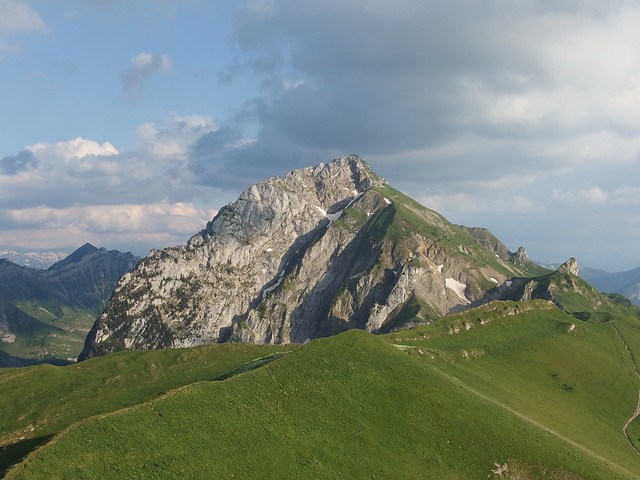
At 2,181m, Mont Trélod is the 4th highest peak of the Bauges Massif. The trail I followed is a mix of this one (from Montgellaz to Chalet du Golet) and this one (from the chalet to the summit of Mont Trélod).
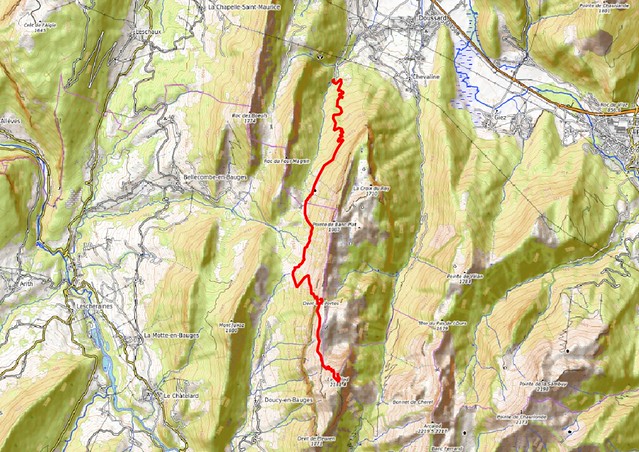
Here is a map of the path I walked (download KML):
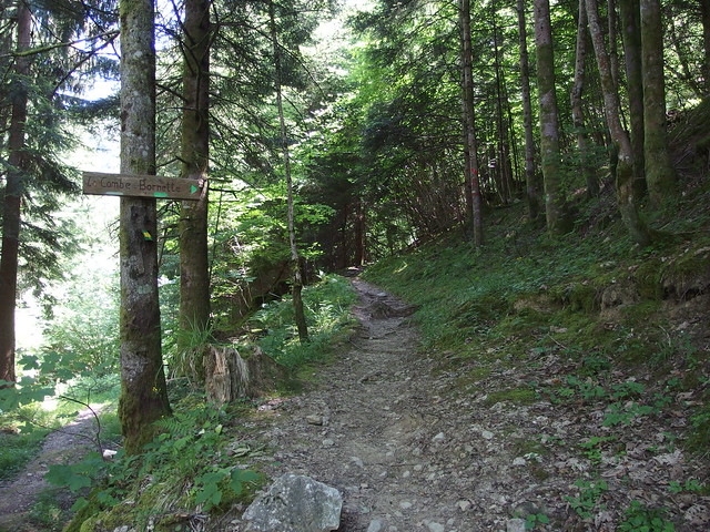
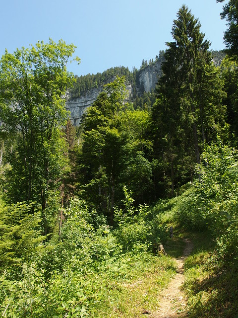
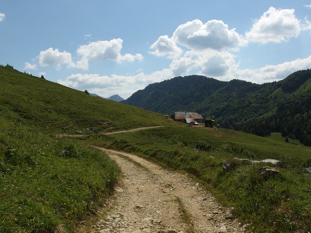
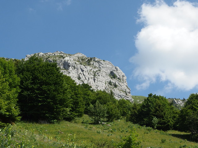
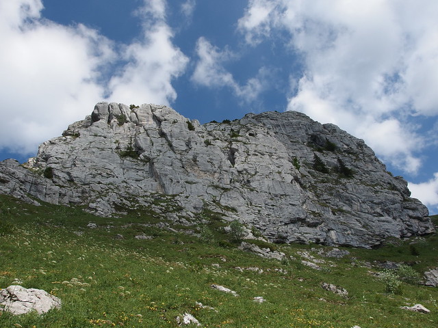
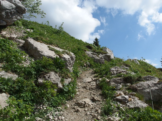
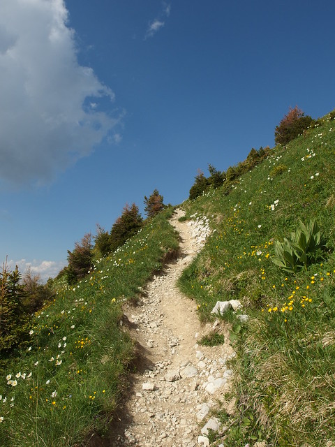
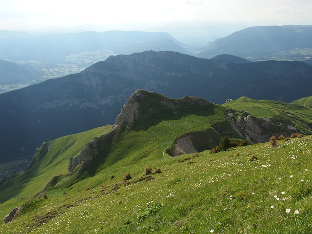
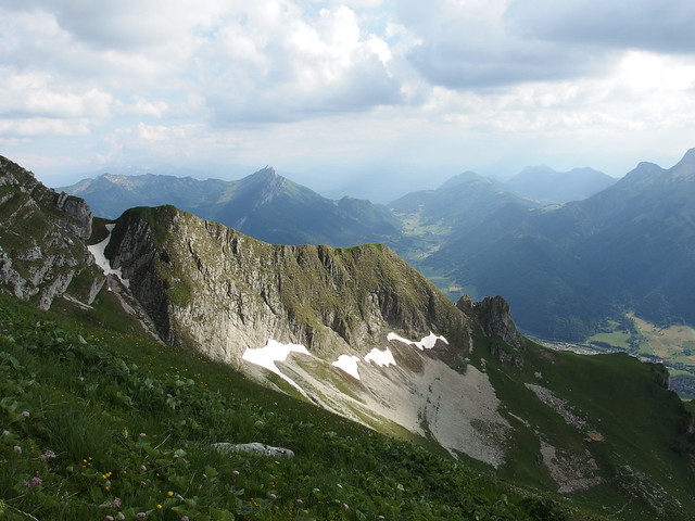
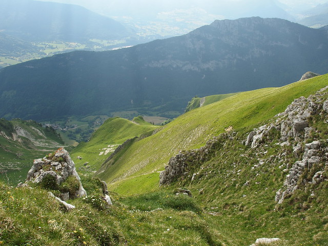
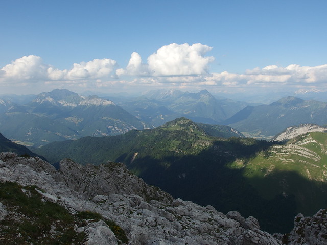
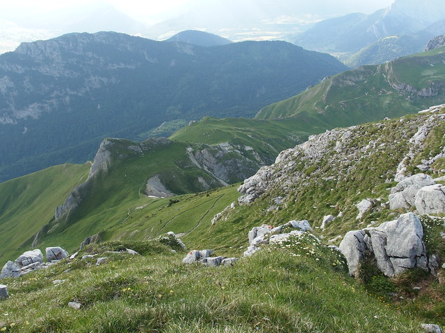
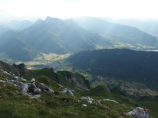
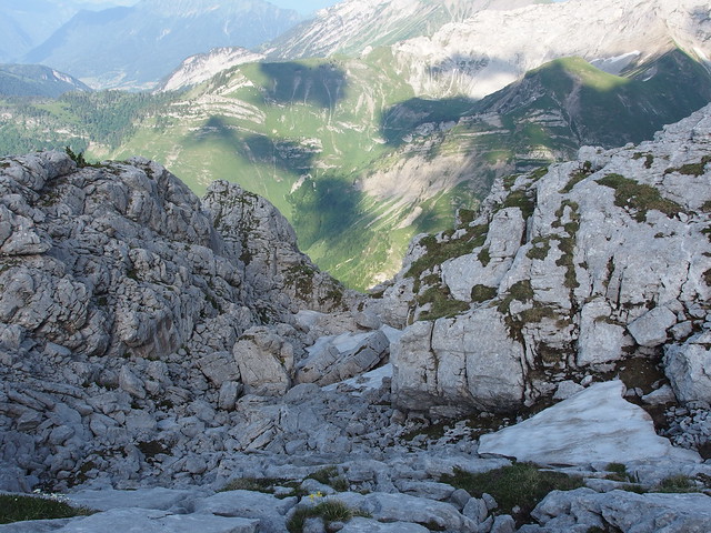
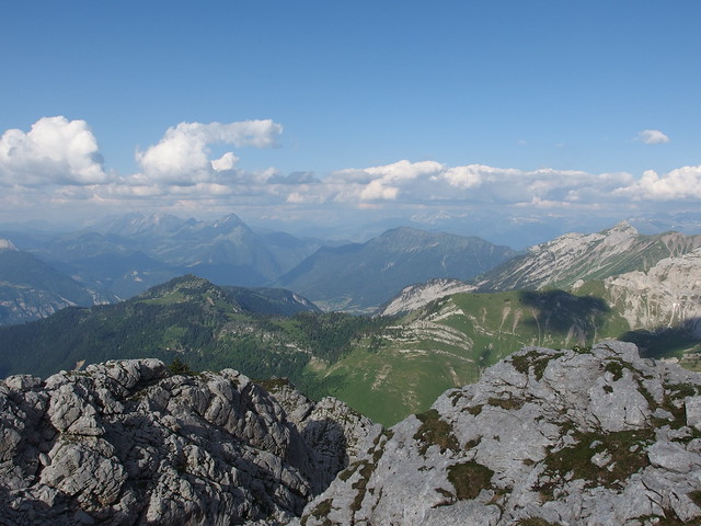
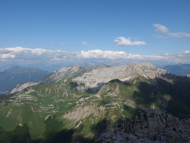
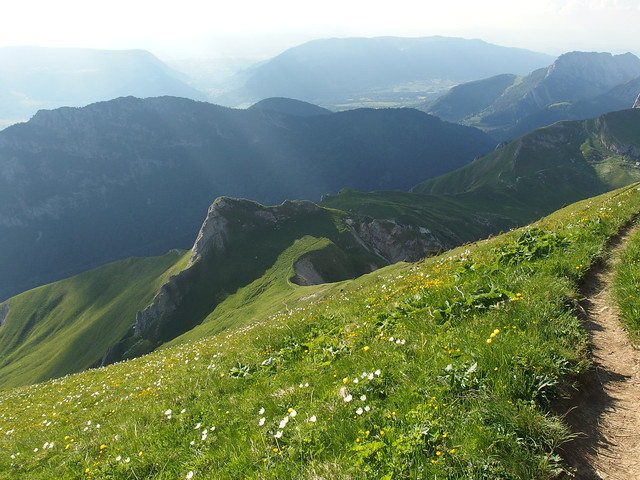
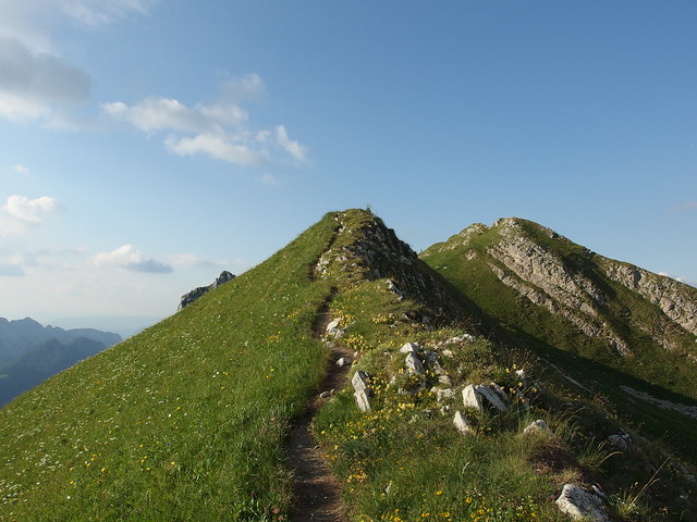
I first went by bike to Montgellaz in the village of Lathuile and parked at the same place as for the hike to Pointe de Banc Plat. To reach Mont Trélod, I could have gone up there again: There is a thin ridge to reach Dents des Portes and then continue on the trail to Mont Trélod, but the last time I was there, it did not seem very safe. So instead, I first used the trail in the forest to get to the pastures of Col de Bornette. Then I followed a road to Chalet du Golet. From there, I took the steep trail to Dents des Portes, but skirted it to go directly to the summit of Mont Trélod. The view up there was awesome. On the way down, I met a team from the ONF (National Forest Office), who were trying to capture some chamois, which are quite common in the area. I did not see any this time though… I then made a detour through the top of Dents des Portes before going down to Chalet du Golet and back to Montgellaz. It was night by the time I got there.
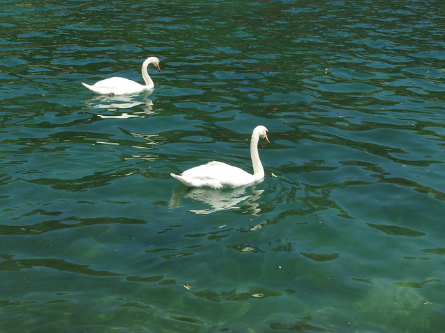
Above, swans on Lake Annecy.
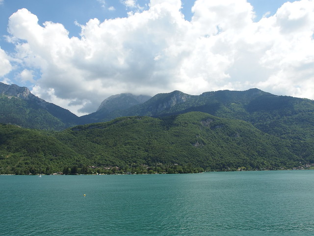
Above, Lac d’Annecy seen from Sévrier.
Above, La Tournette lost in the clouds.
Above, in Lathuile.
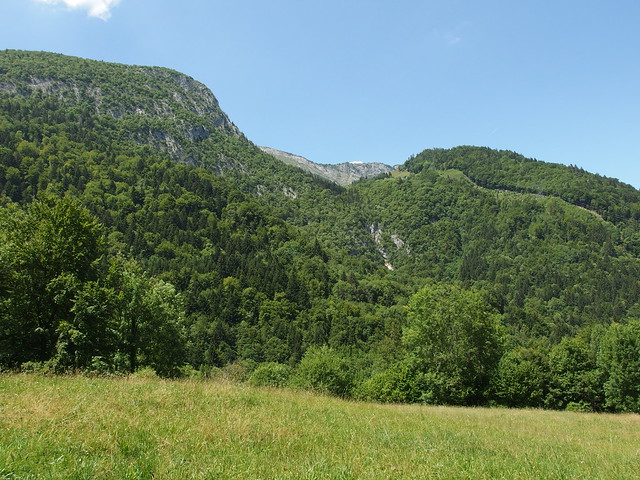
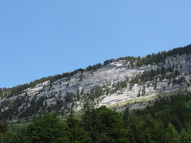
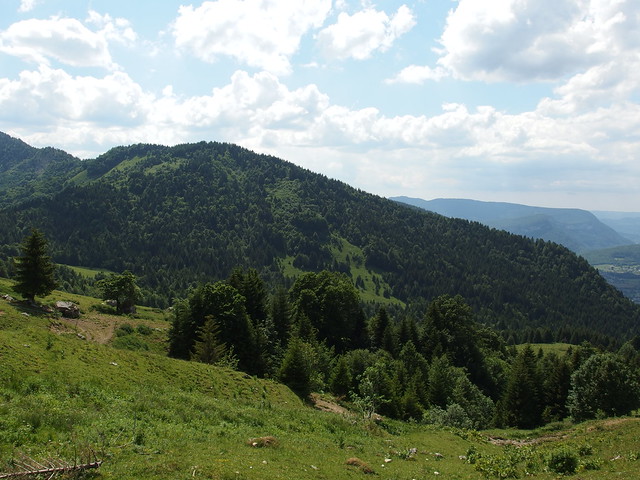
Above, Montagne du Charbon.
Above, after a few minutes on a forest road, I took the trail to Col de Bornette.
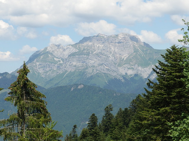
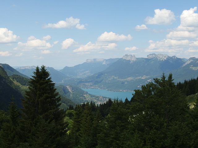
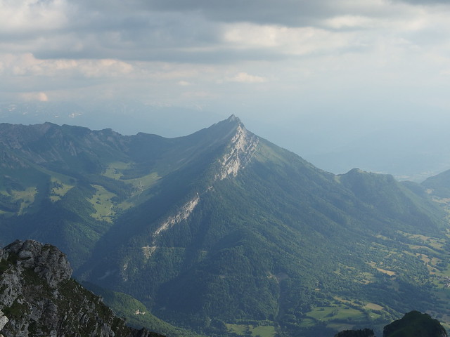
Above, La Tournette.
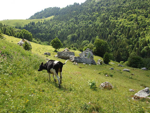
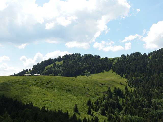
Above, Col de Bornette.
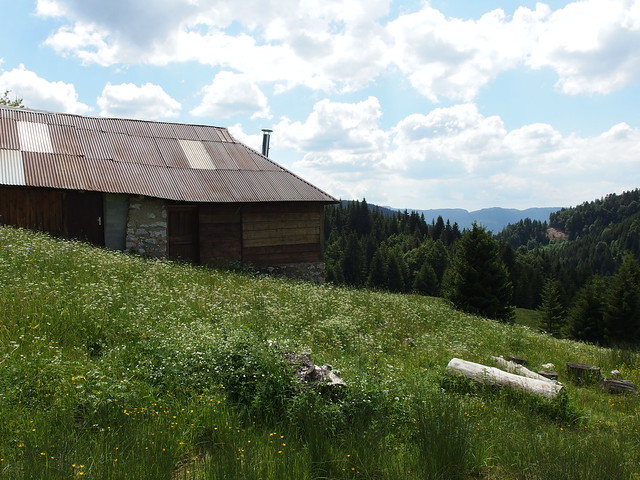
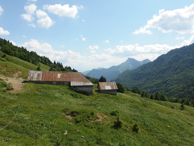
Above, Chalet du Golet.
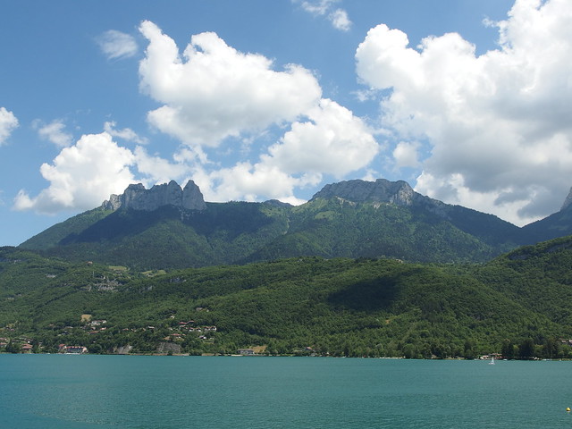
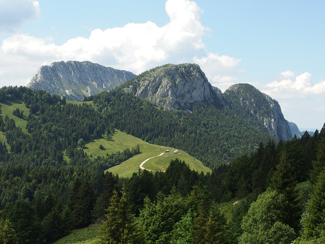
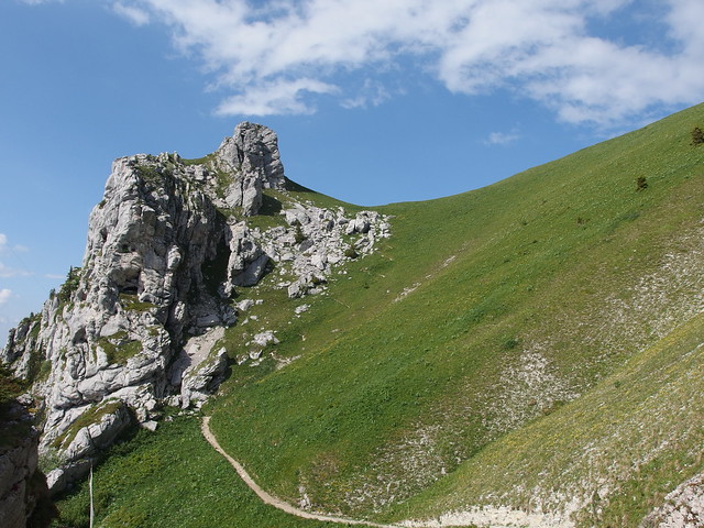
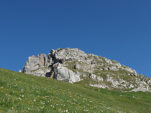
Above, Dents des Portes.
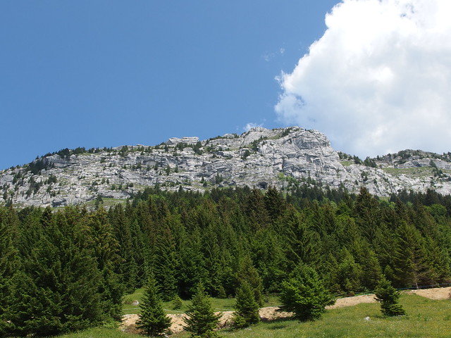
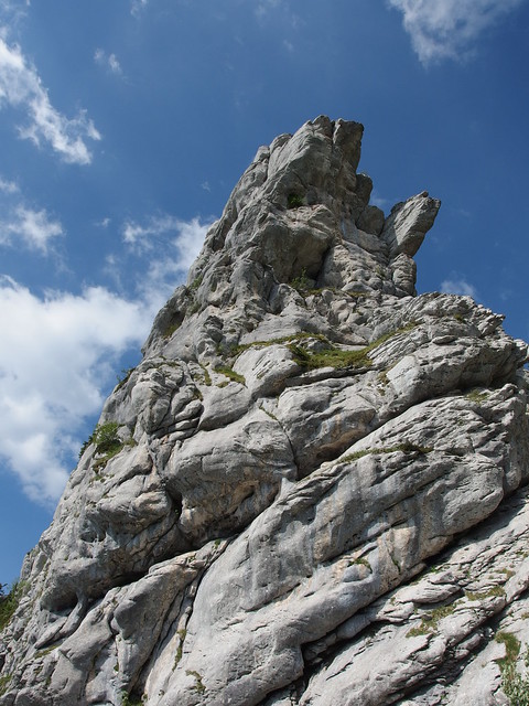
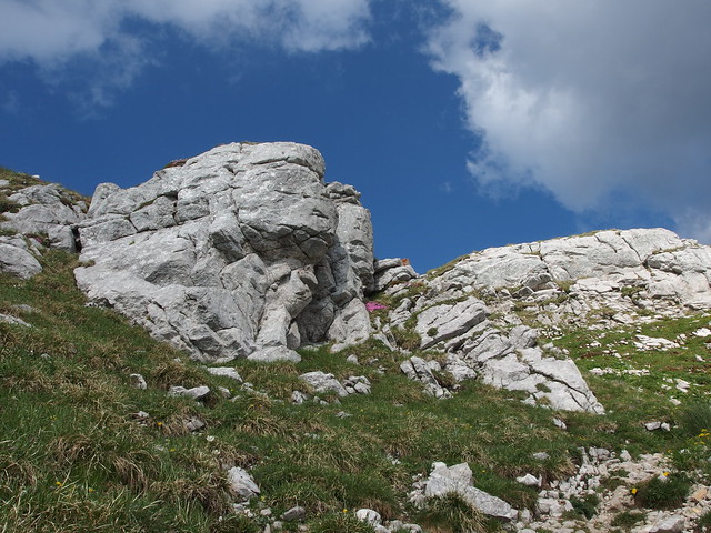
Above, Dents des Portes from up close.
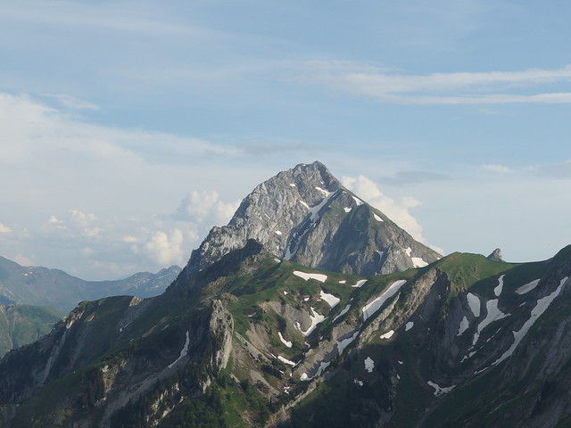
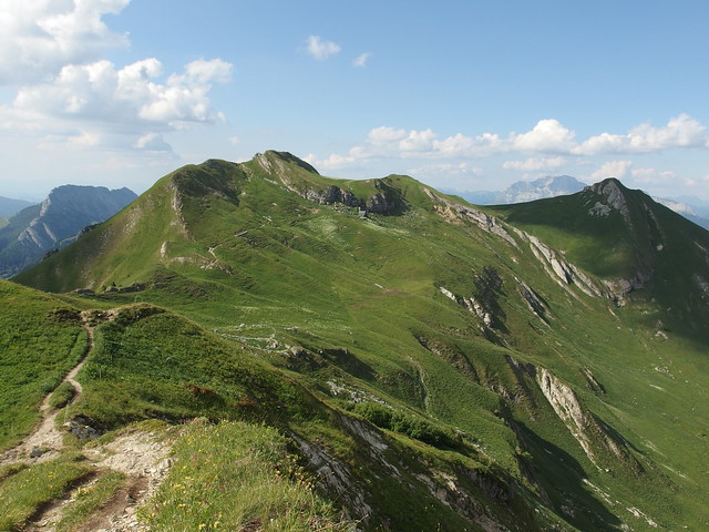
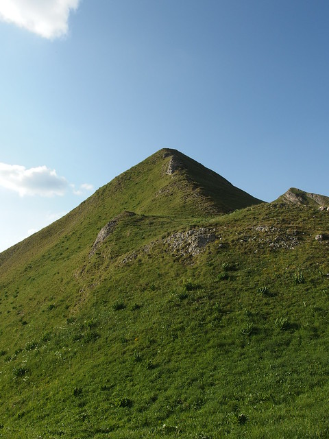
Above, Mont Trélod.
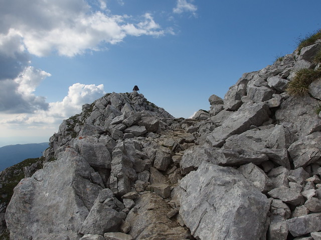
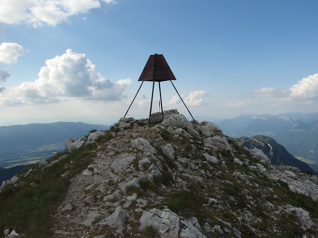
Above, summit of Mont Trélod.
Above, Pointe de Vélan.
Above, cross at the summit.
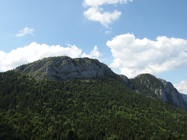
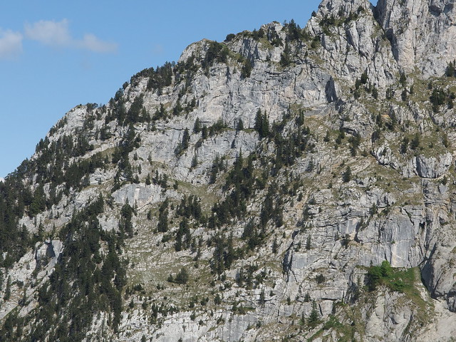
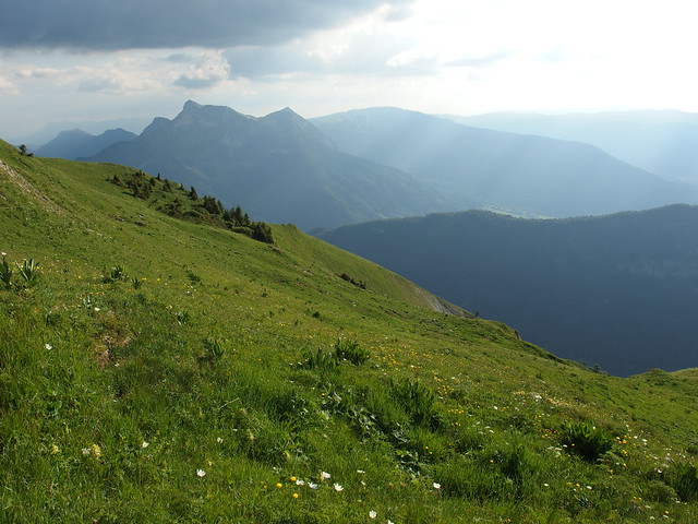
Above, Montagne du Charbon. The Pointe de Banc Plat is on the left.
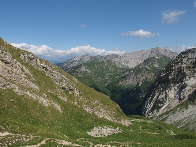
Above, Pointe d’Arcalod, the highest peak in the Bauges Massif.
Above, Mont Charvin and Aravis range in the background.
Above, Mont Colombier.
Above, on the way down.
Above, the ONF team tracking some chamois.
Above, back at Dent des Portes.
Above, the ridge from Dent des Portes to Pointe de Banc Plat.
Above, cairn at the summit of Dent des Portes.
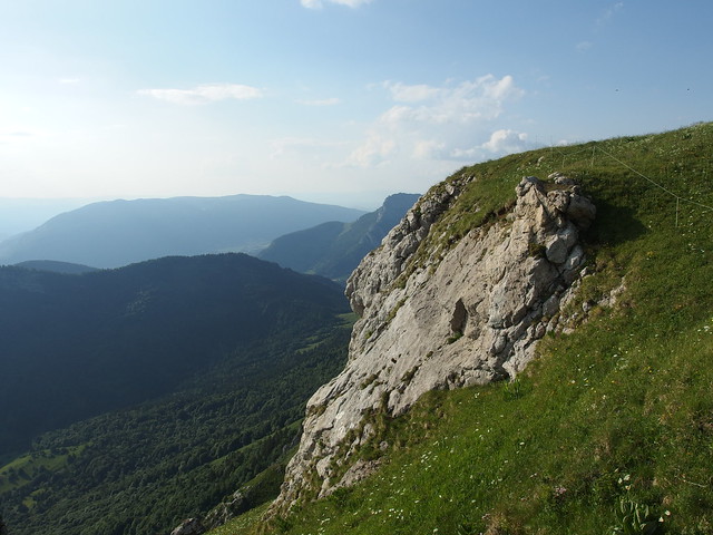
Above, looking back at Mont Trélod.
Above, Pointe de Banc Plat.
Above, La Tournette.
Above, Pointe de la Sambuy.
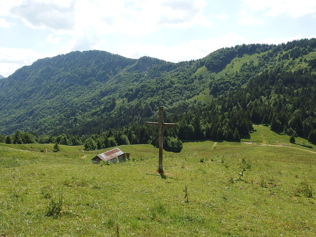
Above, cross at Chalet du Golet.
Above, last rays of sunlight at Col de Bornette.
Above, sunset on Lake Annecy.
Above, at night.
