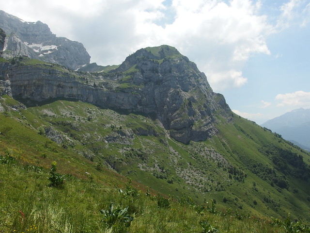
Hike to La Tournette
At 2,351m, La Tournette is the highest of the mountains surrounding Lake Annecy, in Haute-Savoie. It is part of the Bornes Massif.
The trail is well marked and steep but not that hard except towards the end. It starts at the Chalet de l’Aulp, in the village of Montmin. However, there is no public transportation to get there. So after poring over maps and looking on the internet, I settled for taking the same path I used when I went to Pointe de la Rochette: I first rode my bike to Verthier, at the southern end of the lake, then took the forest trail up to Col de la Forclaz and, finally, walked past Pointe de la Rochette to reach the Chalet. An alternative would have been to start in Talloires and go through Col des Nantets on the way to the Chalet.
Update 2017: There is now a summer shuttle from Talloires to Col de la Forclaz and the center of Montmin. It doesn’t arrive exactly at the Chalet but gets you closer.
Update 2021: The bus lines mentioned above to Col de la Forclaz and Montmin are now operated by SIBRA, the operator of the Annecy bus network: SIBRA lines F1 and F2. They now operate on the week-ends of June and September, as well as every day in July and August. They remain free.
Here is the trail that I walked (download KML):
On the trail to La Tournette, I crossed path with many alpine ibexes (bouquetin). When I reached the summit, it was already late in the day, so there was only one other group of hikers there. However, since La Tournette is THE classic hike in the Annecy area, it can get pretty crowded, especially during summer. At the summit, I shared my meal with the alpine choughs then went back on the same path. It was getting dark when I reached Verthier.
Above, in the morning at Albigny beach, in Annecy-le-Vieux.
Above, start of the trail near the chapel in Verthier.
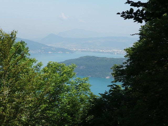
Above, view of the lake from Col de la Forclaz.
Above, Pointe de la Rochette and some menacing clouds. I was getting worried…
Above, runway for paragliders.
Above, the trail starts again above the runway.
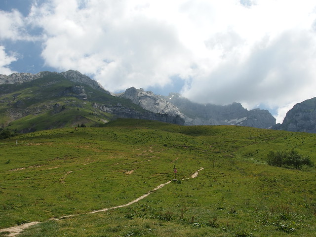
Above, first view of La Tournette since early morning, now hidden by clouds. I felt a bit dejected but I decide to forge on.
Above, paragliders in the sky.
Above, Montmin.
Above, centaurea flower.
Above, Chalet de l’Aulp, with the Lanfonnet in the background.
Above, start of the trail to La Tournette.
Above, Lanfonnet.
Above, Refuge de la Tournette (Blonay Dufour), still closed as of 2018.
Above, alpine ibex.
Above, Mamelon Vert.
Above, a paraglider near the refuge.
Above, there was still some snow left on the path.
Above, Parmelan in the distance.
Above, Montagne de Cotagne.
Above, the snow made this part a bit difficult.
Above, almost there! The summit is on top of this rock formation, called Le Fauteuil (The Armchair).
Above, ibex in the snow.
Above, chains are needed to reach the top of the Fauteuil.
Above, cross at the summit of La Tournette.
Above, Lake Annecy from the summit.
Above, in good days, it is possible to see the Mont Blanc.
Above, looking north towards Thônes.
Above, looking south towards the Bauges Massif.
Above, alpine chough.
Above, Mont Charvin, in the Aravis Range.
Above, looking east towards the Aravis Range.
Above, emergency hut.
Above, looking towards Pointe de Banc Plat, in the Bauges Massif.
Above, looking back towards the summit.
Above, on the way down.
Above, looking towards La Clusaz and the Aravis Range.
Above, Le Fauteuil from below.
Above, group of ibexes near the hut.
Above, I made a detour to have a look at the Refuge.
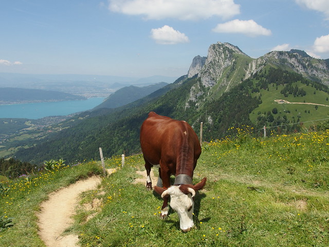
Above, cow near Chalet de l’Aulp.
Above, back at the runway of Col de la Forclaz.
Above, red sunset on Dents de Lanfon and Lanfonnet.
Above, La Tournette, partially hidden by Rocher du Roux.
Above, sunset on the lake in Duingt.


