Hike to Pointe de la Rochette & Rocher du Roux
After returning from Japan, I spent the summer in Annecy, in the mountainous Haute-Savoie area of France. For my first hike, I went to Pointe de la Rochette and Rocher du Roux (actually, just a viewpoint nearby), near La Tournette (the highest mountain bordering Lake Annecy) in the Bornes Massif.
Here is a map of the path I walked (download KML):
I started in Annecy, then followed the Voie Verte (Green Road) on my bike until the southern end of the lake, where I turned east to reach Verthier and parked my bike there. I then followed this itinerary to Col de la Forclaz and then on to the summit of Pointe de la Rochette. Instead of returning directly, I continued on the path towards La Tournette for a bit: First, I stopped at the viewpoint of Rocher du Roux (Panorama du Rocher du Roux), then walked to the Chalet de l’Aulp, which is the usual starting point for the climb to La Tournette. I started on that trail to have a look at the cows and the surrounding views but I did not go very high. Finally, I went down the mountain using the same path as I used for coming up.
Update June 2022: I recently came back to the area. This time, I went to the actual summit of Rocher du Roux (instead of just the viewpoint). There is a trail to the summit that is marked with blue paint dots and there are a few passages where hands are needed, but it is not very difficult. Here are some photos.
Above, canal seen from the Pont des Amours.
Above, swans on Lake Annecy.
Above, Montagne du Charbon.
Above, the bike path.
Above, Chapelle Notre Dame de la Nativité, in Verthier. The walking path starts there (trail common to GR96 and GRP Lac d’Annecy)
Above, there is a section on a paved road before reaching the forest trail.
Above, Lake Annecy and Taillefer mountain behind it.
Above, at Col de la Forclaz (Forclaz Pass).
Above, Lake Annecy, looking towards Annecy, on the northern end.
Above, Col de la Forclaz is one of the most popular starting points in the area for paragliders and hang gliders.
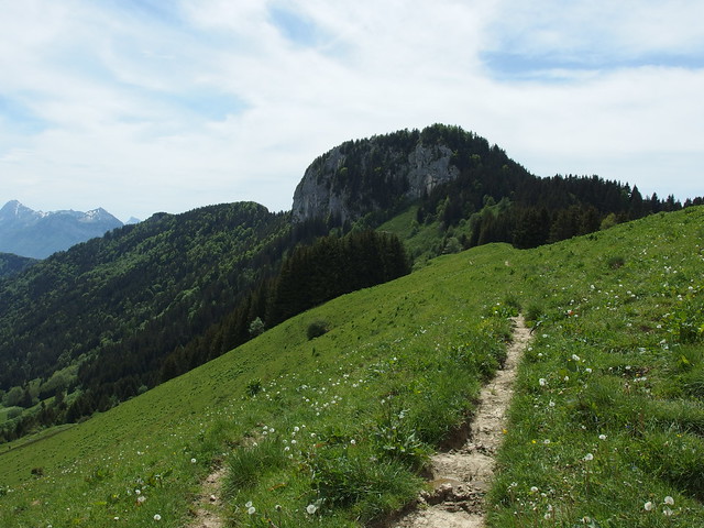
Above, Pointe de la Rochette.
Above, Montagne d’Entrevernes.
Above, Mont Veyrier.
Above, runway for paragliders. It was still early in the touristic season so there was not that many people.
Above, Lake Annecy, with the Castle of Châteauvieux in Duingt protruding in the foreground.
Above, Taillefer, Montagne d’Entrevernes and Roc des Boeufs (Bauges).
Above, Roc des Boeufs.
Above, the path continues in the forest above the runway.
Above, Dents de Lanfon on the right.
Above, summit of Pointe de la Rochette.
Above, the village of Montmin.
Above, La Tournette (2351m)
Above, looking south.
Above, Lake Annecy seen from the viewpoint (panorama) of Rocher du Roux. It is just a short detour from the trail to Chalet de l’Aulp.
Above, Dents de Lanfon (Teeth of Lanfon).
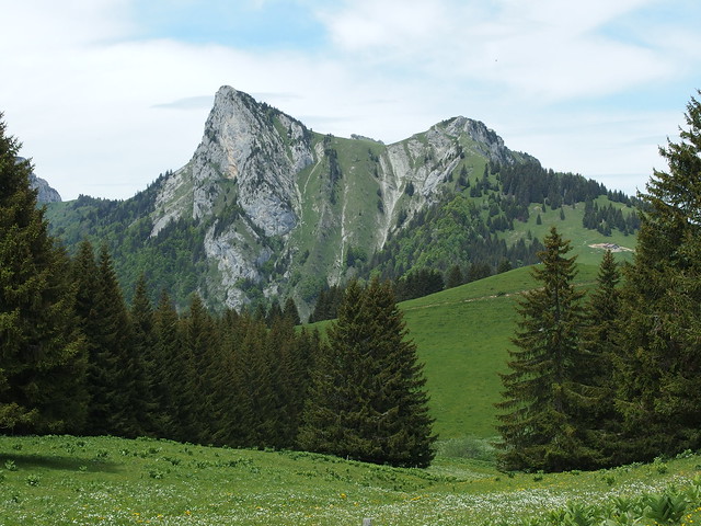
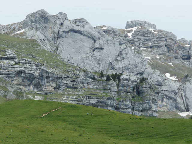
Above, Rocher du Roux.
Above, Lanfonnet.
Above, Chalet de l’Aulp. It is a farm that produces cheese and also serves as a restaurant during summer.
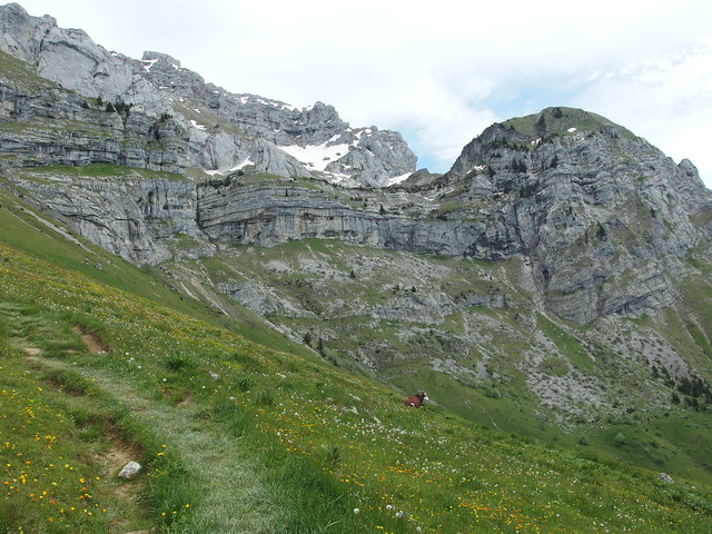
Above, on the trail to La Tournette.
Above, the most common type of cows in Haute-Savoie: the Abondance cattle.
Above, Rocher du Roux.
Above, on the way back.
Above, looking towards the Bauges Mountains: Pointe de la Sambuy in the center and Pointe d’Arcalod on the right.
Above, Pointe de la Sambuy.
Above, refuge (emergency hut) of La Tournette.
Above, back at the runway of Col de la Forclaz.
Above, hang glider.
Above, looking back at Pointe de la Rochette.
Above, on the way down to Verthier.
Above, looking at Col de la Forclaz, Pointe de la Rochette, Rocher du Roux and La Tournette from the other shore of Lake Annecy.
Above, near Duingt, on the voie verte to Annecy.


