—-

semantic web

October 17, 2008

Tutorial : Text geotagging with OpenCalais

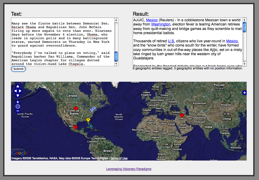
This tutorial will show how to use version 3.1 of the Calais API to identify geographic references in a text and display them on an OpenLayers map. I am going to use the Calais API with JSON output (which is a new feature of version 3.1), so that all the processing can be done easily in JavaScript entirely inside a web browser.

CONTINUE READING

Posted in tech
Tagged geo, semantic web
ain aix-les-bains alps amsterdam animal annecy aravis architecture art asakusa autumn bauges beach beaufortain bike blossom boat bornes bridge british columbia buddhism bunkyo california canada canal castle catholic chablais chambery chamonix chinese christian church curry faverges festival fier flower fog food forest fort france garden geneva geo giffre grand-bornand hanami haute-savoie hiking isere islam island italy japan jura kanagawa kansai koyo la clusaz lac du bourget lahore lake lake annecy lake geneva limestone lyon matsuri medieval minato miso mont blanc mont veyrier montmin montreal mosque mountain mughal museum music netherlands noodle observatory ocean okutama old town ome opensource pakistan paris park photo piedmont pond punjab quebec rain ramen rhone rice river rotterdam saint-laurent sakura san francisco savoie semnoz shinjuku shinto shoyu shrine skyscraper snow spicy spring statue sumida river summer sunset switzerland tech temple thones tokyo tokyo bay tomb tower tsukemen turin ueno united arab emirates usa vancouver video walk waterfall winter yamanashi zoo

Archives

Categories

RSS

All posts RSS

Map

Map of hikes around Annecy

  • Blog home
Author: Guilhem Vellut
Contact: guilhem.vellut@gmail.com
Main page: www.vellut.com