Hike from Sounzan to Mount Kami & Mount Komagatake in Hakone

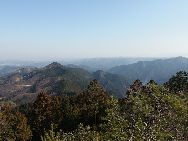
A couple of weeks ago, I went back to Hakone, this time for a hike to Mount Kanmurigatake, Mount Kami (神山; 1438m) and Mount Komagatake (駒ヶ岳; 1327m).
A couple of weeks ago, I went back to Hakone, this time for a hike to Mount Kanmurigatake, Mount Kami (神山; 1438m) and Mount Komagatake (駒ヶ岳; 1327m).

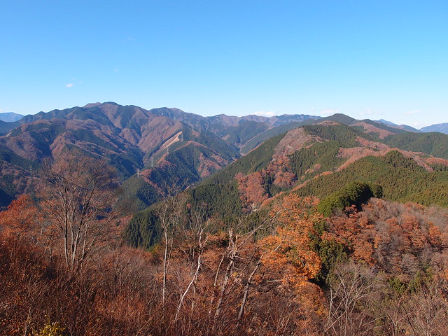
Mount Ougi (扇山; Ougiyama; 1138m) and Mount Momokura (百蔵山; Momokurasan; 1003m) are 2 mountains located in Otsuki, in Yamanashi Prefecture. In good weather, they offer great views of Mount Fuji. I went there on a hike a couple of weeks ago.
After the plum festival at Yoshino Baigo in Ome, I went on a hike to Mount Hinode and Mount Mitake. At the end of the day, I took the Mitake funicular to get down to the valley then walked from the lower station to the Mitake train station.

The Yoshino Baigo Plum Festival in Ome City is taking place until the end of March. It features more than 1,000 plum trees displaying white and pink flowers, which makes it the largest plum festival in Tokyo. The closest station is Hinatawada on the Okutama line.

On my last day in Kyoto, I went to the Fushimi Inari Shrine (伏見稲荷大社, Fushimi Inari Taisha). It is an important Shinto shrine in southern Kyoto, famous for its thousands of red torii gates along a series of trails that go from the base of Mount Inari to the summit.

Located in Kyoto’s eastern mountain range on Mount Hiei (比叡山), Enryakuji (延暦寺) is one of the most important monasteries in Japanese history. Enryakuji’s temples are concentrated in three areas: Todo (east area), Saito (west area) and Yokawa (which I did not visit). I went there using the Sakamoto Cablecar, the longest cable car route in Japan. While I was there, it was raining heavily and there was a lot of fog.

Earlier this week, I went back to Yugawara. The goal was to get to to Makuyama Park and its 4000 plum trees, now in full bloom.
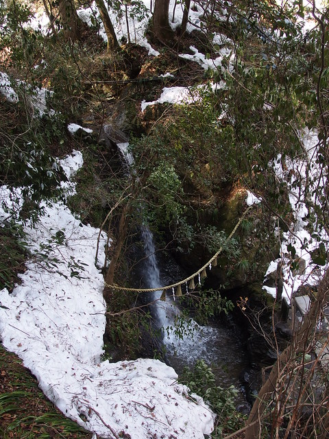
Mount Takao has many trails to and from the summit. This time, starting from the Takaosanguchi Keio station (高尾山口駅) at the foot of the mountain, I took trail #6 to get to the summit. There was still a lot of snow left. On the way down, I started on trail #3 then followed the paved road (trail #1) until Konpiradai, where I took a trail through the forest. I then walked to the Takao JR station, in town.
A few weeks ago, I went back to Mitake to continue the trail to Mount Bounoore (aka Mount Bounomine) I had planned to do then but abandoned due to the fog.
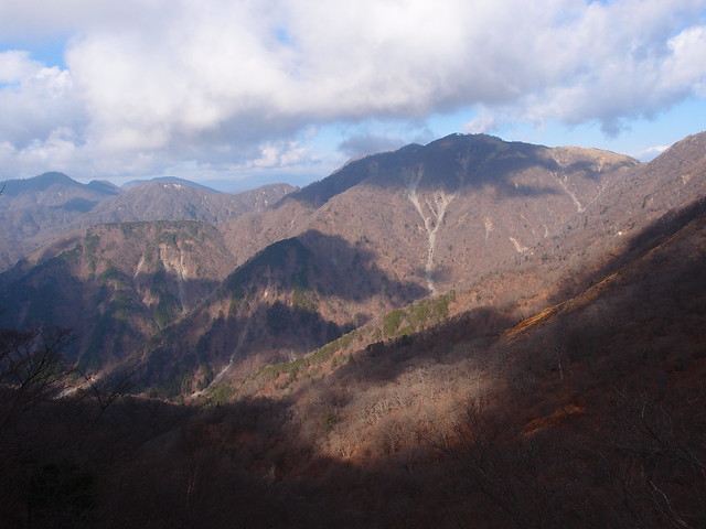
Last week, I went back to the Tanzawa mountains in Kanagawa Prefecture. This time, I hiked up Mount To (塔ノ岳; 1491m ; aka Tonodake), Mount Tanzawa (丹沢山; 1567m) and Mount Sannoto (三ノ塔; 1205m). Those mountains are quite popular: They are easily accessible with public transportation and the trail is very well-developed (stairs and huts at every summit). When the weather is good, it can offer great views on Mount Fuji. I was unlucky though: The forecast was “Sunny” but there was a lot of fog instead.