Parc Ahuntsic
Parc Ahuntsic is a park in Montreal located in the borough of Ahuntsic-Cartierville.
The Canal de Lachine is a canal passing through the southwestern part of the Island of Montreal, running 14.5 kilometres from the Old Port of Montreal to Lake Saint-Louis. The canal was built to bypass the treacherous Lachine Rapids on the Saint-Lawrence river upstream of Montreal. After completion of the canal in 1825, its banks became a major industrial area of the city. However, the canal closed to shipping traffic in 1970, a few years after the opening of the Saint-Lawrence Seaway (in 1959), which bypasses the rapids starting in Longueuil, on the other side of the river.
The canal is lined with a nice path, suitable for walking and biking, all the way from the Old Port to Lake Saint-Louis. I followed that path on foot until the Saint-Henri neighbourhood, where I took the subway back to Downtown.
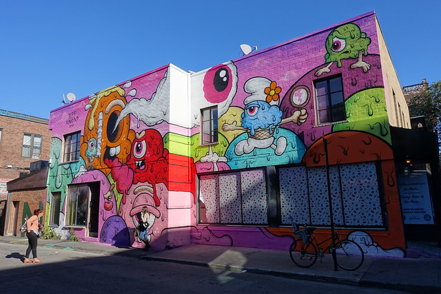
Le Plateau-Mont Royal is a neighbourhood of Montreal located north-east of Mount Royal. It is a mostly residential area, with many parks, trendy shops and restaurants. It is also well known for its large number of murals.
Parc Jean Drapeau is a large park in Montreal located on Ile Saint-Hélène and Ile Notre-Dame, in the Saint-Lawrence river. It is named after Jean Drapeau, who served as mayor of Montreal for many years. The islands were the site of Expo 67 and the best-known and most visible feature of the park, the Montreal Biosphere, is a remnant of that event: It was the pavilion of the United States during the Expo.
Parc de Dieppe is a park located at the northern tip of the Cité du Havre in Montreal. It is surrounded by the Saint-Lawrence river and offers a great view on the Old Port and the Ile Sainte-Hélène. When I visited in 2016, it was called Parc de la Cité du Havre: In August 2017, the city changed its name to Parc de Dieppe, in honour of the 75th anniversary of the Dieppe raid during WW2.
Starting from the Bassins Peel, I walked in the Cité du Havre neighbourhood, passing by the brutalist Habitat 67, until I reached the Parc de la Cité du Havre (recently renamed Parc de Dieppe), at the tip of the peninsula. There was a great view on the Old Port, Pont Jacques Cartier and Parc Jean Drapeau from the park. I then crossed the Saint-Lawrence river on Pont de la Concorde until Ile Notre-Dame. At that point, it was getting dark so I walked to Ile Saint-Hélène and Parc Jean Drapeau to take the subway back to the city. I stopped at the Biosphère on the way.
Chinatown is a neighbourhood in Montreal that contains many Asian restaurants, food markets, and convenience stores as well as being home to many of Montreal’s East Asian community centres.
Parc Jarry is a park in the Villeray neighbourhood of Montreal. I saw a lot of squirrels there.
The Bois-de-Liesse Nature Park is a large park in the northwestern part of the island of Montreal, near the Rivière des Prairies. It has a number of walking trails to choose from (see the map). In winter, the trails are used for cross-country skiing (see the winter map).
The Notre-Dame-de-Bon-Secours Chapel is one of the oldest churches in Montreal. It was built in 1771 in the district of Old Montreal, near the Old Port.