Hike to Mount Tsukuba

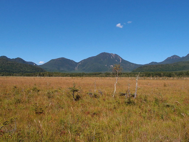
Last week, I went on a hike to Mount Tsukuba (筑波山), in the city of Tsukuba (Ibaraki Prefecture), north-east of Tokyo.
Last week, I went on a hike to Mount Tsukuba (筑波山), in the city of Tsukuba (Ibaraki Prefecture), north-east of Tokyo.

Last Friday, I went to the western area of Tokyo known as Hachioji and hiked up Mount Takao (599m). From the summit, I followed a trail for a bit and, at the end of the day, found myself near Lake Sagami.
I went to Nikko (Tochigi Prefecture) last Wednesday. It is a mountainous area not far from Tokyo (~2h from Asakusa station). It is especially known for its historical sites (shrines, temples) but, since I had already visited those before, I instead went hiking in the Oku-Nikko area (奥日光).
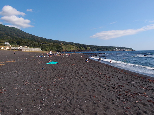
Oshima is an island lying about 100 km south of Tokyo and is the largest of the Izu Islands, a group of volcanic islands administered by the Tokyo Metropolitan government. Like the other ones, it is accessible (among other options) by a high-speed jet ferry that uses the hydrofoil technique: It makes it possible to get there from Tokyo in a mere 1h45. Oshima offers various interesting activities: Among the most popular are the beaches (made of black sand), the onsens and the volcano (Mount Mihara). There are also a zoo, a large camellia garden and a squirrel park.
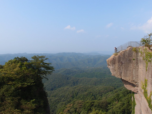
Last week, I went on a day trip to Mount Nokogiri (Nogiriyama). It is a small mountain (329m) on the south of the Boso Pensinsula in Chiba Prefecture. It hosts the Buddhist Nihon-ji temple, famous for its 31m stone-carved Daibutsu (Great Buddha), as well as a 100-foot Kannon relief image and 1500 hand-carved arhat sculptures. There are also observatories with a great view of the surrounding mountains and Tokyo Bay (although the heat made the scenery a bit hazy).

Last week, I went on a day trip to Kamakura and Enoshima, in the Kanagawa prefecture, not far from Tokyo.

On my last day in Iceland, I went up the Esja, which is the mountain range north of Reykjavik. There are various trails there with a great view on the city.

Last sunday I went for a hike in a place called the “Cirque du Fer à Cheval”, in Haute-Savoie. It is surrounded by mountains (unfortunately, I didn’t see much of them because of the fog) and has many waterfalls, that feed the torrent called Giffre. It is a very pleasant walk, almost flat, except at the end of the Cirque, that is known as the “Bout du monde” (“World’s End” in French) where the path becomes a bit steep. The view is worth it though.