Hike to Mount Mito
A couple of weeks ago, I hiked Mount Mito (三頭山; 1531m). It was my last of the “Three Mountains of Okutama”.
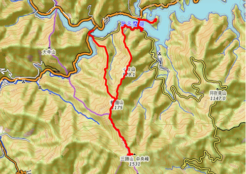
Here is a map of the path I walked (download KML):
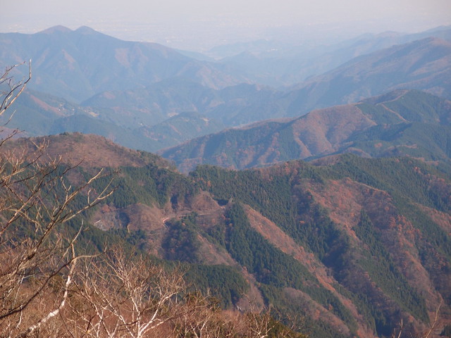
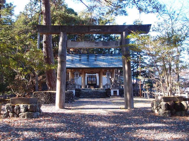
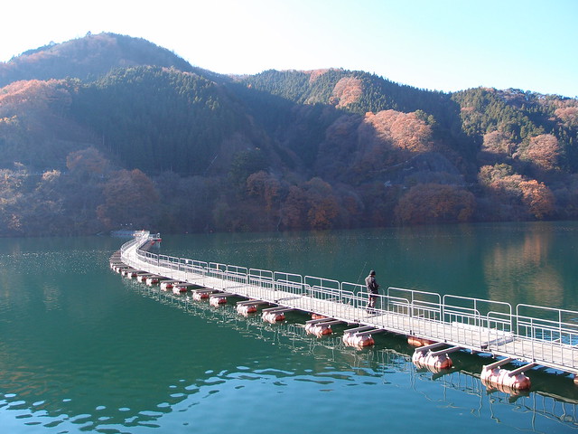
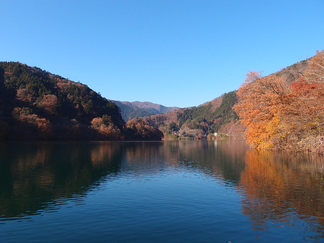
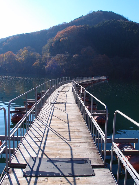
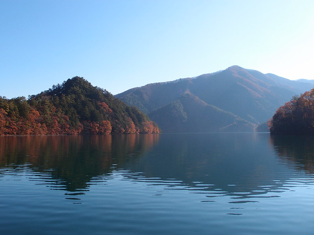
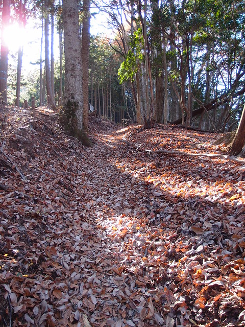
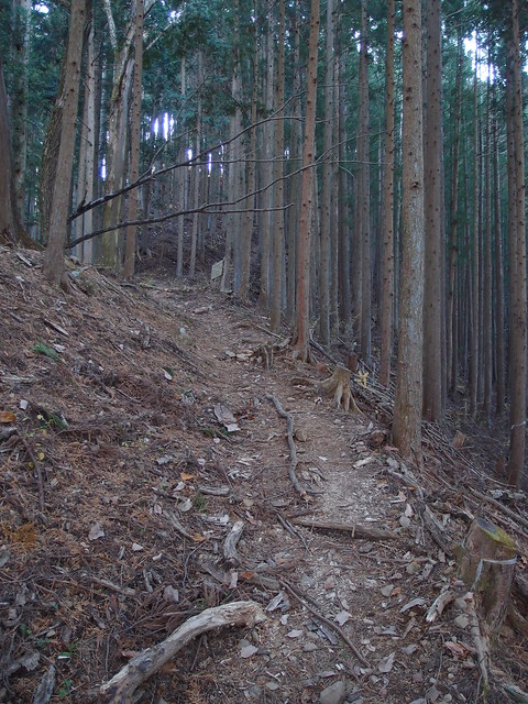
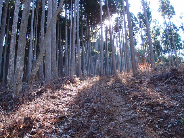
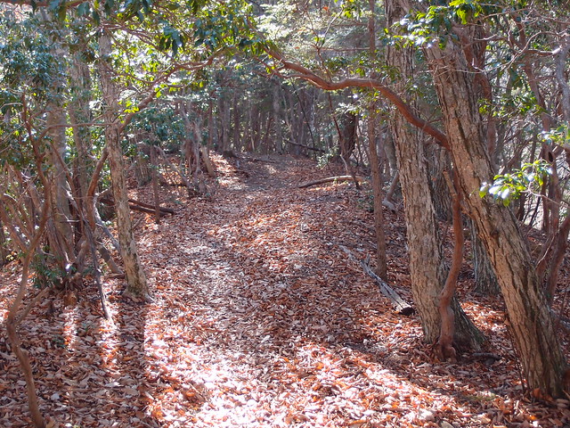
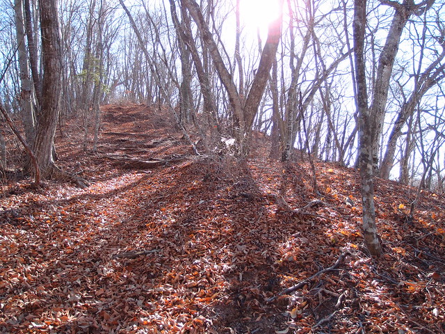
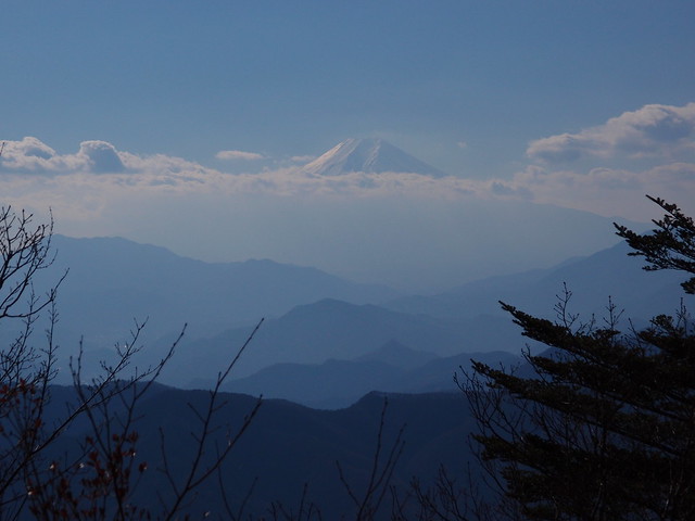
After taking the bus at Okutama station, I got off at the Okutama Shrine (奥多摩神社) bus stop. I made a detour to visit the shrine itself then crossed Lake Okutama using the floating bridge (浮橋). After walking along the road for a bit, I found the forest trail and made my way up the mountain, passing Mount Iyo (イヨ山) and Mount Nukazasu (ヌカザス山) along the way. The summit of Mount Mitou is in the Hinohara Tokyo Citizen Forest (都民の森) and consists of 3 peaks (East, Central, West). There is a view of Mount Fuji from the west peak. I then went down the same way until I reached Mount Nukazasu, where I took a trail following the Murokubo Ridge (ムロクボ尾根). It still led to Lake Okutama, but got me closer to the Mito Bridge (三頭橋) and the start of the trail to Mount Otera.
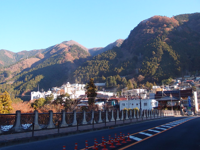
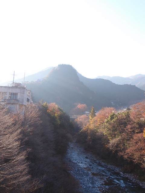
Above, Okutama in the morning.
Above, on the bus to Lake Okutama.
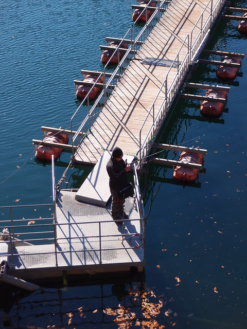
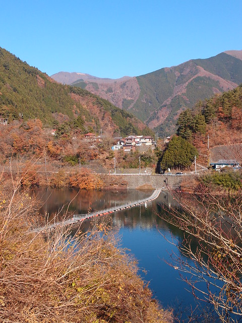
Above, fisherman on the floating bridge.
Above, road to the Okutama Shrine.
Above, the shrine.
Above, on the floating bridge.
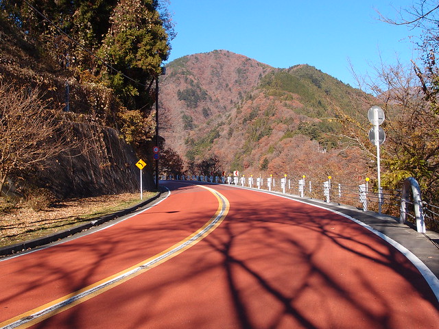
Above, the Lakeside Path that leads to Road 206.
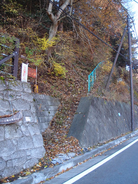
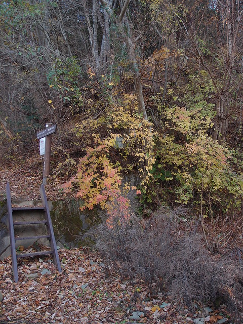
Above, the trailhead.
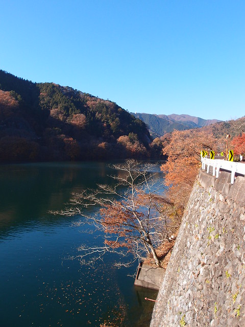
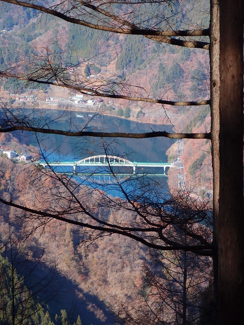
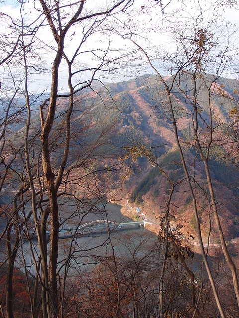
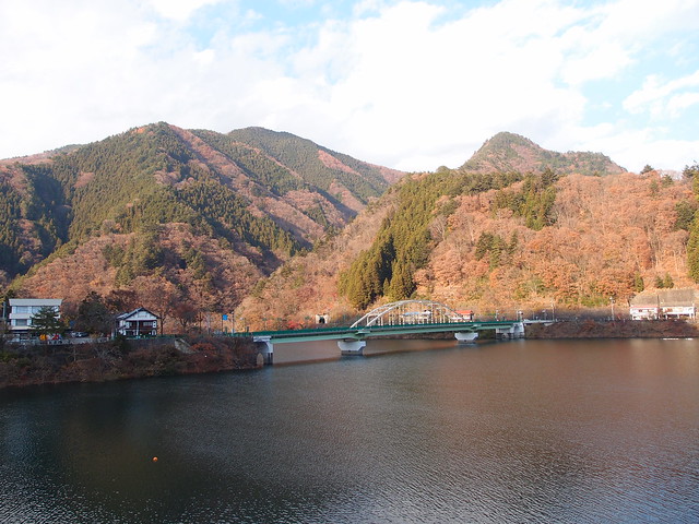
Above, the Miyama Bridge (深山橋) on Lake Okutama.
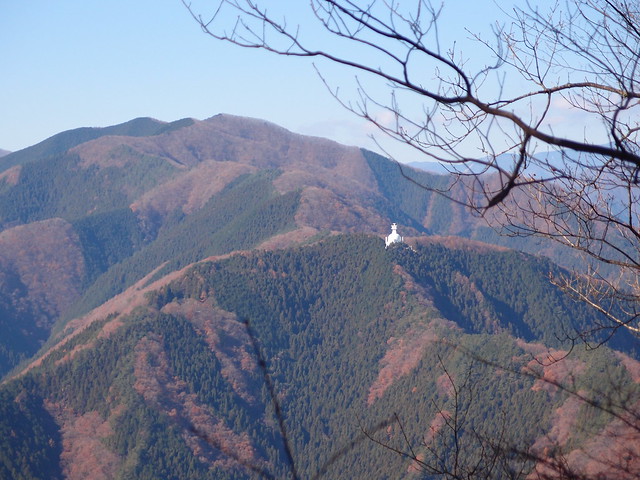
Above, Tokyo Peace Pagoda at the summit of Mount Otera.
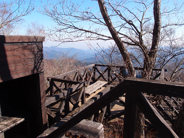
Above, on the steps to the west peak of Mount Mito.
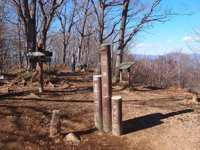
Above, at the summit of the west peak.
Above, Mount Fuji.
Above, at the east peak.
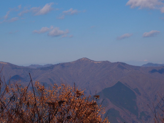
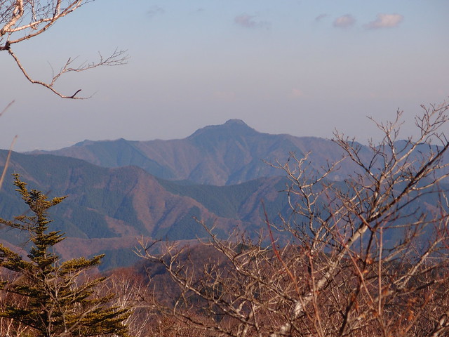
Above, view of Mount Gozen.
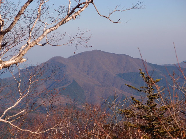
Above view of Mount Odake.
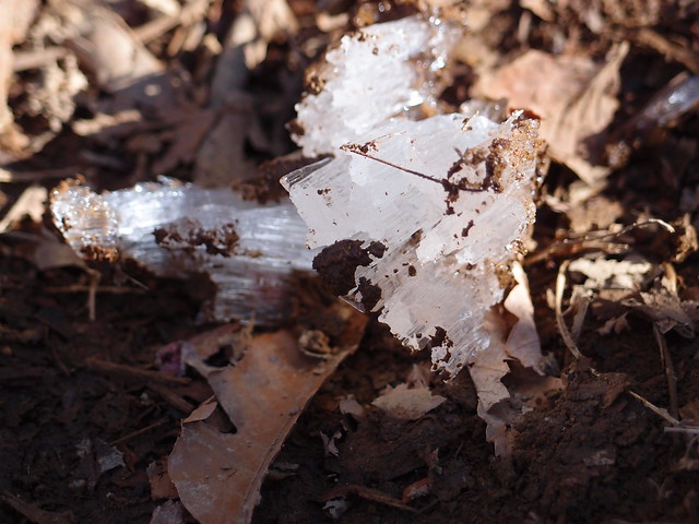
Above, ice crystal.
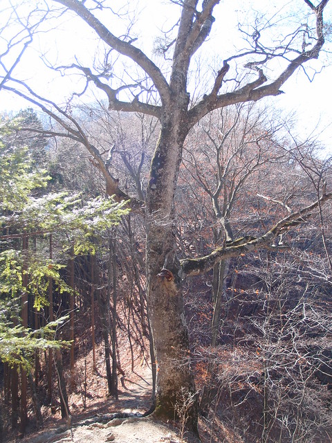
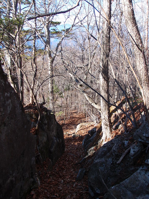
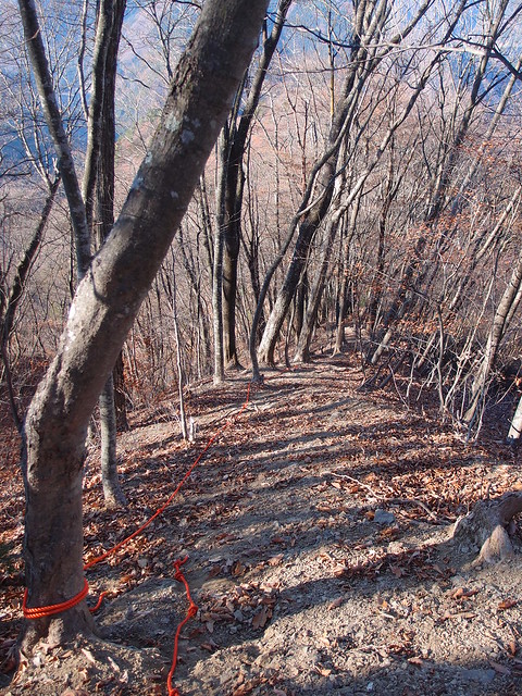
Above, on the way down the mountain.
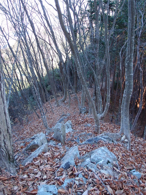
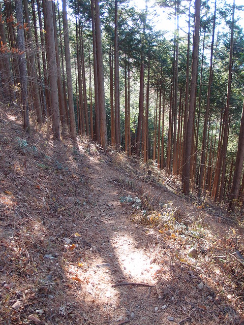
Above, the start of the Murakubo Ridge.
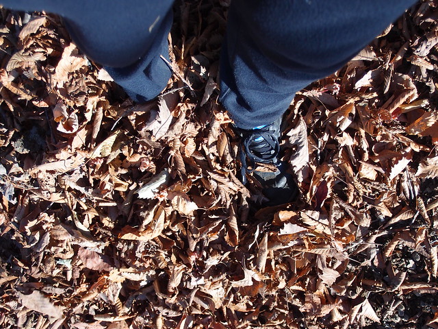
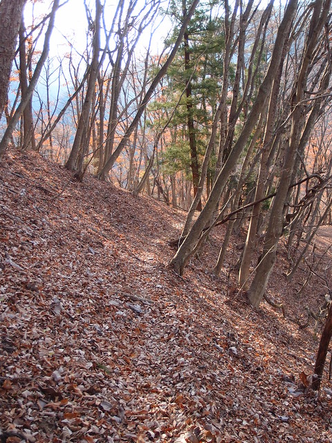
Above, stomping on crunchy leaves.
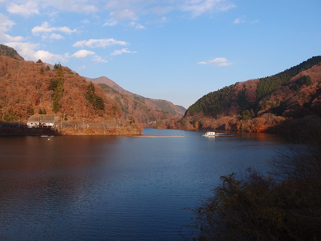
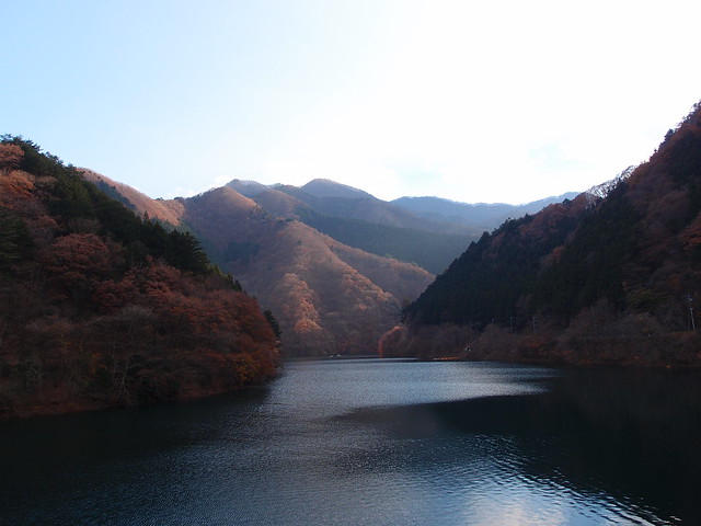
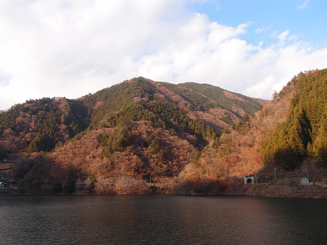
Above, arriving at the lake.
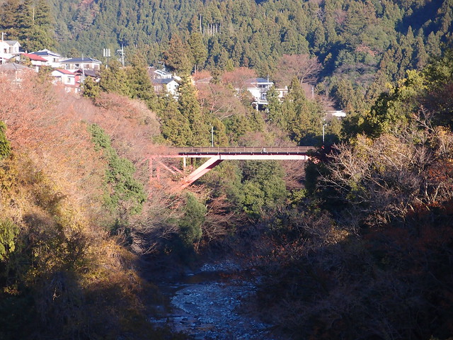
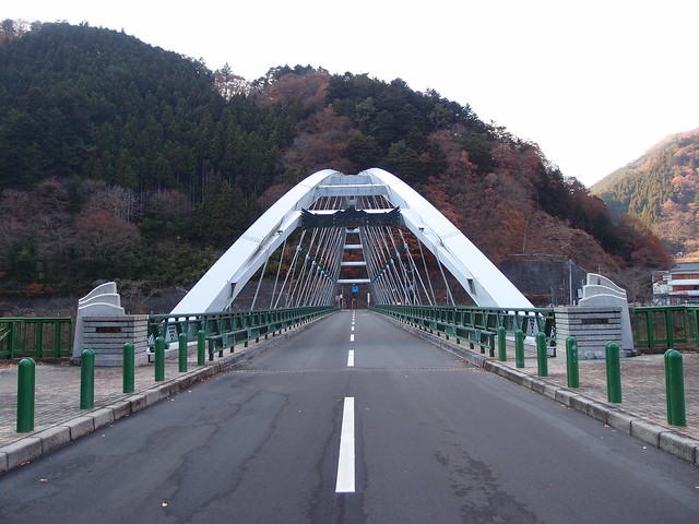
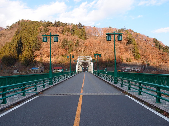
Above, Mito Bridge.
Above, Miyama Bridge, which crosses Lake Okutama.
Above, another view of Mito Bridge.
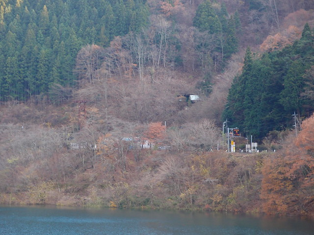
Above, view of the abandoned Okutama Ropeway station on the south bank. It was built in 1961 and shut down in 1966.
Above, Miyama Bridge, from near the trailhead to Mount Otera. There is a bus stop to Okutama station on the other side.
