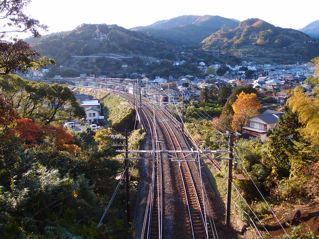
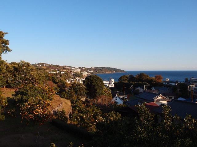
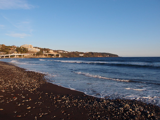
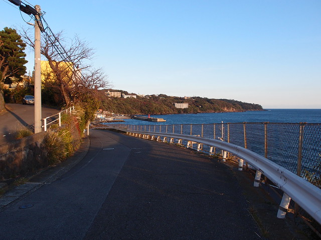
Hiking by the sea in Yugawara: Mount Shiro, Mount Maku and Mount Nango
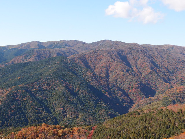
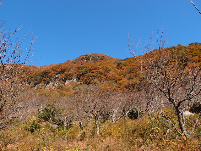
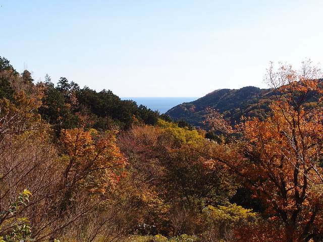
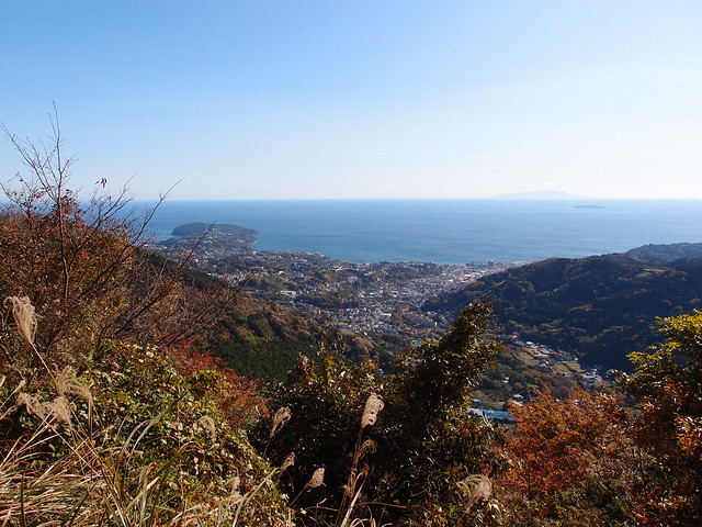
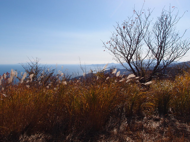
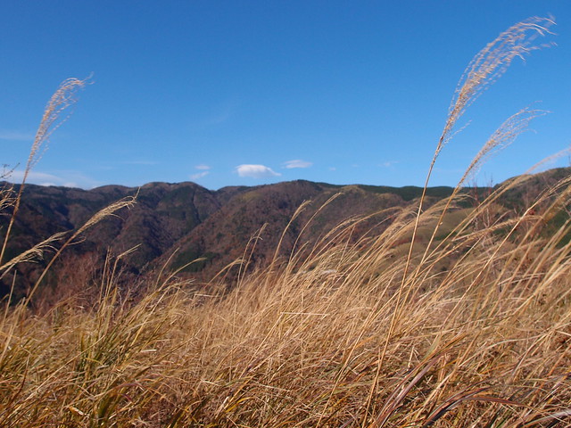
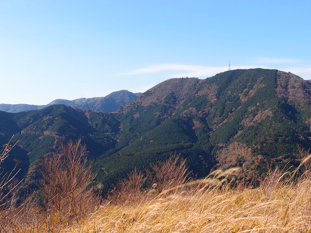
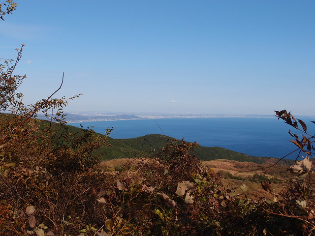
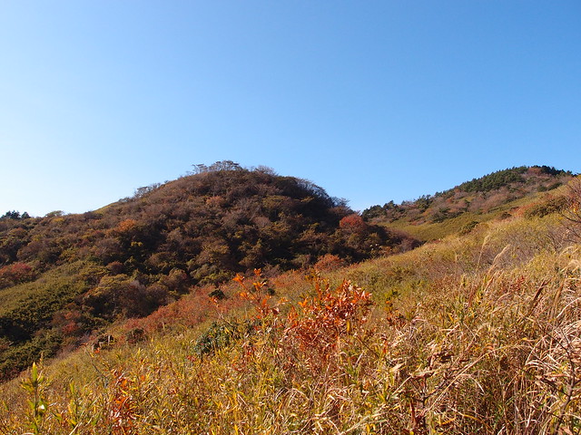
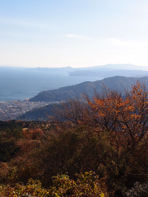
A couple of weeks ago, I went hiking in the sea-side town of Yugawara, in Kanagawa Prefecture, going up, in order, Mount Shiro (城山; 563m), Mount Maku (幕山; 626m) and Mount Nango (南郷山; 610m). They are not very high mountains but since the route starts at sea level, it still made for good exercise. The view on the Pacific Ocean during the hike was also great.
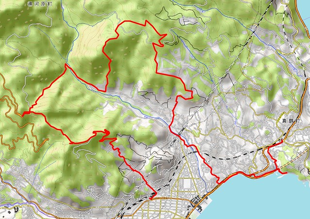
I got the idea from this blog post but in the end I mostly followed the plan outlined here (with map). Here is the actual path I walked (download KML):
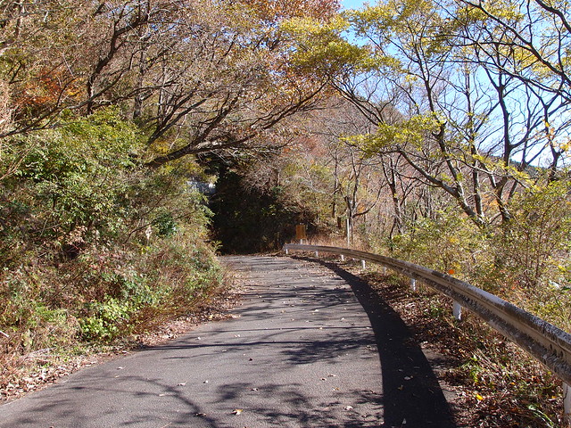
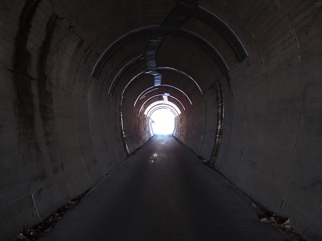
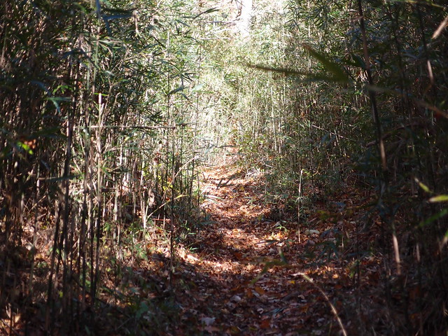
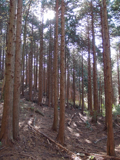
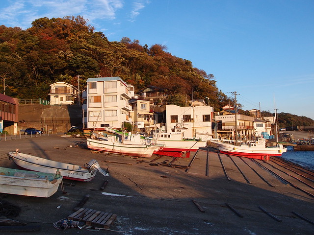
The start of the hike can be reached directly from Tokyo in about 1h30 with the JR Tokaido Main Line (even faster using the Shinkansen). When I arrived at Yugawara, I made a detour to have a look at the ocean. I then went back to the train station and followed the trail direction from there. The first step was Mount Shiro. It can be reached after walking a paved road and then a short mountain trail. Then I went through a tunnel and visited the Shitodo Cave. After a short walk in the forest, I reached Makuyama Park. I then went up Mount Maku, the highest mountain of the day. It got very windy at that point. Finally, I went back into the forest towards Mount Nango and passing the Jikansui Pond (自鑑水) along the way. From the summit of Mount Nango, there is an unmarked (but perfectly usable) trail to get down to Yugawara. I then finished the day by following the road along the coastline until I reached Manazuru station.
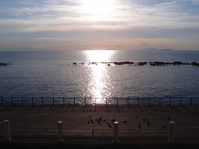
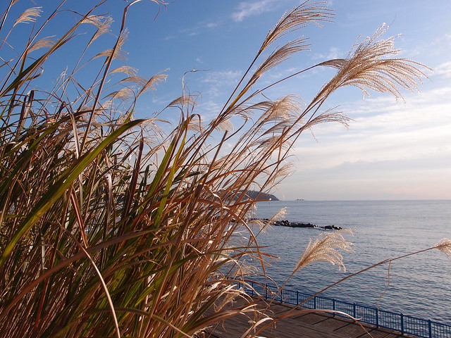
Above, Sagami Bay in the morning.
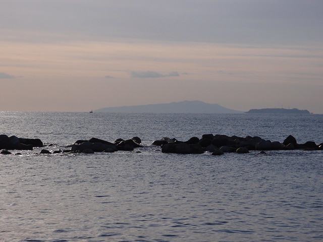
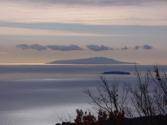
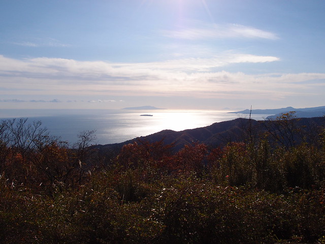
Above, the island of Izu Oshima.
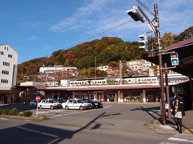
Above, Yugawara station.
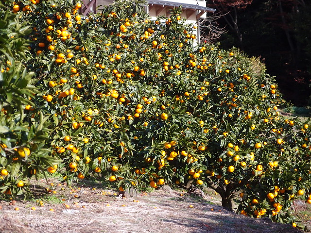
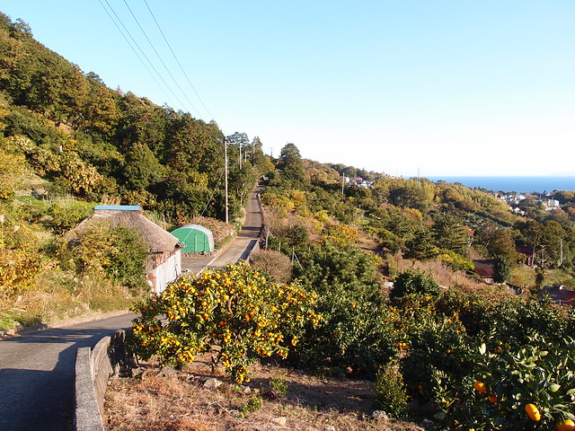
Above, oranges. It seems a local specialty.
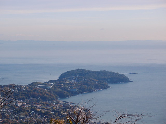
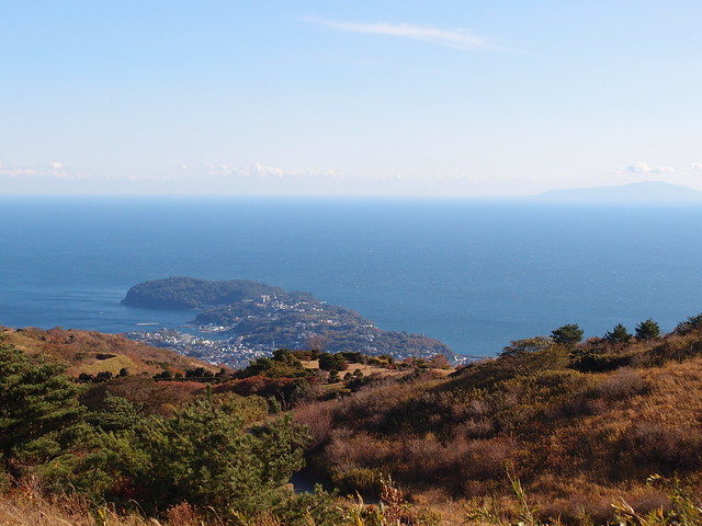
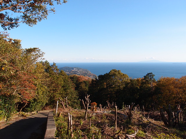
Above, Manazuru Cape from the summit of Mount Shiro.
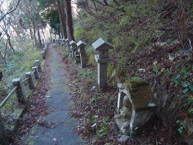
Above, at the entrance to the path leading to the Shitodo Cave.
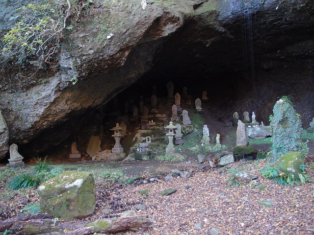
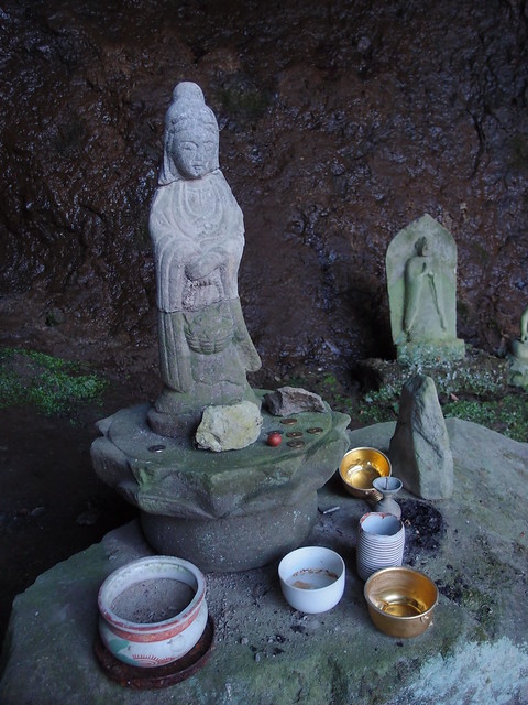
Above, the cave.
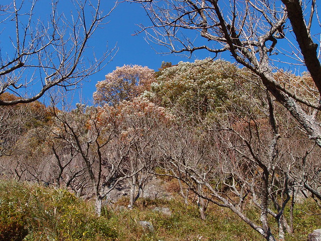
Above, plum tress at Makuyama Park. They blossom in February.
Above, a butterfly hanging on for its life in the wind.
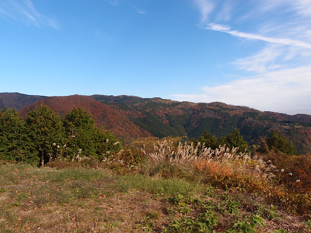
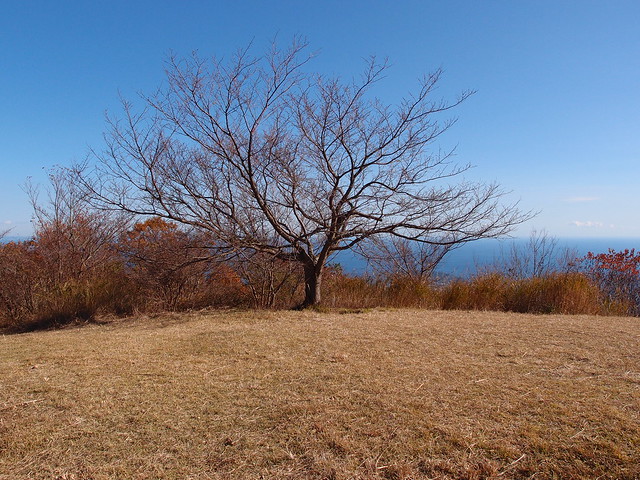
Above, at the summit of Mount Maku.
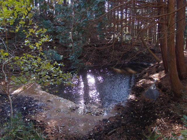
Above, Jikansui Pond on the way to Mount Nango.
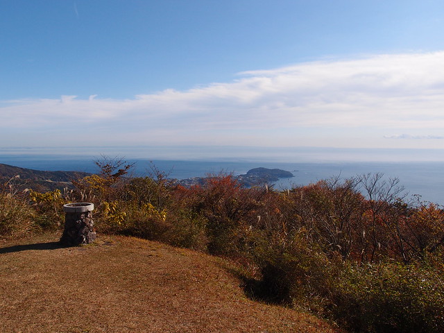
Above, at the summit of Mount Nango.
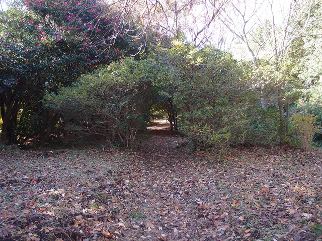
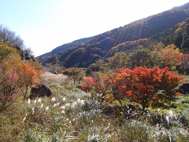
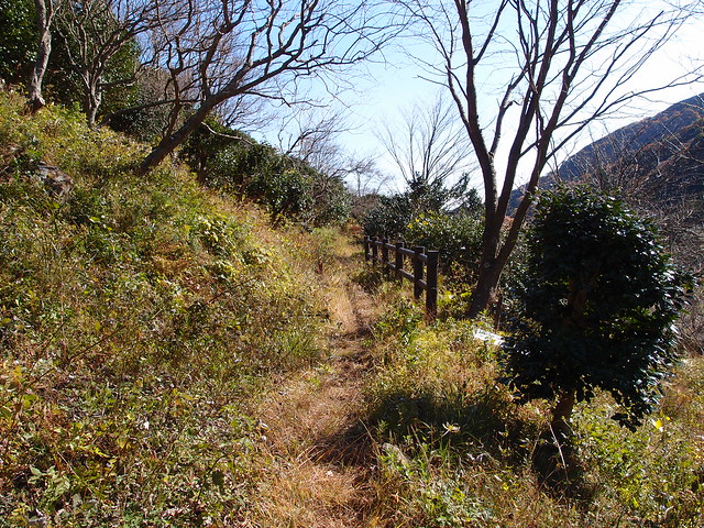
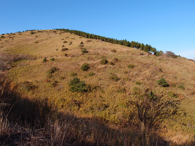
Above, I walked in the area around the summit of Mount Nango for a bit before going down to Yugawara.
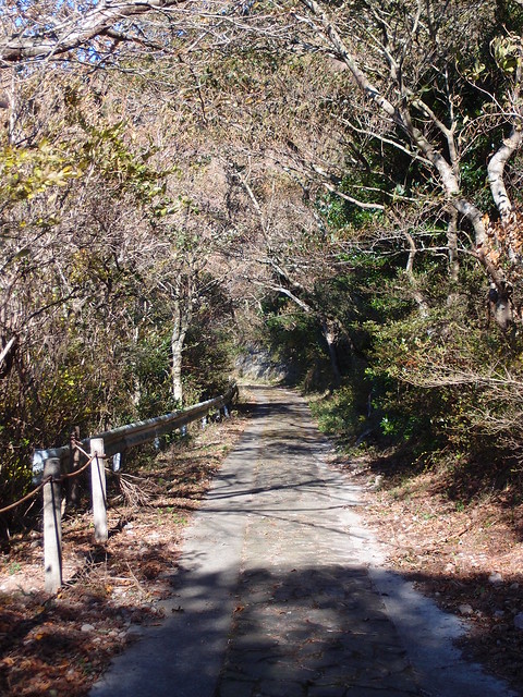
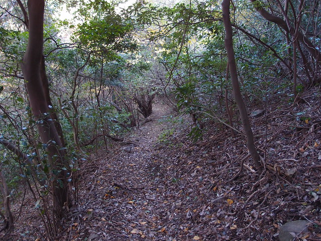
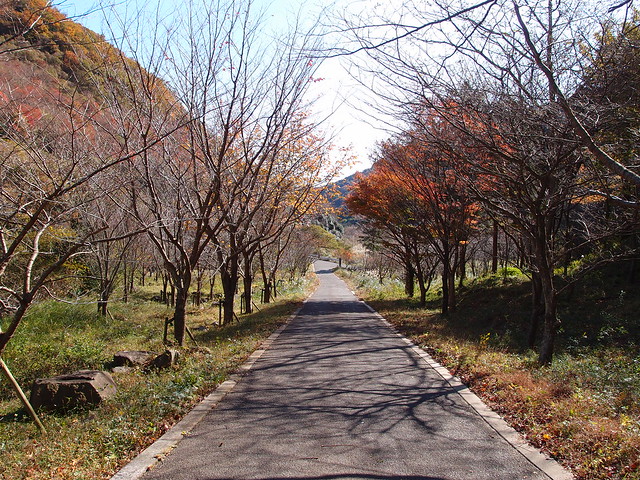
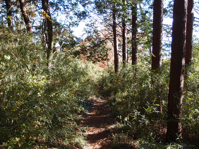
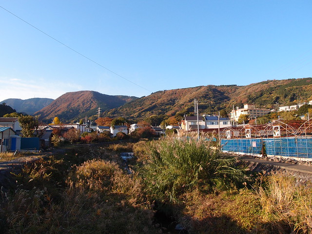
Above, on the way down to Yugawara.
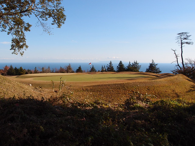
Above, the trail goes along a golf course.
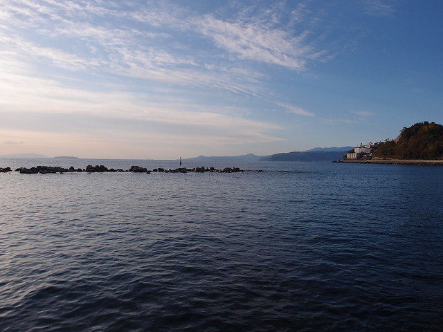
Above, at the beach, looking at Manazuru Cape.
Above, even though the waves were not that high, there were a few surfers training in the ocean.

