Hike from Hatonosu Valley to Mount Mitake & Mount Hinode
After enjoying the Hatonosu Valley, I decided to hike the trail to Mount Mitake and Mount Hinode.
Here is a map of the path I walked (download KML):
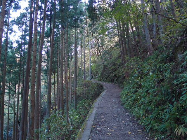
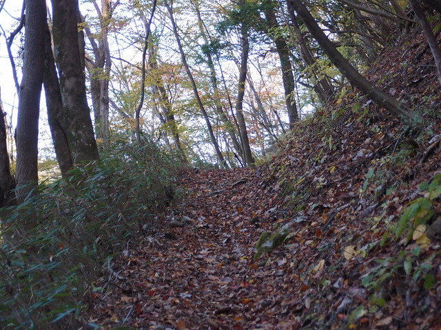
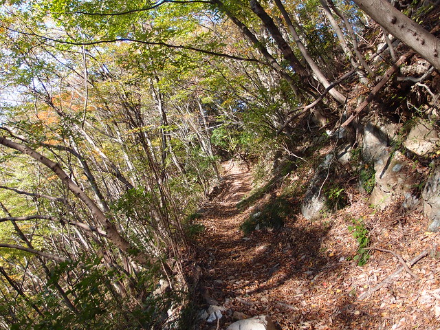
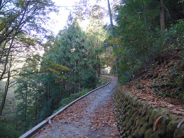
It is a regular and gently sloping mountain path. Also, I barely met anyone along the way, which was nice… Once I got to Mount Mitake (御岳山), since there was still some daylight left, I continued until I reached the summit of Mount Hinode (日の出山), just a short distance away. After that, I went back to Mount Mitake to take the cablecar and then the bus to Mitake station.
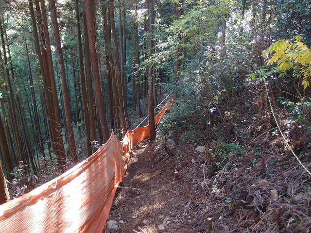
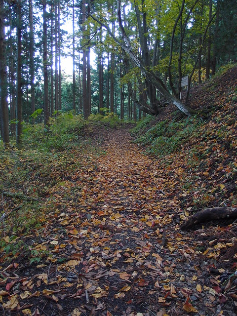
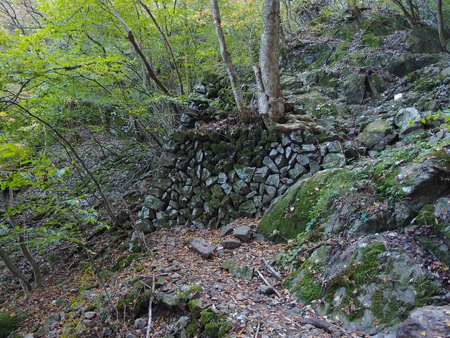
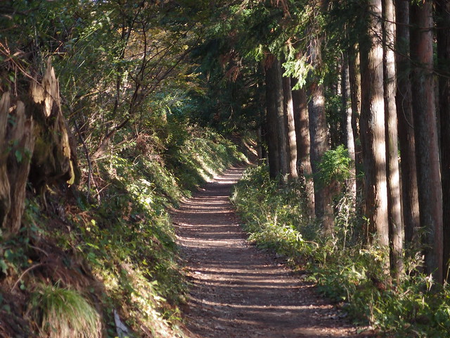
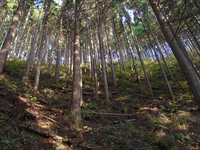
Above, this section is part of the Otama Trail, in the direction of Kori.
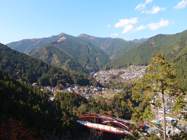
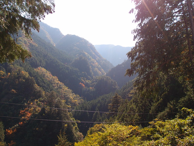
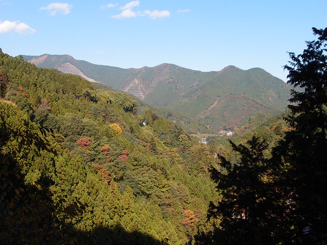
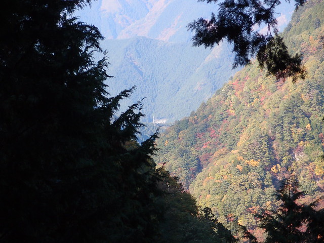
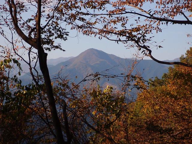
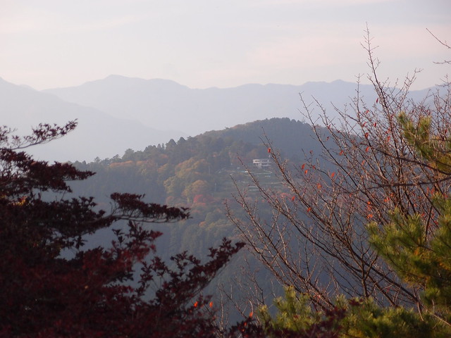
Above, view of Hatonosu.
Above, this is where the trail separates from the Otama Trail.
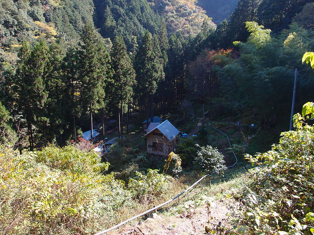
Above, camping ground in the mountain. When I reached there, I realised I had actually missed a fork in the trail (at the paved road). Fortunately, I had not strayed too far.
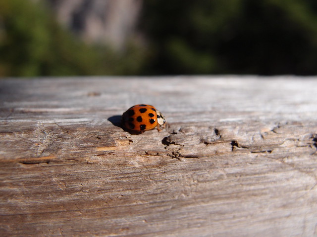
Above, ladybug.
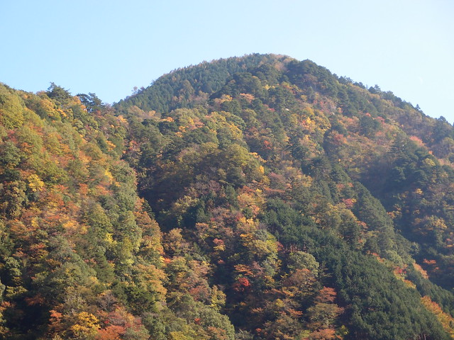
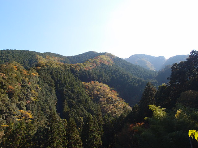
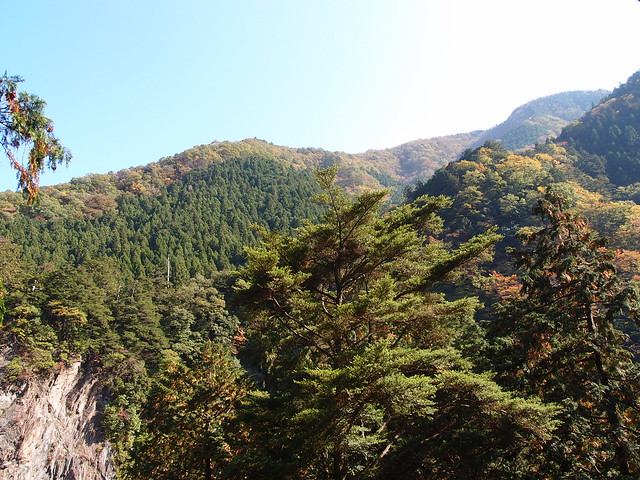
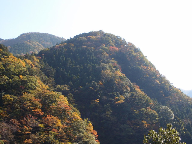
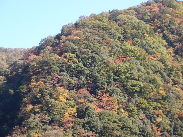
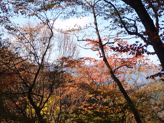
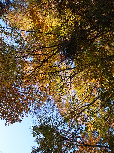
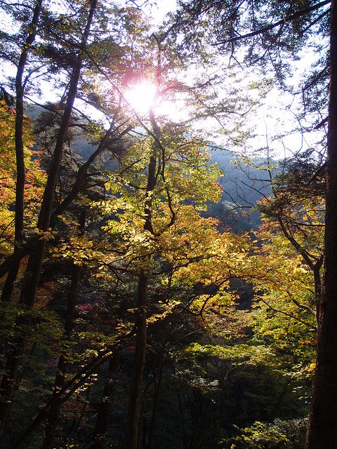
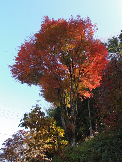
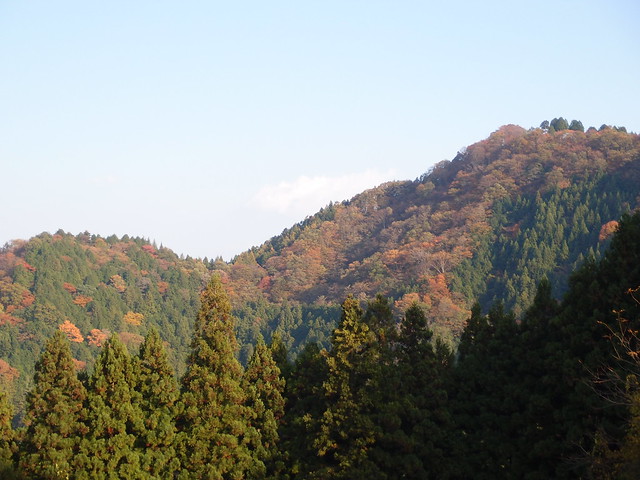
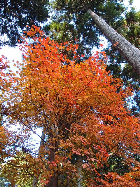
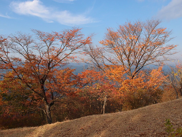
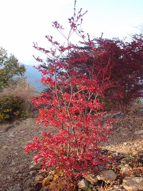
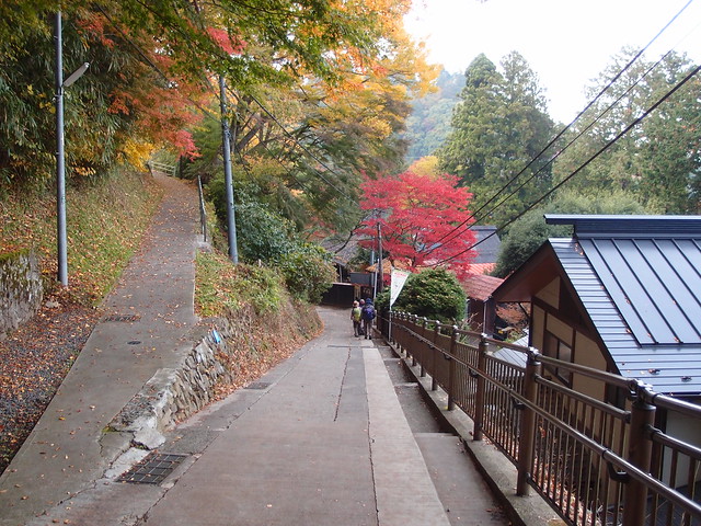
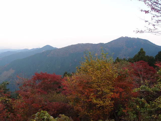
Above, nice autumn colors in the mountains.
Above, arriving at Mount Mitake.
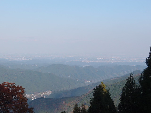
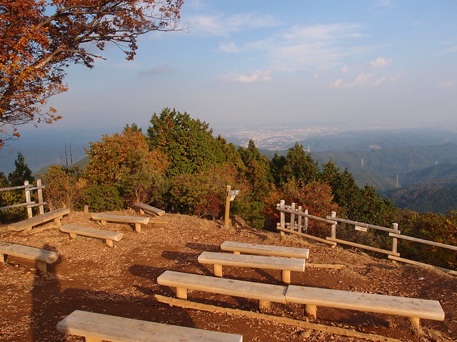
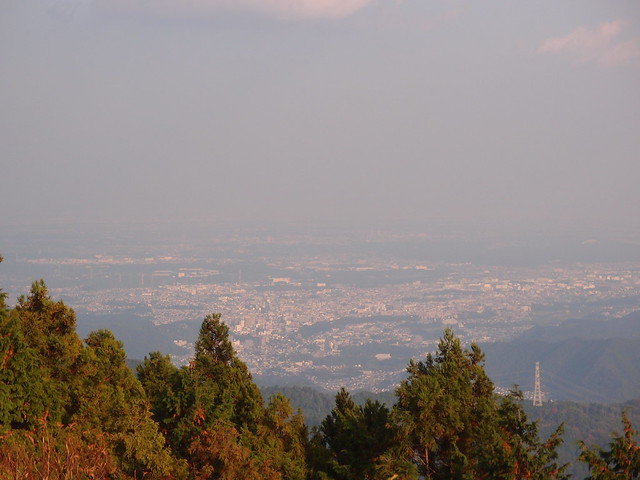
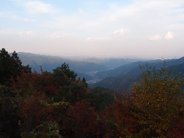
Above, view from Mount Mitake.
Above, trail to Mount Hinode.
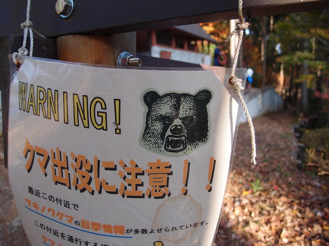
Above, warning against bears. Many hikers in Japan wear a bear bell for safety, although meeting bears is very rare.
Above, at the summit of Mount Hinode.
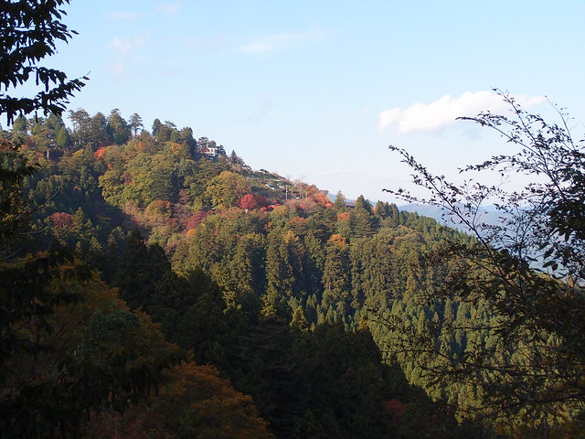
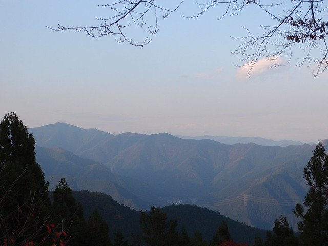
Above, view of Mount Mitake from Mount Hinode.
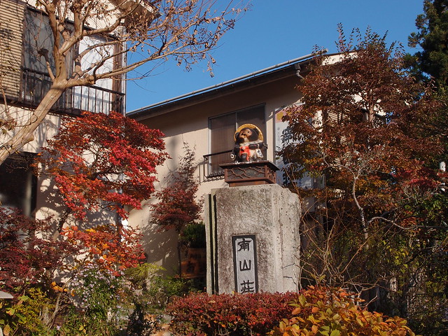
Above, back at Mount Mitake.
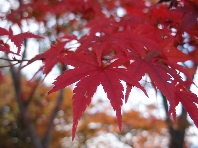
Above, red Japanese Maple leaf.
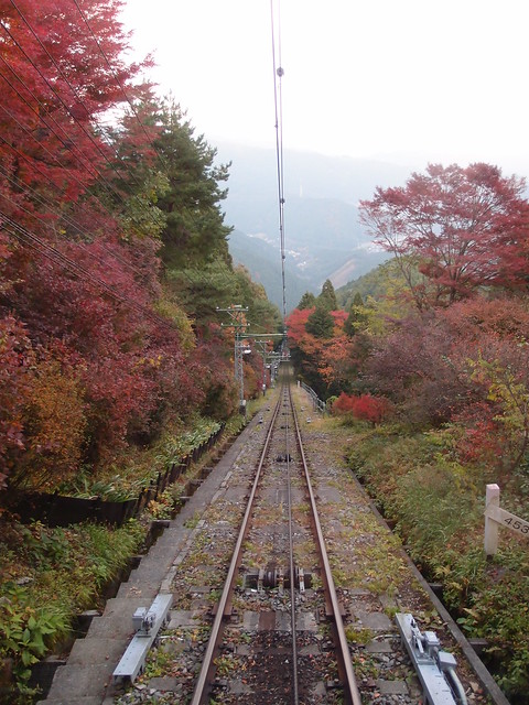
Above, on the cablecar down to Mitake Valley.
