Hike to Mount Tsukuba

Last week, I went on a hike to Mount Tsukuba (筑波山), in the city of Tsukuba (Ibaraki Prefecture), north-east of Tokyo.
Here is a map of the path I walked (download KML):

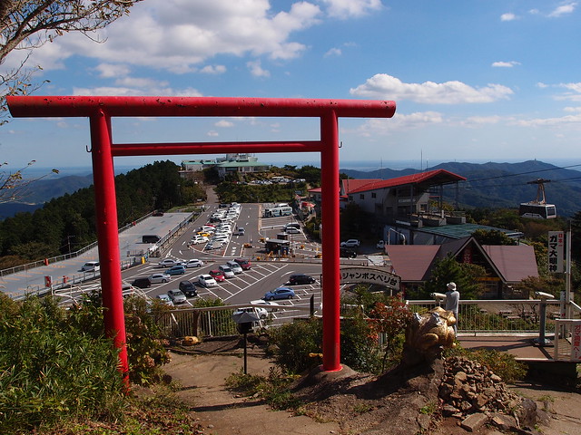
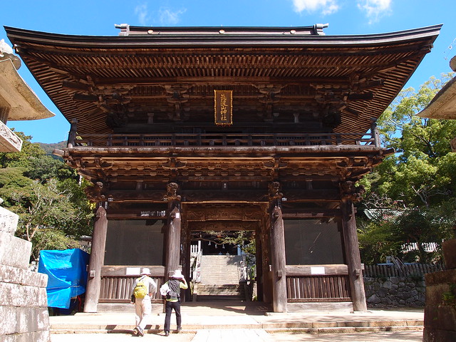
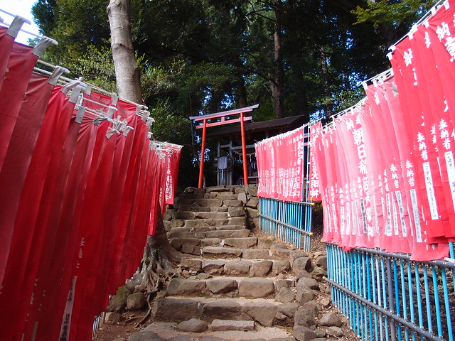
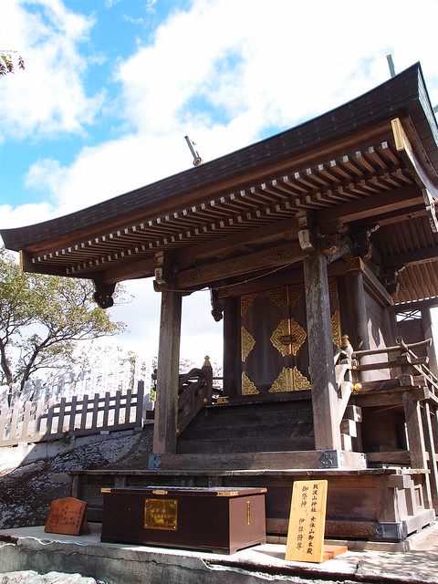
The mountain has 2 peaks: Nantai (871m, literally “male peak”) and Nyotai (877m, “female peak”). Mount Tsukuba has been worshipped for a long time and has a large shinto shrine (筑波山神社) at its base as well as small ones at the summit of the 2 peaks.
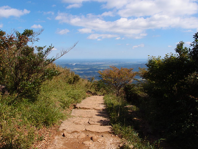
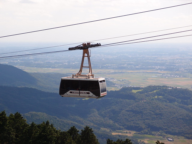
It is possible to get to the top by hiking up or by using either a funicular or gondola (ropeway). I went for the hike and started at Tsukuba Shrine in the morning, after taking a bus there from the Tsukuba train station. At the end of the hike, I took a bus back to the city from the Tsutsujigahoka ropeway station (つつじが丘駅).
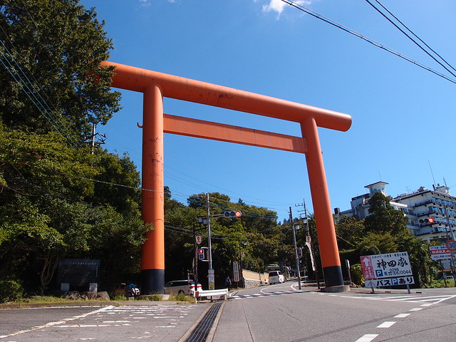
Above, Torii at the entrance of Tsukuba shrine, near the bus stop.
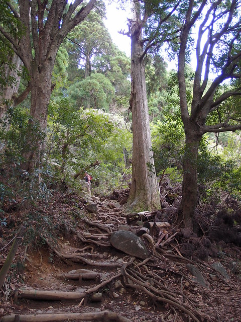
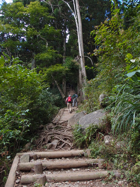
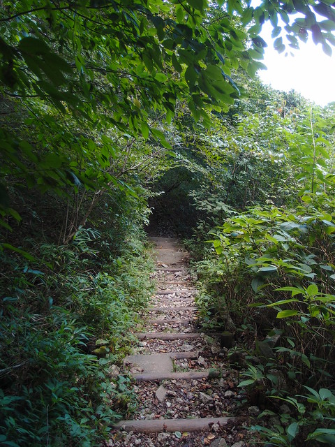
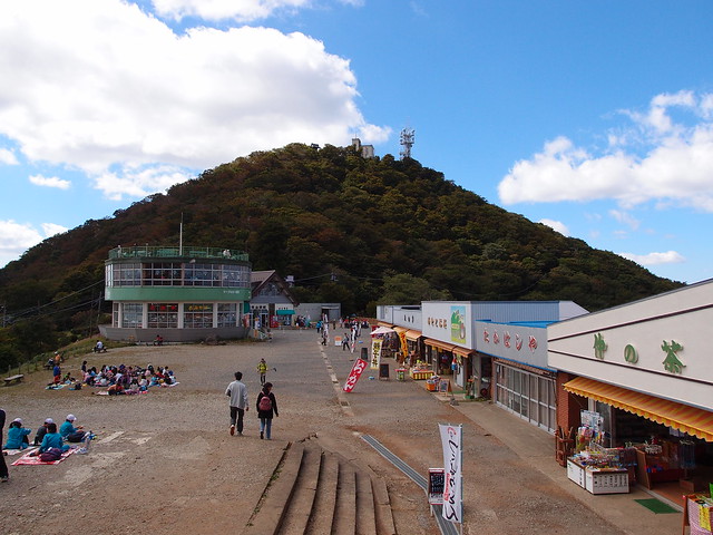
Then I took the so-called Miyukigahara trail that goes up to an area with shops between the 2 peaks.


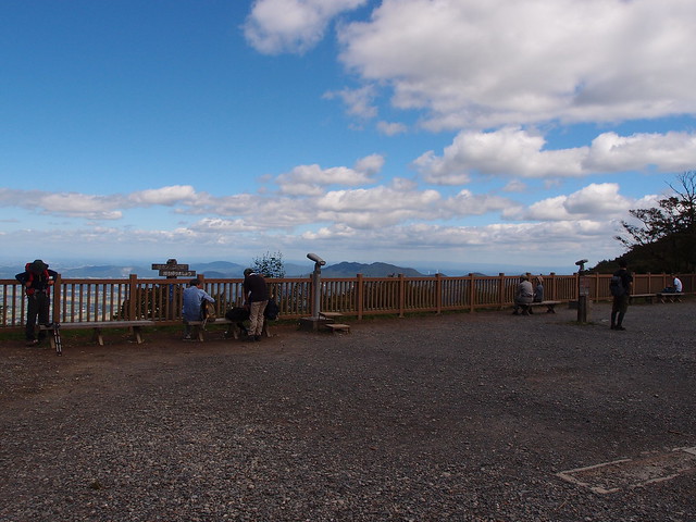
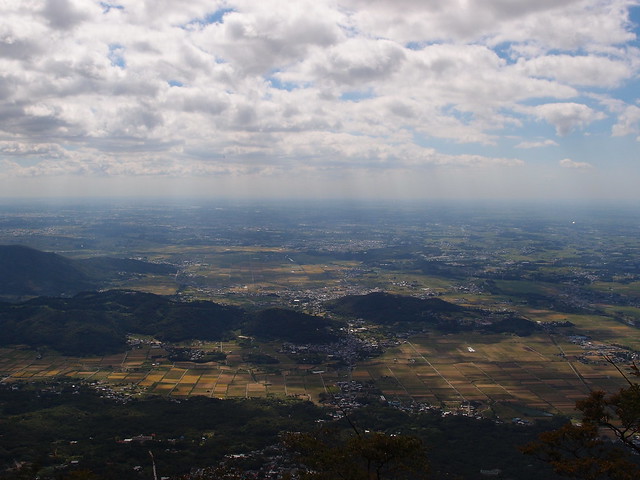
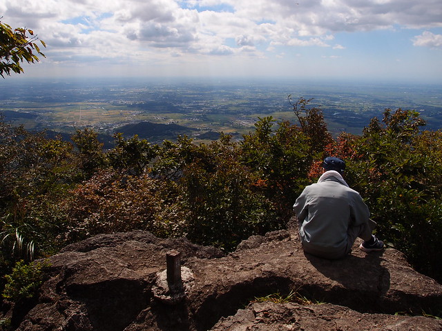
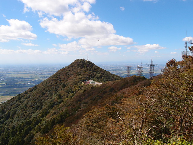
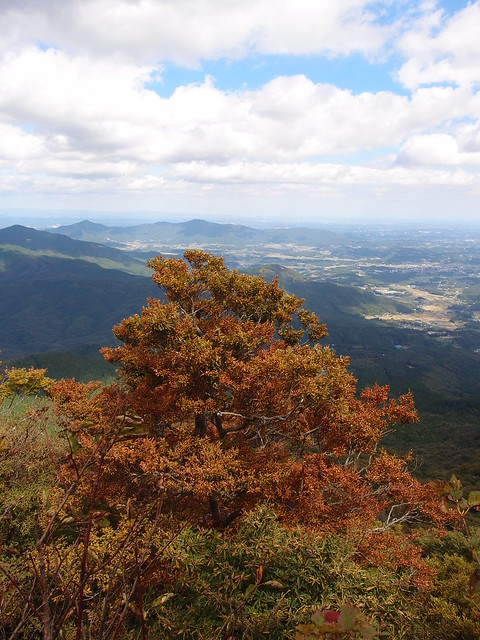
Then I went to the summit of Nantai Peak.
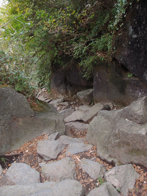
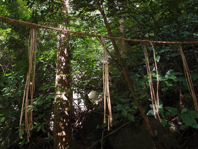
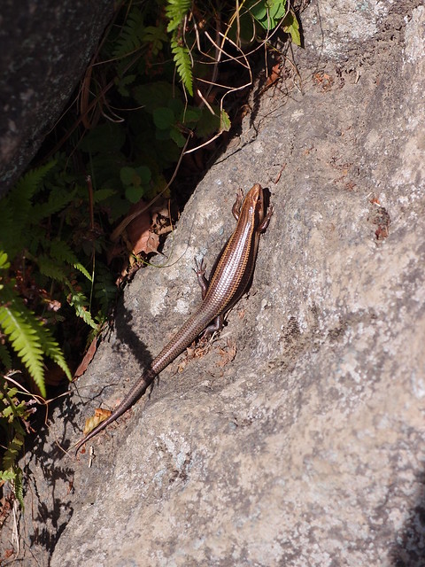
Then I went on a forest trail around Nantai Peak (白雲橋コース).


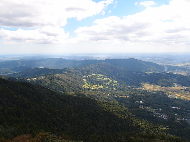
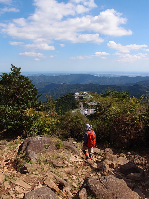
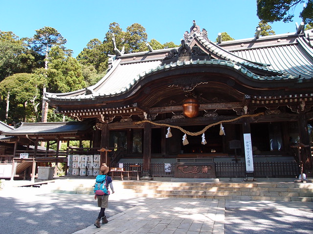
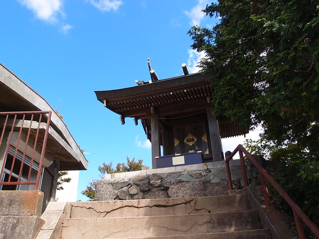
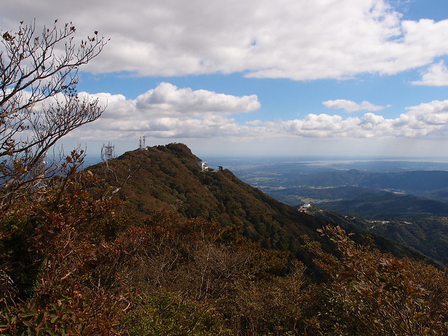
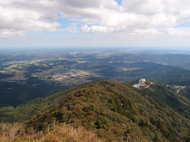
After that, I went up to the summit of Nyotai Peak to take in the view.

Above, Nyotai Peak.

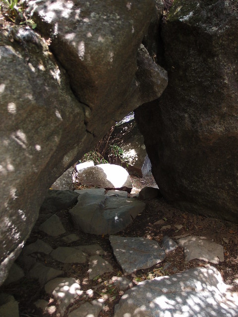
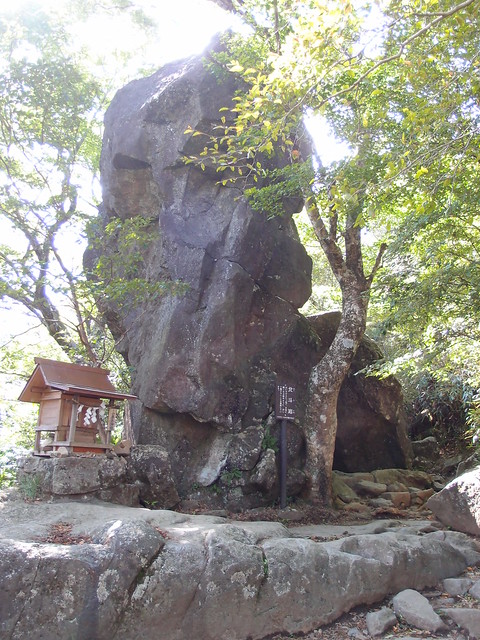
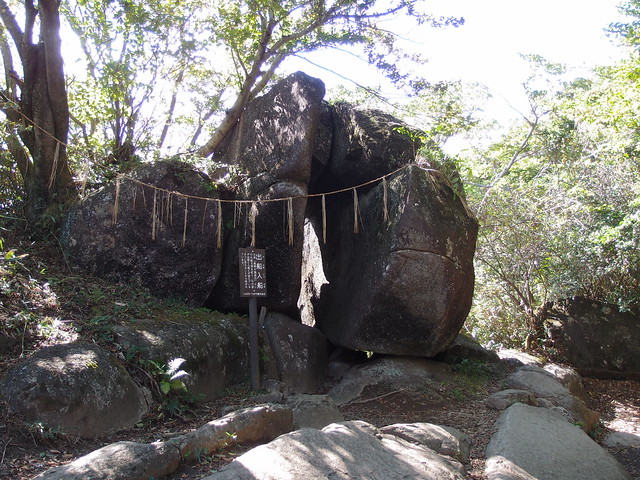
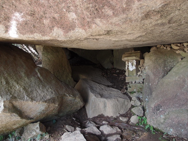
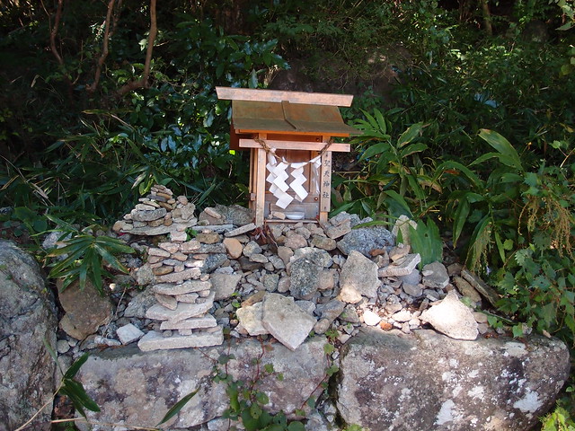
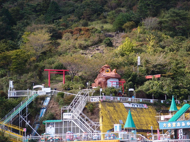
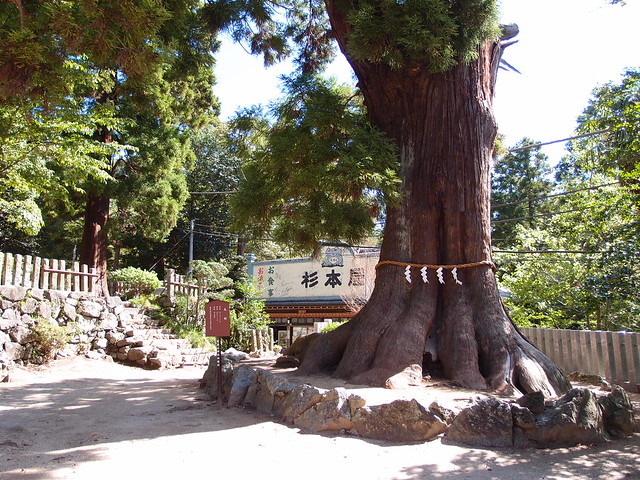
Finally, I went down to Tsutsujigahoka (つつじが丘駅), passing a few sacred rocks along the way.