Hike to Mount Toyama in Nikko

Mount Toyama (外山) is a mountain in Nikko. It is only a short walk (~1.5km) from the World Heritage sites, with great view on Nikko and Mount Nyoho at the summit. Here is a map of the trail.
Mount Toyama (外山) is a mountain in Nikko. It is only a short walk (~1.5km) from the World Heritage sites, with great view on Nikko and Mount Nyoho at the summit. Here is a map of the trail.

As I mentioned in my previous post, I recently went hiking in Naguri (名栗), in Saitama Prefecture. It is a popular hiking area with many trails to choose from. For myself, I followed a trail to Ikusabata station, in Ome City (Tokyo), passing through Mount Bounoore, Mount Iwatakeishi and Mount Takamizu. Here is a map of the trail (in reverse direction).

After the Tenen Hiking Course and Kencho-ji Temple (see part 2), I walked directly to Jocho-ji Temple, where the Daibutsu Hiking Course trailhead is located. This trail goes to the most famous sight in Kamakura: The Daibutsu (Great Buddha) statue at Kotoku-in Temple. It also passes through Genjiyama Park and near the Zeniarai-Benzaiten Shrine.
After the Gionyama Hiking Course (see part 1) and visiting Zuisen-ji Temple, I made my way to the trailhead of the Tenen Hiking Course, which goes to Kencho-ji Temple, in Kita-Kamakura.
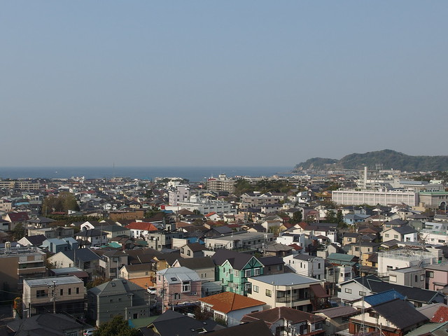
Kamakura is surrounded by the ocean in the south and by wooded hills in all other directions. Attractive hiking trails lead through the woods along these hills and connect Kamakura’s numerous temples and shrines. It is possible to walk them all in one go, starting and ending at train stations.
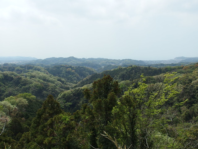
A couple of weeks ago, I went to Okutama in western Tokyo on a hike to Mount Otake and Mount Mitake.
After getting down from Mount Sekirou and/ back at Sagami Dam, I decided to return home using the Tokyo section of the Tokai Nature Trail. It goes from the dam to Mount Shiro (城山) and Mount Takao (高尾山). I then took the lift down Mount Takao to the Keio Takaosanguchi train station.
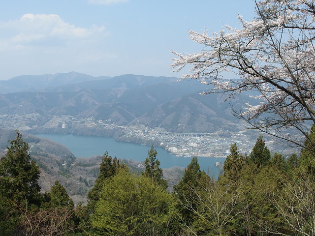
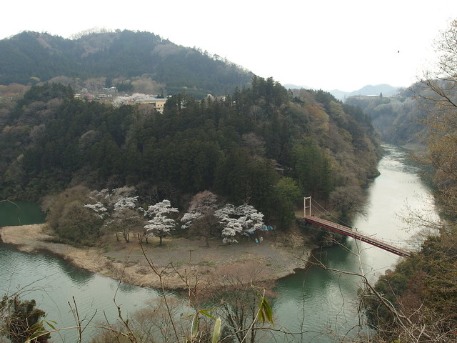
A few weeks ago, I went on a hike near Lake Sagami, west of Tokyo in Kanagawa Prefecture. I followed a section of the Tokai Nature Trail: The whole trail covers 1,697km and goes from Mount Takao in Tokyo all the way to Mount Mino near Osaka.

After getting down from Mount Komagatake and starting from the Hakone-en Komagatake Ropeway station, I walked on the road in the direction of Moto-Hakone, at the southern end of Lake Ashi. I spent some time at the Hakone shrine and at the Hakone Detached Palace. I then took the so-called Outer Rim Trail (外輪山のハイキングコース) that follows the Ashinoko Skyline Road in the mountains west of Lake Ashi. I followed the trail until I reached Togendai, at the northern end of Lake Ashi. I arrived just in time to catch the last express bus to Shinjuku.

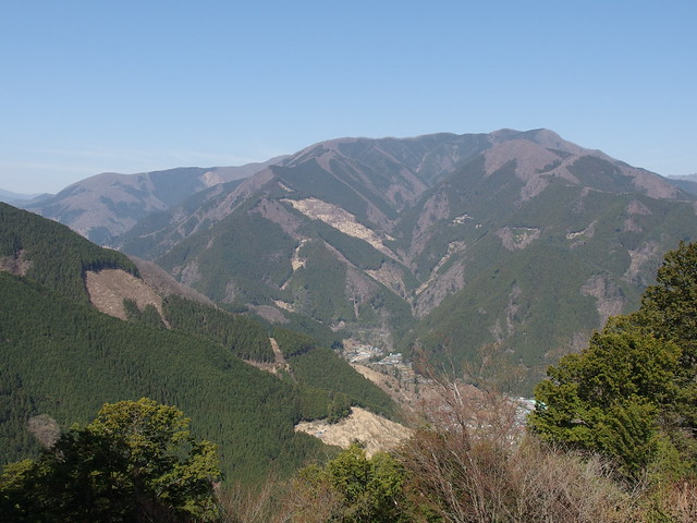
A couple of weeks ago, I went back to Hakone, this time for a hike to Mount Kanmurigatake, Mount Kami (神山; 1438m) and Mount Komagatake (駒ヶ岳; 1327m).