Walk along the Sumida River (Part 3): Arakawa City
This is where the Sumida River borders both Arakawa City (on the south side) and Adachi City (north). It is a bit out of the way but it is a nice and quiet walk.
A nice thing to do after visiting Asakusa and Tokyo Skytree is to walk south along the Sumida River. It is possible to go all the way to Tokyo Bay on foot (for example, ending at Harumi Passenger Ship Terminal). In this post, I stopped at Tsukiji, after making a detour by Tsukishima Island, where the Sumida River forks into 2 channels before reaching Tokyo Bay.
The Sumida River (隅田川; Sumida-gawa) is a river in eastern Tokyo that starts at the Iwabuchi Sluice Gate in Kita and flows into Tokyo Bay. There is a walkway along its bank almost everywhere along the way. Here are photos of the walk starting from Asakusa and going north to Minami-Senju, in Arakawa City.
Above, Sumida River from the Tokyo Skytree observatory.
MOS no French Cruller Guruguru Chorizo. It was a time-limited collaboration between MOS (the burger chain) and Mister Donut (aka Misdo, a doughnut chain), hence the MOSDO name.
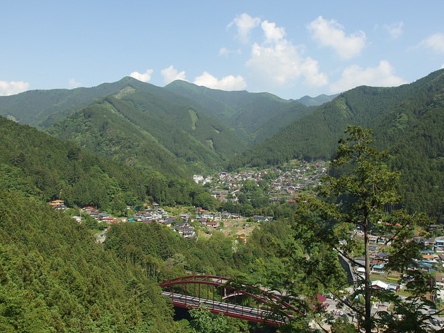
After completing the Otama Walking Trail, I took the bus to Lake Okutama. My goal was to walk the Ikoi trail to the floating bridge but the path was closed for repair. It had also started to rain very hard on the way there so I cut the visit short.
The Otama Walking Trail is a nice and easy 8km trail in Okutama, in western Tokyo. It follows the valley formed by the Tama River from Kori station to Okutama station. I had already followed the section of the trail in Hatonosu Valley last autumn but I came back for the whole trail in spring. It took me about 3.5 hours to reach Okutama.