"Freehand Raster Georefencer" plugin for QGIS
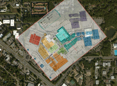
Some time ago, I released a plugin for QGIS called “Freehand Raster Georeferencer” that allows interactive raster georeferencing. It implements some tools (move, rotate, scale, stretch…) to manipulate a raster directly on the map, on top of the other layers. This is in contrast with the standard raster georeferencing tool of QGIS, which needs control points and then an export to be able to check the georeferencing.


