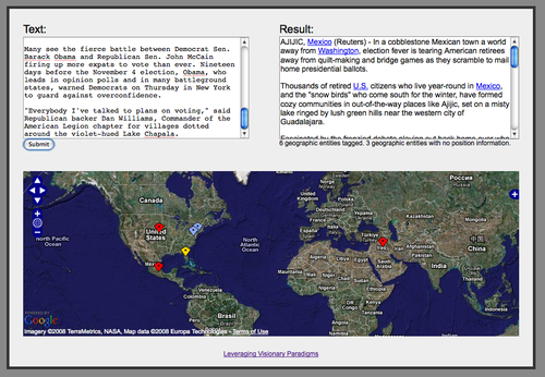
Tutorial : Text geotagging with OpenCalais
This tutorial will show how to use version 3.1 of the Calais API to identify geographic references in a text and display them on an OpenLayers map. I am going to use the Calais API with JSON output (which is a new feature of version 3.1), so that all the processing can be done easily in JavaScript entirely inside a web browser.
