Hike to Petit & Grand Croisse Baulet
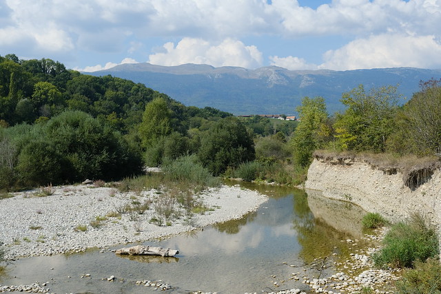
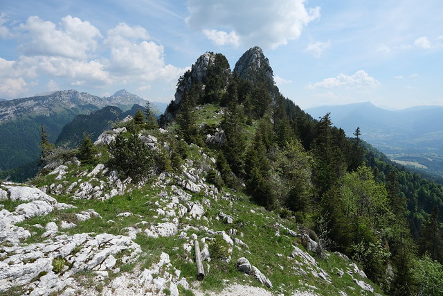
During the summer of 2020, I went on a hike to Petit Croisse Baulet and Grand Croisse Baulet, starting in Megève and ending in Sallanches.
At the end of winter 2021, I went on a hike to Rochers de l’Aigle, above Bonneville.
Last summer, I went on a hike in Le Bouchet-Mont-Charvin near Thônes, walking through 3 passes there: Col de la Botte, Col du Fer and Col de l’Épine.
At the beginning of autumn, I went on a hike to Tête à Turpin, in the Bornes mountains near Thônes.
Last summer, starting from La Clusaz, I went on a hike to Belvédère de Merdassier and Pointe de Merdassier, above Col des Aravis.
During the summer of 2020, I went on a hike along the right bank of the Rhône in Geneva: Starting from Pont de Sous-Terre in the city, I walked all the way to Russin.
It is not as straightforward or pleasant as the Sentier du Rhône on the left bank but the path has its moments. Since then, I also walked a third section of the Rhône in Geneva: Starting in Valleiry (in France), I crossed the border at the Far West of Geneva and walked upstream towards Russin. Here are some photos.
At the end of the summer of 2020, I went on a hike to Dent du Cruet and Pointe de Talamarche.
Earlier this year, at the beginning of summer, I went on a short hike to Crêt de la Dame and Mont Pelé, in Allonzier-la-Caille north of Annecy.
Mont Pelé is the small mountain that can be seen from Pont de la Caille when looking towards Allonzier. I couldn’t find a hike report or guide about it online so I went to check it out, walking a loop through the two mountains.
Here is a map of all the hike reports around Annecy featured on this blog:
There are also some simple city walks and a few bike routes. It is possible to click on the marker and a link to the corresponding blog page will be shown on the left. In the future, I will try to add hikes to it whenever I make a new post. I have also added a link on the right side of the blog.
For convenience, here is a KML with all the hikes that can be opened in Google Earth.
I know the map looks quite messy but my former blog provider (Wordpress.com) only allowed Google Maps to be embedded so I went with Google My Maps. It is not as full-featured as other hike-oriented websites but, since I moved to a new host, I intend to make a better version in the near future.
In the summer of 2020, I went on a hike to Mont Margeriaz in the Bauges mountains, taking the path through Golet de l’Agneau from La Féclaz.