Paris in 3D with QGIS and three.js
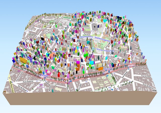
Some time ago, I saw this article about using the Qgis2threejs plugin to export a QGIS map as a 3D visualisation in the browser, thanks to three.js and WebGL. When I recently tried to follow the post to reproduce the results, I had some problem sourcing the data (related to Vienna, Austria) so instead I searched for data related to Paris to create a similar scene. Here is the result corresponding to the screenshot above and another one with aerial photos, both showing the Montmartre area of Paris.

