Offline hiking maps with QGIS 3 and Geopaparazzi
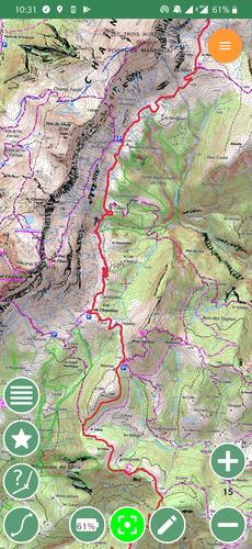
In this post, I will show how to export background maps (as a set of MBTiles files) from QGIS 3 and import them in Geopaparazzi on Android to serve as backup offline hiking maps when far from civilization and mobile coverage.
It can be useful in France, where interesting maps to have while hiking are the IGN ones like Carte Topographique IGN (Scan 25) or their standard map (Scan Express Standard). They are accessible freely through the Geoportail mobile app. Unfortunately, the app doesn’t support offline mode.
