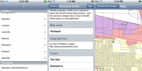
AGS Touch: ArcGIS Server browser for iPhone/iPod Touch
I had been trying to get into iPhone / iPod Touch application development for some time, but I was just too lazy until I bought a few weeks ago an iPod Touch (which I really like - I am playing the Sudoku game from Mighty Mighty Good Games all the time).
