Hike to Pointe d'Orsière
In the summer of 2021, I went on a hike to Pointe d’Orsière, starting from Le Bouchet-Mont-Charvin and ending in Manigod.
Here is a map of the path I walked:
- Download path KML
- Download large map
- More photos on Flickr
- Day of the hike: July 10, 2021
In the morning, I took a Car Région bus to Thônes then switched to a CCVT summer shuttle to Le Bouchet-Mont-Charvin. I starting walking from there towards Sur le Freu, below La Tulle. I then walked a trail in the pasture to La Riondaz and Pointe d’Orsière. There was a great view from the summit, especially on the Aravis. I started on the way down towards the Fier river then took a path to Cascade de Burgeat. However, I took a wrong fork so I couldn’t see it in the end (I went back in 2022). I realised at that point I was possibly going to be late for the last bus from Manigod. So I hurried but I took a wrong path again so that there was no way I was going to be in Manigod in time. After getting back to a known path, I ended up walking along the paved road to the village, while watching a rainstorm approaching. I had to stay the night outside in Manigod until the rain stopped and walked to Thônes in the morning, in order to take the bus back to Annecy.
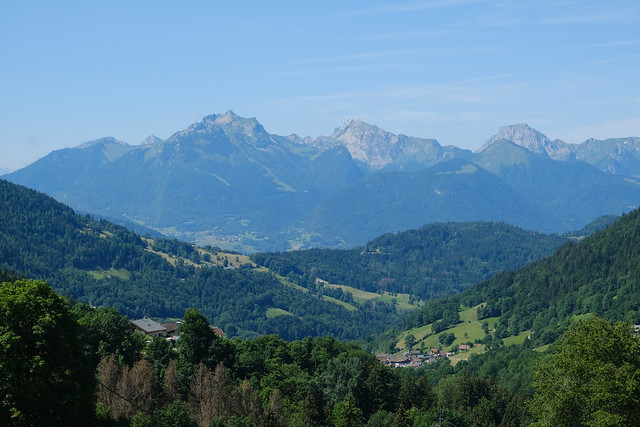
▲ At Le Bouchet-Mont-Charvin, looking towards Mont Charvin and the Aravis.
▲ Crossing the Chaise river. It flows into the Arly river in Ugine.
▲ Chaise.
▲ Looking back towards the village of Le Bouchet-Mont-Charvin.
▲ Col de l’Épine and Bauges in the background.
▲ Chalet du Bétex.
▲ Mont Charvin.
▲ Abondance cows on the path.
▲ Below La Tulle. I climbed it in 2023.
▲ La Riondaz.
▲ Dirt road towards Chalet du Freu.
▲ Montagne de Sulens.
▲ Exit of Passage du Freu.
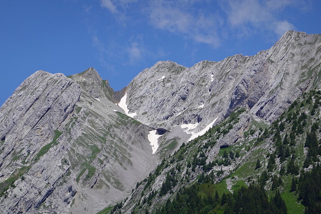
▲ Aiguille de Manigod and Pointe de la Mandallaz.
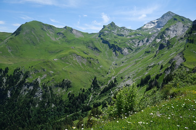
▲ Towards the source of the Fier river. Mont Charvin is on the right.
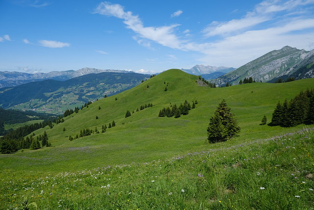
▲ View from La Riondaz.
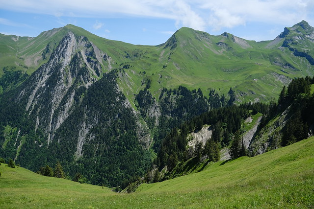
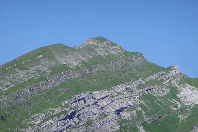
▲ Pointe d’Orsière seen from La Riondaz.
▲ Mont Téret.
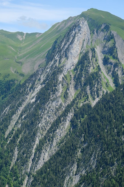
▲ Aiguille de Manigod.
▲ Below the summit of Pointe d’Orsière, looking towards Mont Charvin.
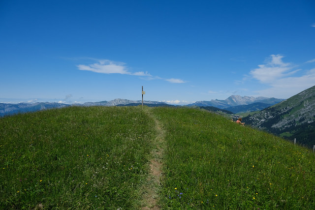
▲ Summit of Pointe d’Orsière.
▲ Pointe de Merdassier and L’Étale.
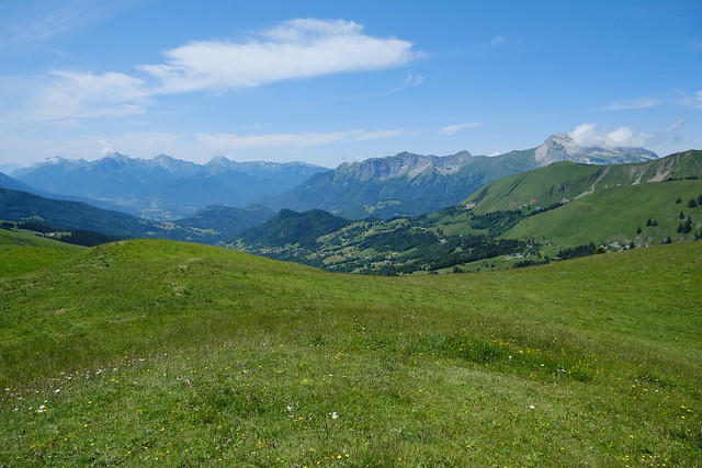
▲ Aravis.
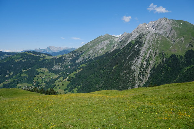
▲ Mont Charvin.
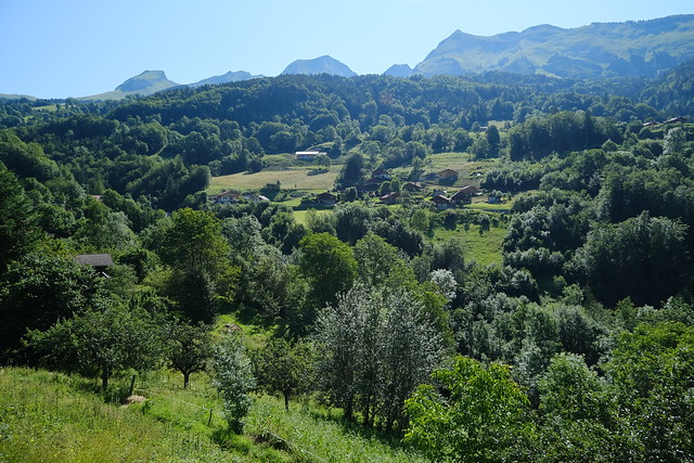
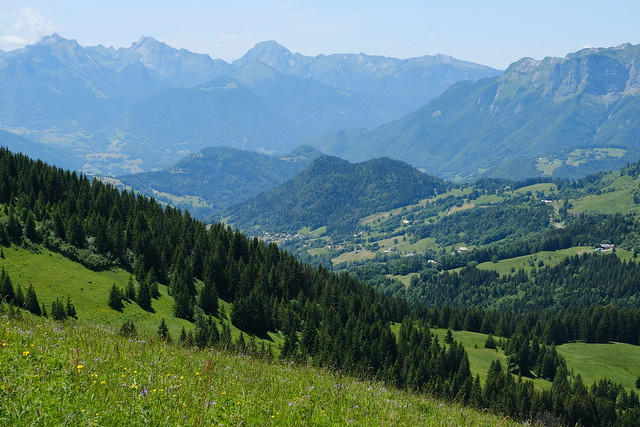
▲ Towards the village of Le Bouchet-Mont-Charvin.
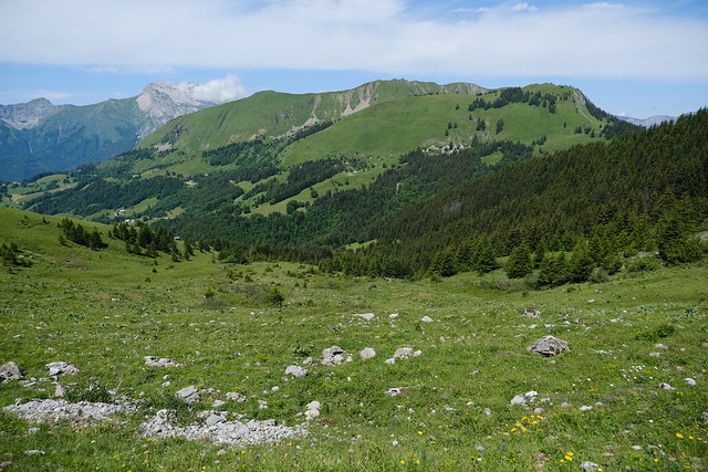
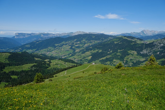
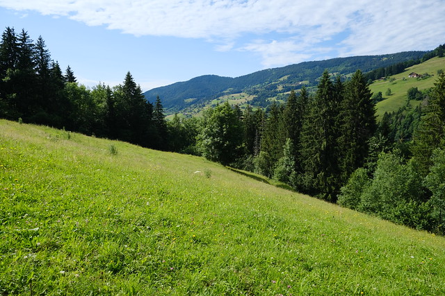
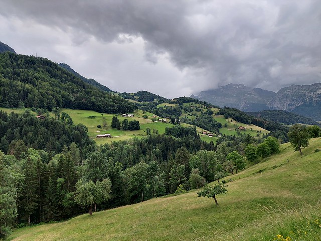
▲ On the way down, looking towards Manigod.
▲ Col de Merdassier on the left.
▲ Pointe d’Orsière seen from near Col de Merdassier.
▲ Montagne de Sulens.
▲ Pointe de Merdassier.
▲ L’Étale.
▲ War memorial.
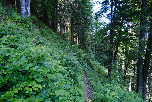
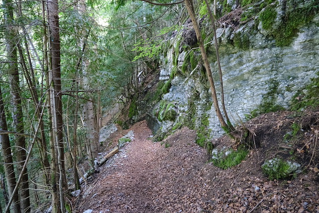
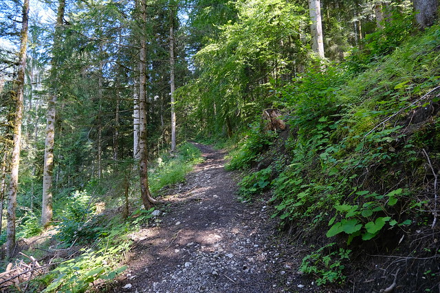
▲ Steep trail.
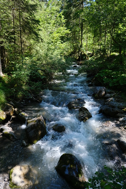
▲ Fier.
▲ On the way to Cascade de Burgeat but I took a wrong fork at some point then I realised I was going to be late for the bus so didn’t try the other fork.
▲ Towards Combe de la Blonnière.
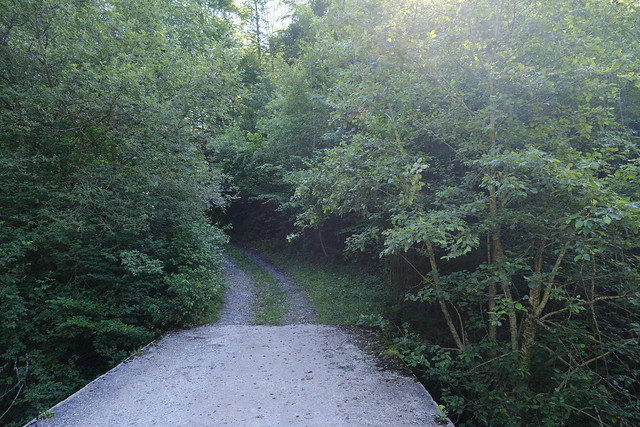
▲ Broken bridge on Nant de Sulens. There is a new bridge on a trail that forked a little before, but I missed that.
▲ Fier river. I took a wrong fork again and walked a small trail along the Fier. It led nowhere but I kept at it. I arrived at a dead end. Since I was late, instead of doubling back, I climbed up in order to get back to the trail on the map.
▲ Manigod.
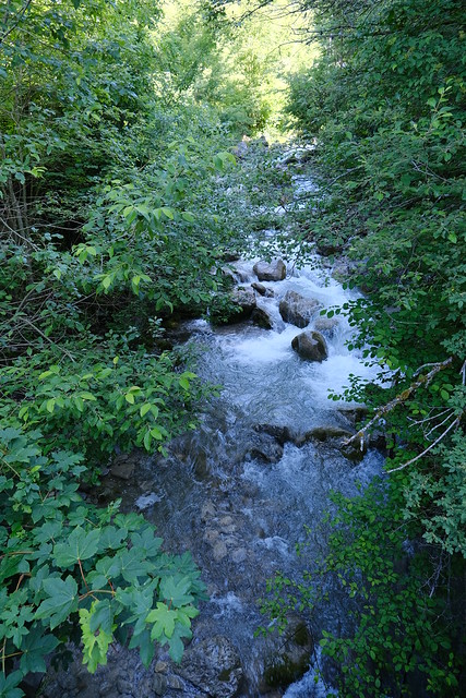
▲ Fier river.
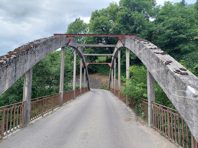
▲ Pont des Choseaux across Nant Bruyant.
▲ A storm is coming.
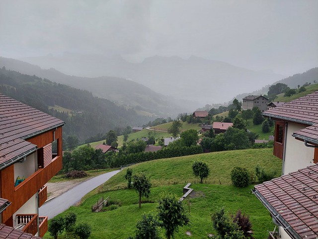
▲ Rainstorm. I had missed the last bus and I couldn’t walk to Thônes and a hotel because of the rain. So I took shelter in the village for the night while waiting for the rain to stop. The temperature had dropped quite a bit, so it was very uncomfortable.
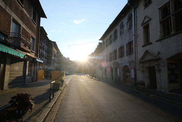
▲ In early morning, I walked the road to Thônes and arrived for sunrise.
