Hike to Montriond & Pointe de la Sambuy through Banc de la Linguale
Last summer, I went on a hike to Montriond and Pointe de la Sambuy. I had already been a few times to La Sambuy but this time, I didn’t take the chairlift on the way up. Instead, I started from Station de la Sambuy and passed through Chalets de l’Aulp de Seythenex and Banc de la Linguale.
Here is a map of the path I walked:
- Download path KML
- Download large map
- More photos on Flickr
- Day of the hike: July 31, 2023
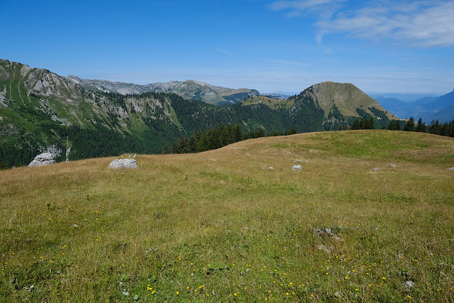
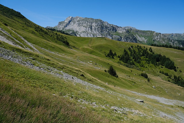
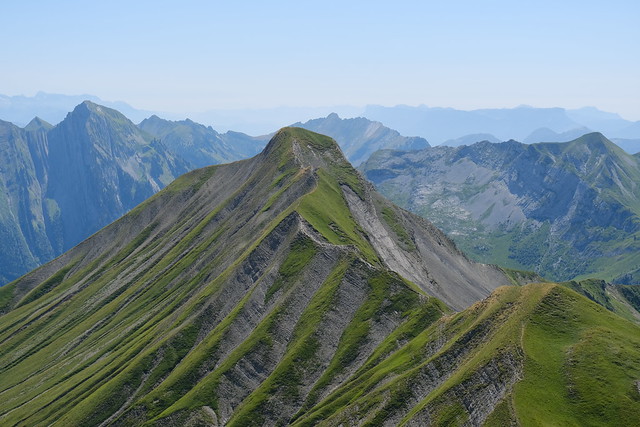
In the morning, I boarded a Car Région bus (line Y51) to Lathuile and waited for the summer shuttle to Station de la Sambuy. At the resort, I started walking up towards Chalets de l’Aulp de Seythenex, but before I reached it, I took a fork towards Montriond, a minor summit. There is no marked path and the trail is faint but it follows the narrow ridge so it was hard to stray. There was a good view from the summit. I then went down Montriond and continued on the way up until the Chalets.
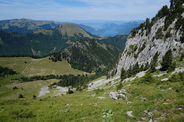
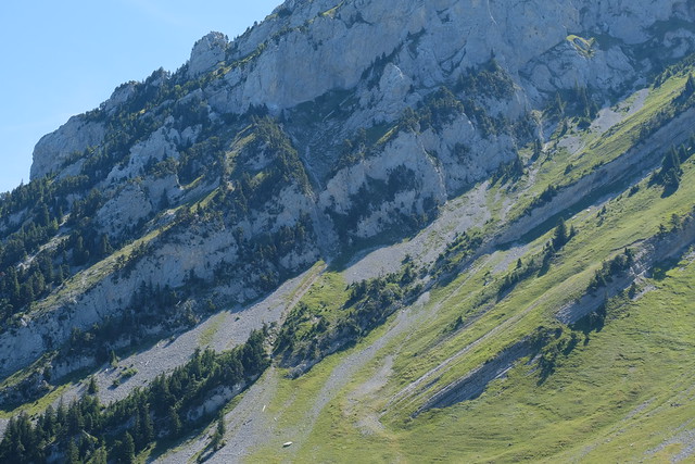
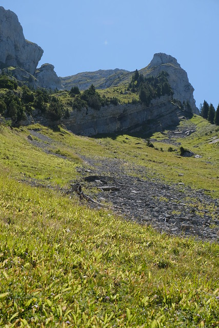
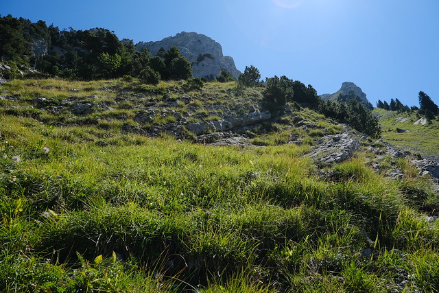
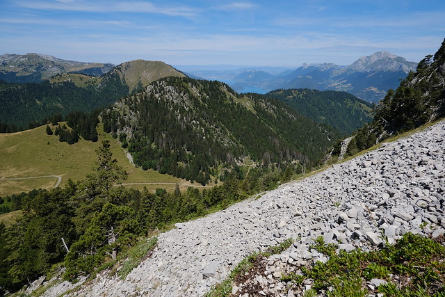
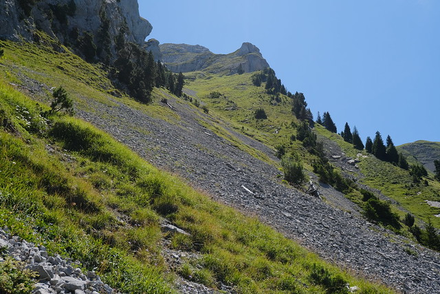
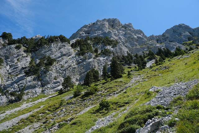
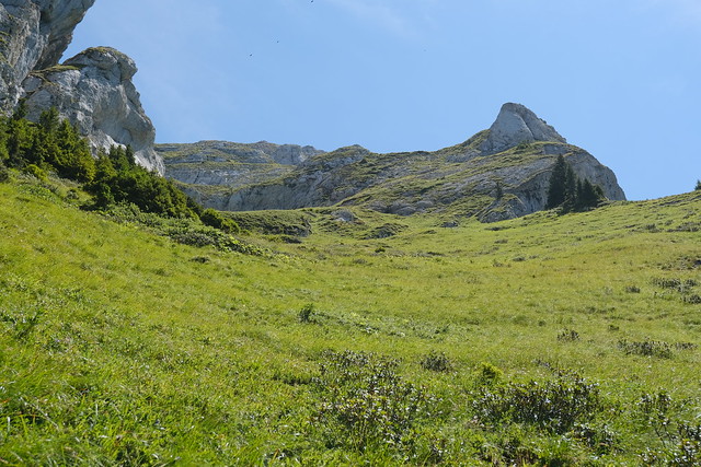
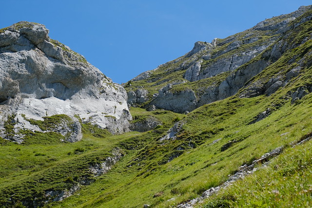
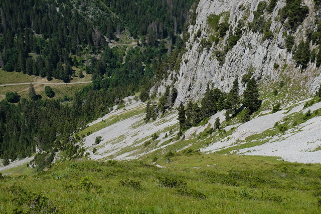
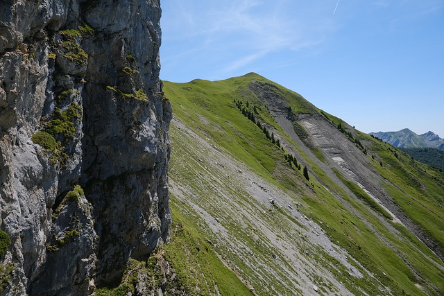
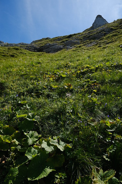
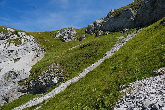
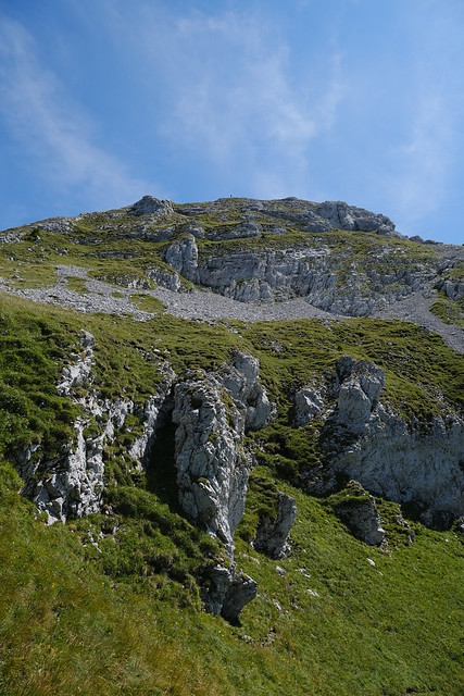
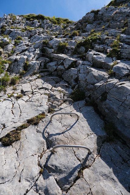
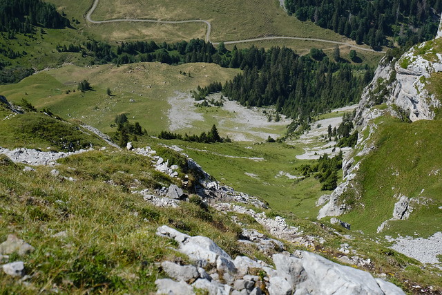
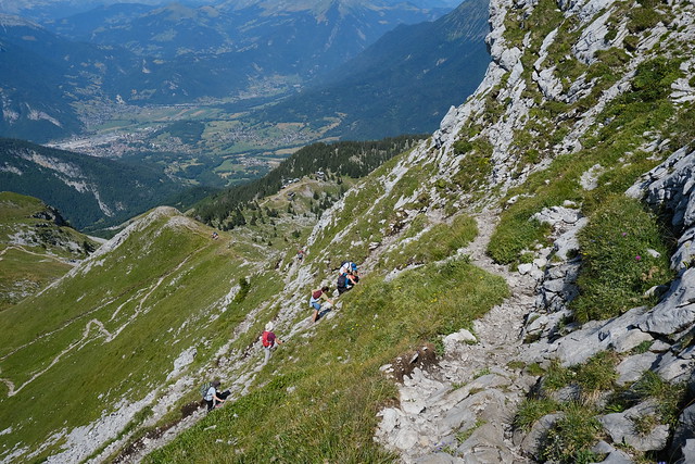
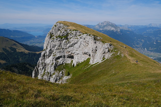
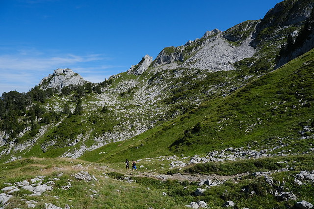
From there, I walked off-trail through the pasture to get to the start of the path through Banc de la Linguale: It is a passage to Col de la Sambuy that is mostly grass and separated from the pasture by a cliff, although there are a few passages to get through. Once on the Banc, I had to cross a few screes with loose rocks in order to finally reach grass. There was no visible path on the way up to Col de la Sambuy and it was quite steep. After a while, I arrived at the Col.
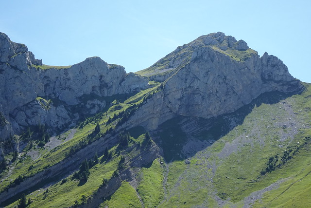
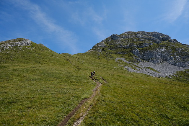
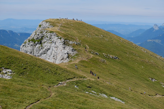
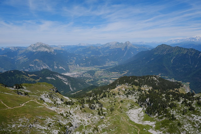
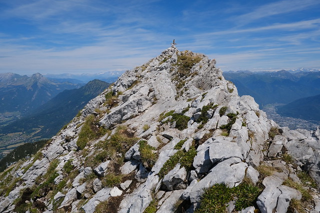
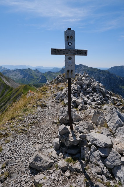
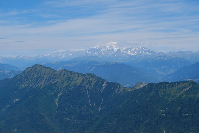
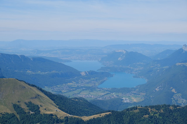
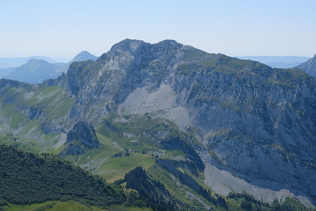
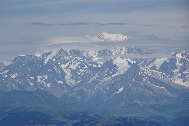
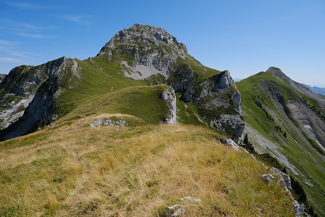
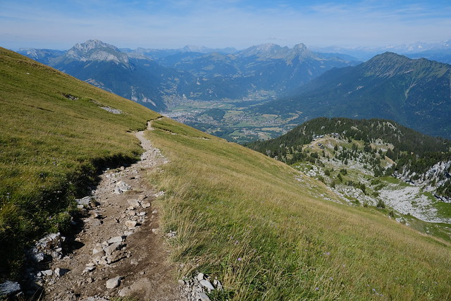
In the morning, I thought I would go back down directly. However, there was still some time until the chairlift closed for the day, and since it would stop operating after that summer, in the end, I decided to go up to Pointe de la Sambuy one last time. The path to the summit was steep but there was a great view at the top. Mont Blanc and Lake Annecy could be seen. On the way down, I made a detour to Petite Sambuy then walked down to the chairlift station. At the lower station, I waited for the shuttle to Faverges.
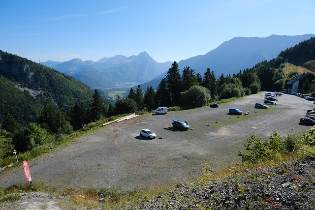
▲ Car park at Station de la Sambuy.
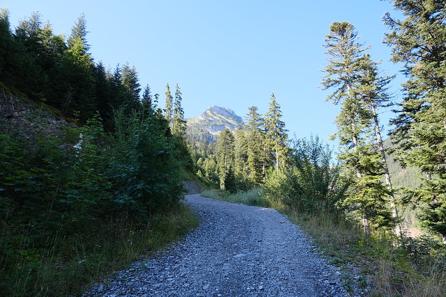
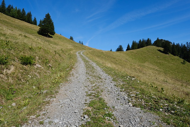
▲ Dirt road to Chalets de l’Aulp de Seythenex.
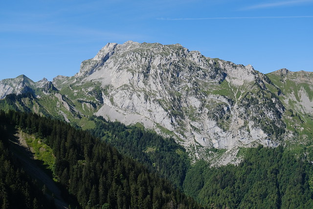
▲ Pointe de la Sambuy.
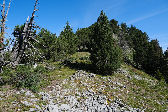
▲ Start of the Montriond ridge.
▲ Barb wire to go under and a rock to go around.
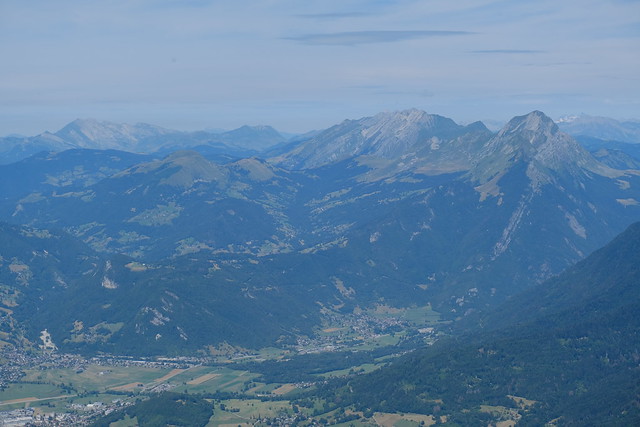
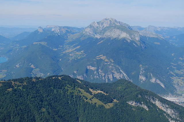
▲ Pointe d’Arcalod, the highest summit of the Bauges mountains.
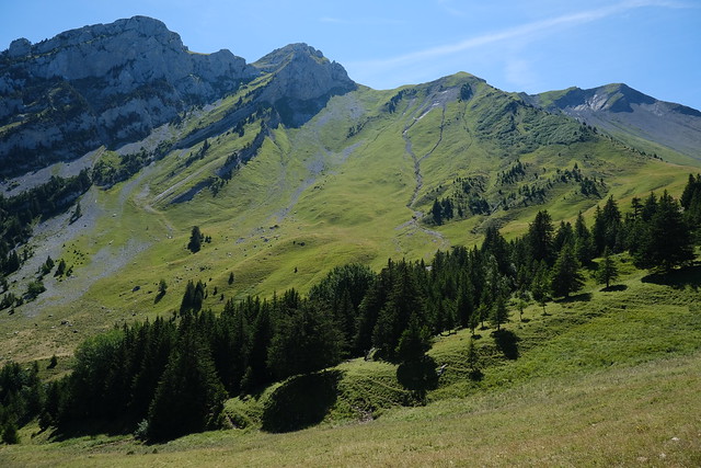
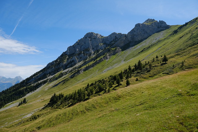
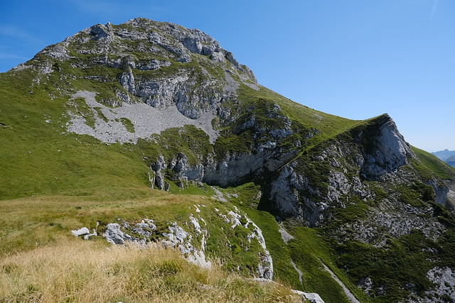
▲ Pointe de la Sambuy, with Banc de la Linguale below.
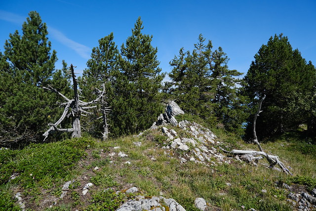
▲ Summit of Montriond.
▲ Towards Faverges.
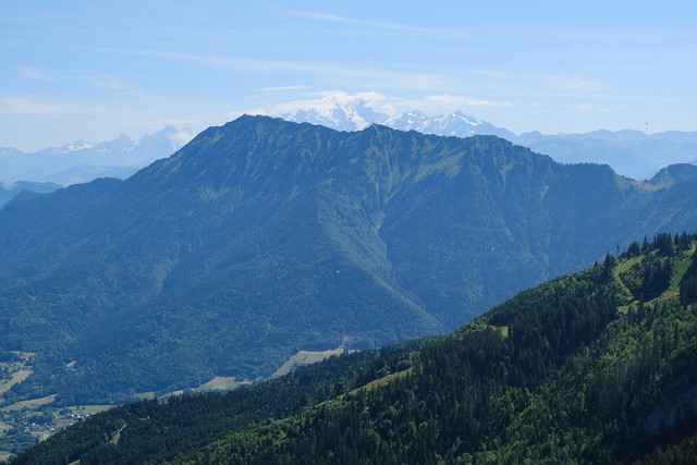
▲ Dent de Cons and Mont Blanc.
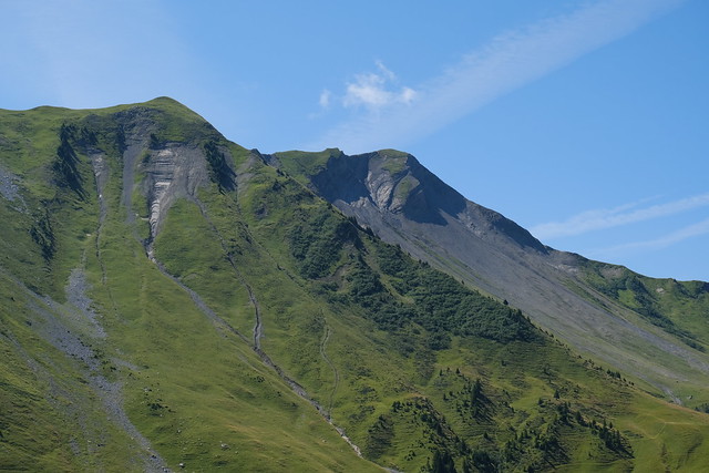
▲ Pointe de Chaurionde.
▲ On the way back down.
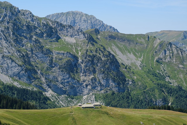
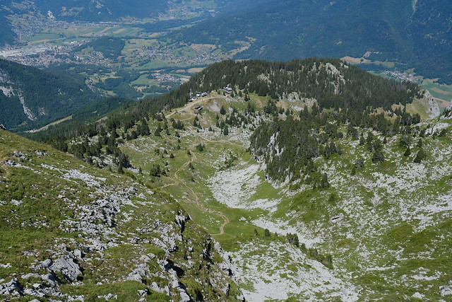
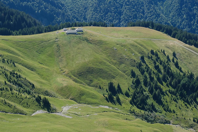
▲ Chalets de l’Aulp de Seythenex.
▲ Back on the dirt road.
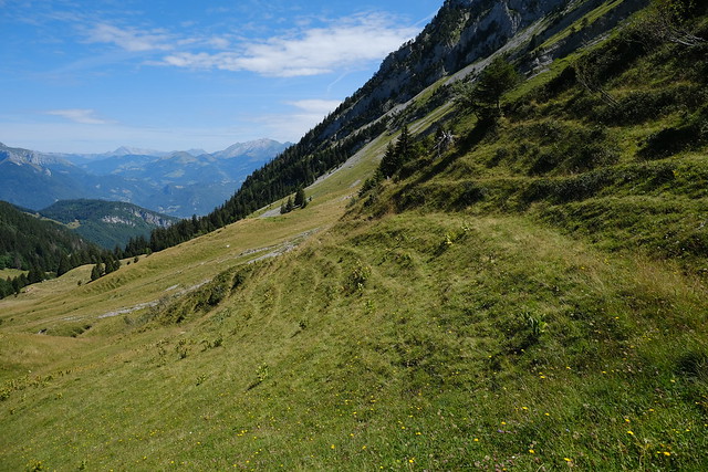
▲ The paths to get on Banc de la Linguale.
▲ Chalets de l’Aulp de Seythenex.
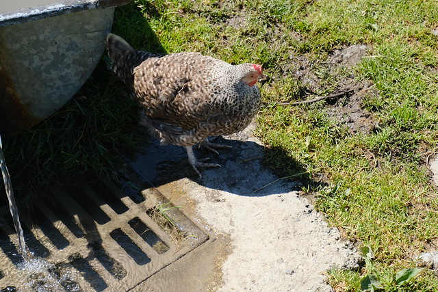
▲ Free range chicken.
▲ On the way through the pasture.
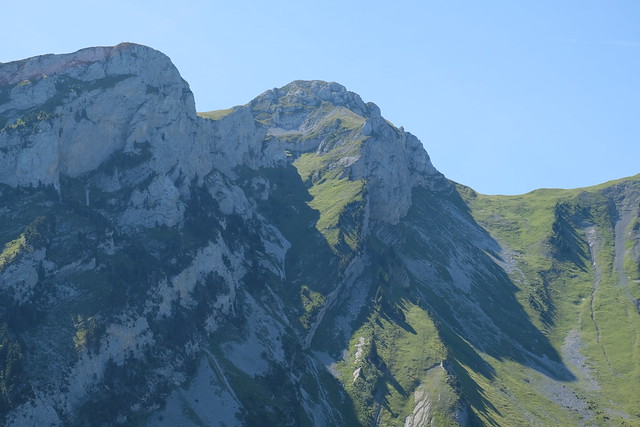
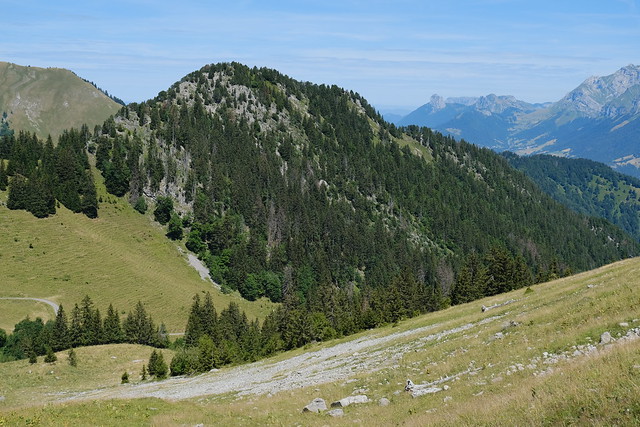
▲ Montriond.
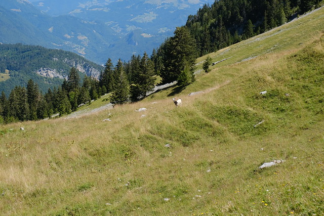
▲ A solitary goat.
▲ Montriond.
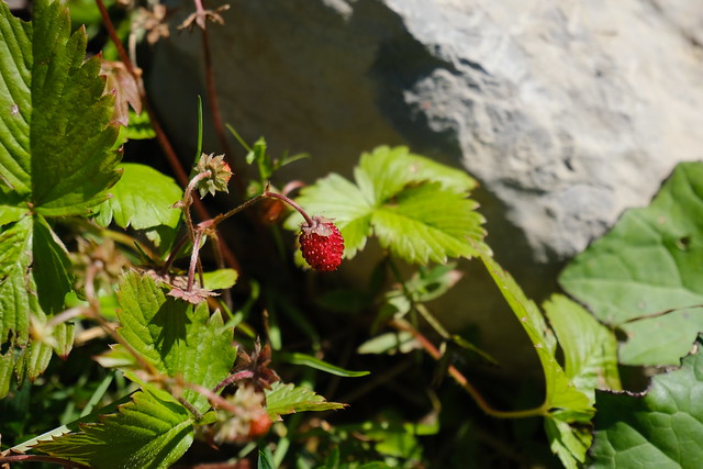
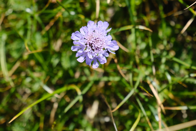
▲ Strawberry.
▲ Alternative passage (I think).
▲ Instead, I took the most direct path to get on Banc de la Linguale. Not sure it was wise since I had to cross the screes.
▲ Pointe de la Sambuy.
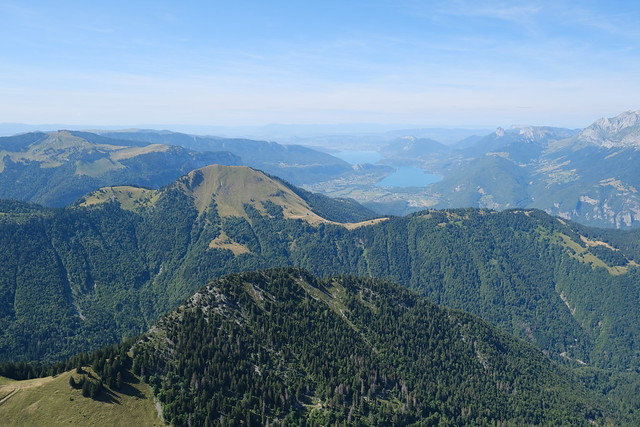
▲ View of Lake Annecy.
▲ On Banc de la Linguale.
▲ Below Petite Sambuy.
▲ Grass.
▲ Lake Annecy.
▲ Chalets de l’Aulp de Seythenex.
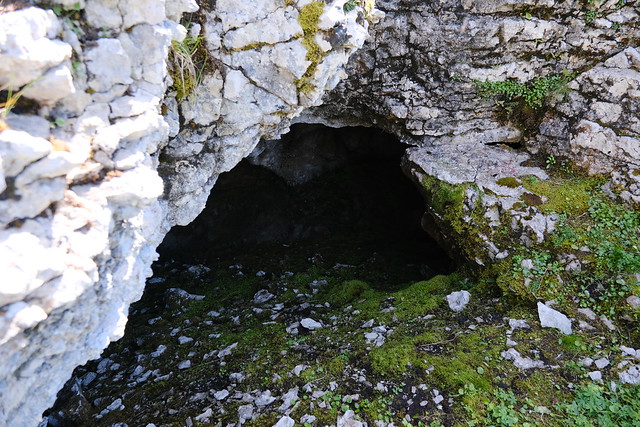
▲ Caves. There were birds nesting inside.
▲ Looking back.
▲ One last steep part.
▲ A small cave.
▲ Col de la Sambuy in view.
▲ At Col de la Sambuy.
▲ I joined with the main trail to Pointe de la Sambuy.
▲ Many people on Petite Sambuy.
▲ Towards Faverges.
▲ On the way up Pointe de la Sambuy.
▲ Summit.
▲ Banc de la Linguale below.
▲ Petite Sambuy and Lake Annecy.
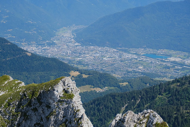
▲ Albertville.
▲ Mont Blanc.
▲ Lake Annecy.
▲ Pointe d’Arcalod.
▲ Mont Blanc.
▲ Montriond.
▲ On the way down.
▲ Towards the upper station of Télésiège de la Sambuy.
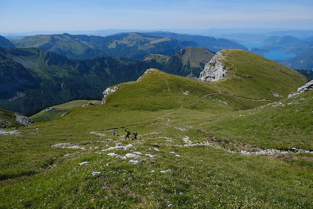
▲ Pointe de la Sambuy and Col de la Sambuy.
▲ Petite Sambuy.
▲ Montriond, Pointe du Velan and Lake Annecy seen from Petite Sambuy.
▲ Chalets de l’Aulp de Seythenex.
▲ La Tournette.
▲ On the way down.
▲ Pointe de la Sambuy.
▲ Towards Col des Fenêtres.
▲ Upper station of Télésiège de la Sambuy.
▲ One last look at Pointe de la Sambuy.
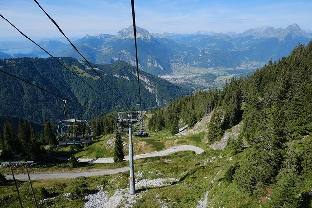
▲ On the chairlift.
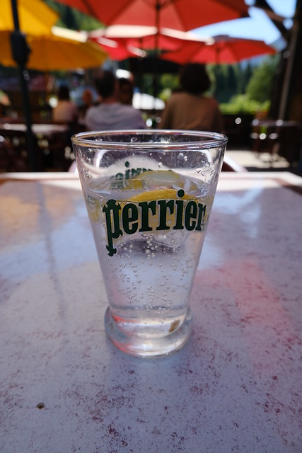
▲ Perrier-tranche (aka Perrier-rondelle), while waiting for the bus.
